#156 - February 2022
"Avian Alignments" |


October, 2009
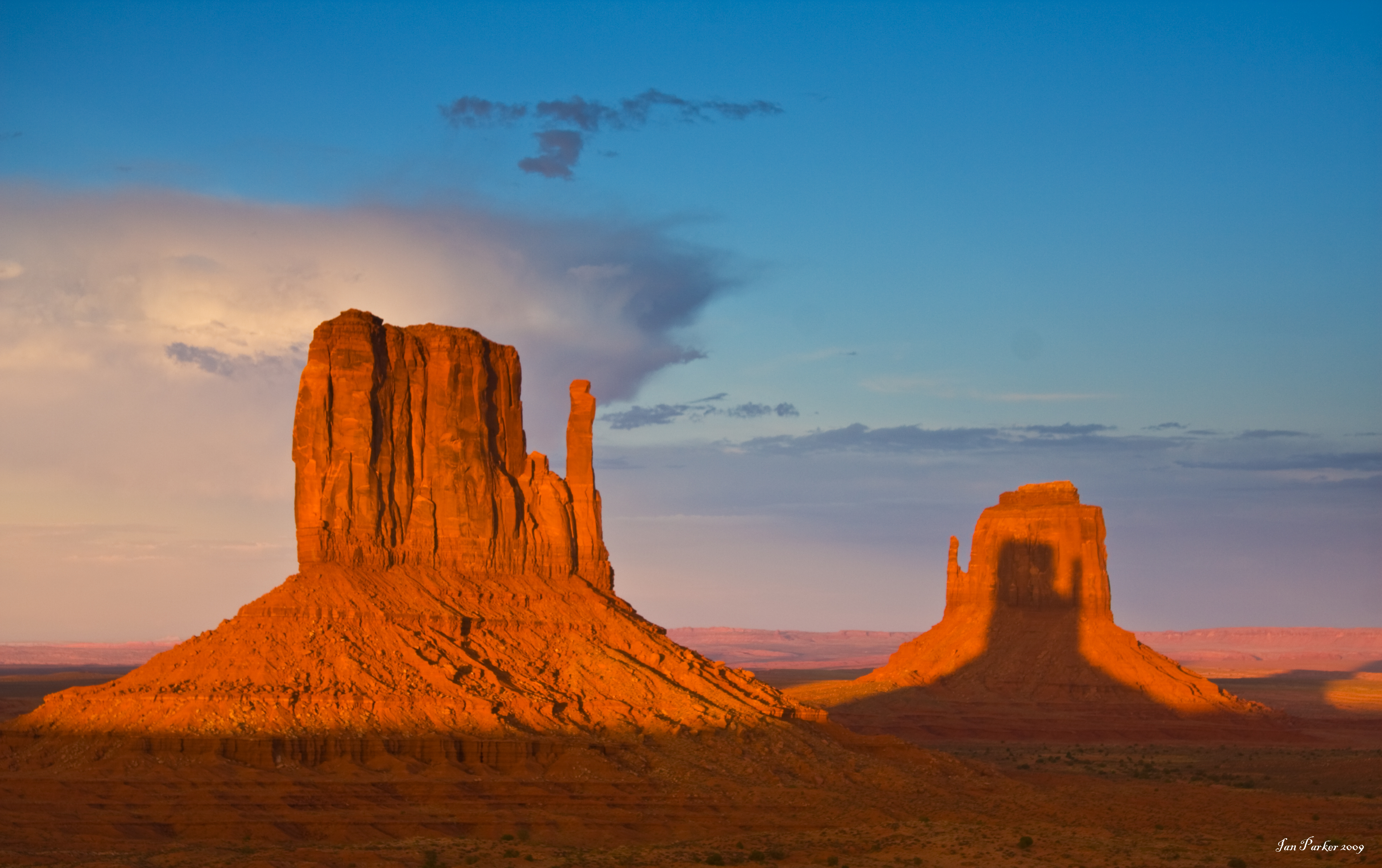
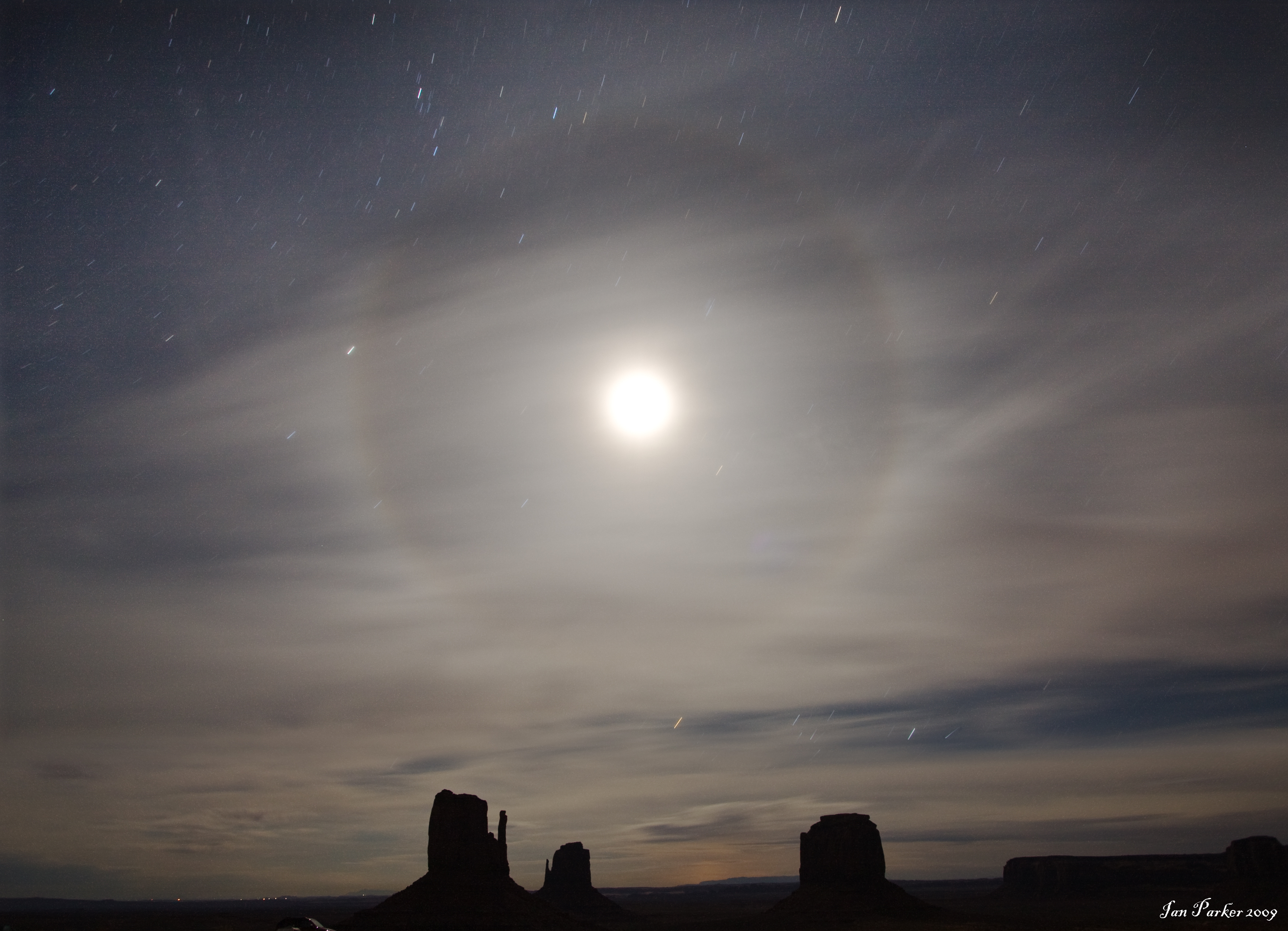
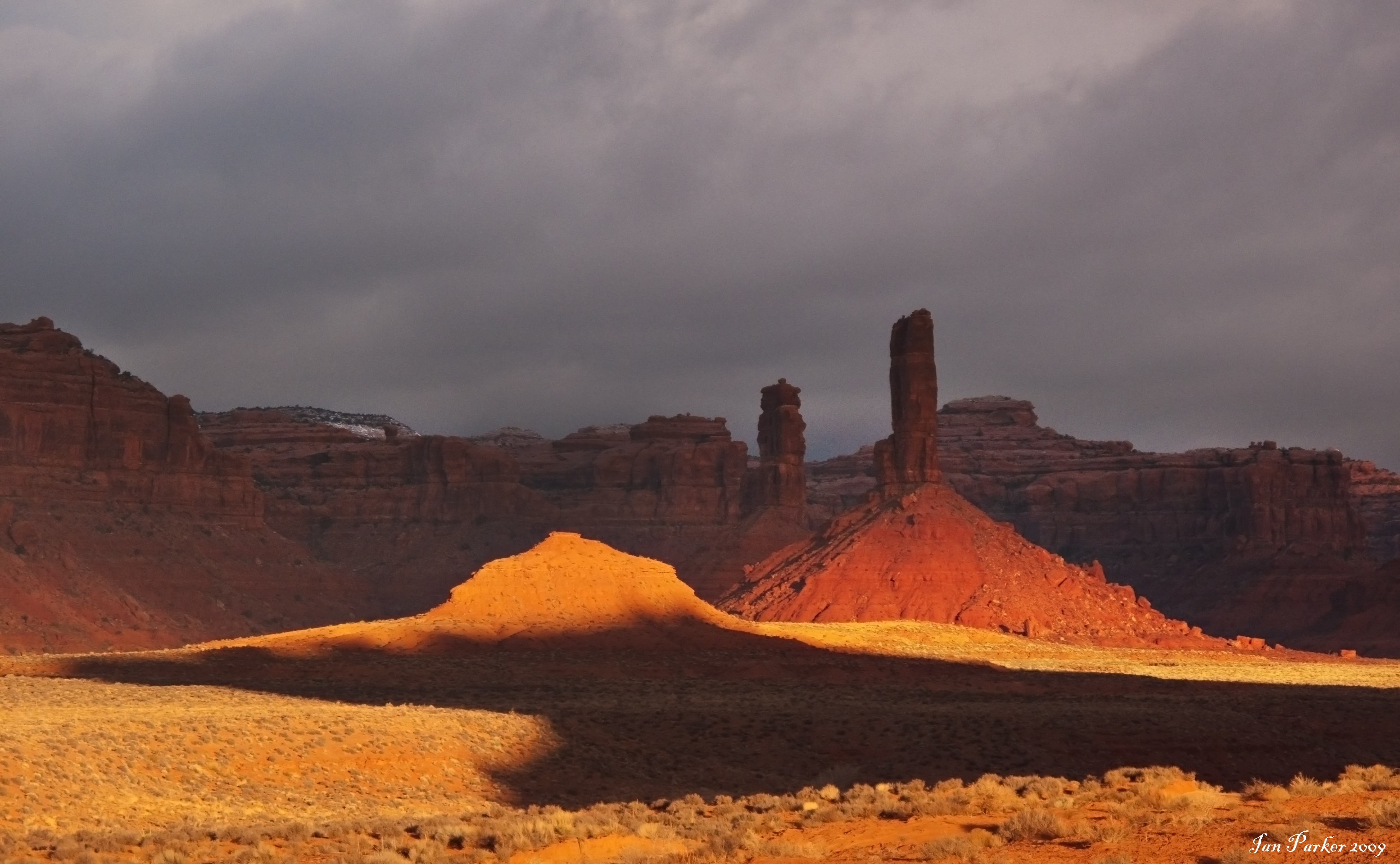
A long, long drive to Monument Valley to photograph in Monument Valley, timed for when a shodow of the West Mitten falls exactly upon its Eastern counterpart. Also, a stop at the Grand Canyon on the way back. See write-ups in 'Photo of the Month' section.
September, 2009
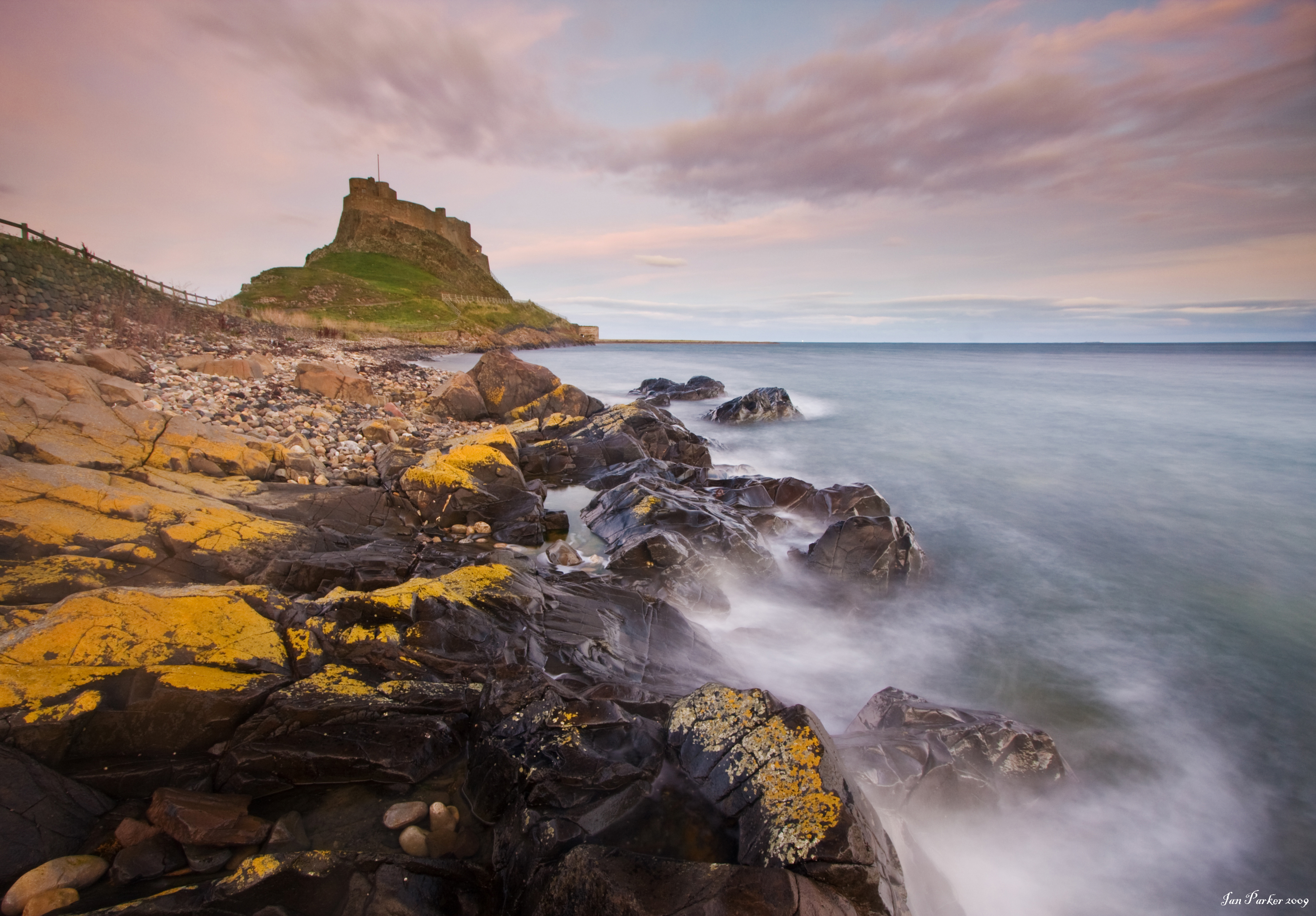
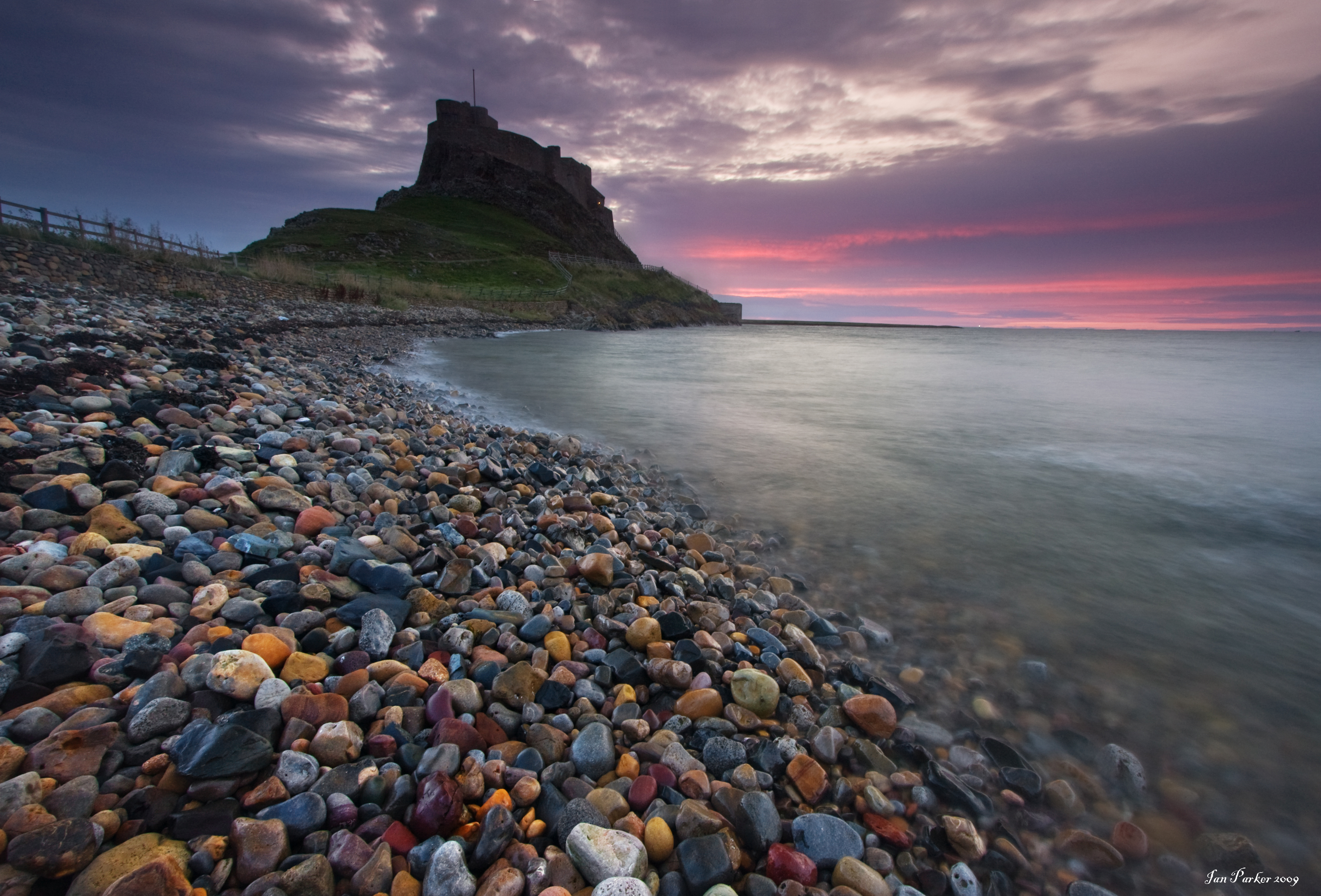
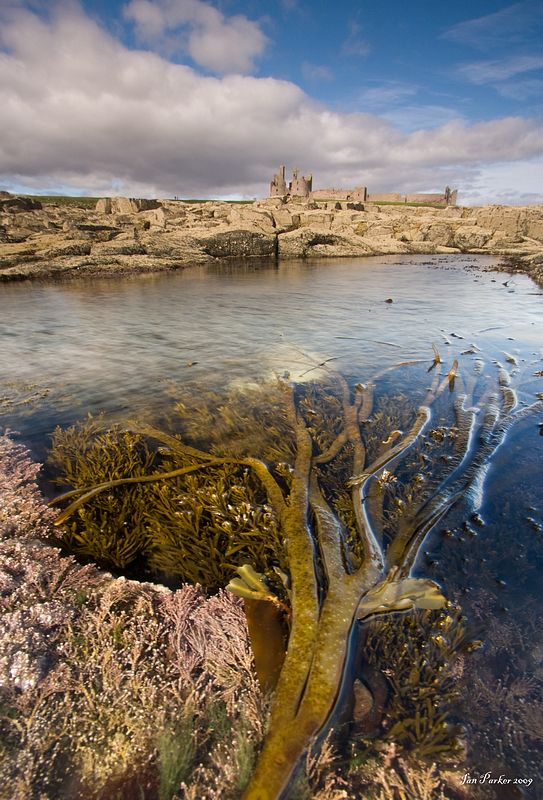
A trip to England and Scotland, taking our son, Cameron, to begin medical School at St. Andrews. Then, a slow journey down through Northumberland and Yorkshire, with opportunities for photography along the way. See the new England gallery for more photos.
August 30th, 2009
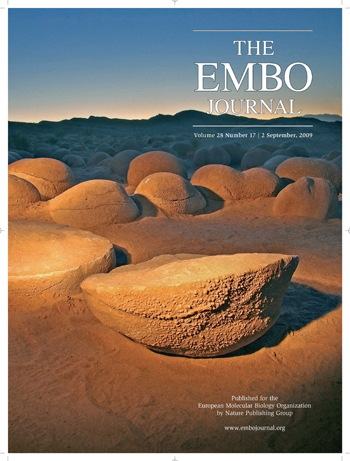 |
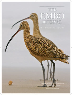
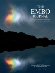
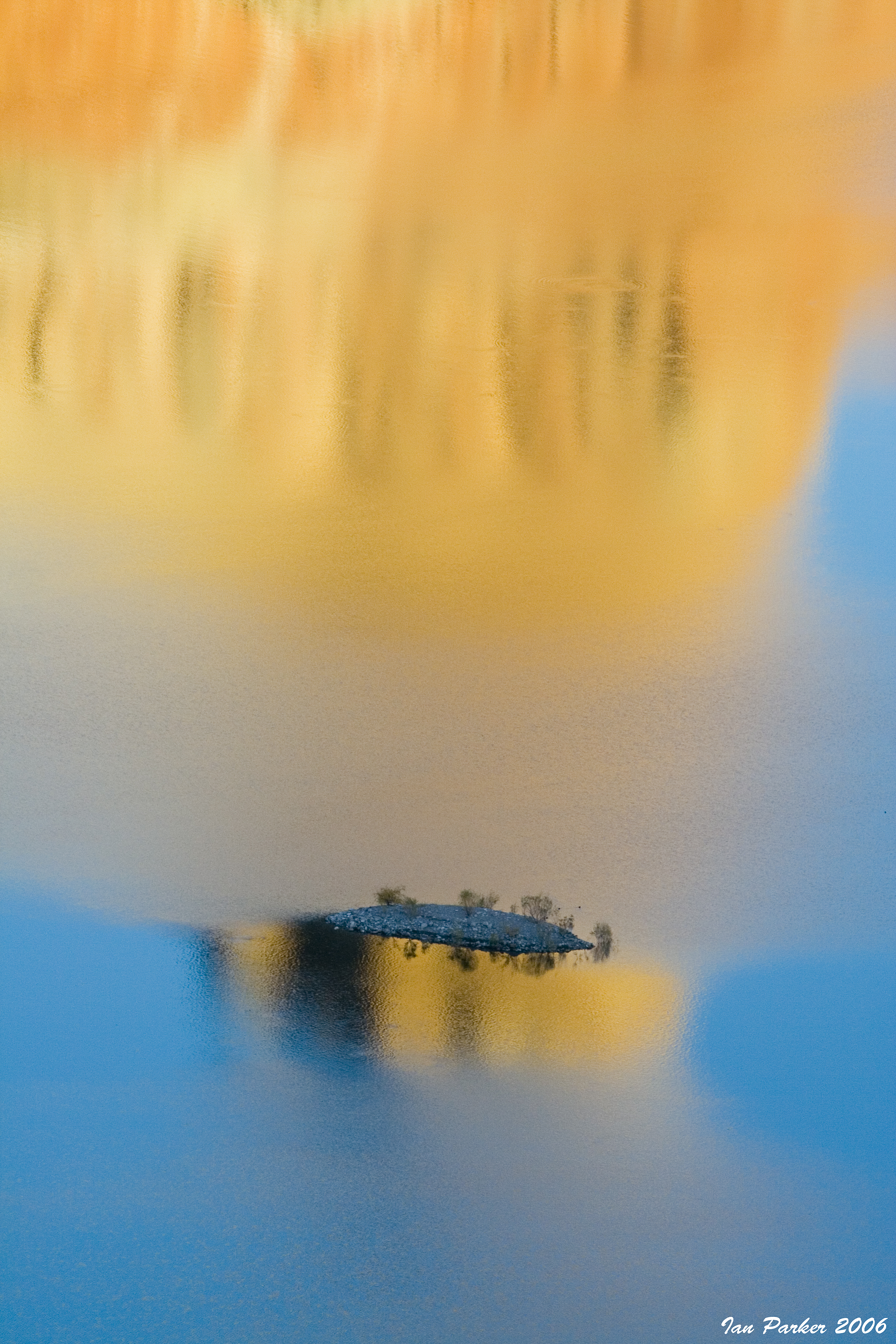
Another photo from the Evanescent Light Galleries is selected as the front cover artwork for the EMBO Journal. The picture shows the 'pumpkin patch' at Anza Borrego State Park, captured at twilight using a hand-held flashlight to illuminate the rock accretions.
Click HERE to download the original image at full resolution, and HERE see more images of the pumpkin patch.
To see other photos that have been featured by EMBO, click HERE |
August 20th, 2009
Back from Iceland. A great trip, though more expensive than anticipated owing to an unintended interaction between our rental car with only 3 inch clearance under the transmission and a 3 1/2 inch high rock. I have now finished uploading most of the photos. A few favorites are below, but please visit the new Icelandic galleries to view the full selection.
July 29, 2009
Depart for a 10 day trip to Iceland
June, 2009
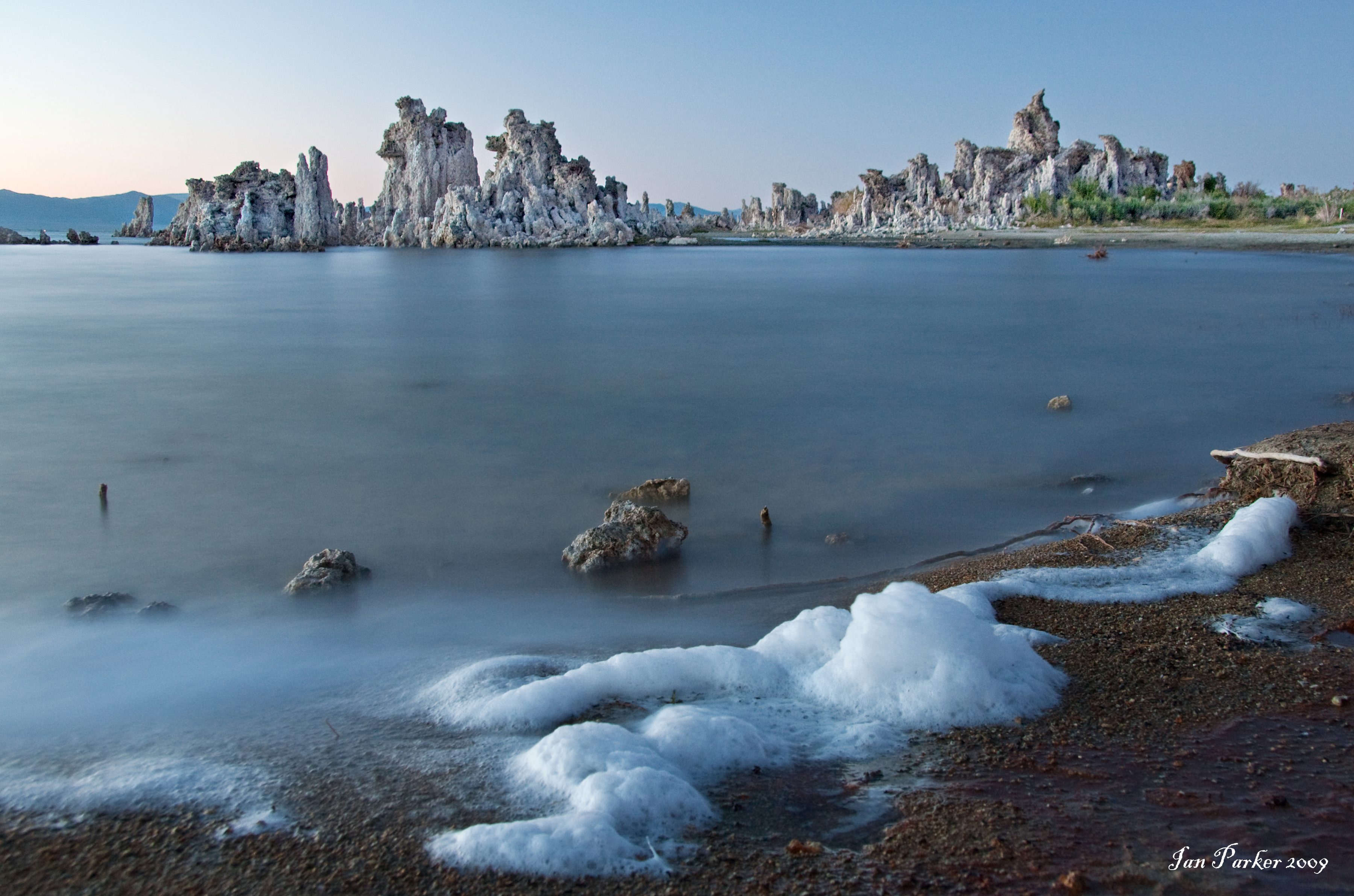
A four-day trip, starting with Badwater training in Death Vally, then North for sunrise and sunset photos at Mono Lake, and excursions over Tioga Pass for day-hikes in the High Sierra from Tuolumne Meadows.
April, 2009
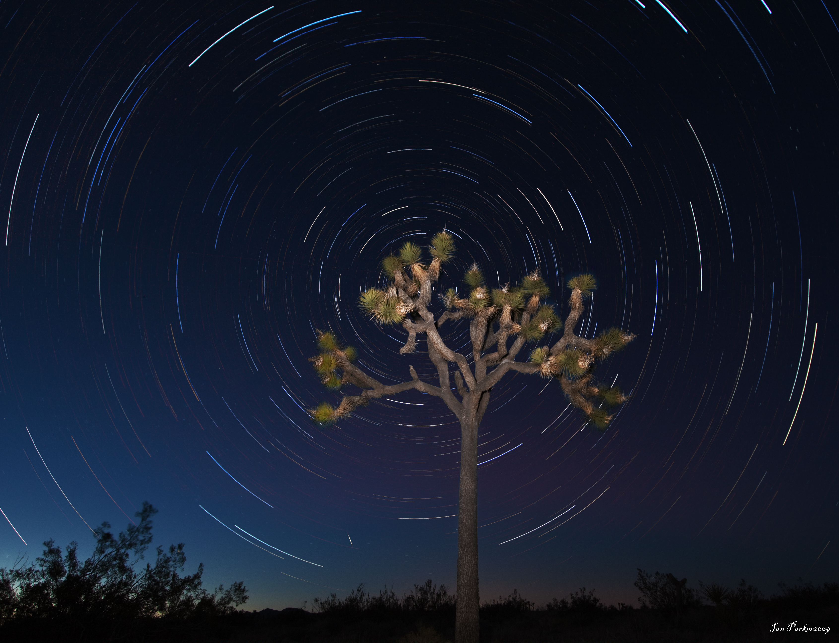
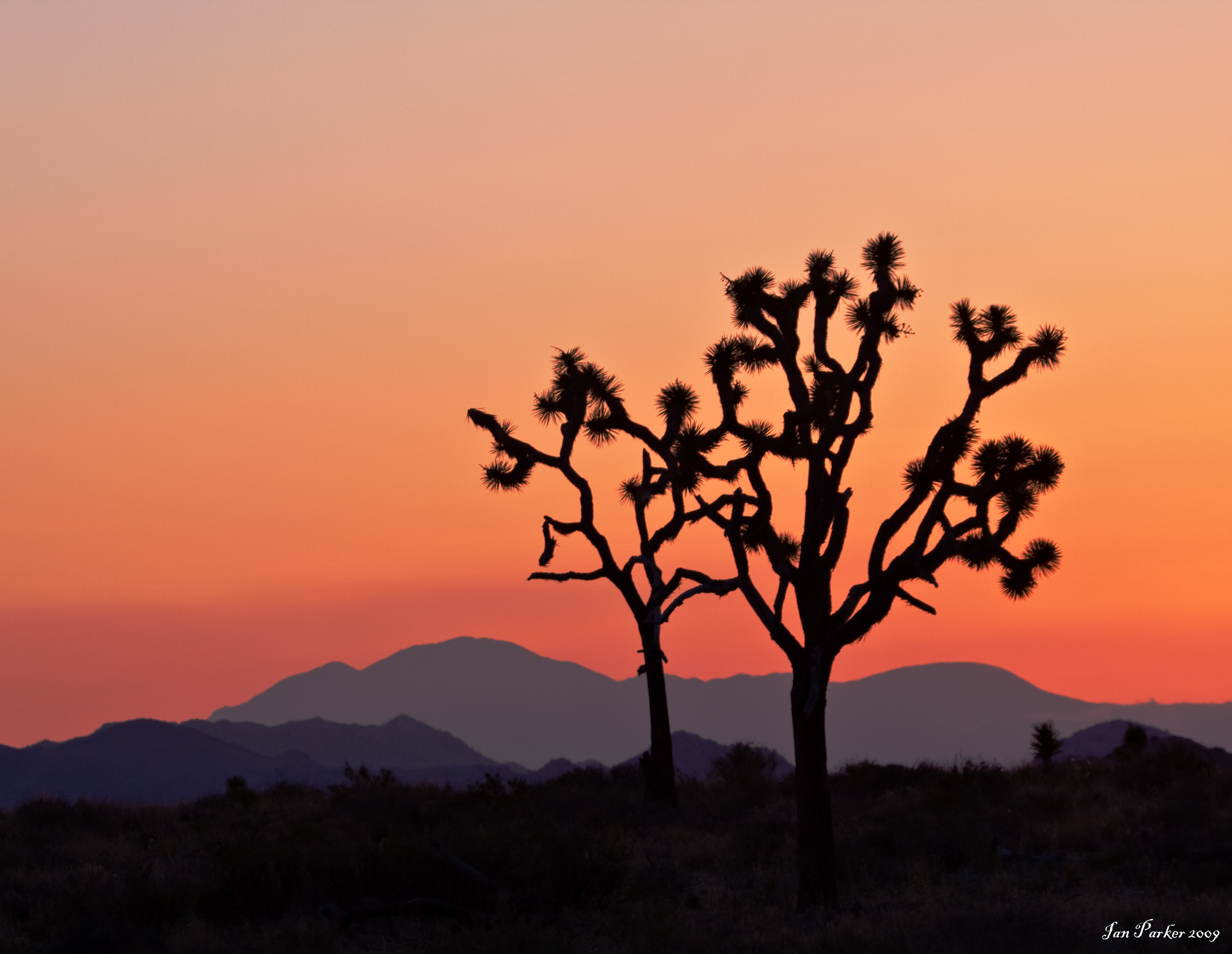
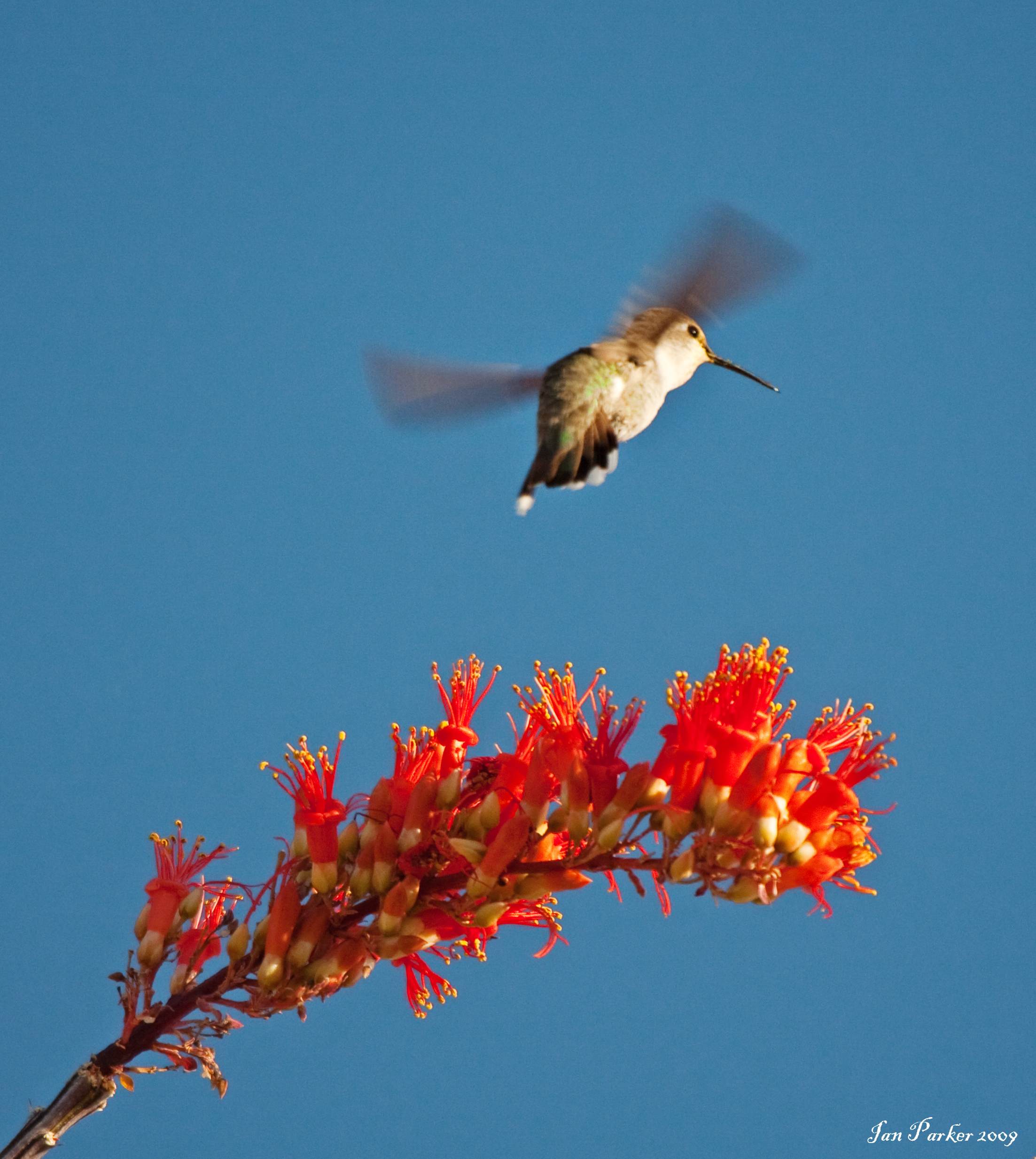
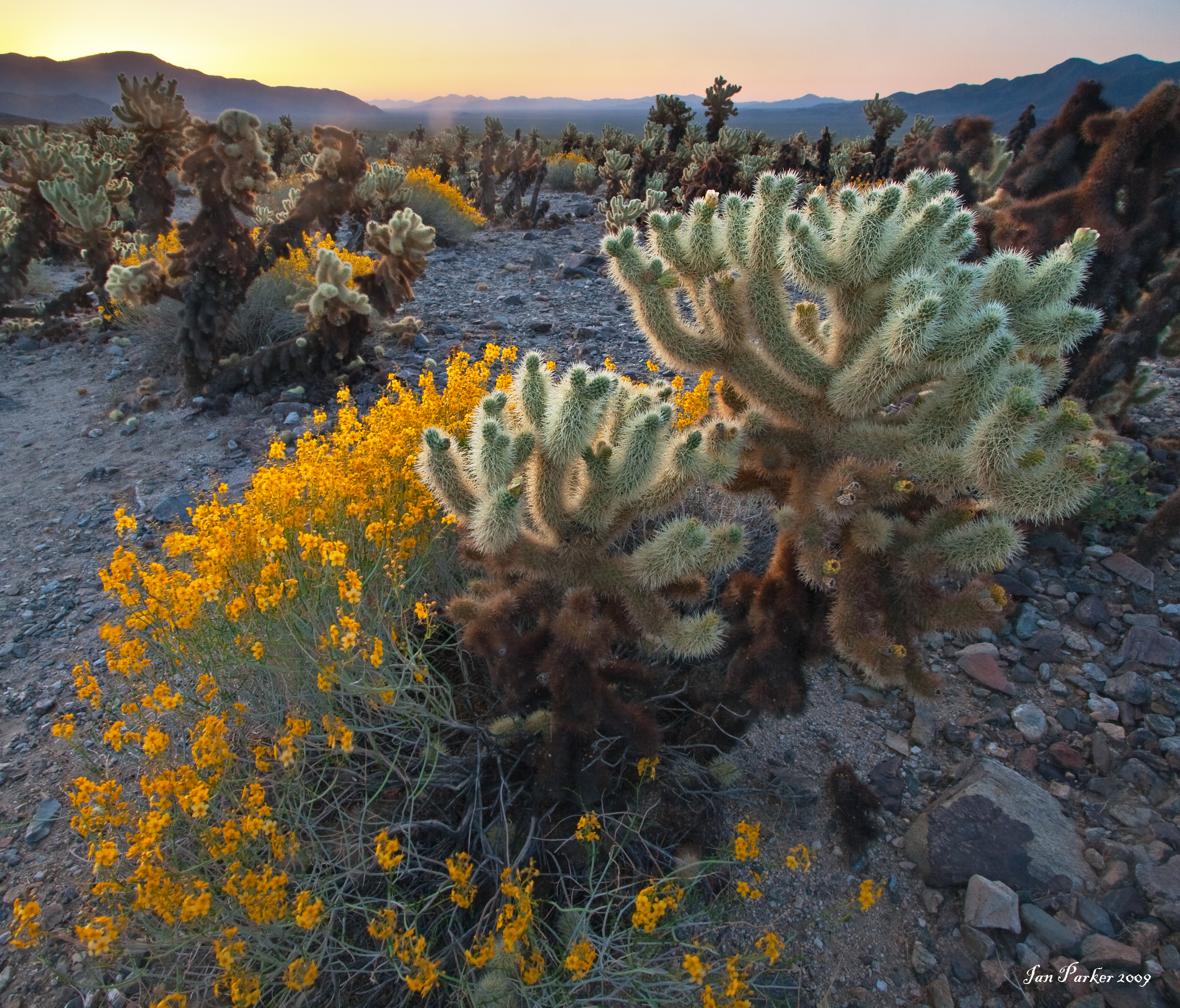
A selection of photos from a weekend trip to Joshua Tree National Park. This is an annual visit, when I take graduate students from my neuroscience lab course out for the day to celebrate the end of the class and introduce them to rock climbing. Afterward, I stayed overnight, and spent a cold night in front of a Joshua tree taking star circle photos, followed by a contemplative morning watching hummingbirds feed on ocotillo blooms. Go to the Joshua Tree gallery for more photos.
March 2009
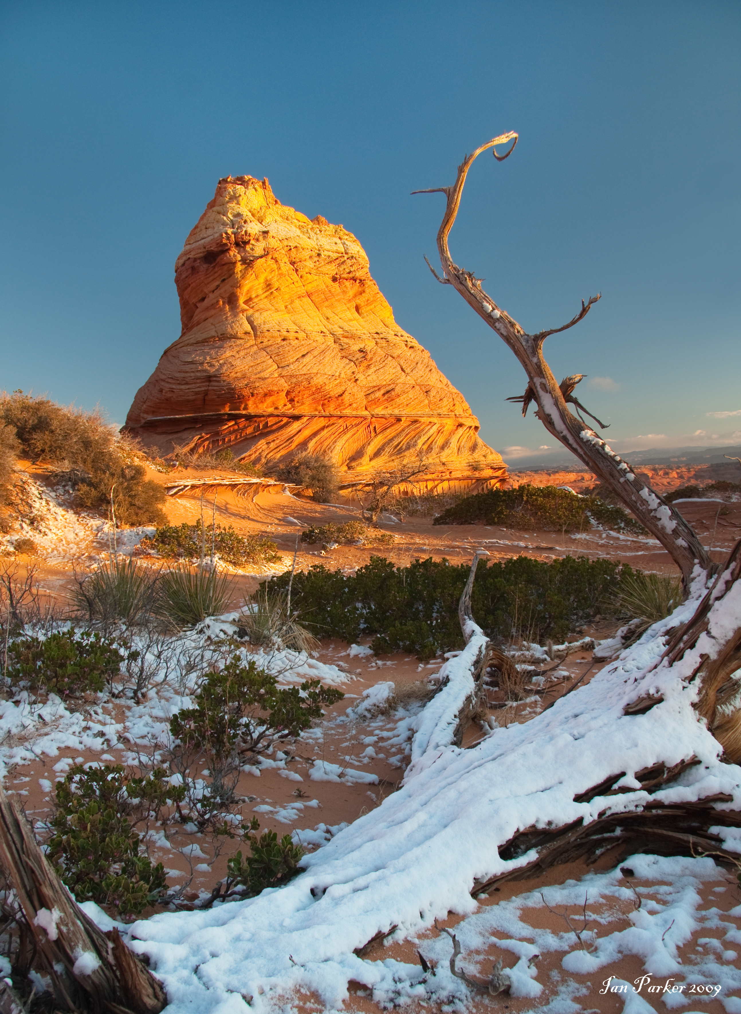
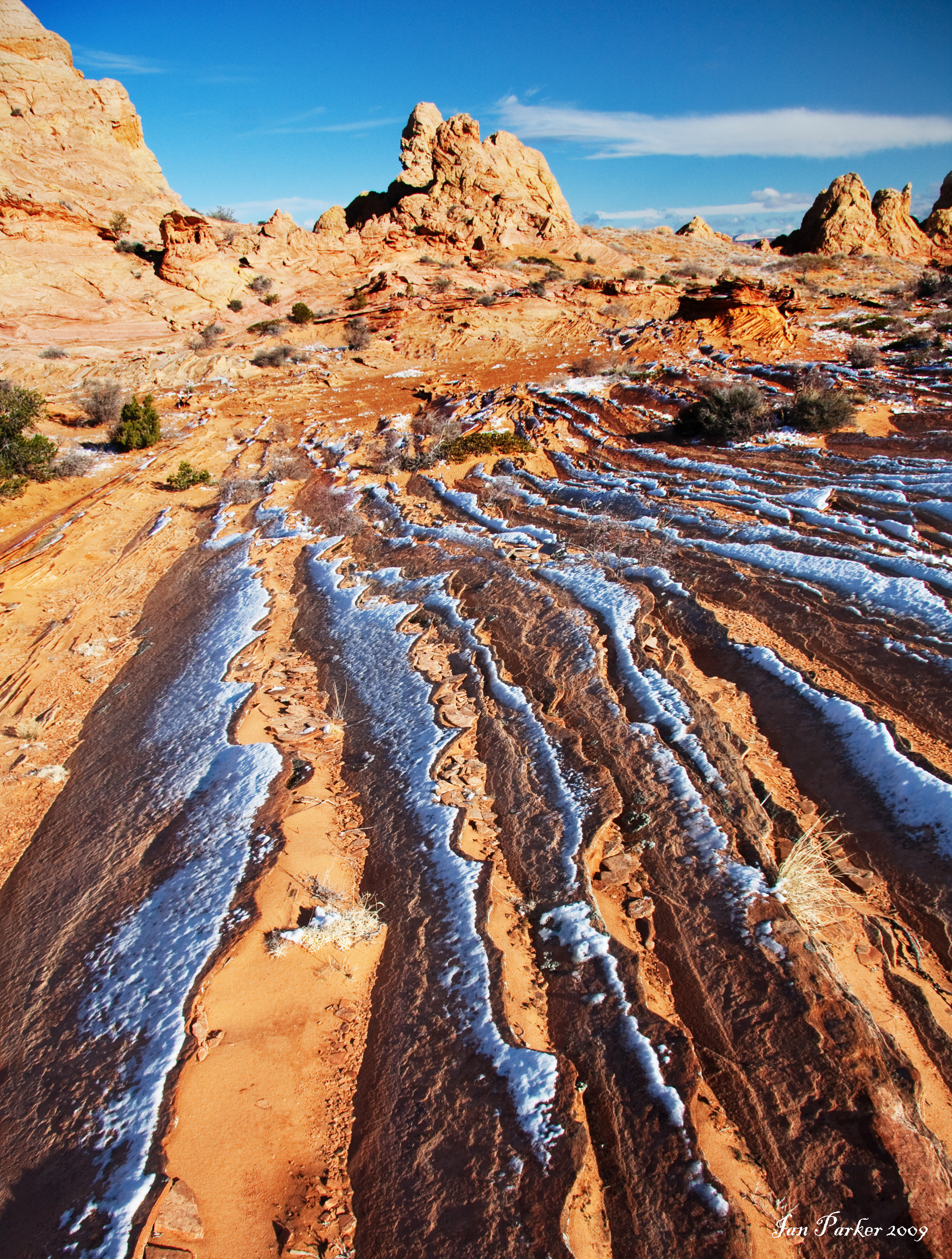
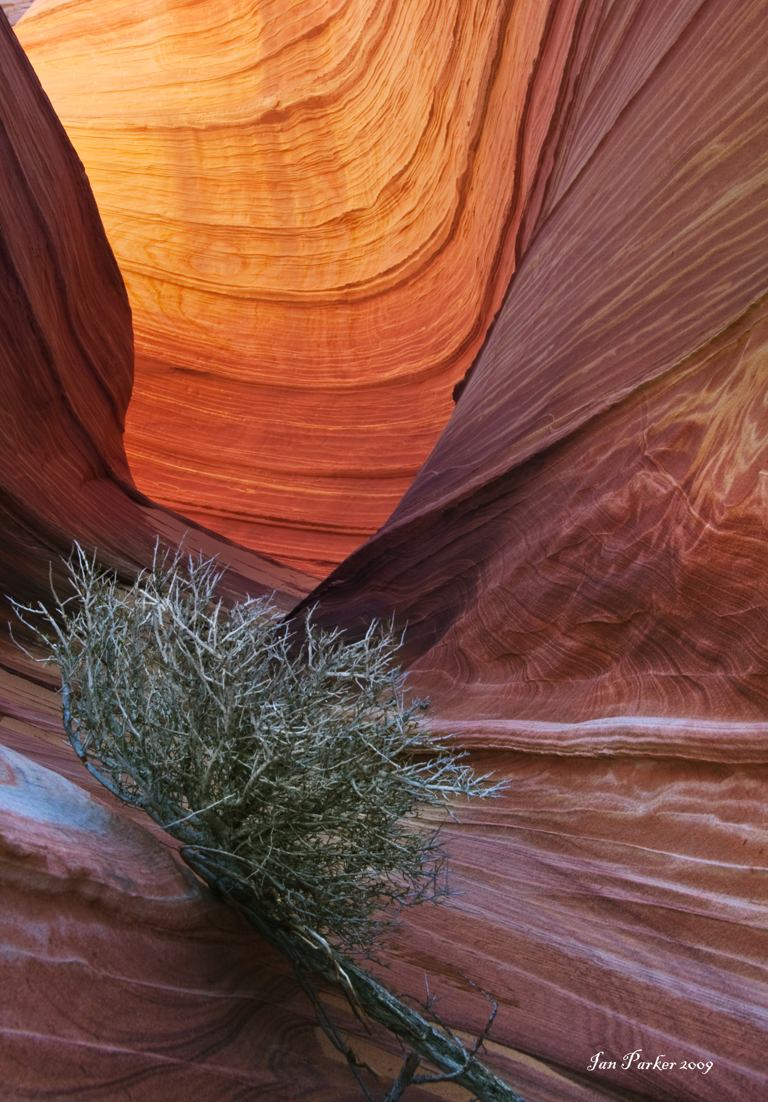
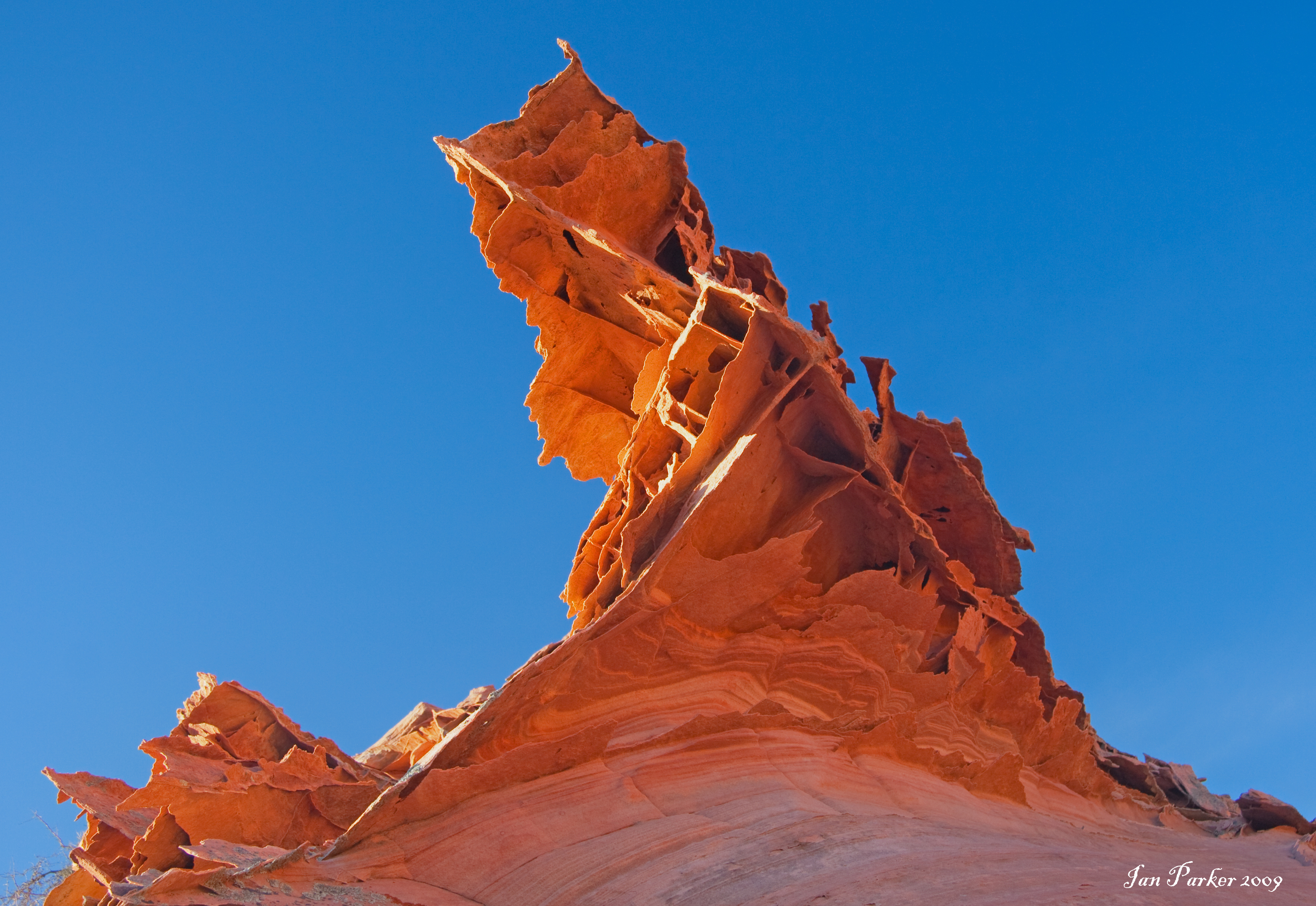
SSpring Break trip to N. Arizona. Had booked a permit for 3 days at S. Coyote Buttes in advance, and was lucky to get a permit for The Wave at the walk-in lottery. In light of how difficult it is to gain access to The Wave, I was surprised at how short a time visitors spent there. Everyone was gone by 3:00pm, and I had the place to myself for evening photos. I was glad to have a GPS with me for the return journey in fading light. Although navigation TO the Wave is straightforward, it can be remarcably difficult to navigate back to the saddle leading off the plateau.
February 2009
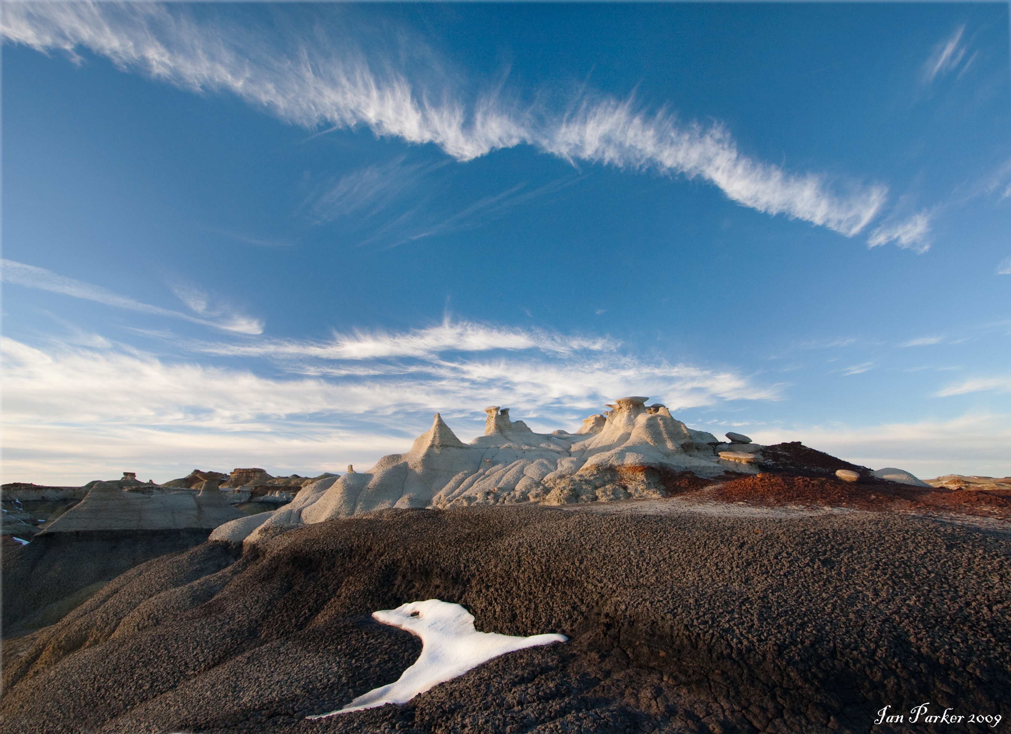
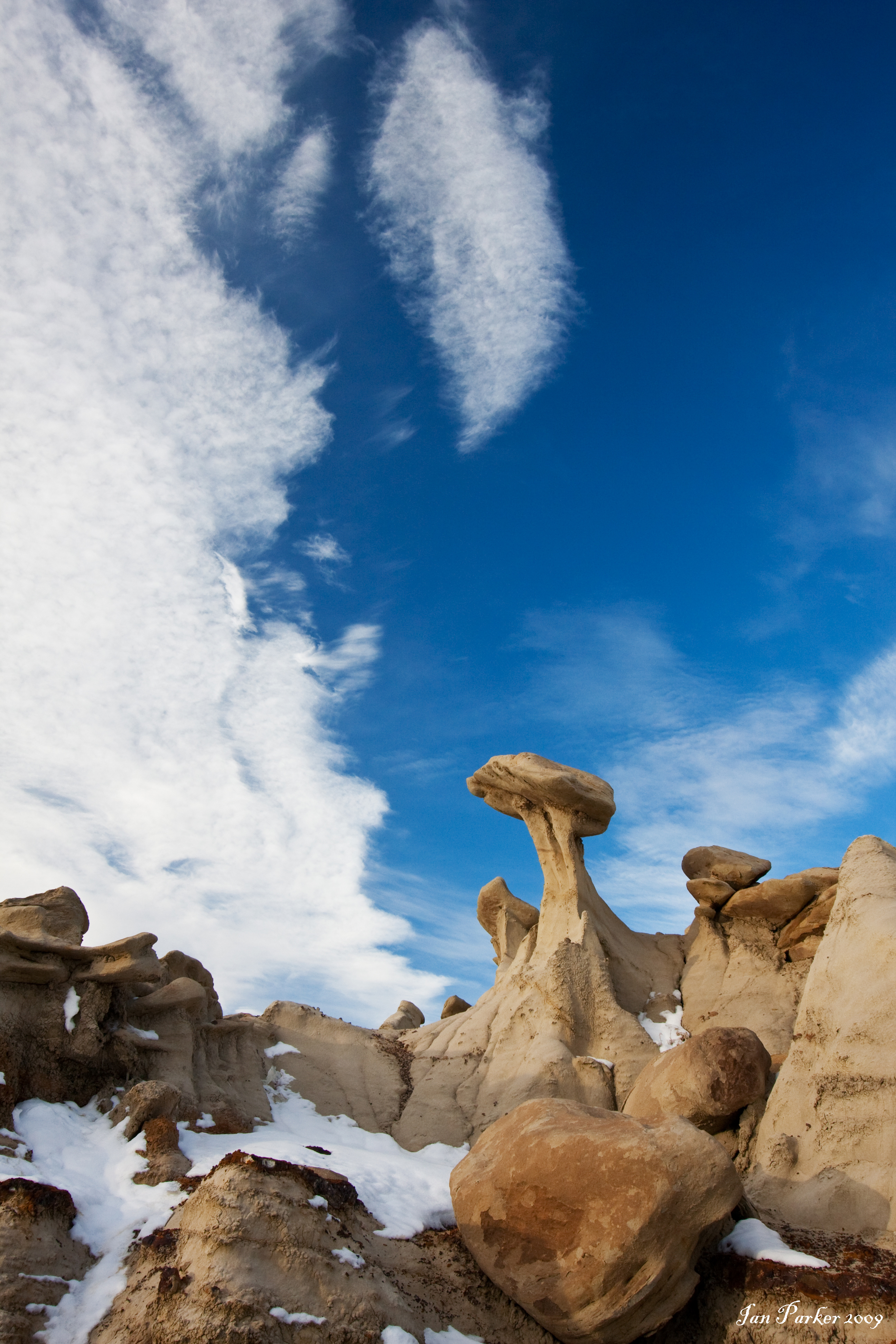
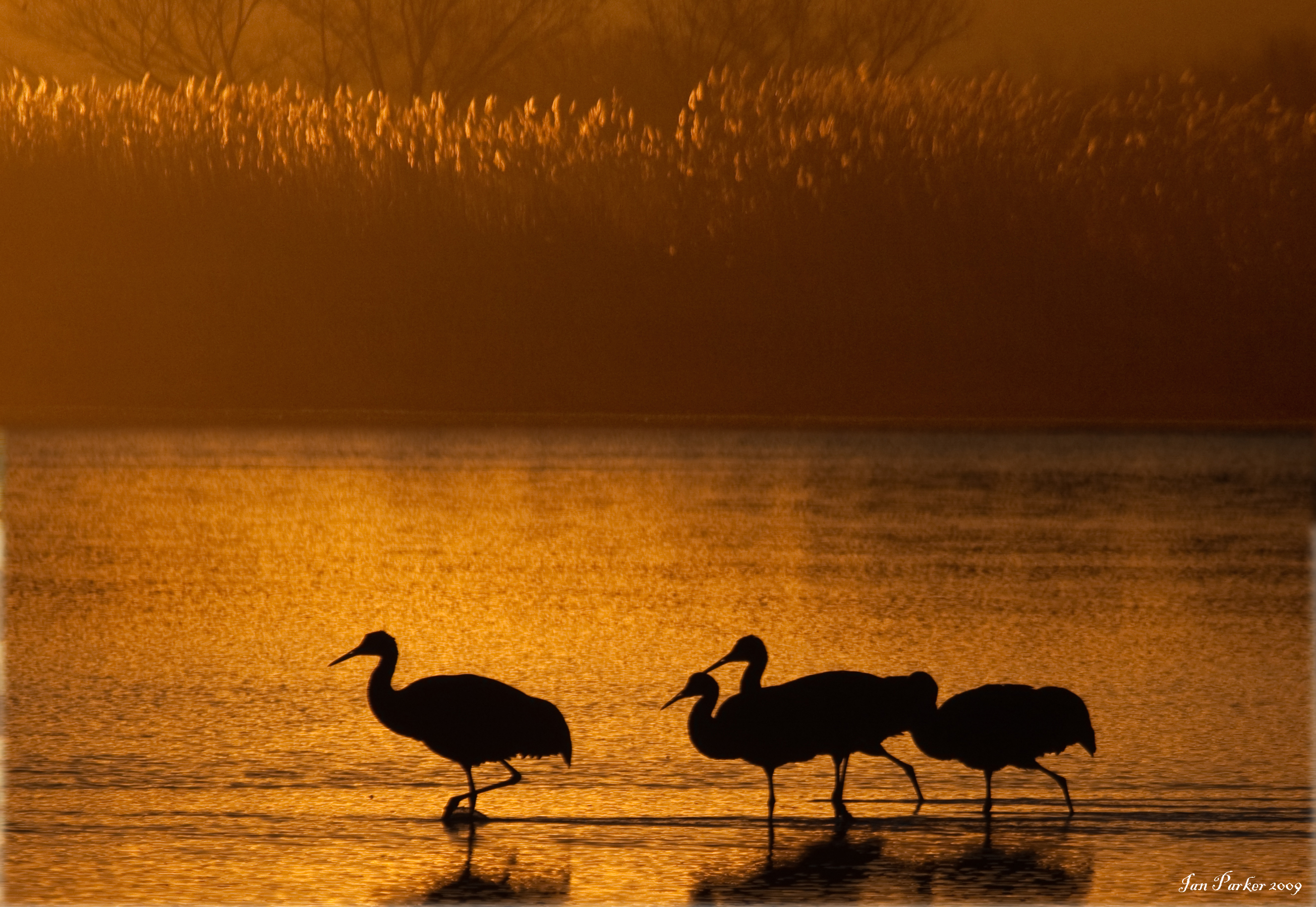
A meeting with scientific colleagues in Albuquerque provided an excuse for an extended road trip through New Mexico, Arizona and Utah, with highlights including Bisti Badlands, Bosque delApache, Grand Canyon, Valley of the Gods and Aztek Ruins.
|
January 2009
Photo from the Evanescent Light Galleries selected for the front cover of the EMBO Journal.
|
Christmas 2008
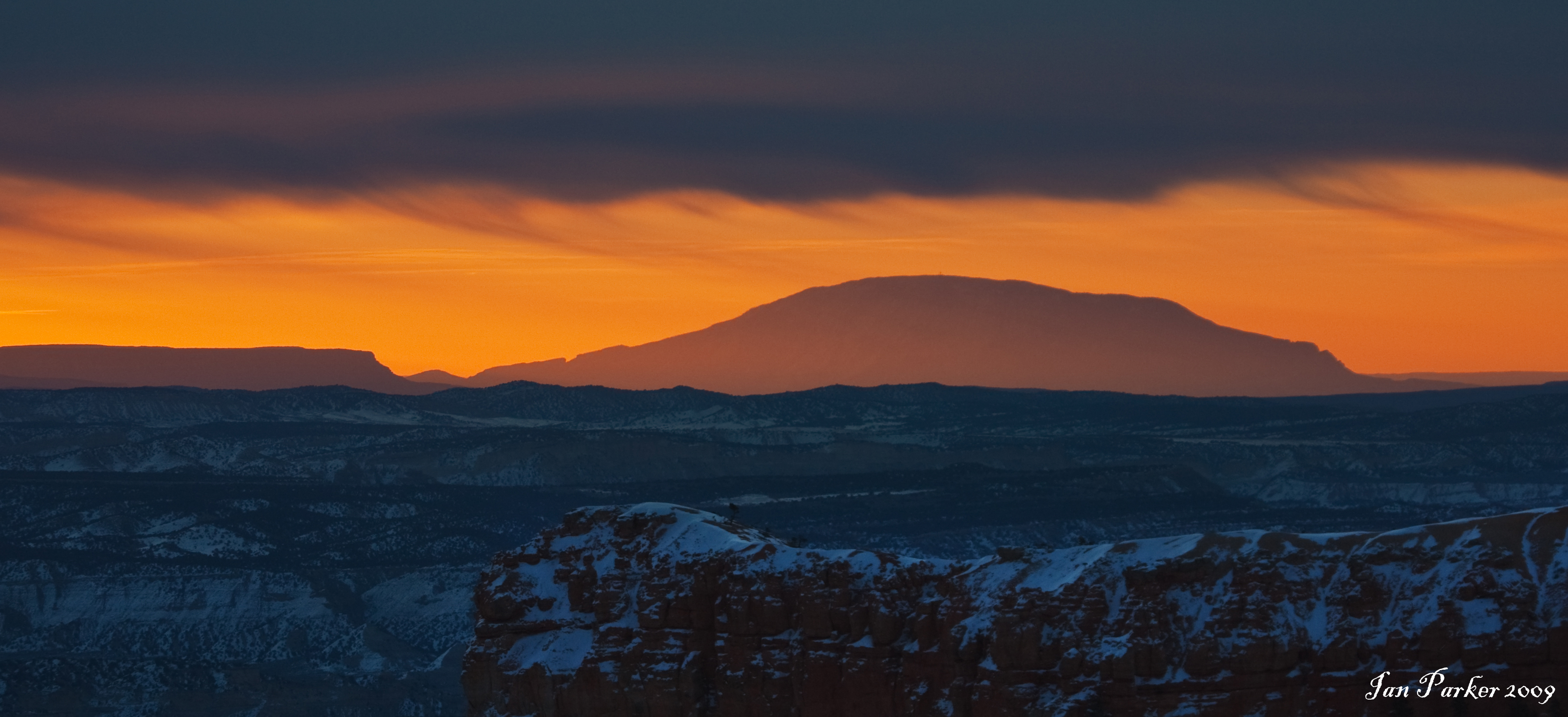
Camping trip to Nevada and Utah. A big winter strom and heavy snowfall restricted travel, and we detoured for a second visit to Little Finland on the way out to let the weather settle. Stayed mostly in the forest outside Zion, with a one day excursion to Bryce. Snow was too deep to do much other than hike along roeds or well trodden trails.
December 2008
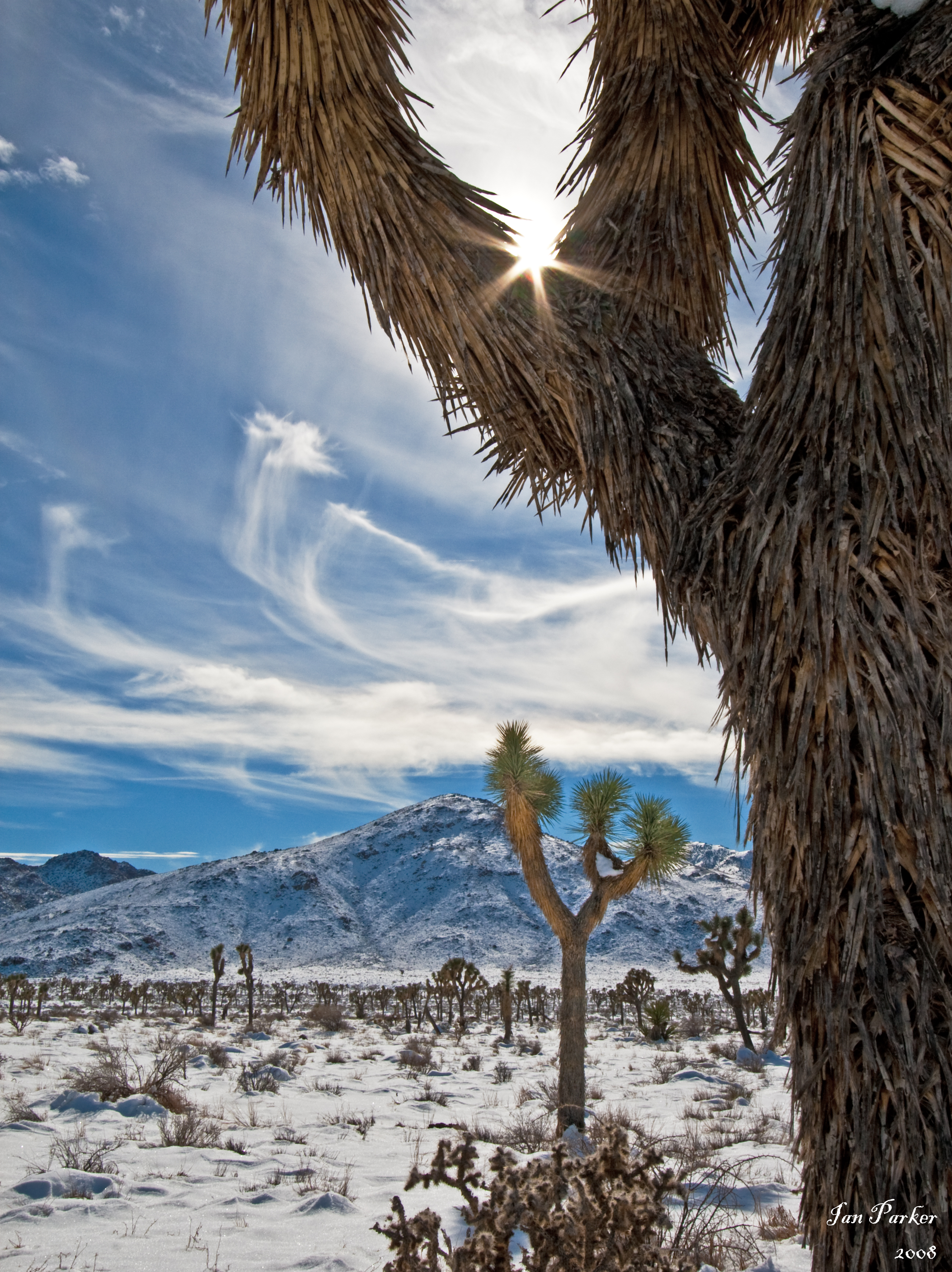
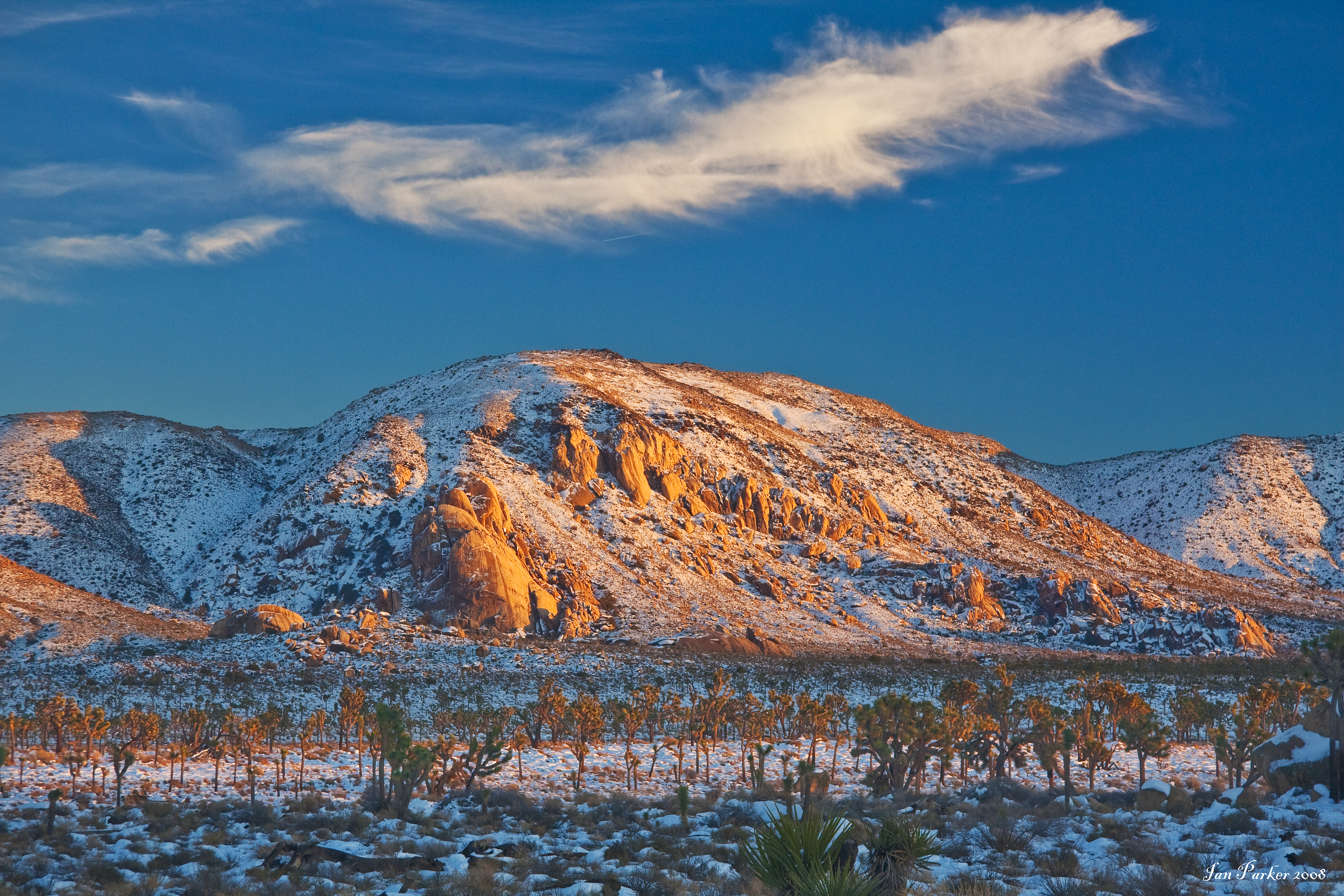
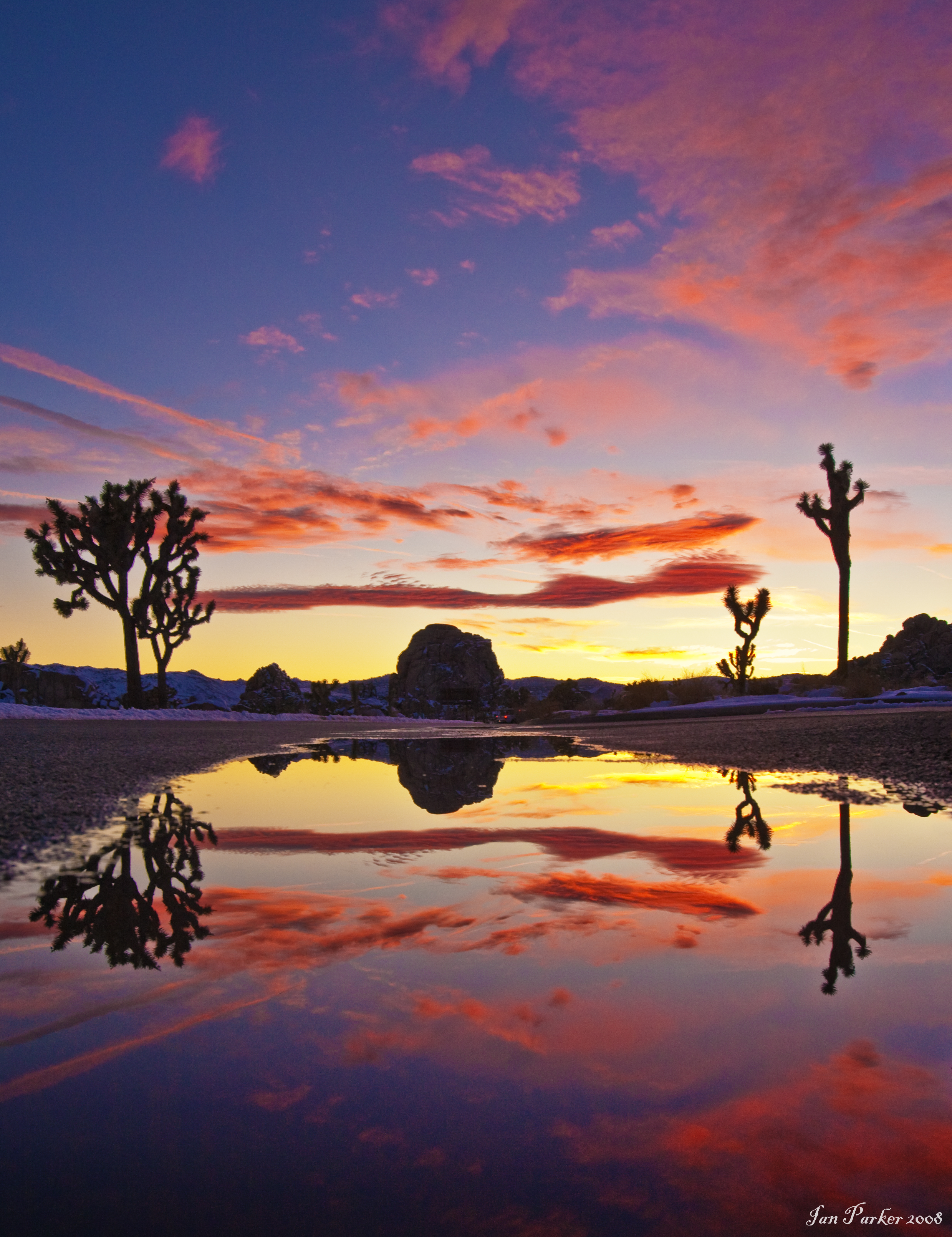
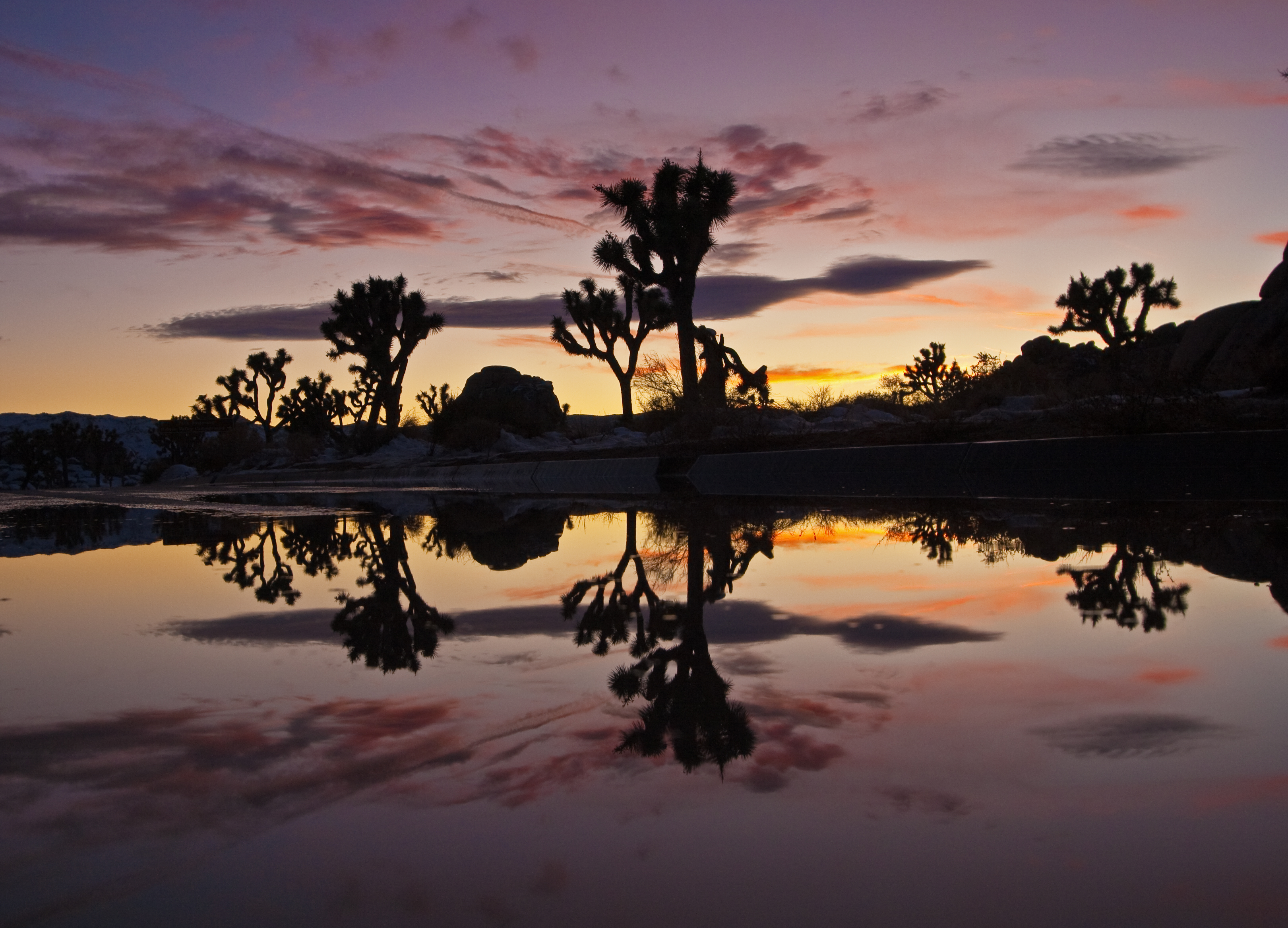
A most remarkable day at Joshua Tree National Park. A strong winter storm had left the Park covered in snow, fantastical whispy clouds and sundogs filled the sky, and a spectacular sunset to end.
September 26, 2008
Returned from one-week photo trip to Mono Lake, Bodie and the White Mountains. Added new images to Mono Lake and Bristlecone Pine galleries, and started new Bodie gallery. Click these links to view more photos.
September, 2008
|
Photo from the Evanescent Light Galleries selected for the front cover of the EMBO Jurnal. Click HERE for a larger view of the cover, and HERE for the original image.
|
June, 2008
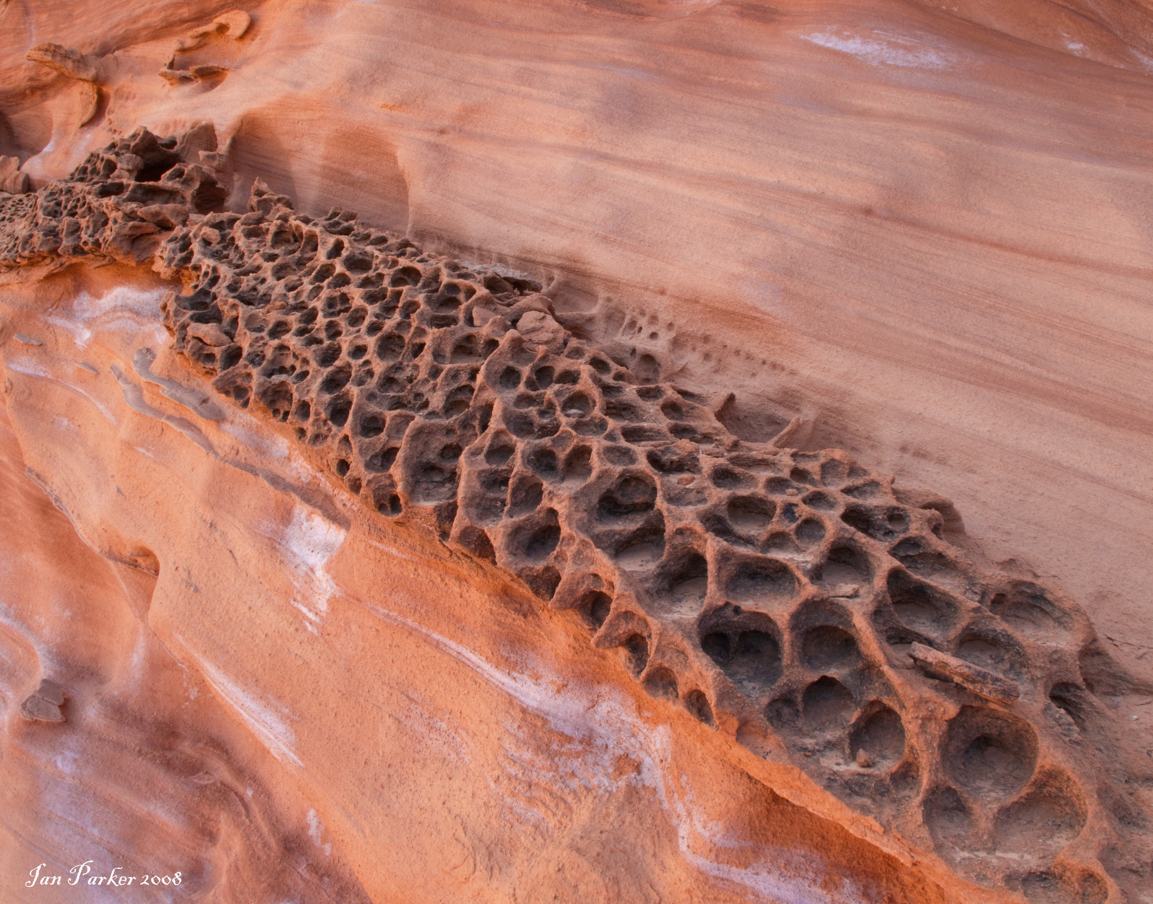
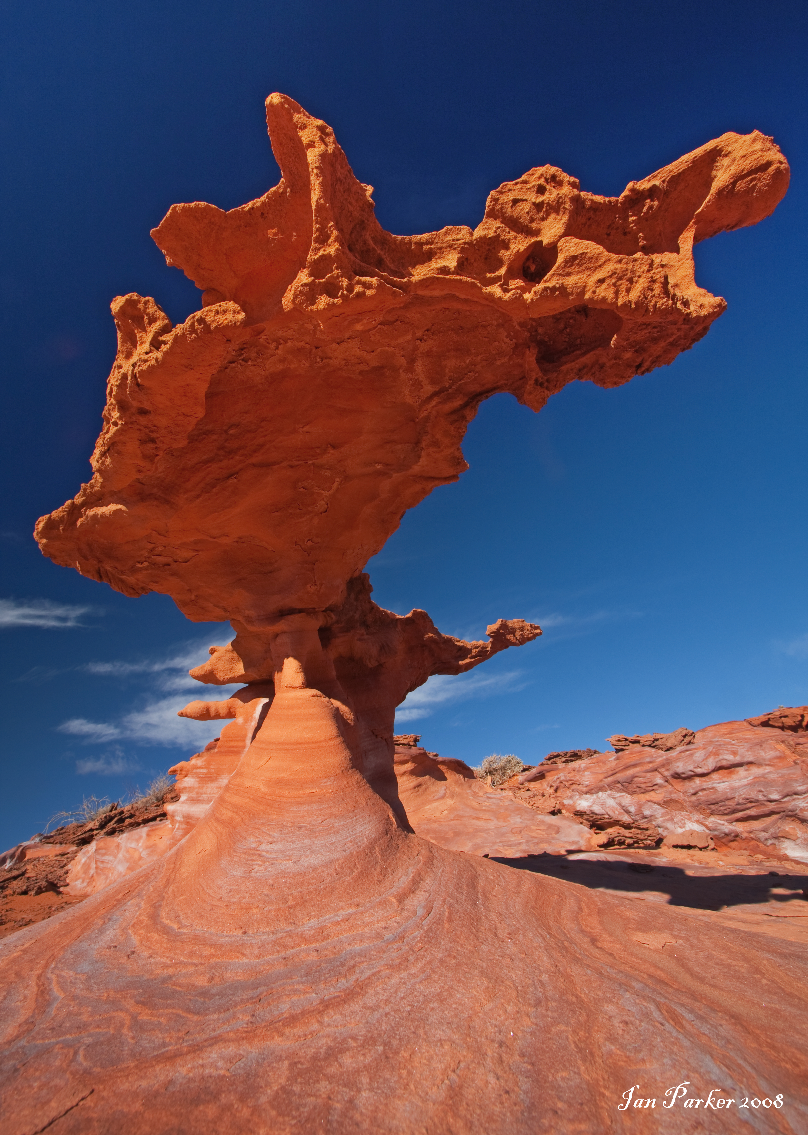
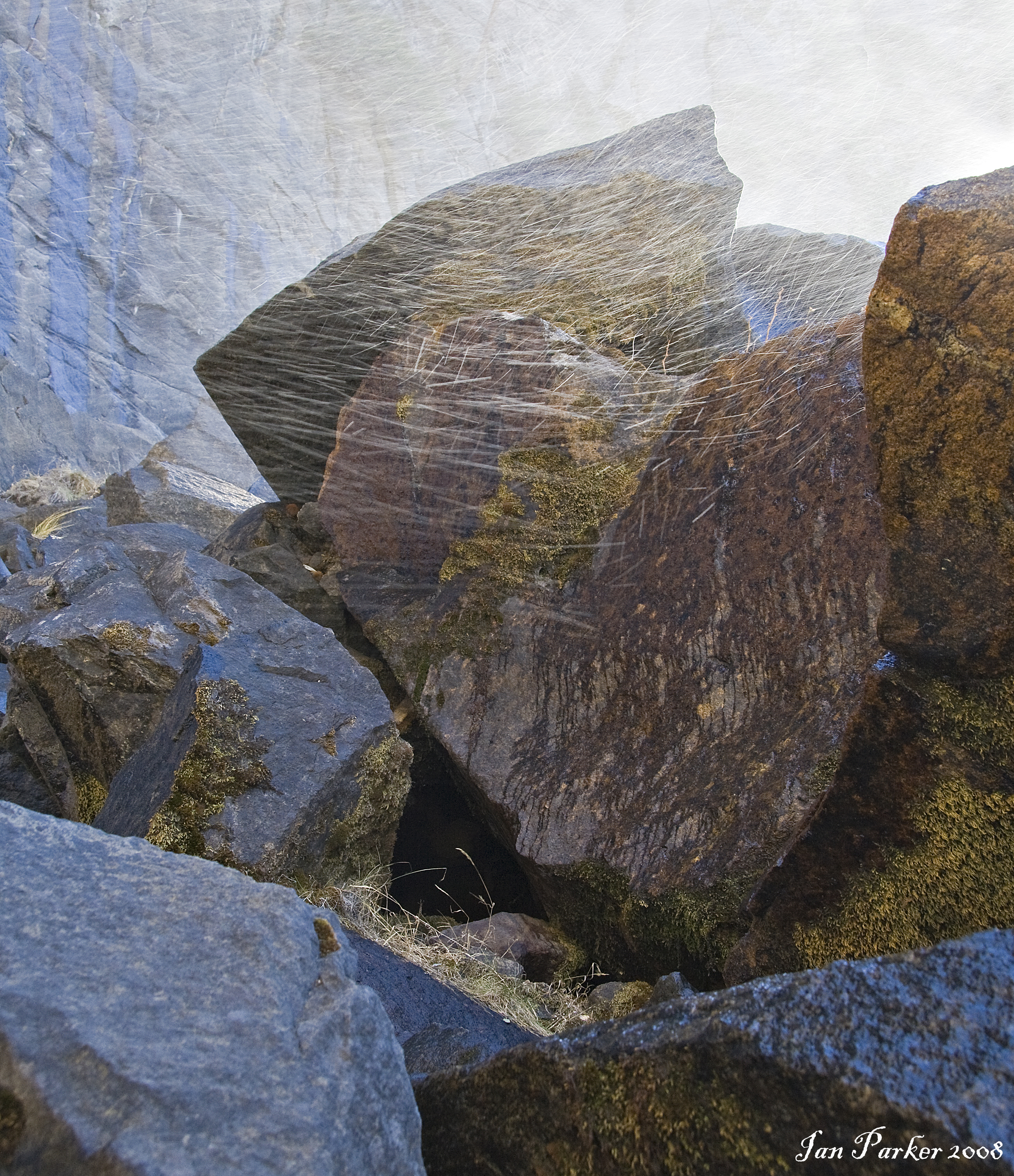
Added new gallery of photos from "Little Finland", a remote area of strangely eroded sandstone formations in Southern Nevada.
May 2, 2008
Several photos from the Evanescent Light Galleries are featured in the current issue of 'Muse India', an online literary journal.
April 24 , 2008
Photo from the Evanescent Light Galleries ("Serenity") is featured on the front cover of the latest issue of the journal of the European Molecular Biology Organization.
Photo of Mt. Whitney framed by the Alabama Hills Arch appears as the front cover artwork of the new Inyo National Forest Atlas
|


