evanescent: fleeting, transitory
evanescent wave: a nearfield standing wave, employed for total internal reflection microscopy
For faster browsing, click on the underlined text legend below any of the thumbnail images in the galleries. Use your browser BACK button to return you to the gallery. If you find a picture you like, you can download the image at full original resolution (usually between 10-30 Mpixels; with some panoramas >100 Mpix) by clicking on the thumbnail itself. To save a downloaded image, right click on it and scroll to 'save picture as...'. To use an image as your desktop background, right click and scroll to 'set as background...'.
Visitors are welcome to download images for personal use (e.g. as computer desktop wallpaper). Click HERE to order prints online. Please contact Ian Parker at evanescentlightphotography@gmail.com regarding possible commercial use. Details of copyright, image use and licensing are HERE. |
|
| |
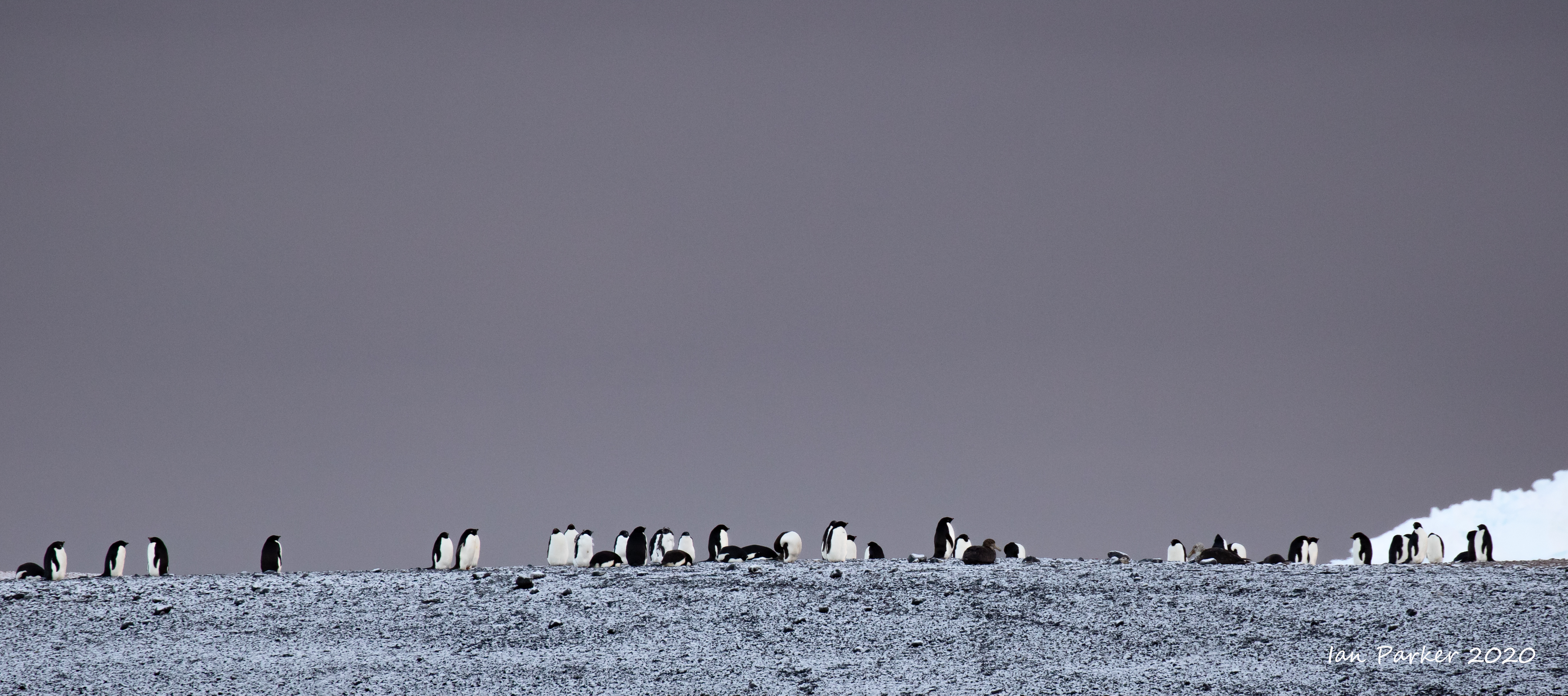
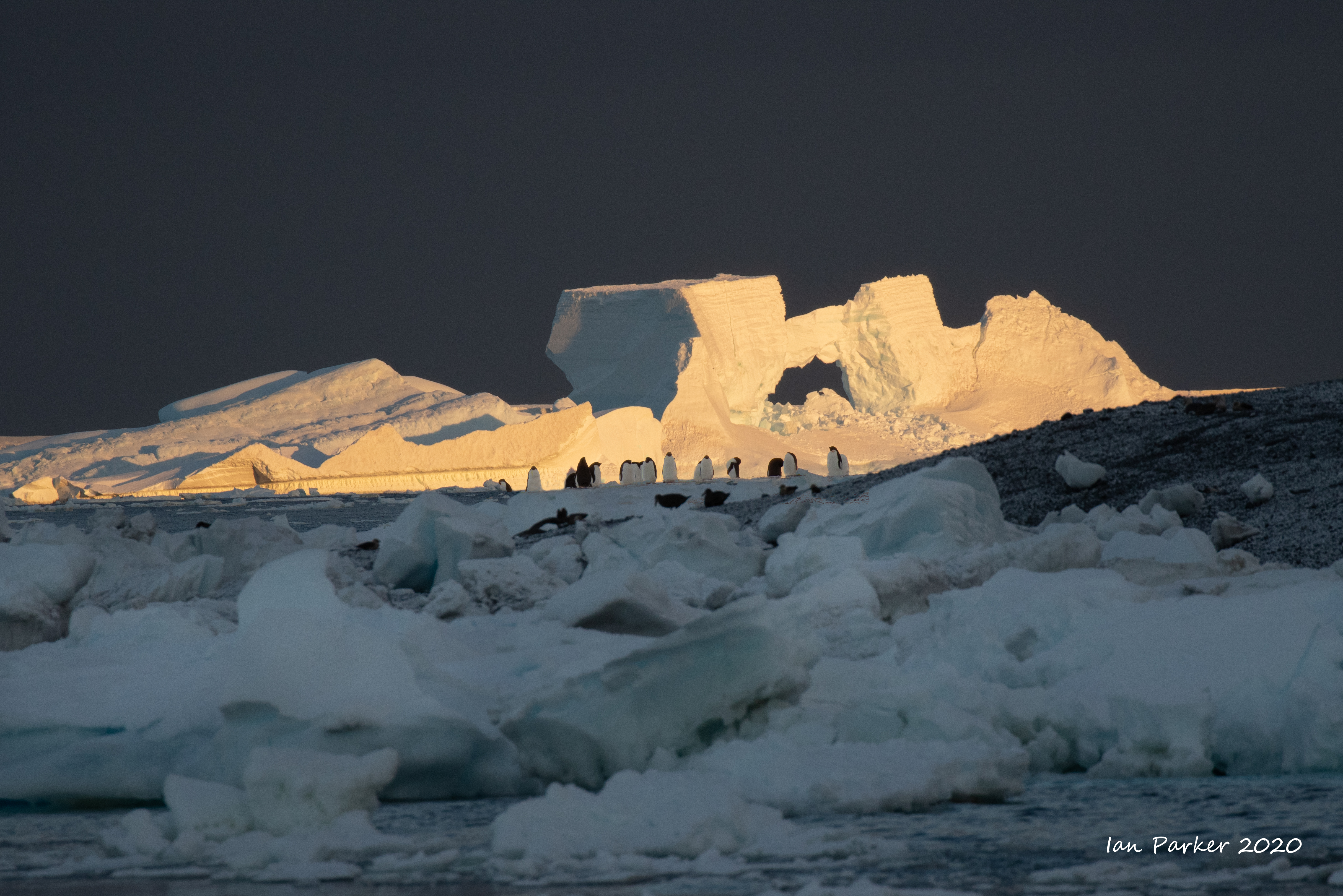
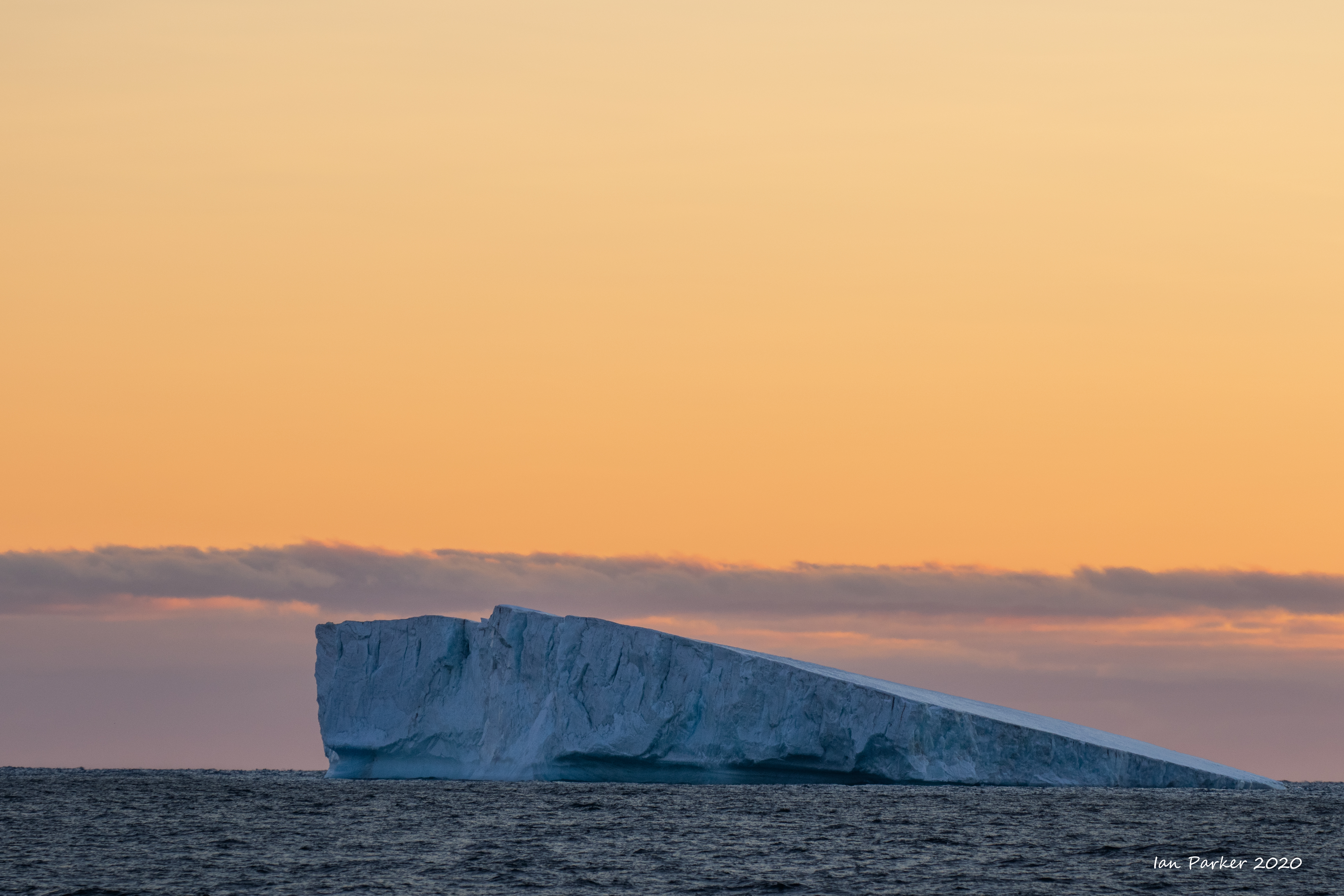
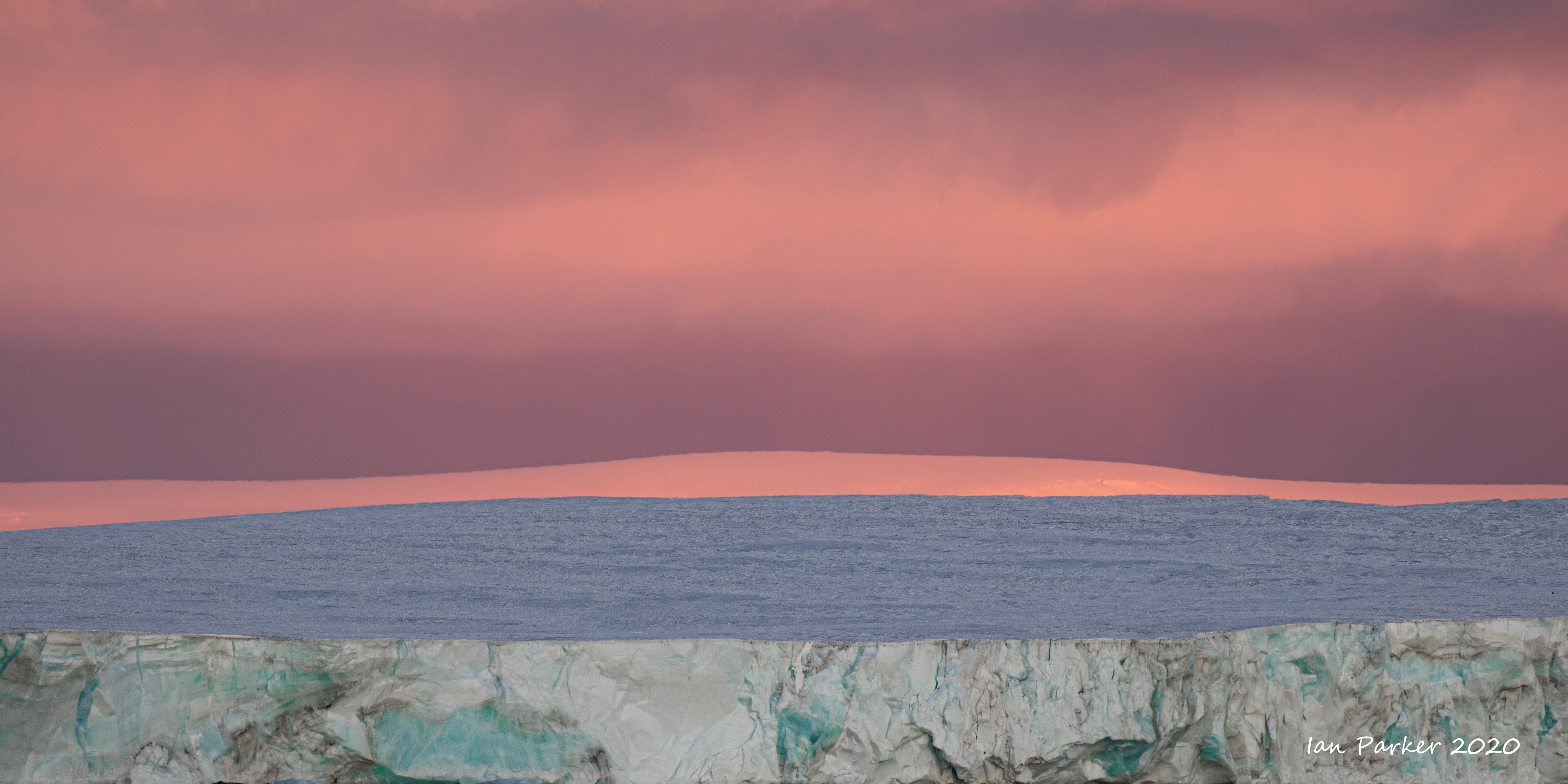
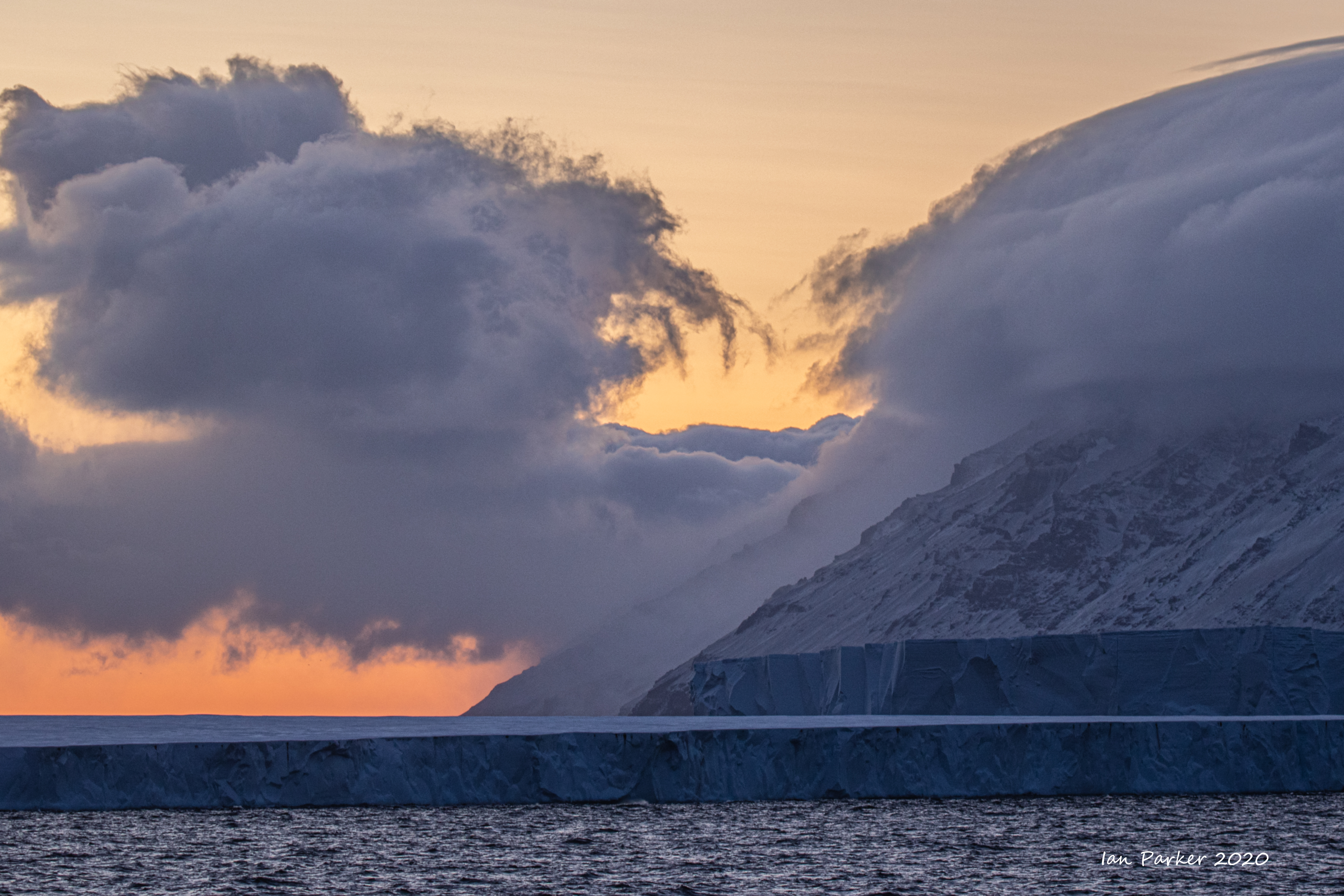
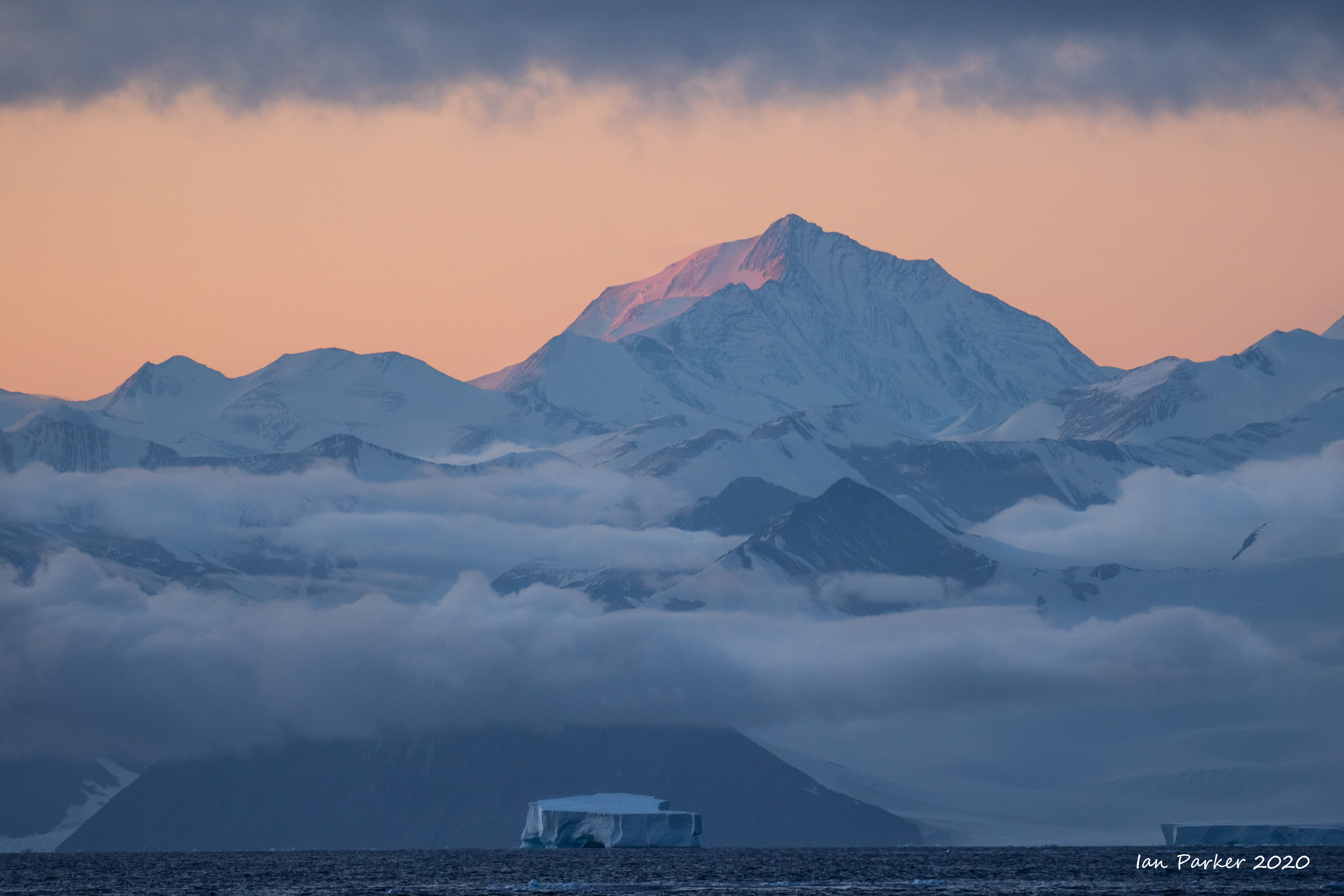
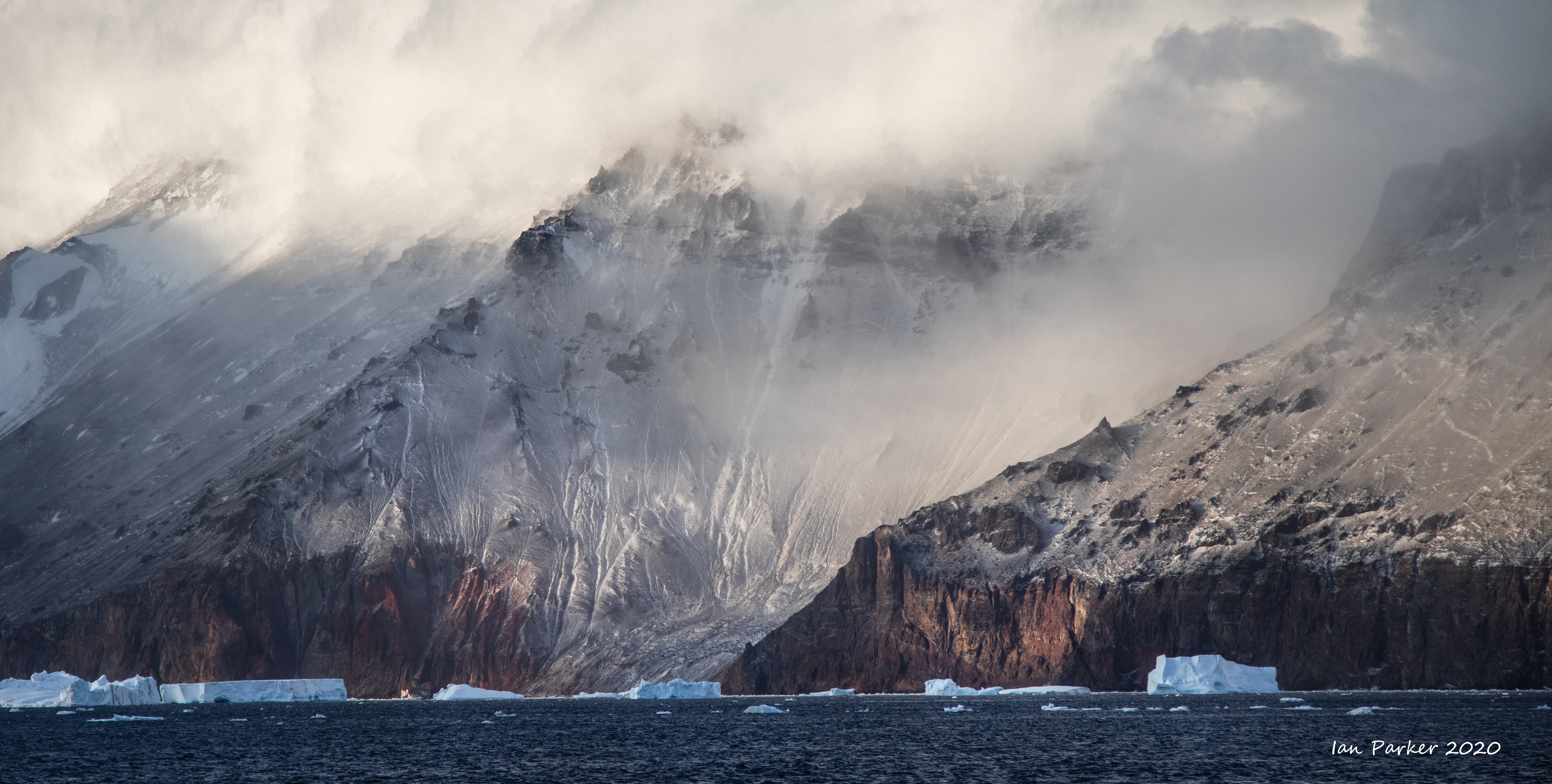
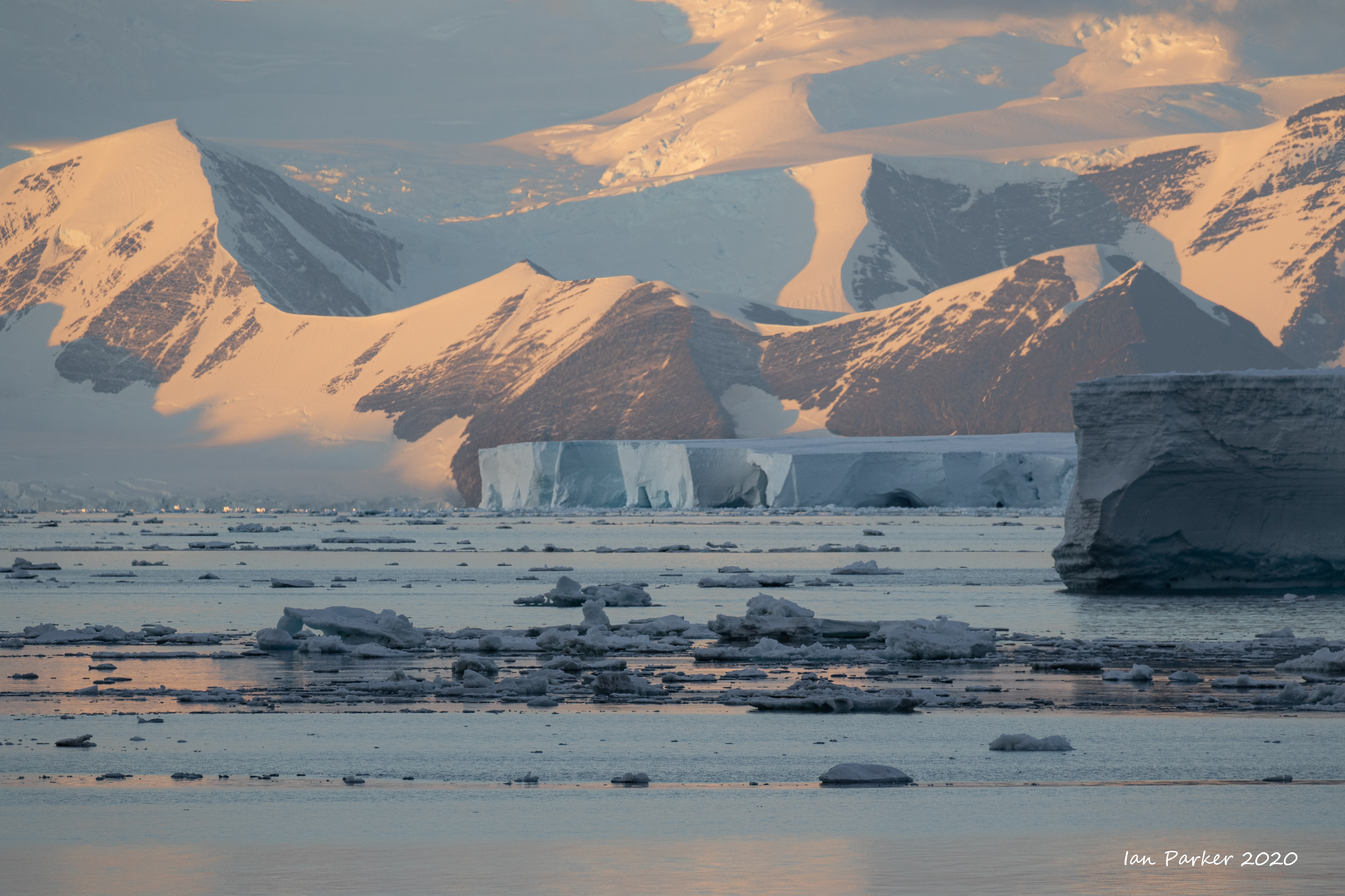
Ross Sea : Land, Sea and Icescapes |
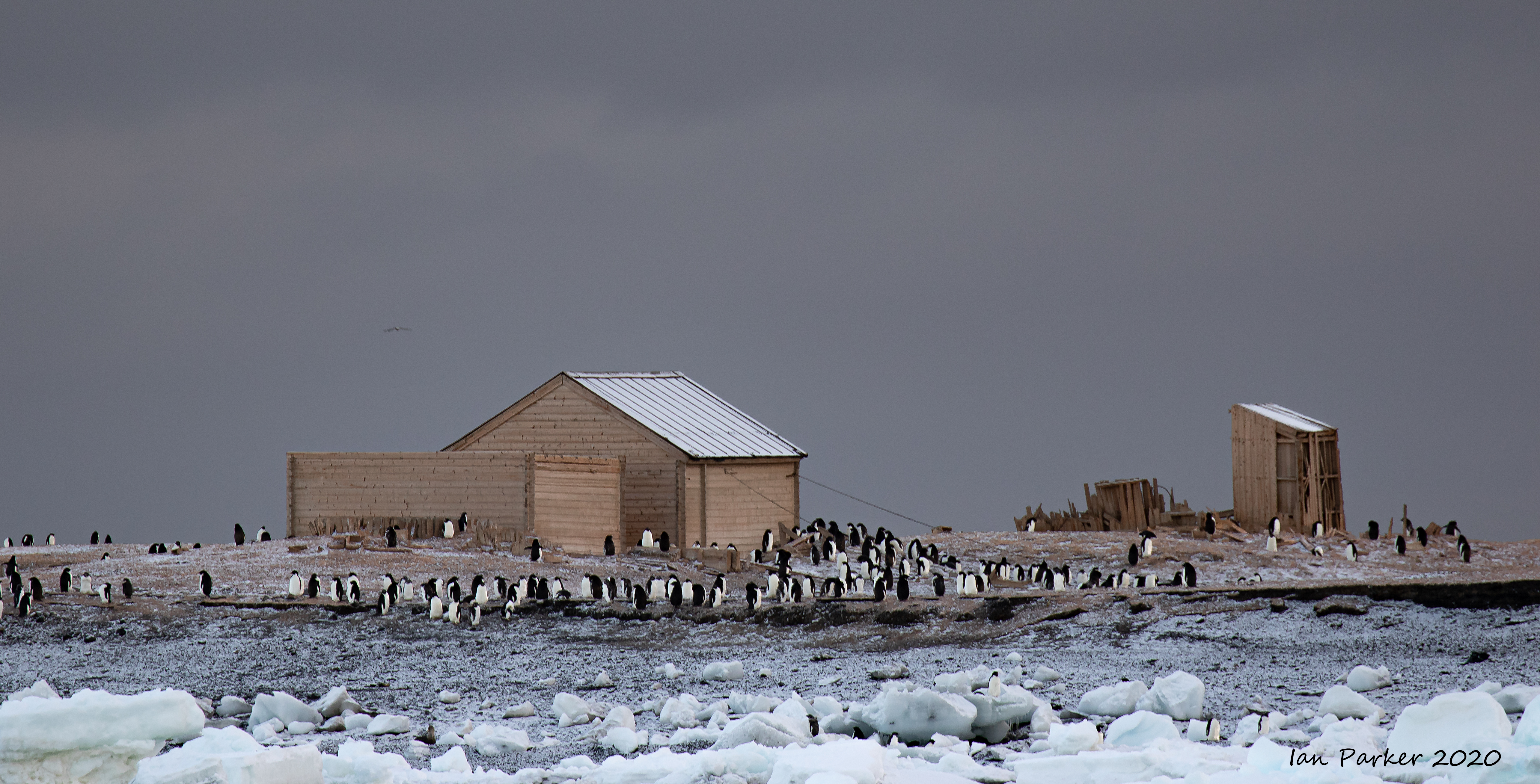
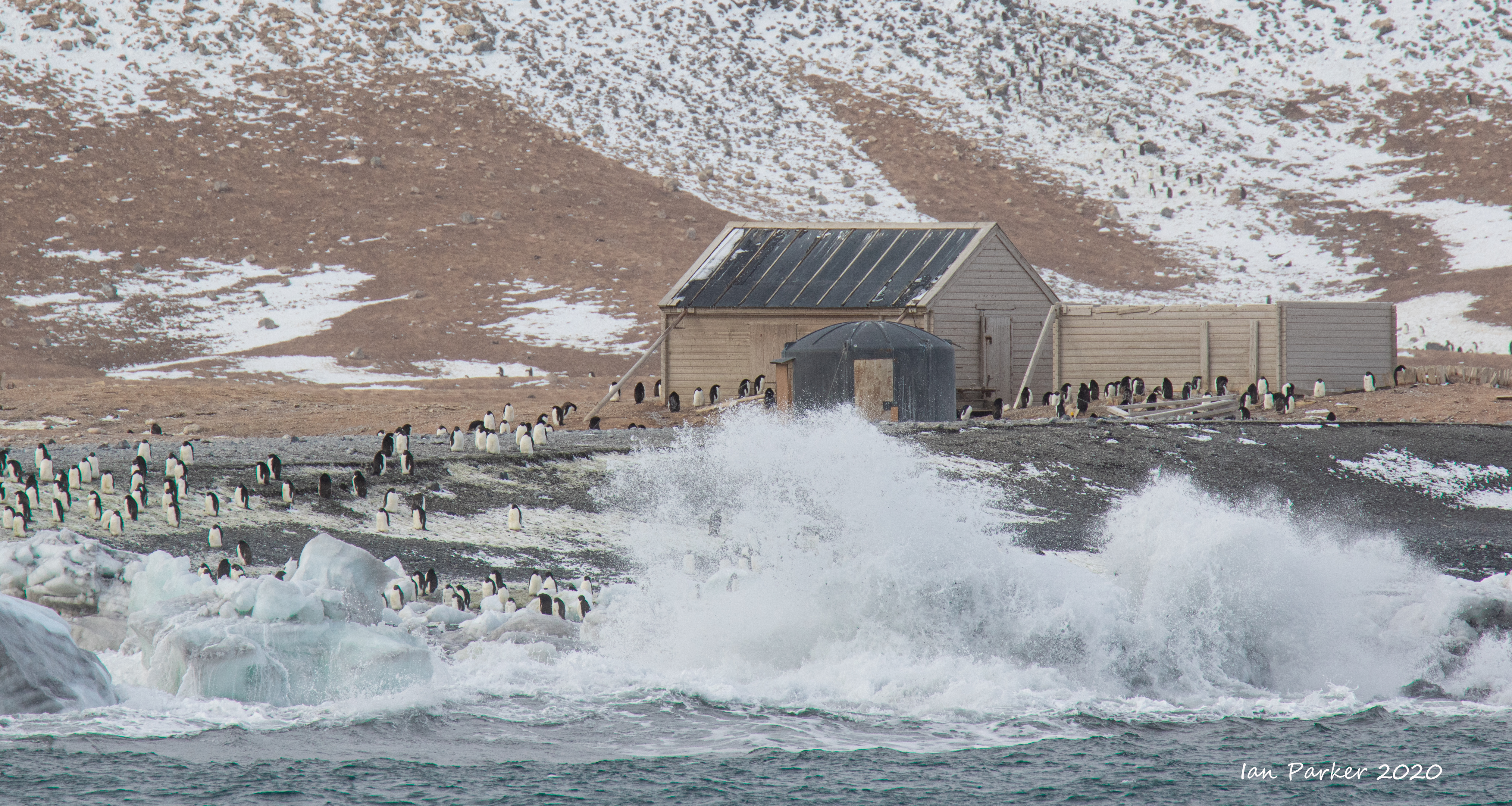
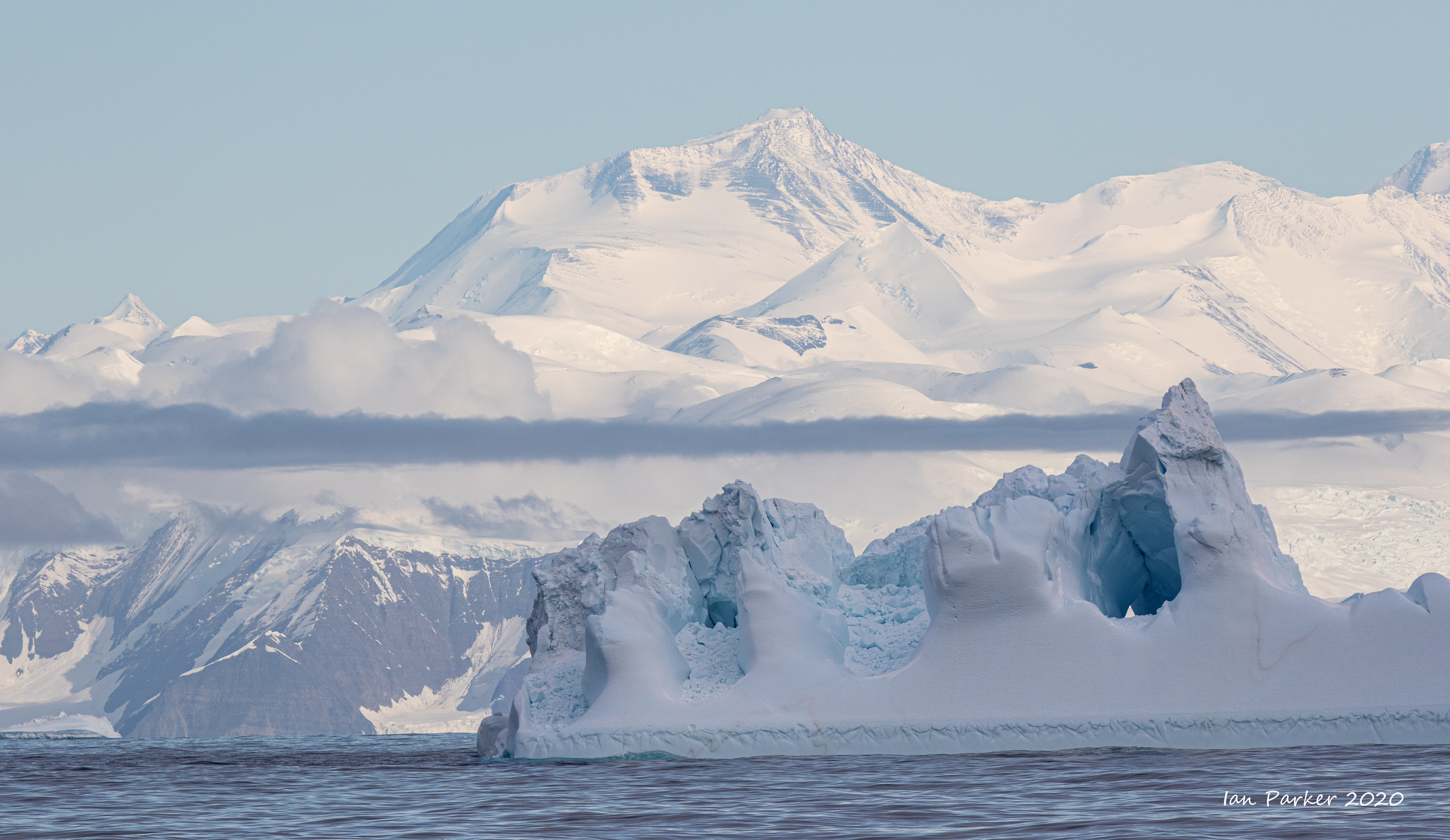
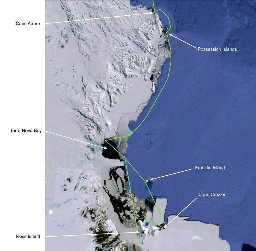
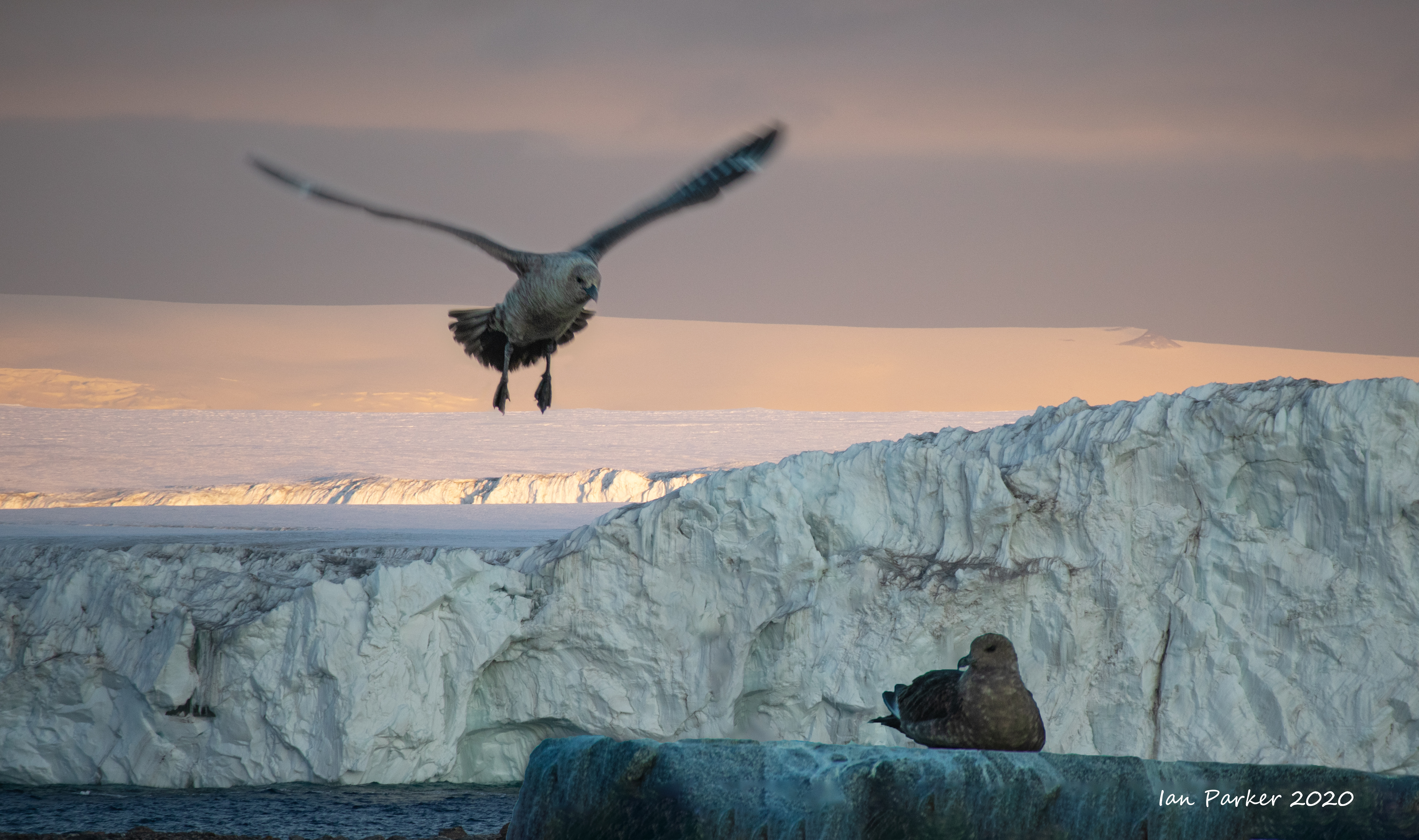
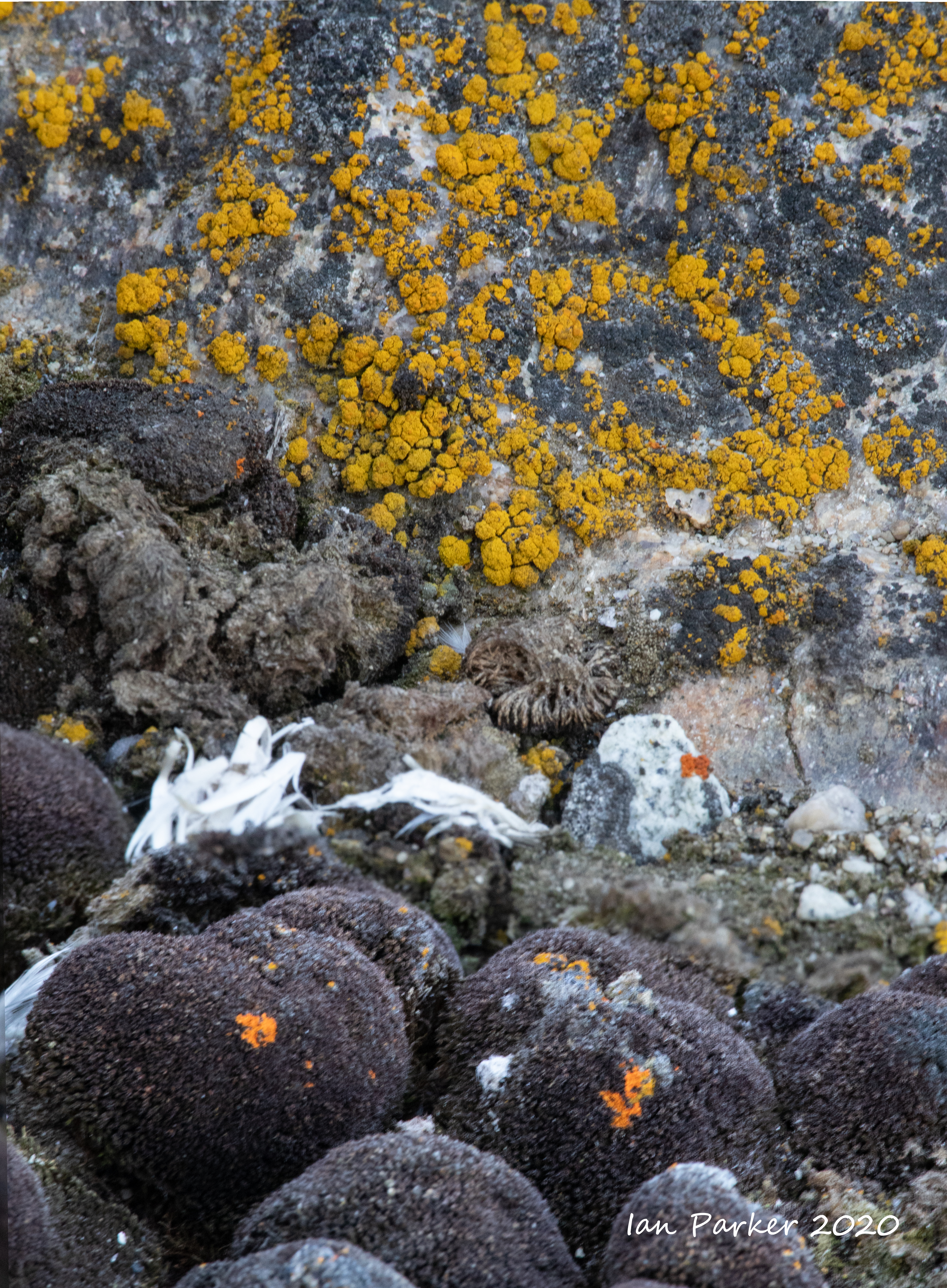
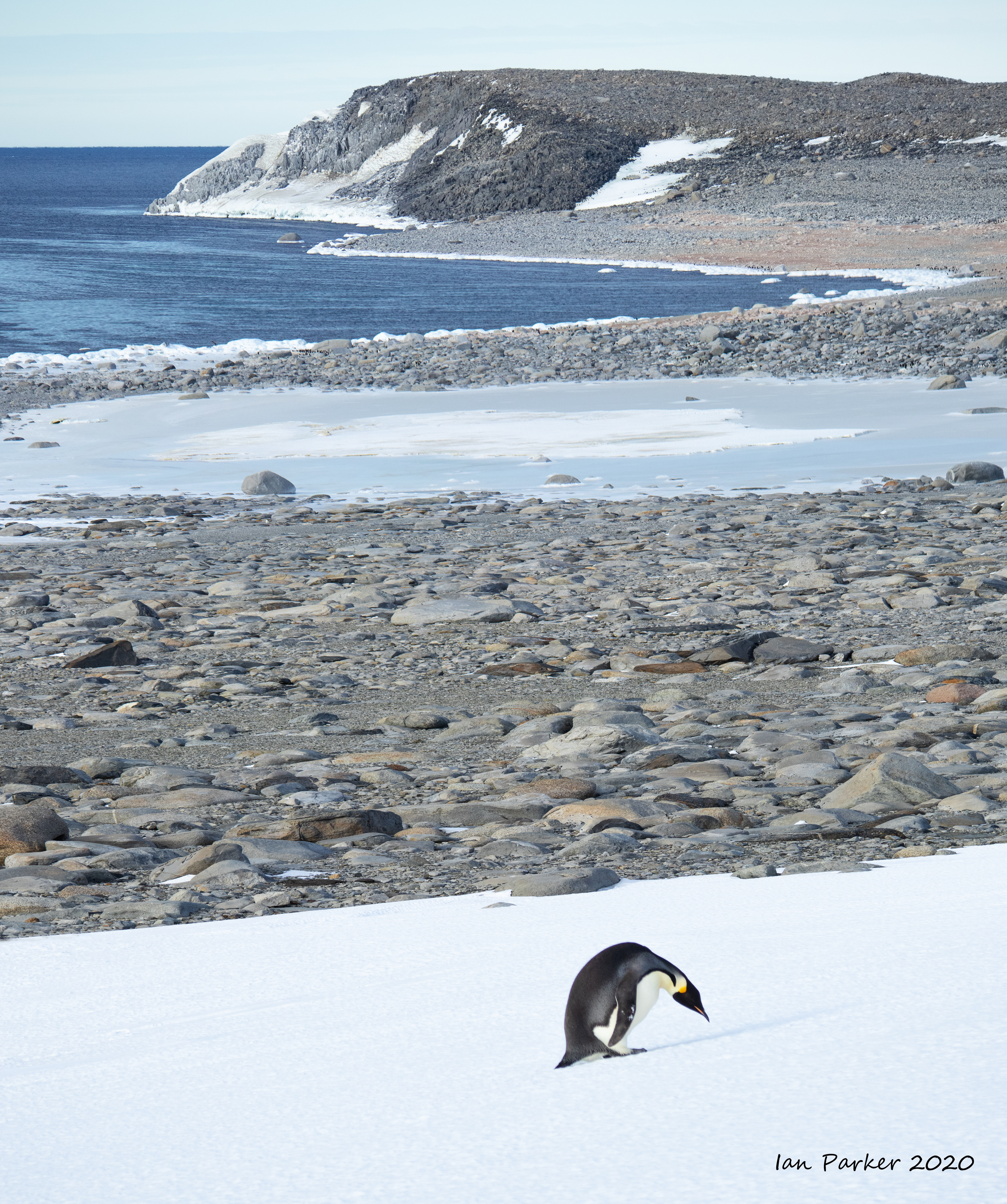
Cape Adare
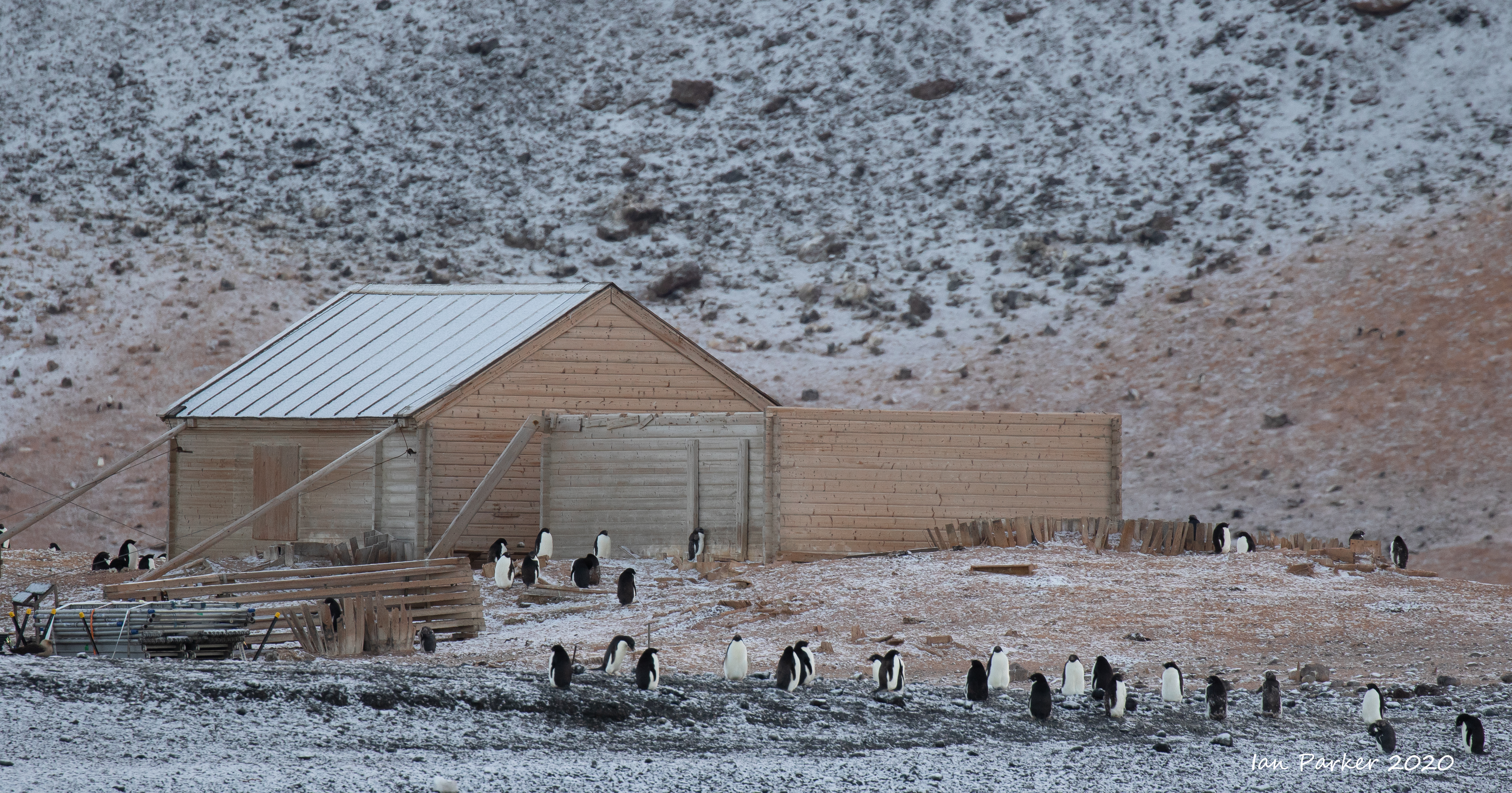
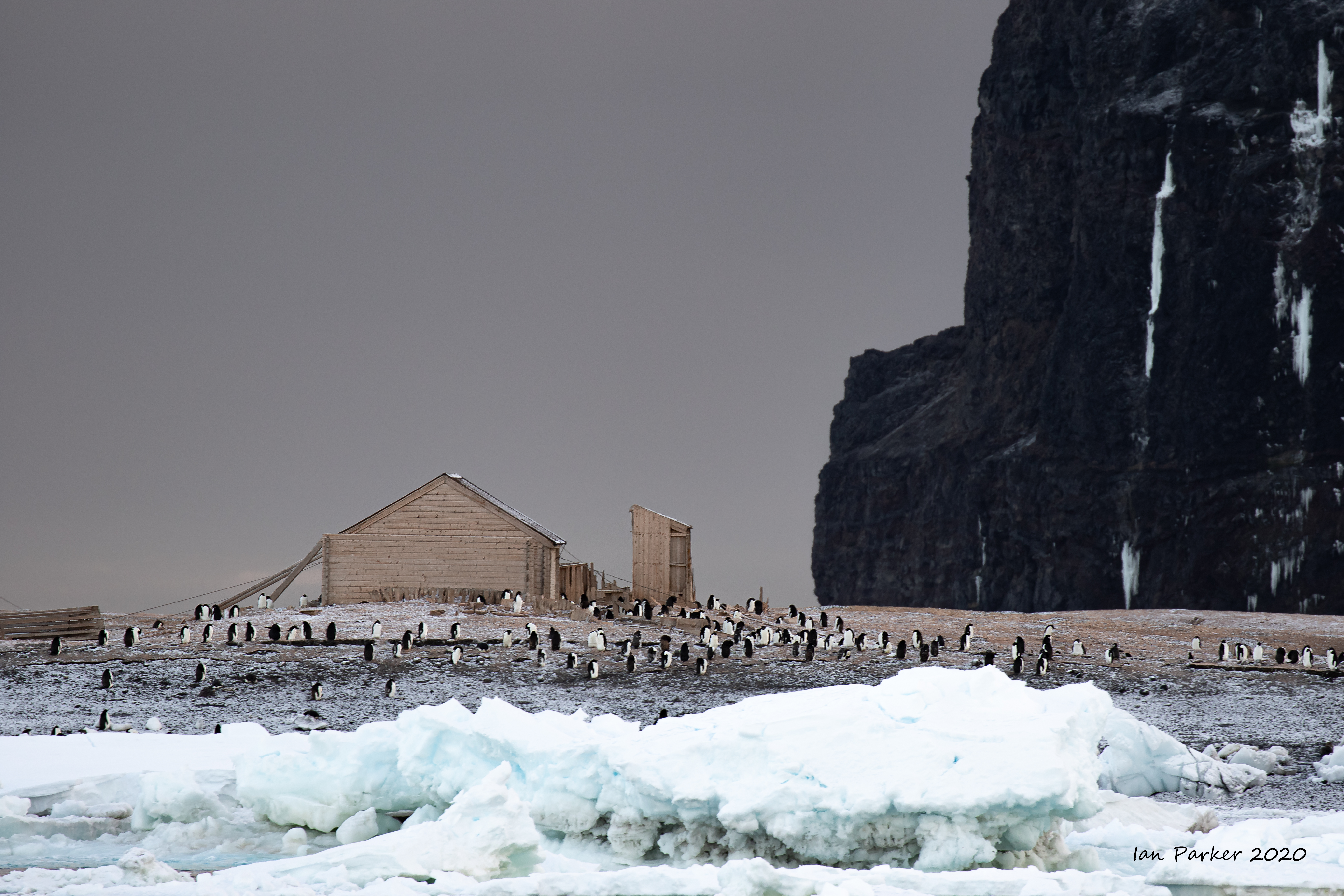
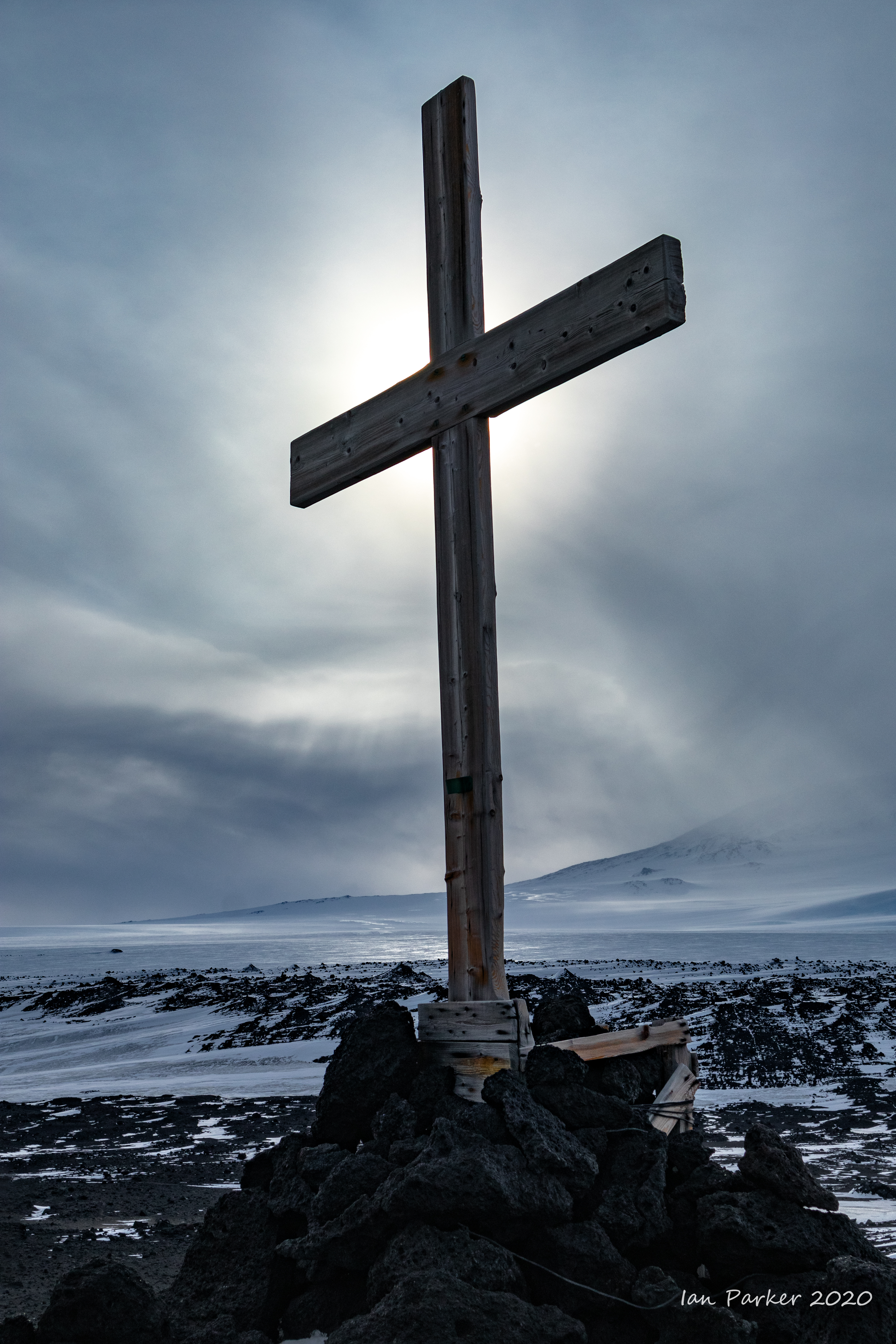
Captain James Ross discovered Cape Adare in January 1841 and named it after his friend the Viscount Adare (the title is derived from Adare, Ireland). In January 1895, Norwegian explorers Henrik Bull and Carsten Borchgrevink from the ship Antarctic landed at Cape Adare as the first documented landing on Antarctica, collecting geological specimens. Borchgrevink returned to the cape leading his own expedition in 1899 and erected two huts, the first human structures built in Antarctica. The expedition members overwintered and the survivors were picked up in January 1900. This was the first expedition party ever to winter over on the Antarctic continent. Zoologist Nicolai Hanson died during the winter and was buried at Cape Adare. [Wikipedia]
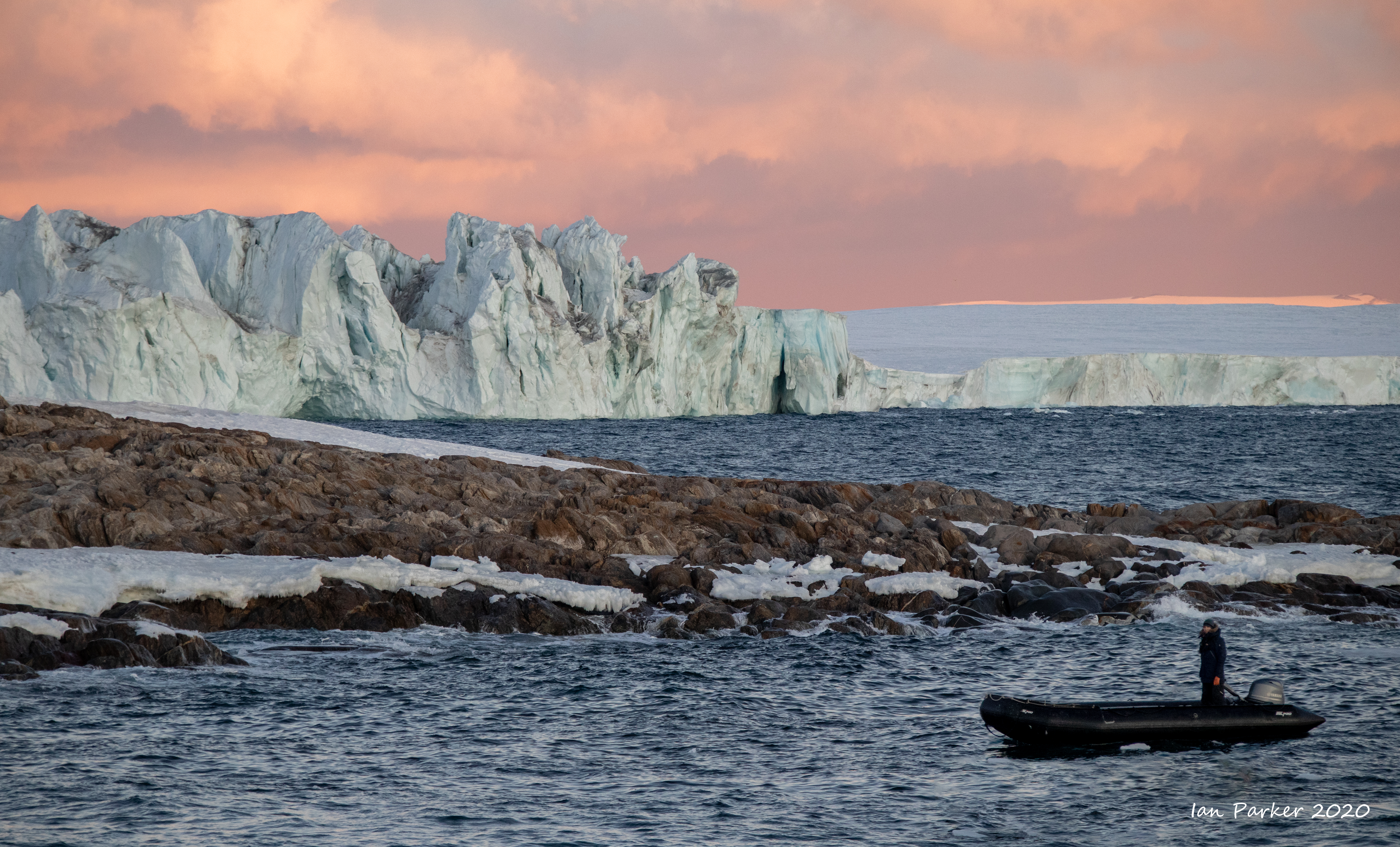
Borchgrevink built his hut amongst the largest Adélie penguin colony in Antarctica, though at the time of our visit most penguins had gone back out to sea. Dense ice around the beaches precluded a landing to visit the hut, but we had hopes this may have cleared when we passed by Cape Adare again on our way back north.
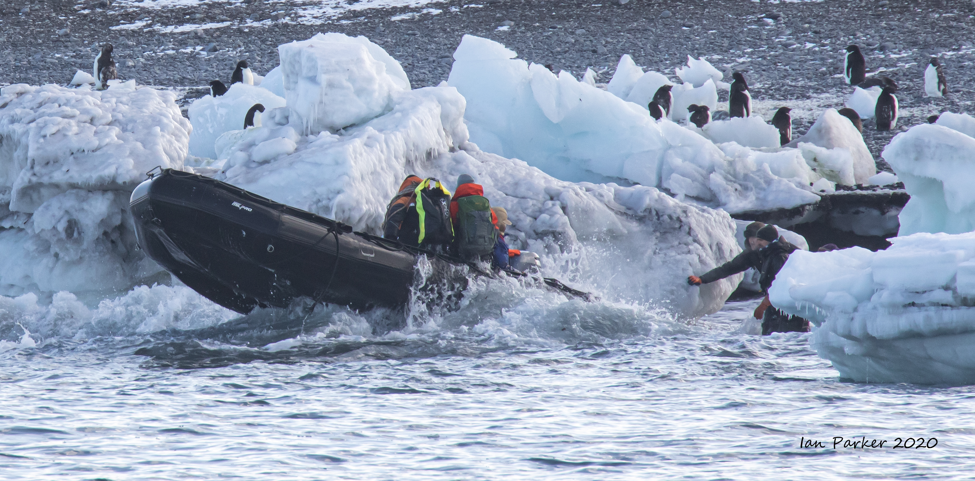
We had hoped for a landing to visit Borchgrevink’s
hut, but the shoreline was ringed by massive ice blocks with a heavy swell breaking. The first four passengers in line for a Zodiac did make a (brief) visit to the hut, landing precariously in a tiny 'harbor' between the ice. We were next in line, but but after a near swamping of the Zodiac all attempts were called off and the crew onshore rapidly shuttled back to the ship.
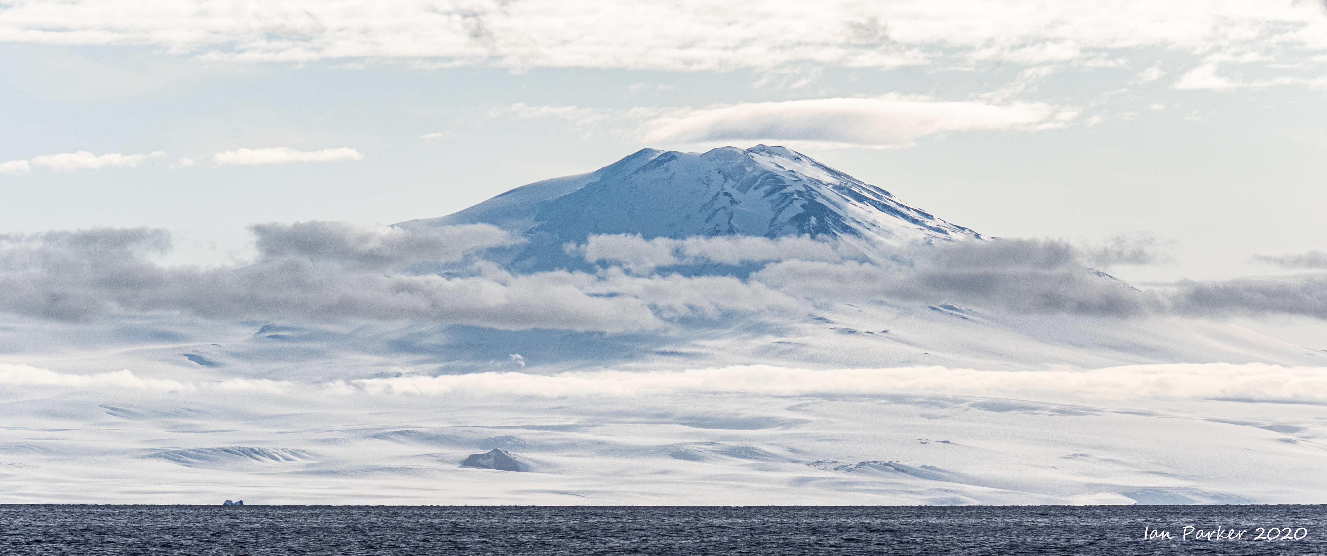
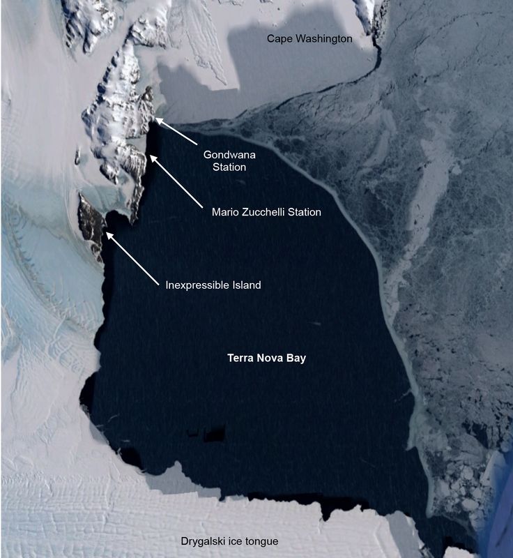
Terra Nova Bay
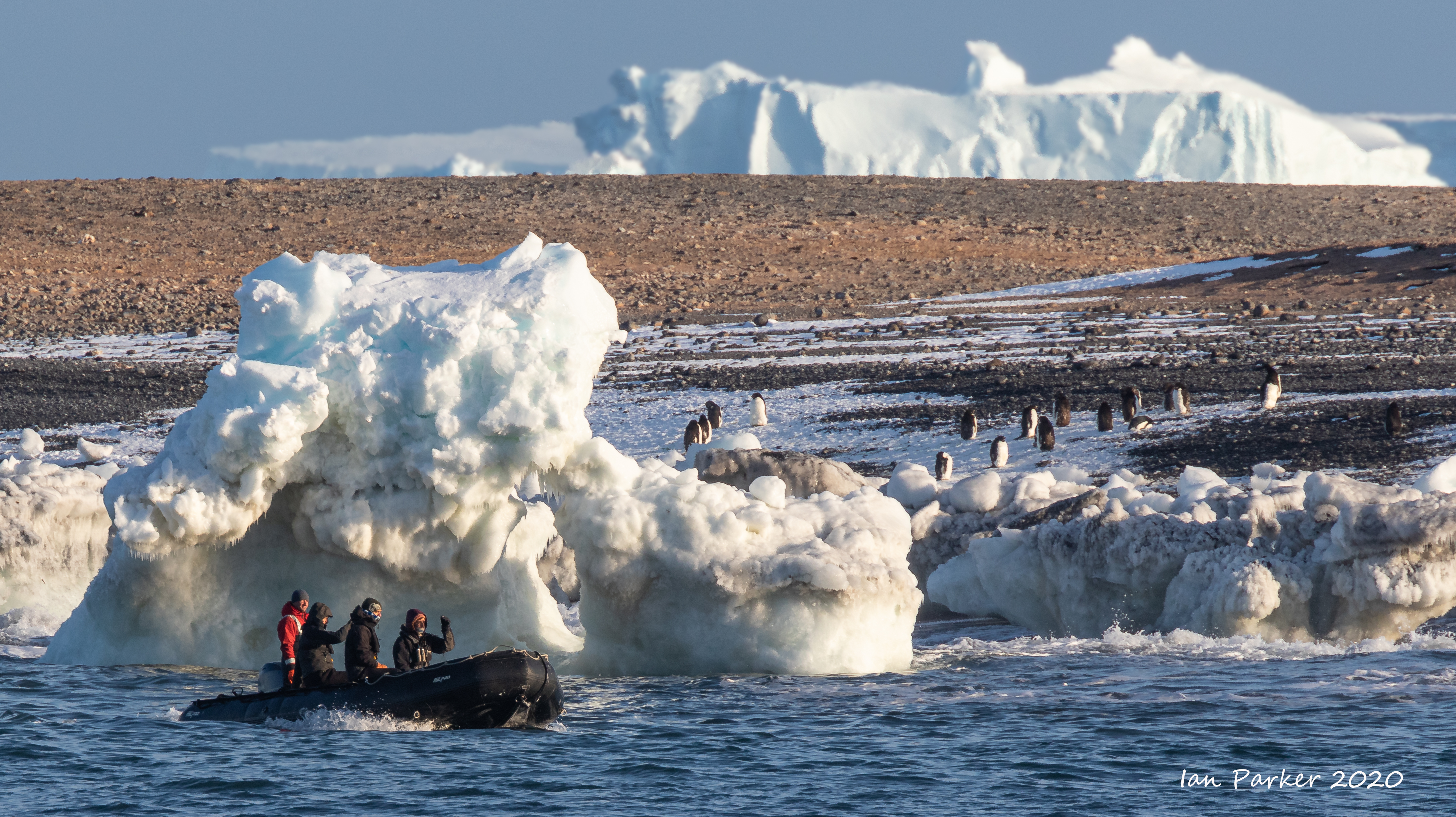
Two days sailing from Cape Adair through a rough Ross Sea brought us to Terra Nova Bay, discovered by Captain Scott on his first polar expedition and named by him after one of the relief ships on his expedition.
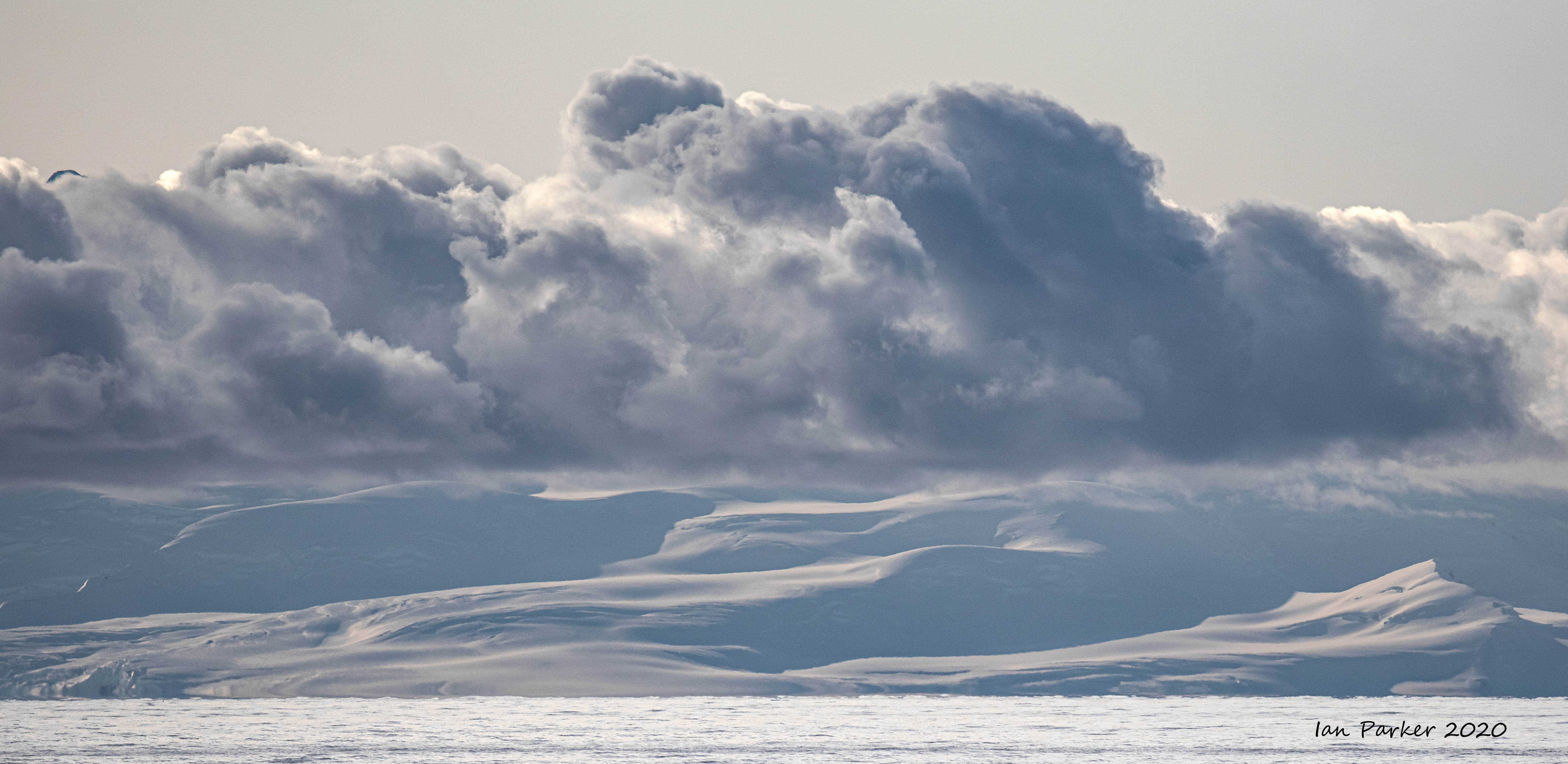
The strong winds we had experienced began to fade in the evening, and we made a landing after dinner. This was the first time we set foot on land after leaving Campbell Island seven days ago. Looking at maps before our voyage I had not appreciated just how vast the Southern Ocean is. . |
|
|
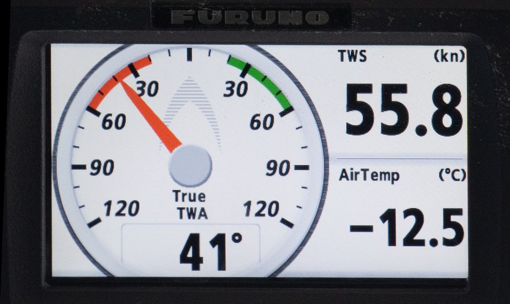
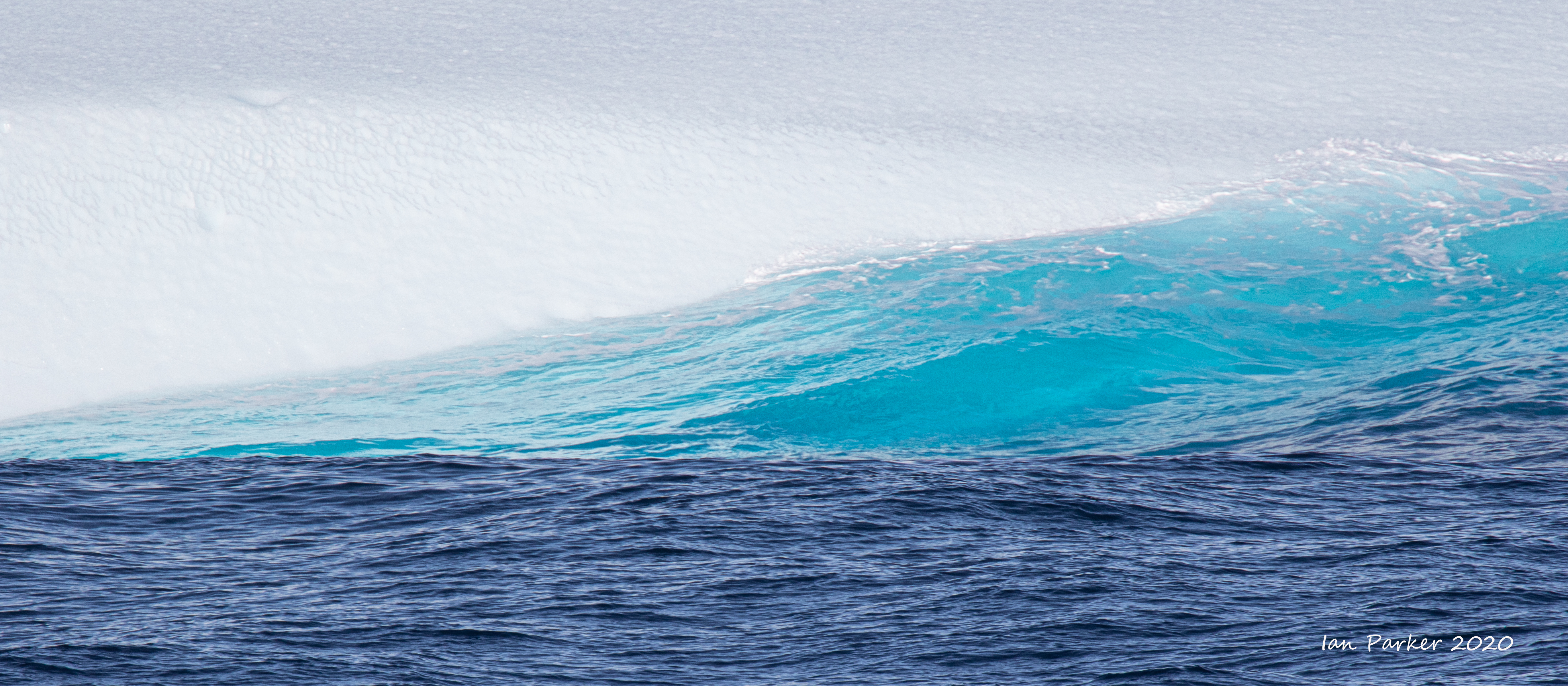
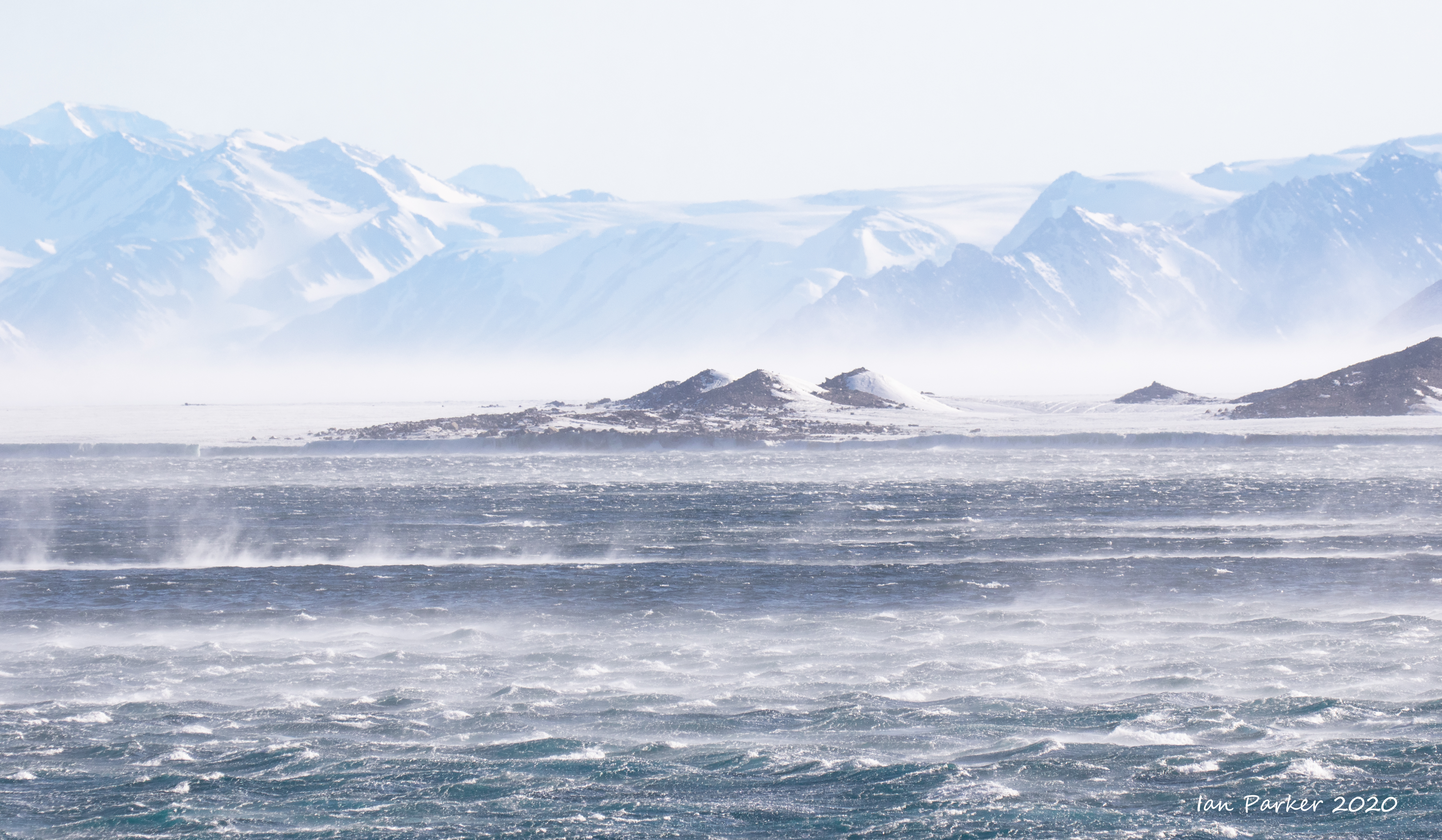
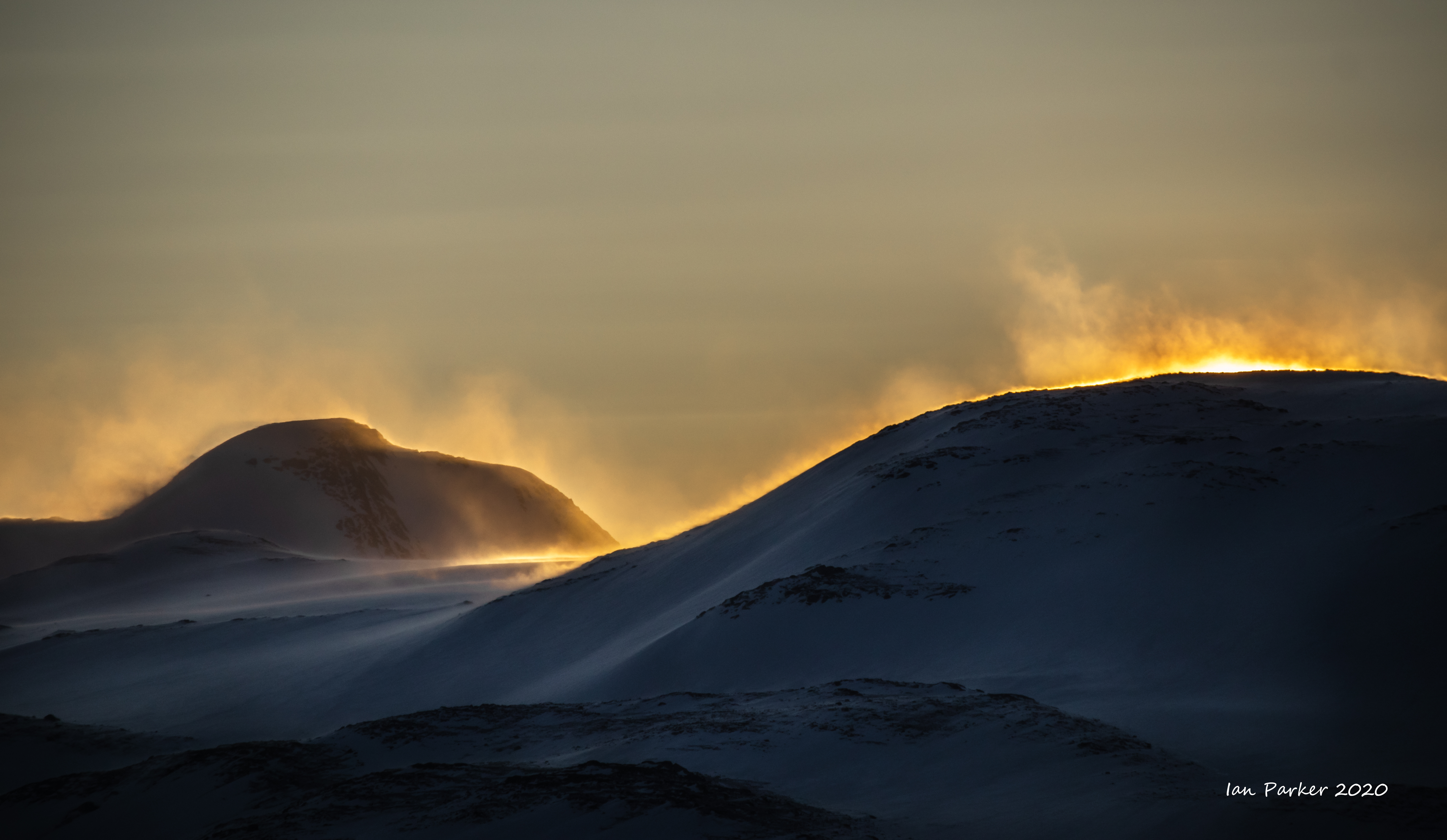
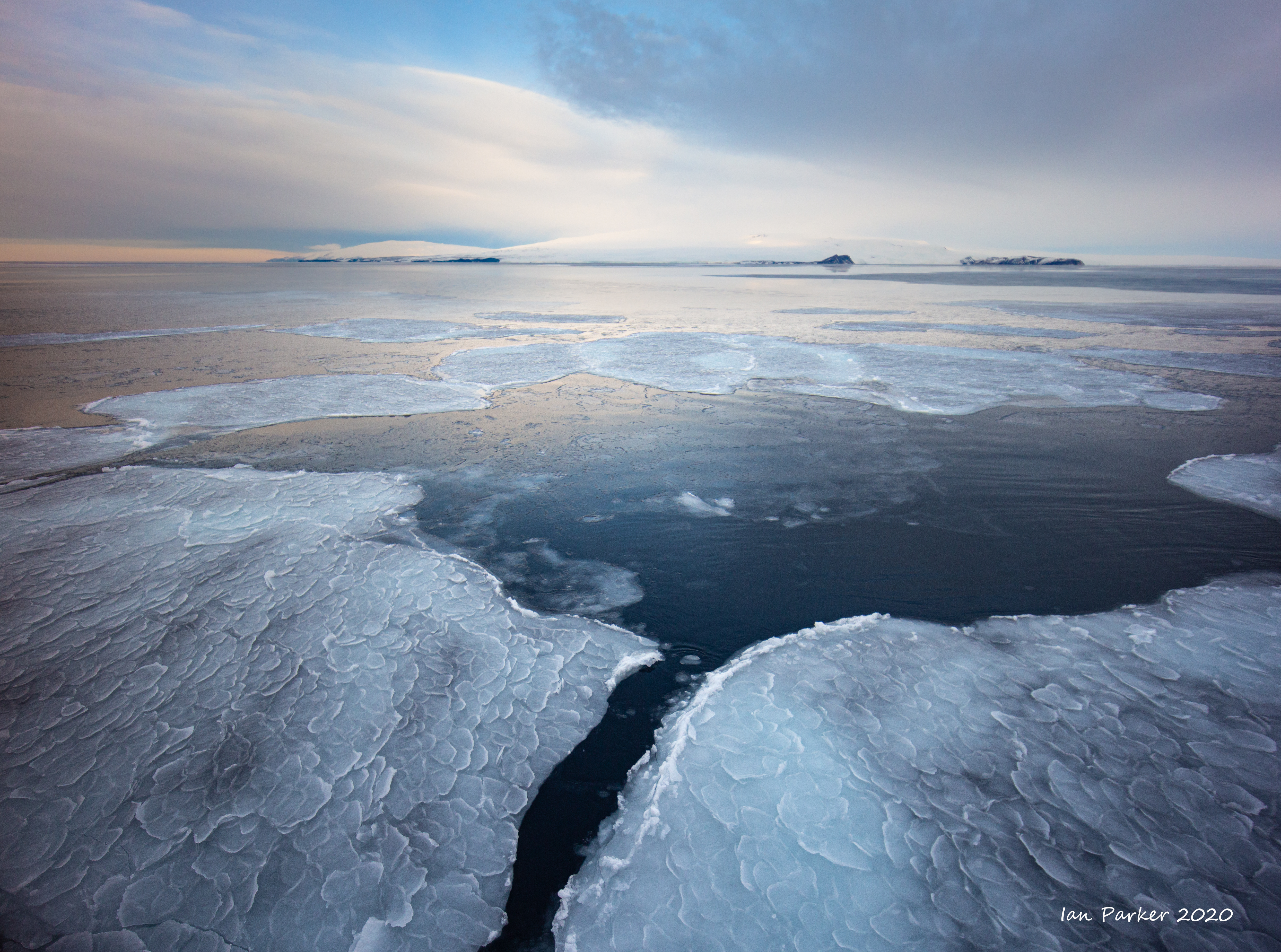
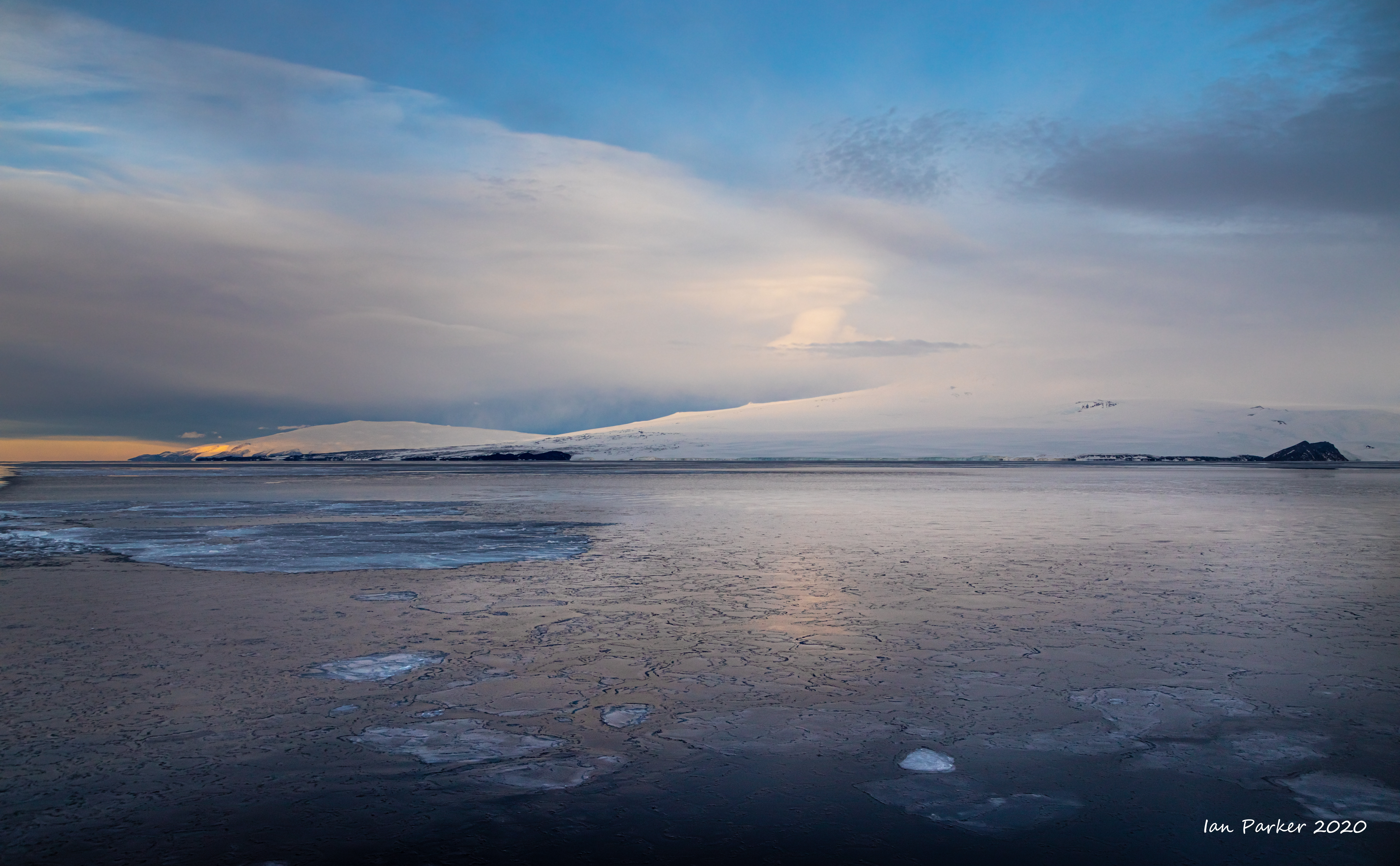
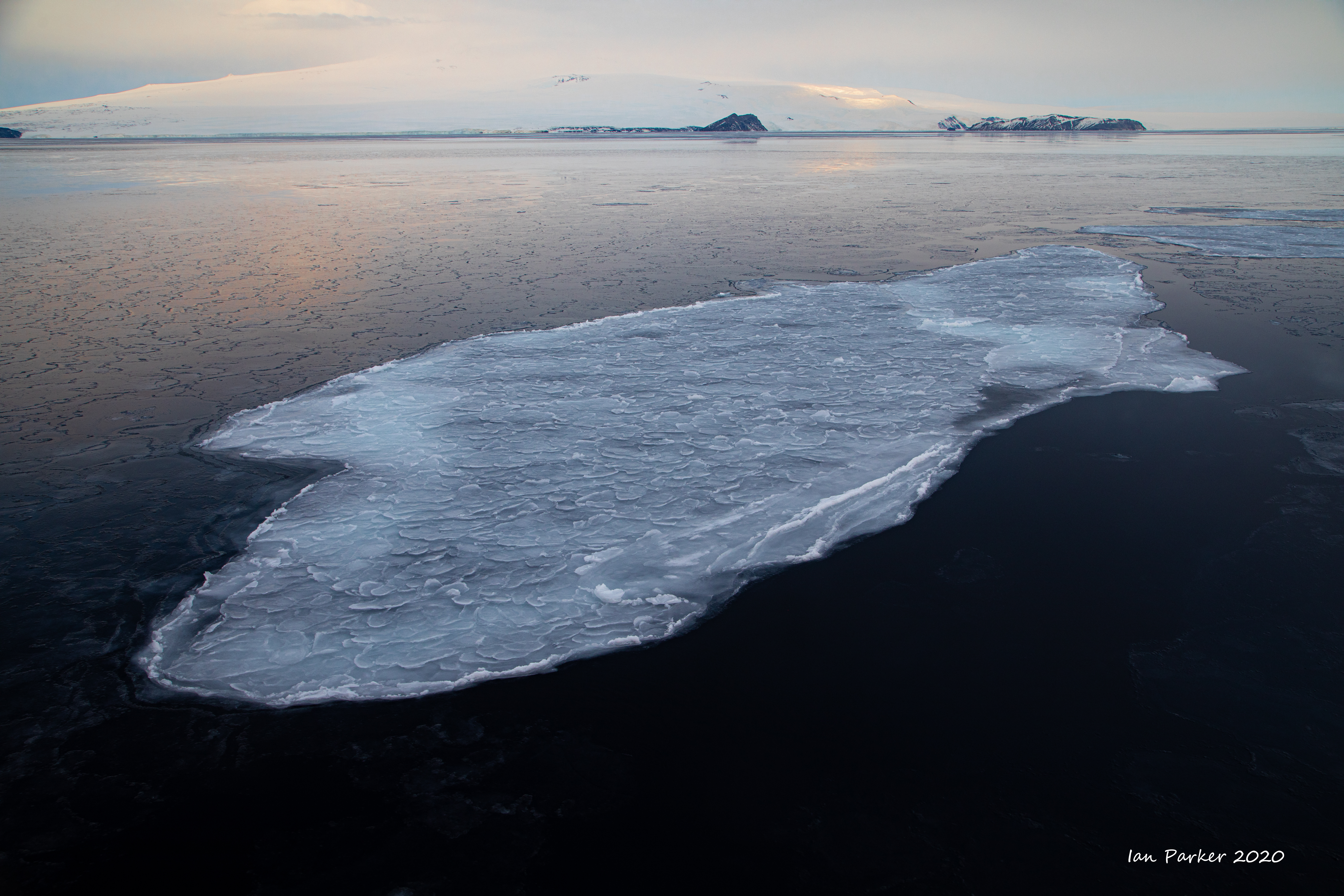
A wild, windy,cold day in the Ross Sea. |
|
|
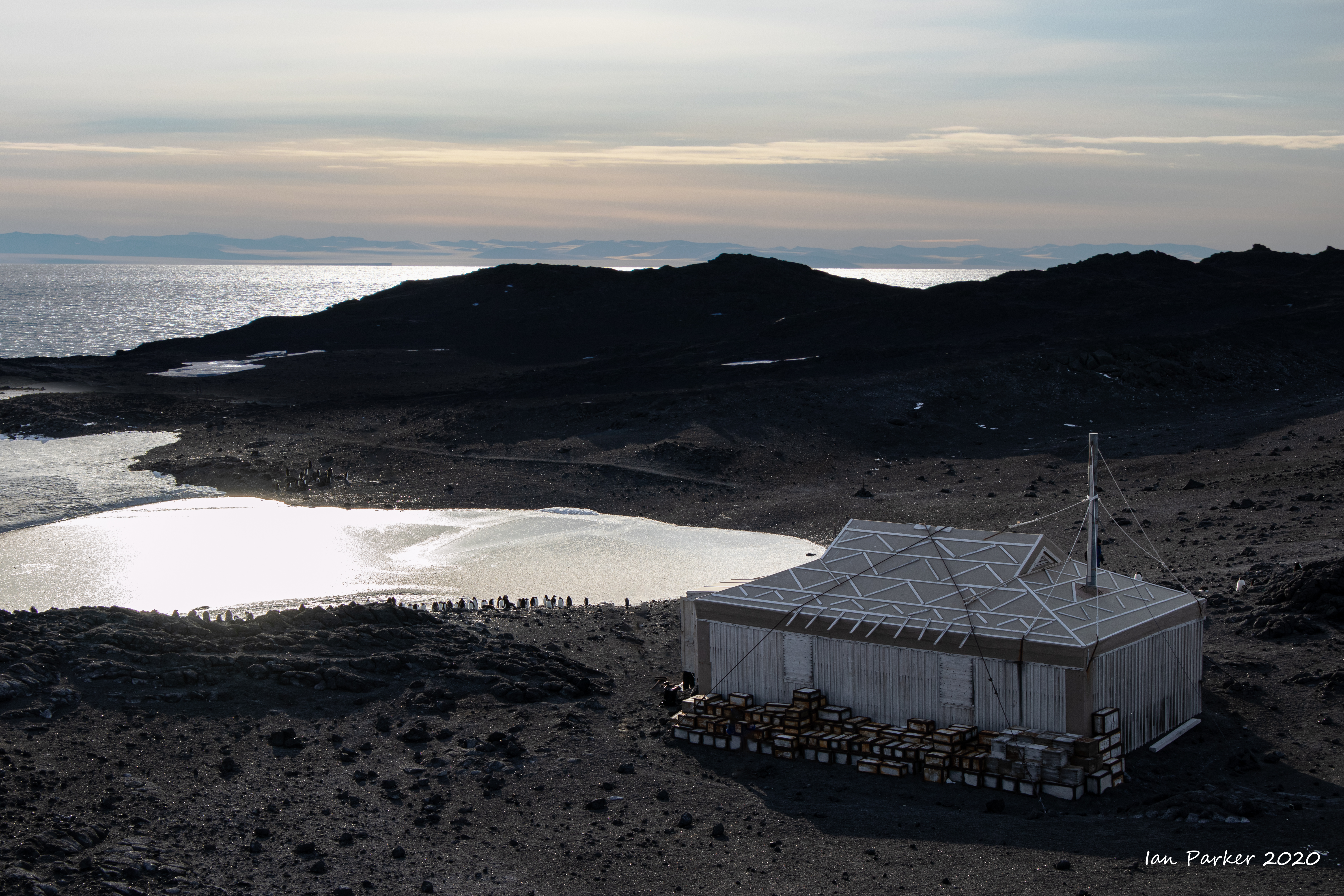
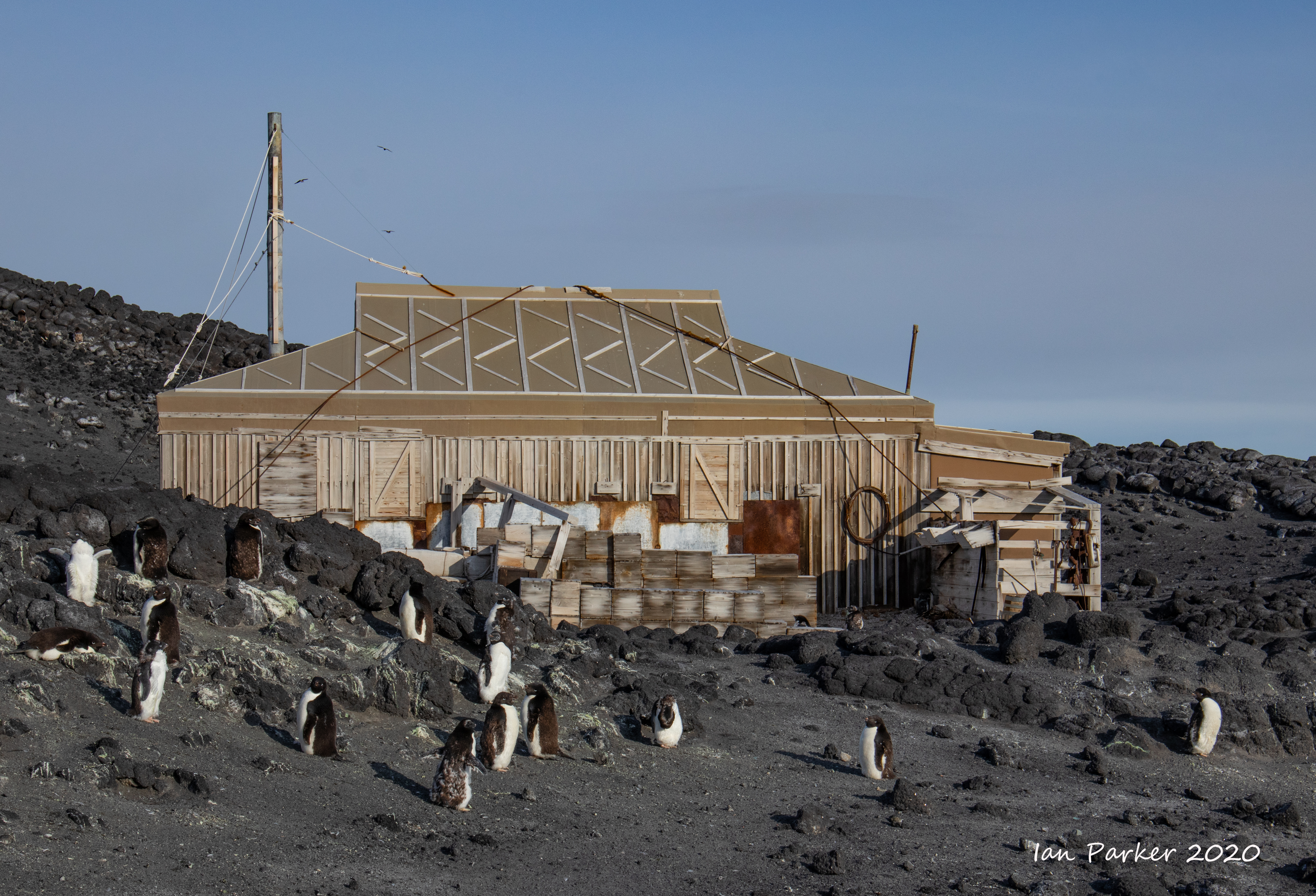
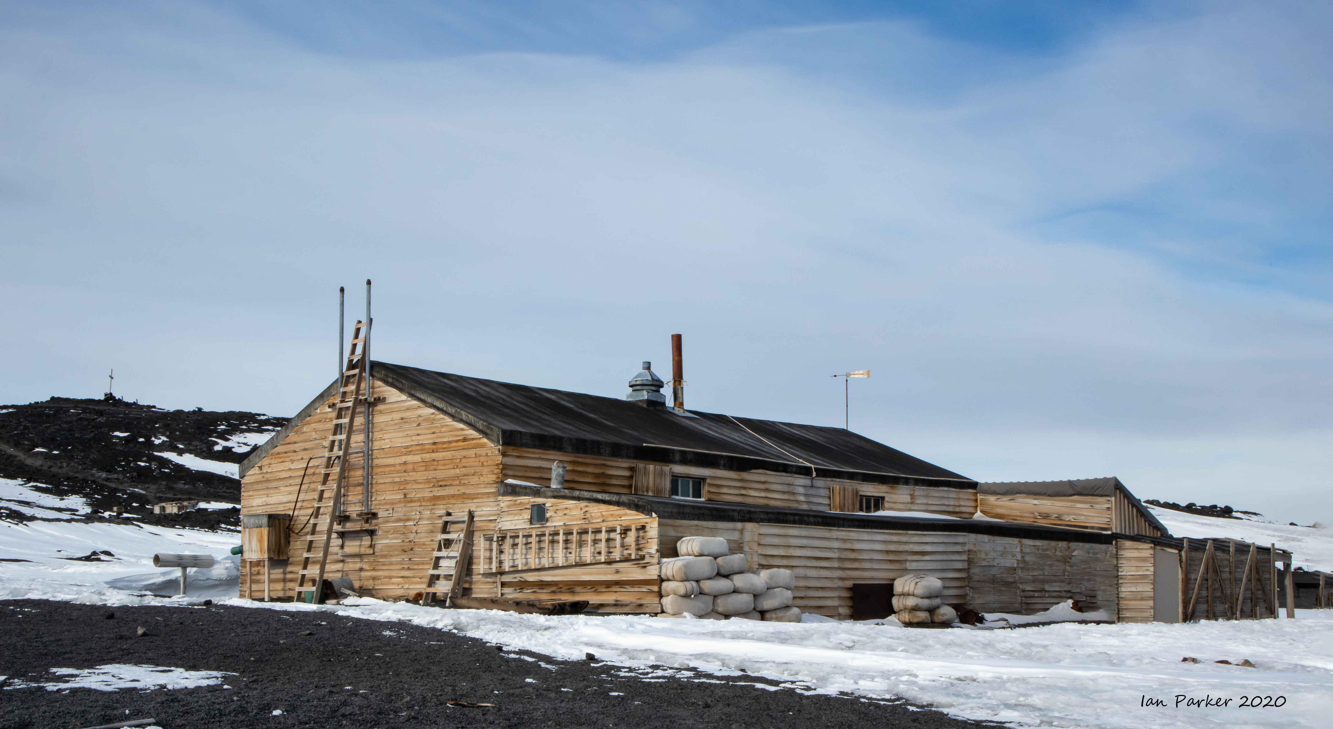
Ernest Shackleton’s Hut at Cape Royds
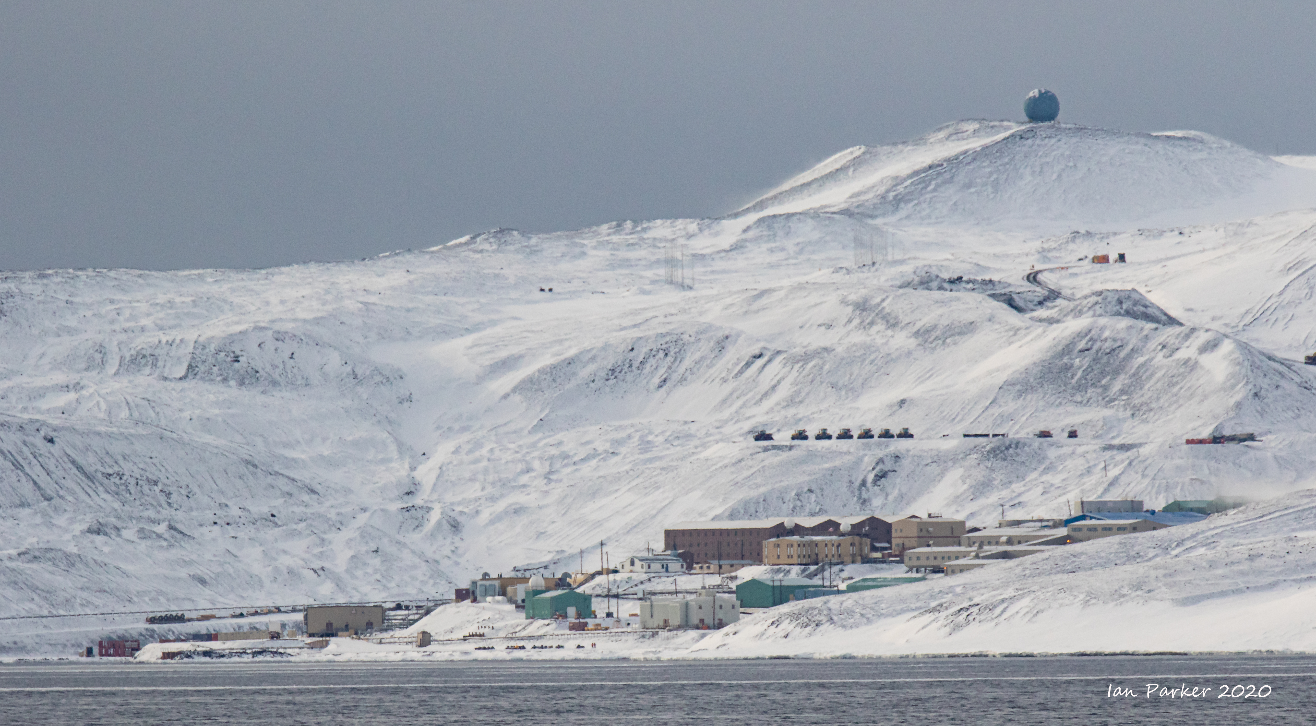
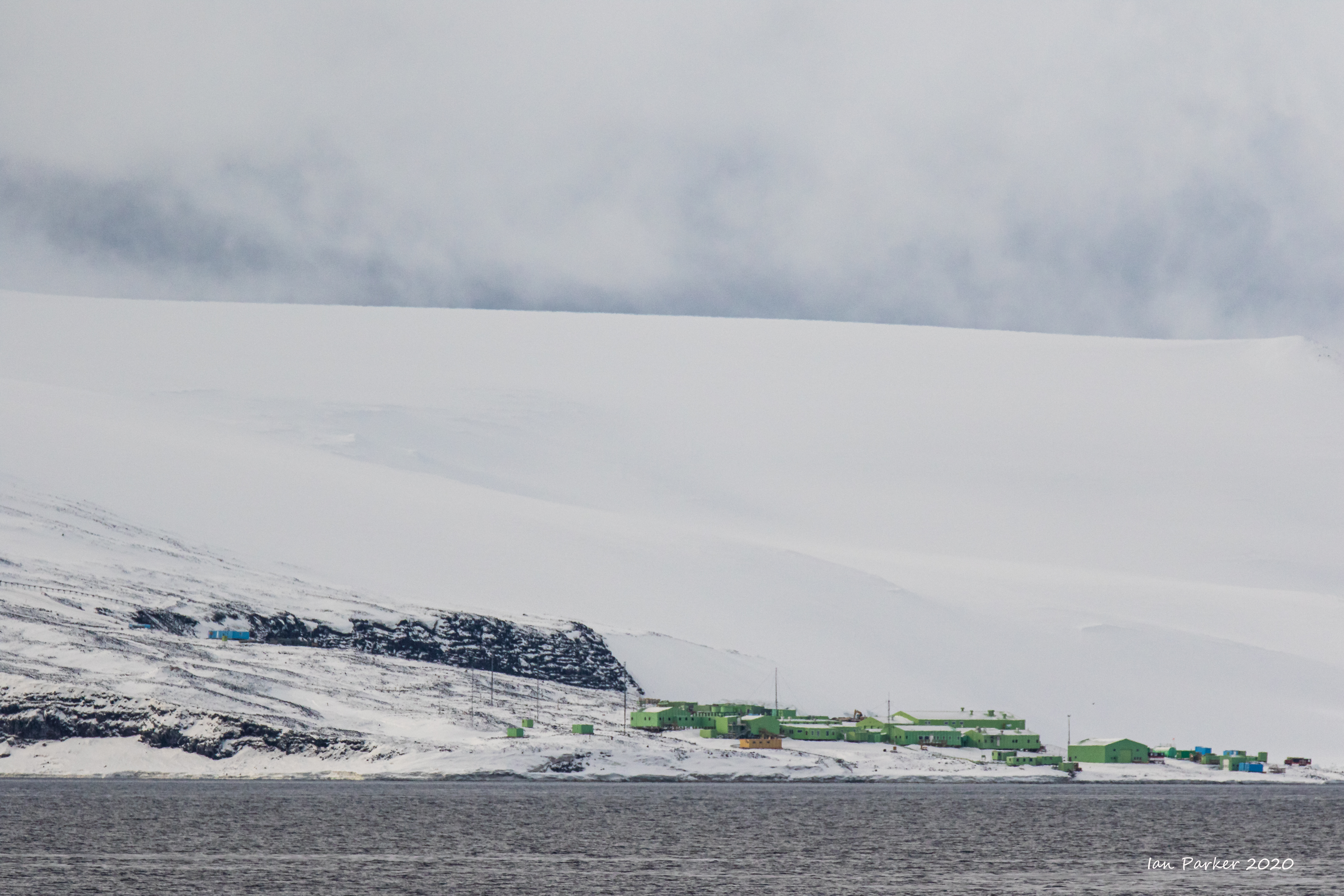
McMurdo Station and Hut Point
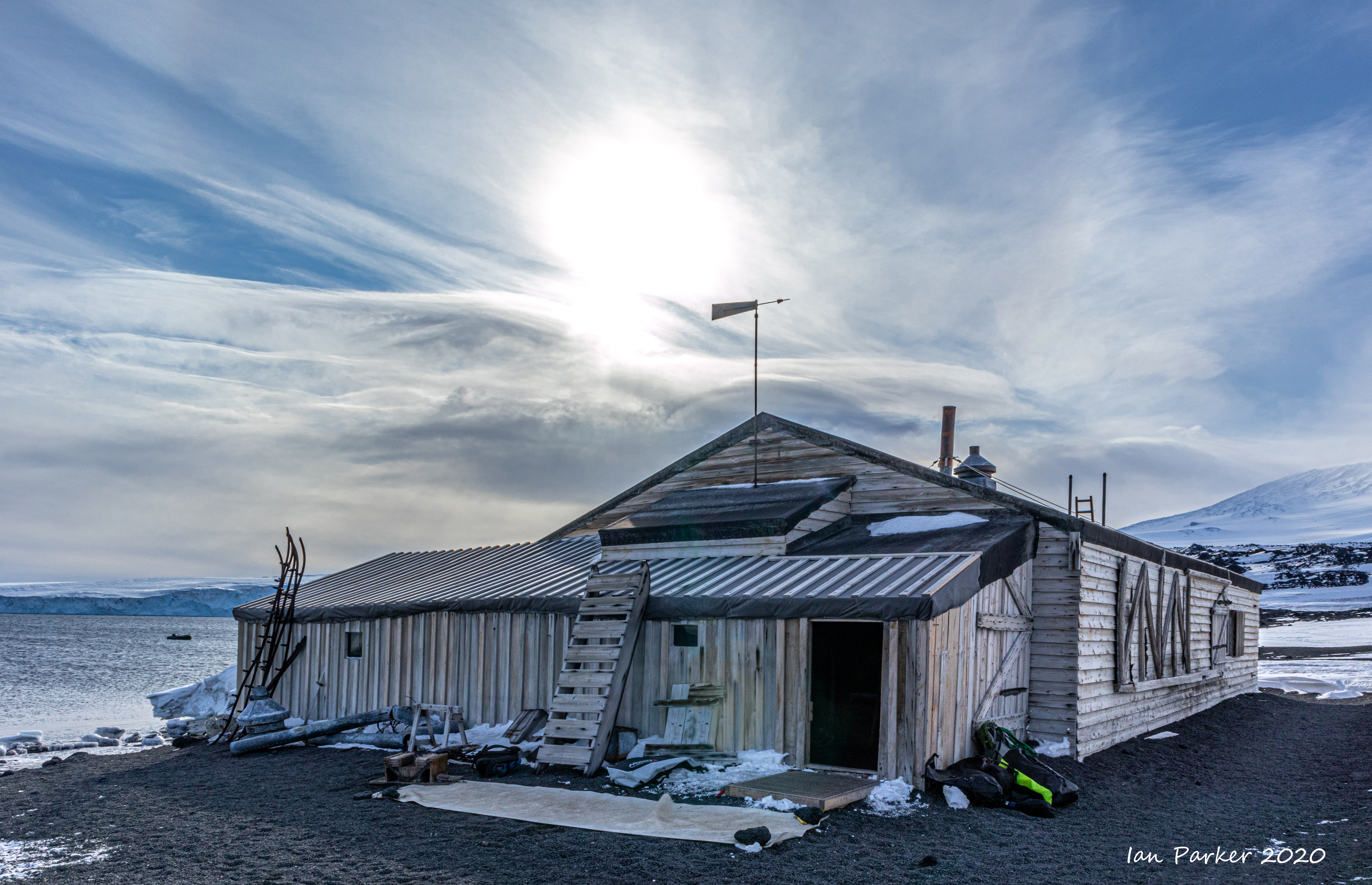
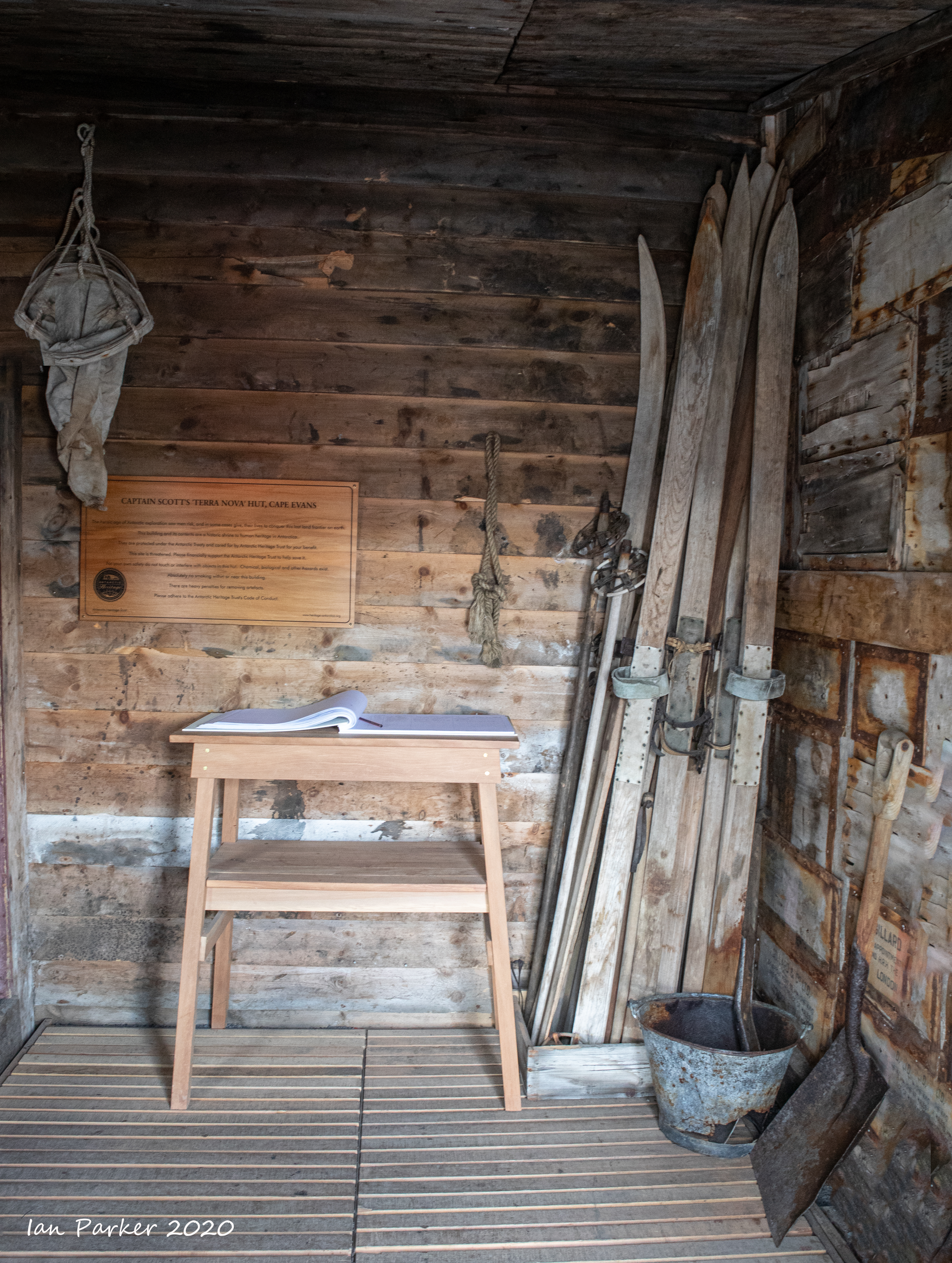
Scott's Hut at Cape Evans
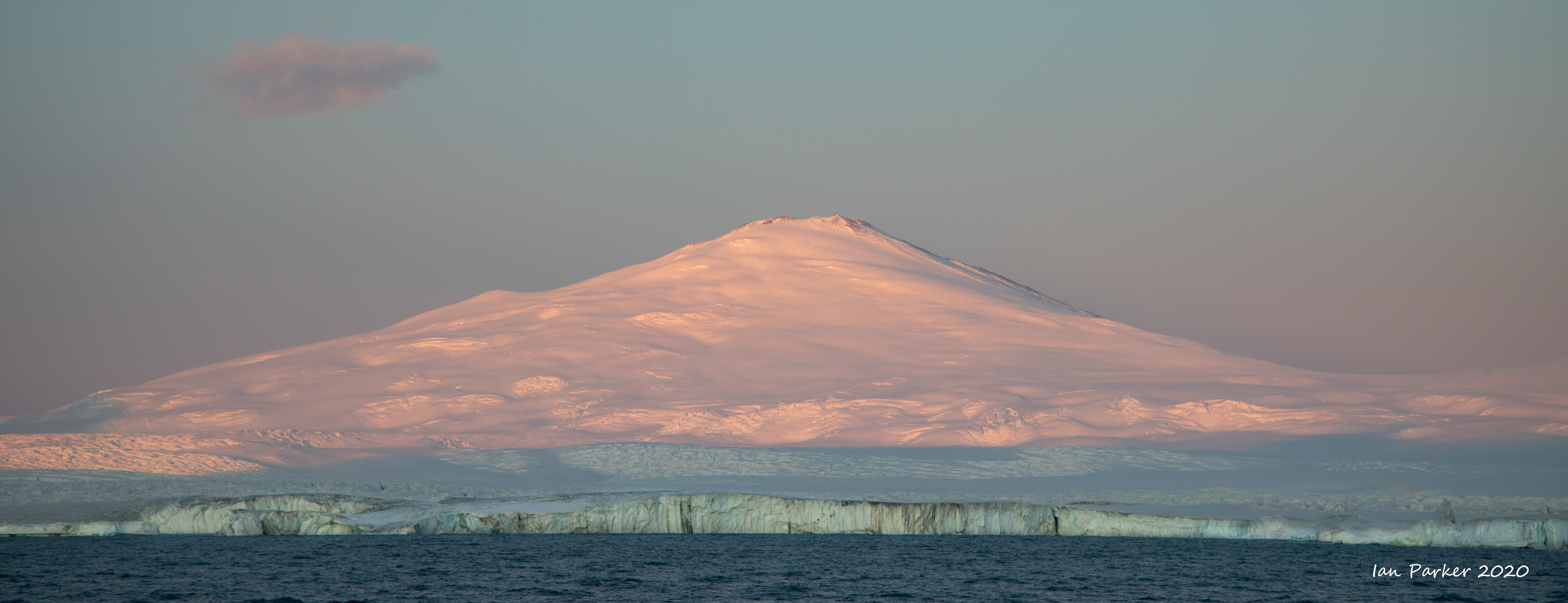
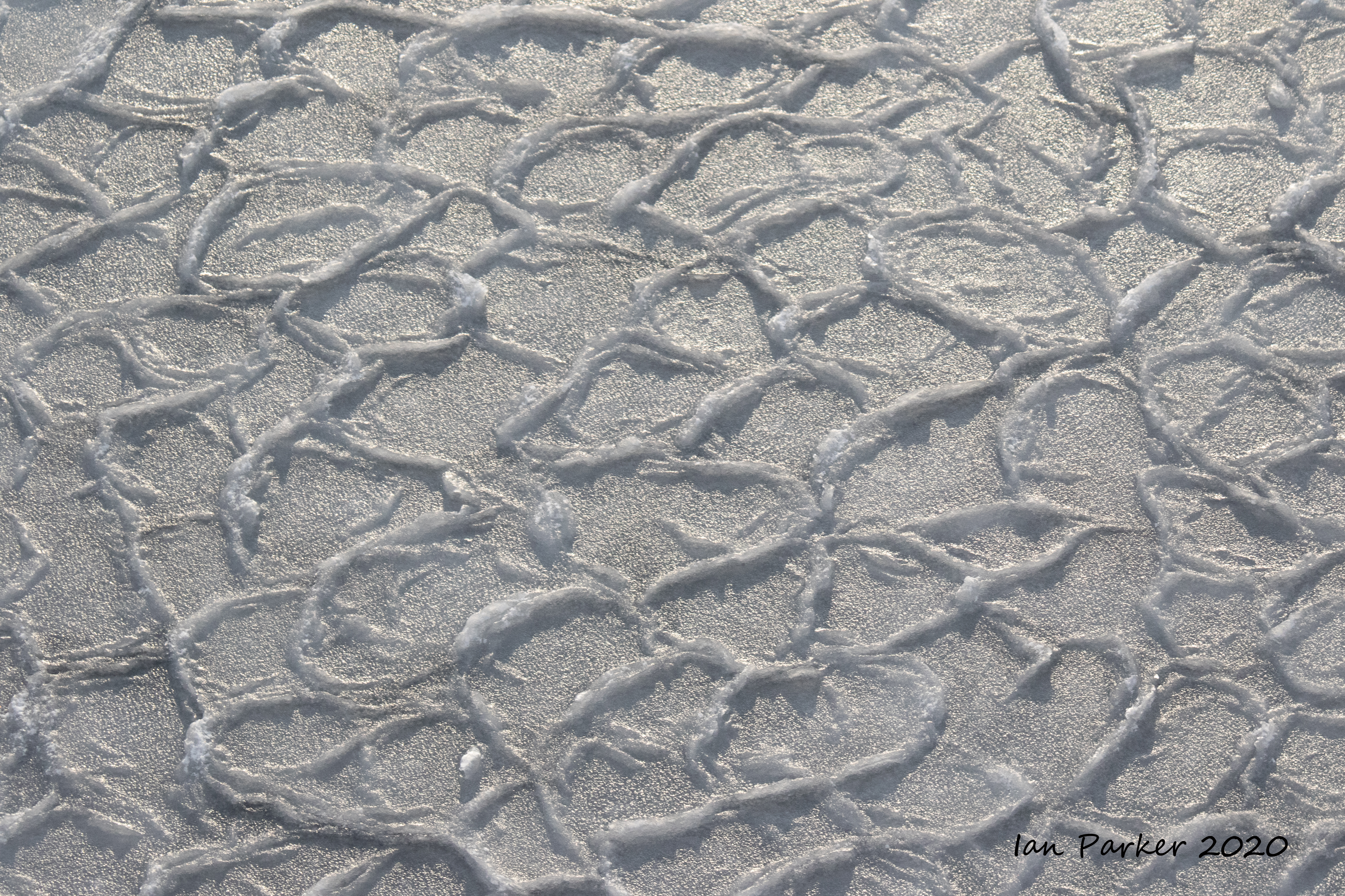
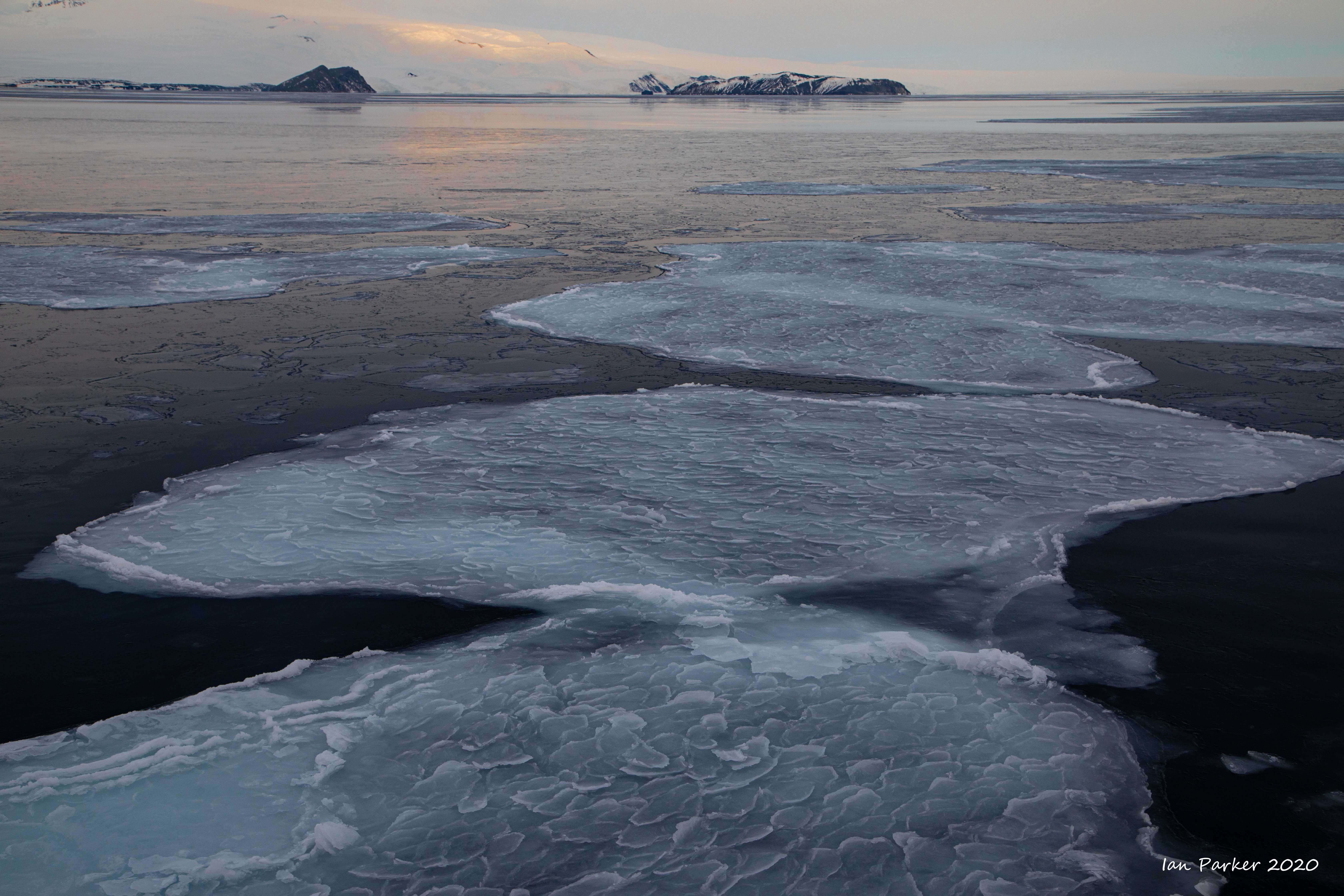
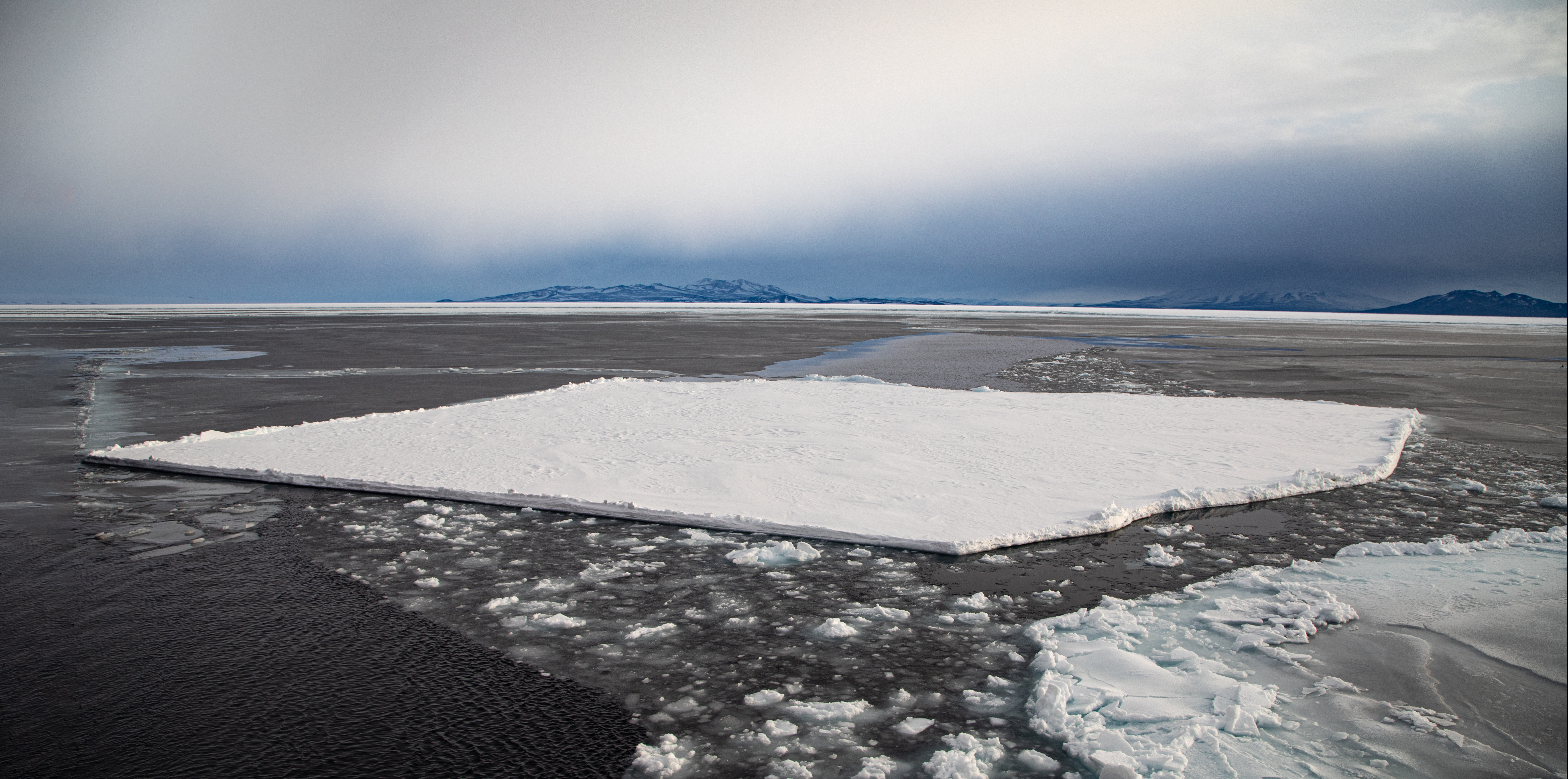
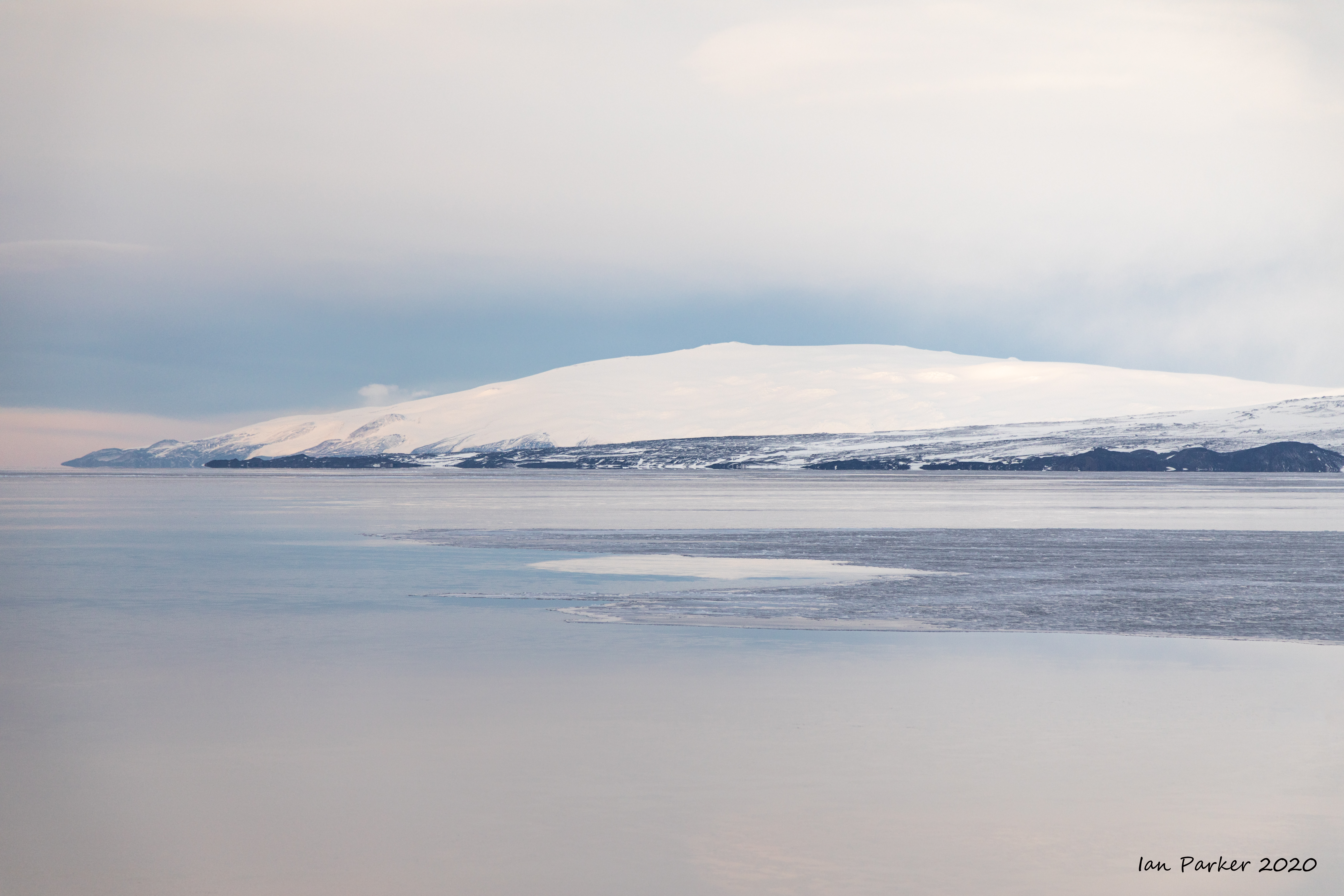
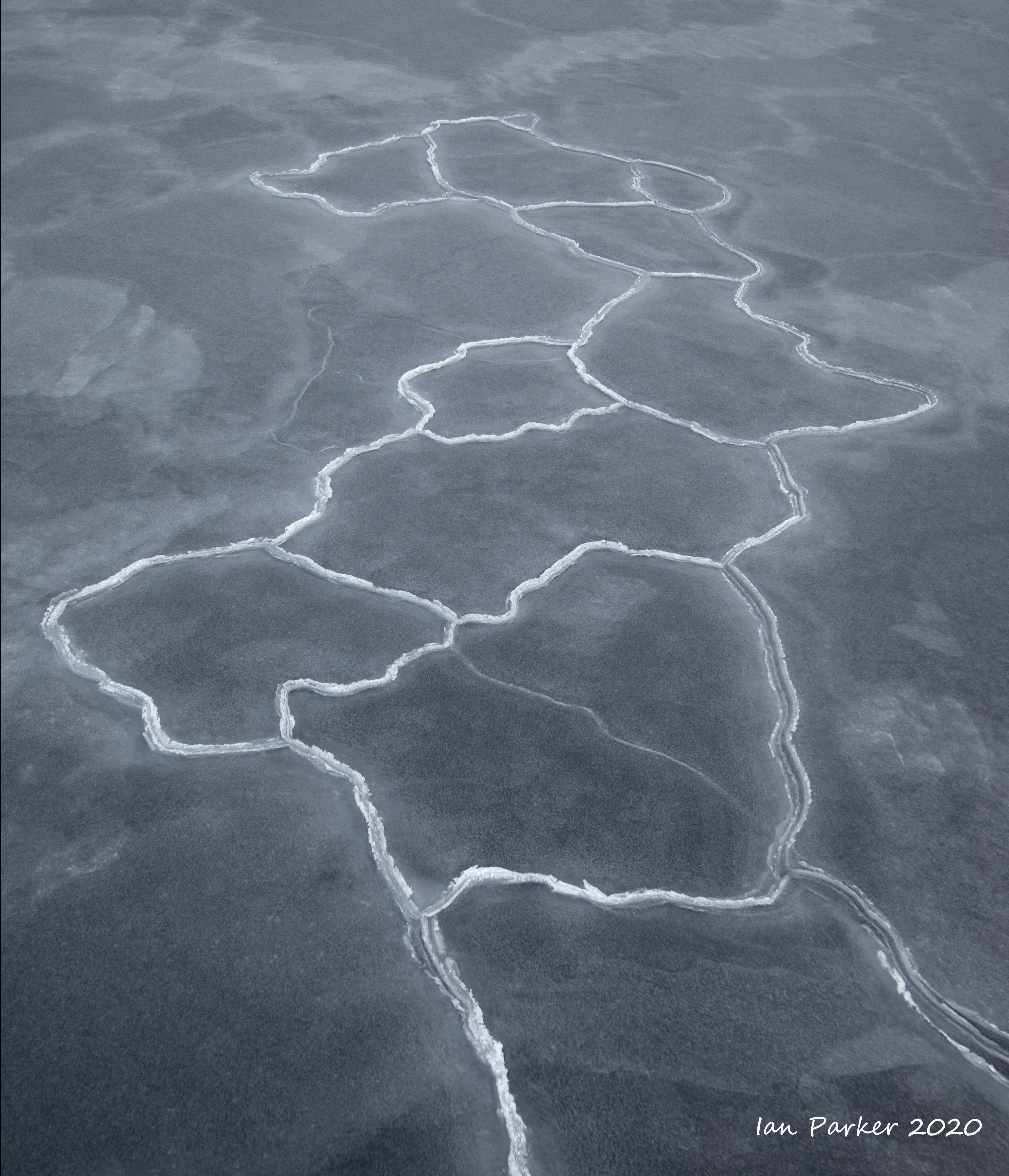
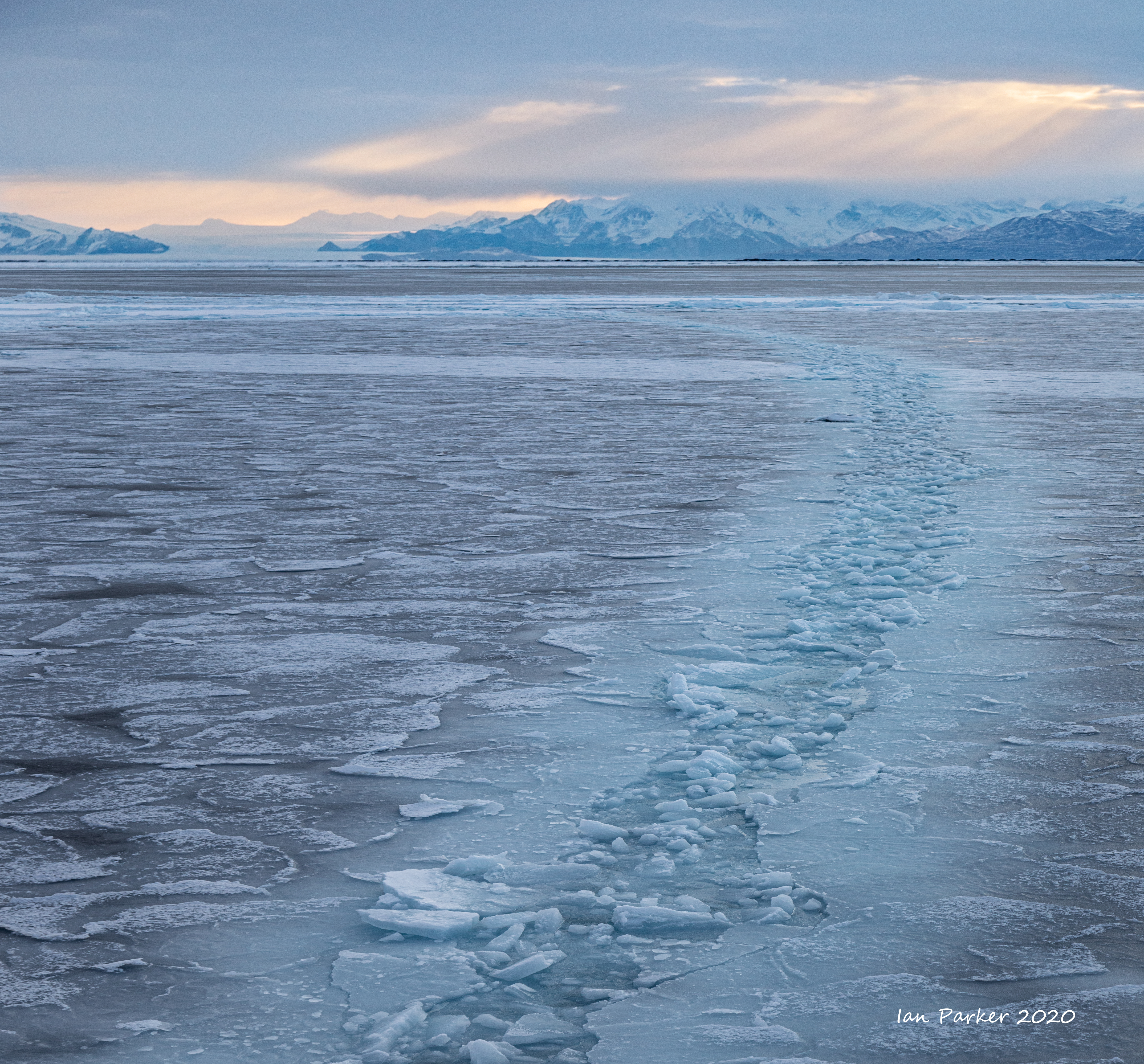
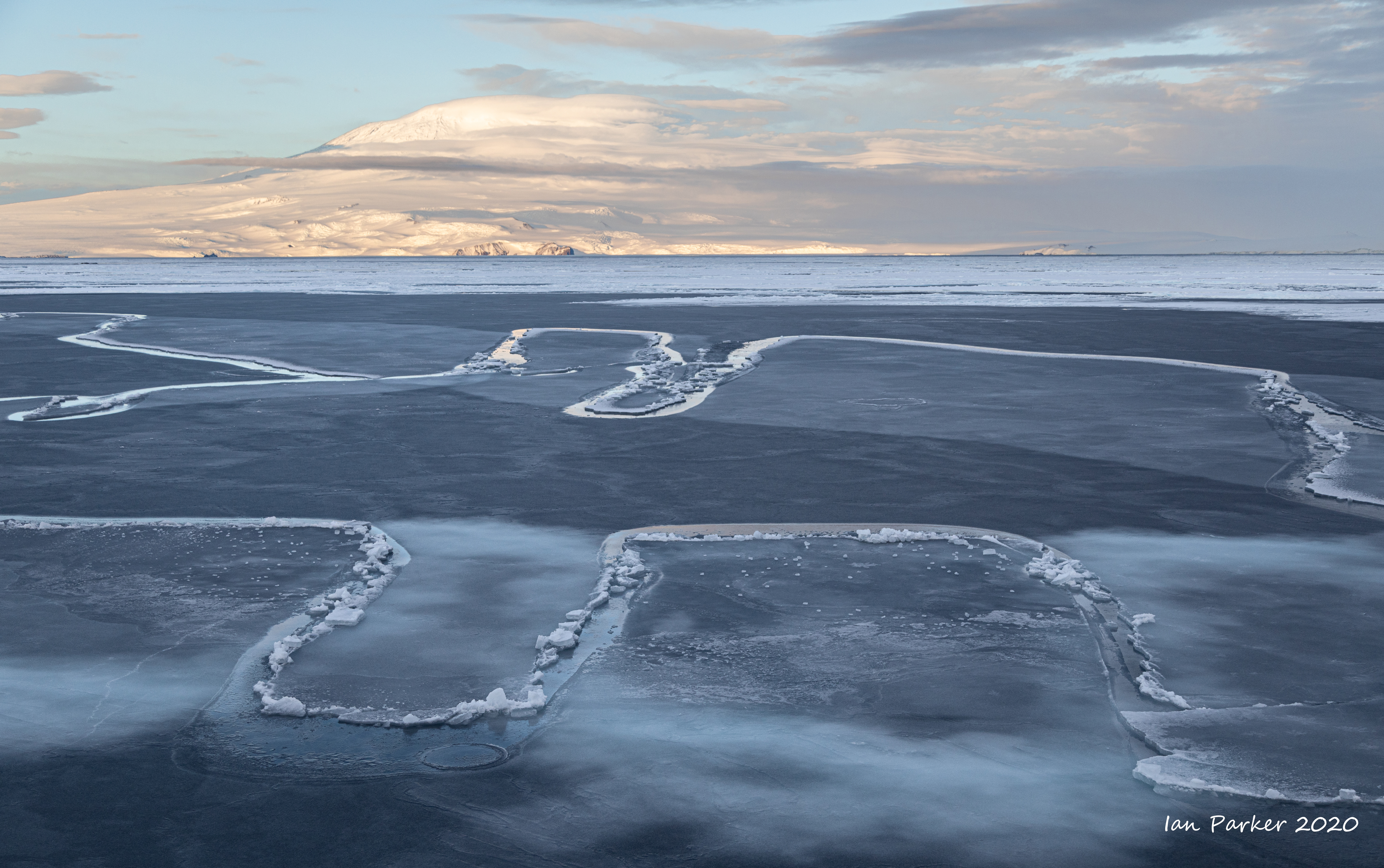
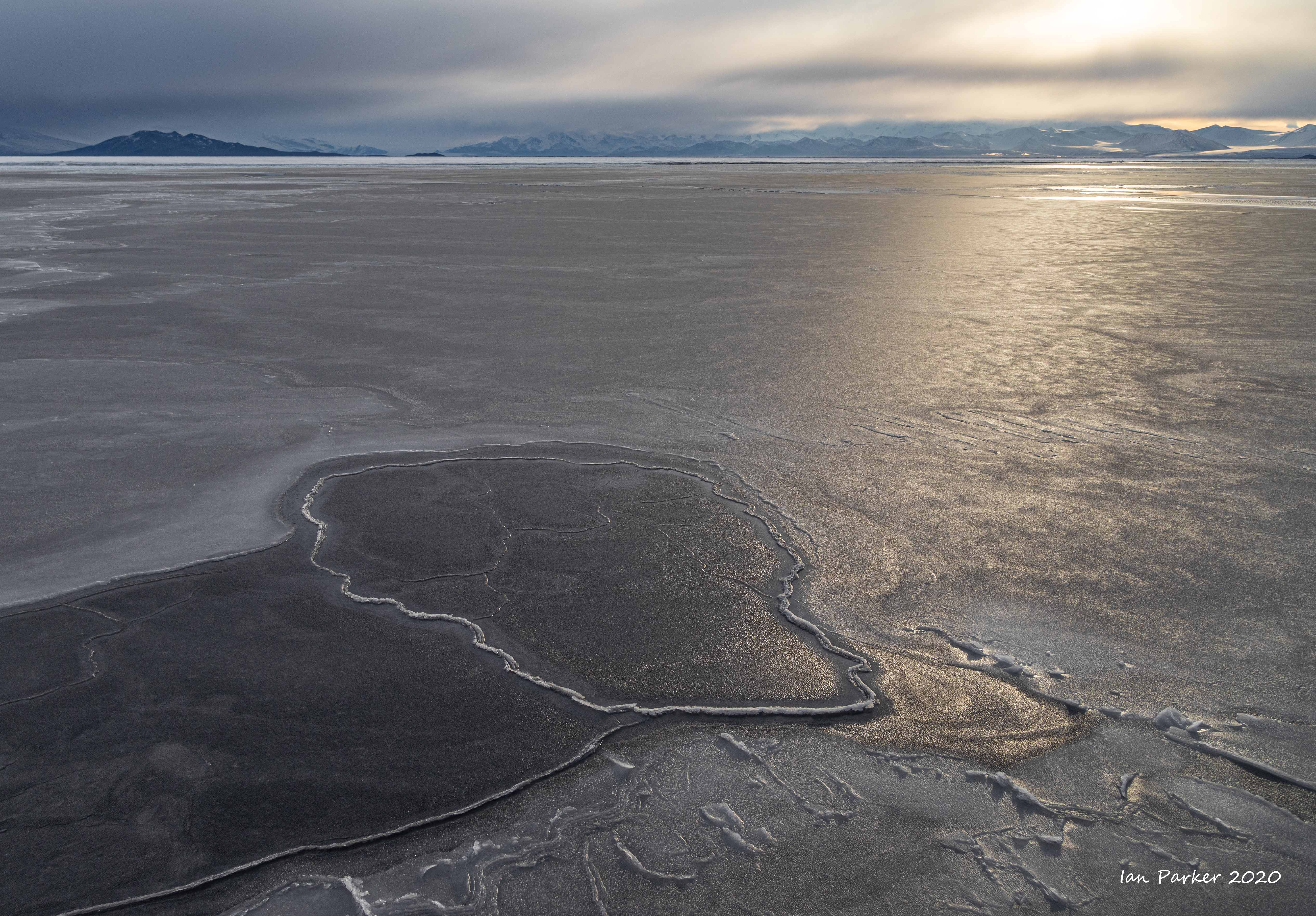
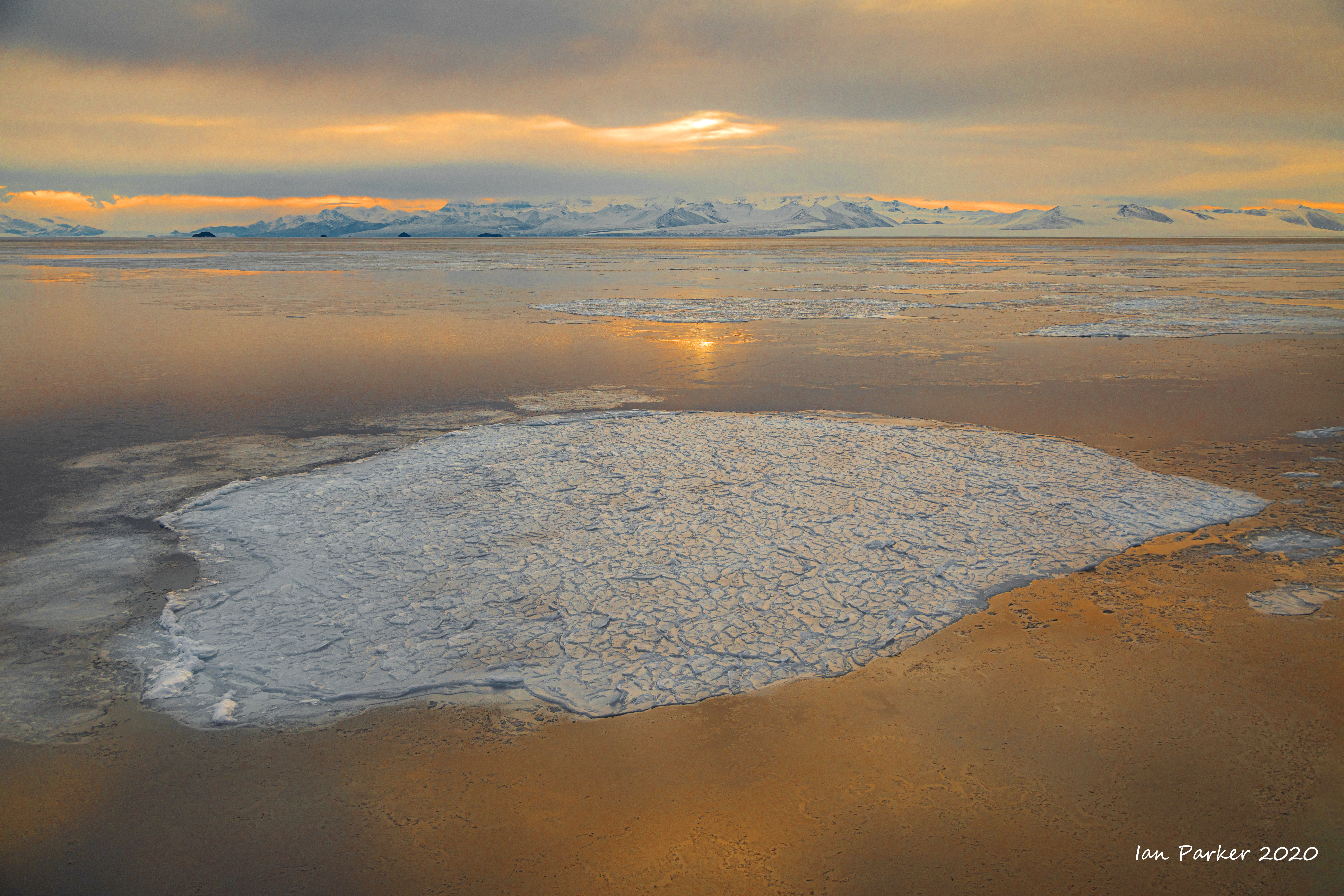
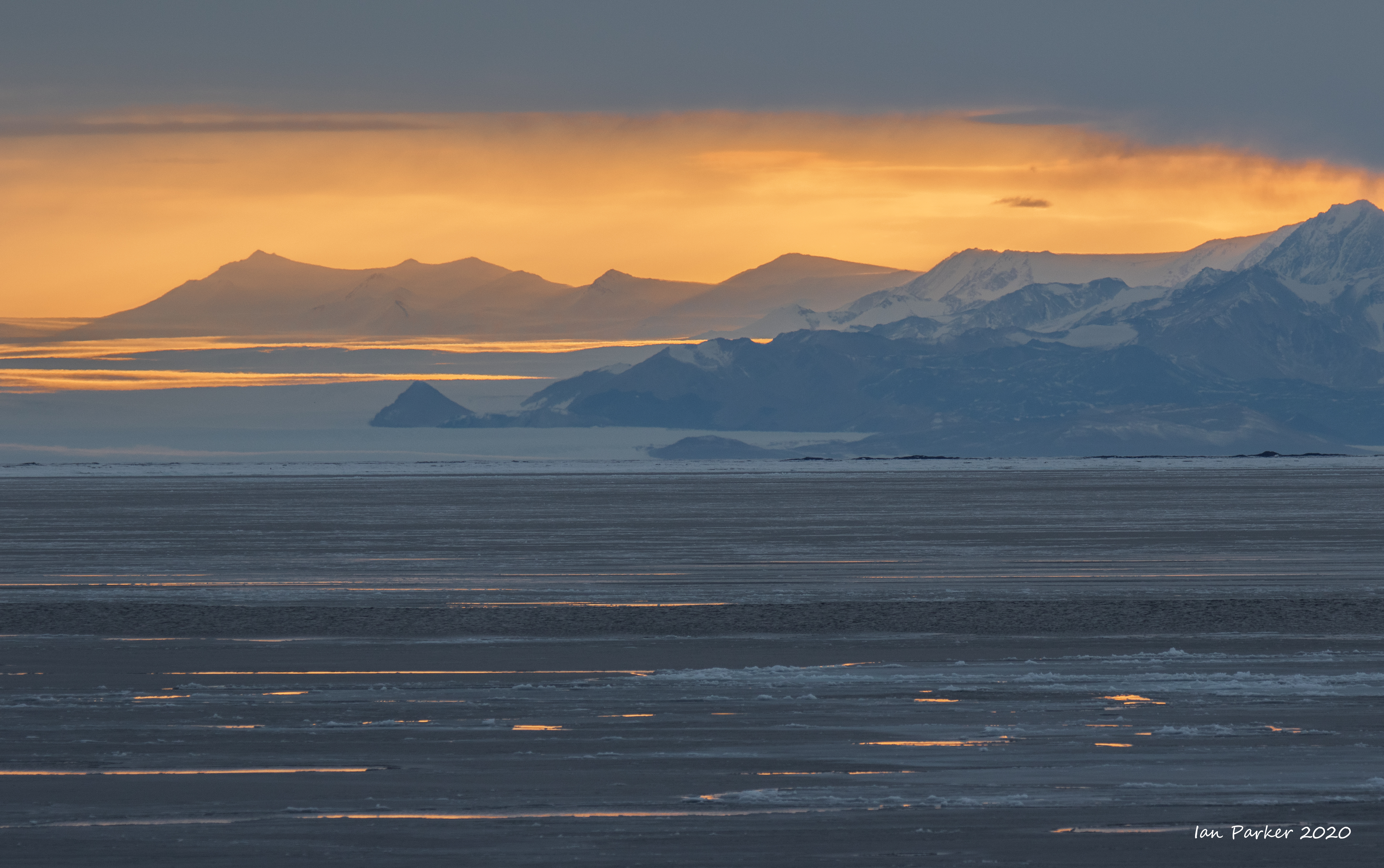
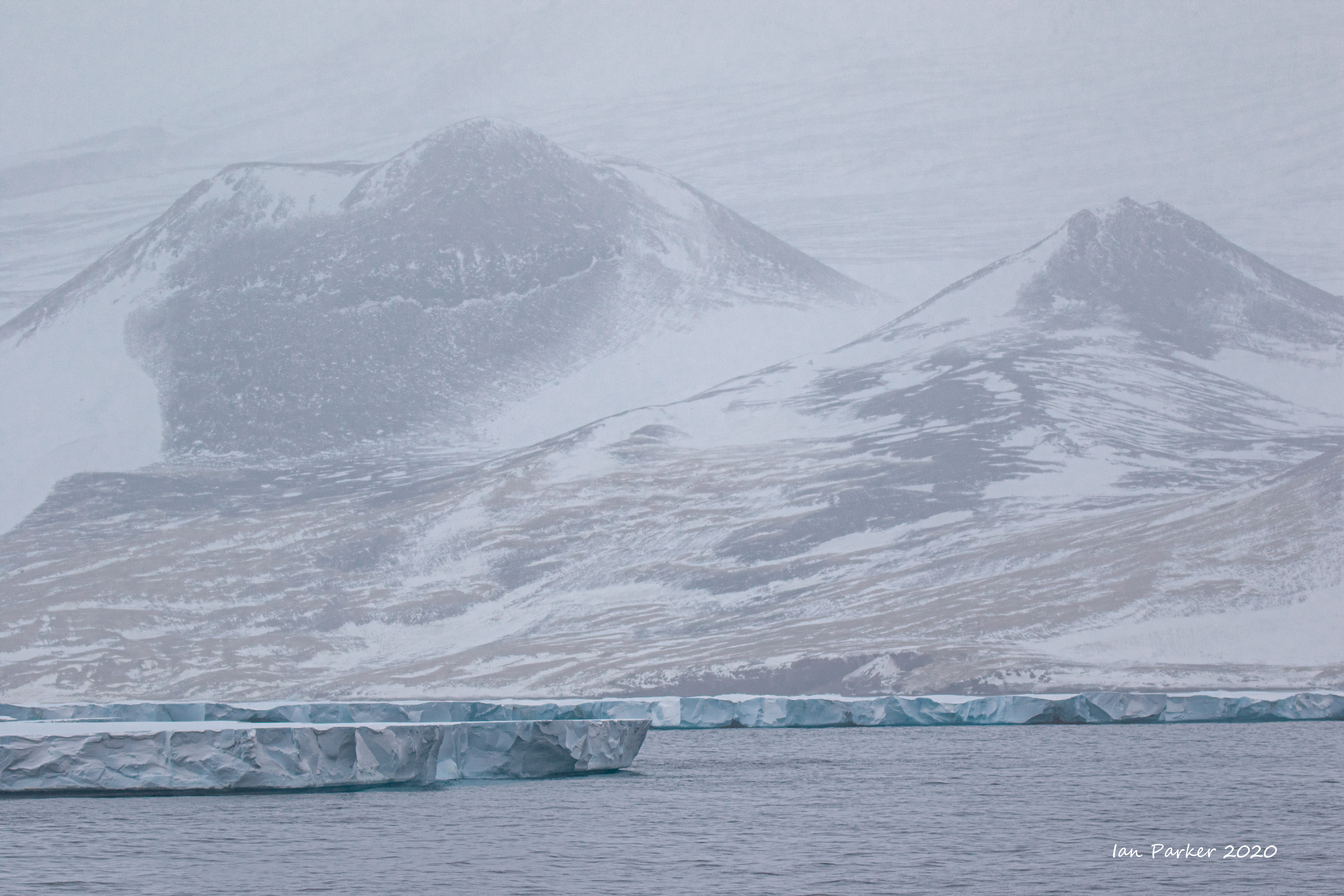
McMurdo Sound as the sea freezes over
There is only a very short window of one or two months each year when ice conditions in the Ross sea enable access by ships other than icebreakers. The black circles in the satellite ice images below mark the Ross Sea, showing how rapidly the ice cover grows with the onset of winter.
By contrast, the Antarctic peninsula (green circle) remains accessible for a much longer time.
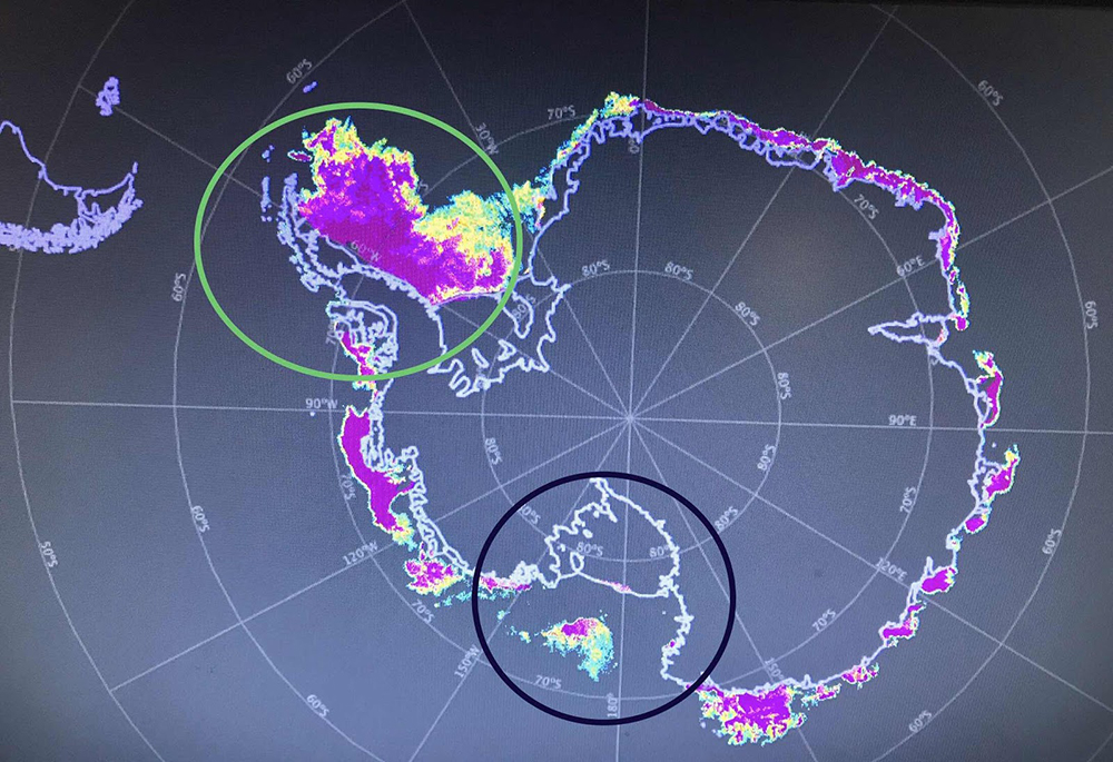 Sea ice extent Feb 22, 2020
 |
|
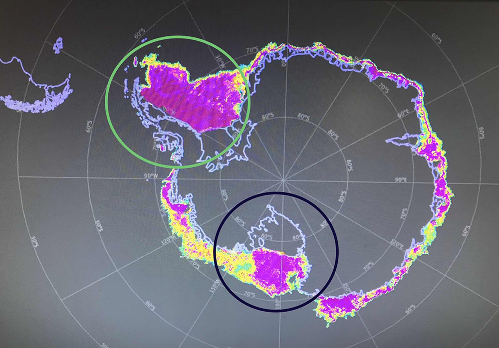 Sea ice extent March 22, 2020
 |
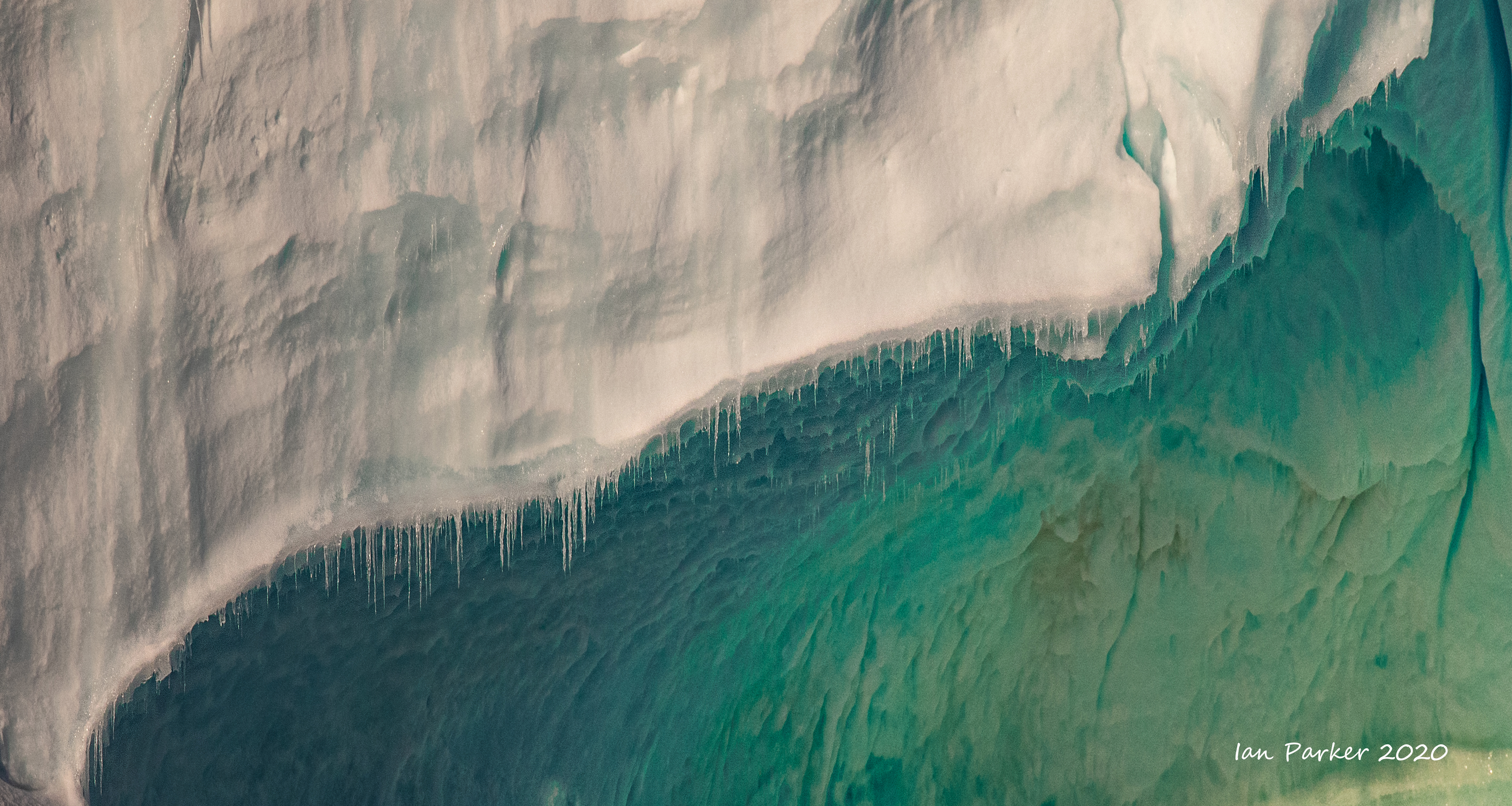
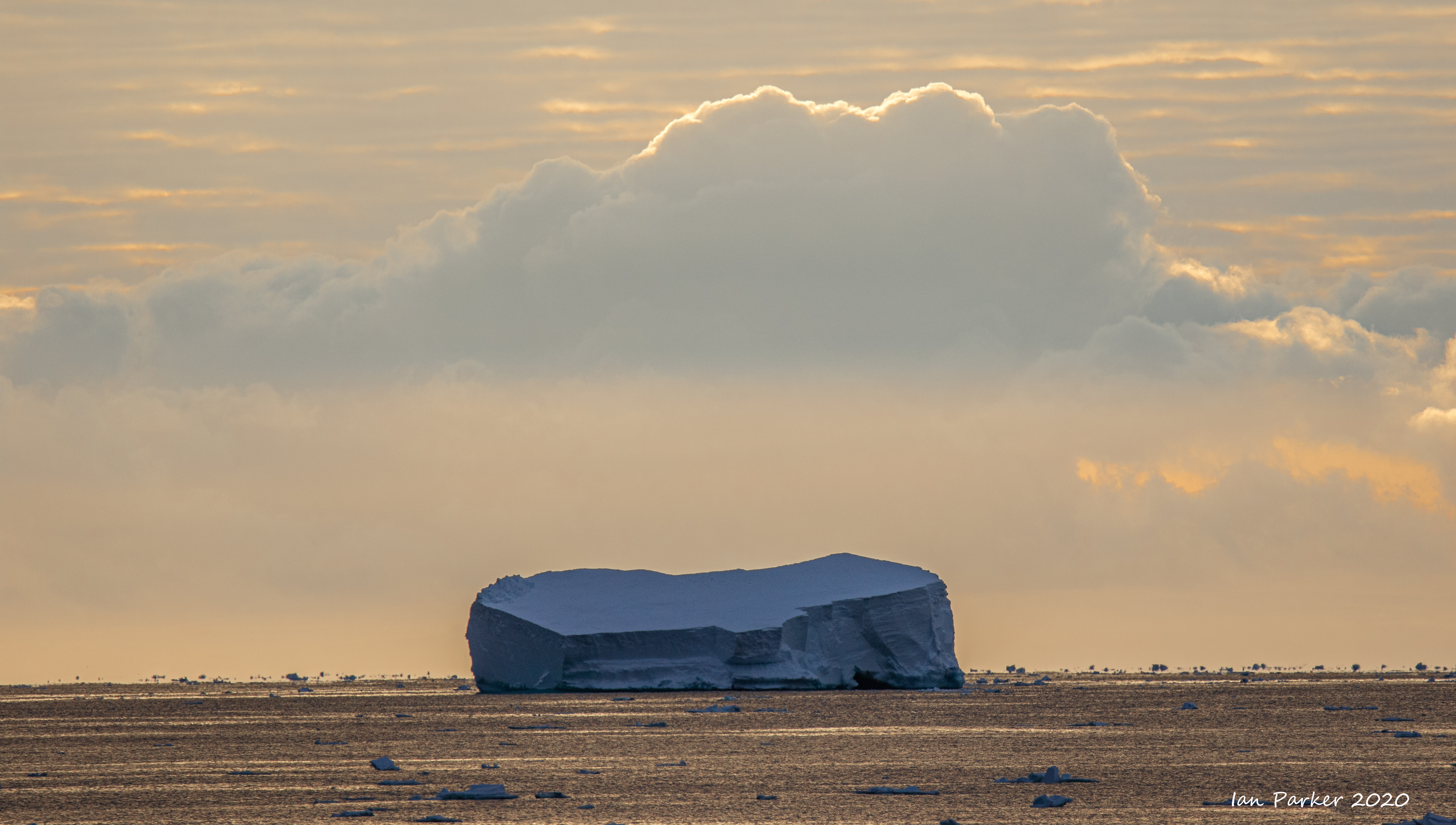
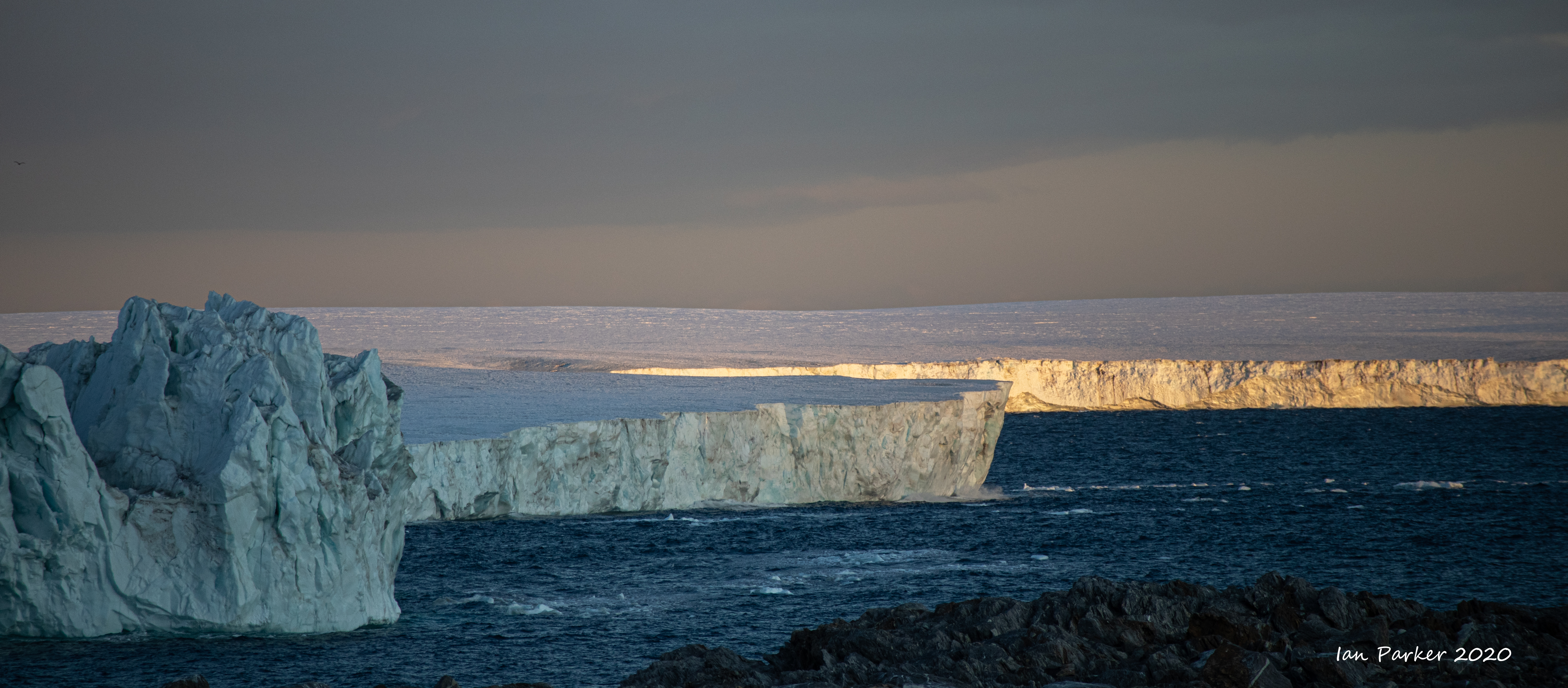
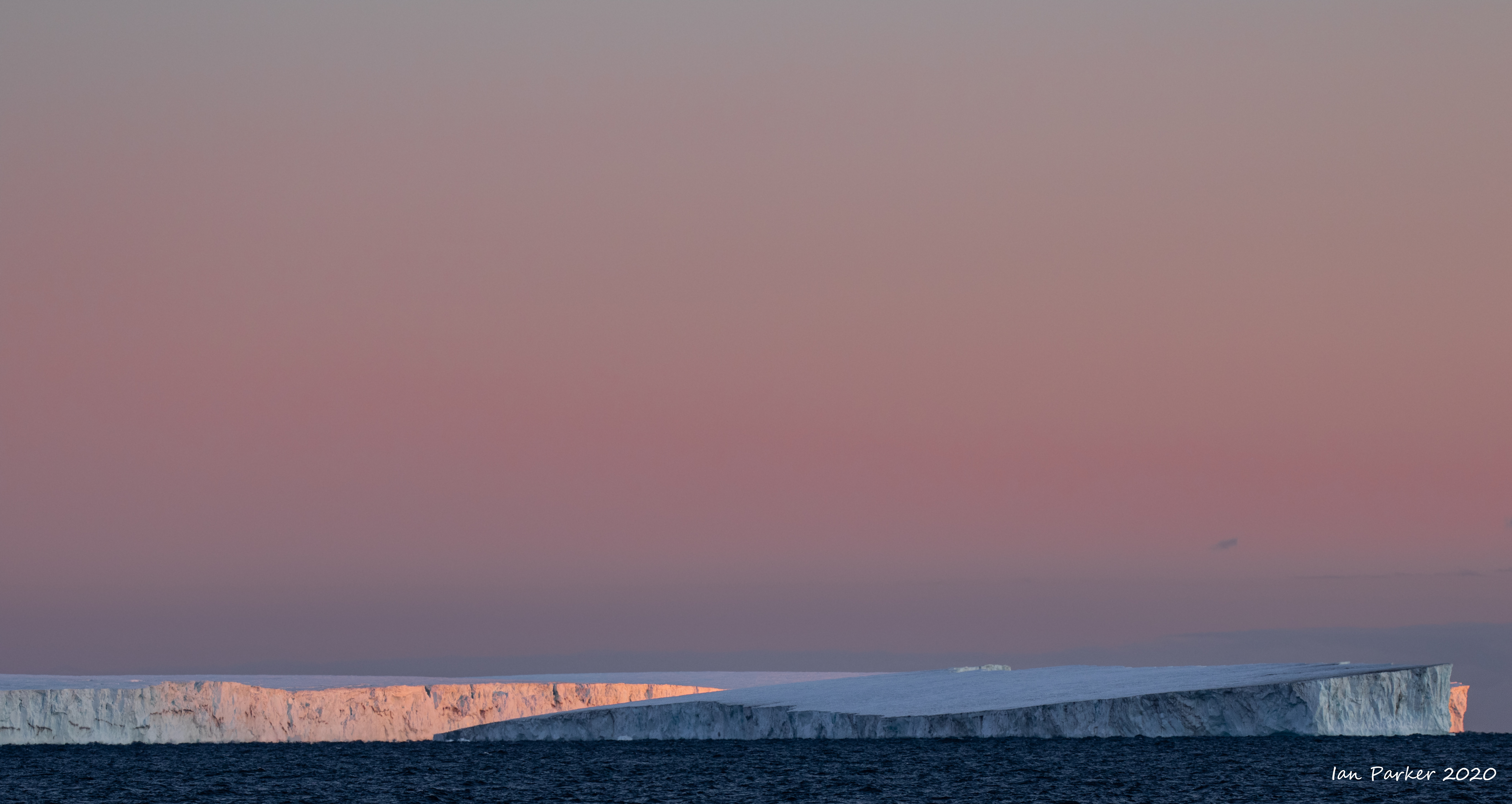
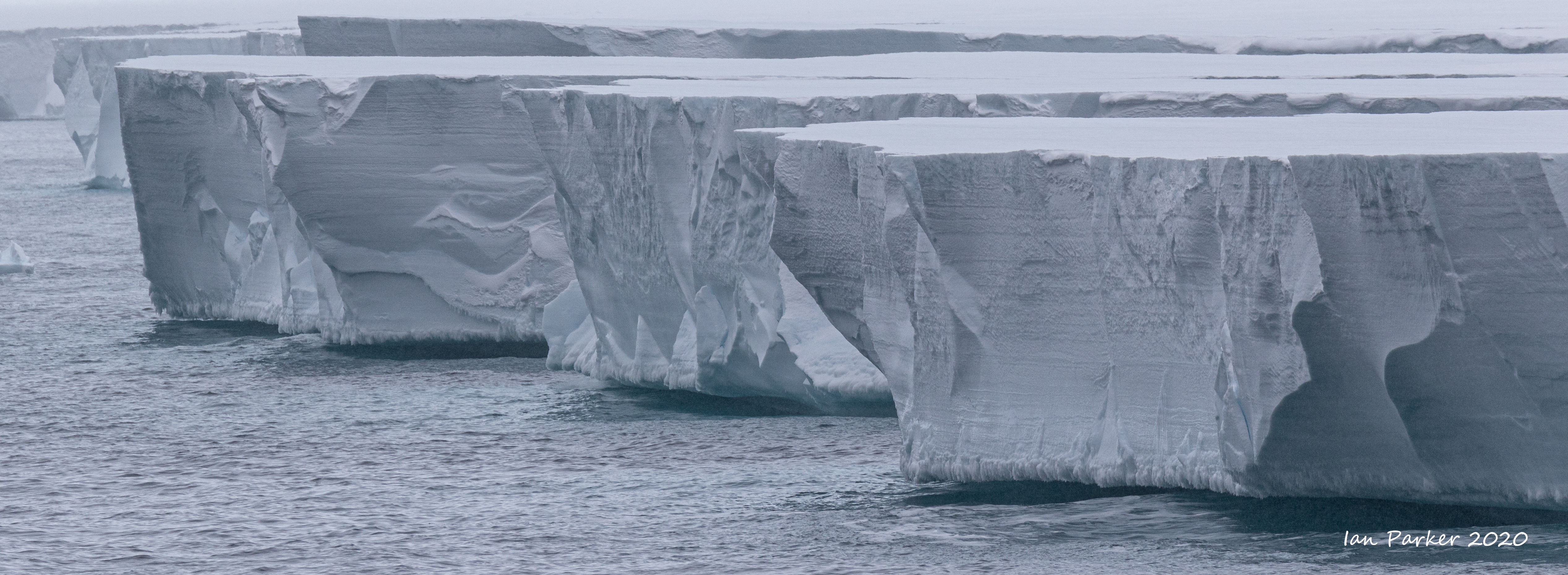
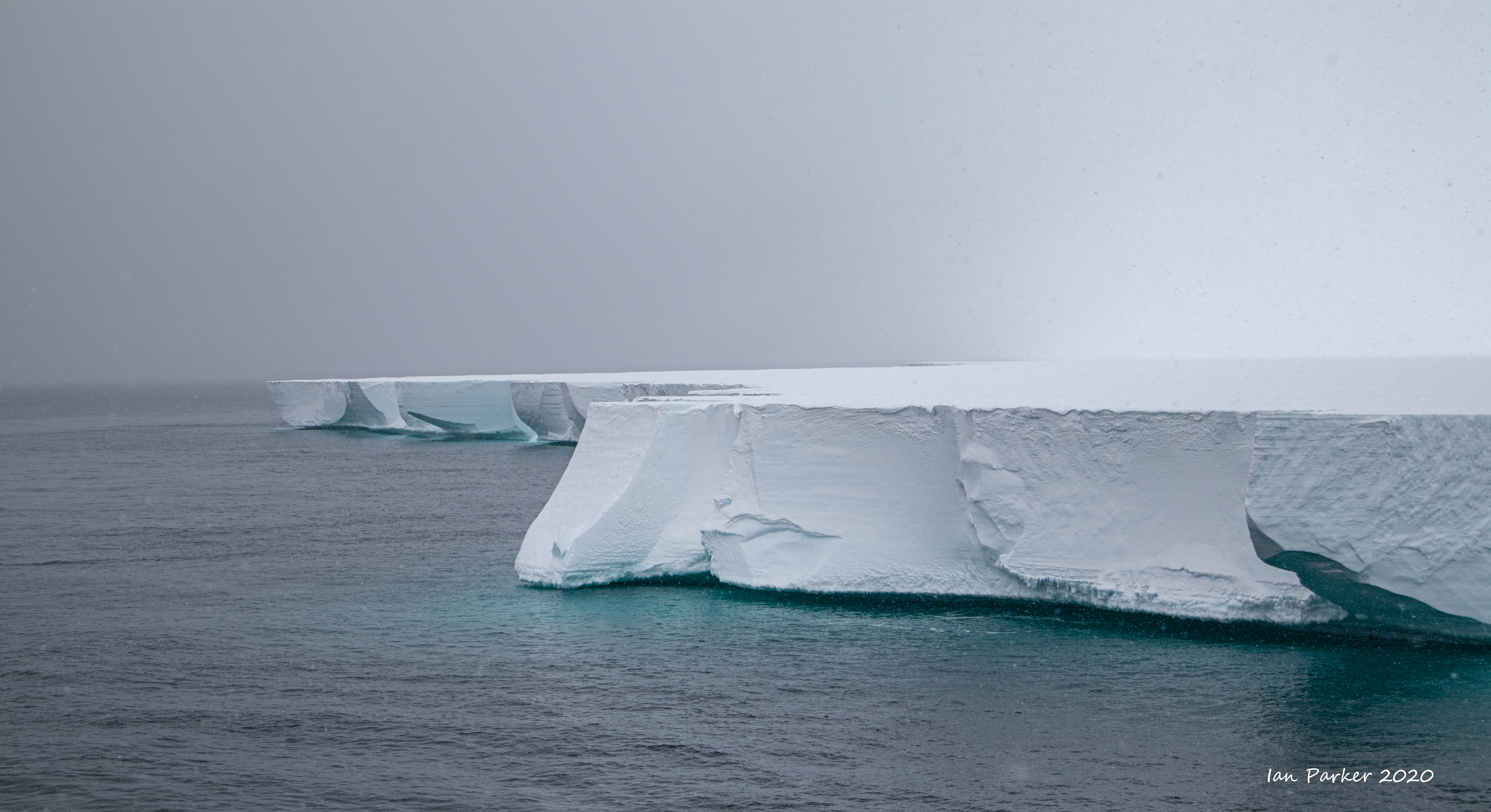
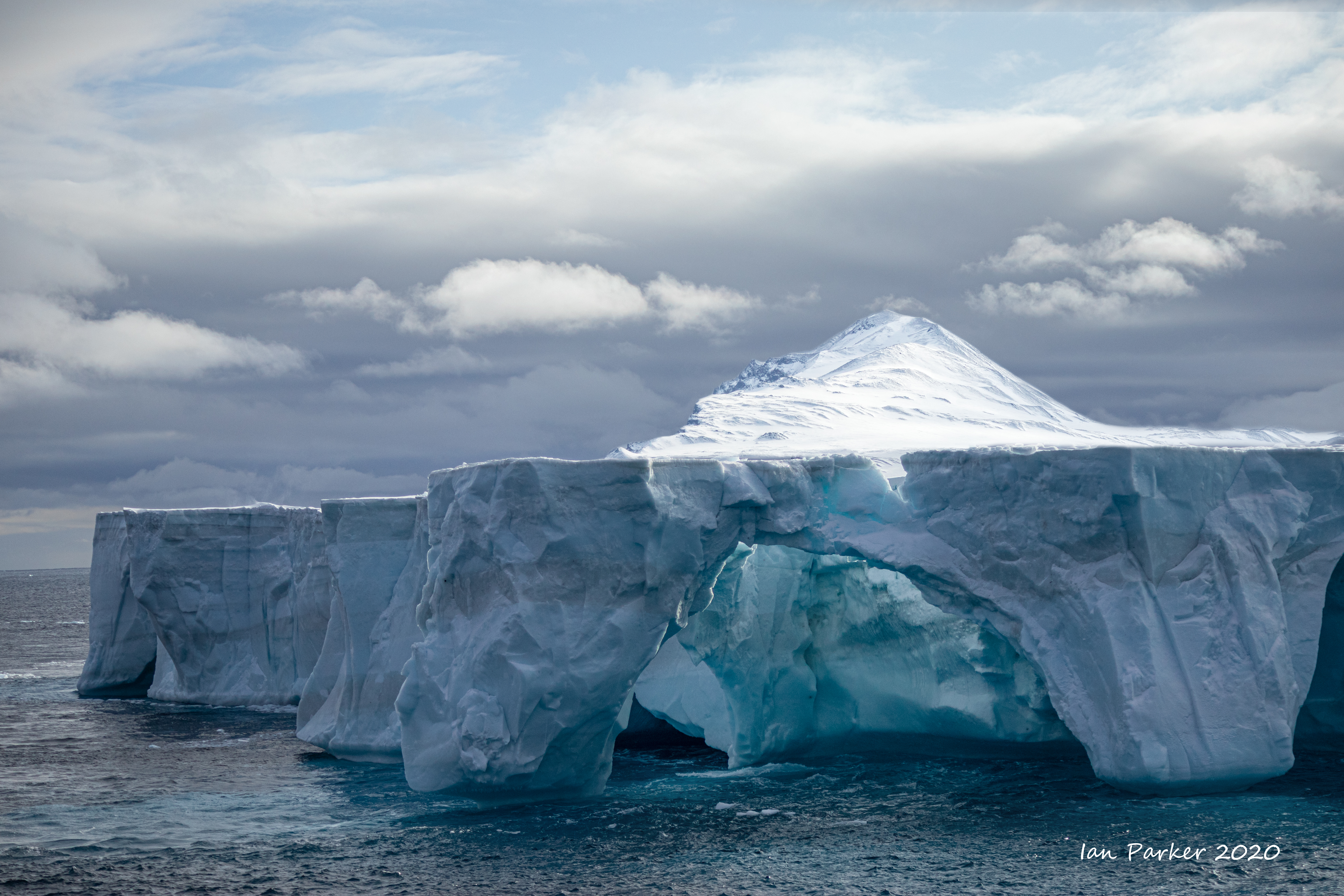
Ross Ice Shelf
The Ross Ice Shelf was discovered by and named after Captain Sir James Clark Ross, who originally called it "The Barrier" and commented "Well, there's no more chance of sailing through that than through the cliffs of Dover". The Ice Shelf is enormous, covering an area about the size as France; it is obviously impossible to convey its size in a photograph. The ice edge extends for about 500 miles and is remarkably uniform. Although spectacular, sailing along the edge gets boring quite quickly!
Inexpressible Island
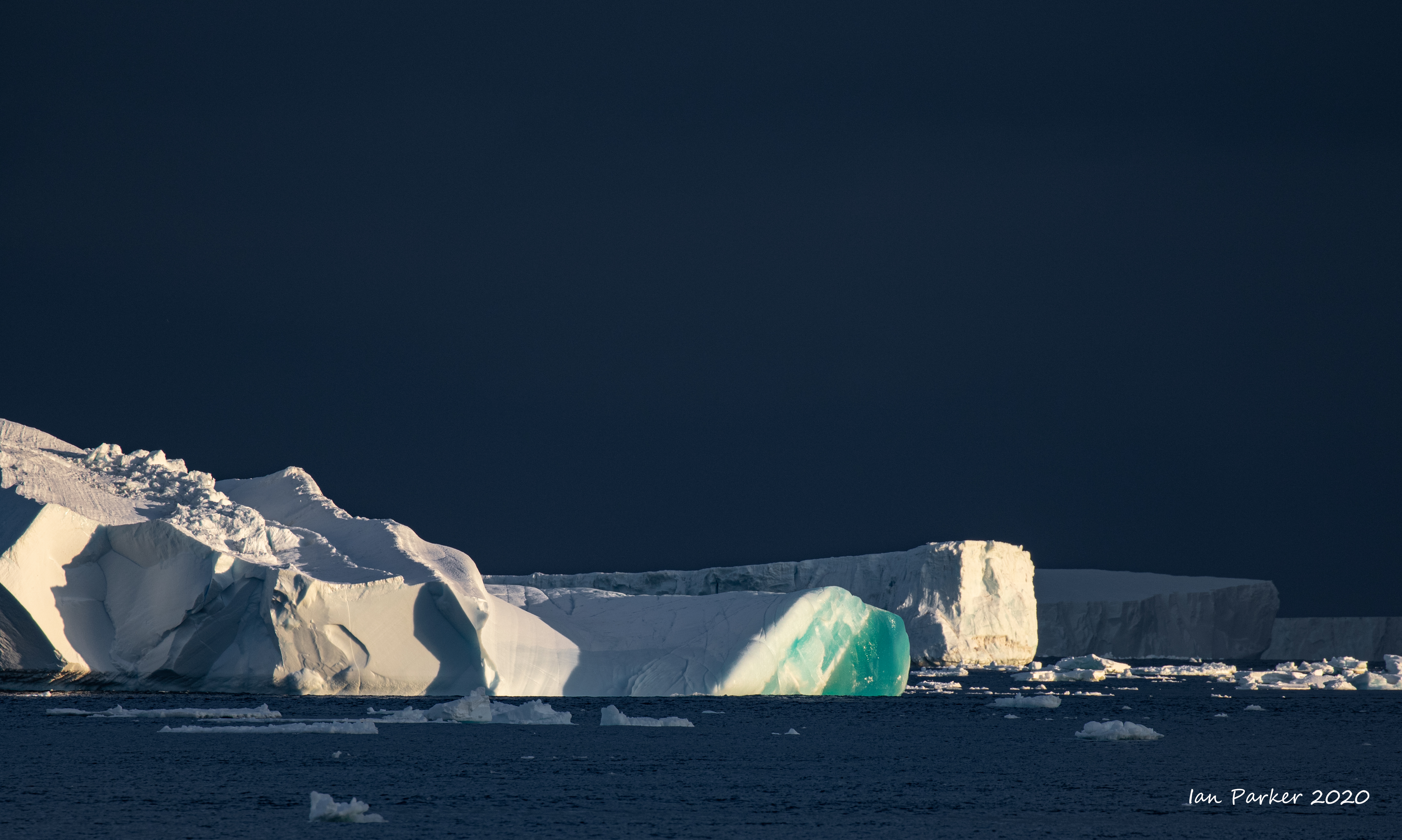
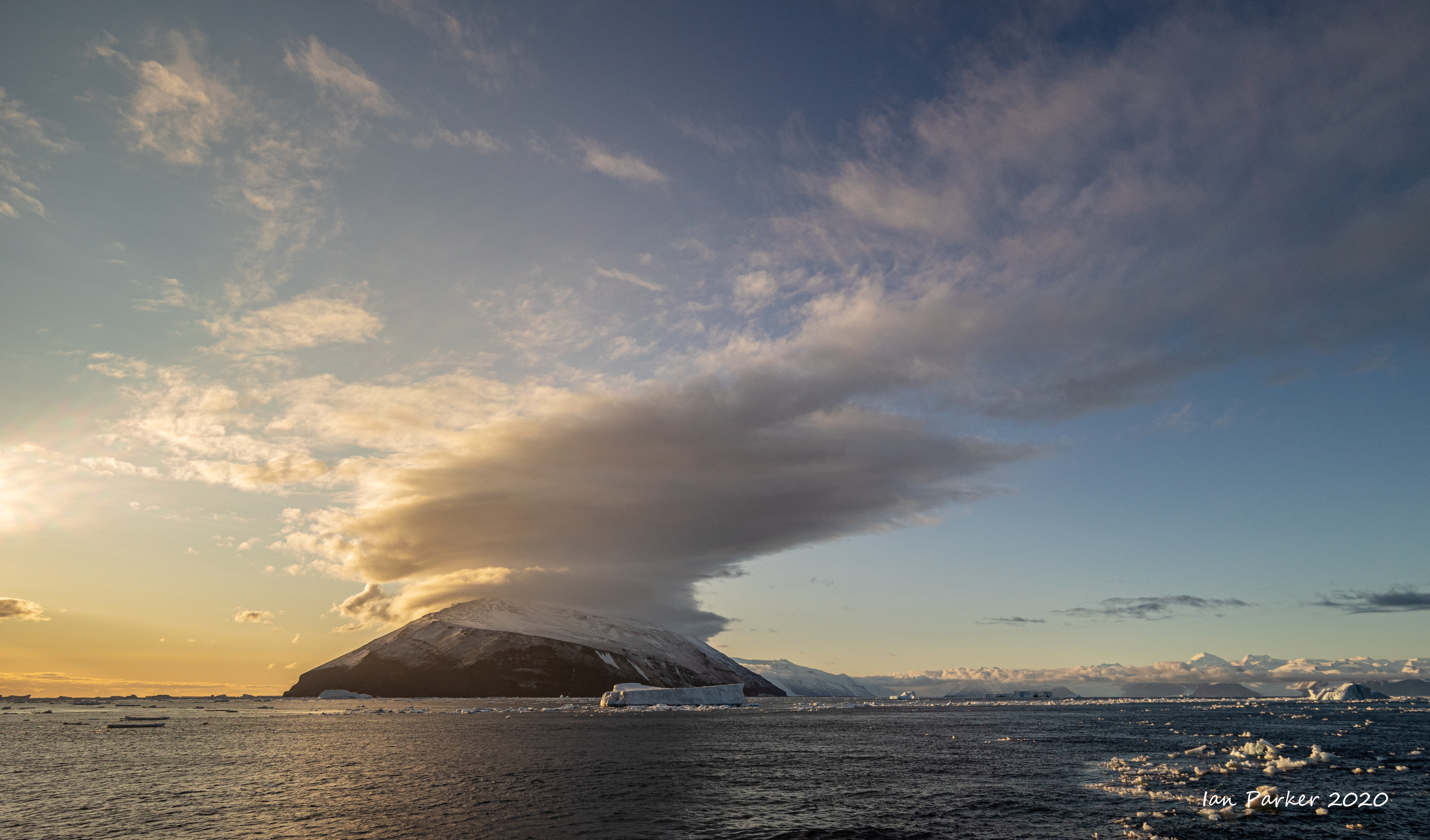
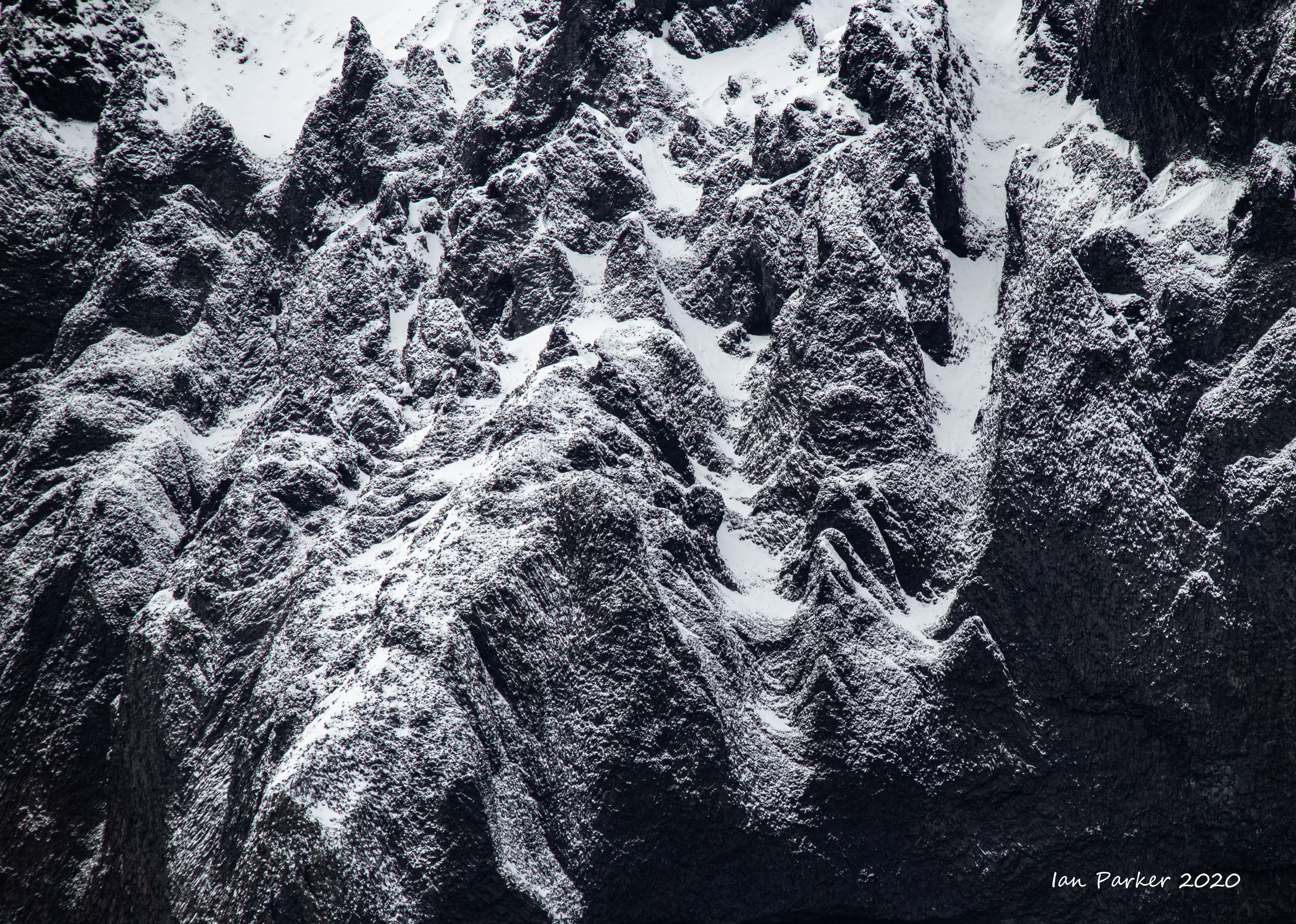
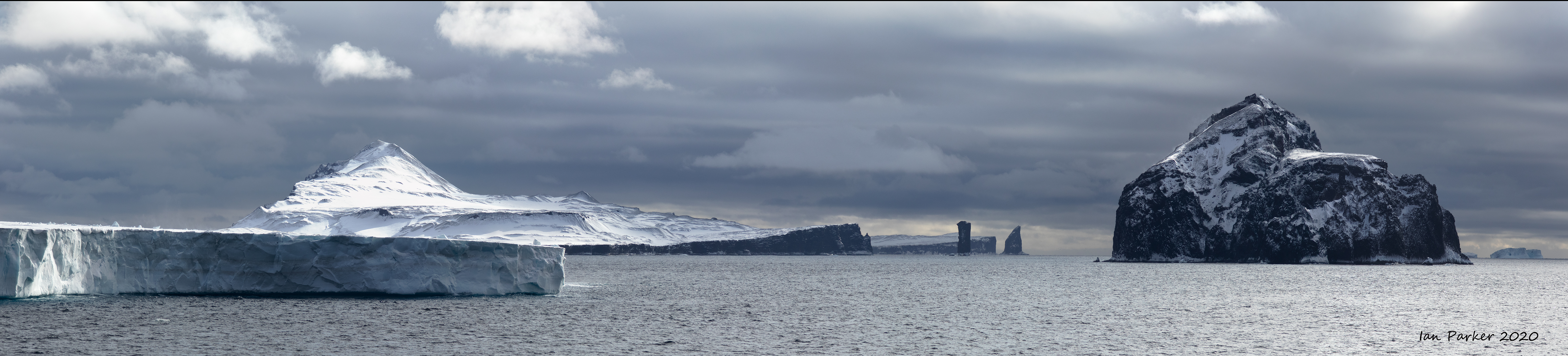
The Balleny Islands
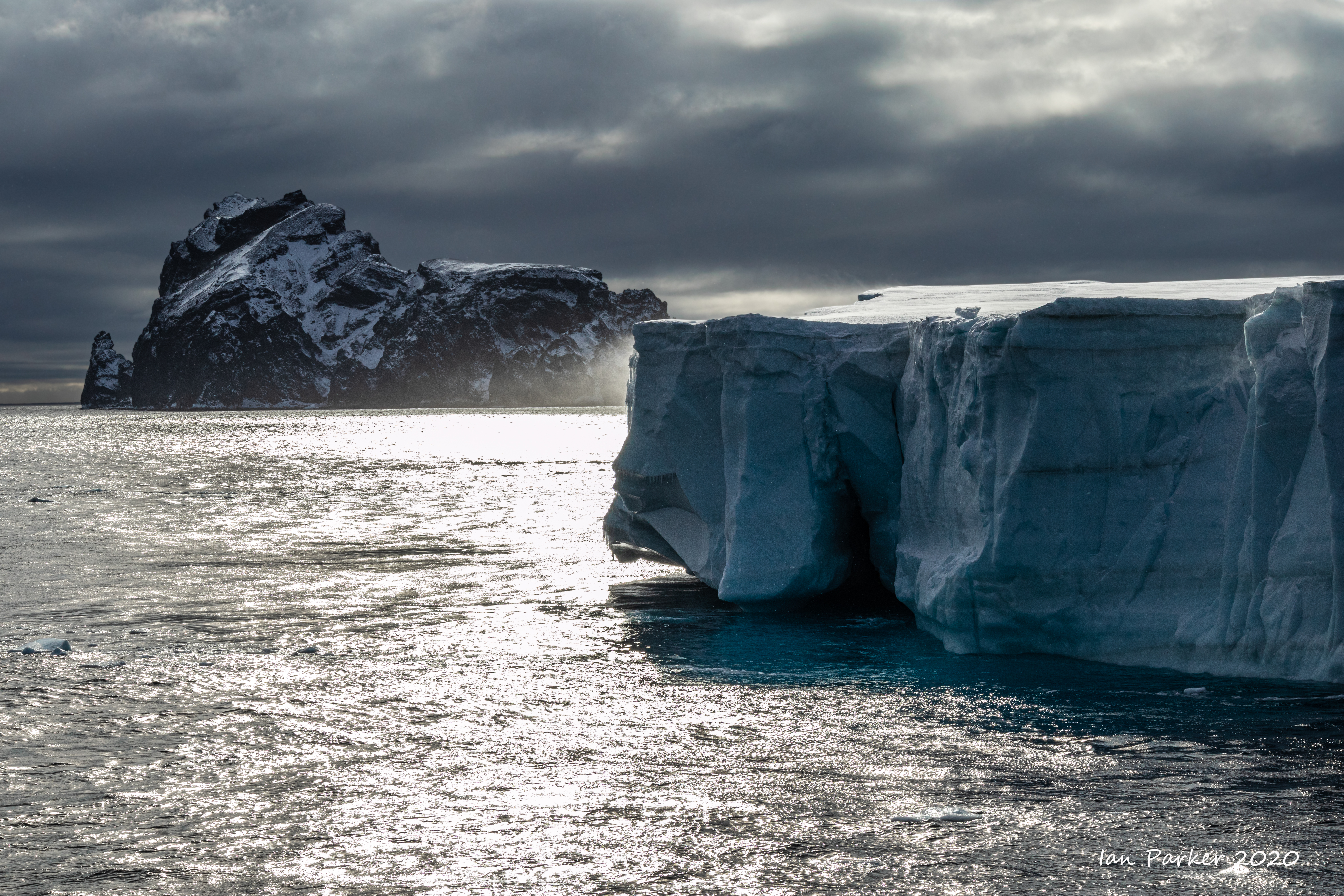
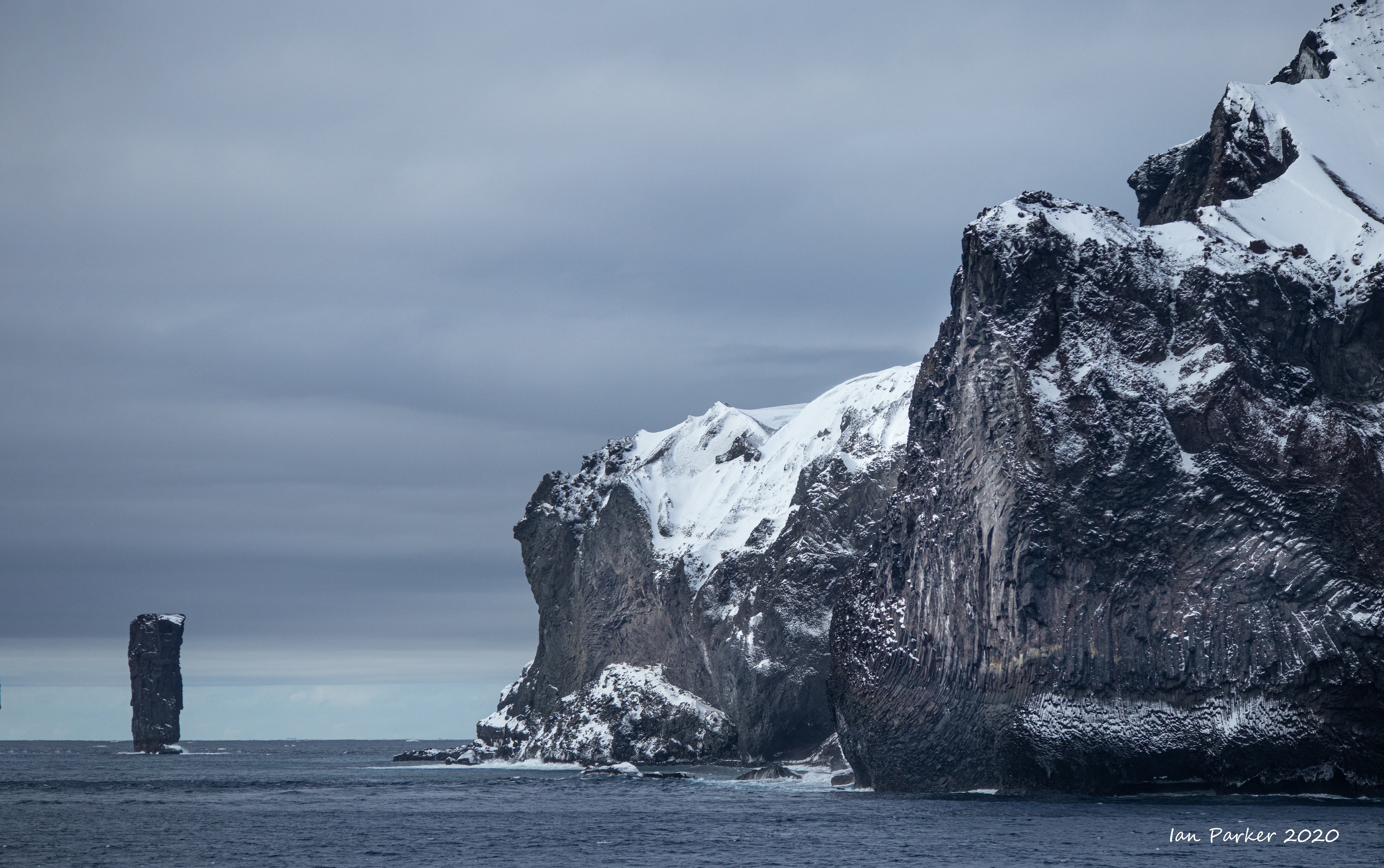
Finally leaving the Antarctic continent we detoured past the Balleny Islands with sheer cliffs of volcanic rock and ice and big dormant volcanoes. At 2100 hours we reached the south end of Buckle Island and its famous The Monolith, a 110-metre pillar of volcanic rock and Sabrina Island, a protected area with Chinstrap Penguins.
Various flying birds were seen including numerous Snow Petrels. The coastline is a forbidding one, located below ice caps on each island and where the ocean rapidly descends from the shore to depths of nearly 2,000-metres. |
|
 |
| |
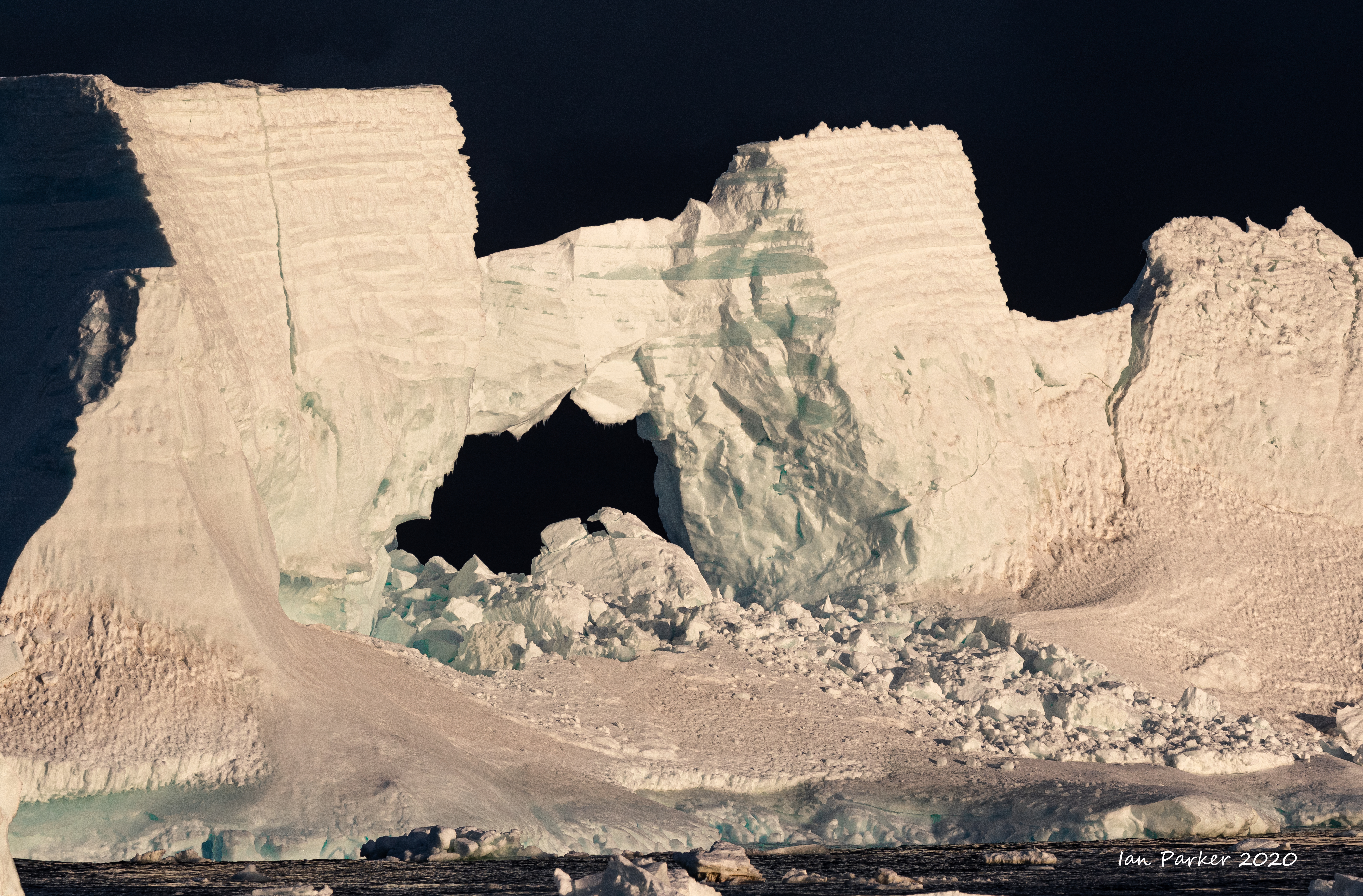
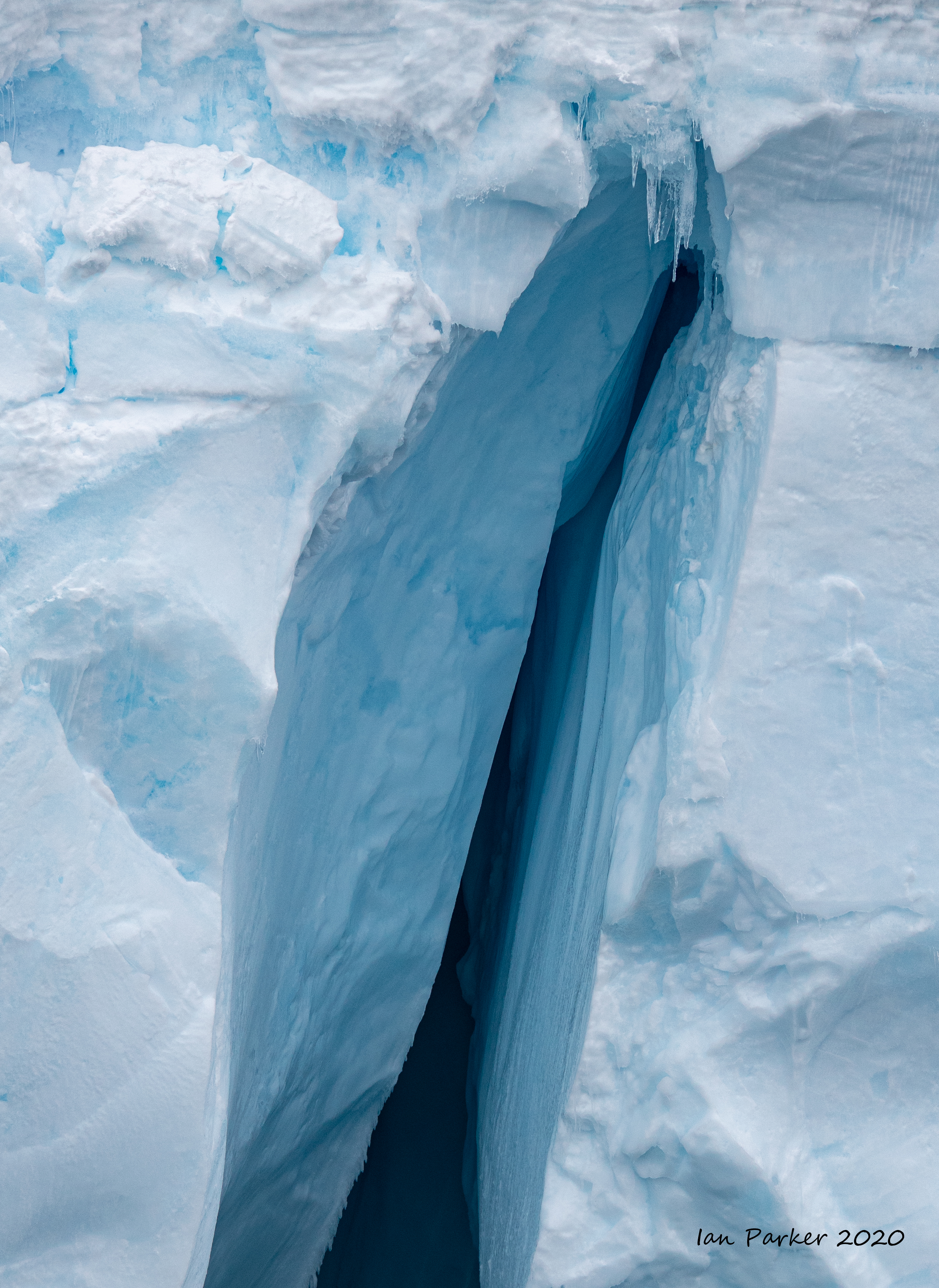
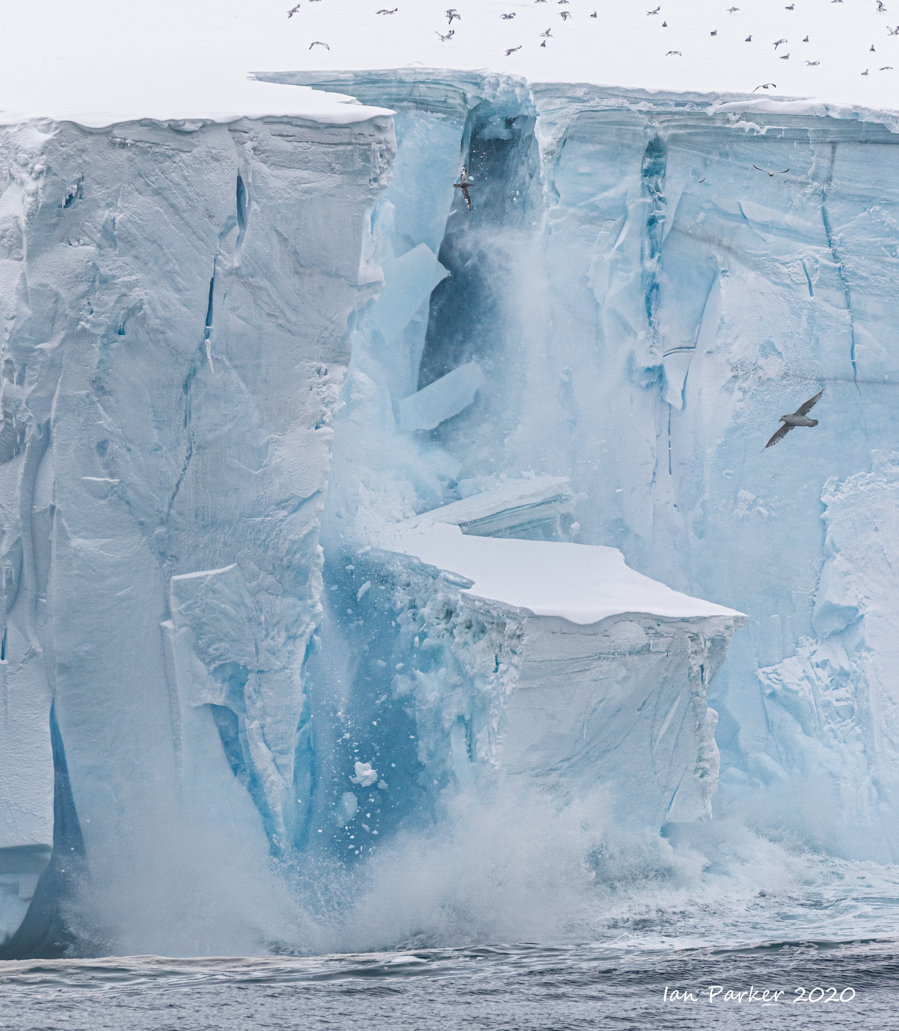
Arch in iceberg; Balleny Islands, Antarctica |
|
created 05/31/2020
|
|
|
|
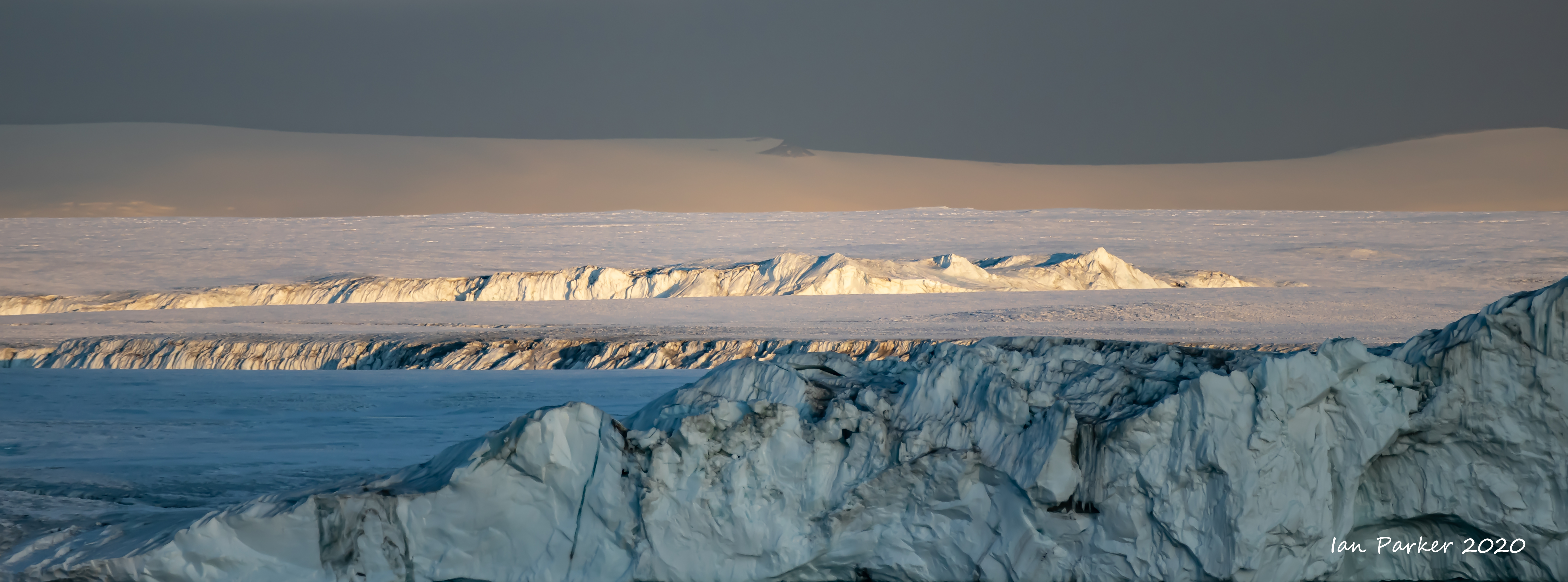
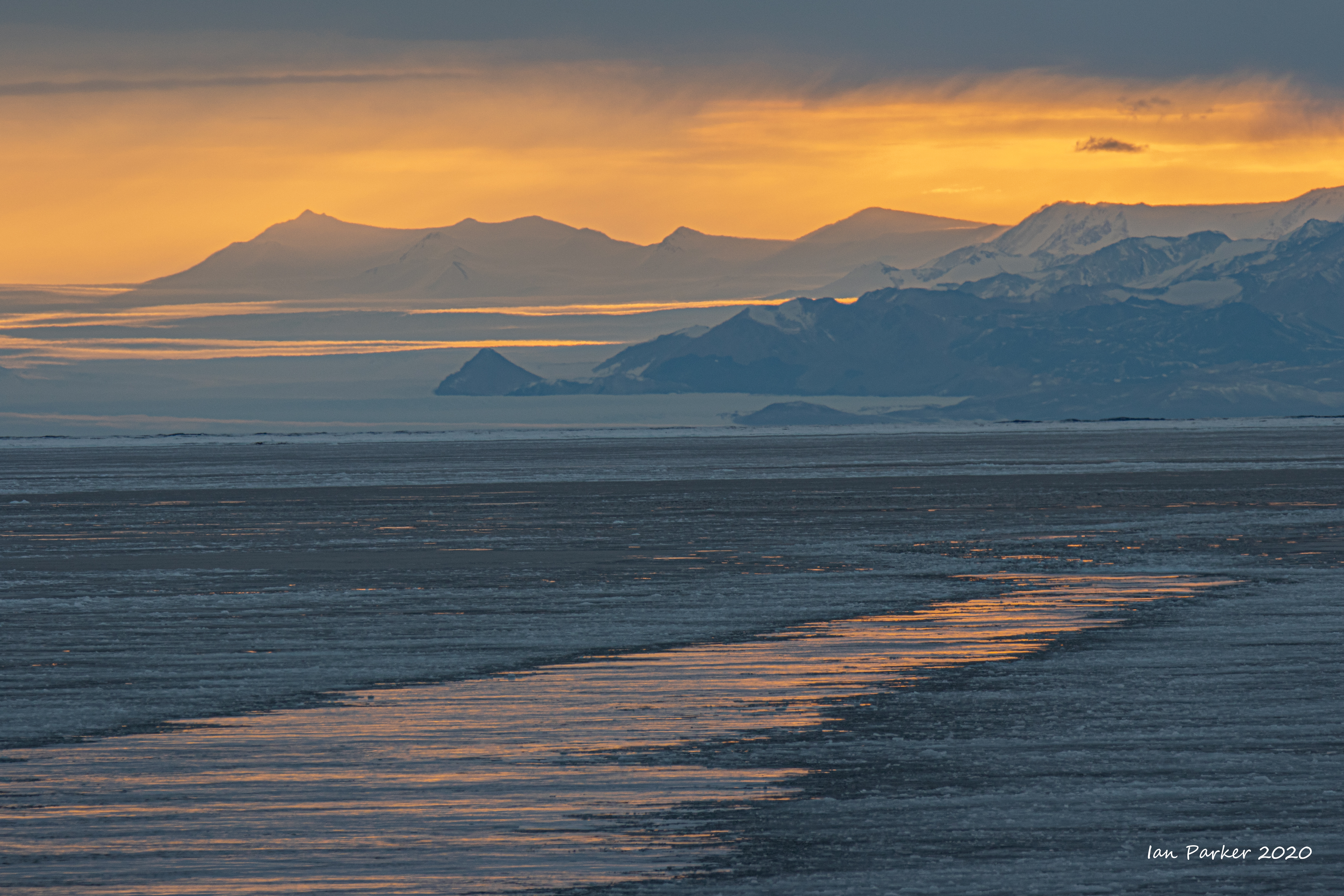
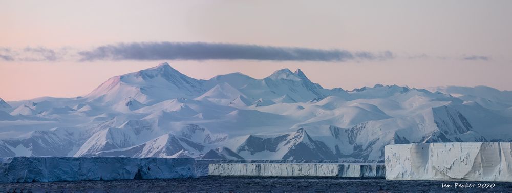 Admiralty Mountains panorama with icebergs; Antarctica