<%@LANGUAGE="JAVASCRIPT" CODEPAGE="1252"%> Evanescent Light : Death Valley


evanescent
: fleeting, transitory
evanescent wave: a nearfield standing wave, employed for total internal reflection microscopy

For faster browsing, click on the underlined text legend below any of the thumbnail images in the galleries. Use your browser BACK button to return you to the gallery. If you find a picture you like, you can download the image at full original resolution (usually between 10-30 Mpixels; with some panoramas >100 Mpix) by clicking on the thumbnail itself. To save a downloaded image, right click on it and scroll to 'save picture as...'. To use an image as your desktop background, right click and scroll to 'set as background...'.
Visitors are welcome to download images for personal use (e.g. as computer desktop wallpaper). Click HERE to order prints online. Please contact Ian Parker at evanescentlightphotography@gmail.com regarding possible commercial use. Details of copyright, image use and licensing are HERE.

Back to Evanescent Light Homepage

 
CALIFORNIA
Alabama Hills
Anza Borrego
Badwater 135
Big Sur
Bodie
Bristlecone Pines
Bolsa Chica
Bombay Beach
Carrizo Plain
California coast
Death Valley
D.V. Superbloom
Eureka Dunes
High Sierra
Imperial Dunes
Joshua Tree
King's Canyon
Lassen N.P.
Log Cabin mine
Mojave Desert
Mono Lake
Northern CA
Owens Valley
Pacific Redwoods
Point Lobos
Racetrack valley
Saline valley
Salton Sea
Salton Sea Ultra
San Joaquin marsh
Trona Pinnacles
UCI & The OC
Yosemite
508 bike race
 
USA
Anasazi Ruins
Antelope Canyon
Arches Natl. Park
Bisti Badlands
Bosque d'Apache
Bryce
Buffington Pks
Canyn. de Chelly
Canyonlands
Capitol Reef
Cedar Breaks
Chaco Canyon
Comb Ridge
Coyote Buttes S.
Crater Lake
Escalante
Folk School
GAP Trail
Glen Canyon / Lake Powell
Grafton ghost town
Grand Canyon
Hanksville
Kodachrome Basin
KOFA N.W.R.
Little Finland
Maine & Acadia
Monument Valley
Natural Bridges
Nevada
New Mexico
Other Places in S.W. U.S.A.
Oregon Cascades
Oregon Coast
Oregon, Columbia River Gorge
Oregon, Painted Hills
Parashant N.M.
Paria River
Petroglyphs
Pittsburgh
Saguaro N.P.
The Sand Hills
San Raphael Swall
The Wave
Valley of Fire
Valley of the Gods
White Pocket
Yant Flat
Yellowstone
Zion
 
ICELAND
Aurora
Ice
Water
Sea
Land
Sky
Flora & Fauna
Man
 
South & Central America
Belize
Easter Island
Bolivia/Chile, Landscapes
Bolivia/Chile, Wildlife
Bolivia, Salar de Uyuni

Bolivia/Chile, Works of Man

Carretera Austral
Patagonia
Tierra del Fuego
 
EUROPE
England - Canals
England - North
Faroe Islands
France
Lofoten Islands
Scotland - Aberdeenshire
Scotland- Western Isles
Tuscany
 
ASIA
Burma-Lake & River
Burma-Monks
Burma-Pagodas
Burma-Rural
Cambodia
India -Delhi
India -Kumbh Mela
India - Rann of Kutch
India - Varanasi
Laos
Singapore
Vietnam
Hong Kong
 

JAPAN

Red-crowned cranes
Whooper swans
Sea Eagles
Snow Monkeys
Hokkaido Landscapes
Hokkaido wildlife
 
AUSTRALIA
Animals & birds
Uluru
Landscapes & cityscapes
 
NEW ZEALAND
NZ Coast
NZ Mountains
NZ Wildlife
 
SUBANTARCTIC ISLANDS
Campbell Island
Snares Island
Macquarie Island
Auckland Islands
Bounty Islands
Antipodes Islands
Chatham Islands
Pyramid Rock
 
AFRICA
Cape Town
Sossusvlei
Wildlife
Flora
Morocco
Namibia landscapes
Namibia guide
 
FALKLANDS
Bird Island
Carcass Island
Grand Jason
Grave Cove
New Island
Pebble Island
Saunders Island
Sea Lion Island
Steeple Jason
Volunteer Point
West Point Island
 
Sth. GEORGIA
Cape Disappointment
Cooper Bay
Elsehul
Godthull
Gold Harbour
Grytviken
Hercules Bay
Jason Harbour
Larson Harbour
Nordenskold Glacier
Ocean Harbour
Prince Olav Hbr. /Fortuna Bay
Prion Island
Right Whale Bay
Salisbury Plain
St. Andrews Bay
Southern Ocean birds
Skyscapes
Stromness
Twitcher Glacier
 
ARCTIC
Svalbard Birds
Svalbard Flora
Svalbard Land
Svalbard Longyearbyen
Svalbard Polar Bears
Svalbard Wildlife
Greenland - ice
Greenland - land
 
ANTARCTIC PENINSULA
Ice
Land & sky
Wildlife
 
ROSS SEA
Land, sky, ice
Historic Huts
Wildlife
Balleny Islands
 
PANORAMAS
 
THEMATIC
Abstract
Arches & Bridges
Birds
Doorways
Fall Colors
Flowers
Gastronomy
Hoodoos
Ice
Jellyfish
Nightscapes
Other...
Penguins & puffins
Reflections
Roads
Skyscapes
Slot Canyons
Superblooms
Trees
Waterfalls
Wildlife
 
SCREENSAVER DOWNLOADS
 
Parker Lab at UCI
 
Visitors since 2006
EditRegion3
 
Death Valley

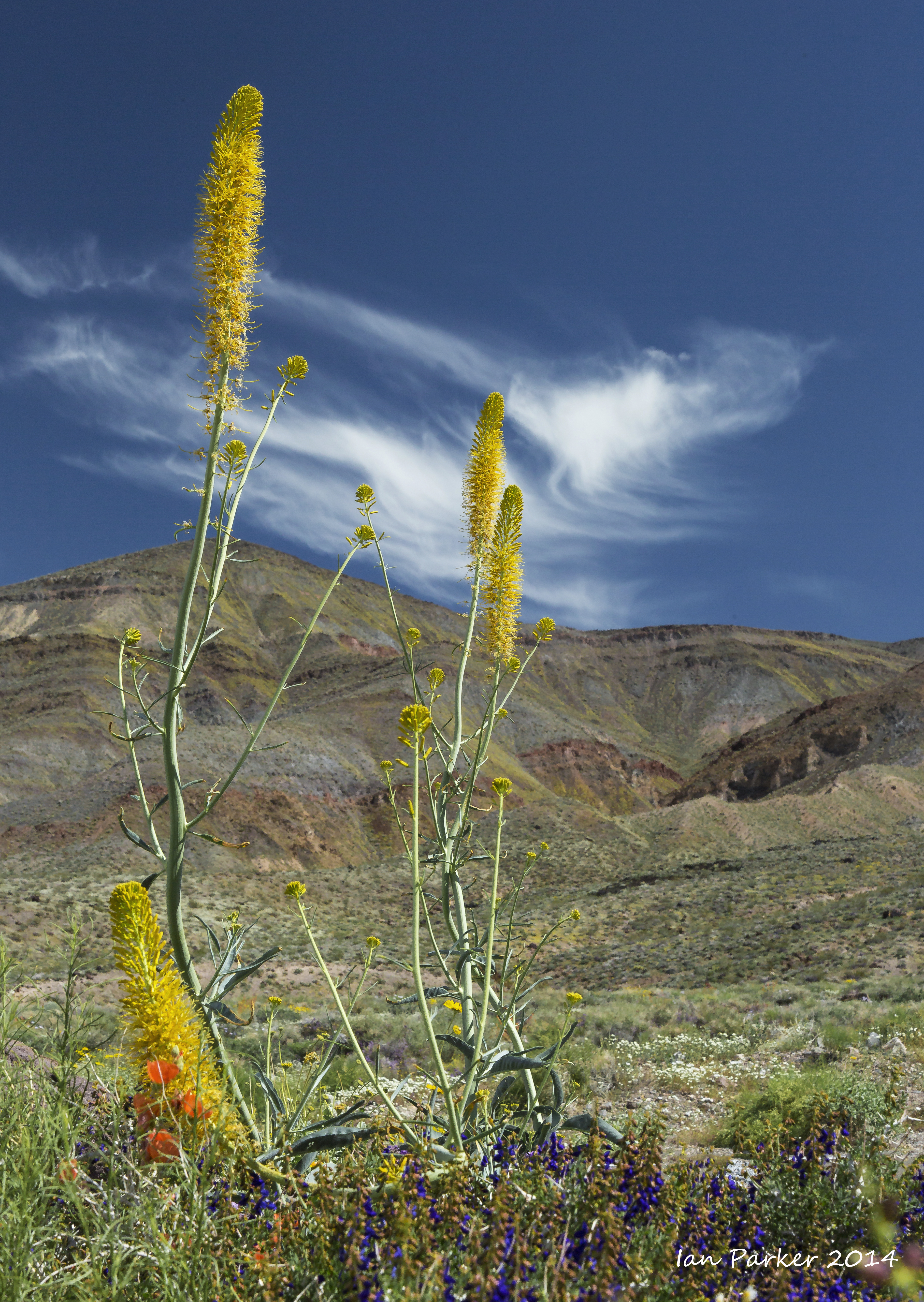
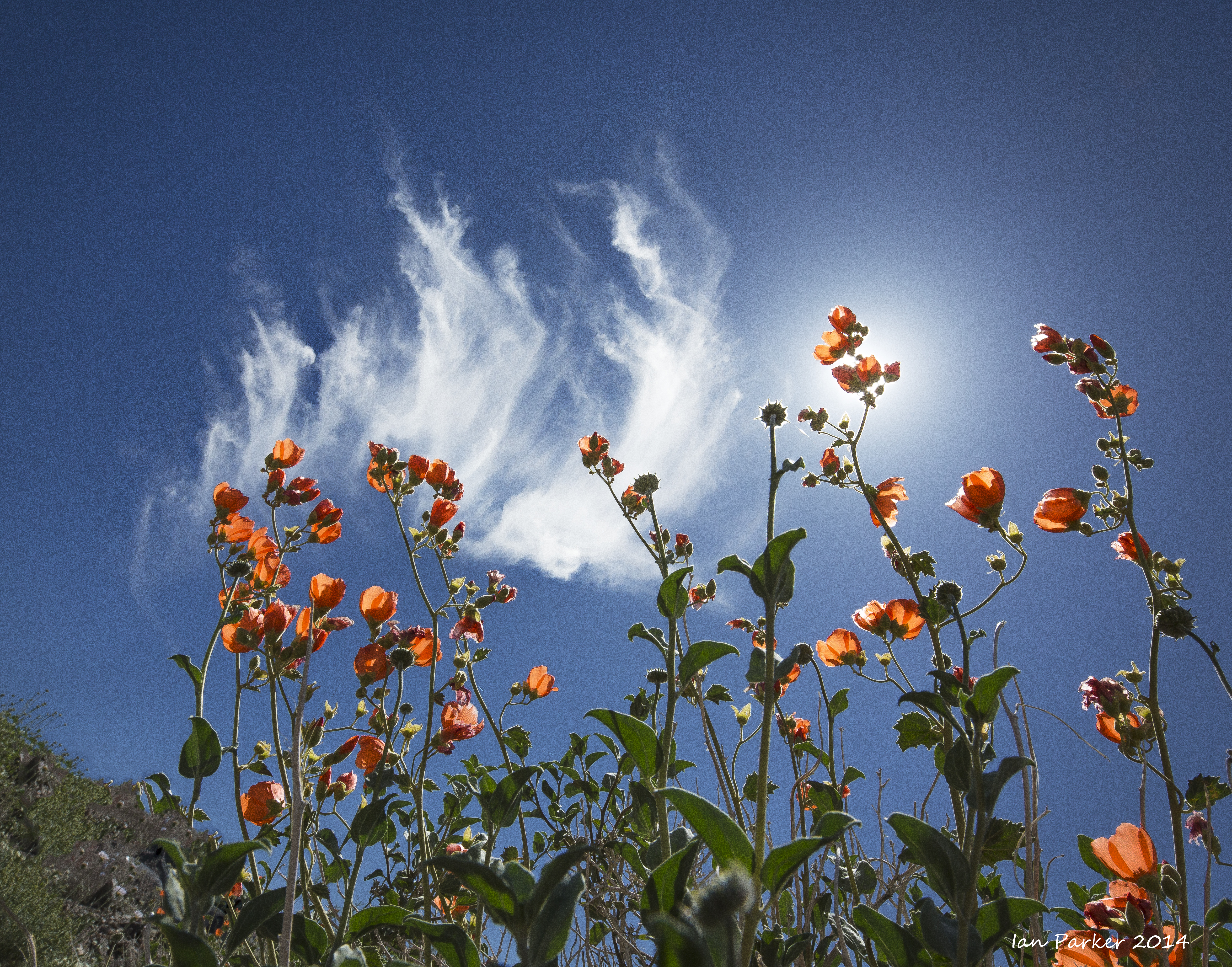
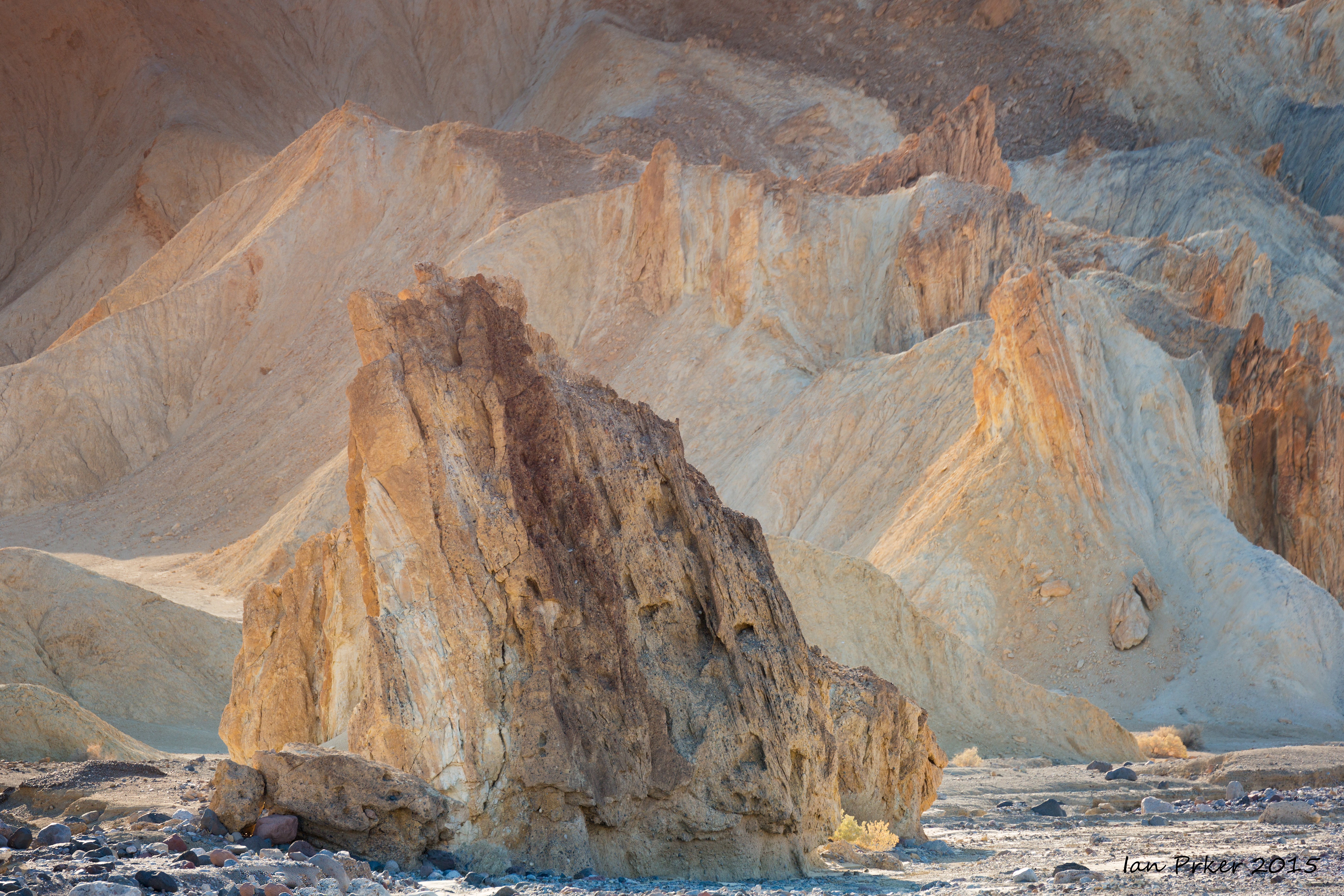
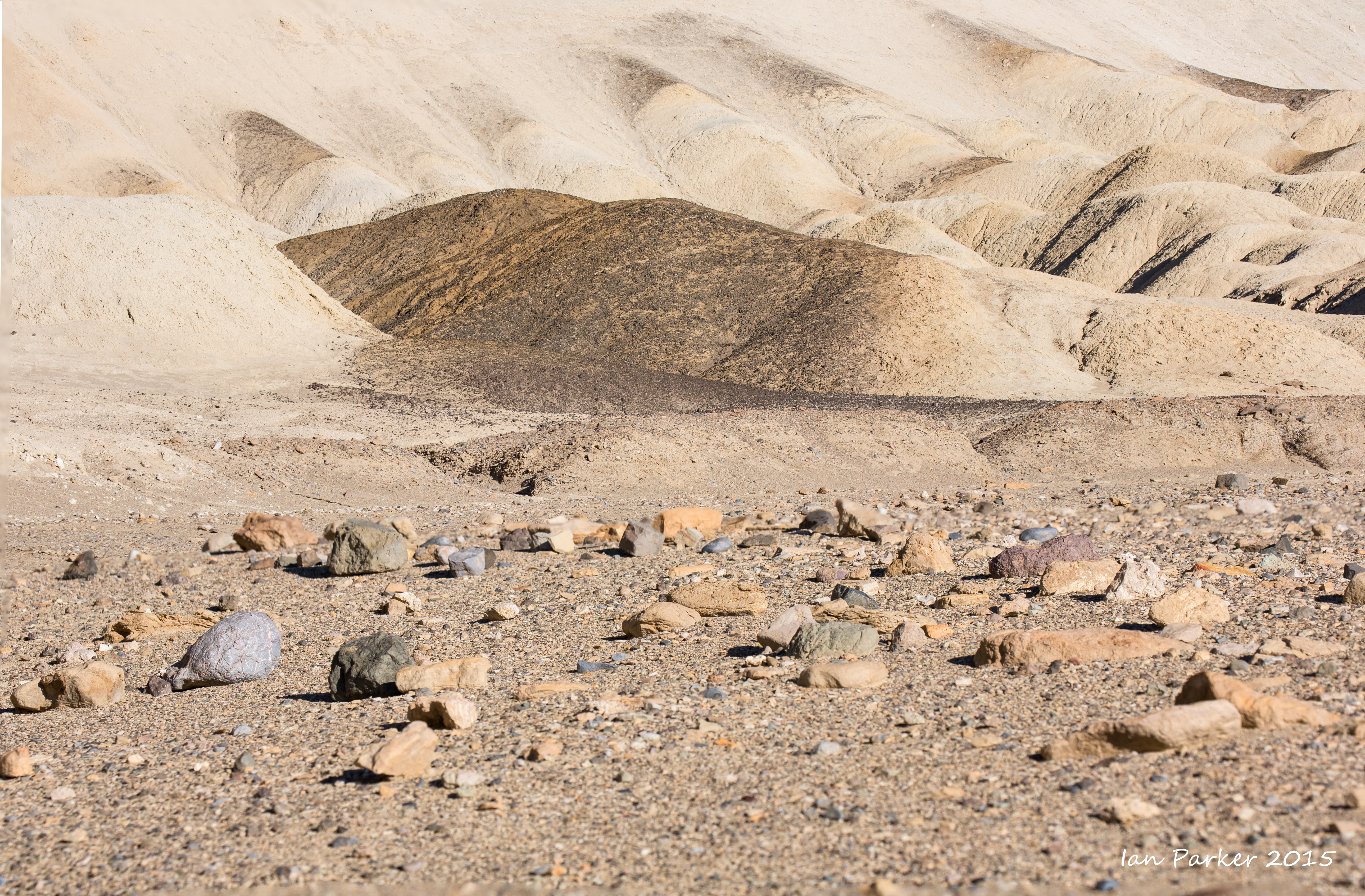
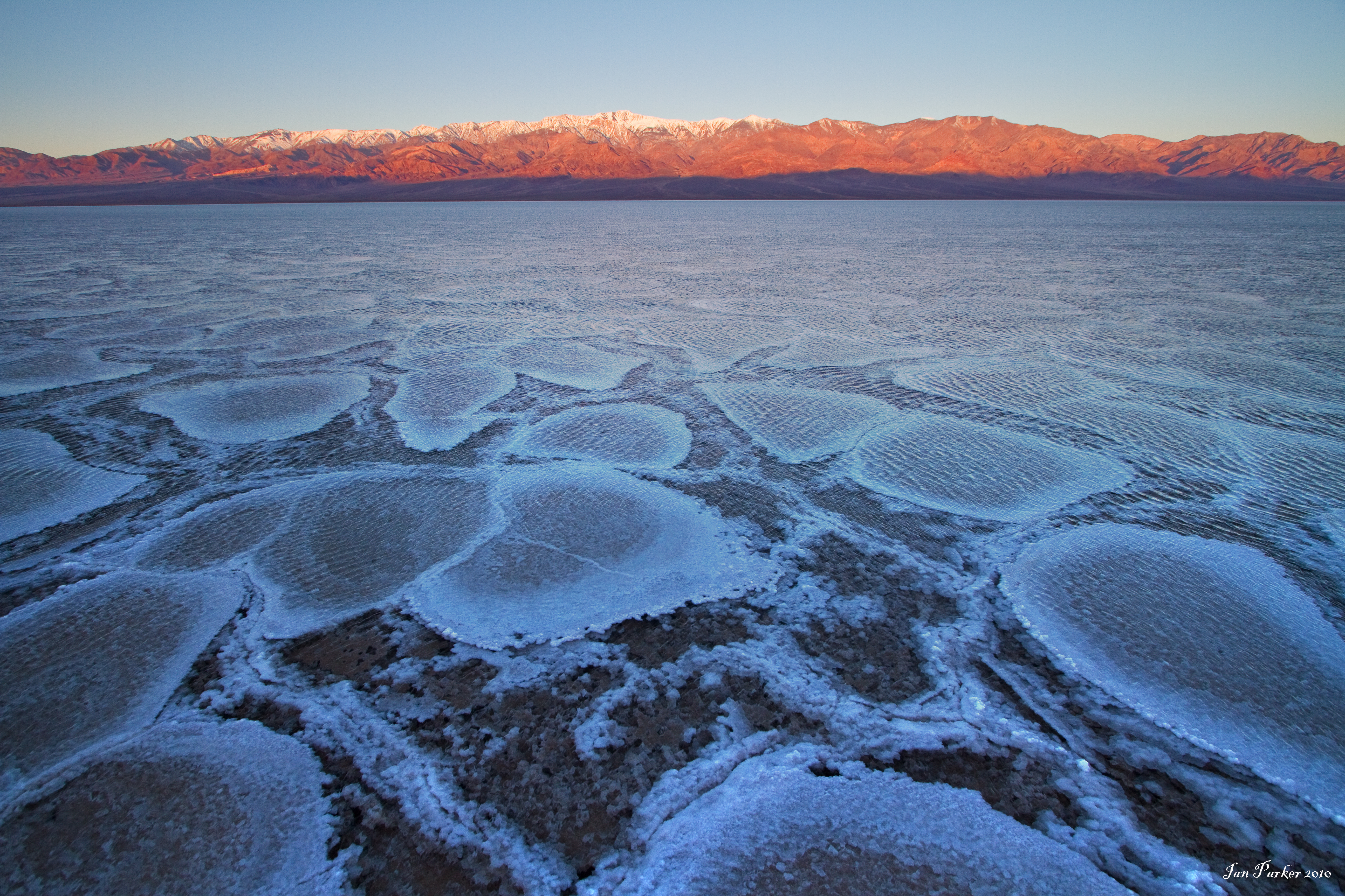
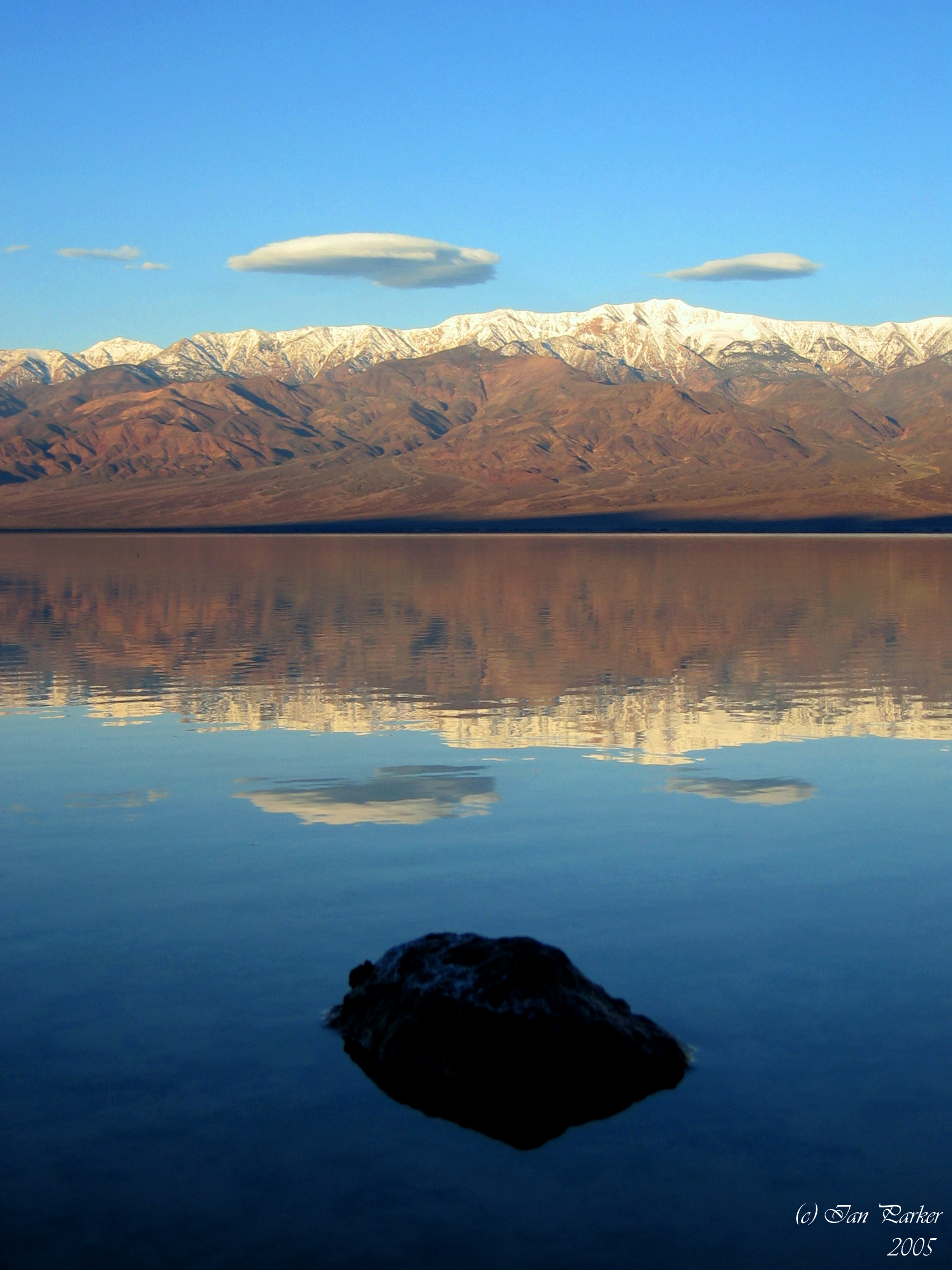
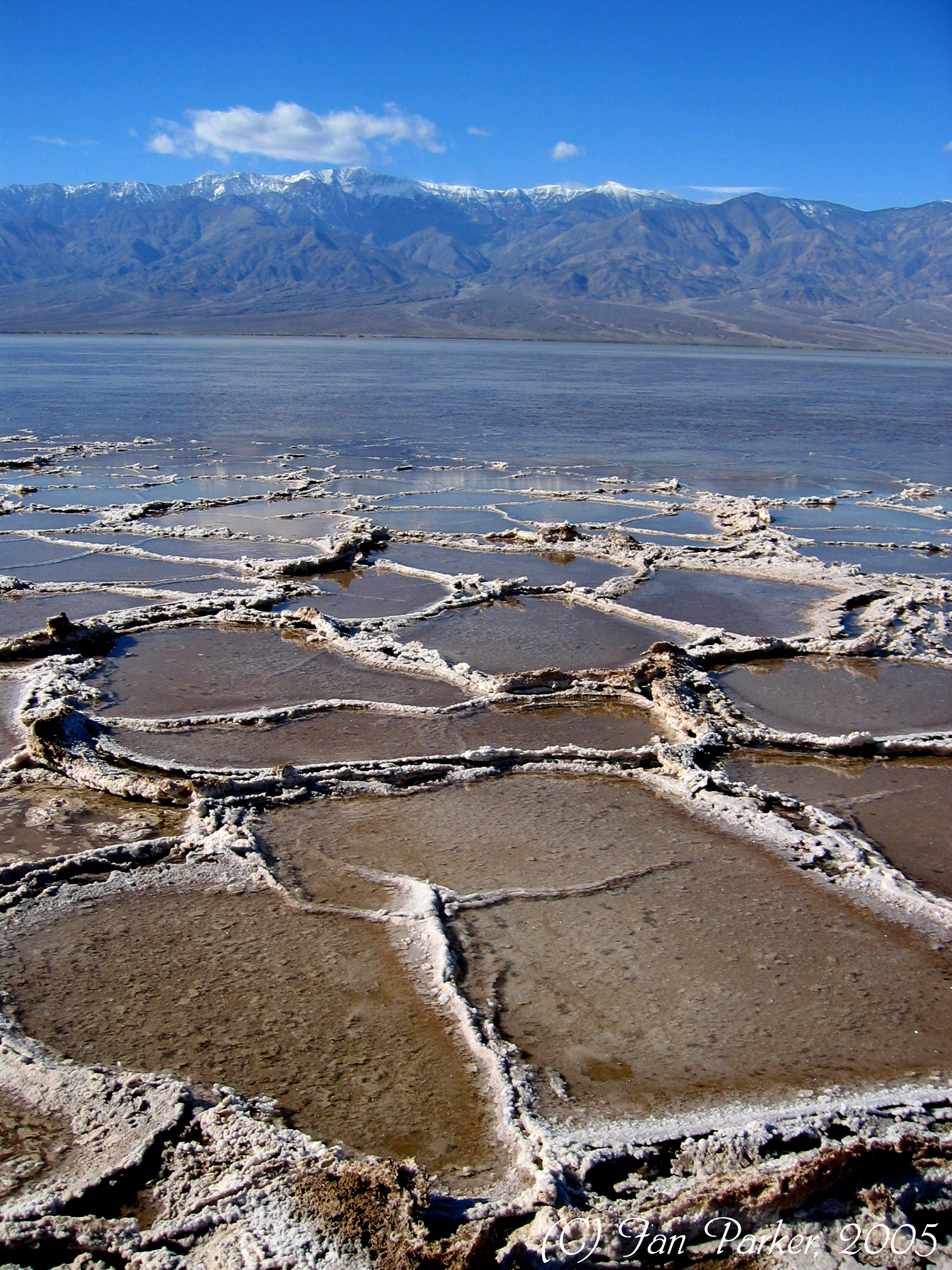
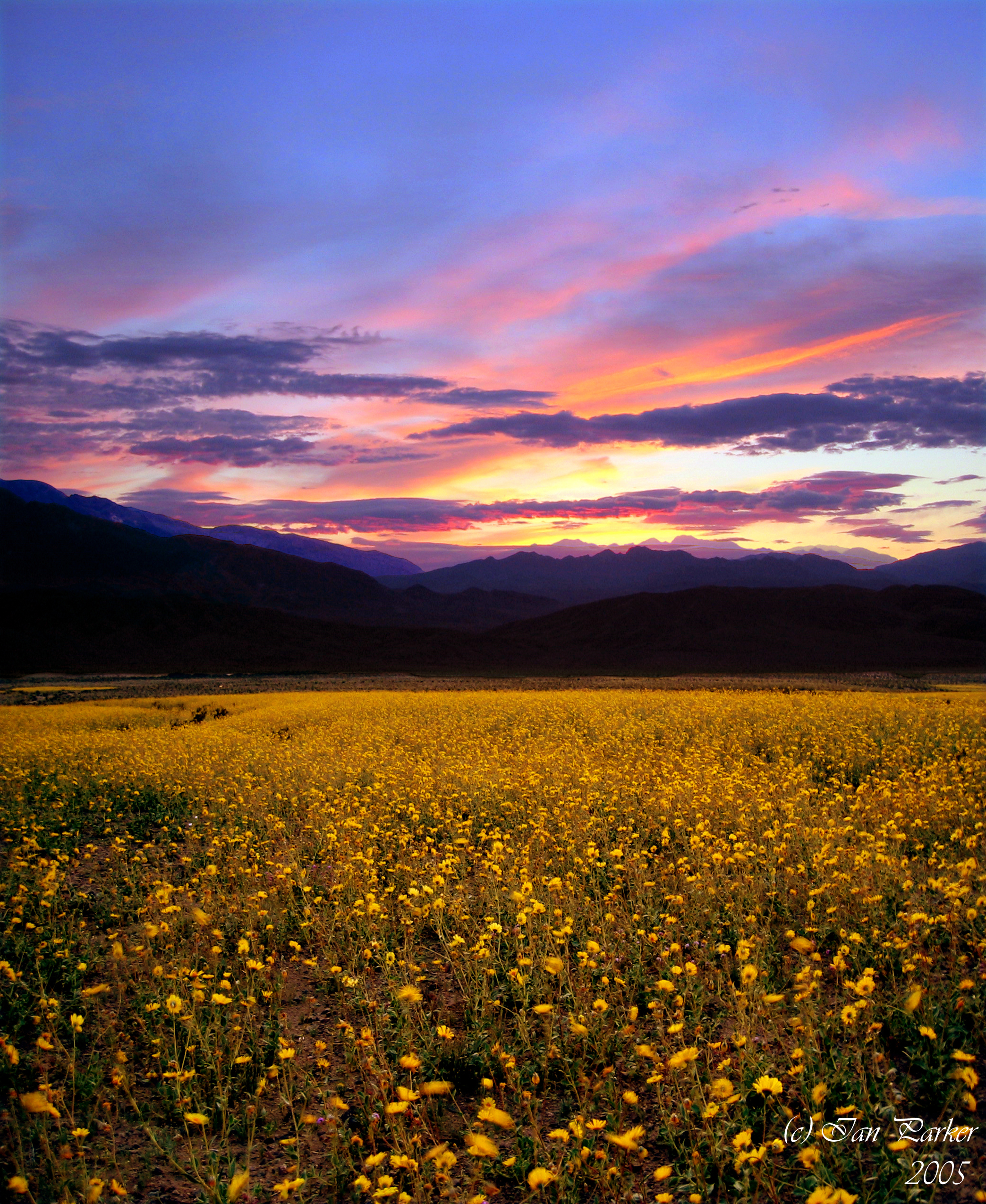
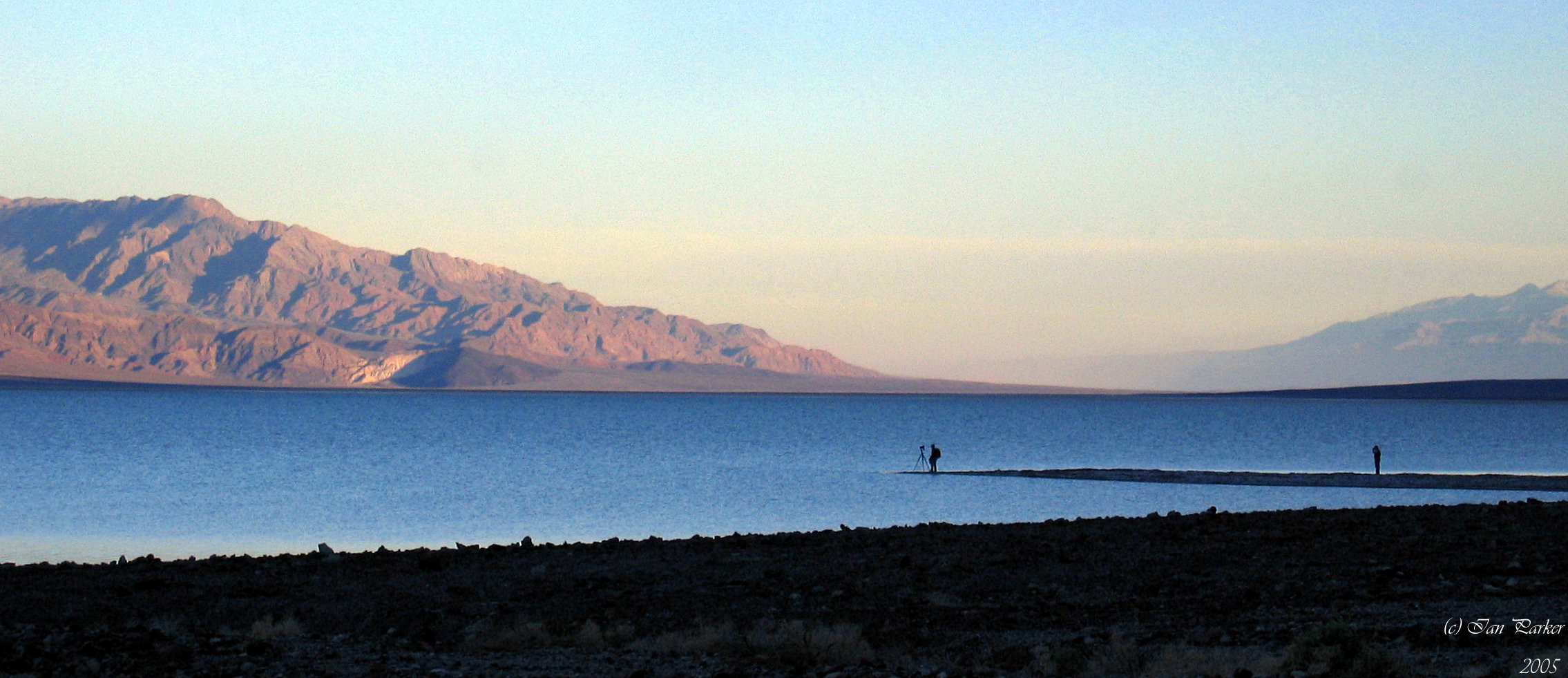
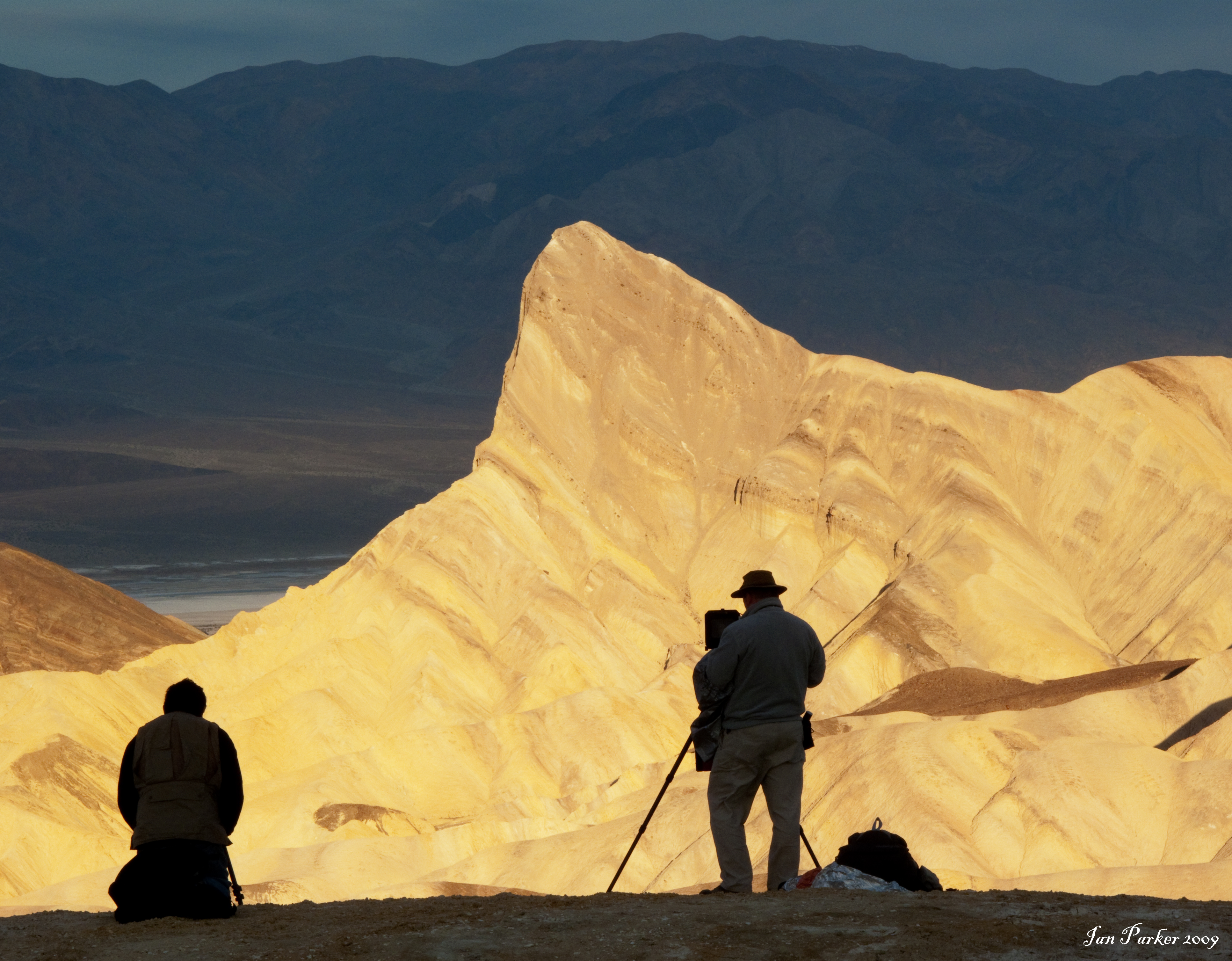
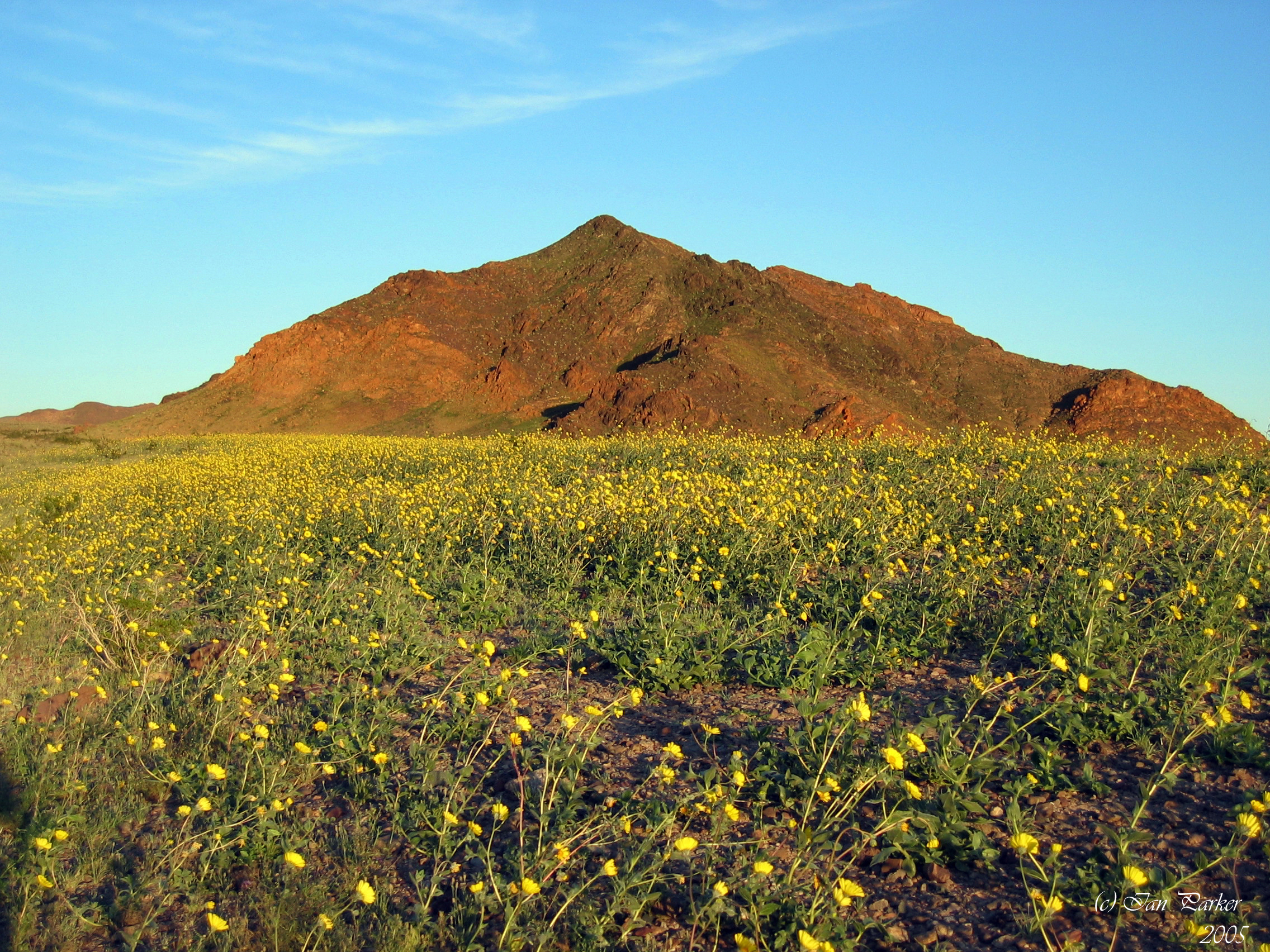
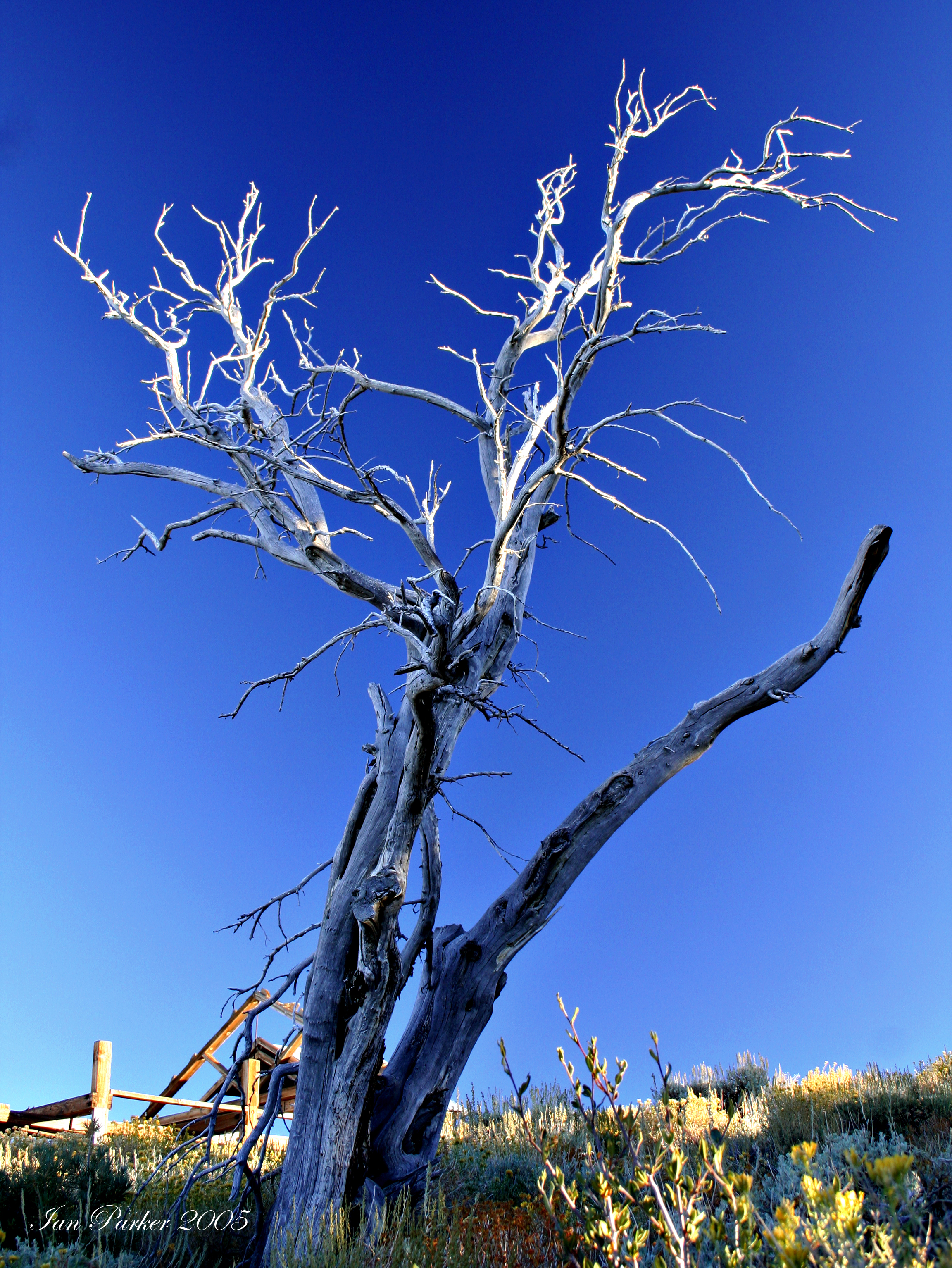
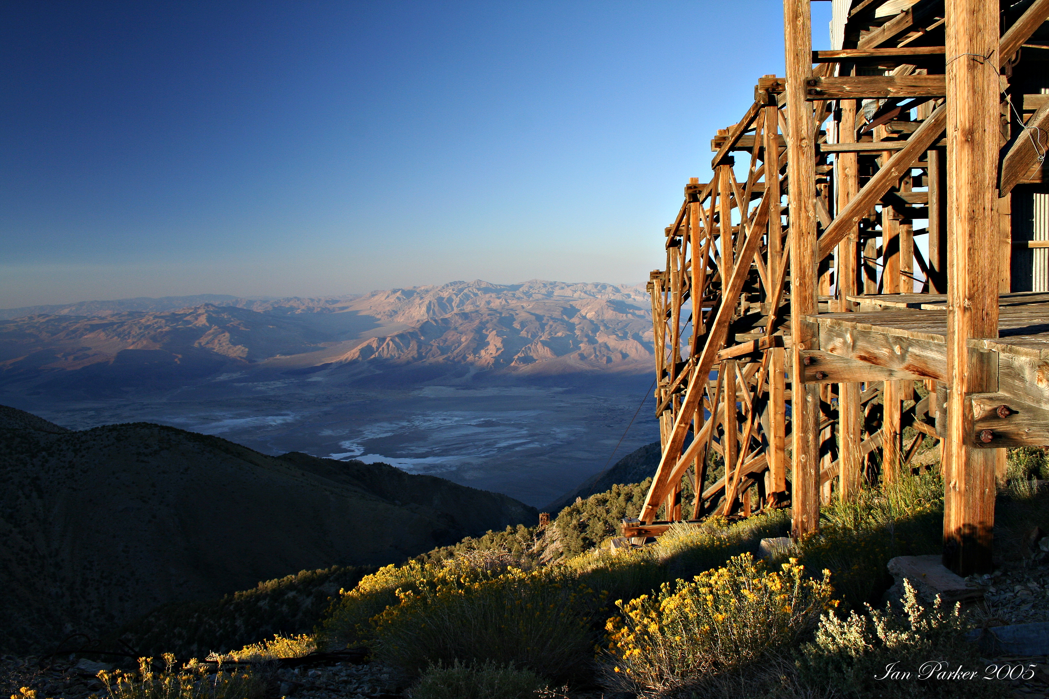
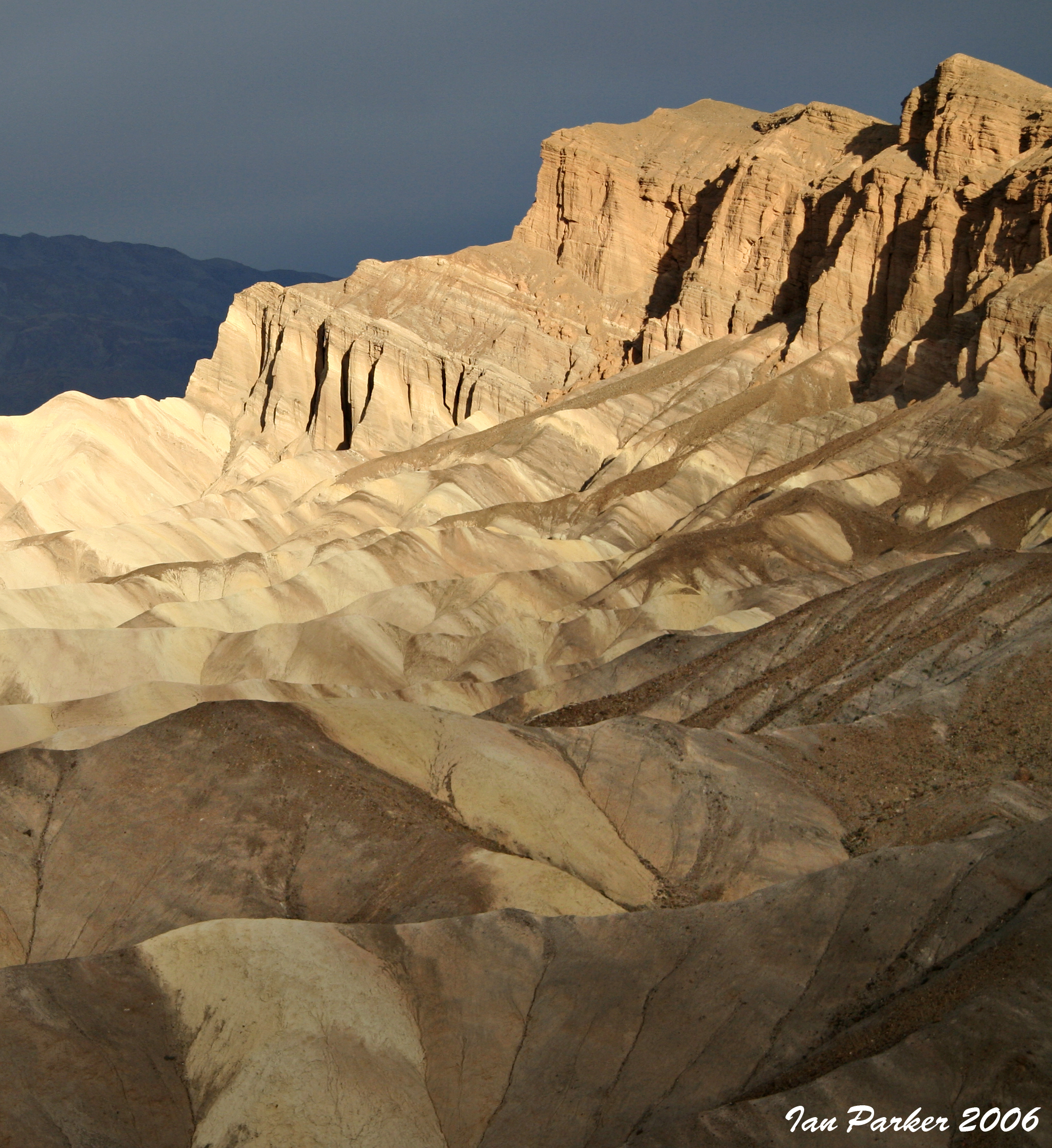
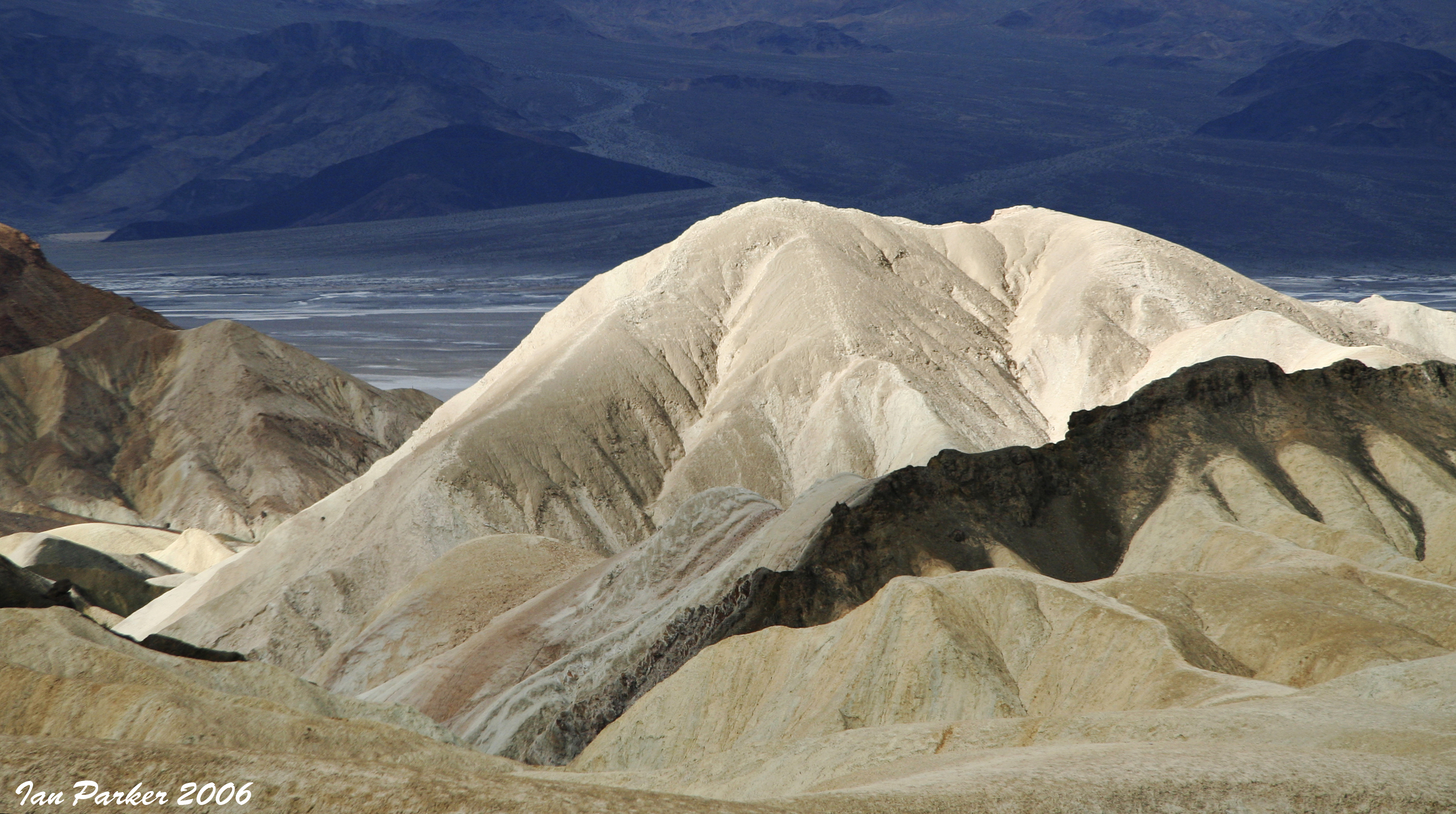
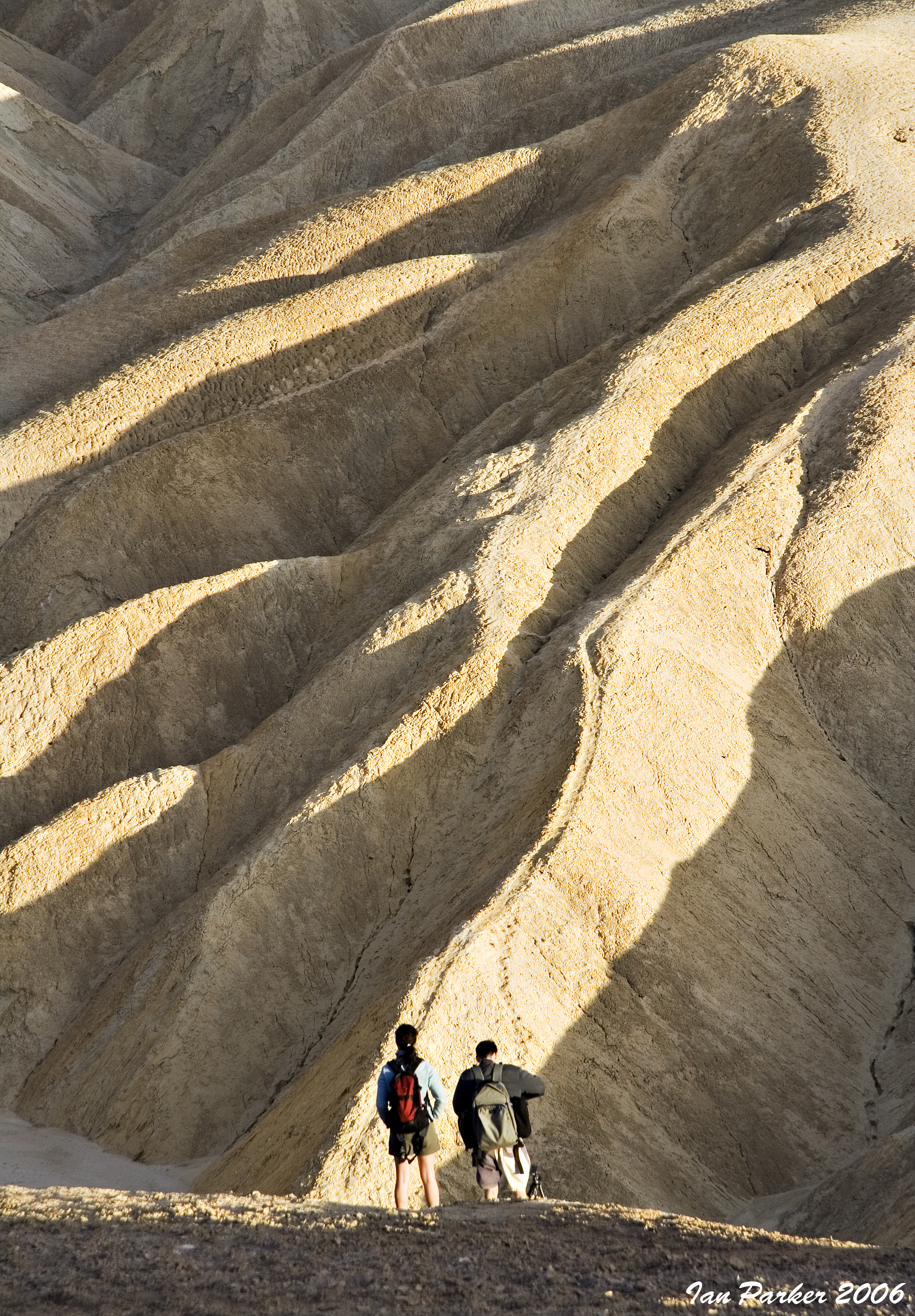
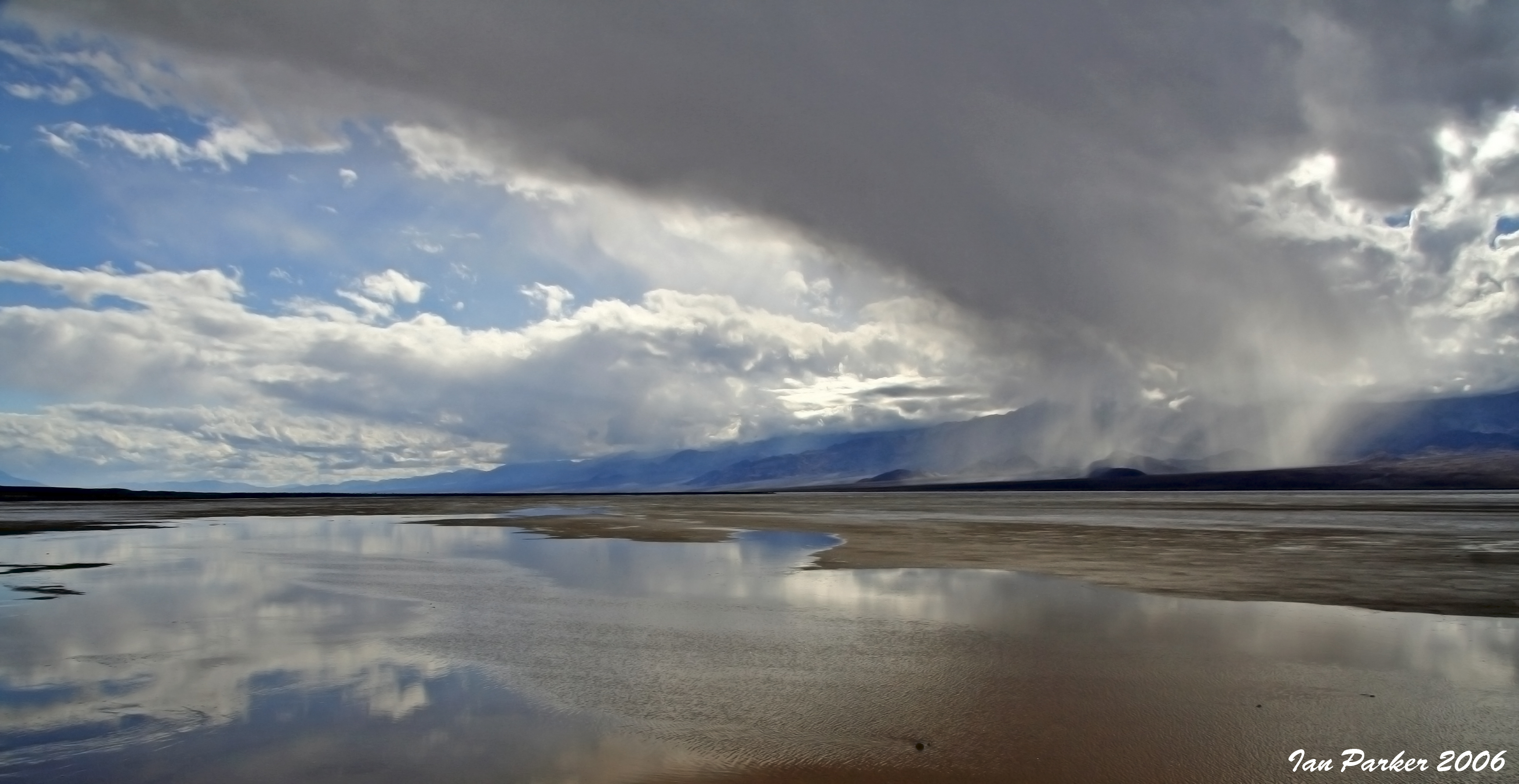
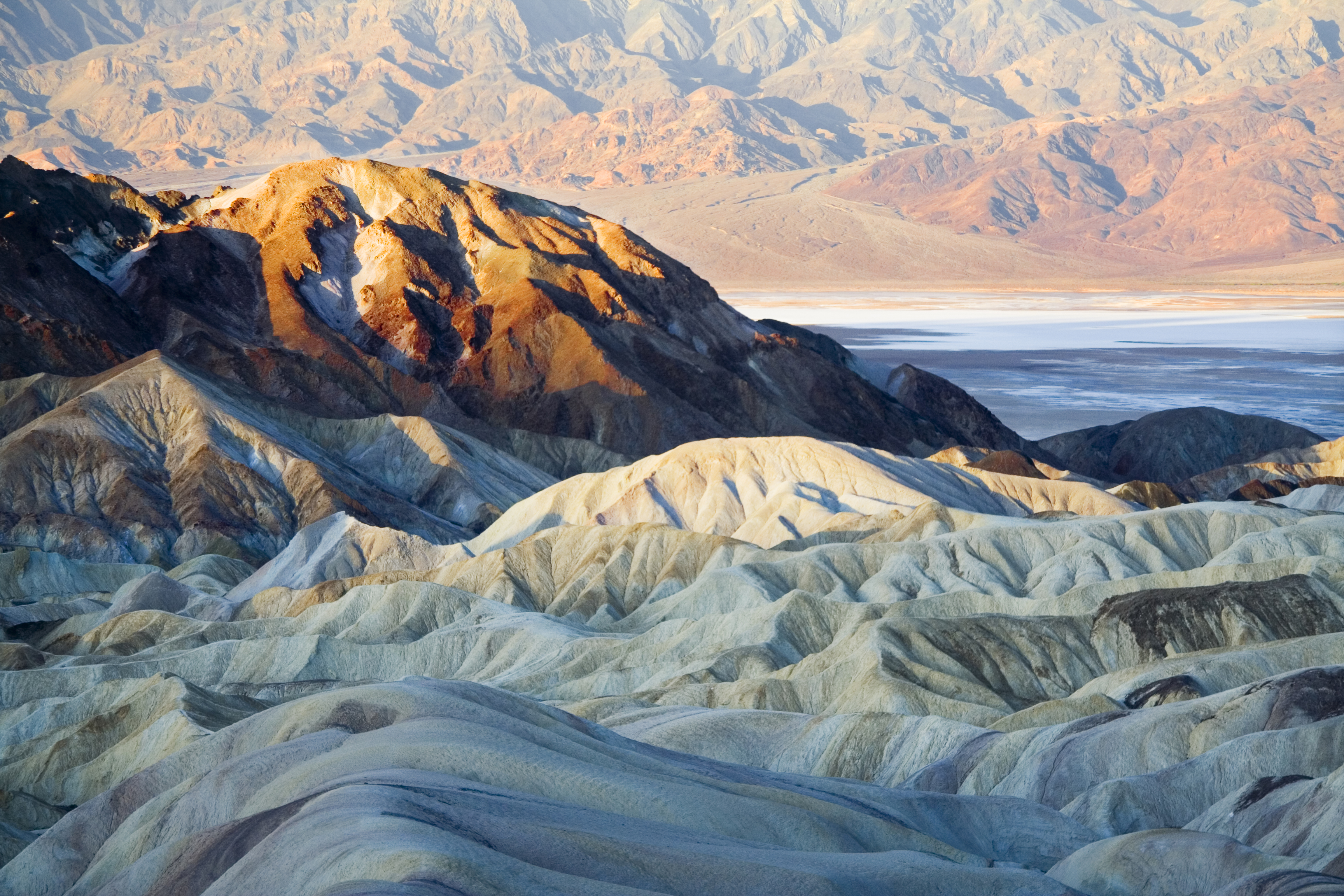
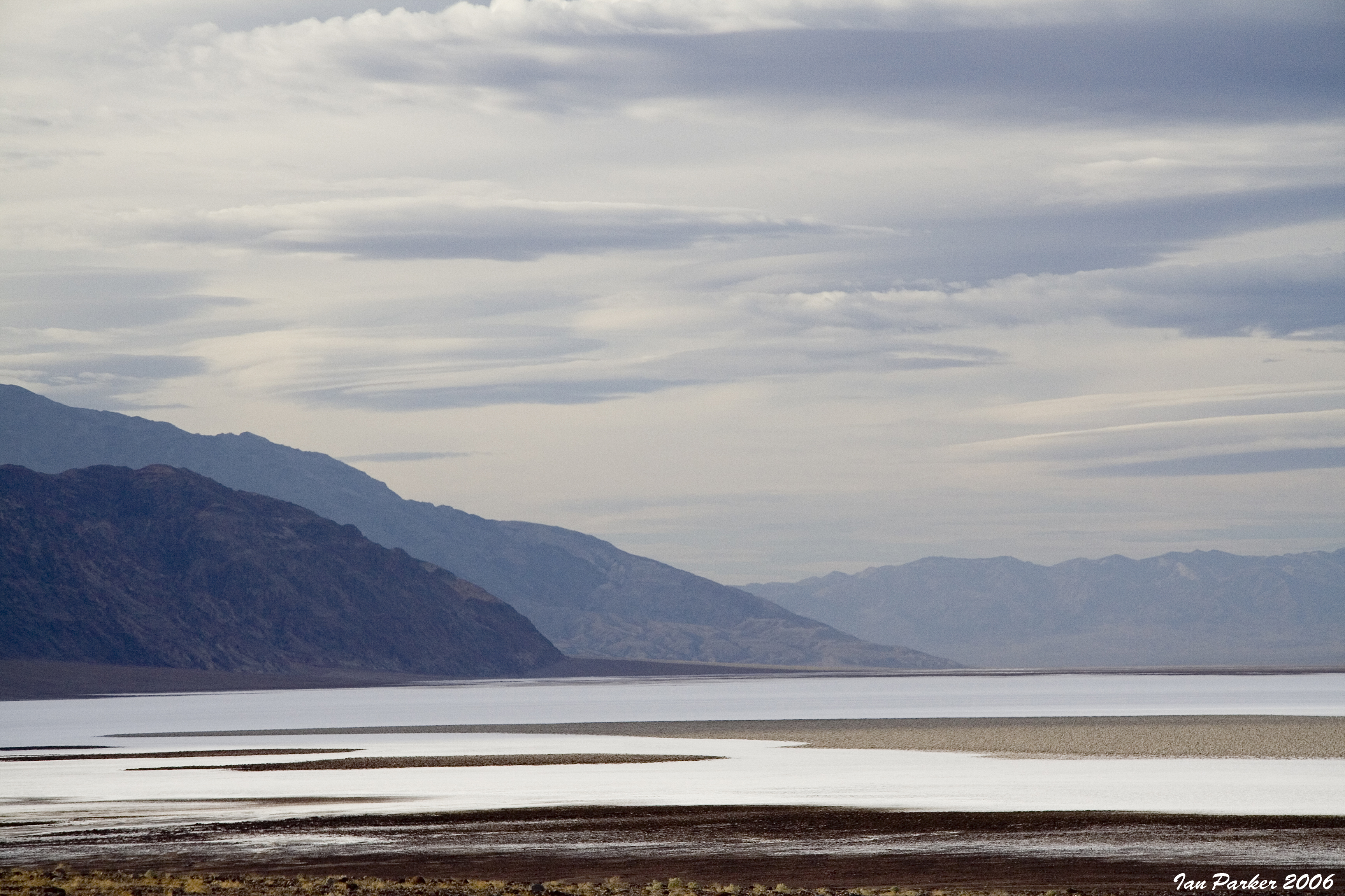
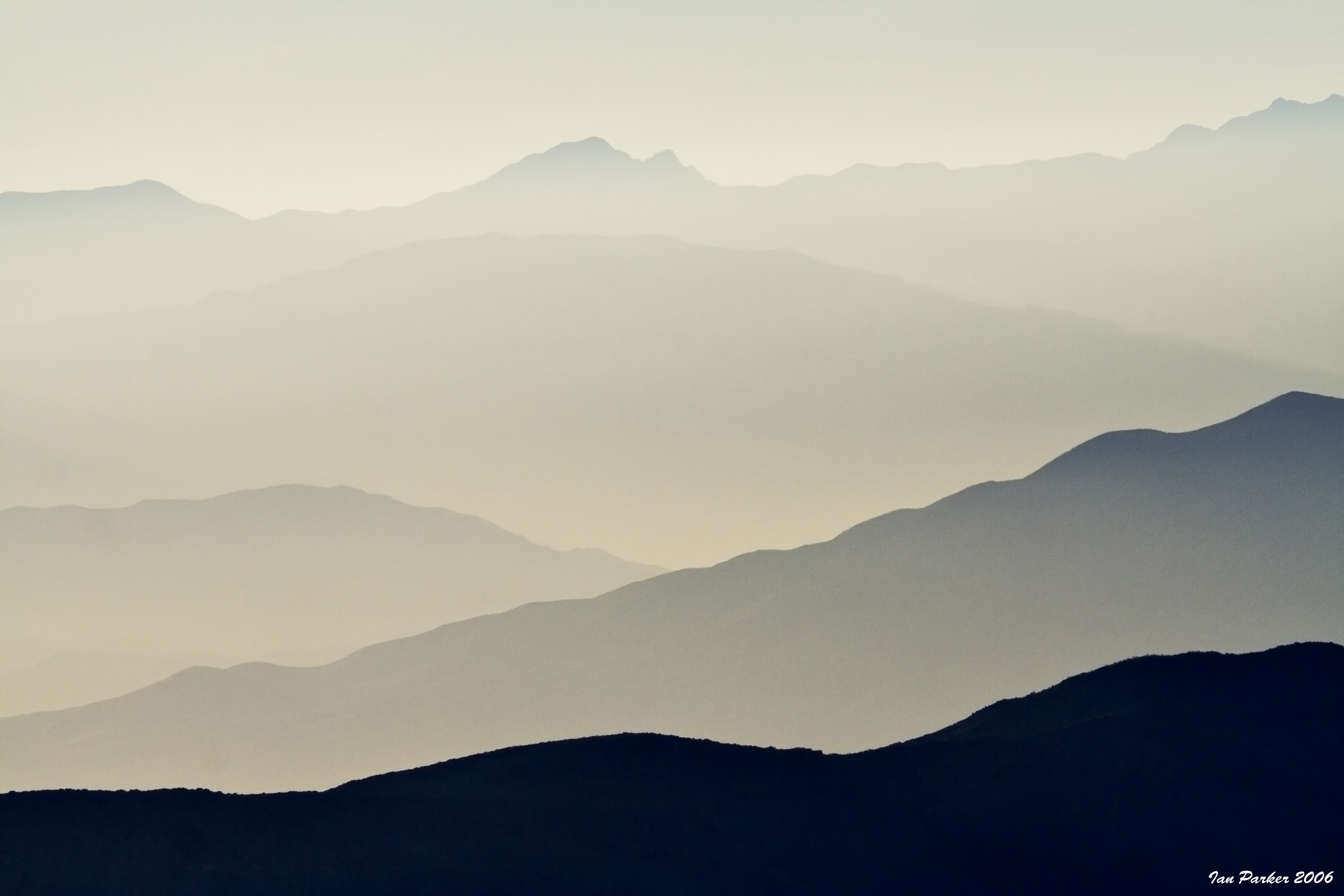
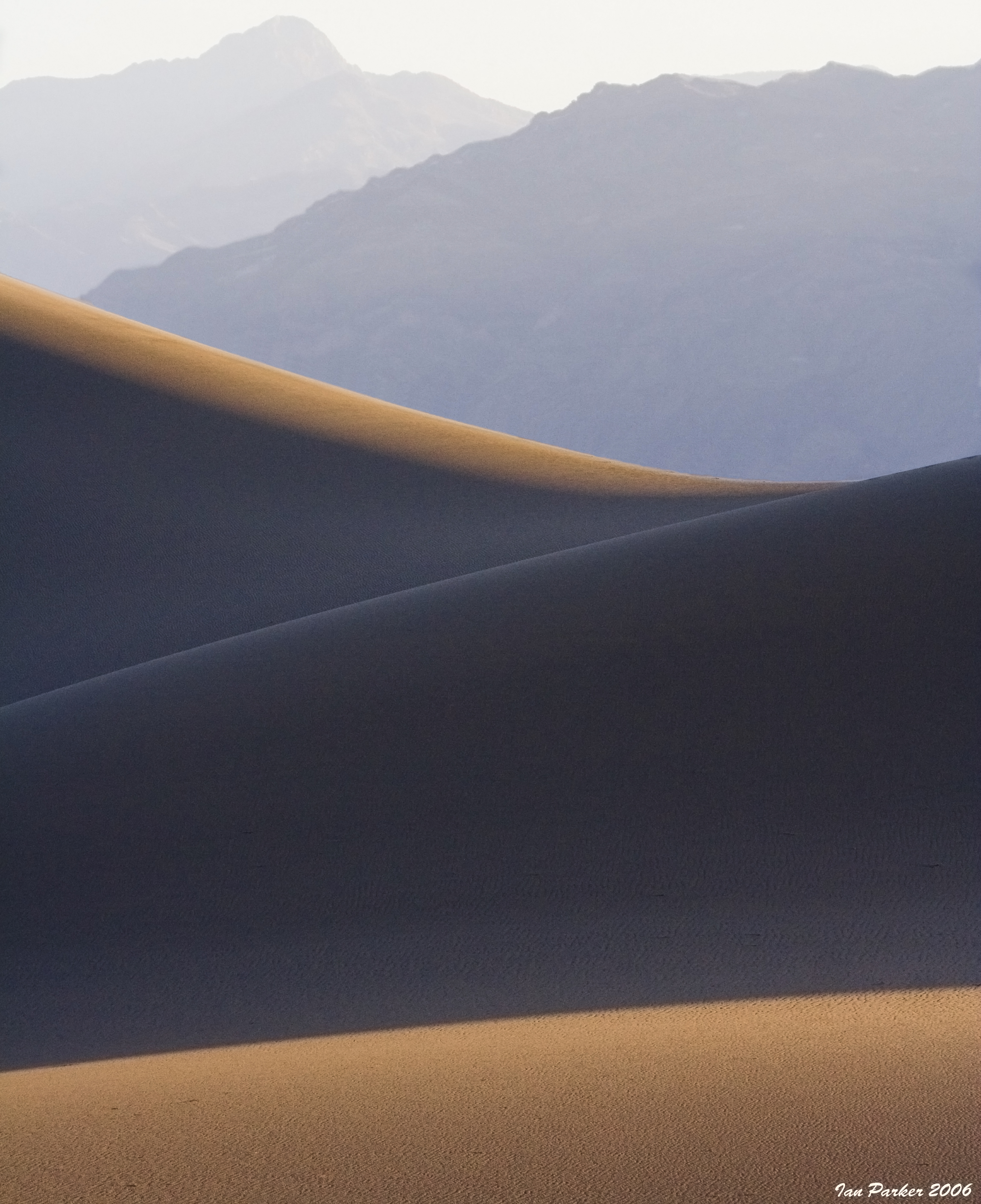
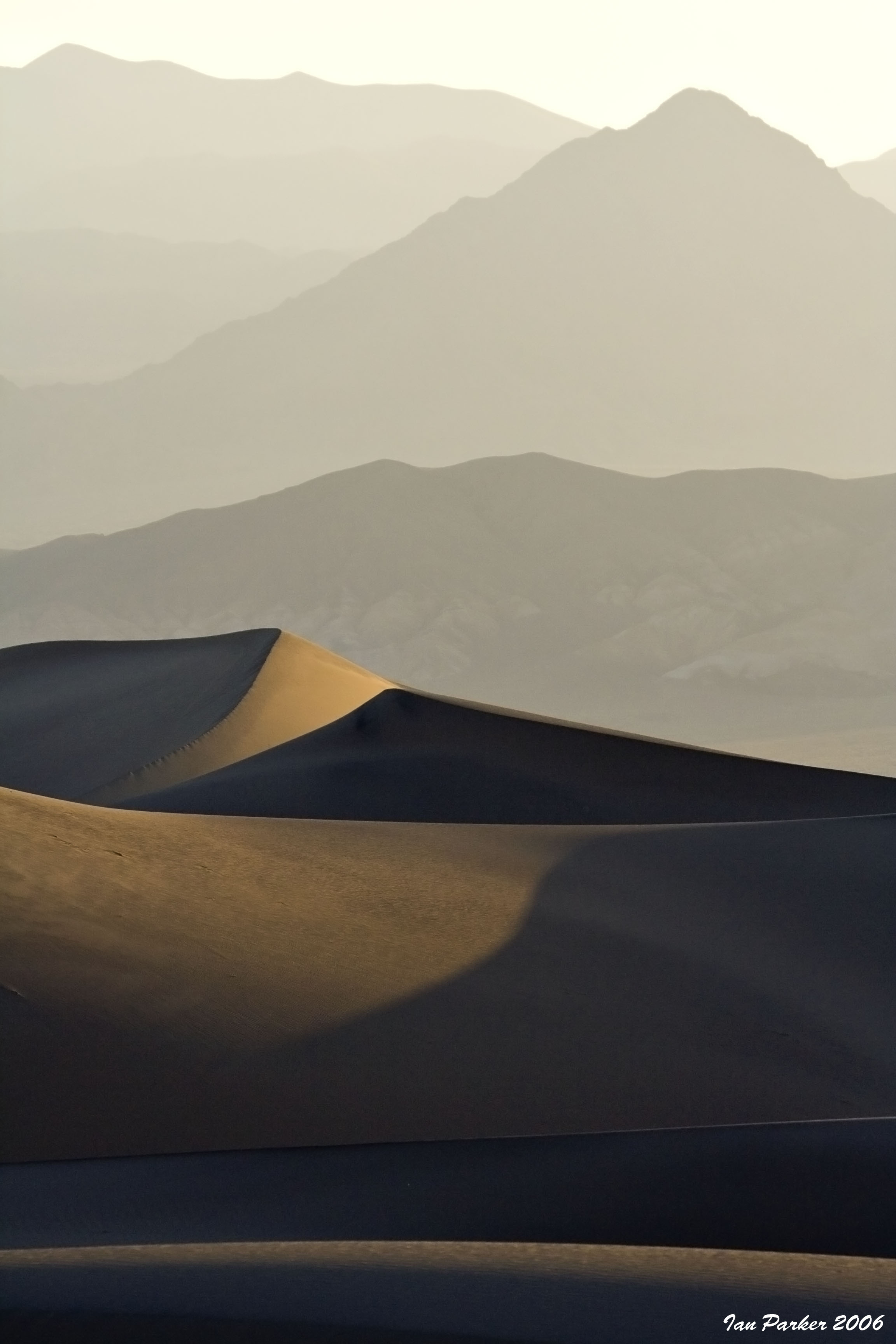
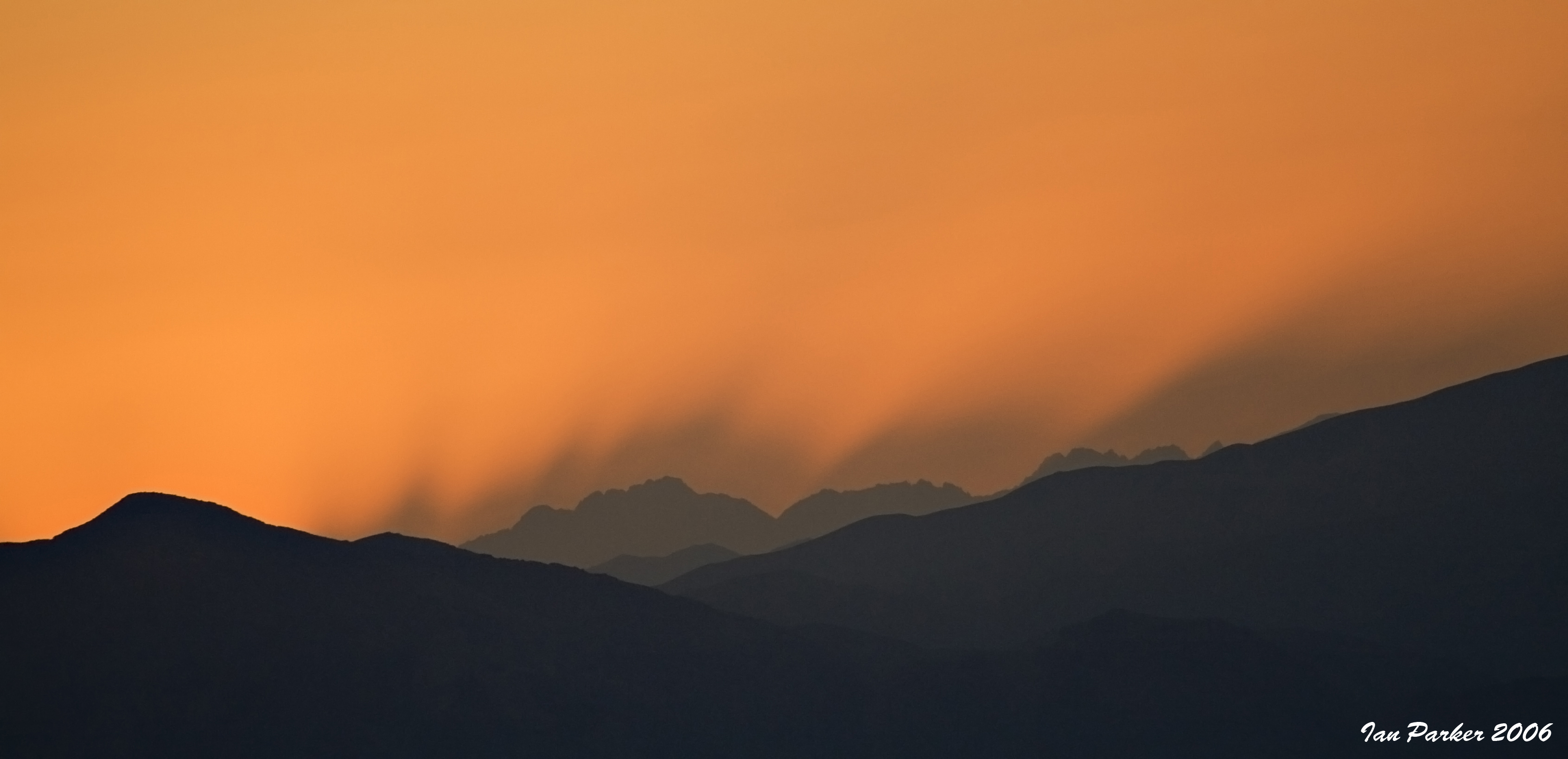
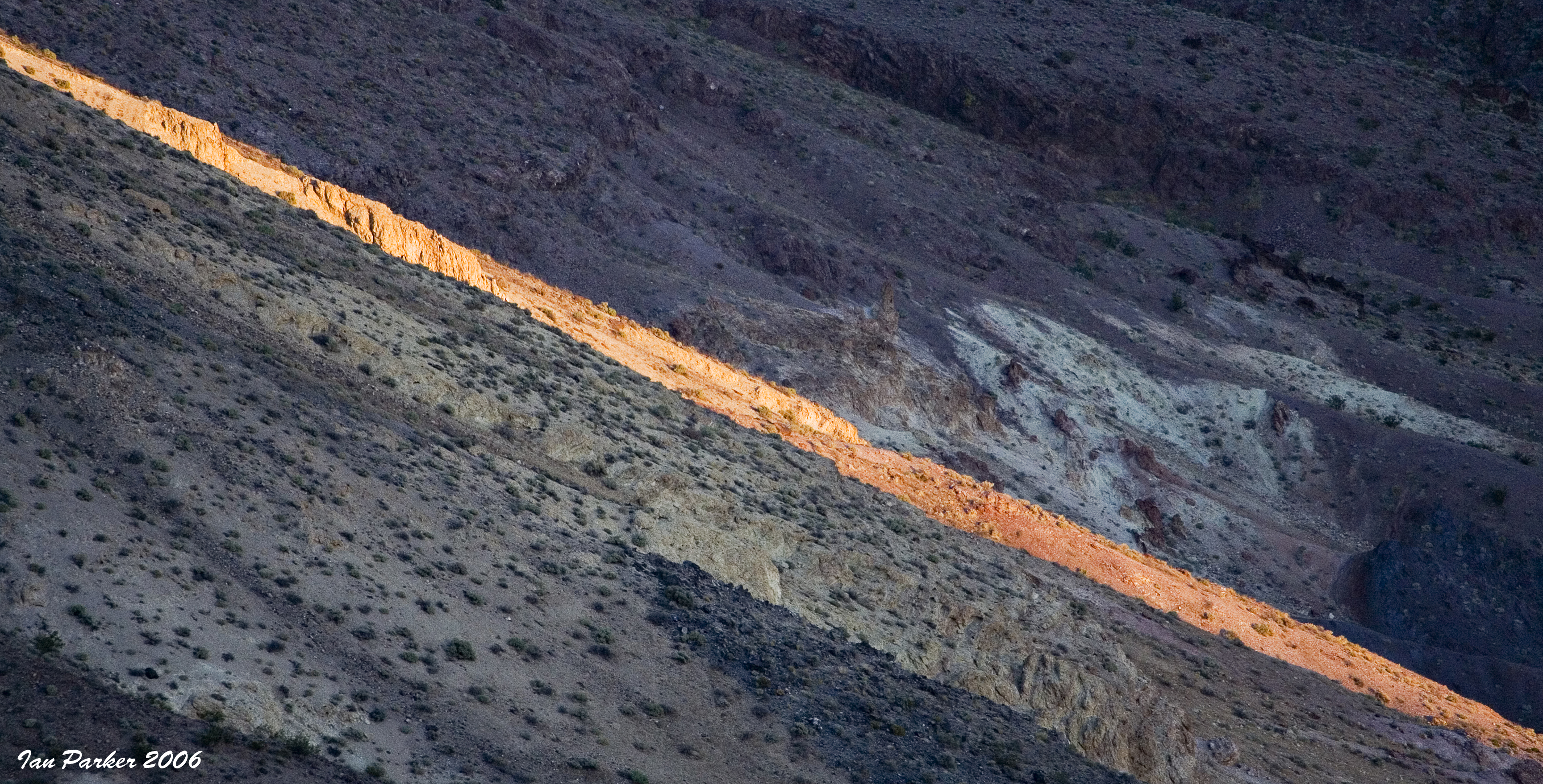
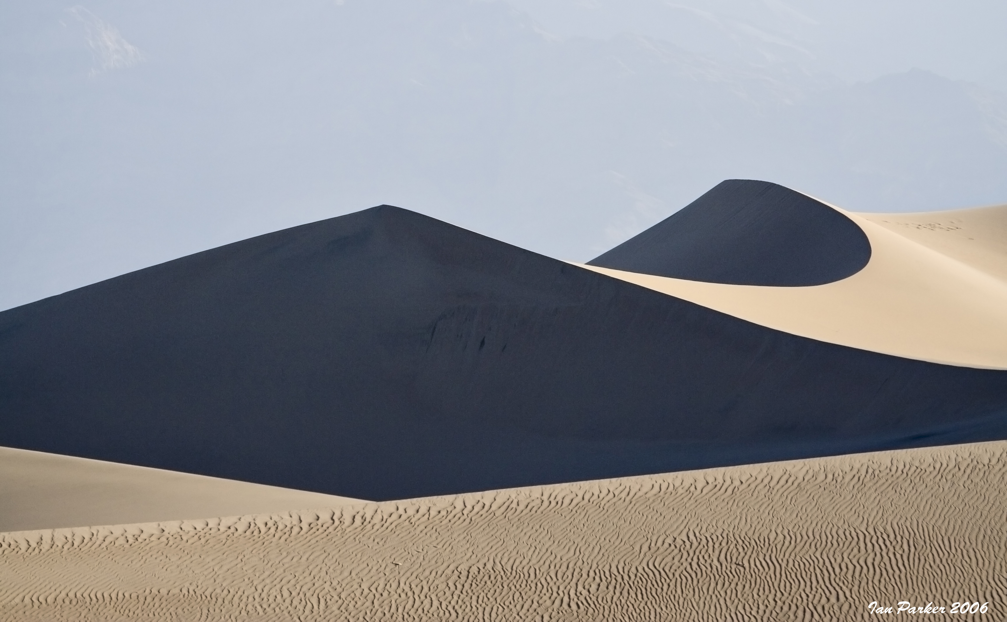
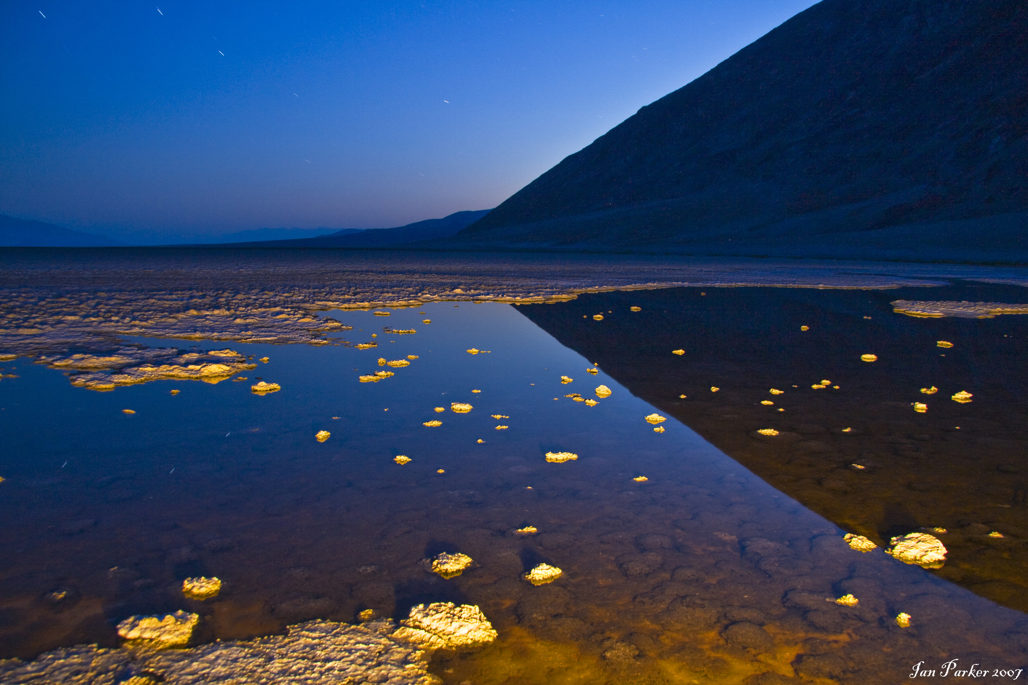
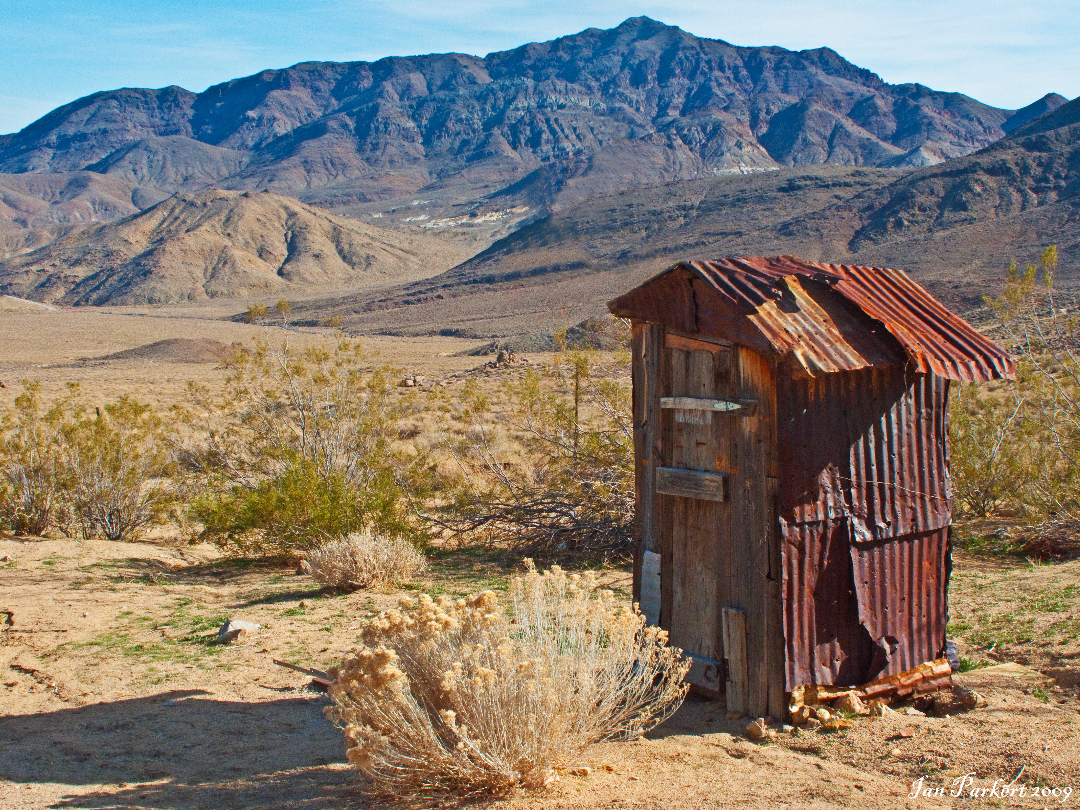
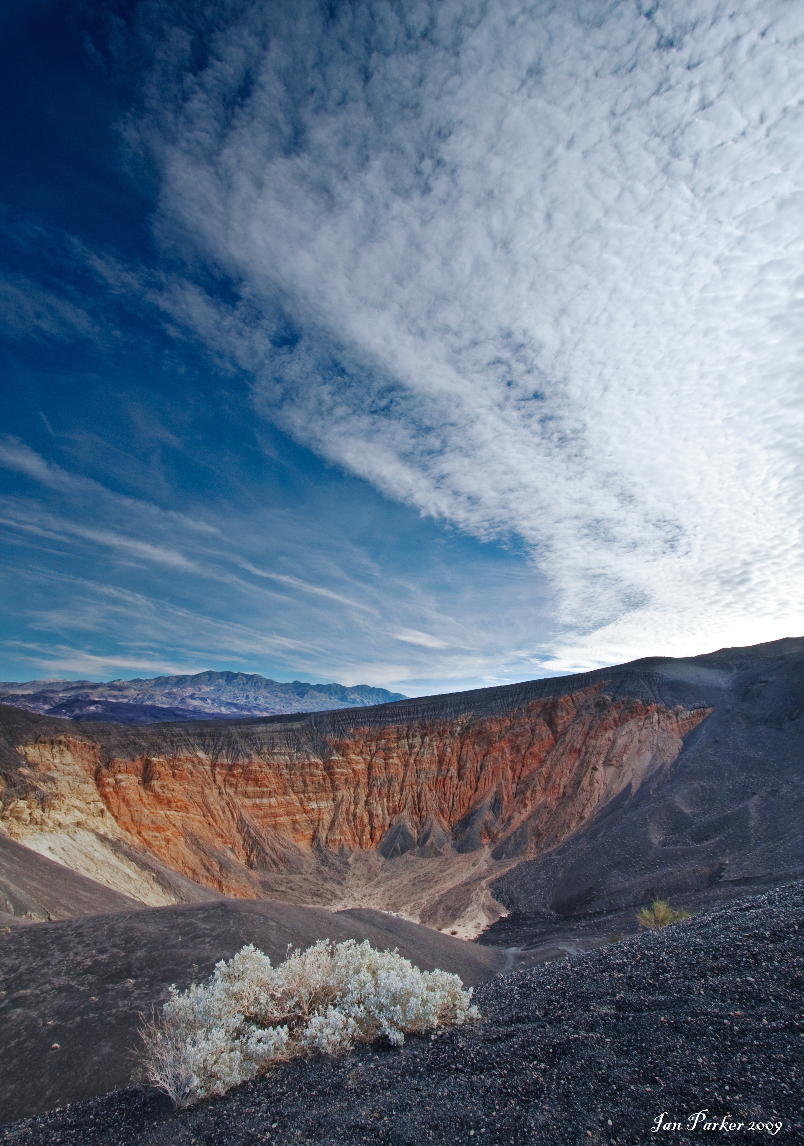
The lowest point in the US, and the place with the most consistently high temperatures on the planet. I know!. Between competing in, and training for the annual Badwater race, my feet have covered over 2000 miles in Death Valley; almost all in temperatures well above 100 Farenheit. In summer the valley has an austere beauty, with desolate salt flats and bare mountainsides shimmering in the heat haze. But just occasionally, Death Valley shows a very different, more easily appreciated aspect. Such was the case during the winter of 2004-05. Record rainfall (6 inches for the year!) filled the salt flats, and for a few months the ancient Lake Manly re-asserted itself. Water lapped at the side of the road, kayakers paddled across the lake, and the year-round salty pools at Badwater paled into insignificance. Some of the photos here show the salt flats as they became submerged in November 04, and others show the lake at its maximum extent in Feb. 05. After the rains came the flowers, an exuberant display, that was not rivaled again for 11 years. Some of the pictures here show the valley floor carpeted for miles with Desert Gold and other blooms, captured during a visit in mid-March 2005. Six weeks later all had returned to barren dirt and rocks, with only withered stalks remaining. Other photos were taken in March of 2010, when the Badwater salt flats were again briefly innundated. Then there was a long wait until the el Nino winter of 2015-16 again brought rains to germinate long-dormant seeds.


Click HERE to view photos from the 2016 Death Valley "super-bloom".

Click HERE for photos of the Badwater Ultramarathon


In normal years, people see miles of salt flats at Badwater Basin. In some areas, the salt is fractured and uplifted into photogenic polygon shapes. However, every few years there is enough rain to cover the salt flat and create a temporary lake, informally known as Lake Manly. Usually, it is only a couple inches deep. Lake Manly returned after the remnants of Hurricane Hilary brought 2.2 inches of rain in August 2023. The lake slowly shrunk until an atmospheric river brought another 1.5 inches in early February.  For almost a month, people had a rare opportunity to kayak on Lake Manly, which was six miles long, three miles wide, and one foot deep.


Badwater Panorama


Death Valley Flowers Panorma (3.15.2005)


Telescope Peak reflections and salt hexagons; Badwater Basin, Death Valley National Park (stitched high-res panorama)


Lenticular clouds above Telescope peak

Badwater salt flats, Death Valley

Death Valley flowers at Sunset


Mountain moonrise, Death Valley

Death Valley, flowers


Baker - The world's tallest thermometer (before the lights went off)


last updated 03/07/2024

IanParker
1146 McGaugh Hall
University of California,
Irvine, CA 92697

Please send enquiries to evanescentlightphotography@gmail.com

BACK TO >
Parkerlab >
Evanescent Light Galleries Home Page