
evanescent: fleeting, transitory
evanescent wave: a nearfield standing wave, employed for total internal reflection microscopy
For faster browsing, click on the underlined text legend below any of the thumbnail images in the galleries. Use your browser BACK button to return you to the gallery. If you find a picture you like, you can download the image at full original resolution (usually between 10-30 Mpixels; with some panoramas >100 Mpix) by clicking on the thumbnail itself. To save a downloaded image, right click on it and scroll to 'save picture as...'. To use an image as your desktop background, right click and scroll to 'set as background...'.
Visitors are welcome to download images for personal use (e.g. as computer desktop wallpaper). Click HERE to order prints online. Please contact Ian Parker at evanescentlightphotography@gmail.com regarding possible commercial use. Details of copyright, image use and licensing are HERE. |
|
EditRegion3
| |

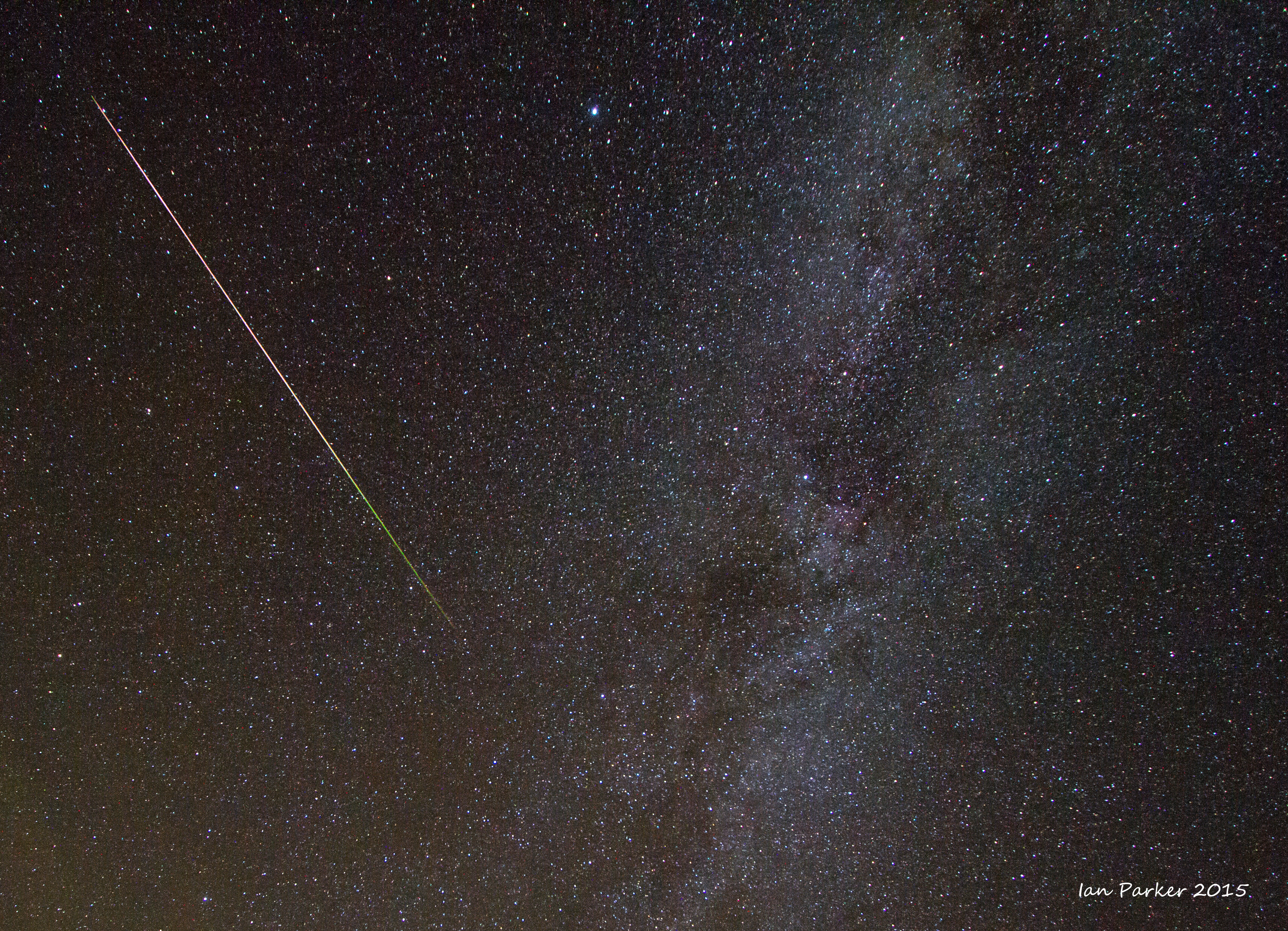
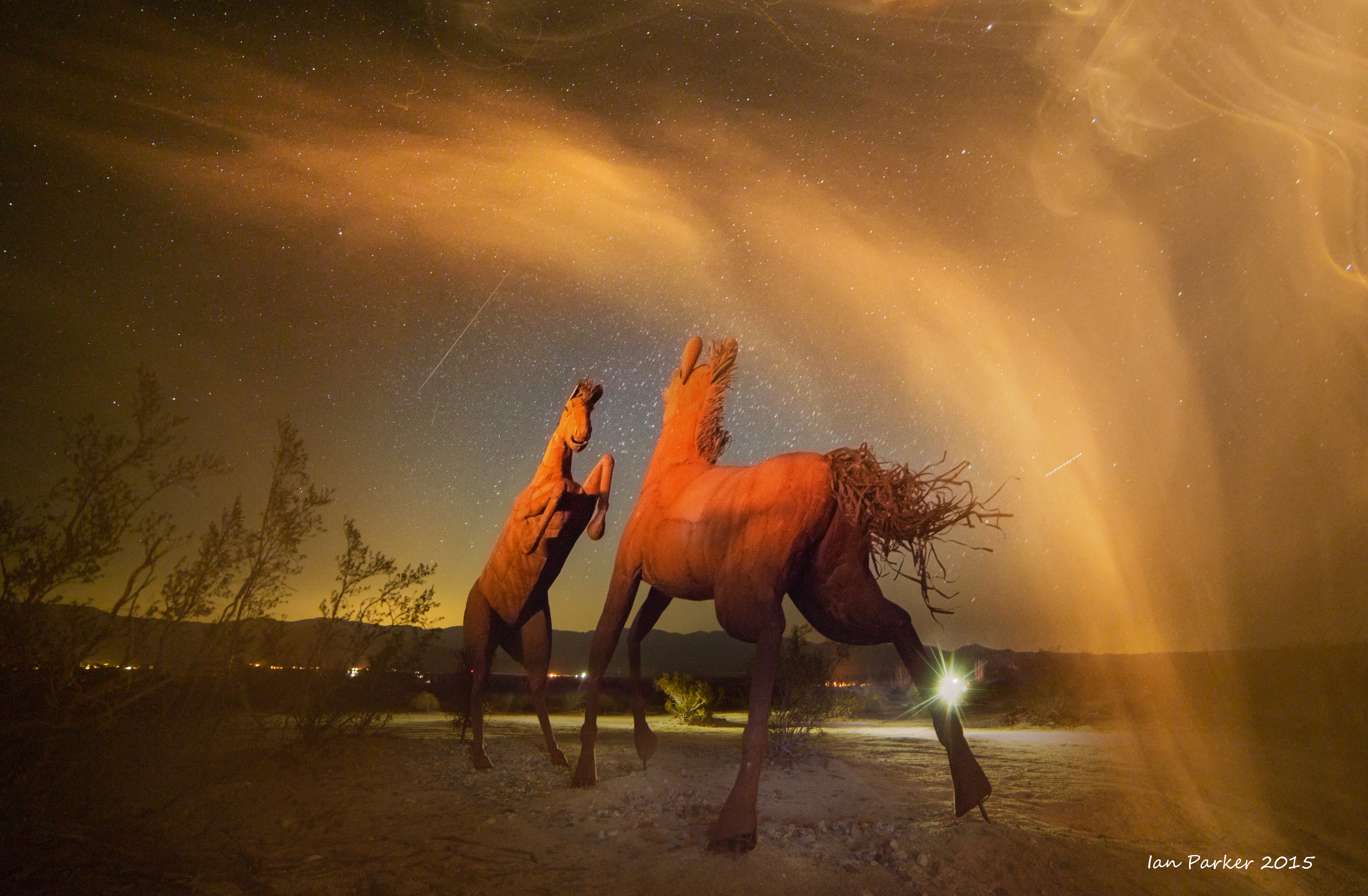
Perseid meteor shower over Ricardo Breceda sculptures; Borrego Springs; August 13, 2015
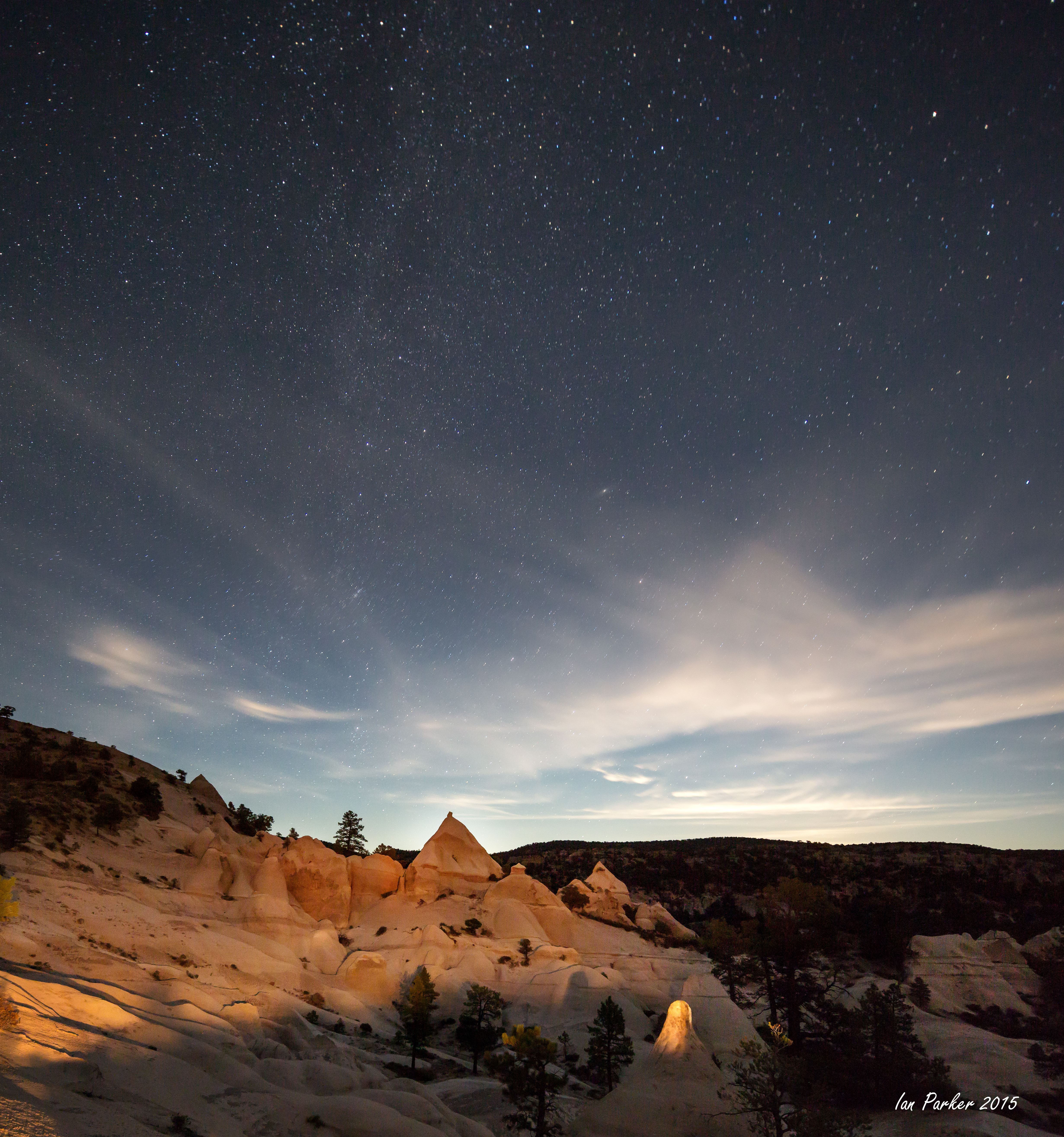
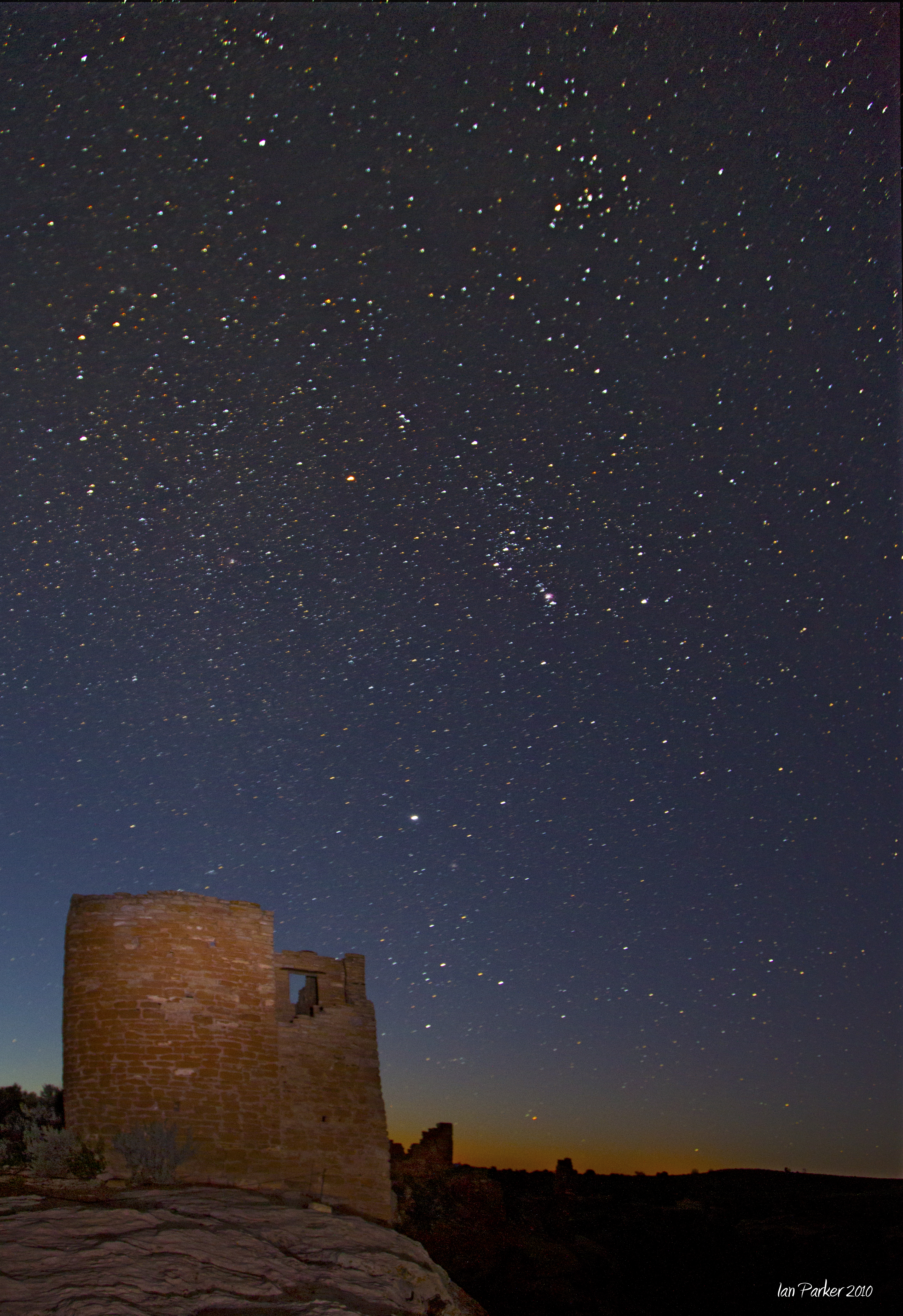
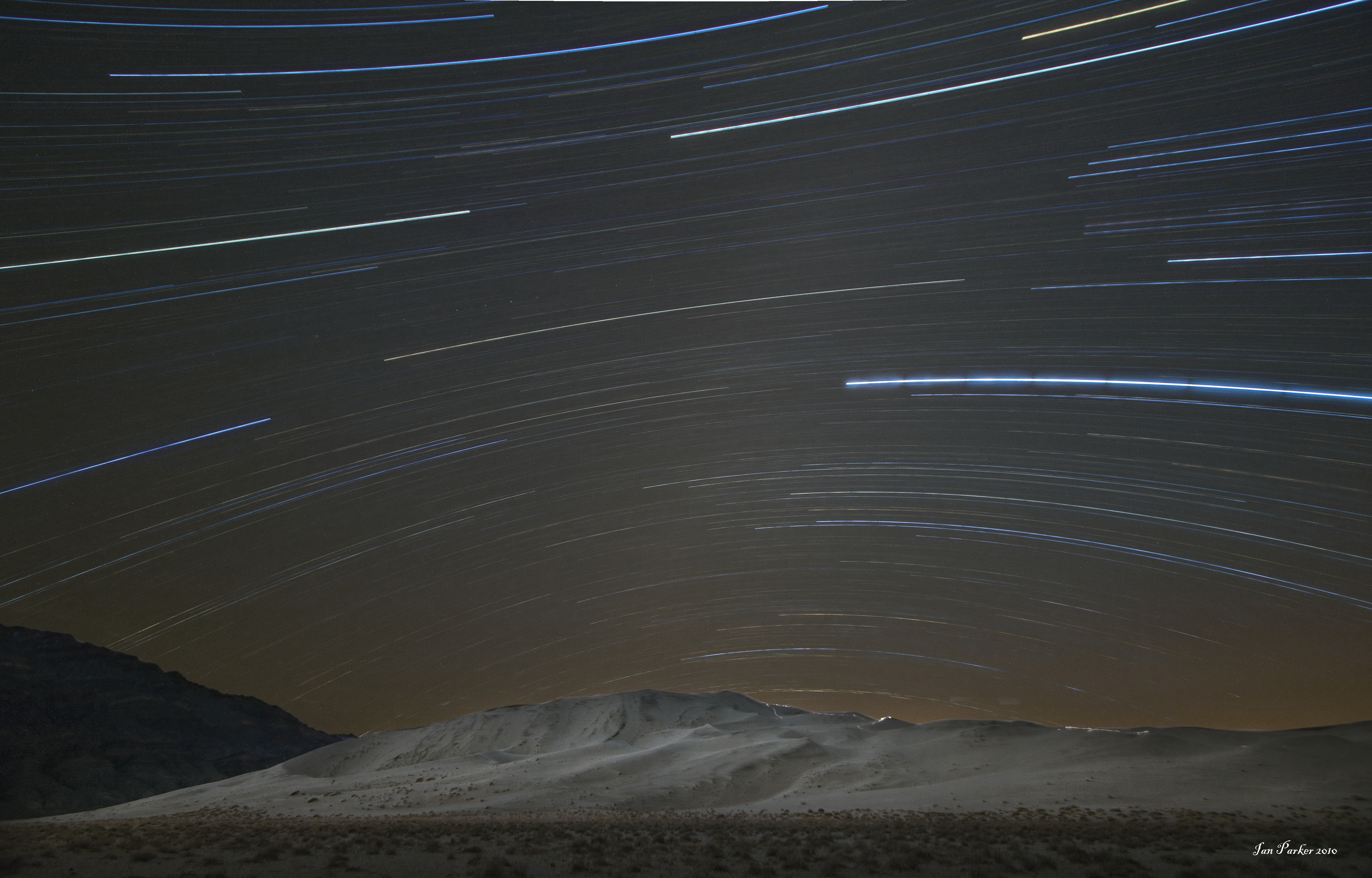
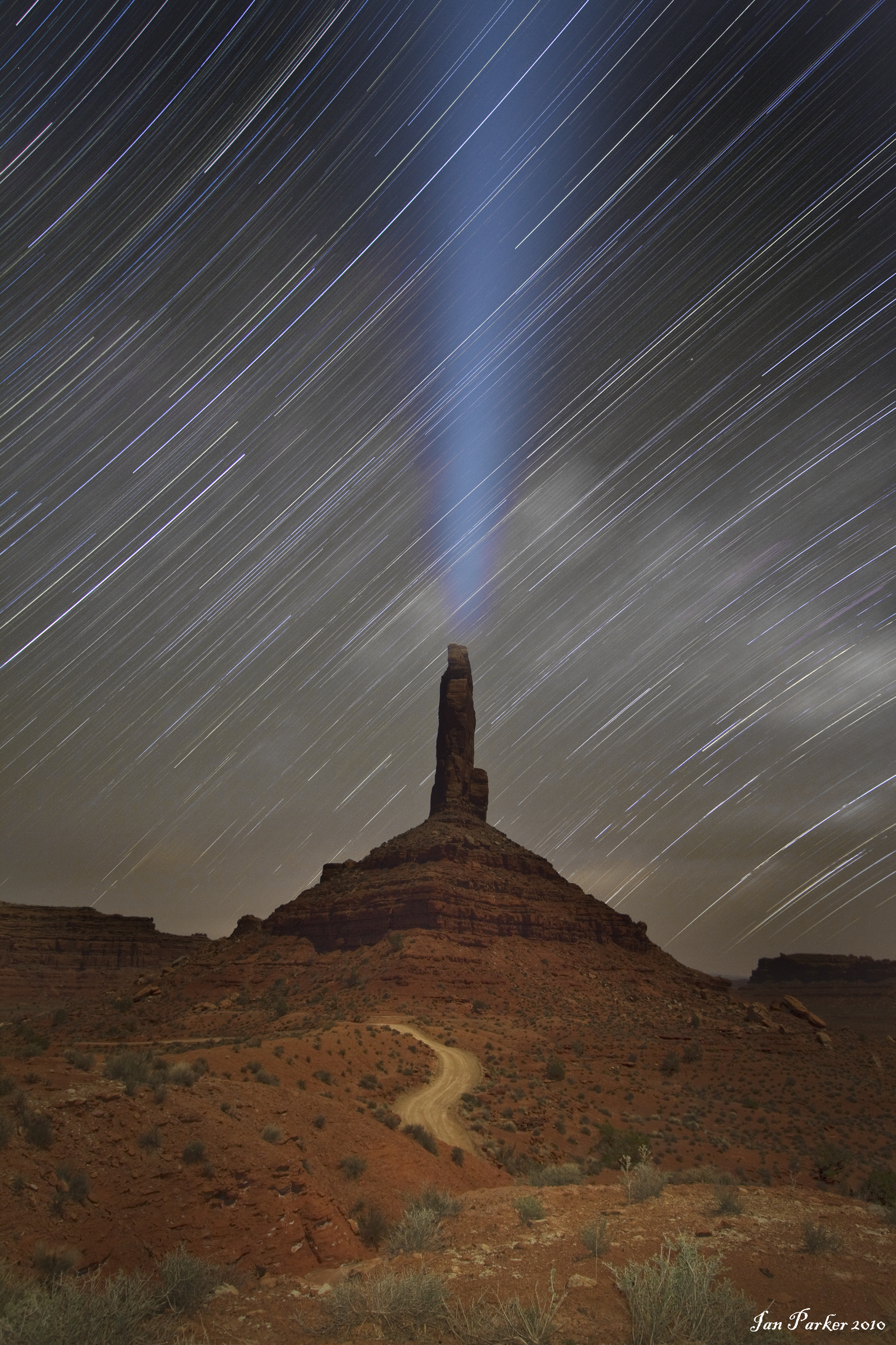
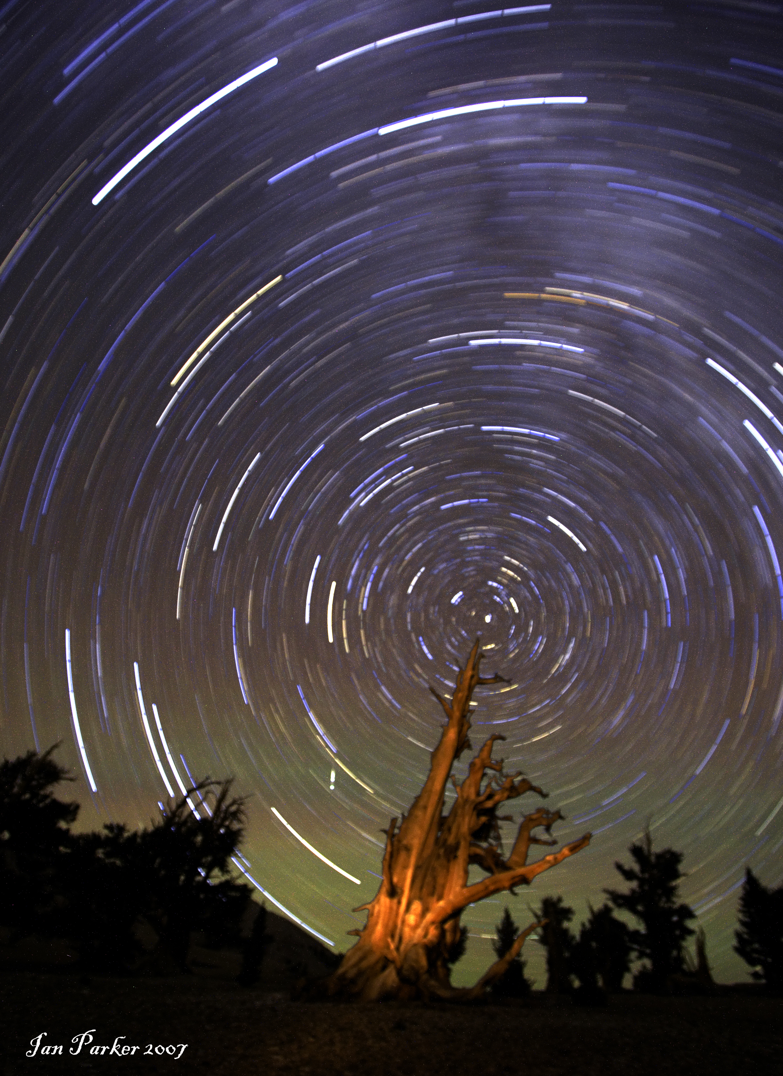
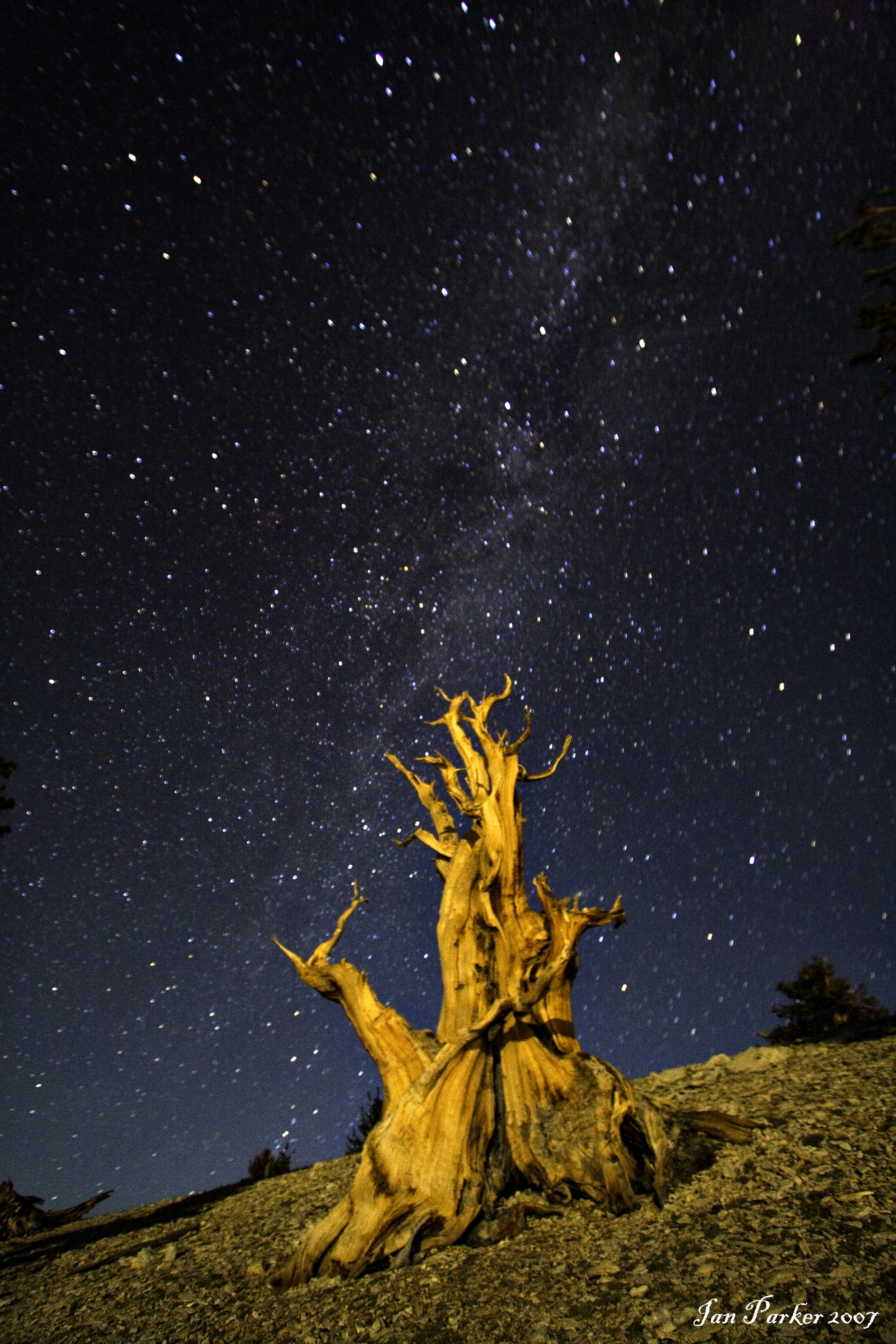
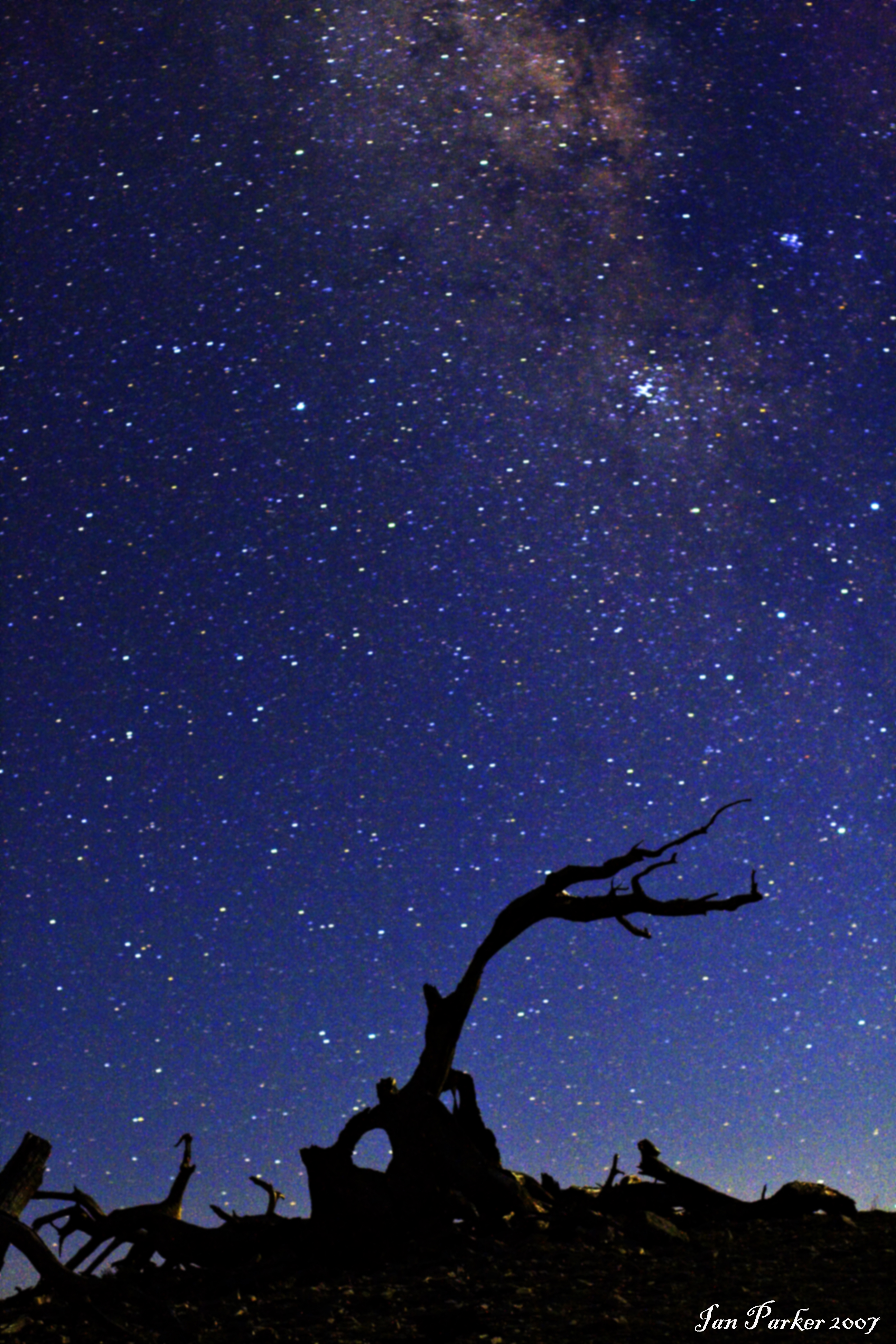
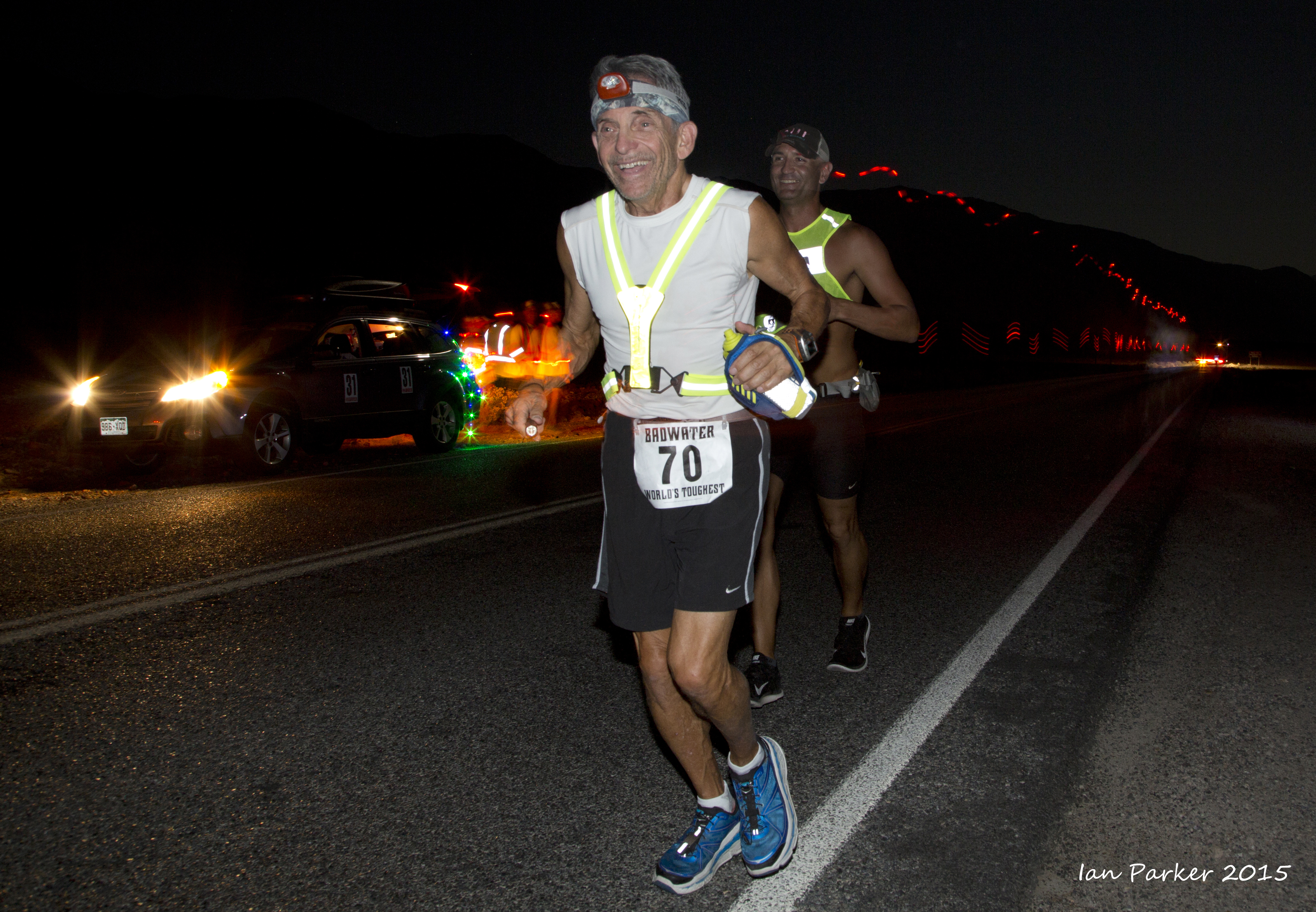
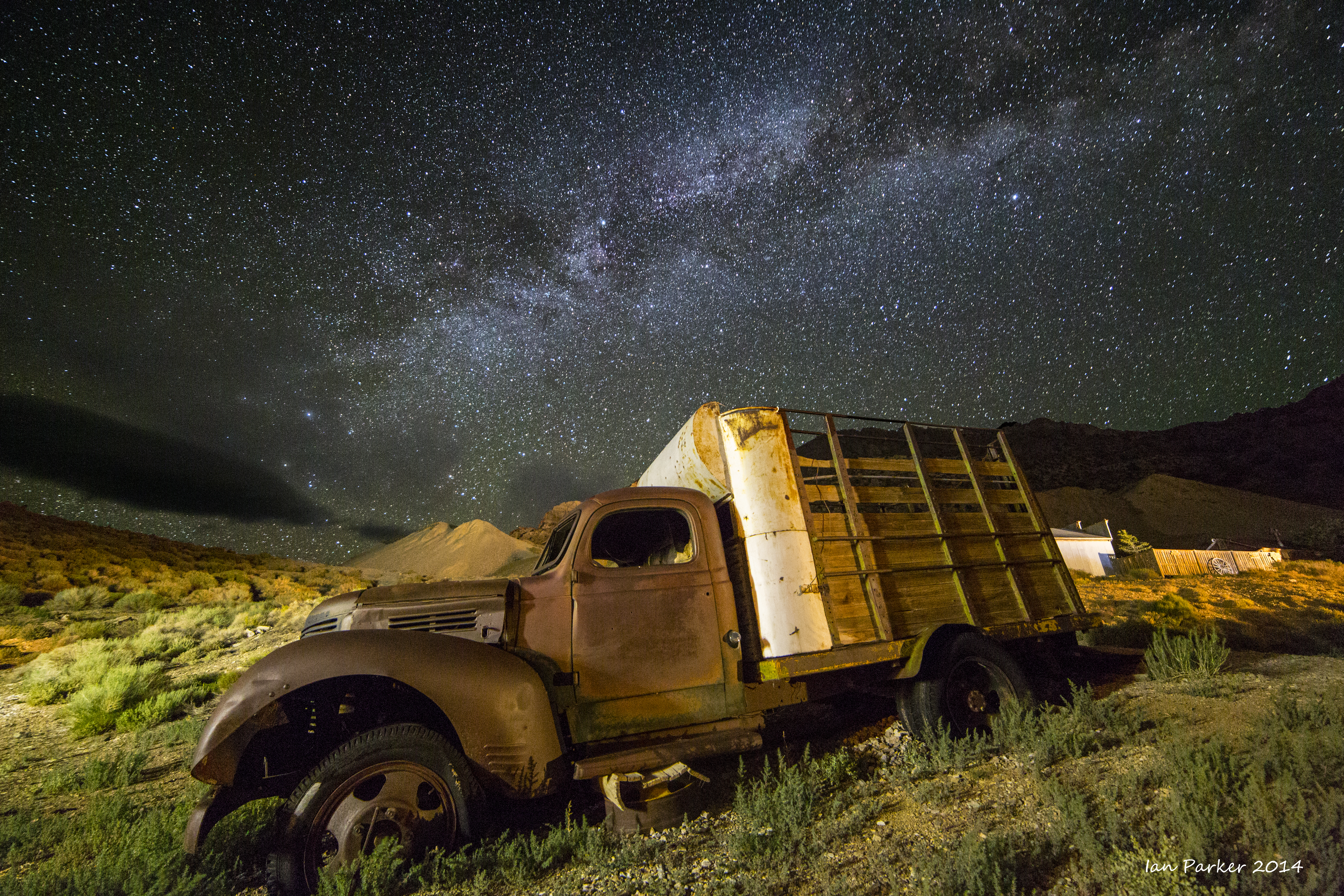
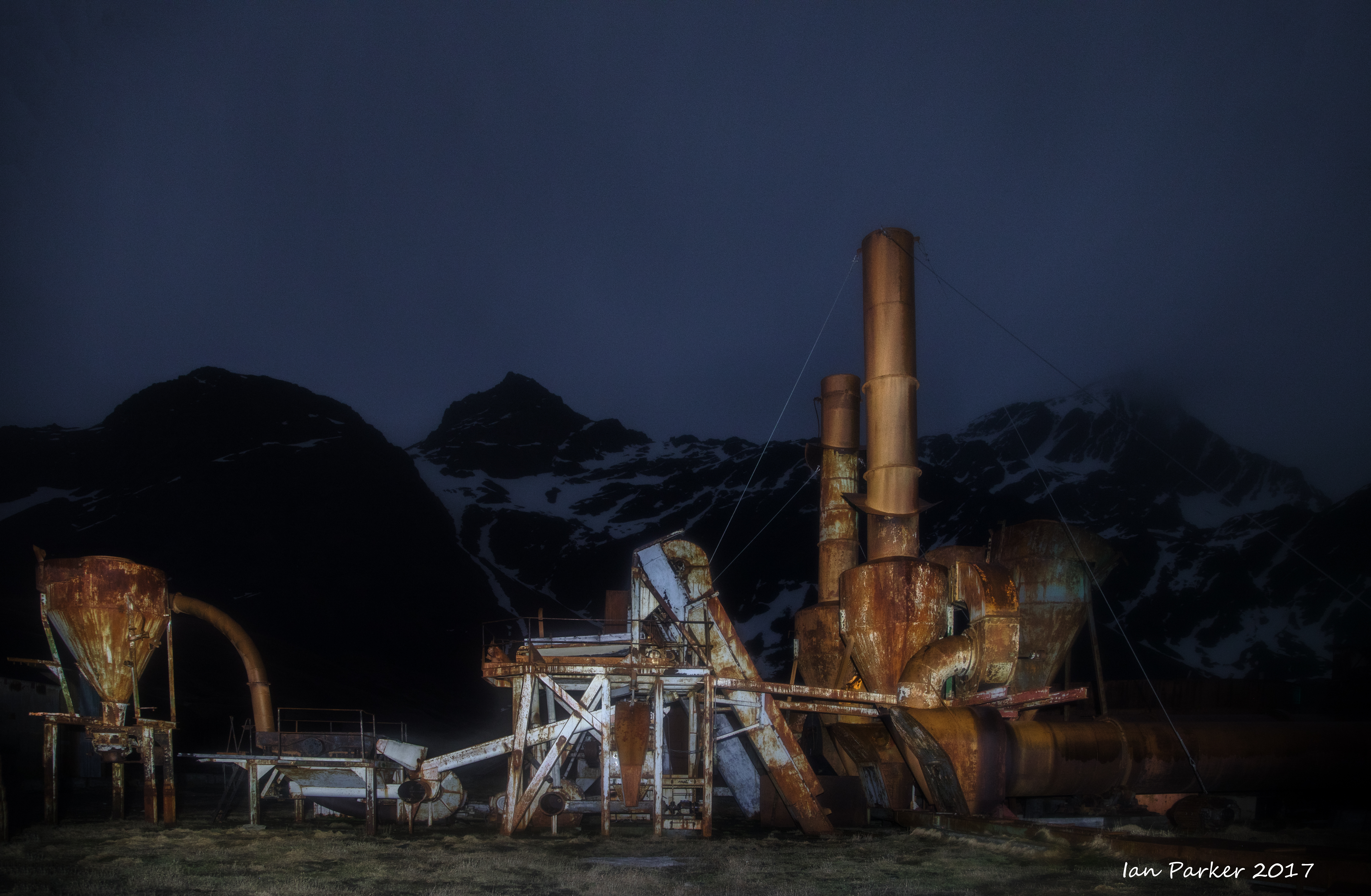
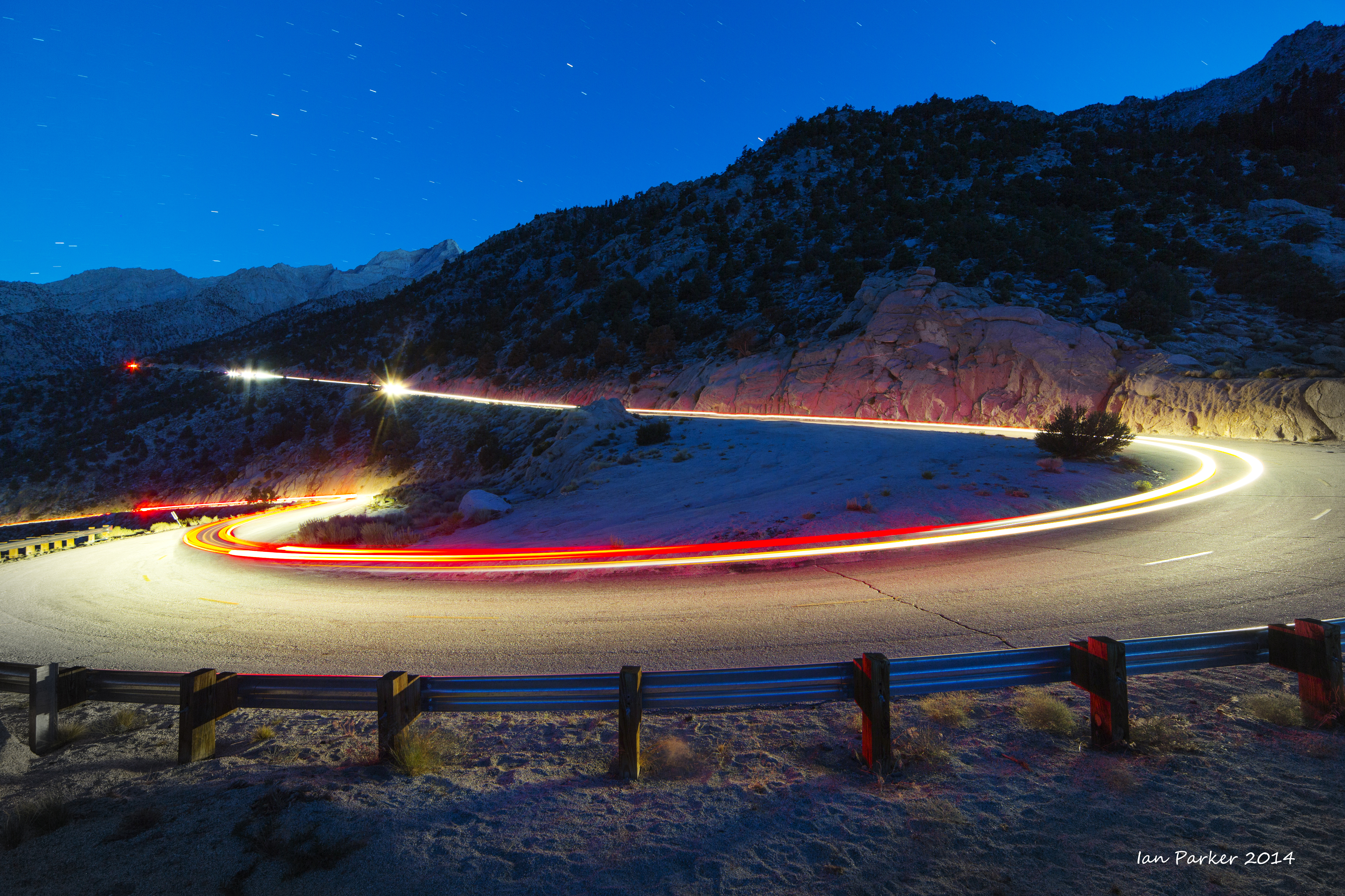
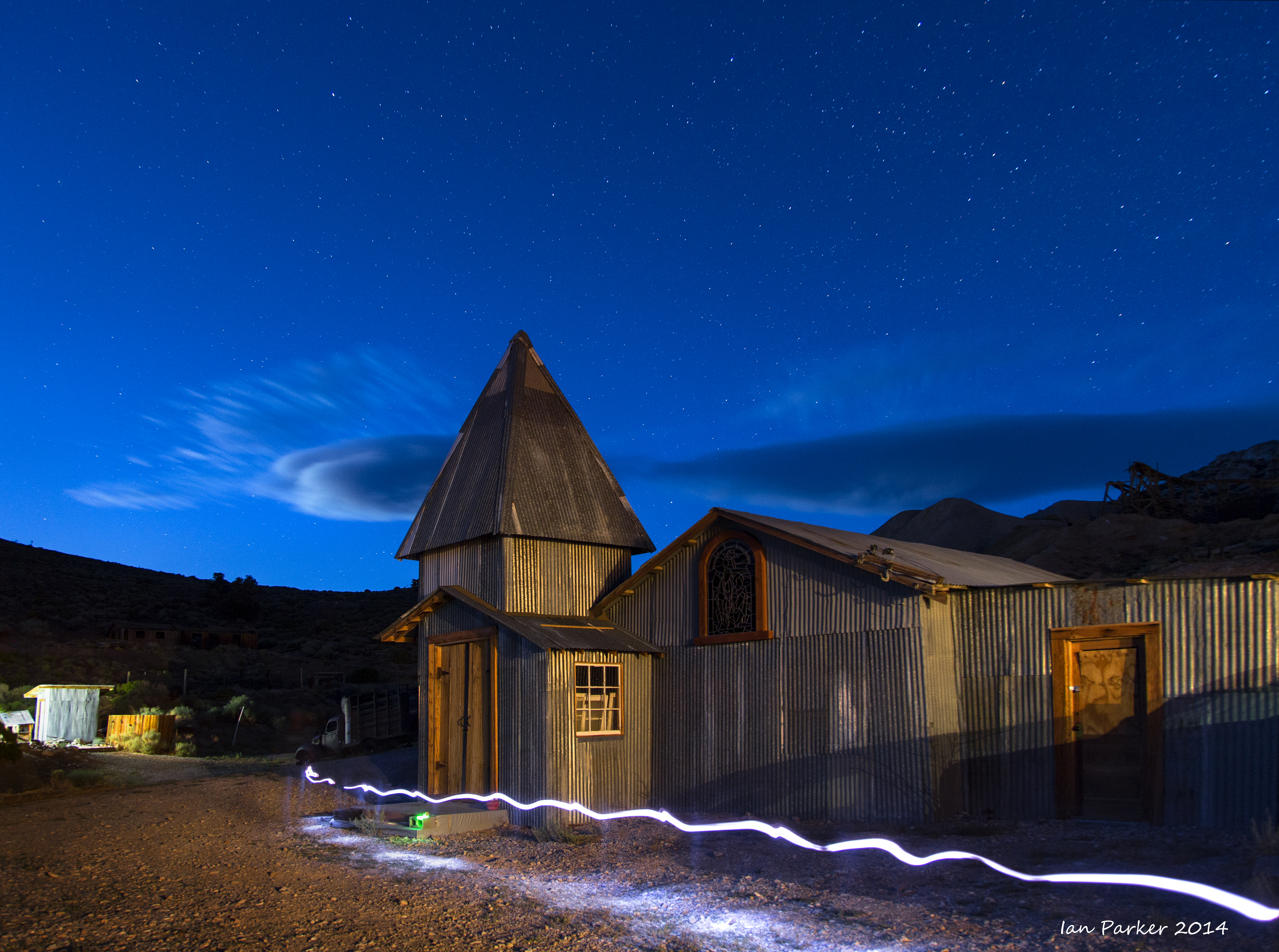
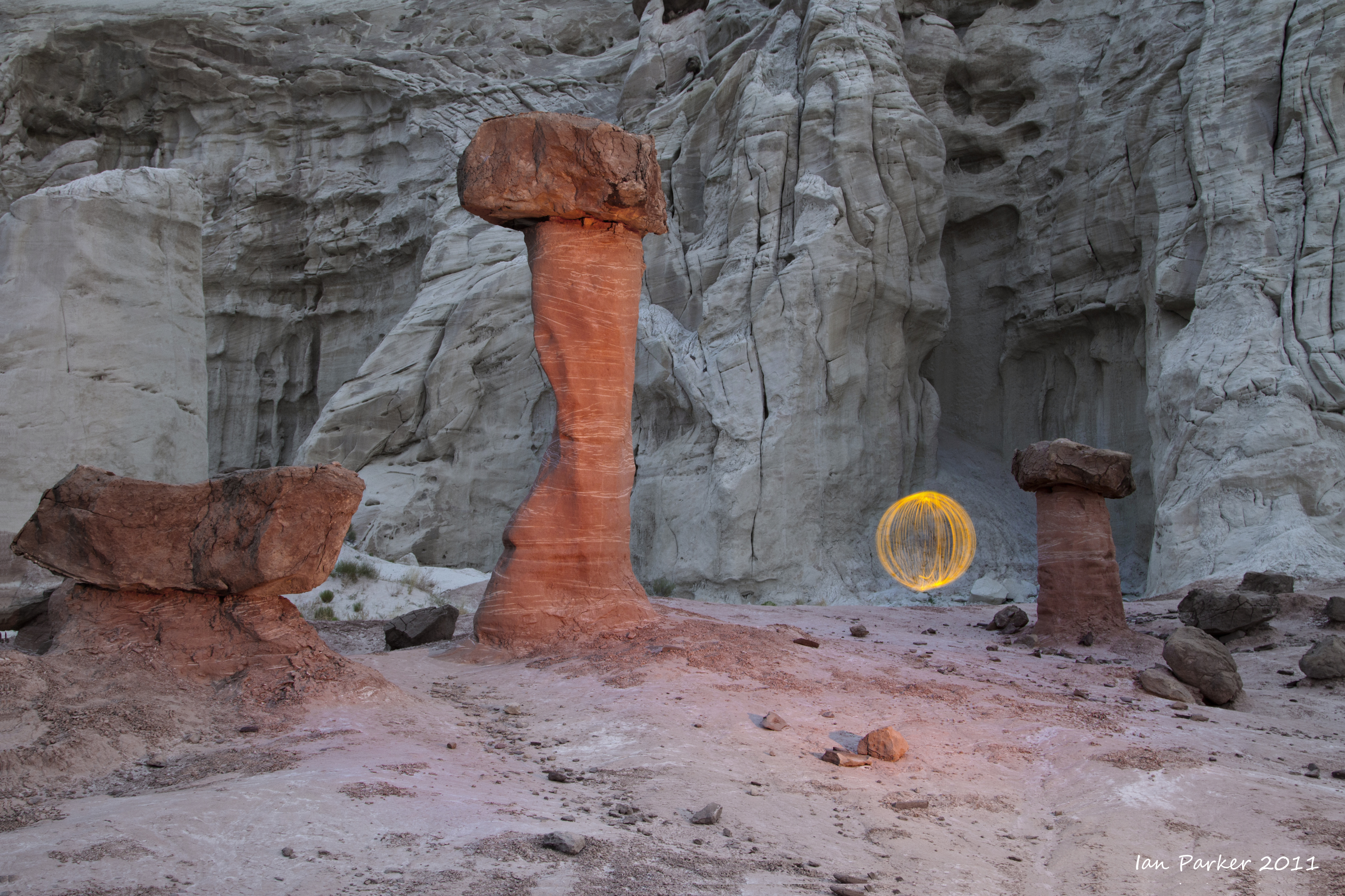
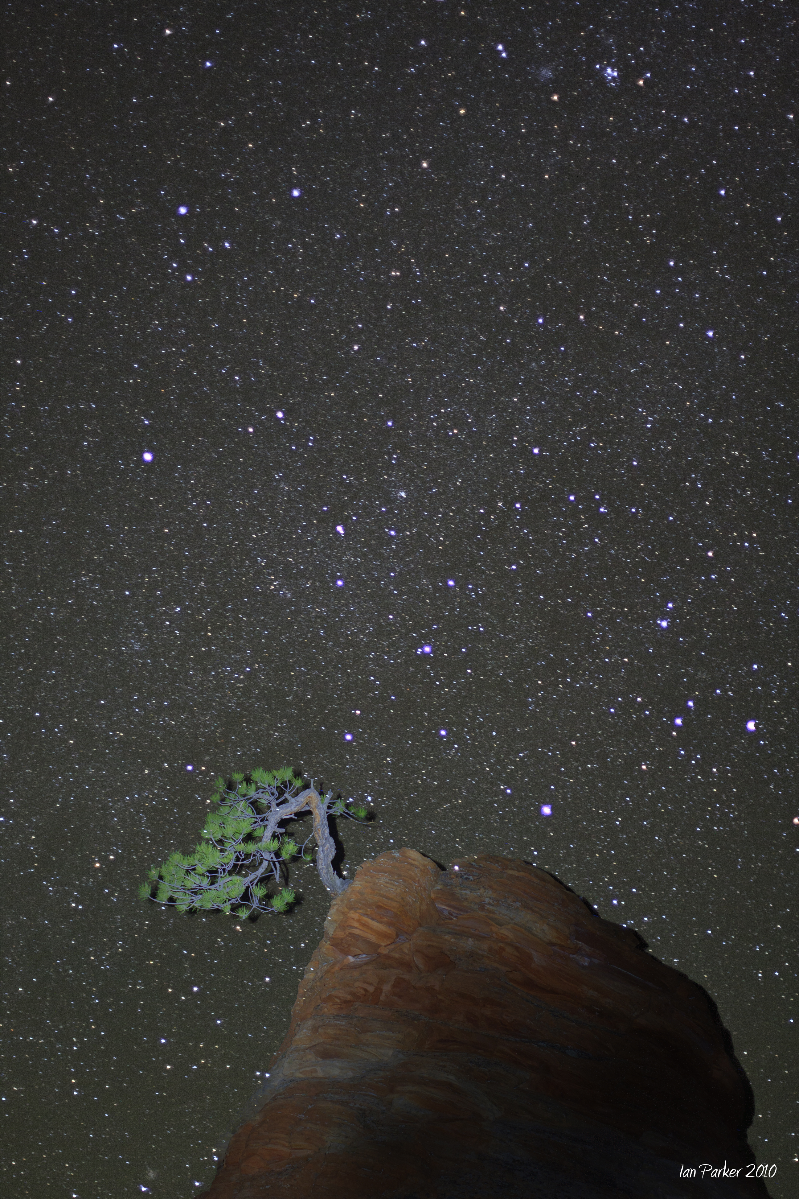
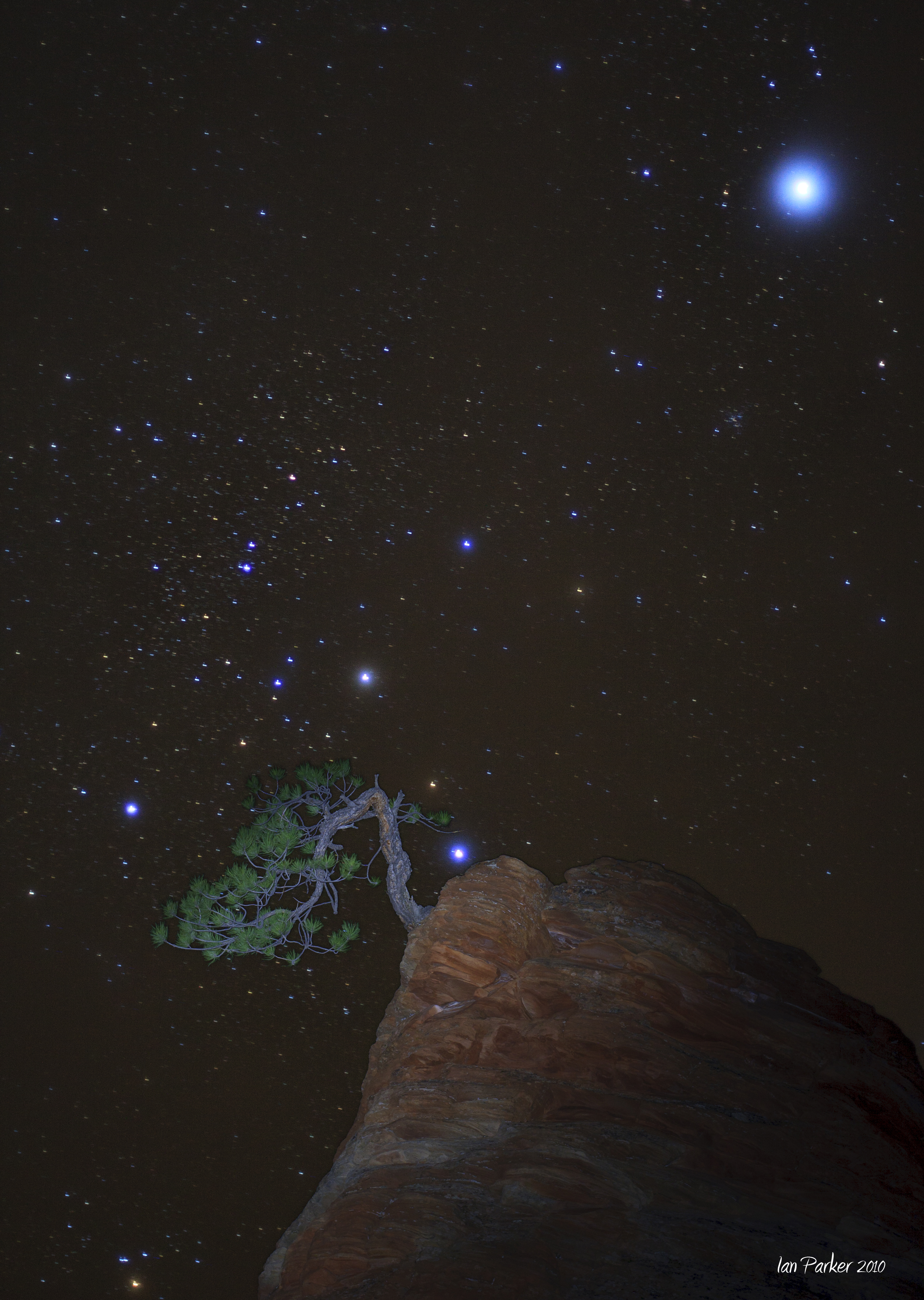
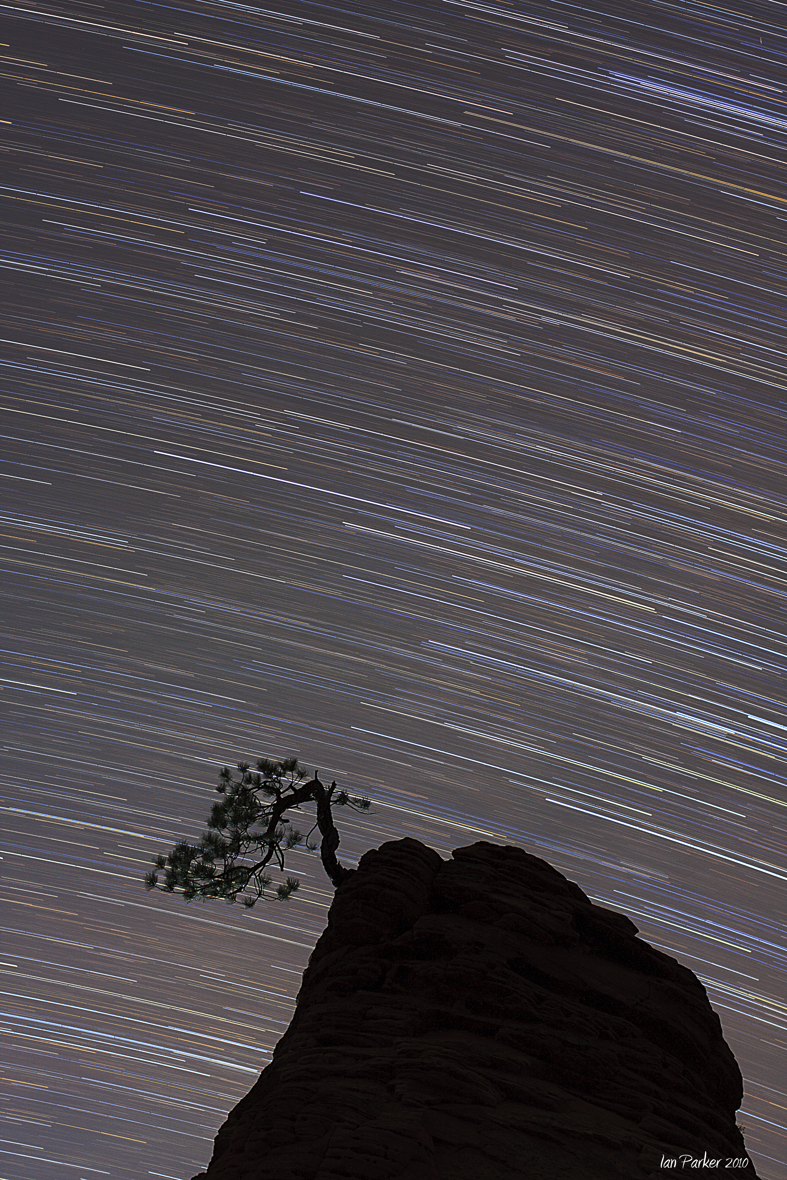
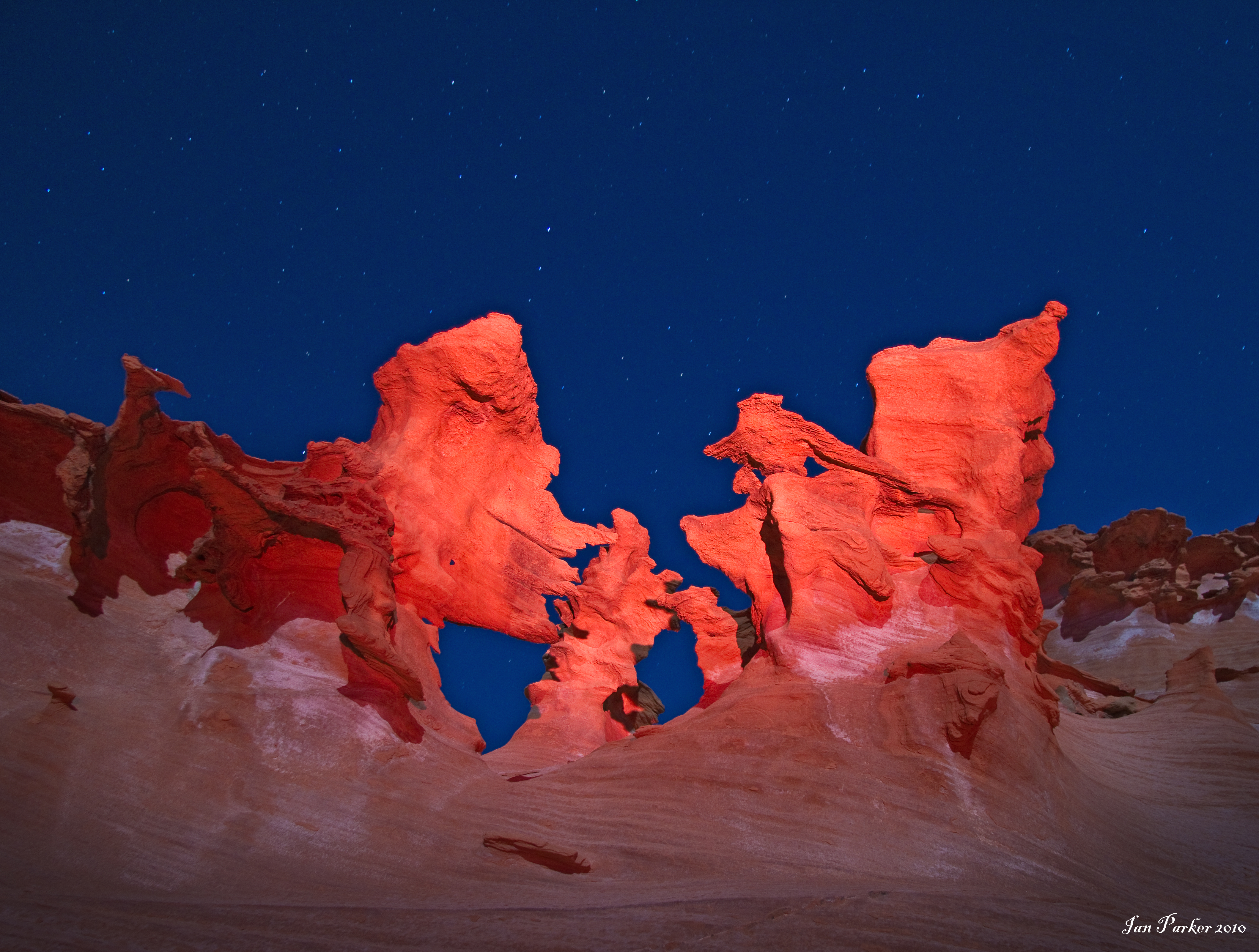
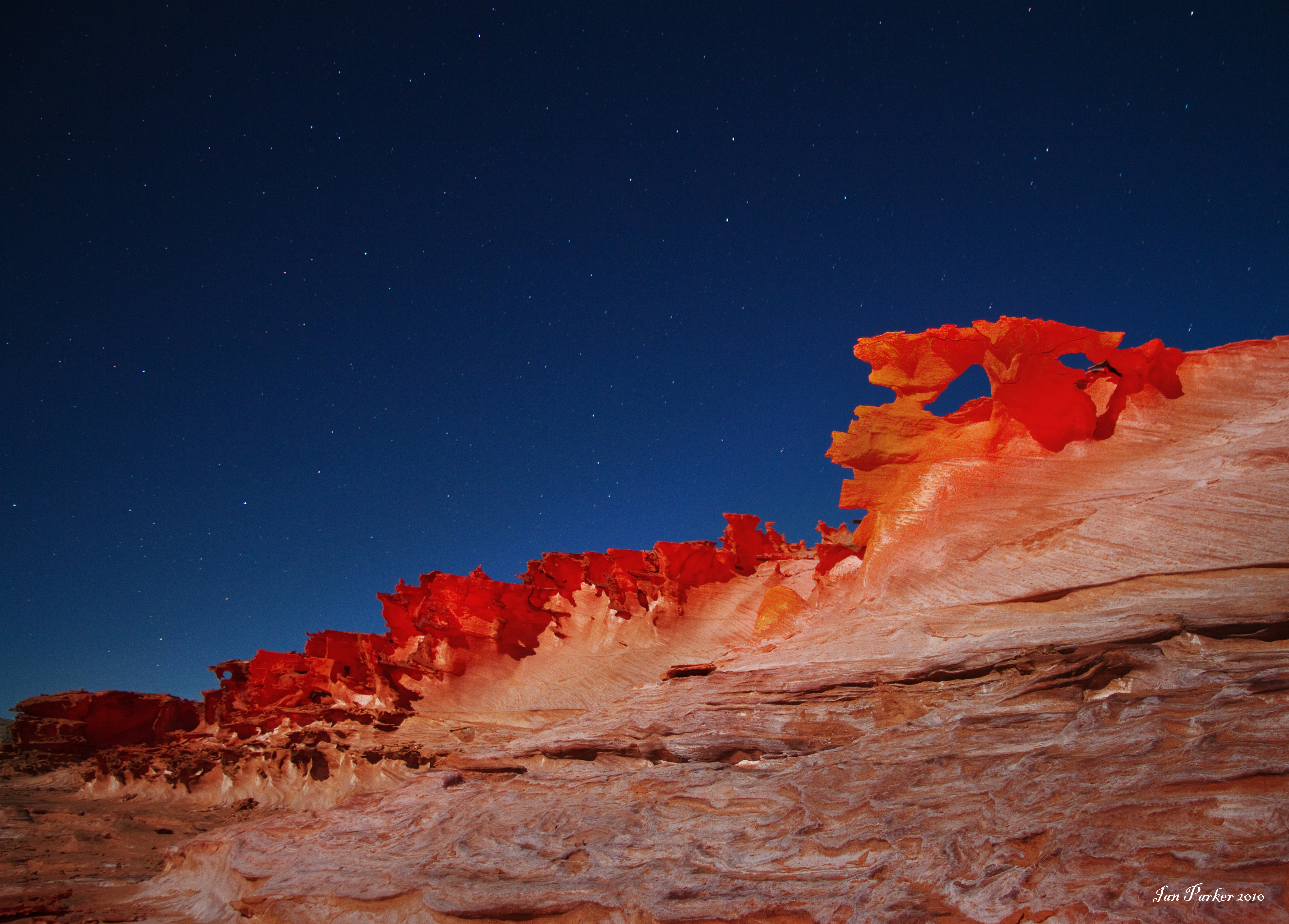
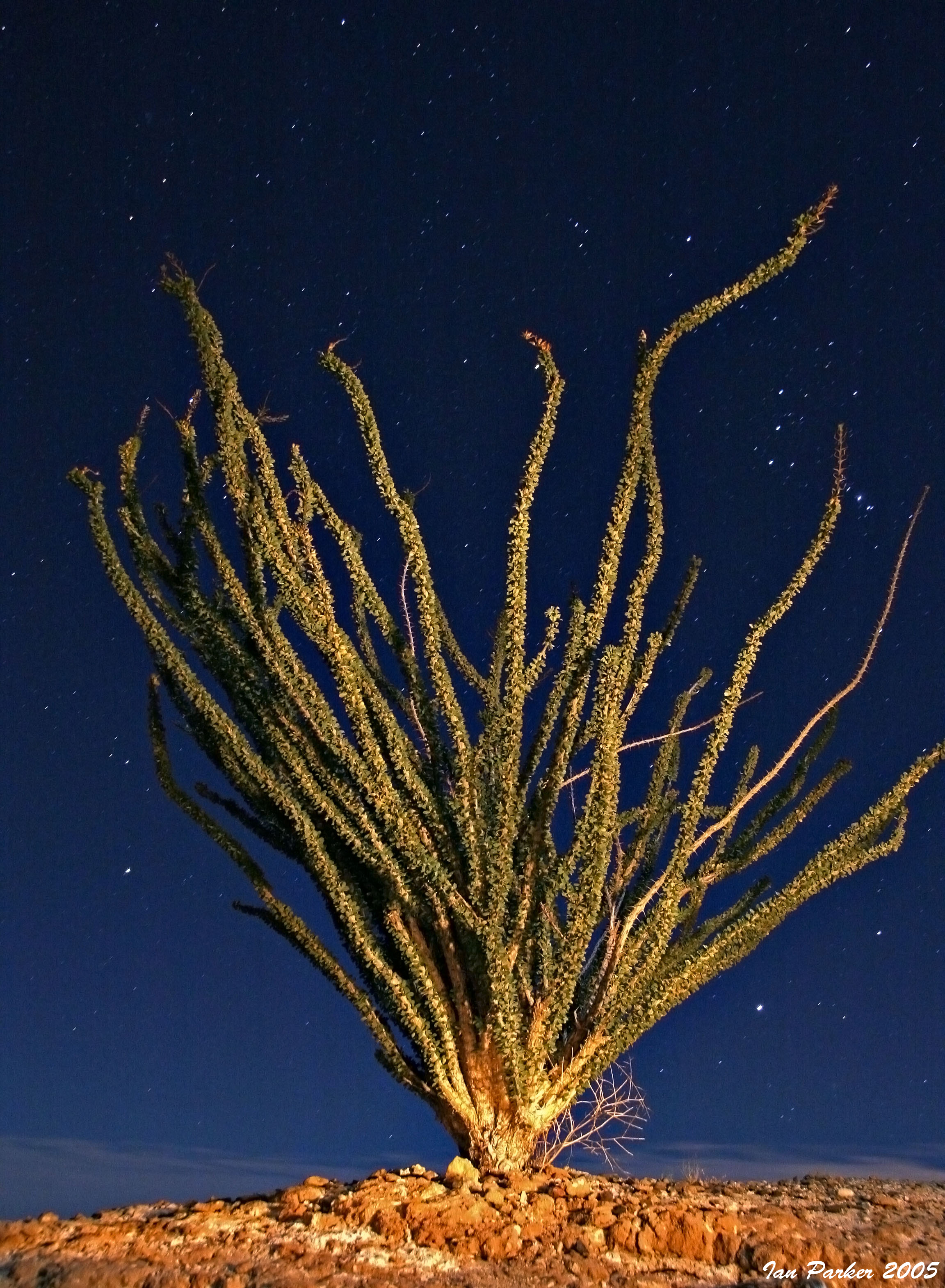
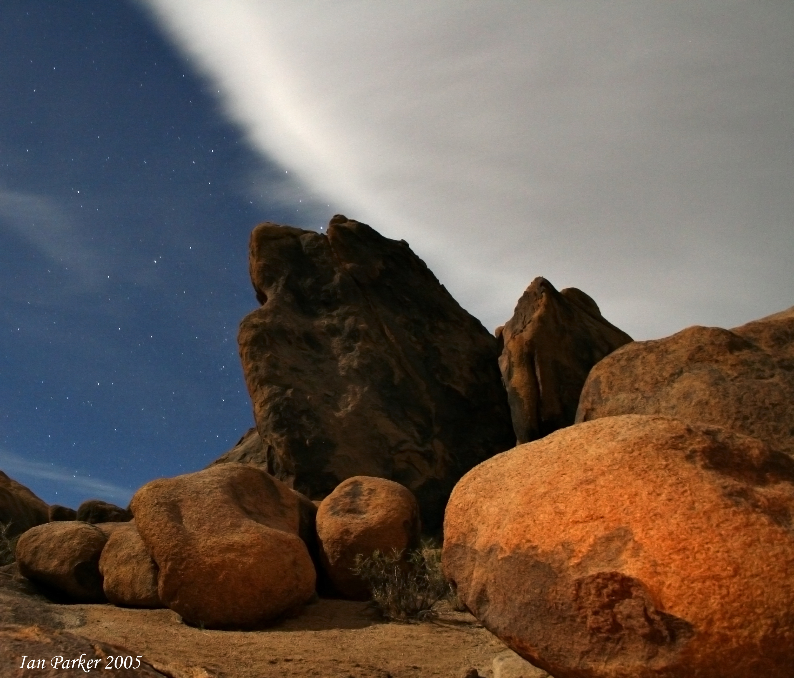
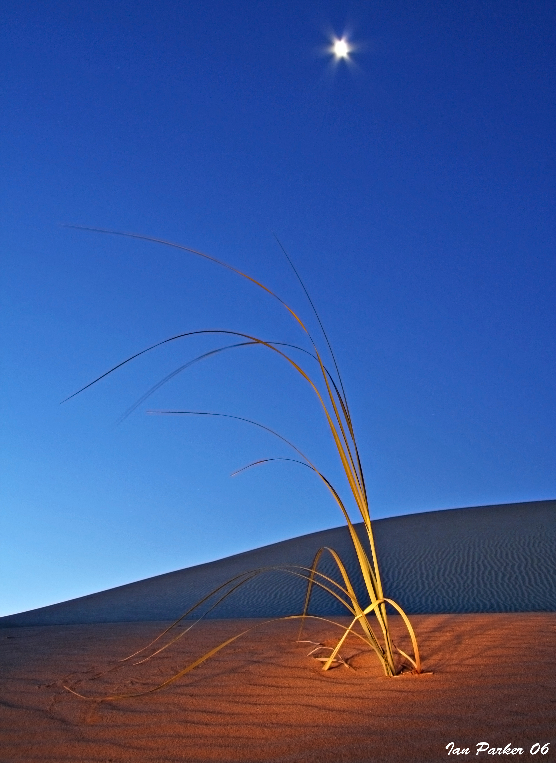
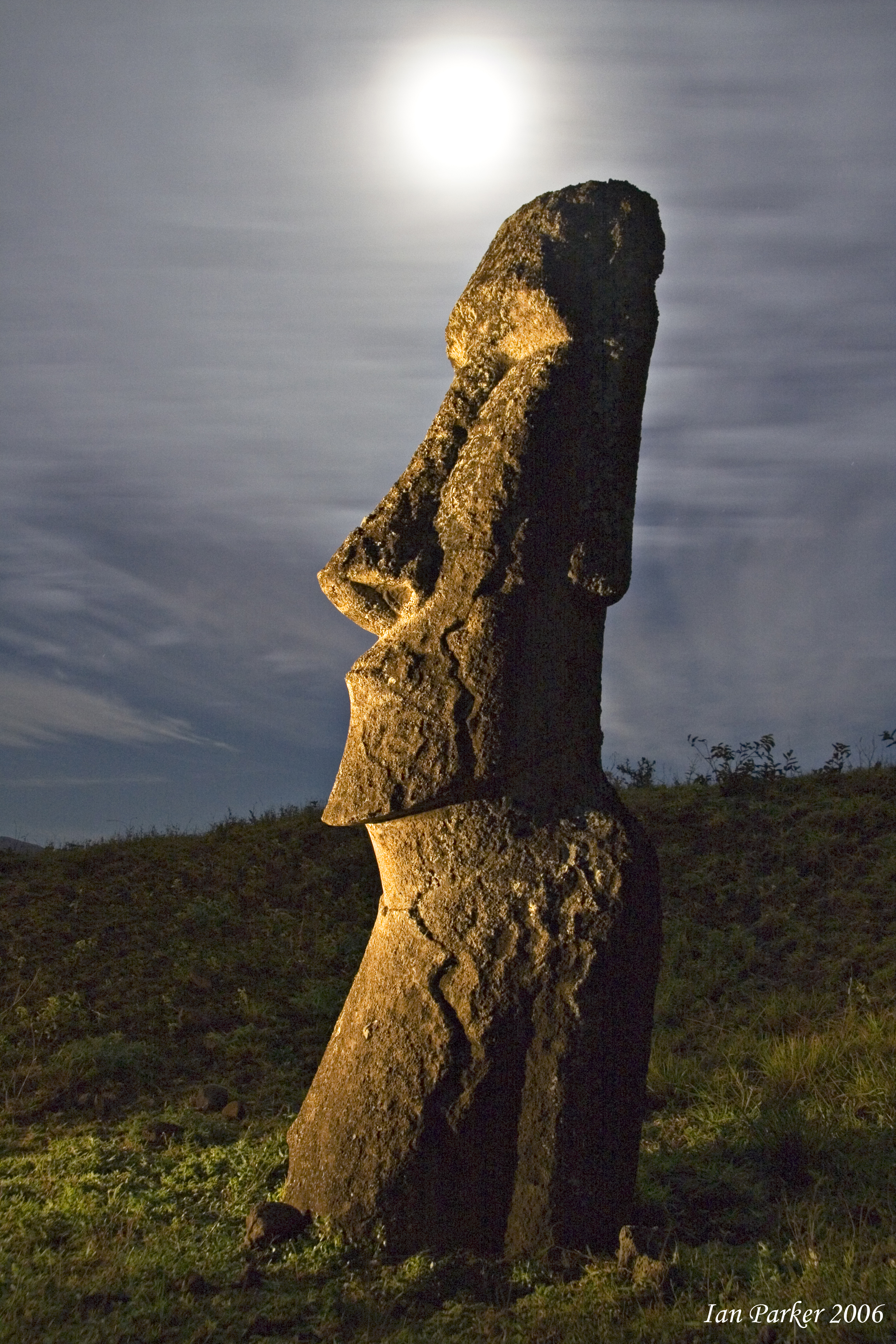
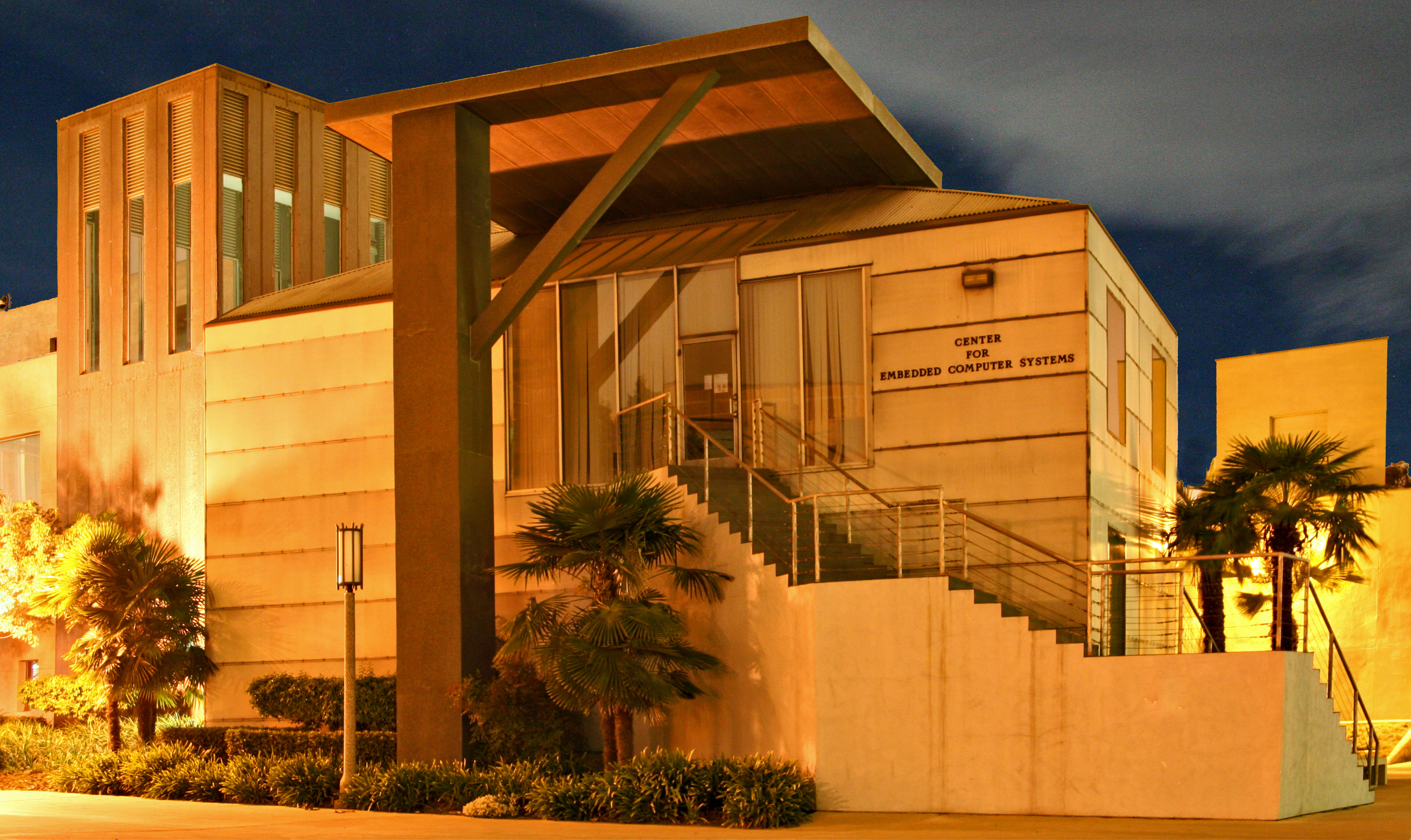
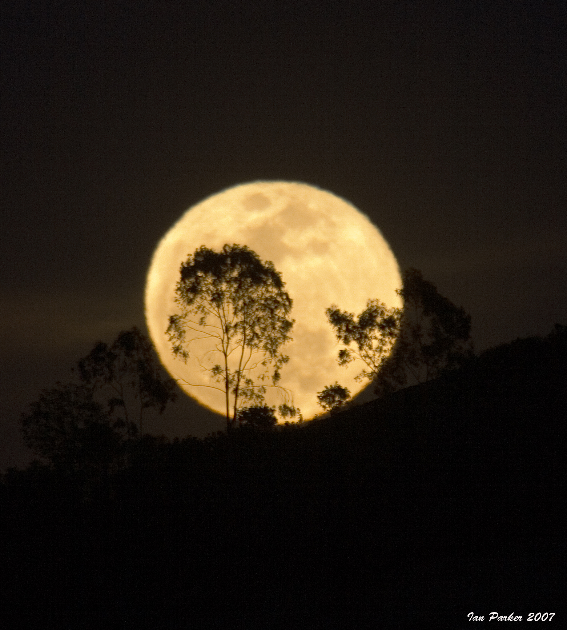
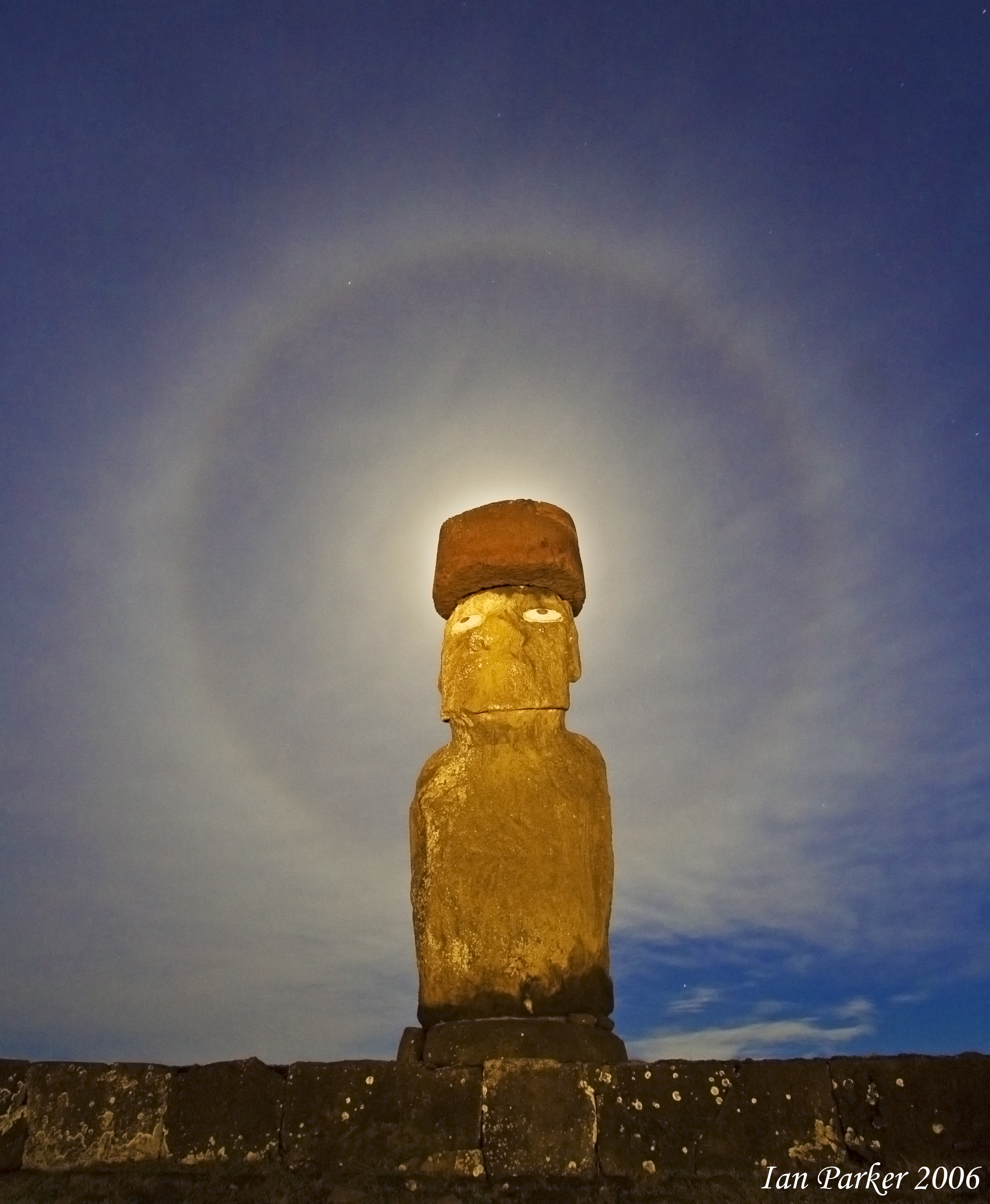
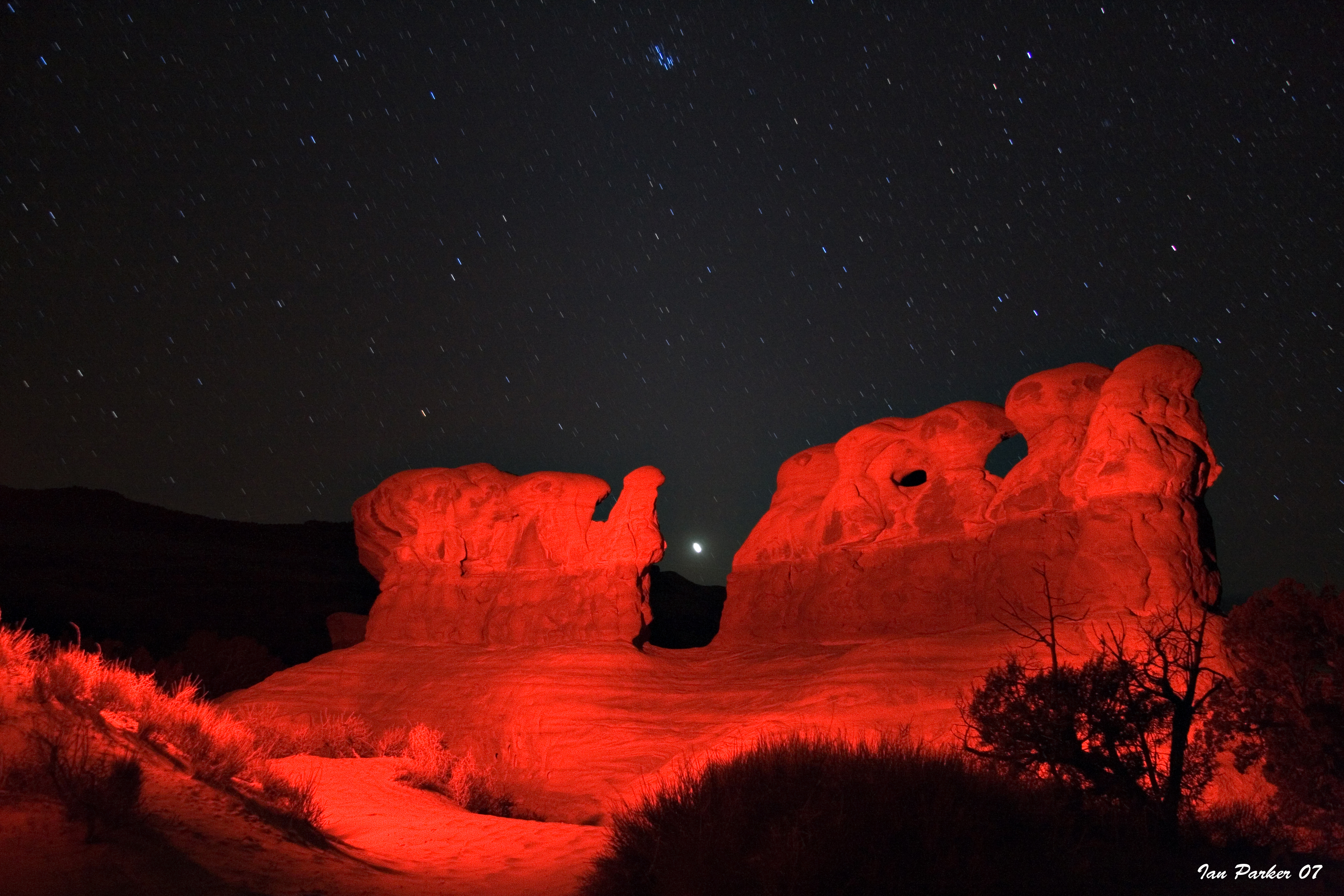
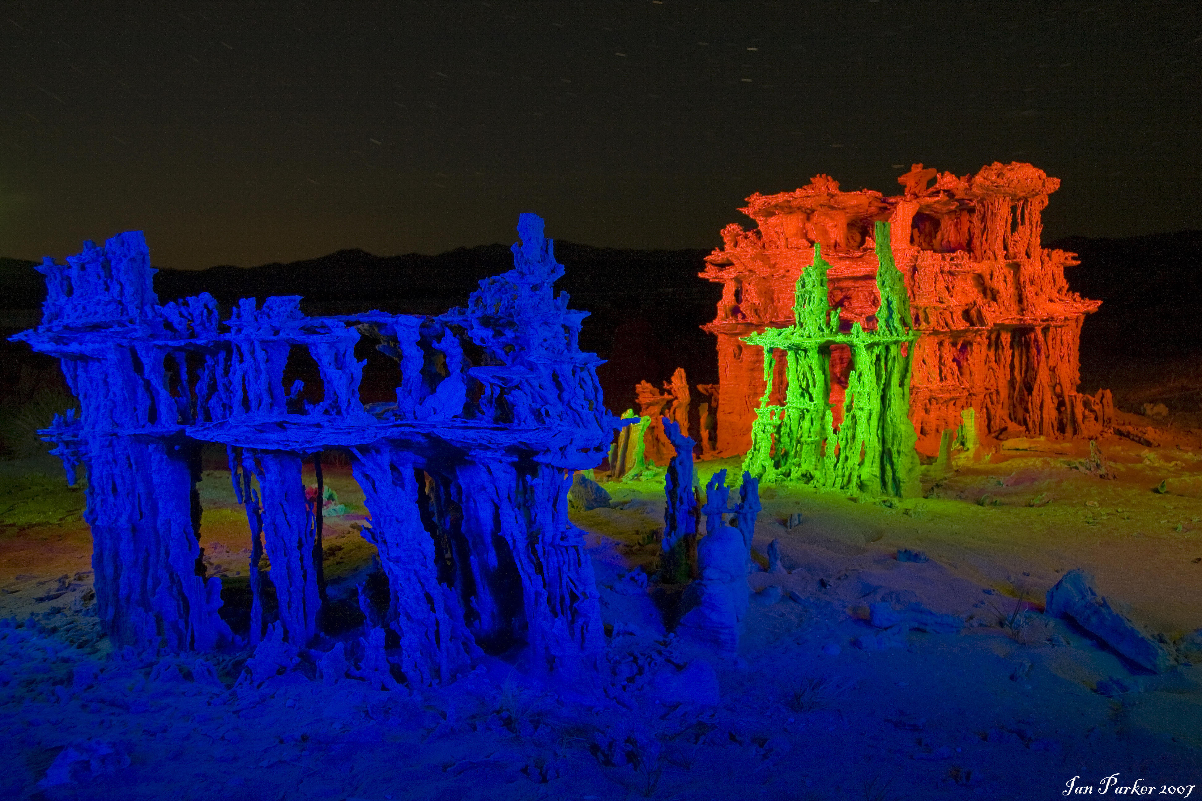
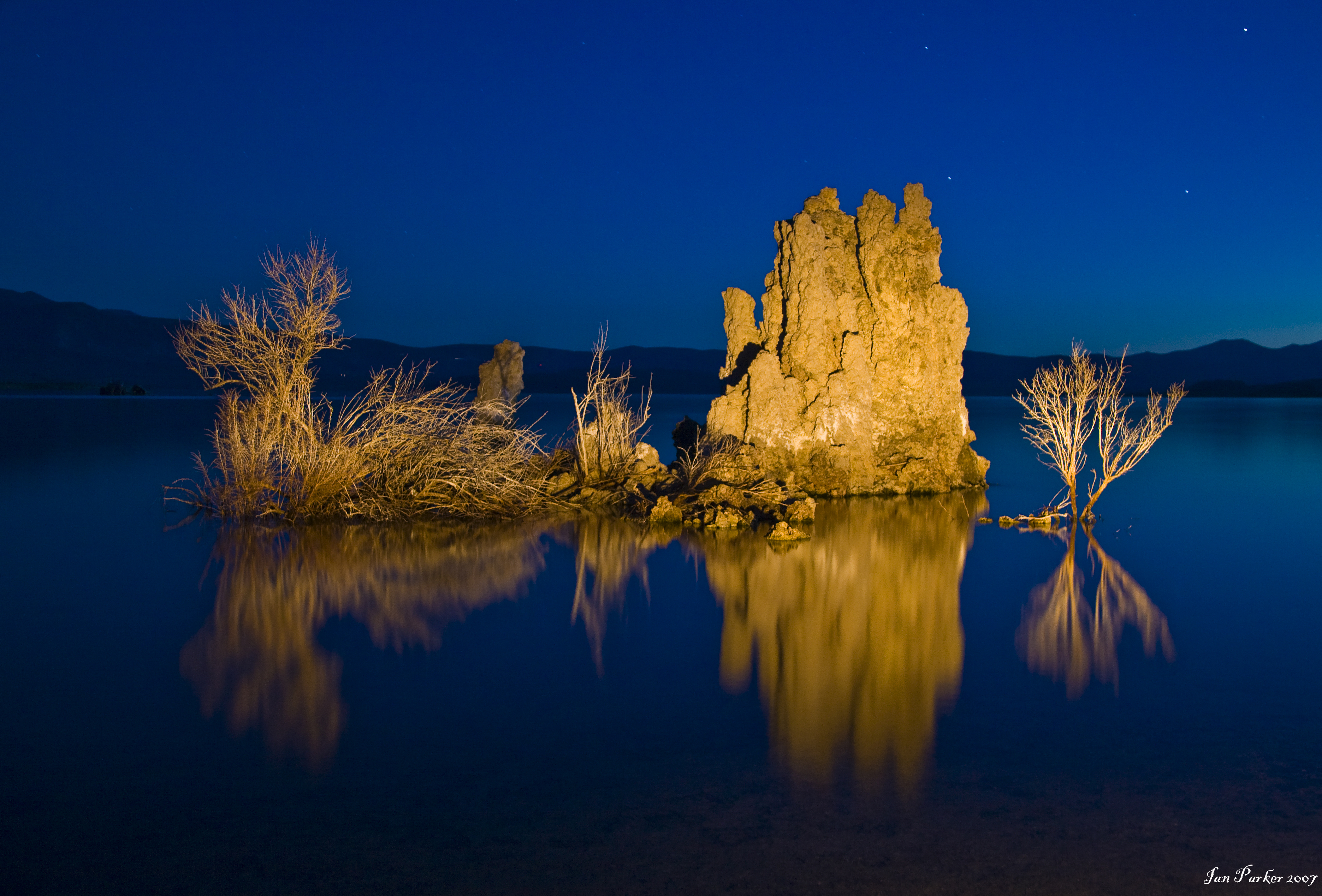
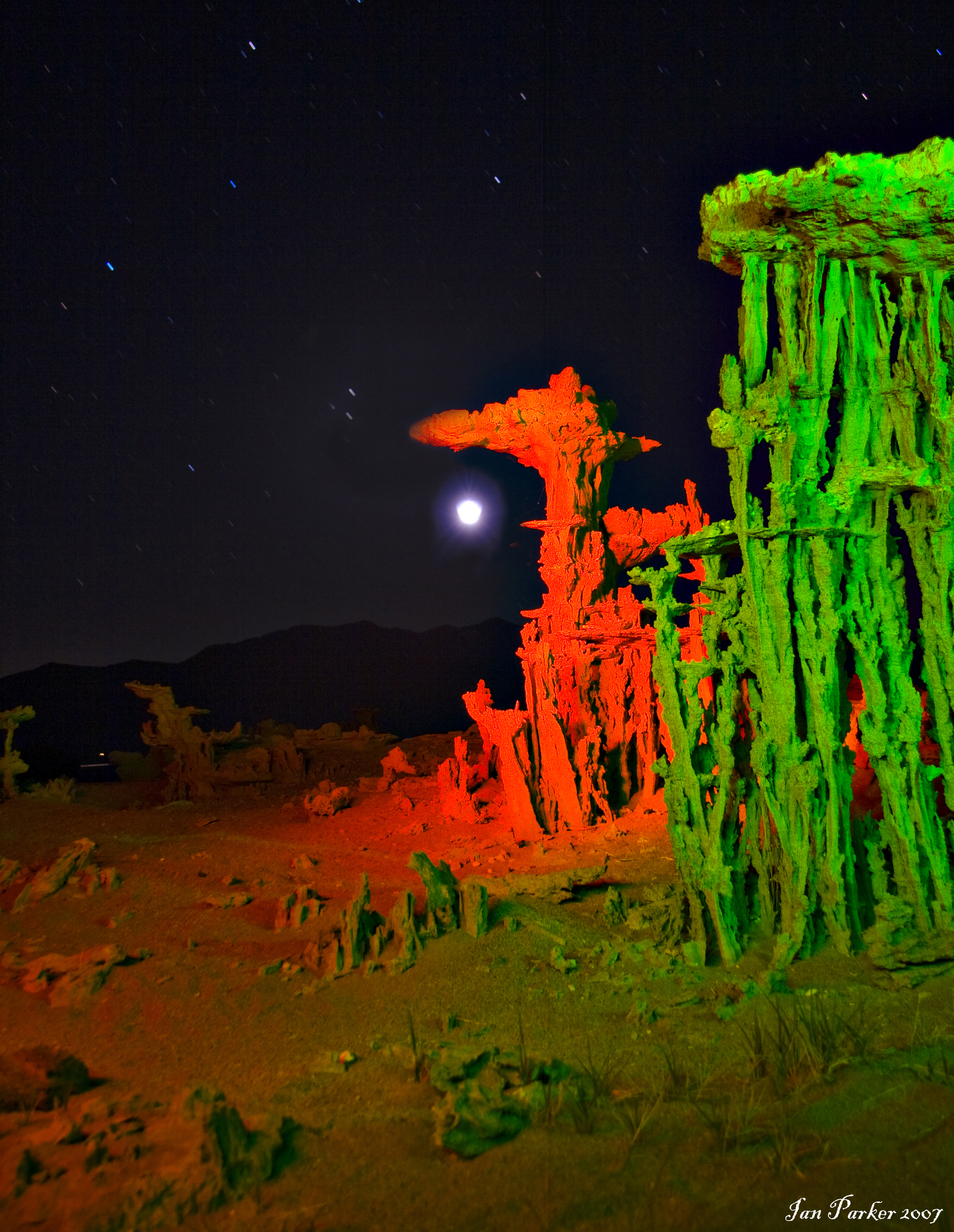
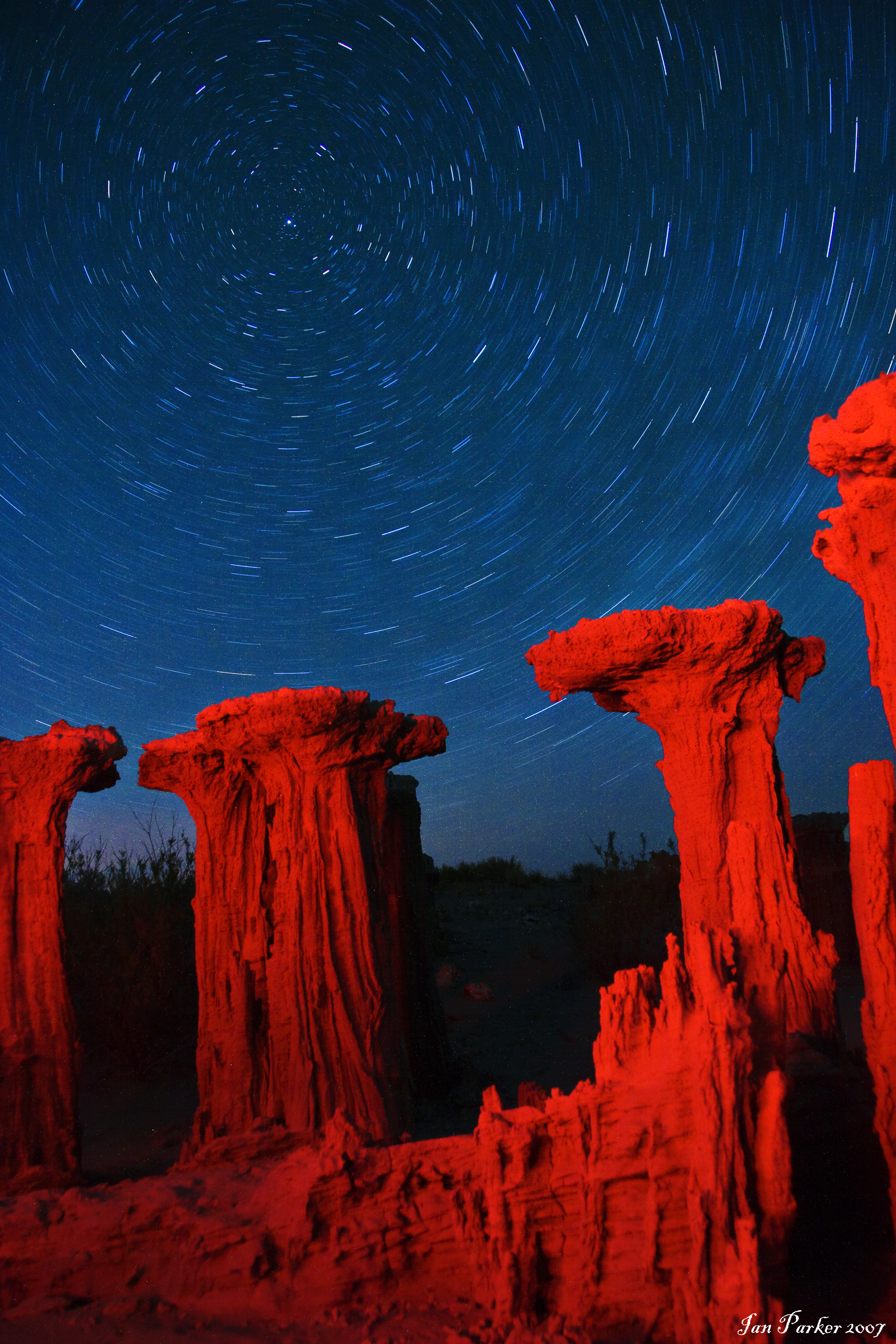
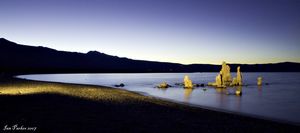
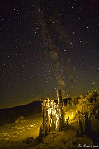
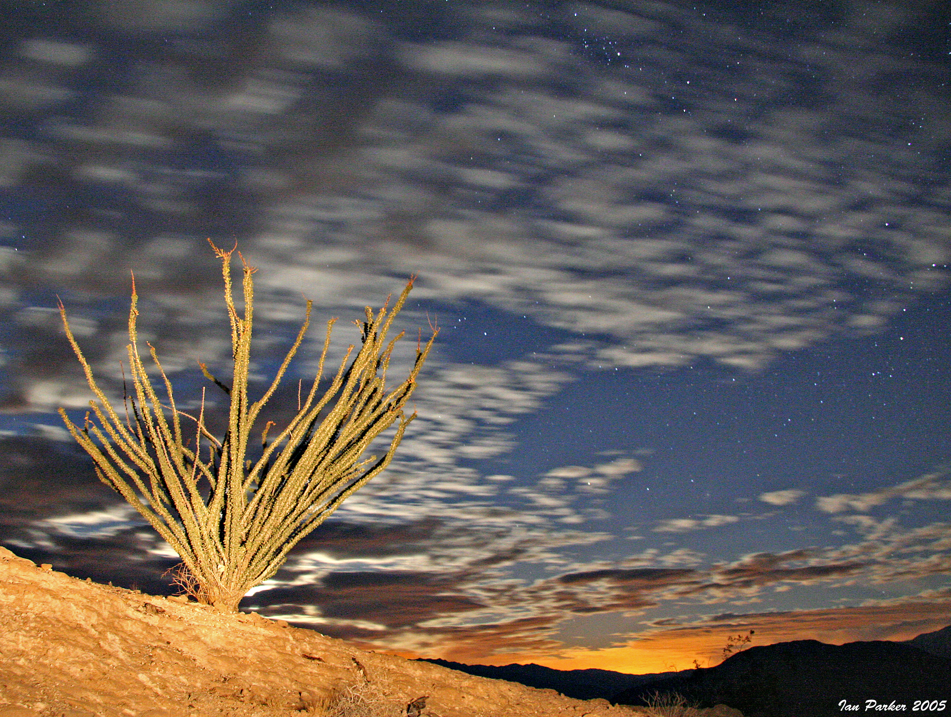
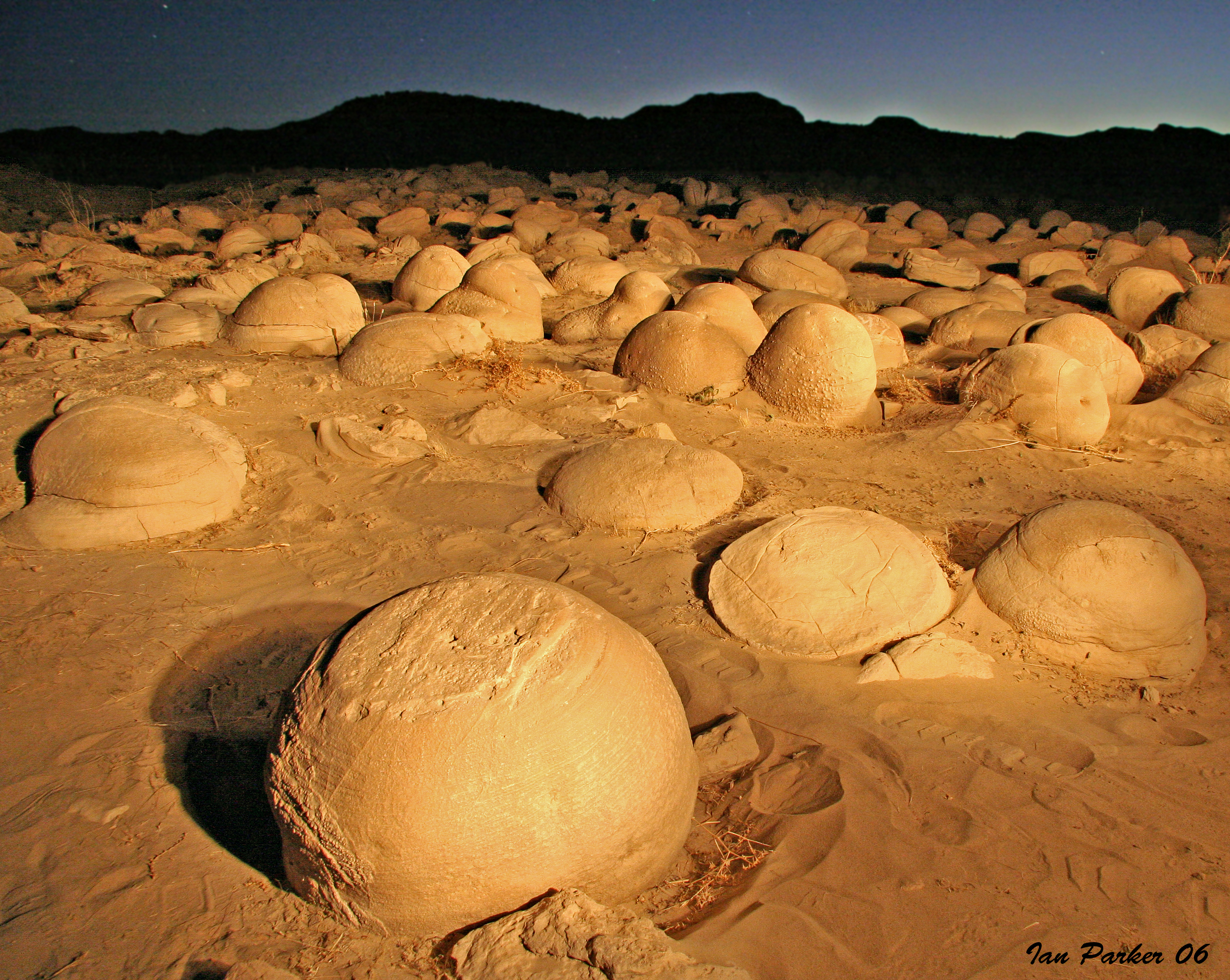
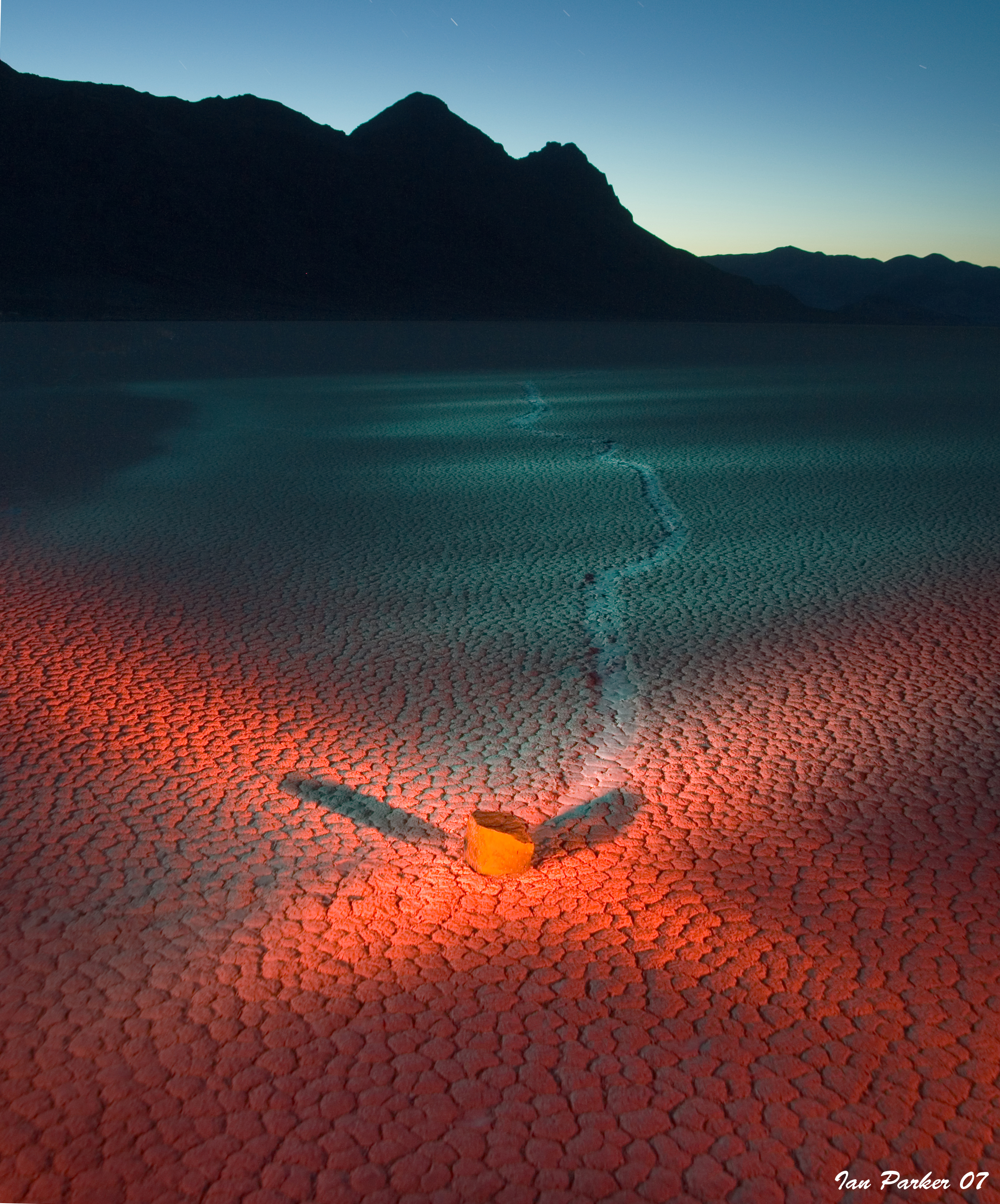
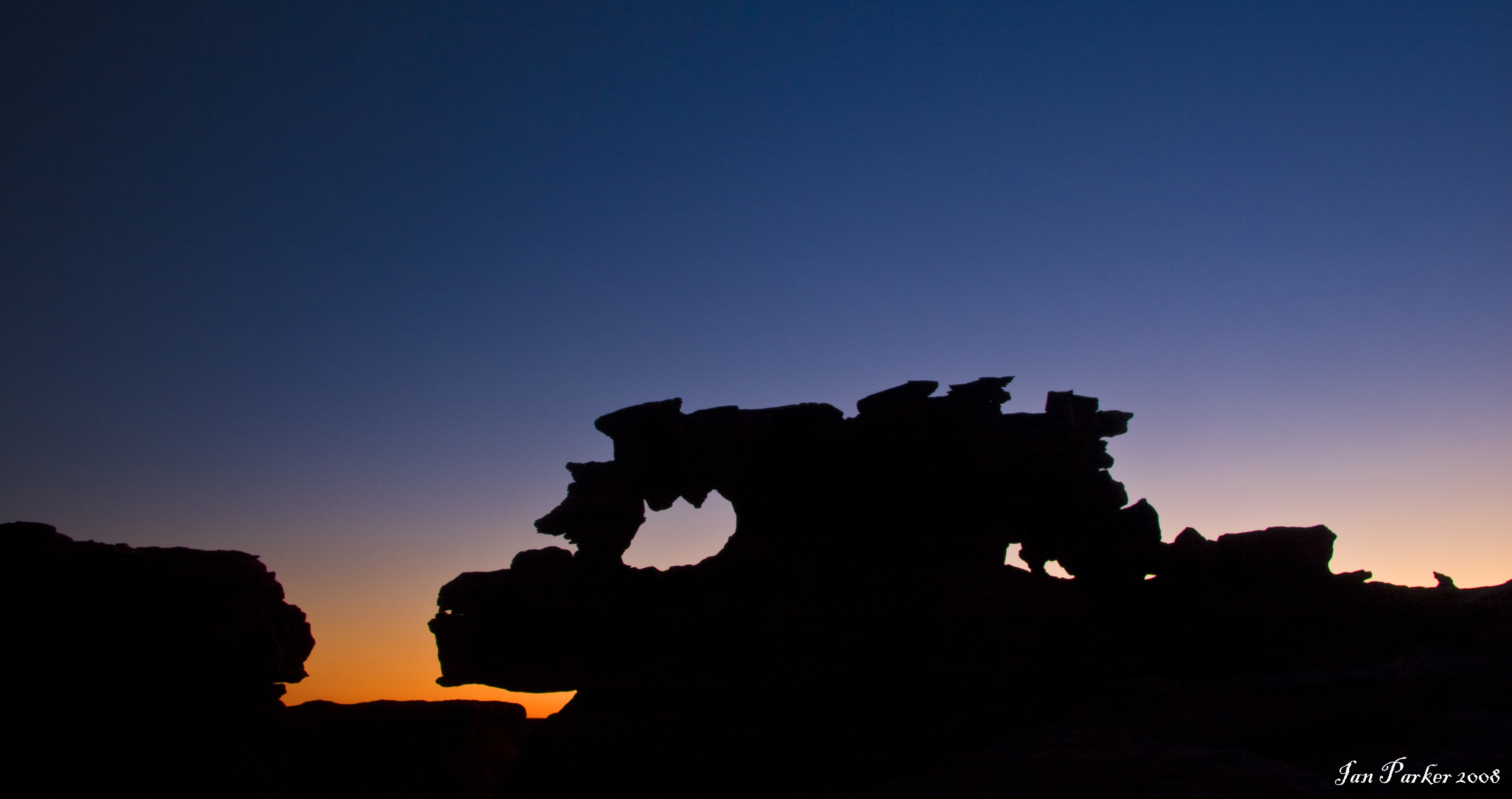
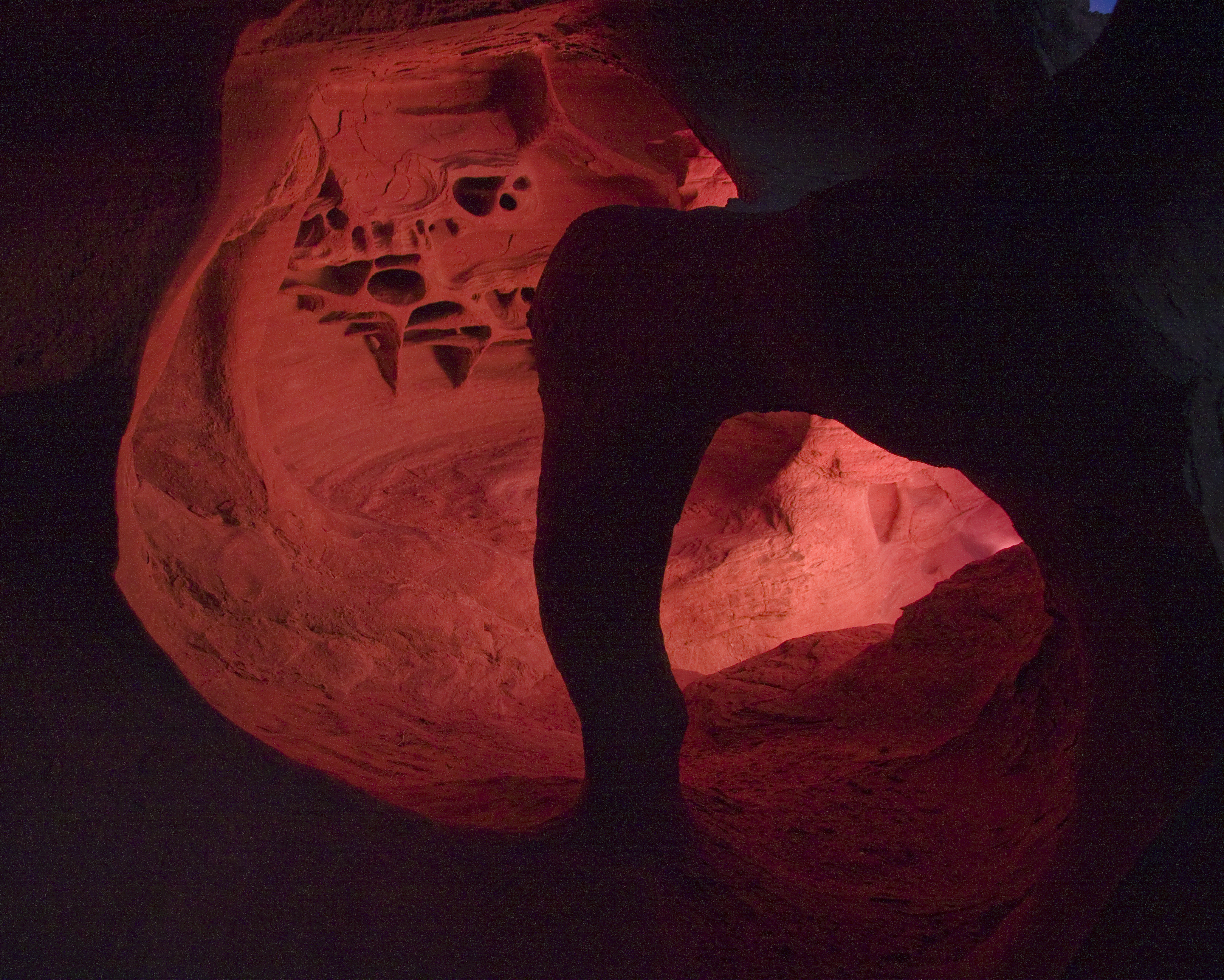
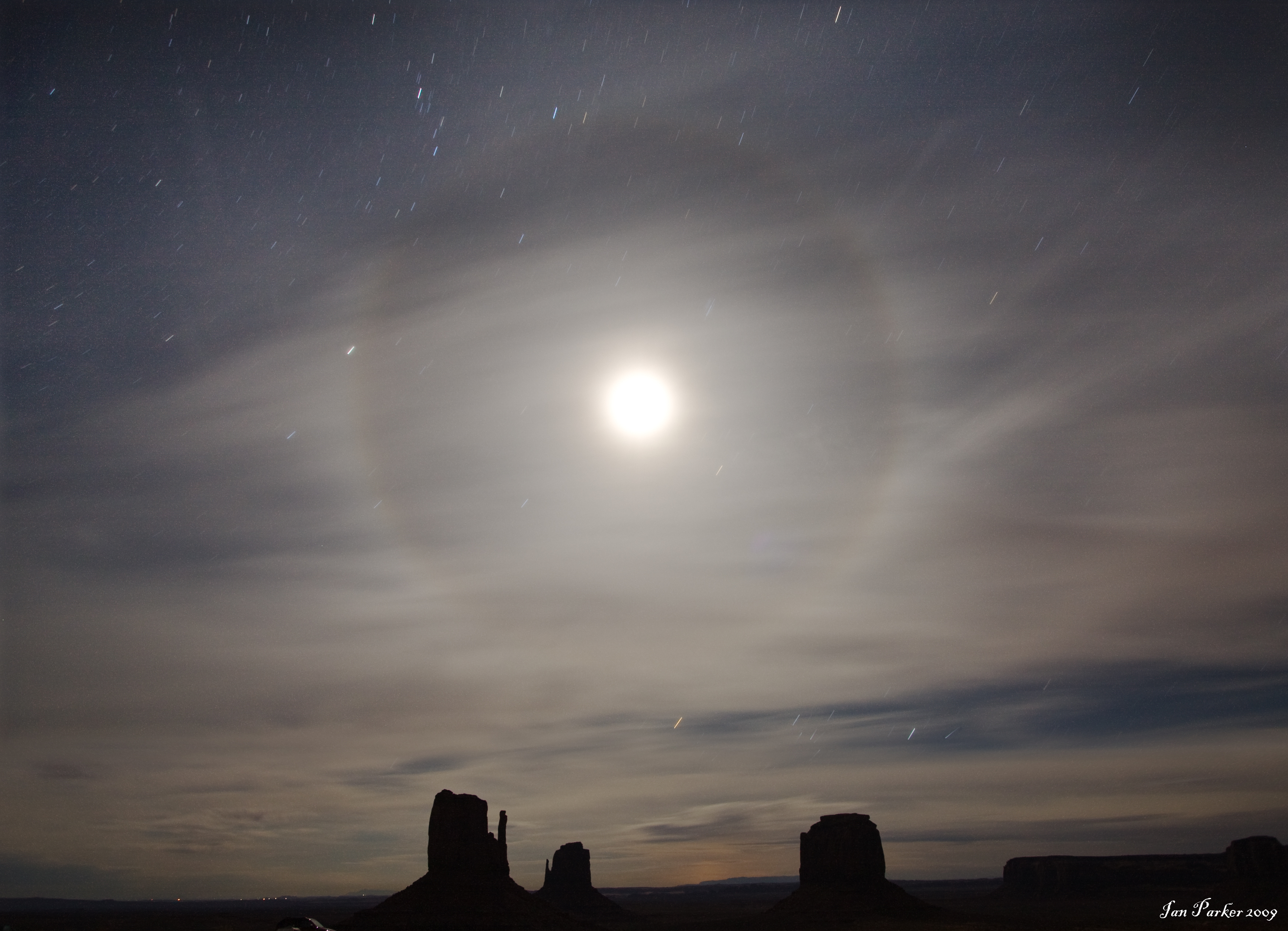
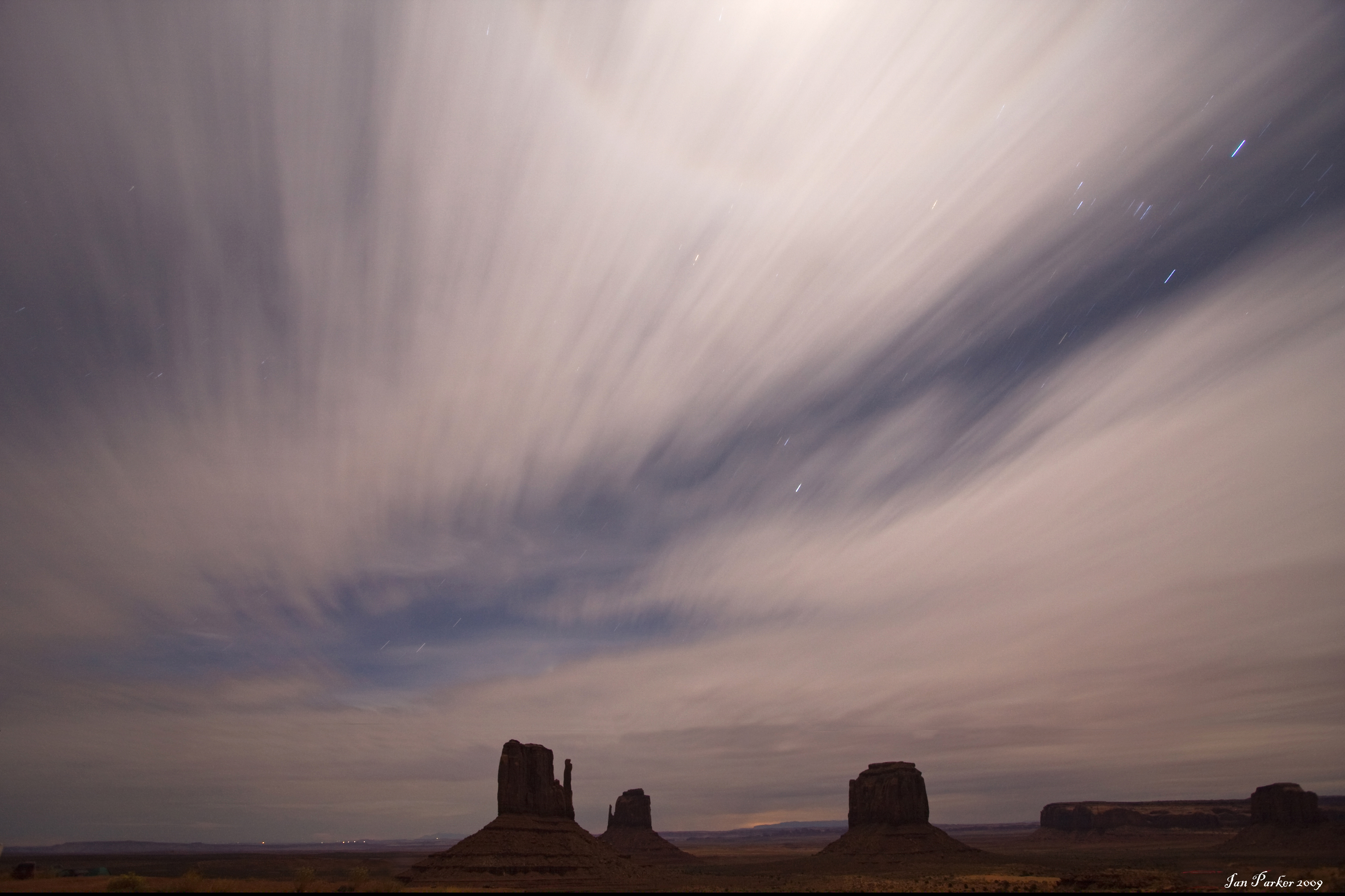
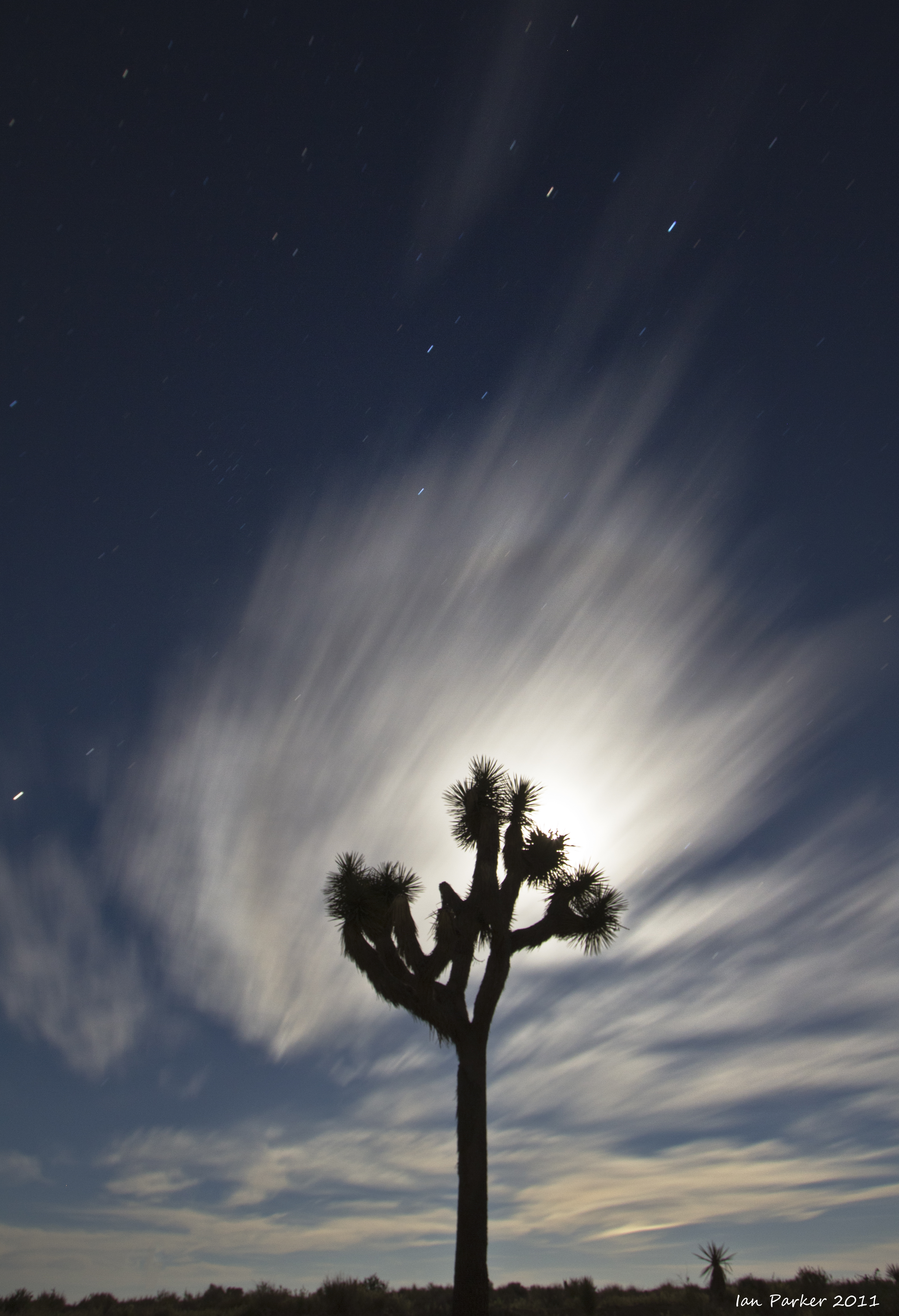
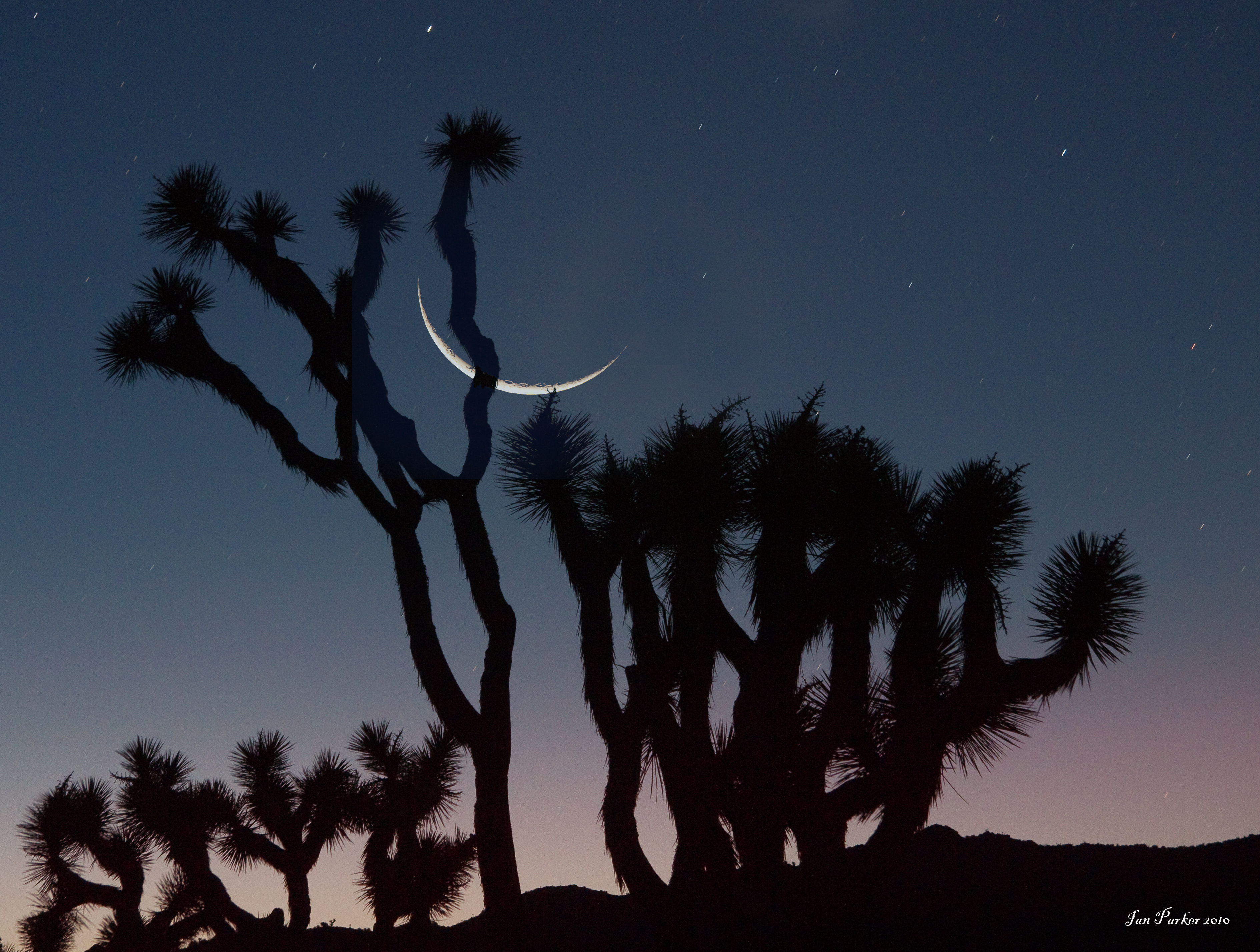
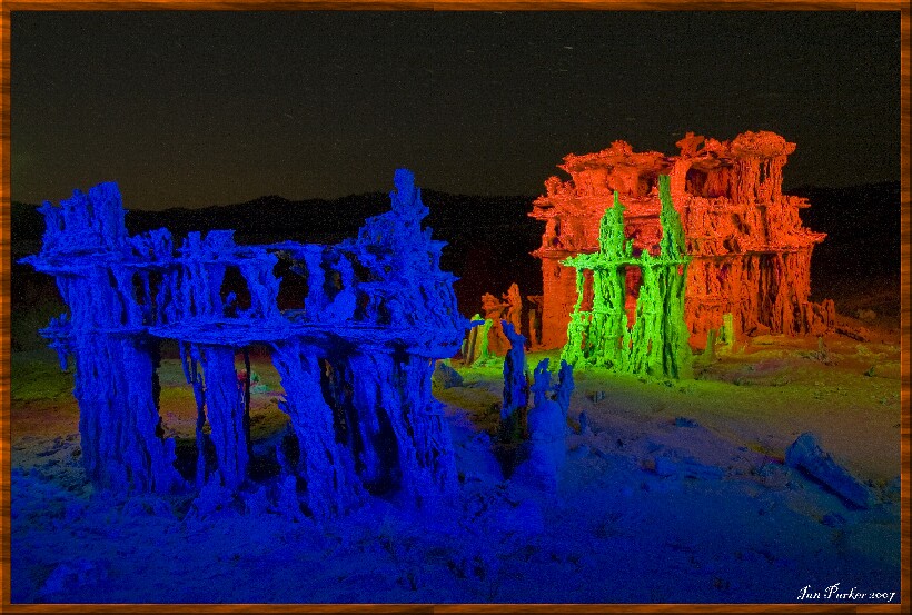
Photos in this gallery were taken at night, using long exposure with a tripod-mounted camera. Light sources usually involved a mix of natural light (moon, starlight, residual twighlight) supplemented by 'lightpainting', using a hand-held flashlight to 'paint in' selected features. Visit the NOCTURNES website for more information and examples of this technique.
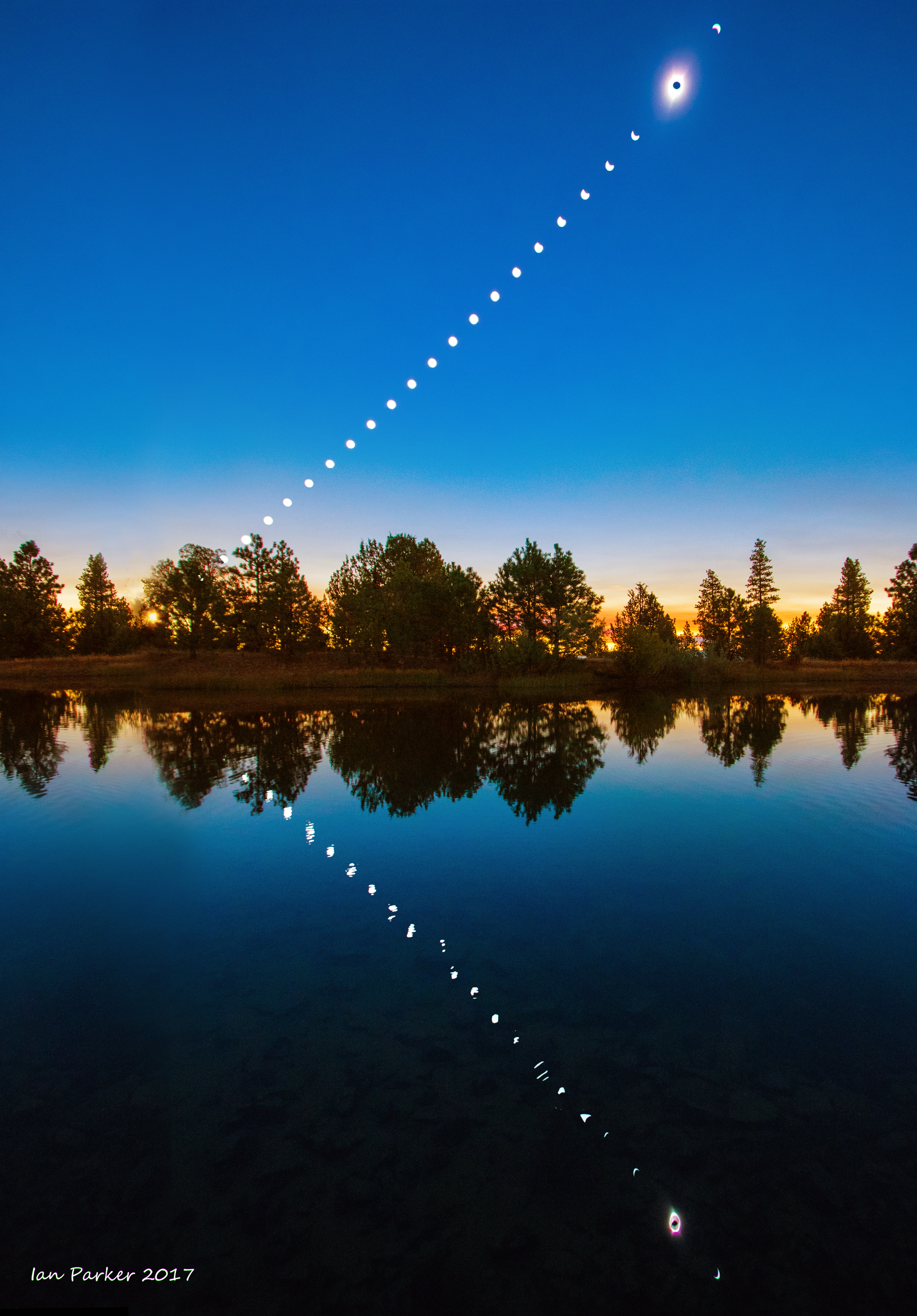
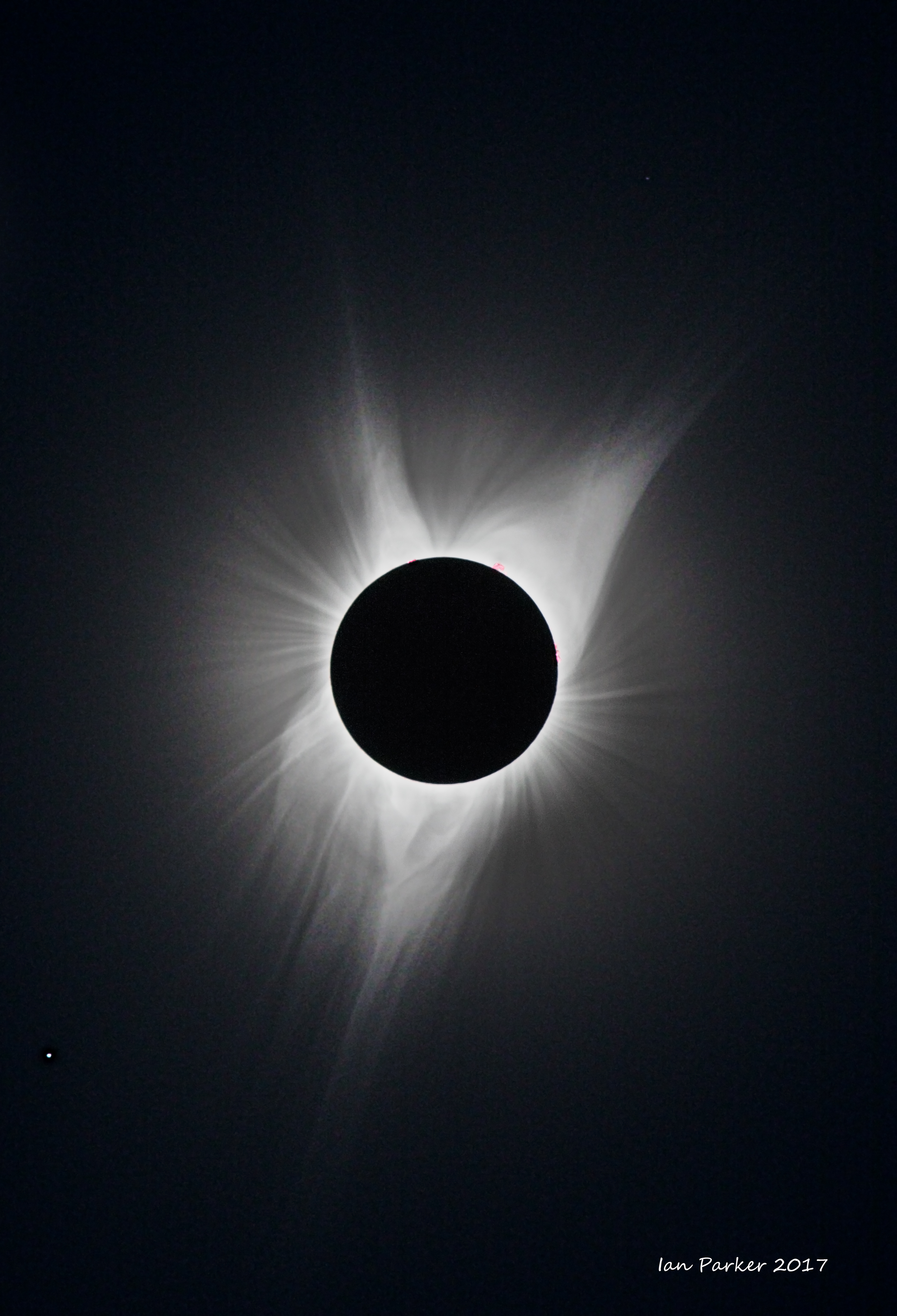
Total solar eclipse of August 21st 2017, viewed from Oregon
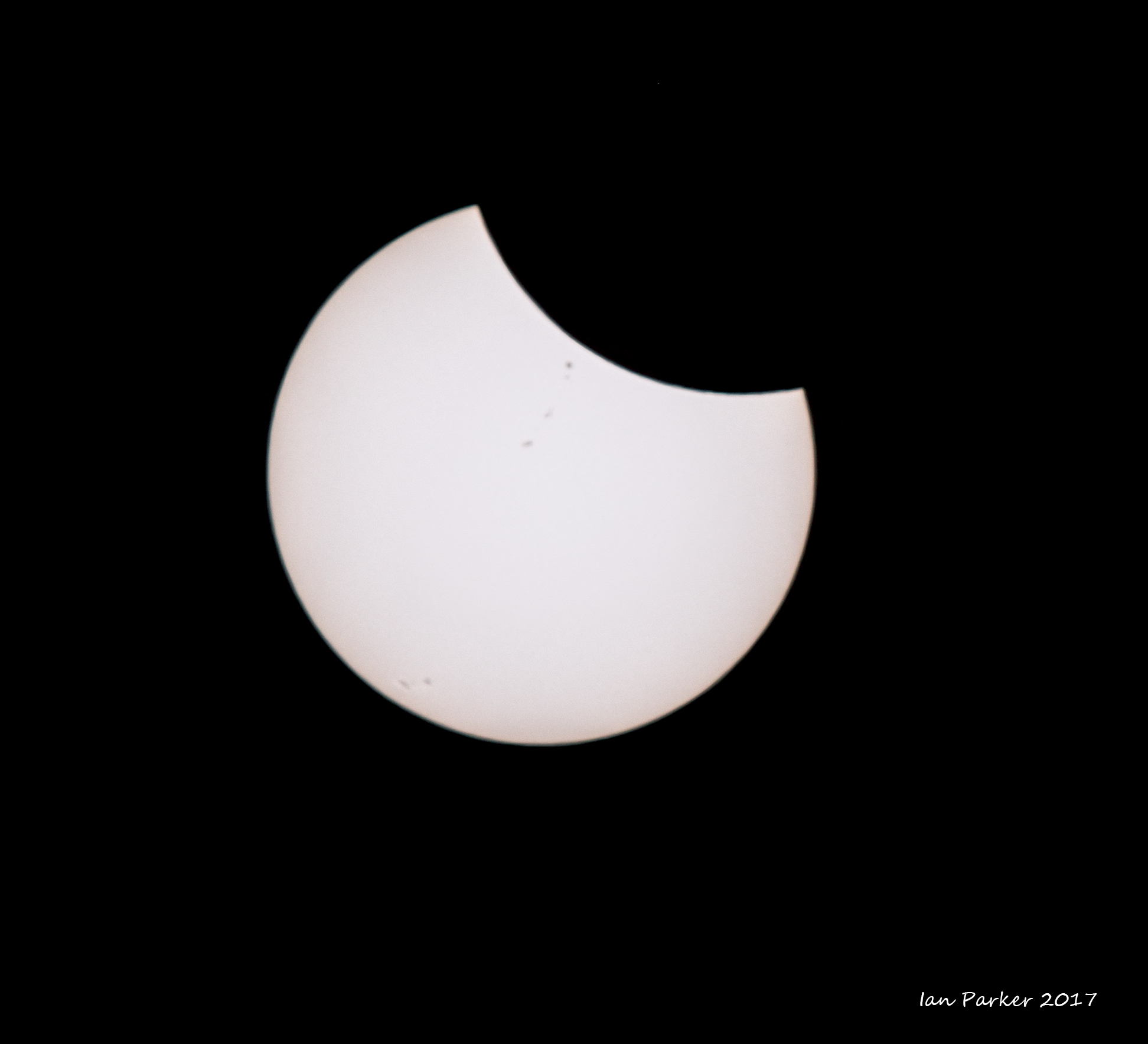
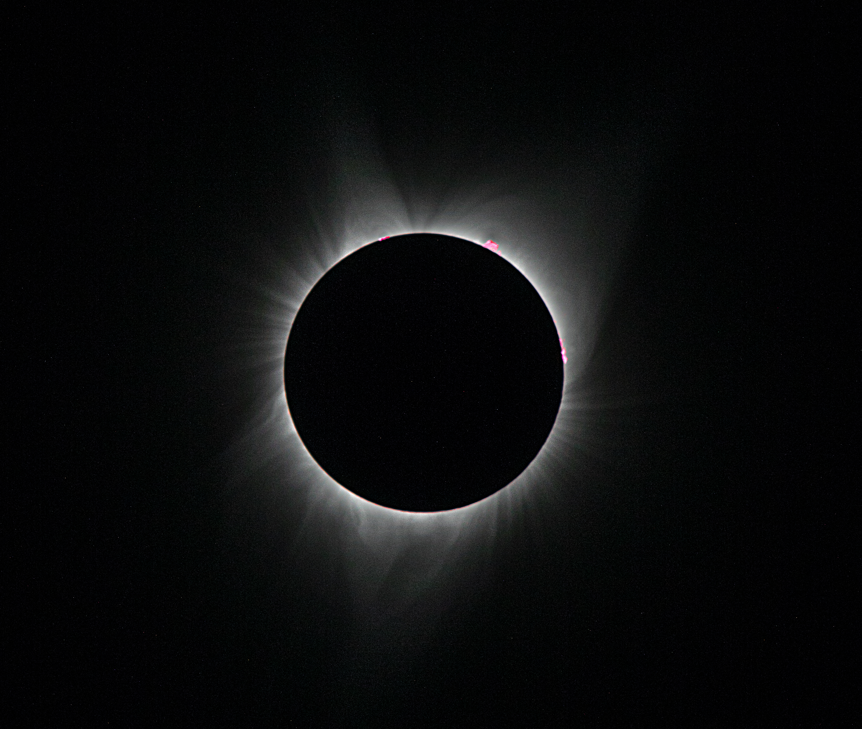
Annular solar eclipse of October 14, 2023 from northern Nevada
An interesting aspect of an annular eclipse is the appearance of Baily’s beads. These are beads of sunlight either disappearing or reappearing through deep lunar valleys along the limb of the Moon. Although Baily’s beads can be seen at the centerline of the eclipse path, they appear for only for a few seconds. In contrast, at the edge of the path is it possible to see the beads speed up and slow down for a few minutes before and after peak obscuration. This is the so-called “grazing zone”. Whereas eclipse maps show straight lines representing the edges of a path, it is actually an irregular shape defined by the Moon's bumpy terrain. High-resolution data from NASA’s Lunar Reconnaissance Orbiter (LRO) now make it possible to plot the “grazing zone” on Earth, a region roughly 3 km wide. I used Xavier Jubier’s wonderful interactive Google eclipse maps to select a location in the Black Rock desert about 3 miles north of Fly Gyser,. a site I had long wanted to photograph and which was conveniently accessible later on the same day through a tour organized by the Friends of the Black Rock Desert. The eclipse would peak at 9.31 am, but the prospects of seeing it seemed poor when we crawled out from our tent at dawn to find the sky completely overcast with dark clouds. Over a few hours, however, the clouds started to thin. With only ten minutes to go we began to make out the largely eclipsed sun through the cloud, and a patch of blue sky drifted in the right direction to give a clear view at exactly the right time.
Transit of Venus : June 6, 2012
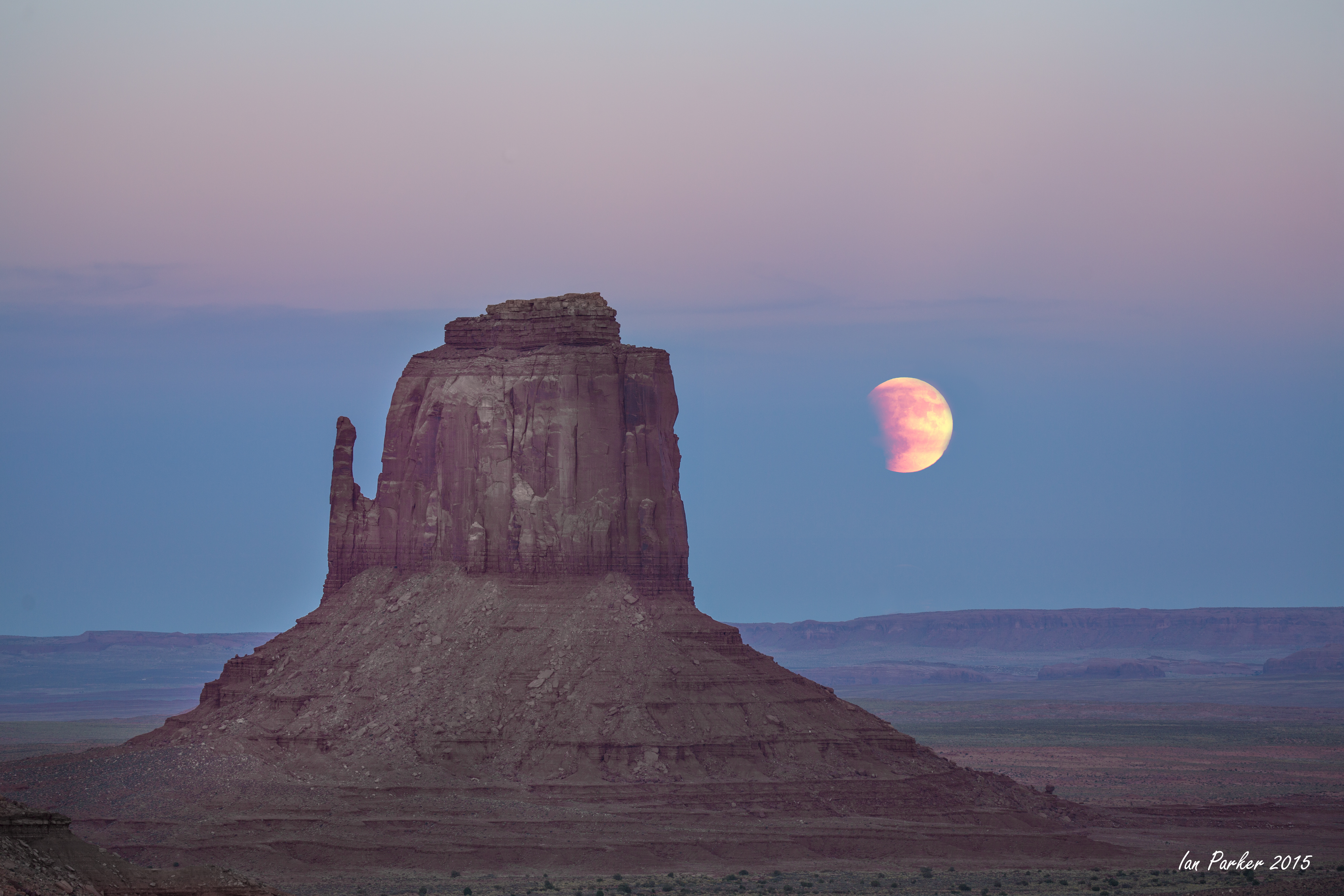
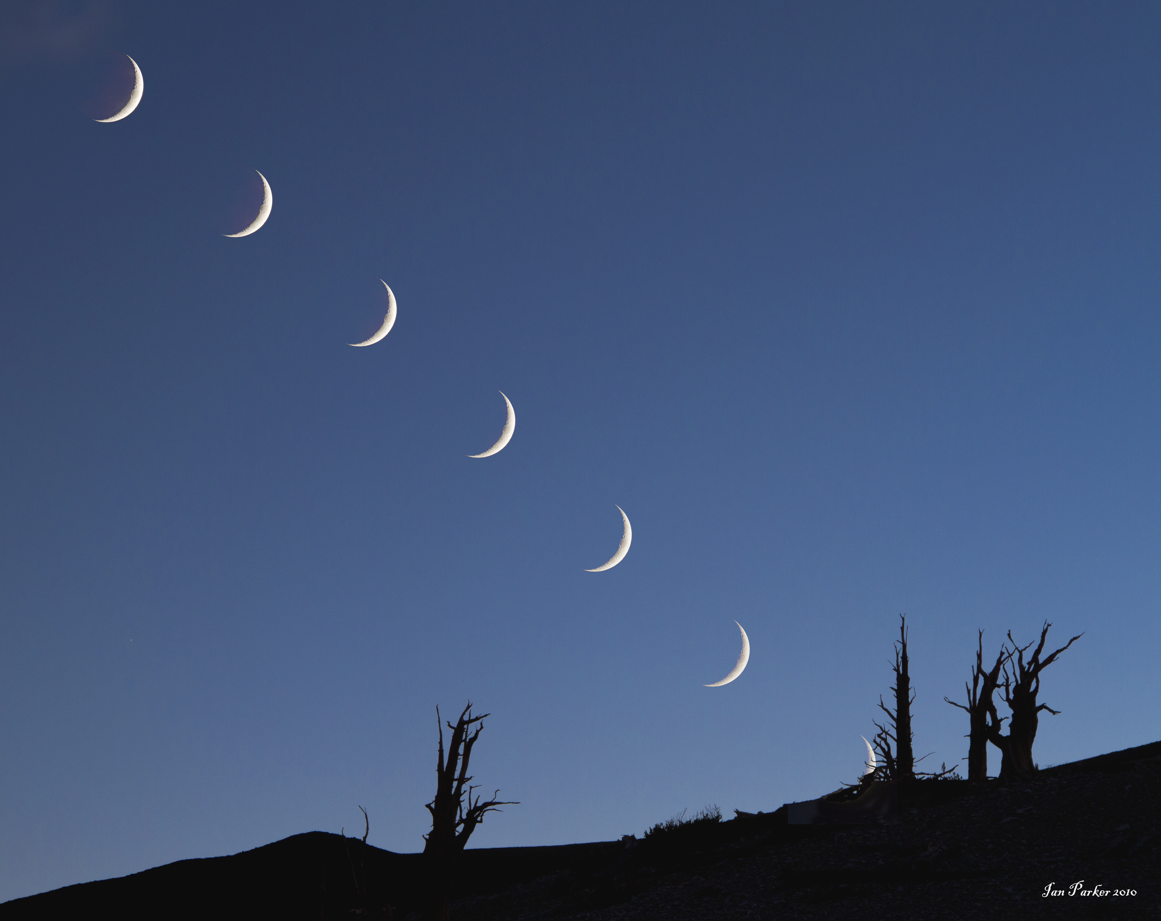
Lunar eclipses
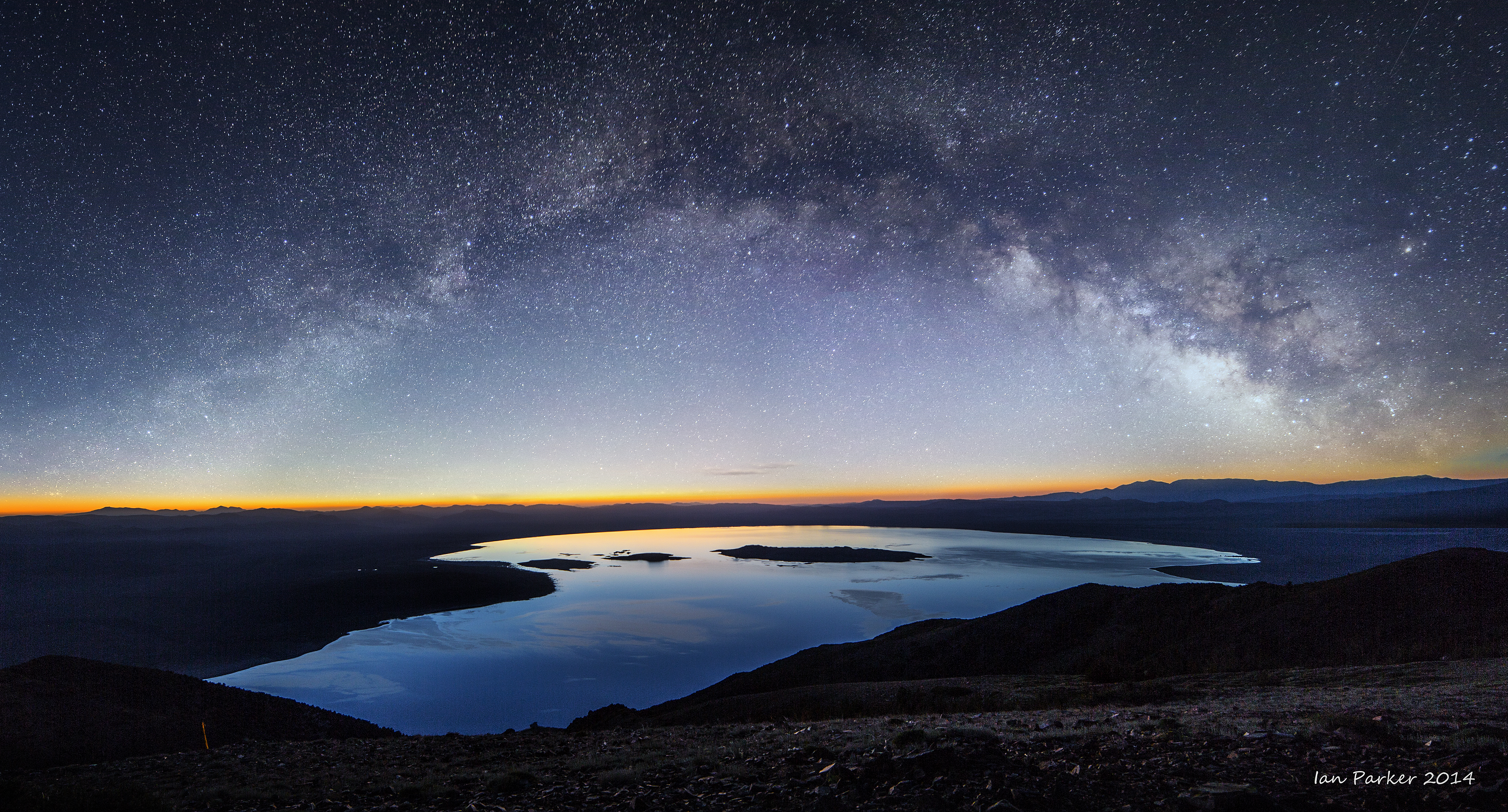
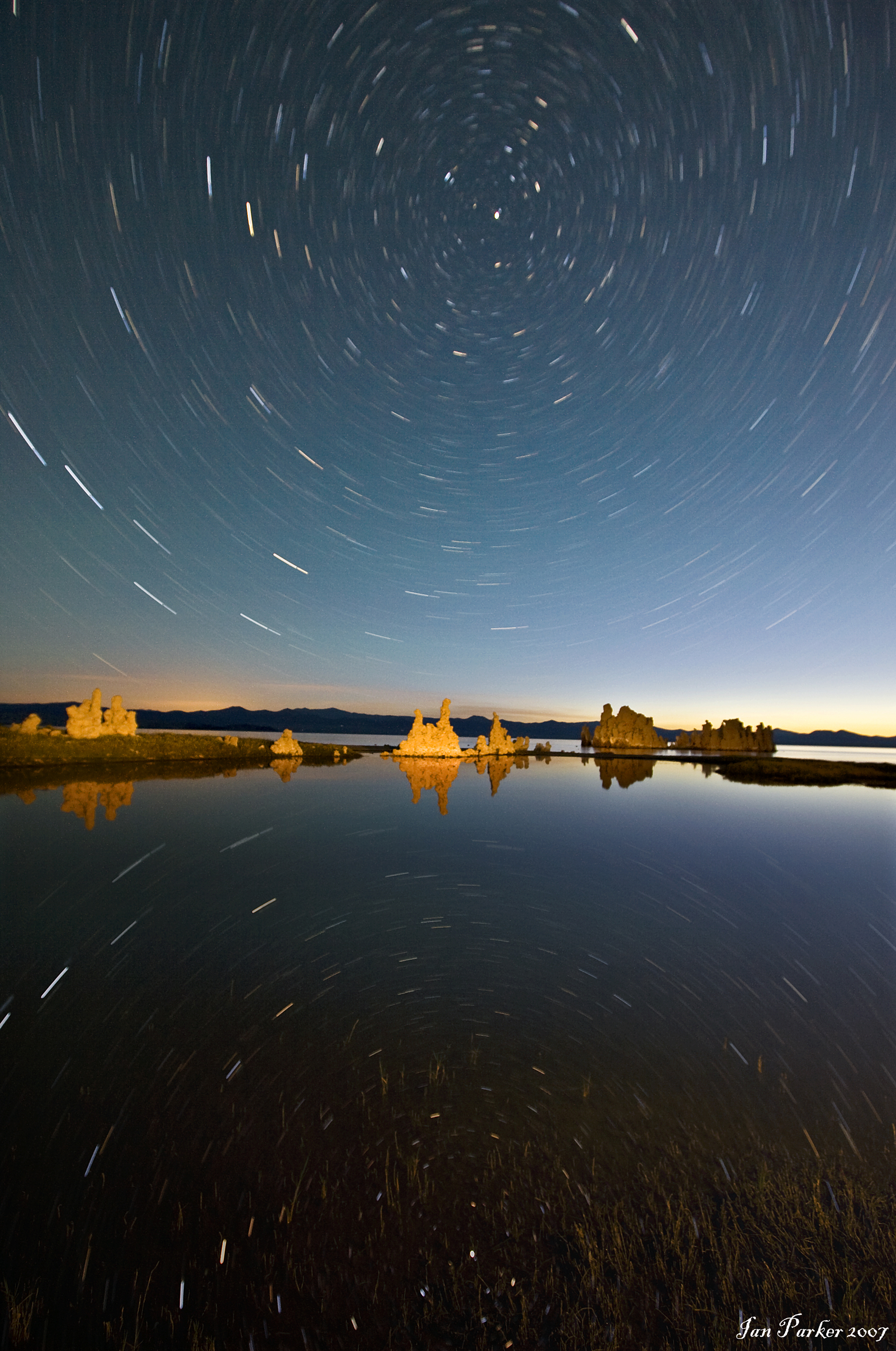
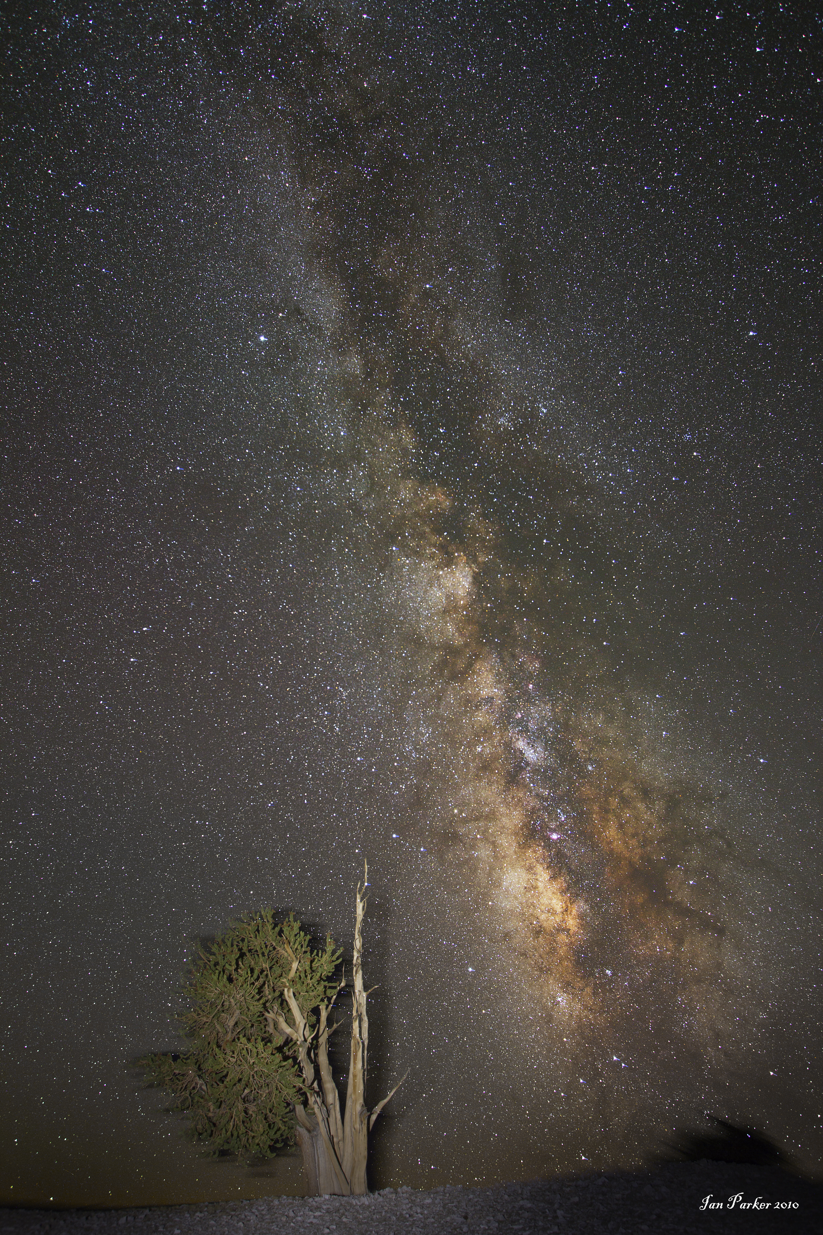
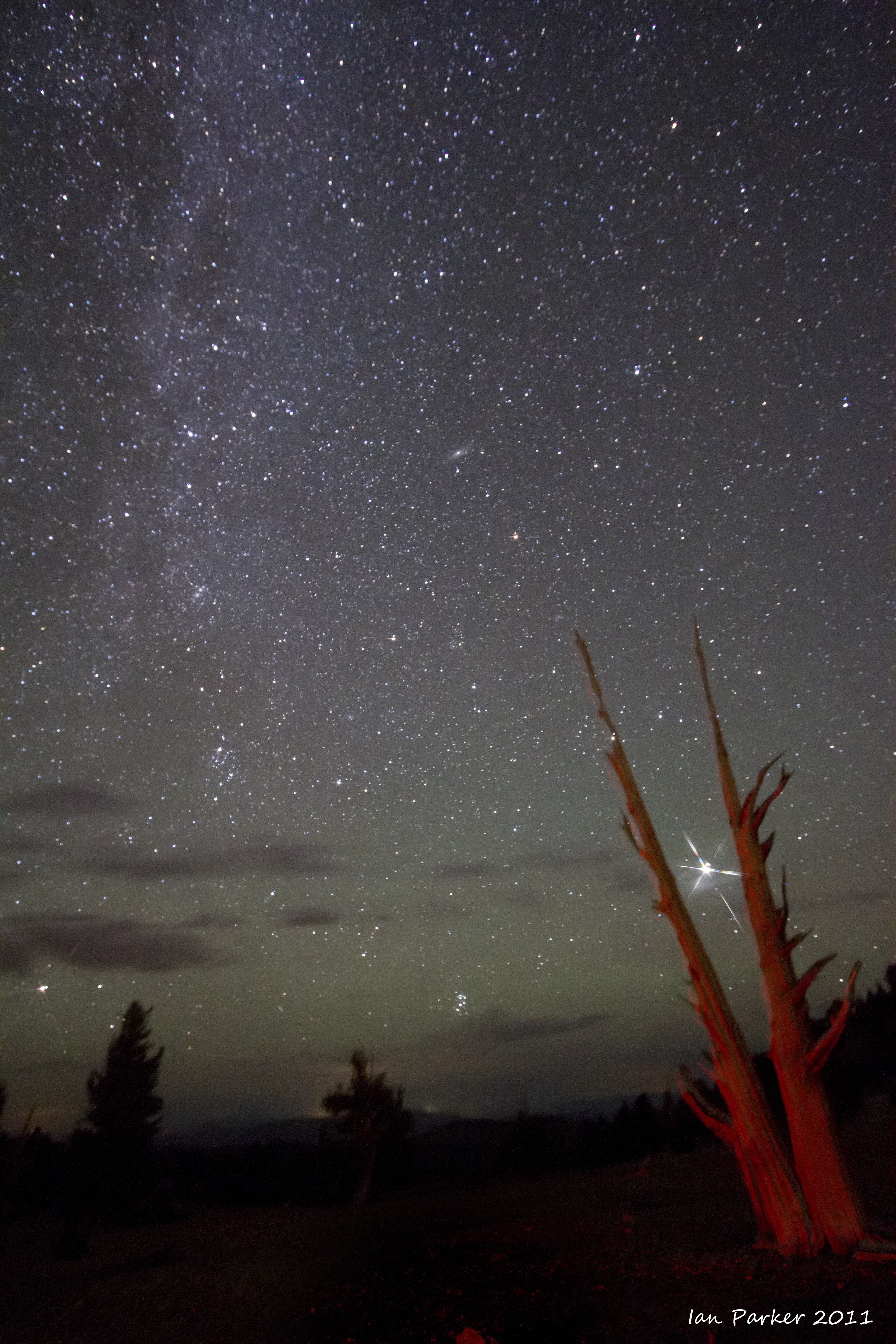
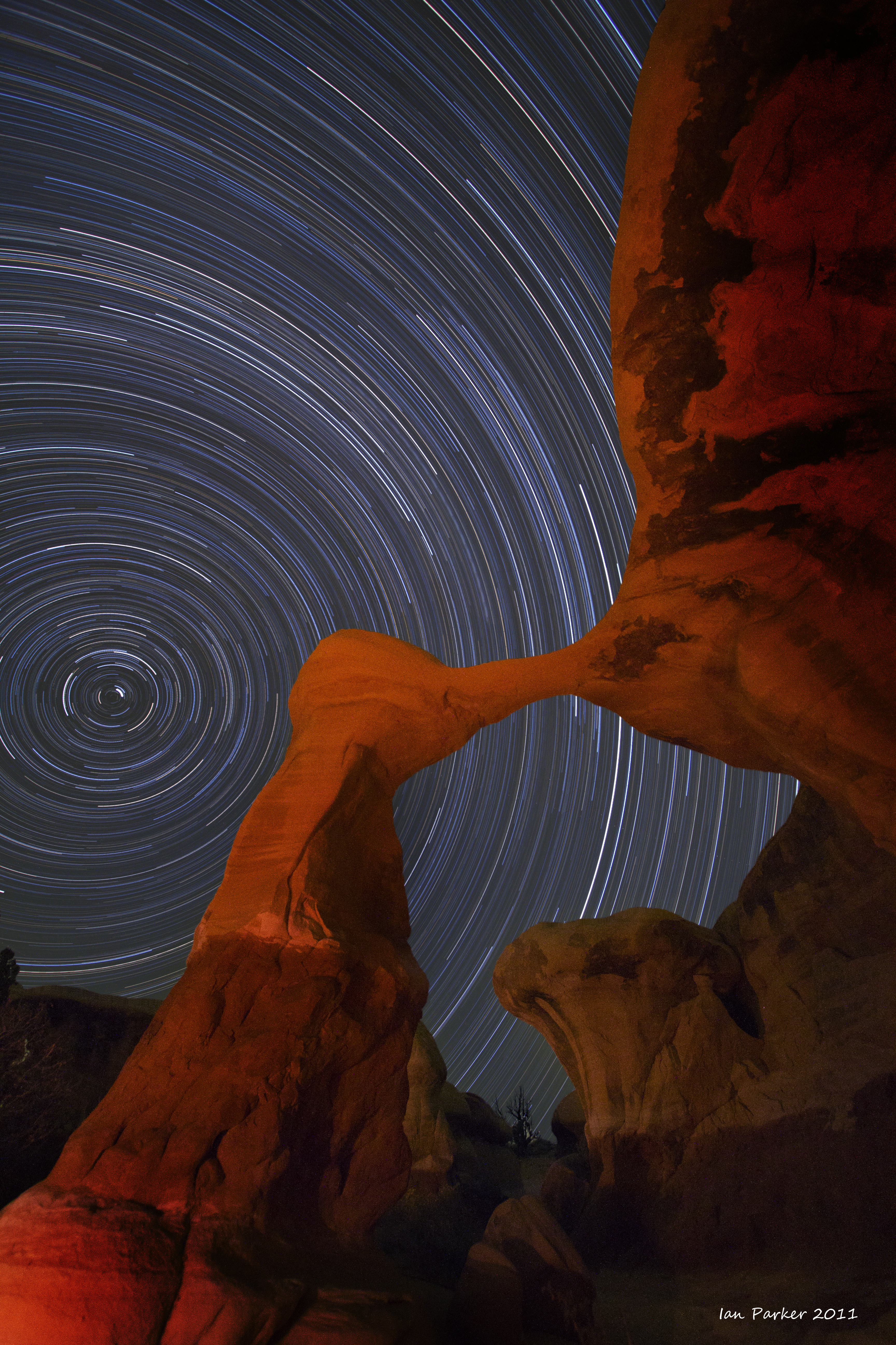
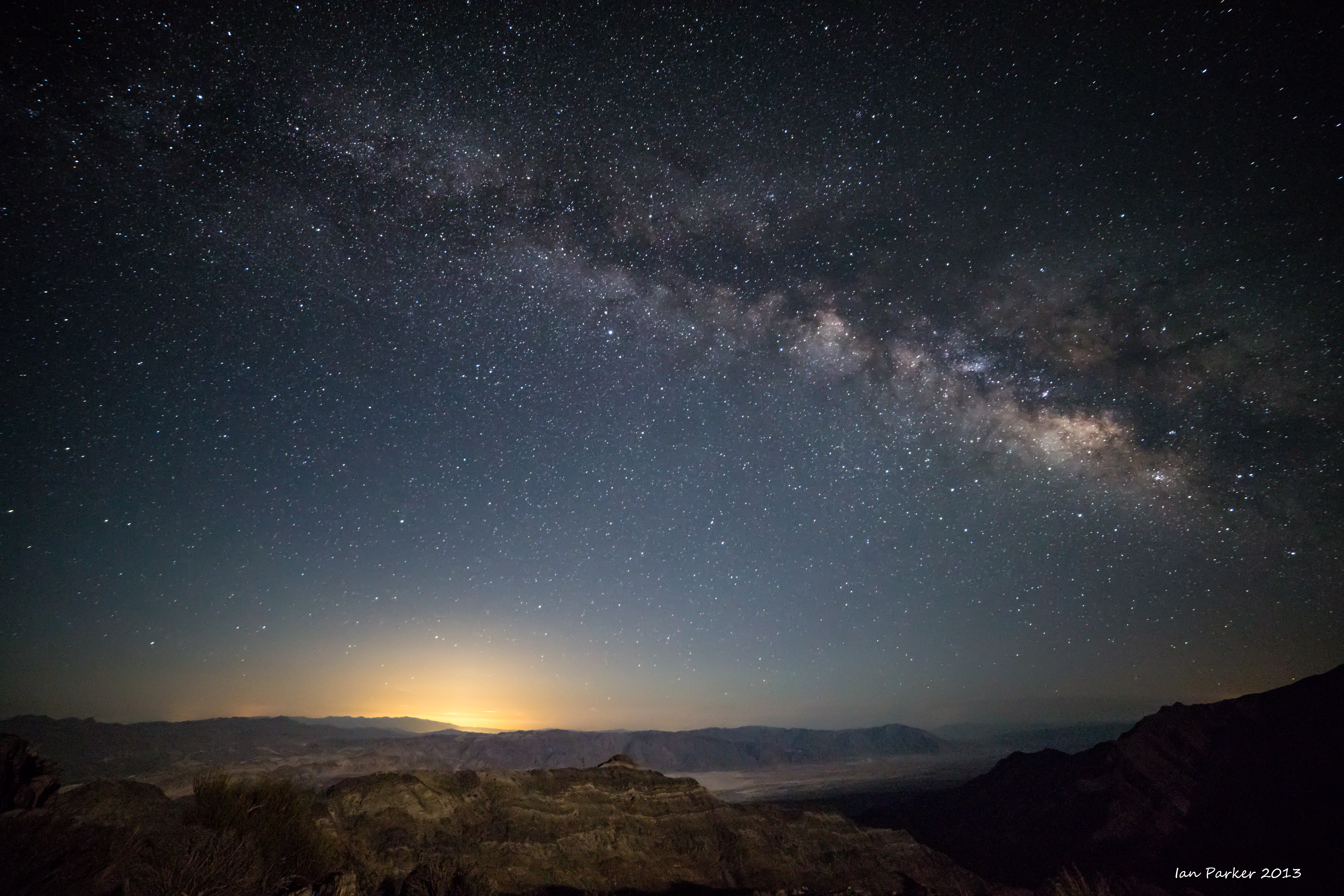
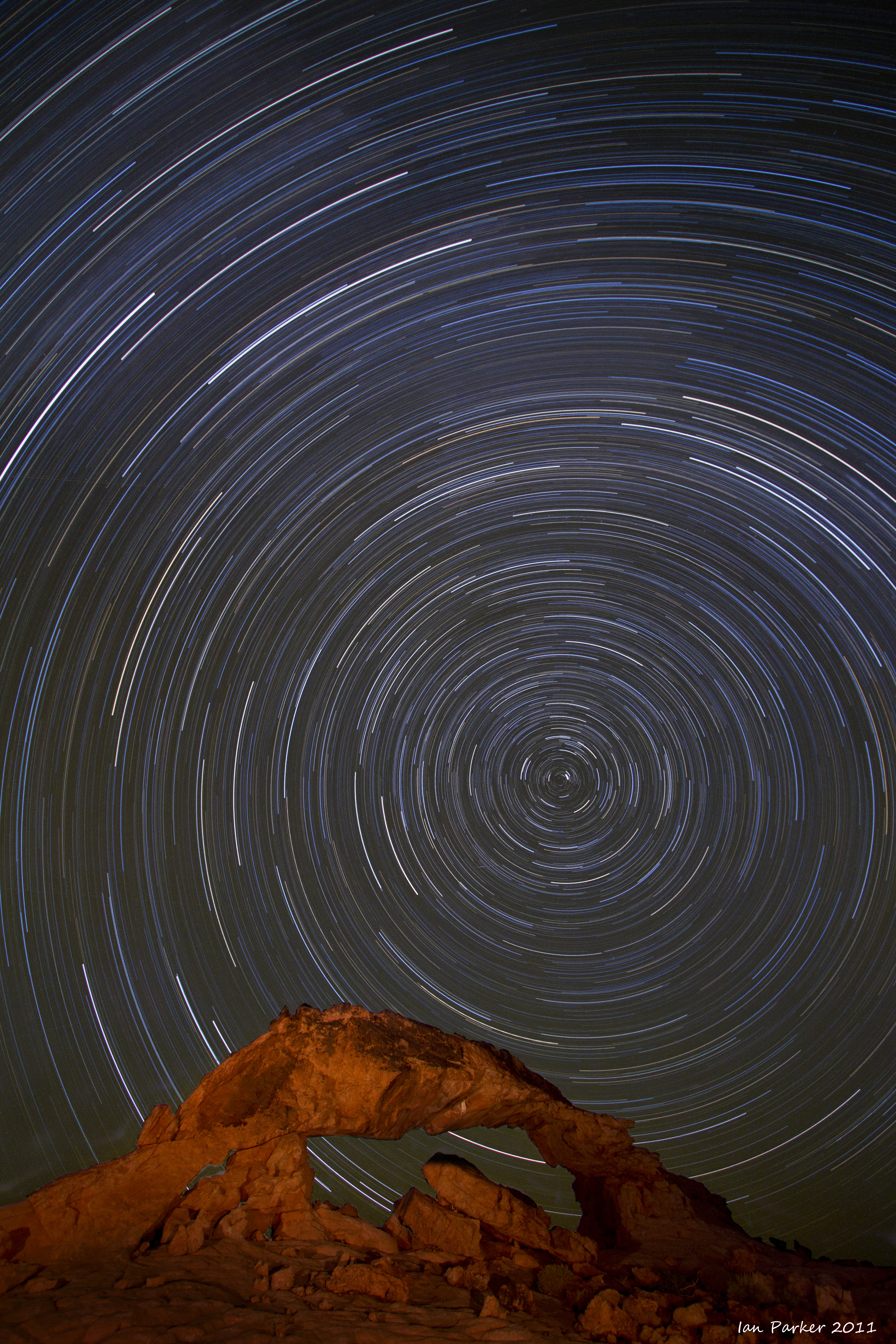
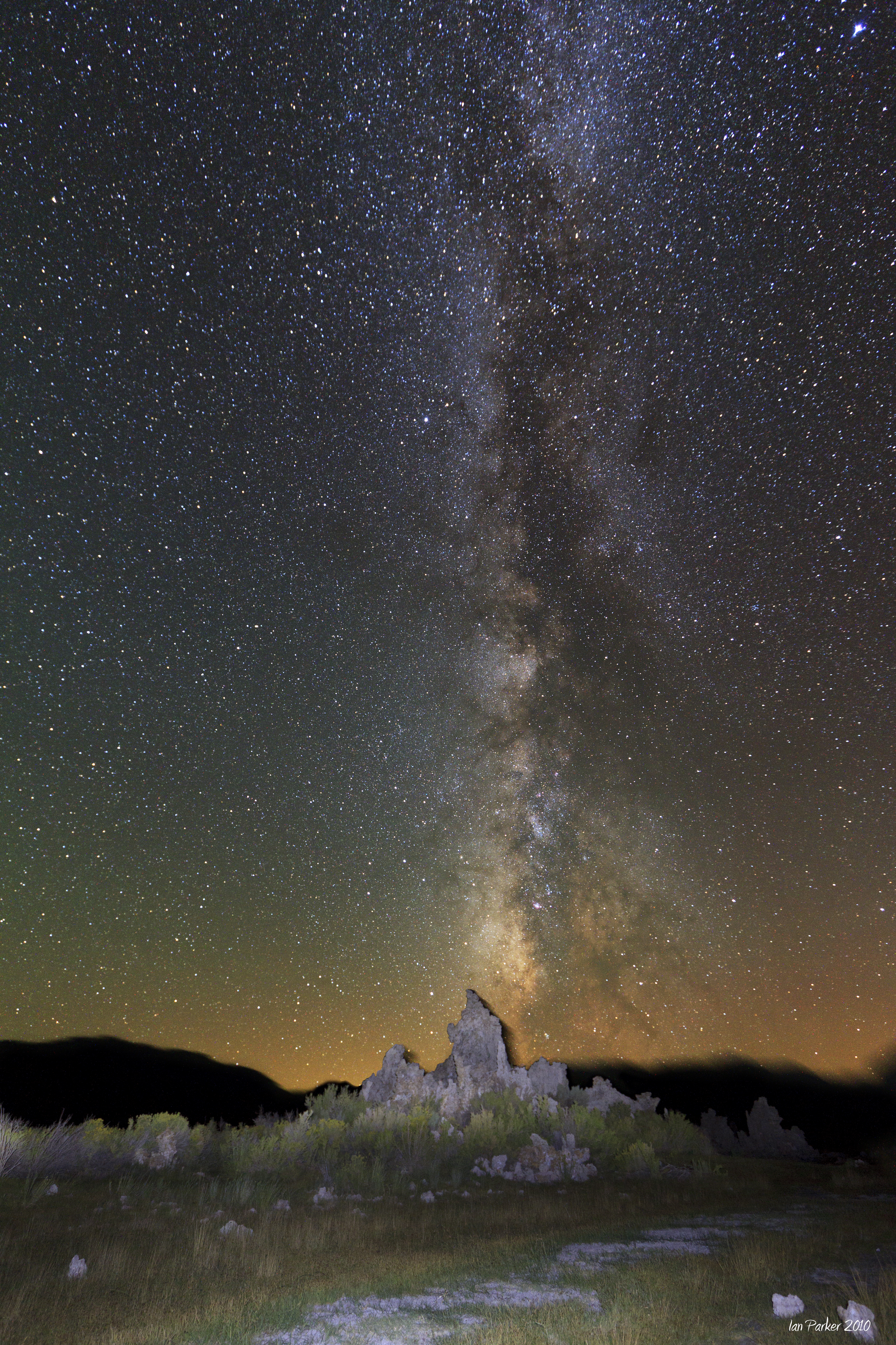
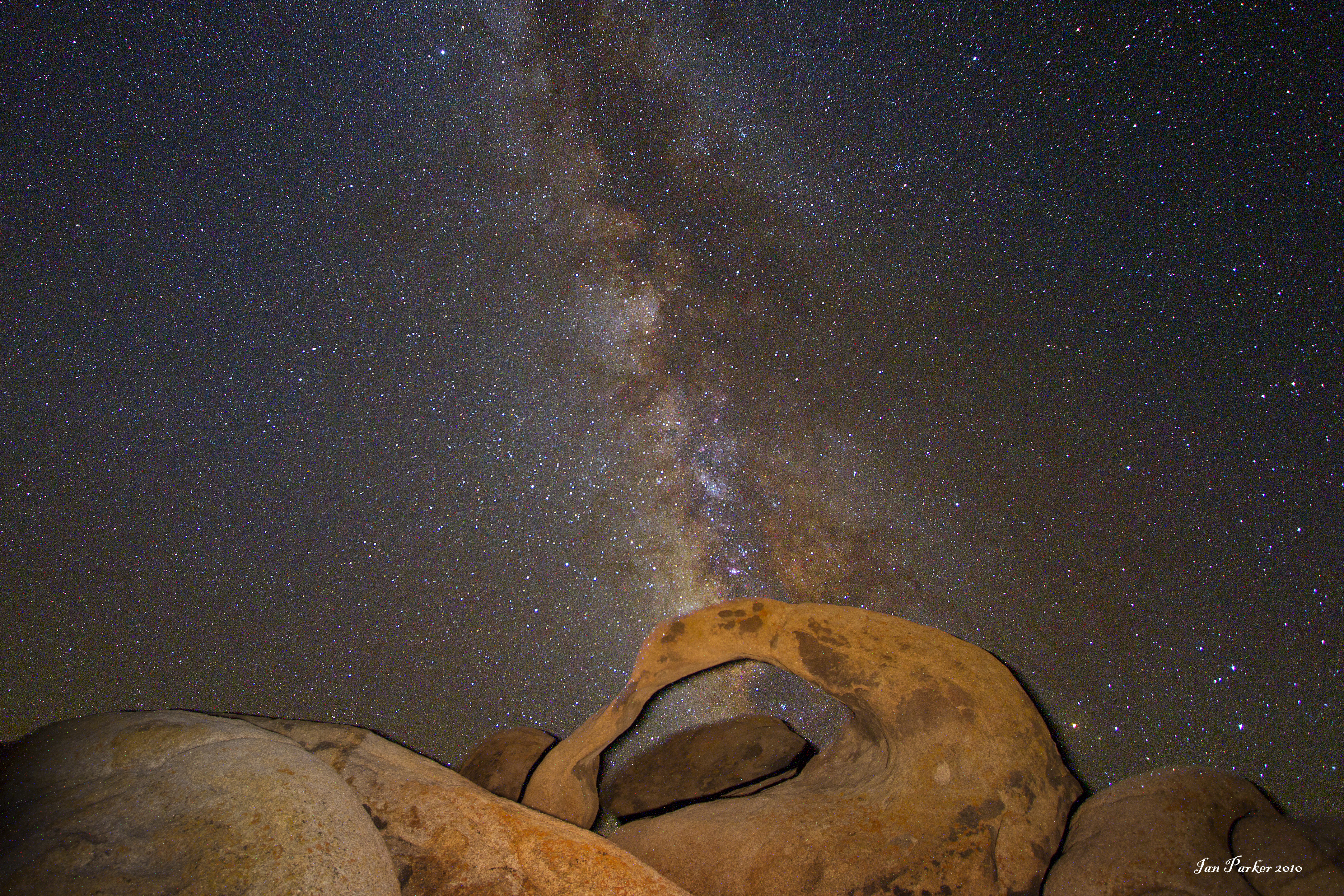
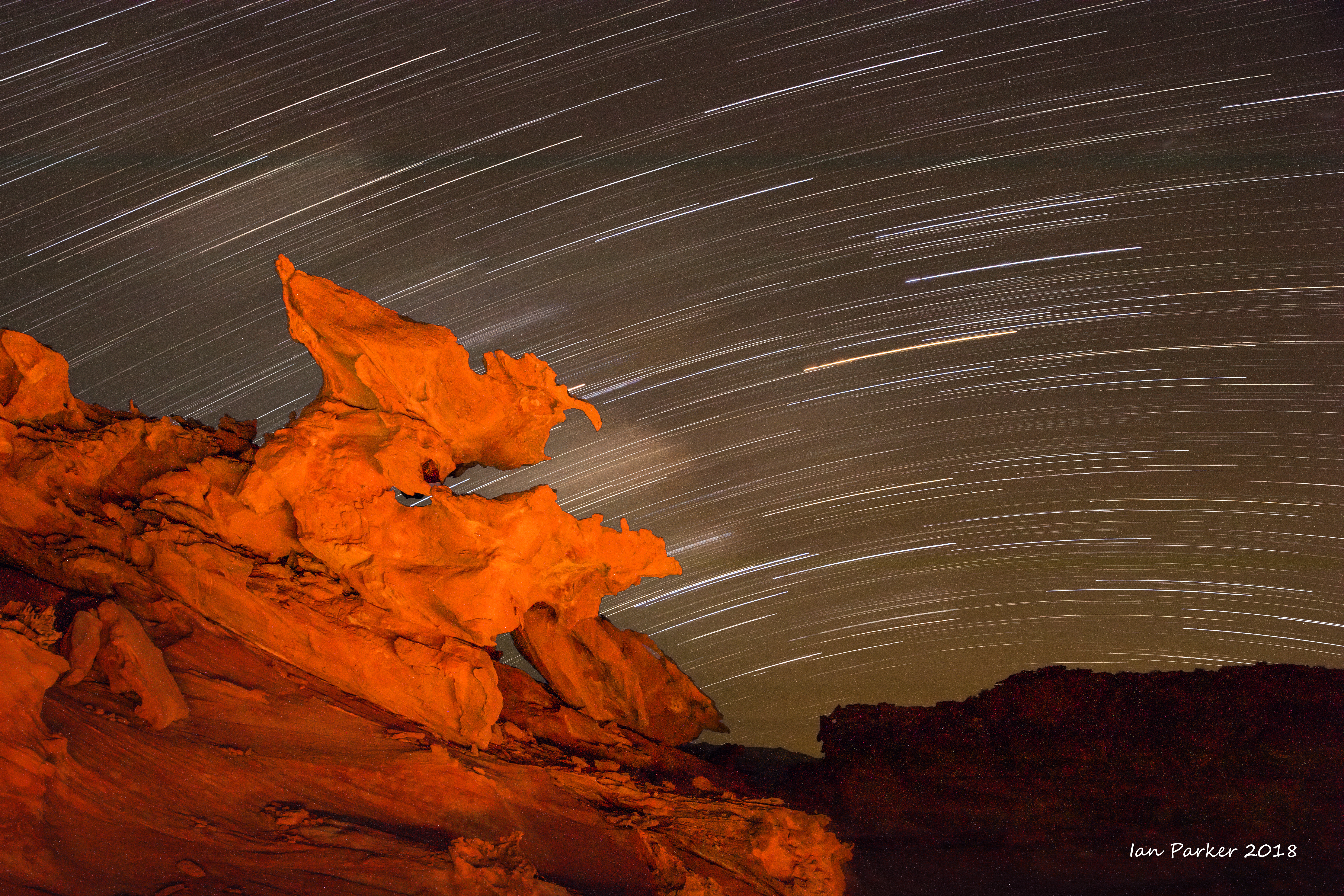
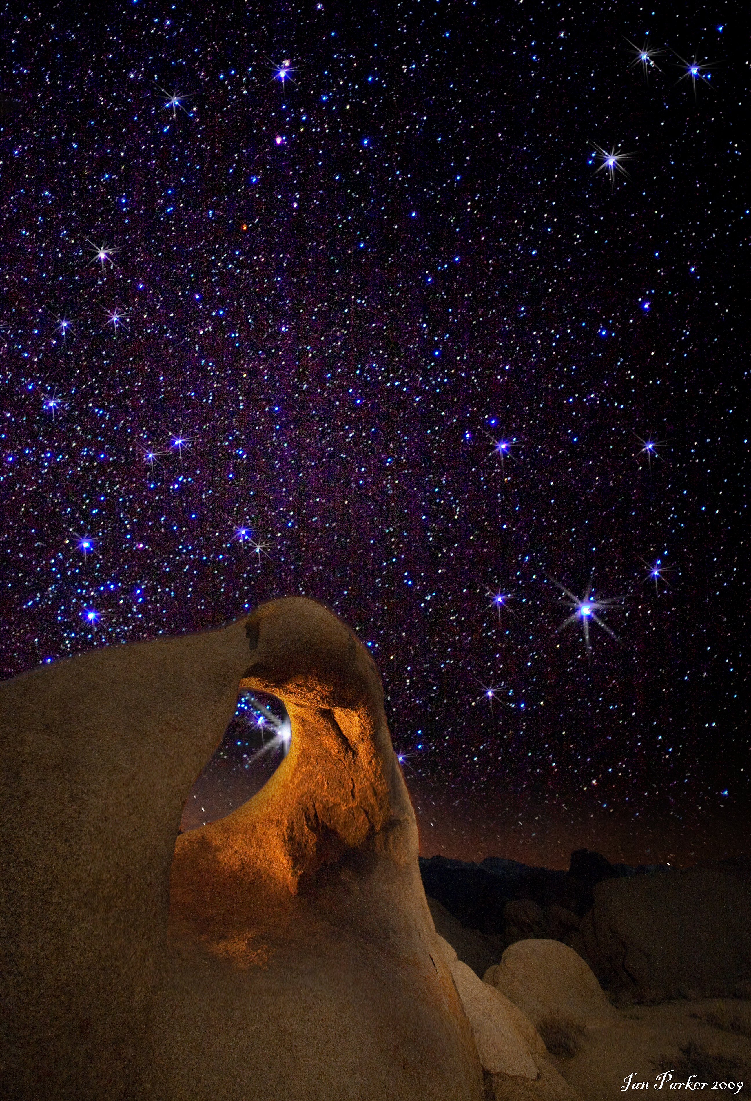
Milky Way, Startrails, Comet
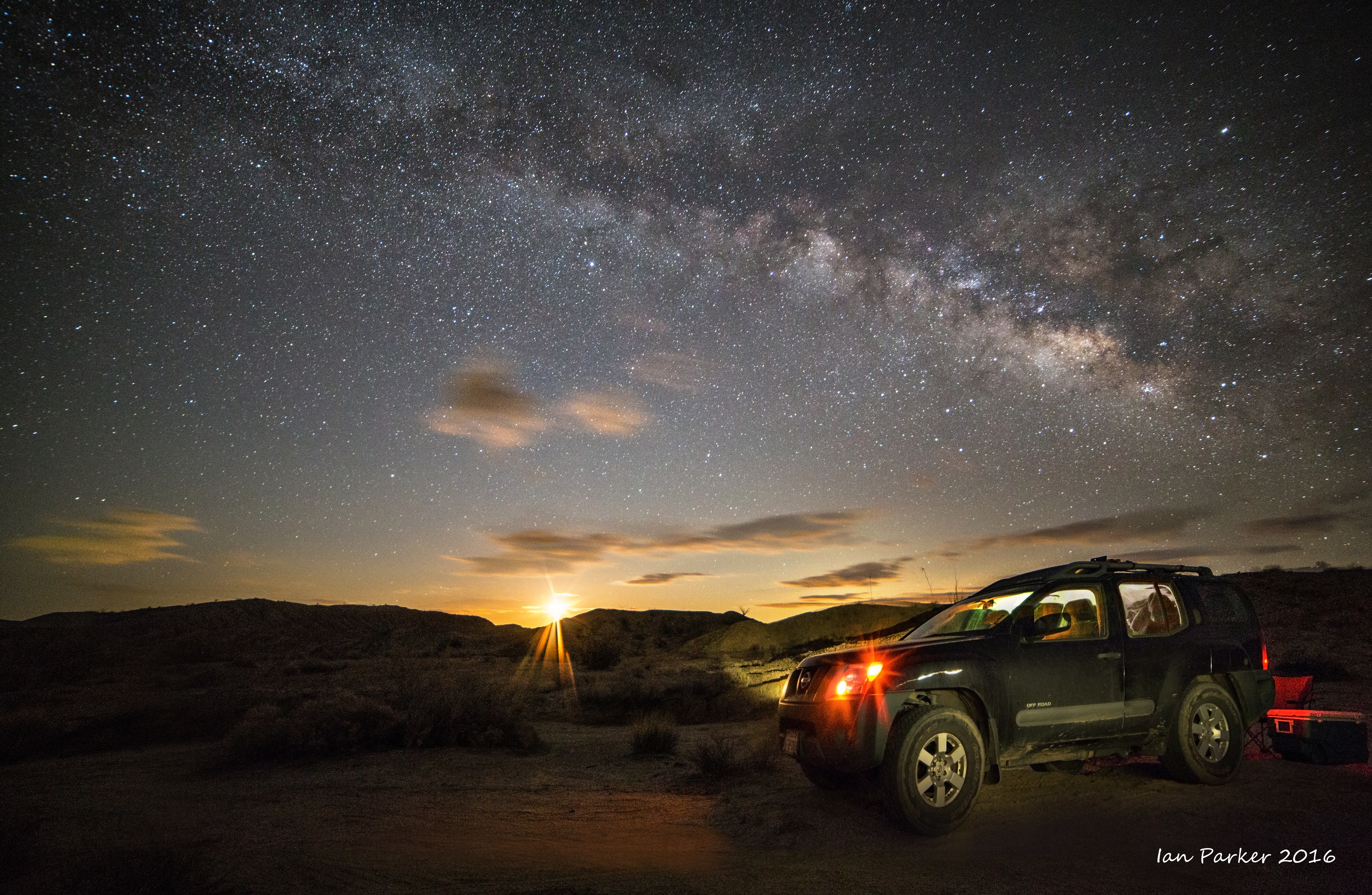
Dark skies and lightpainting |
click
|
|
|
|


.jpg)


_star%20%20circles_symmetric%20crop%20tweak.jpg)


