|
December 19-25: Torres del Paine National Park
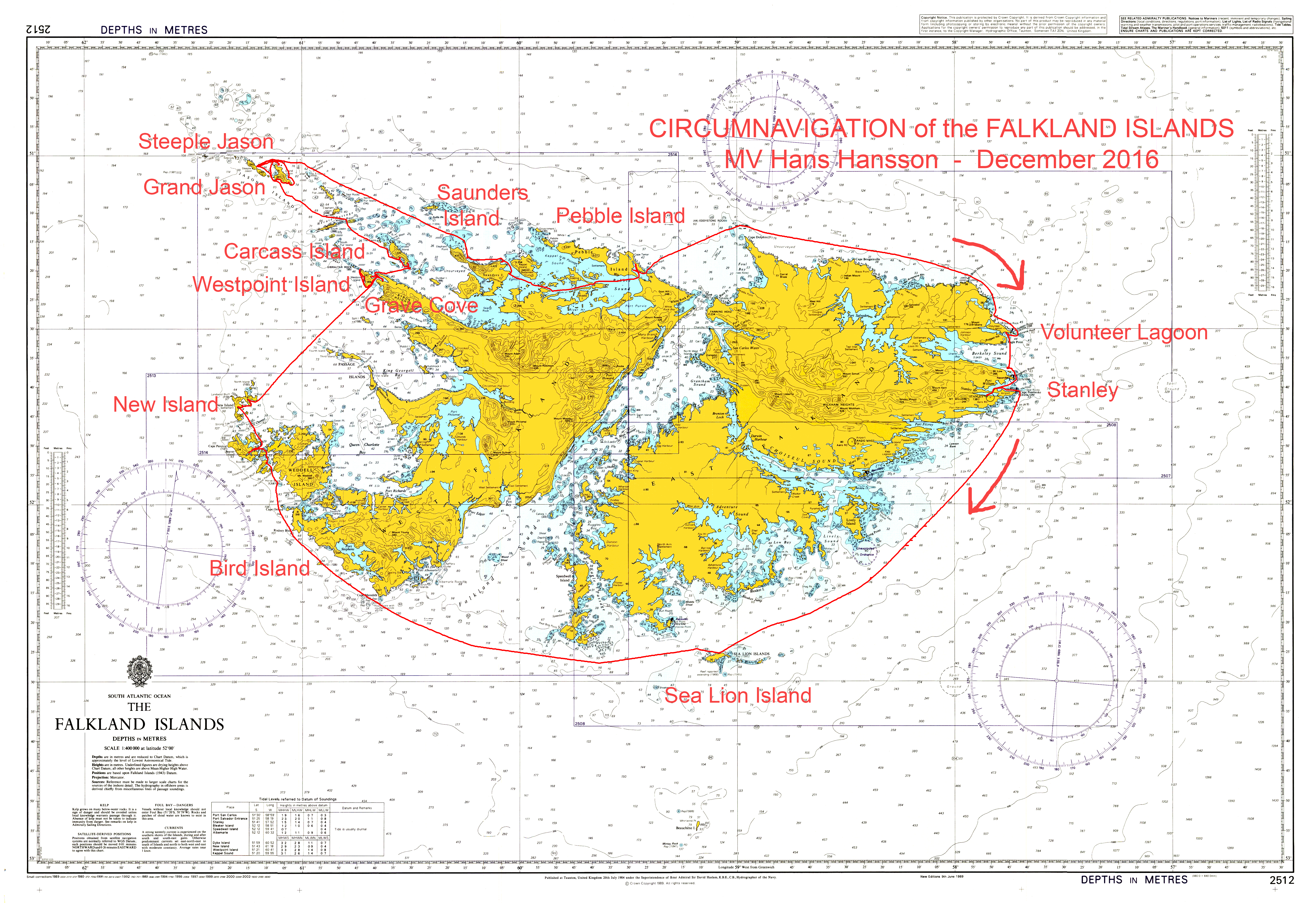
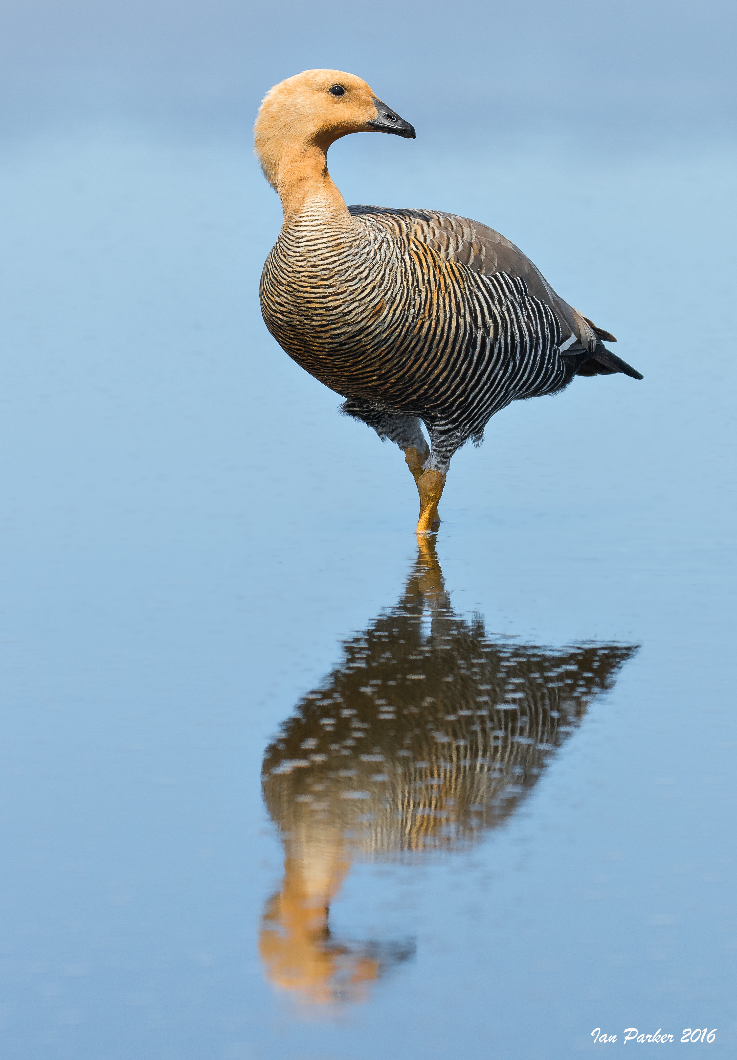
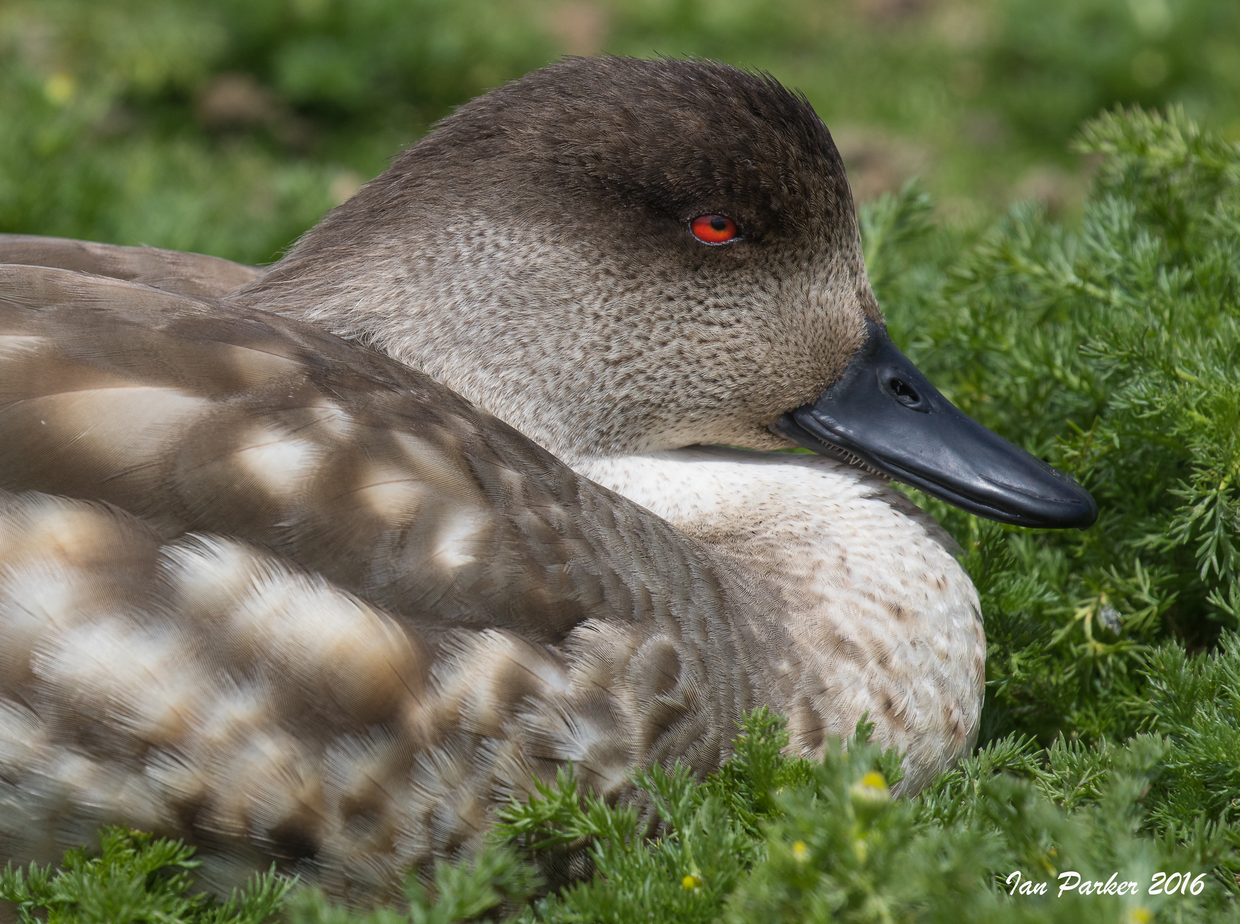
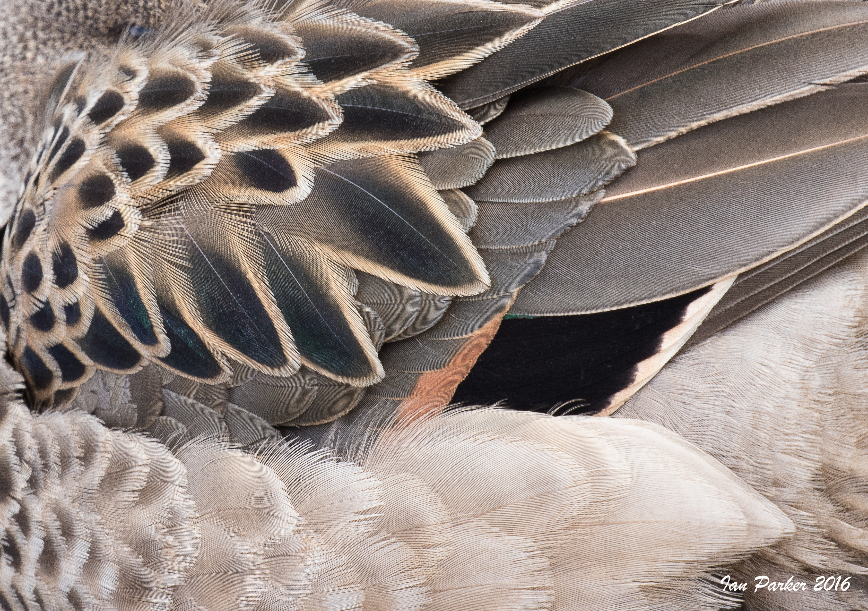
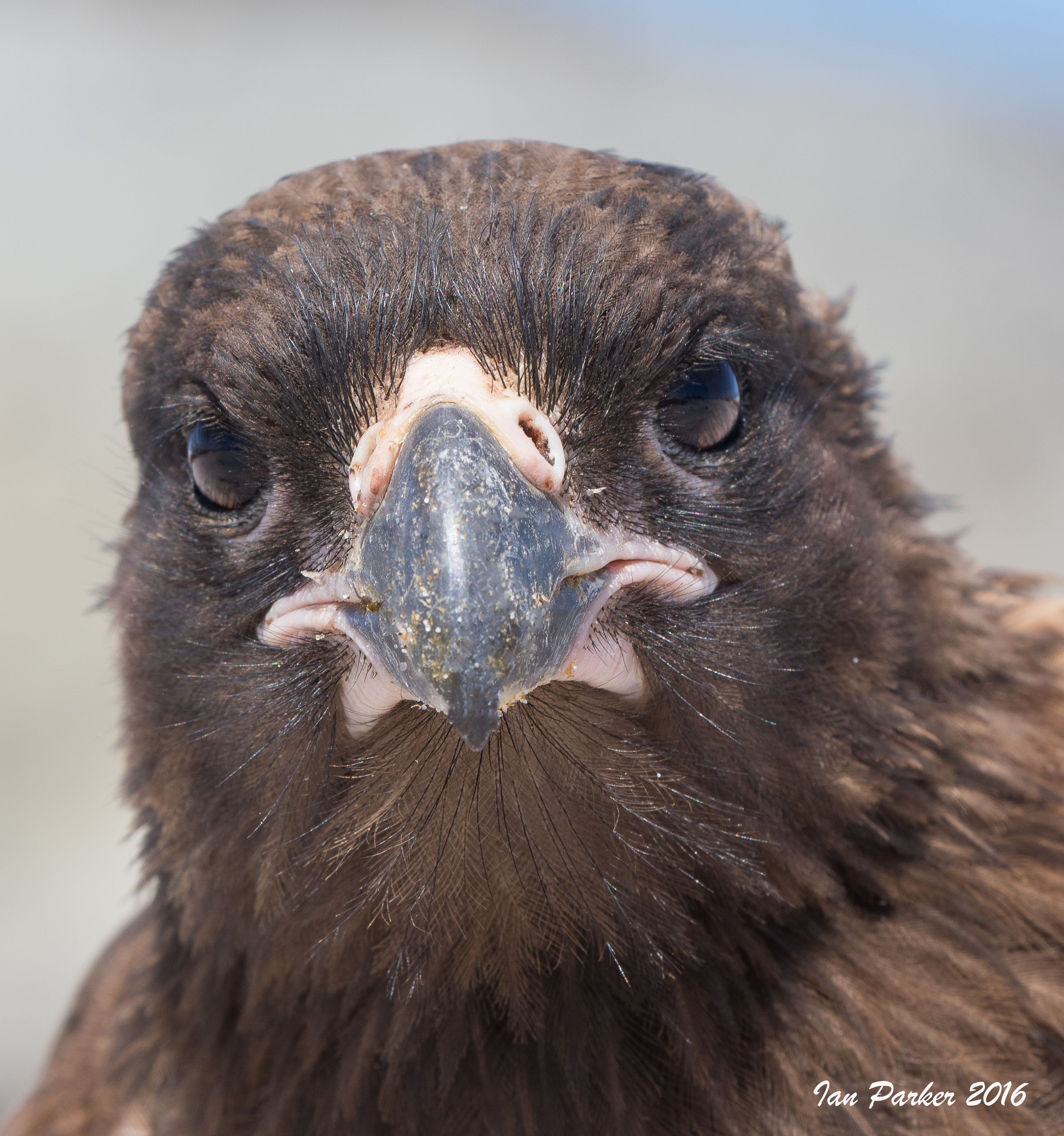
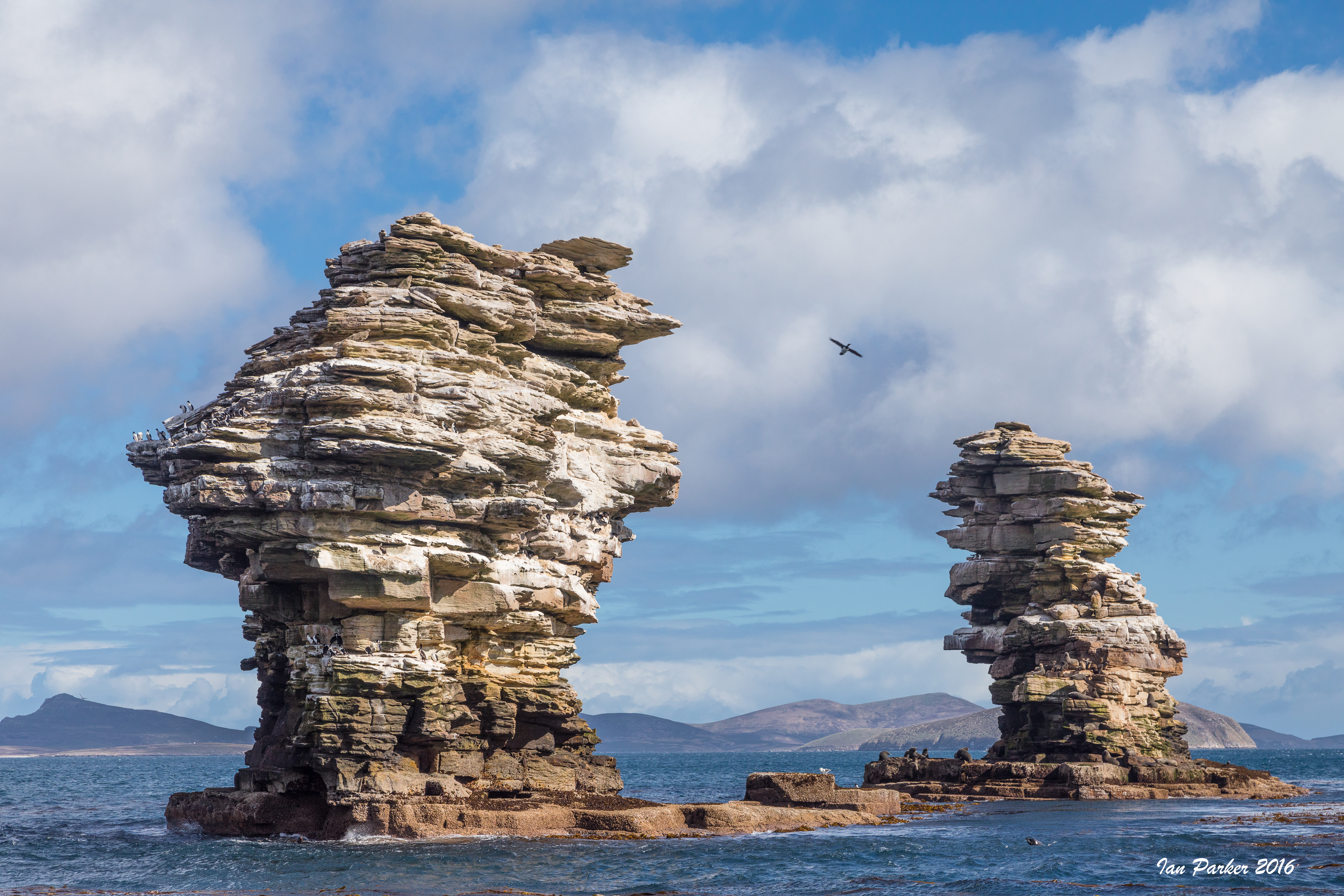
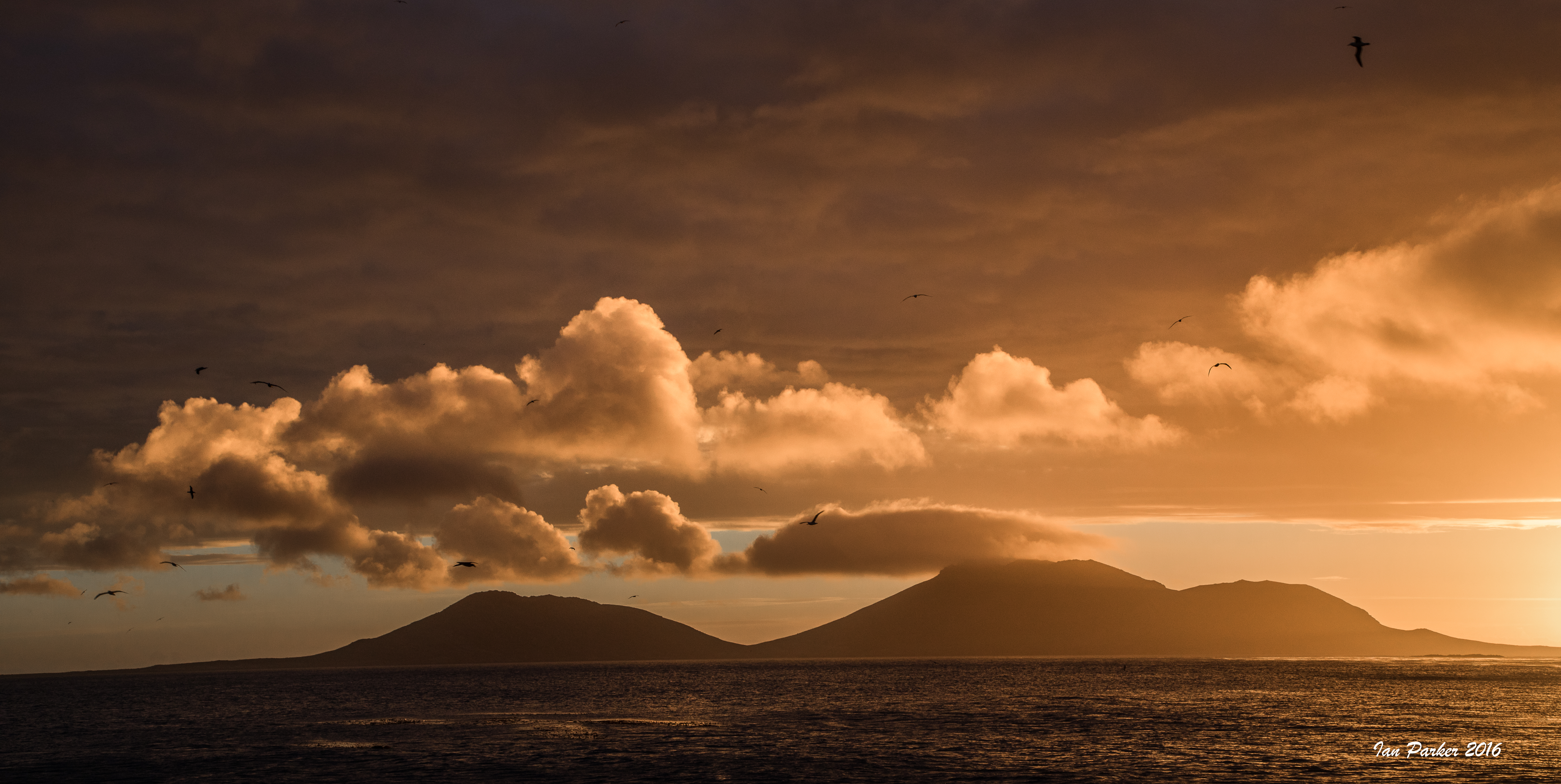
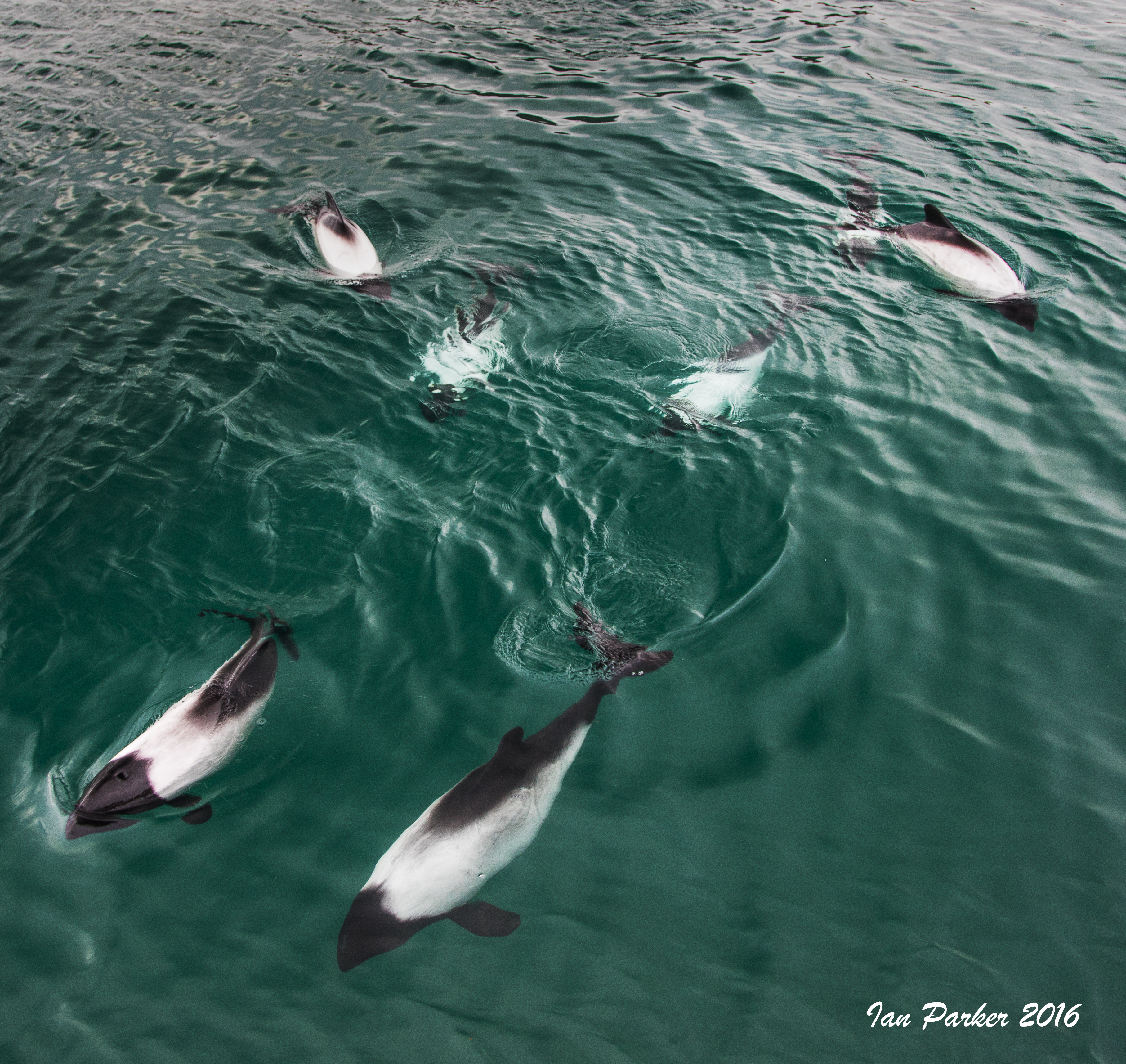
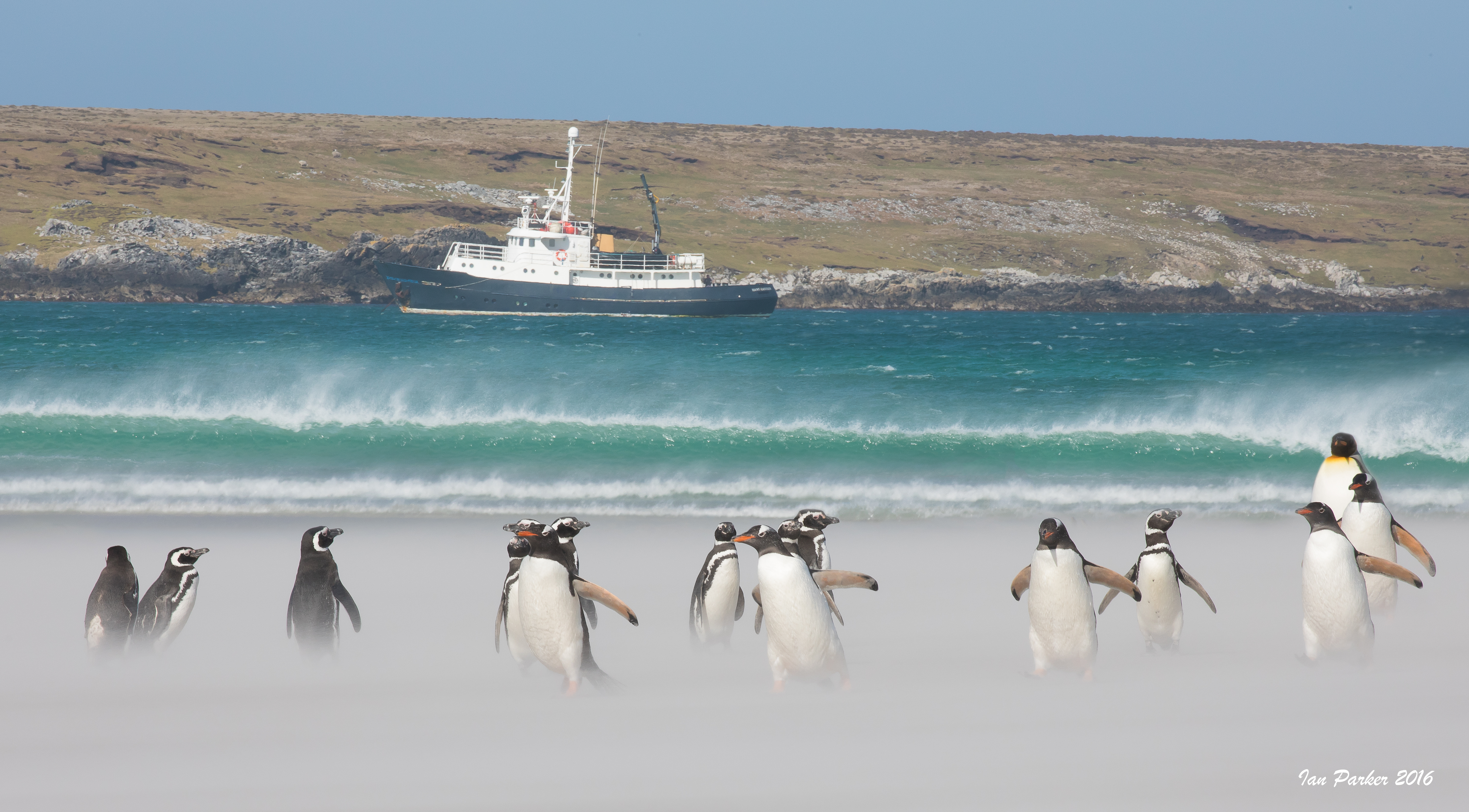
December 6-17: A Circumnavigation of the Falkland Islands aboard the Hans Hansson
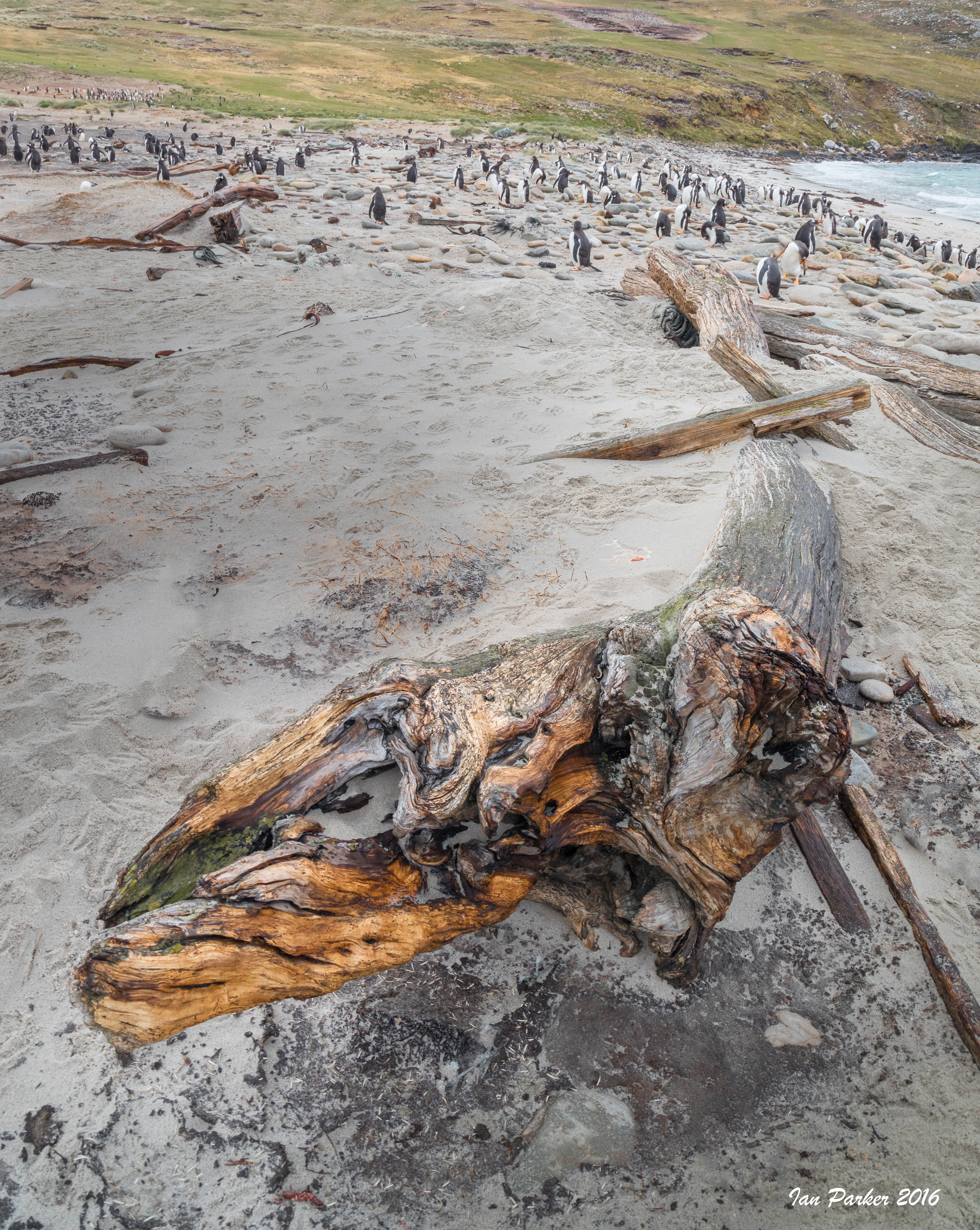
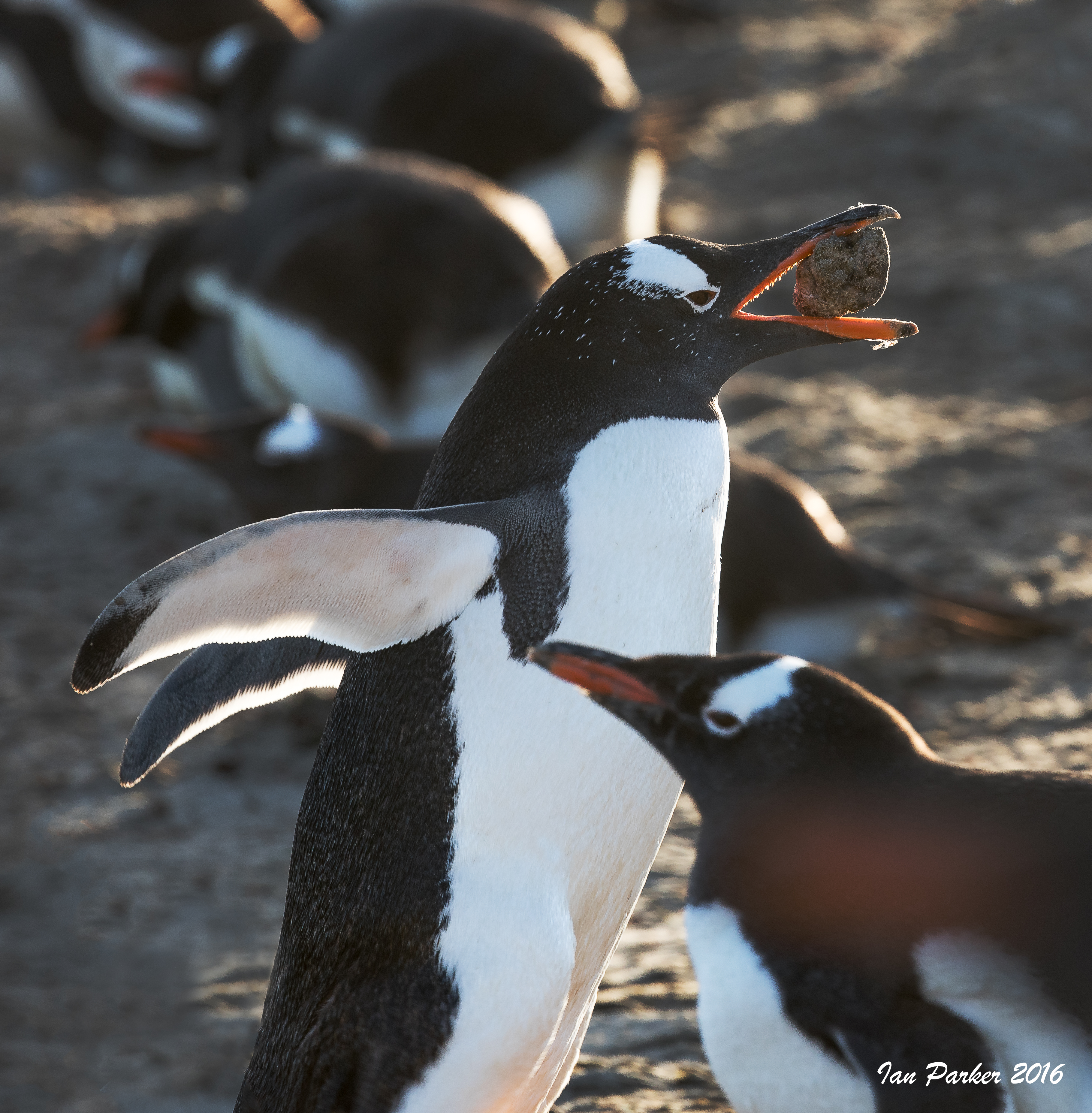
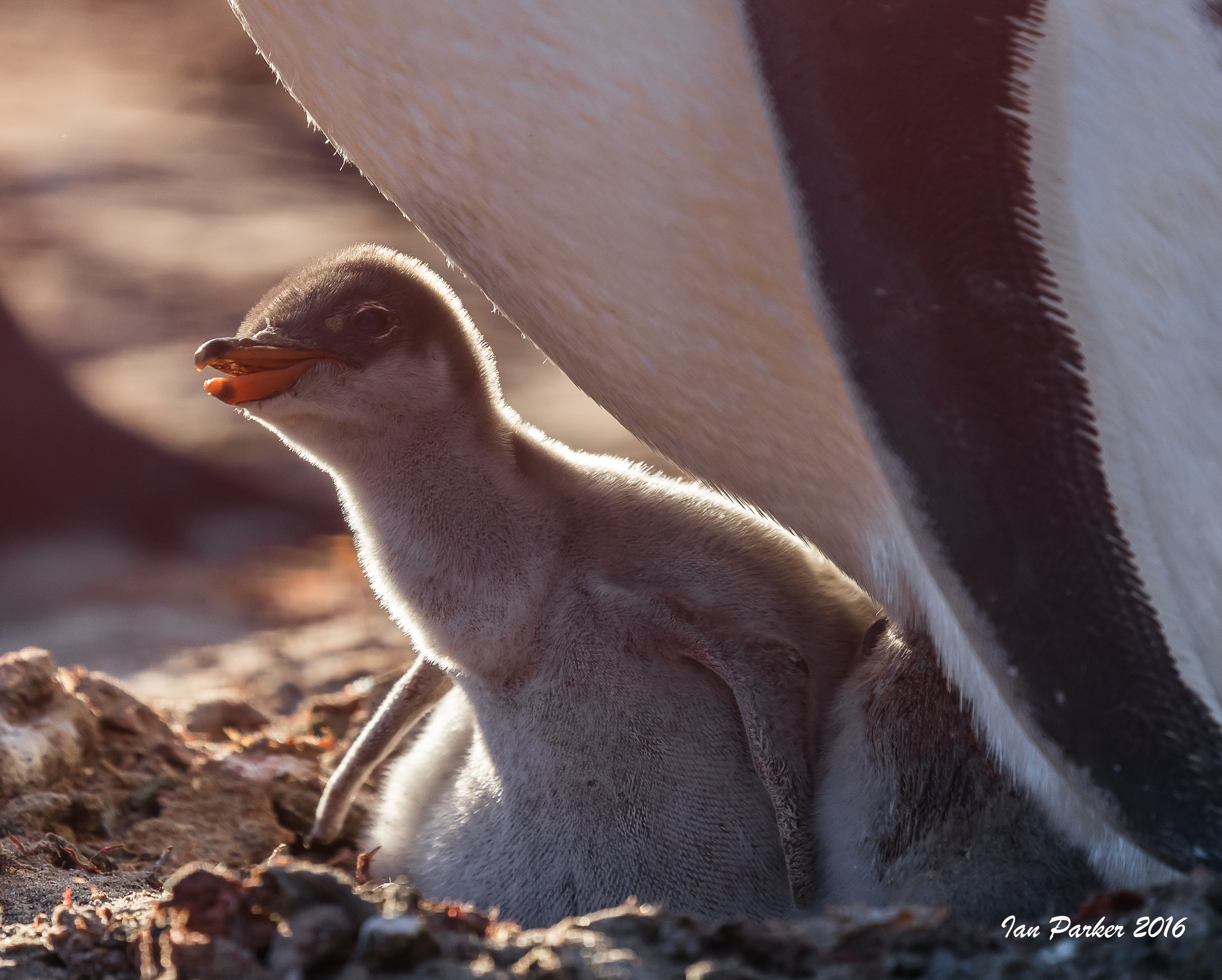
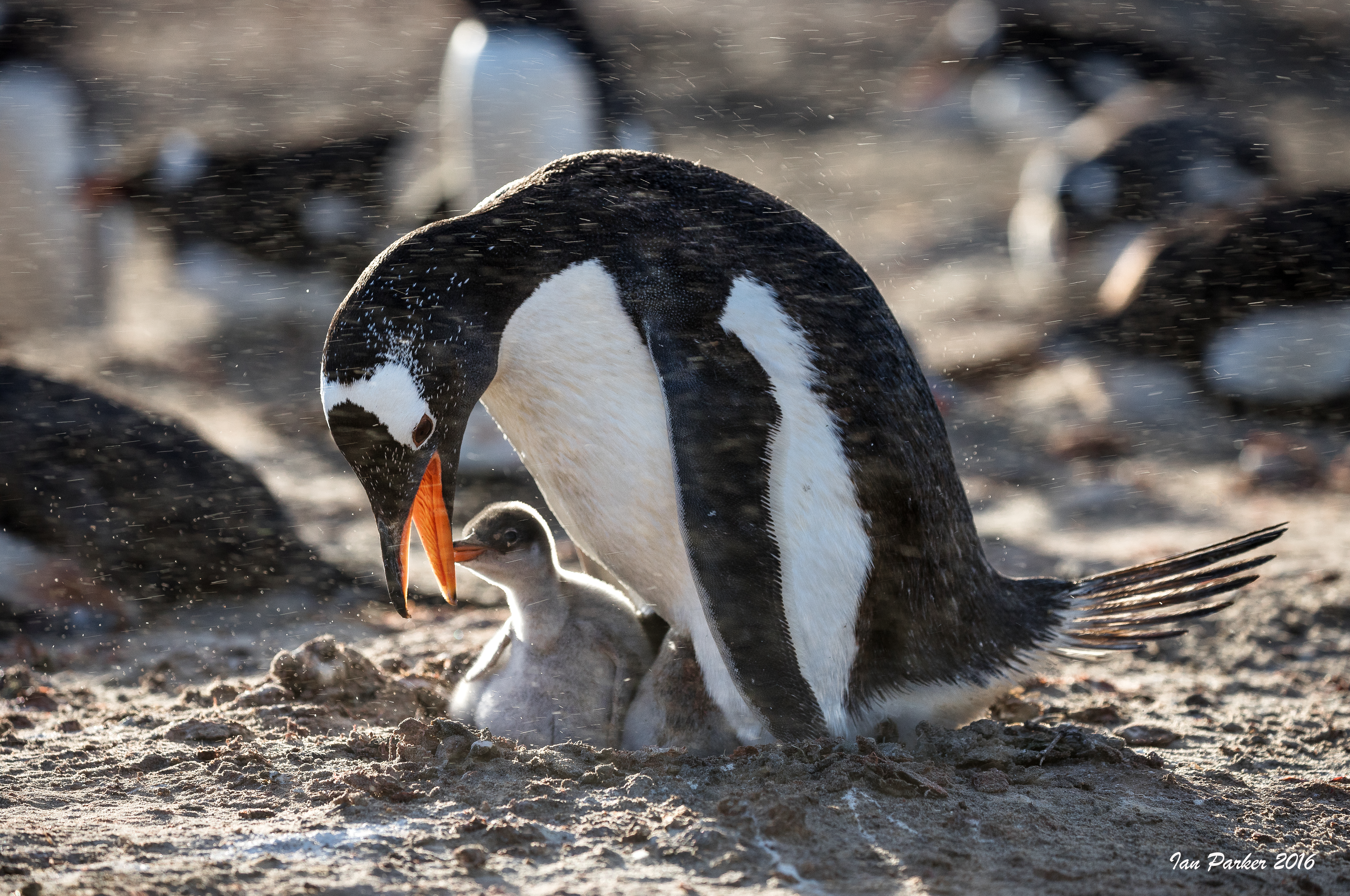
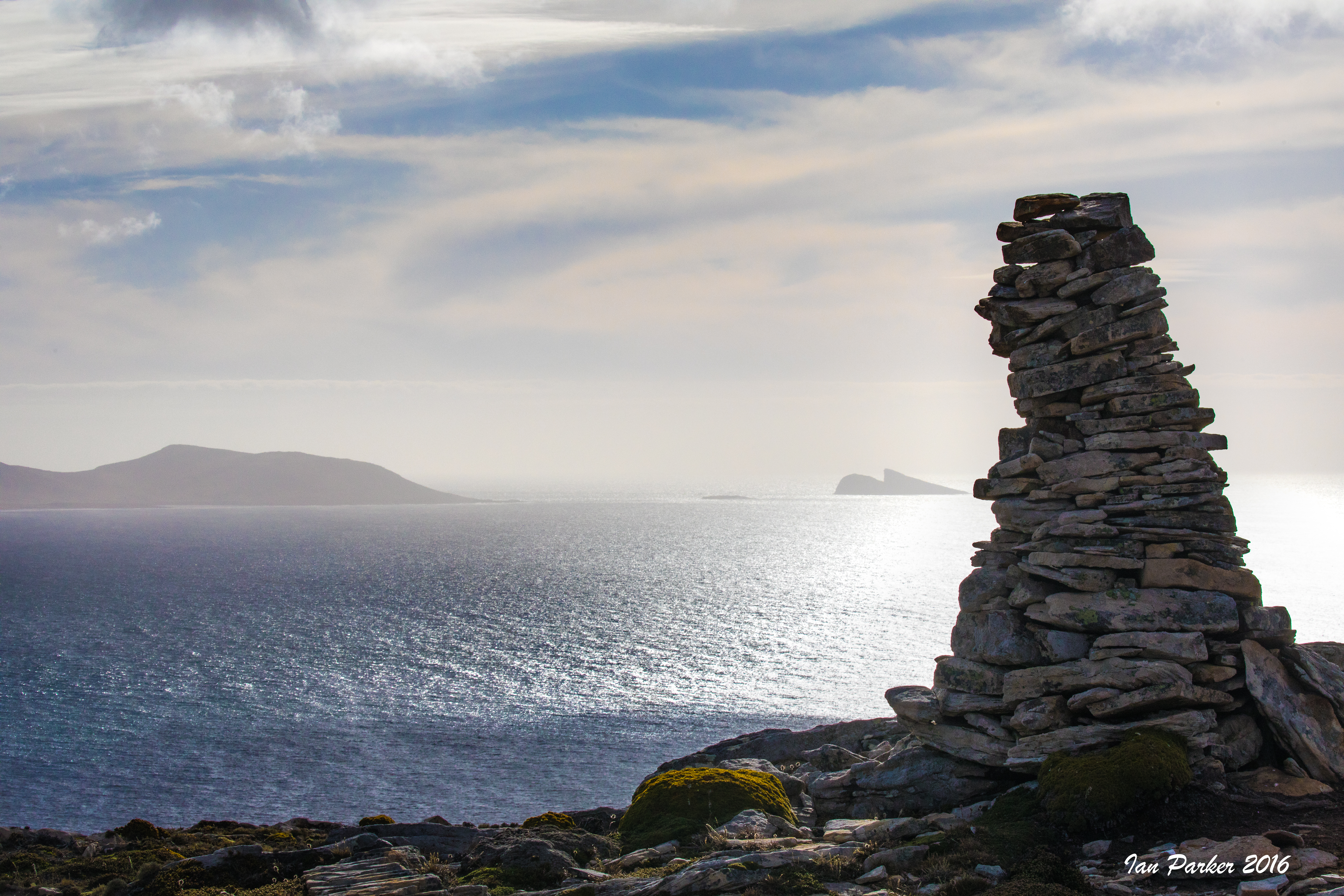
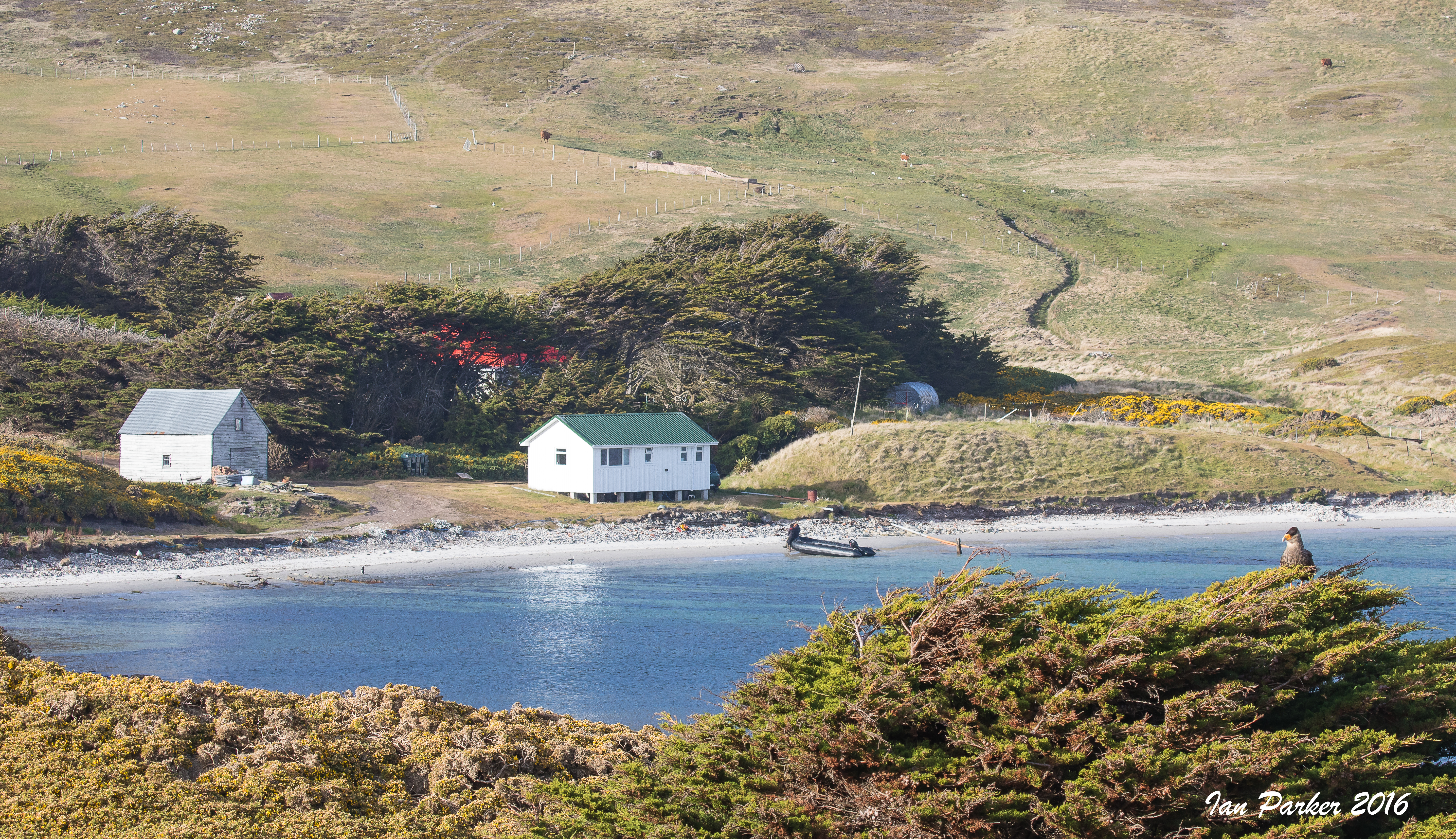
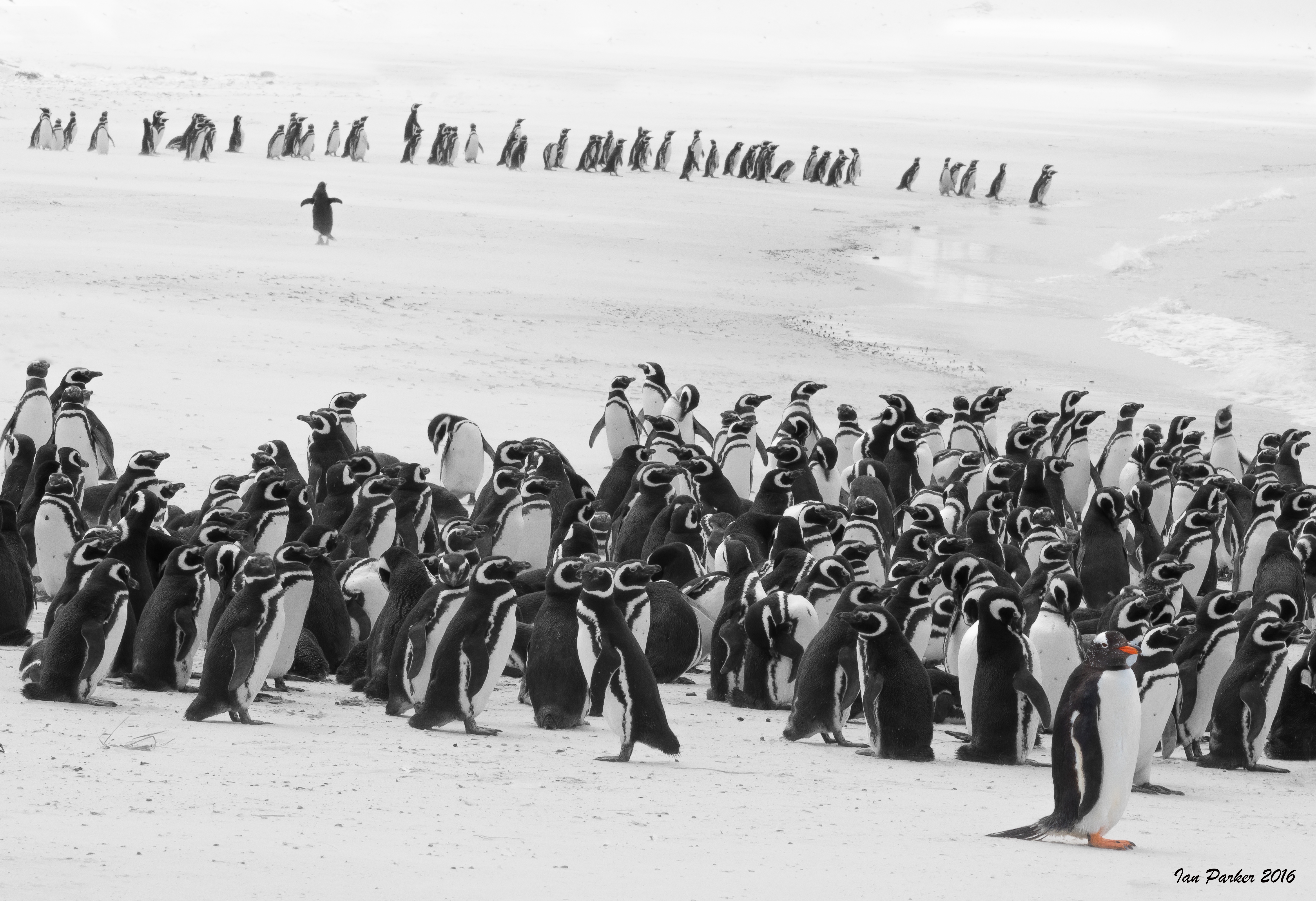
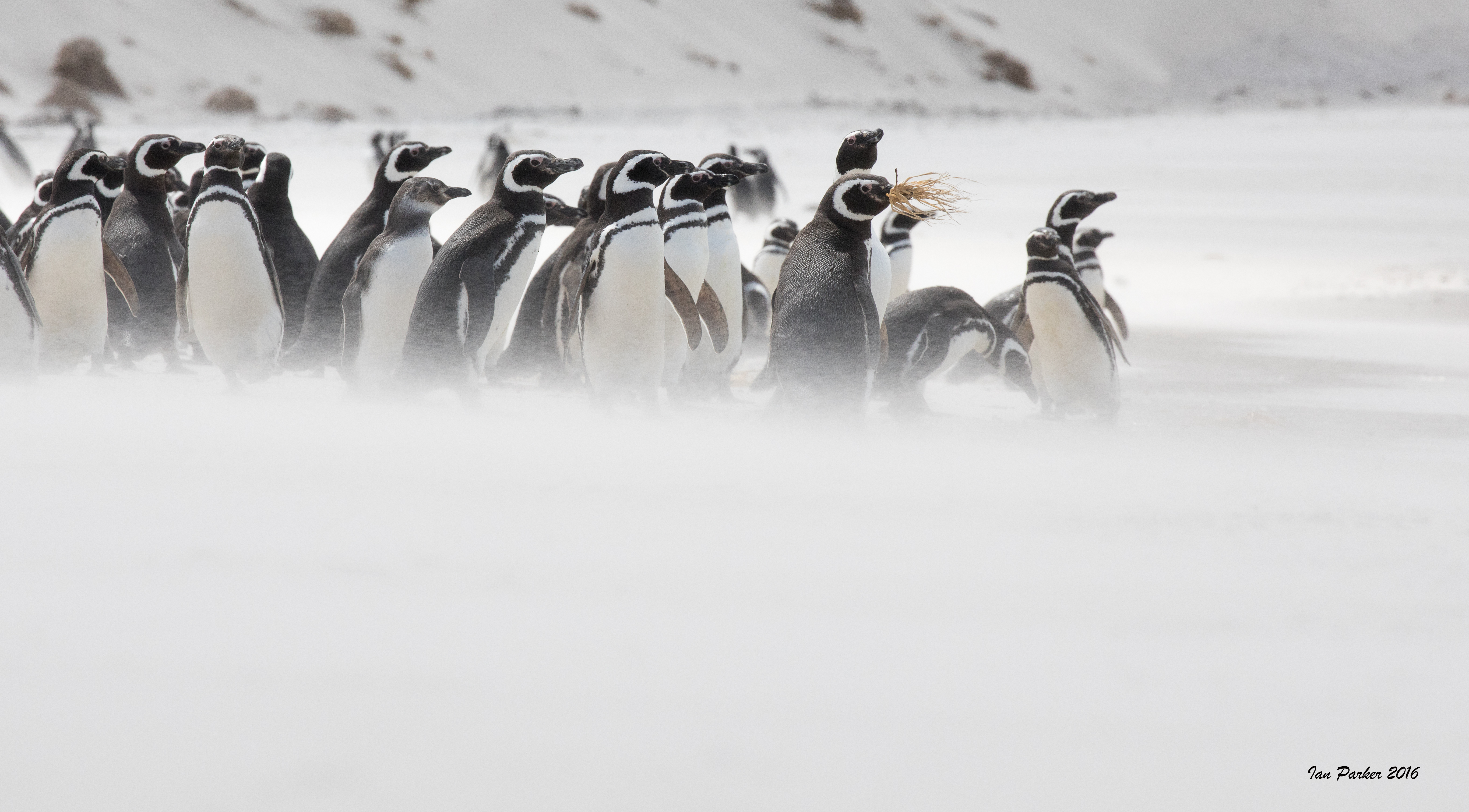
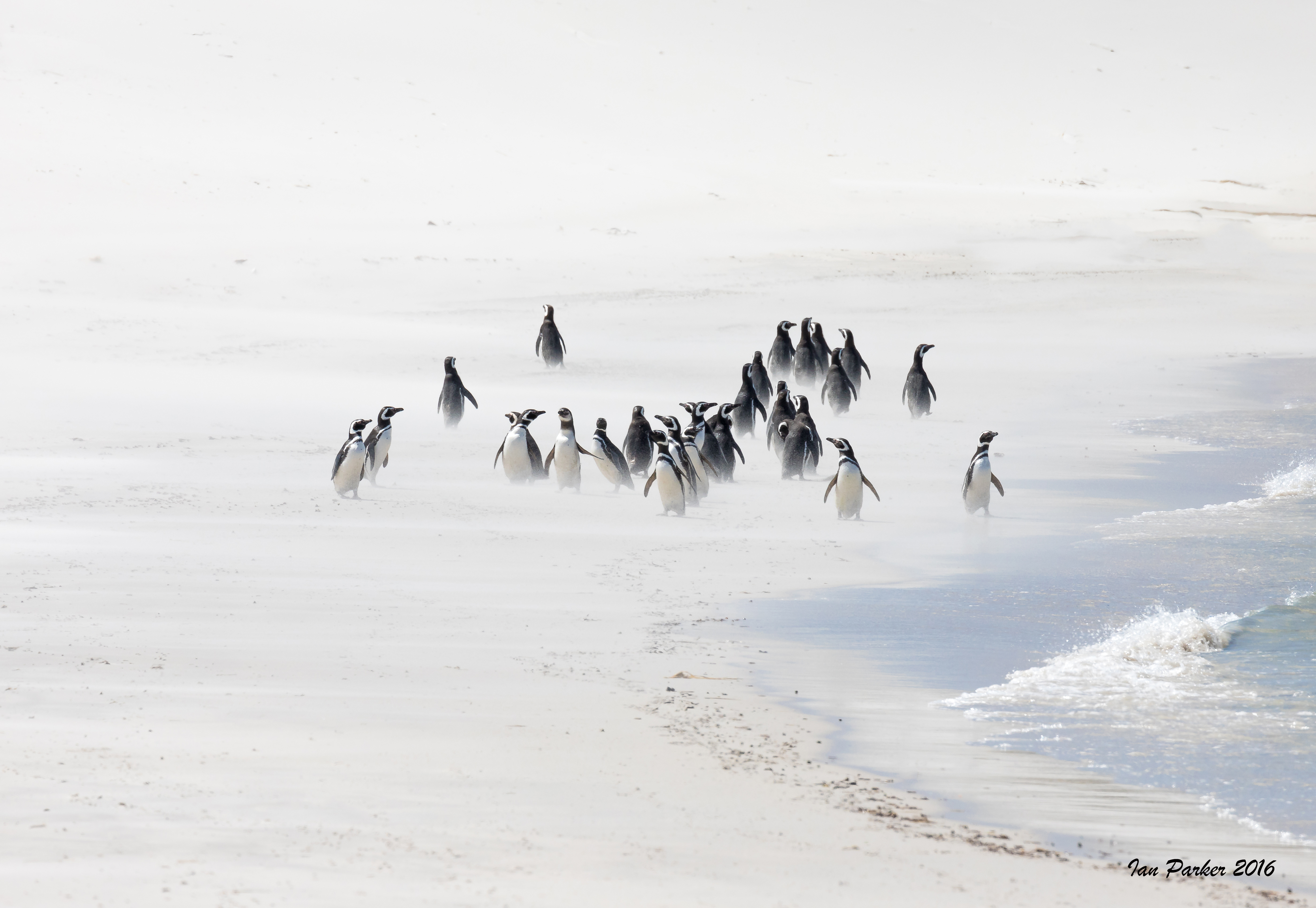
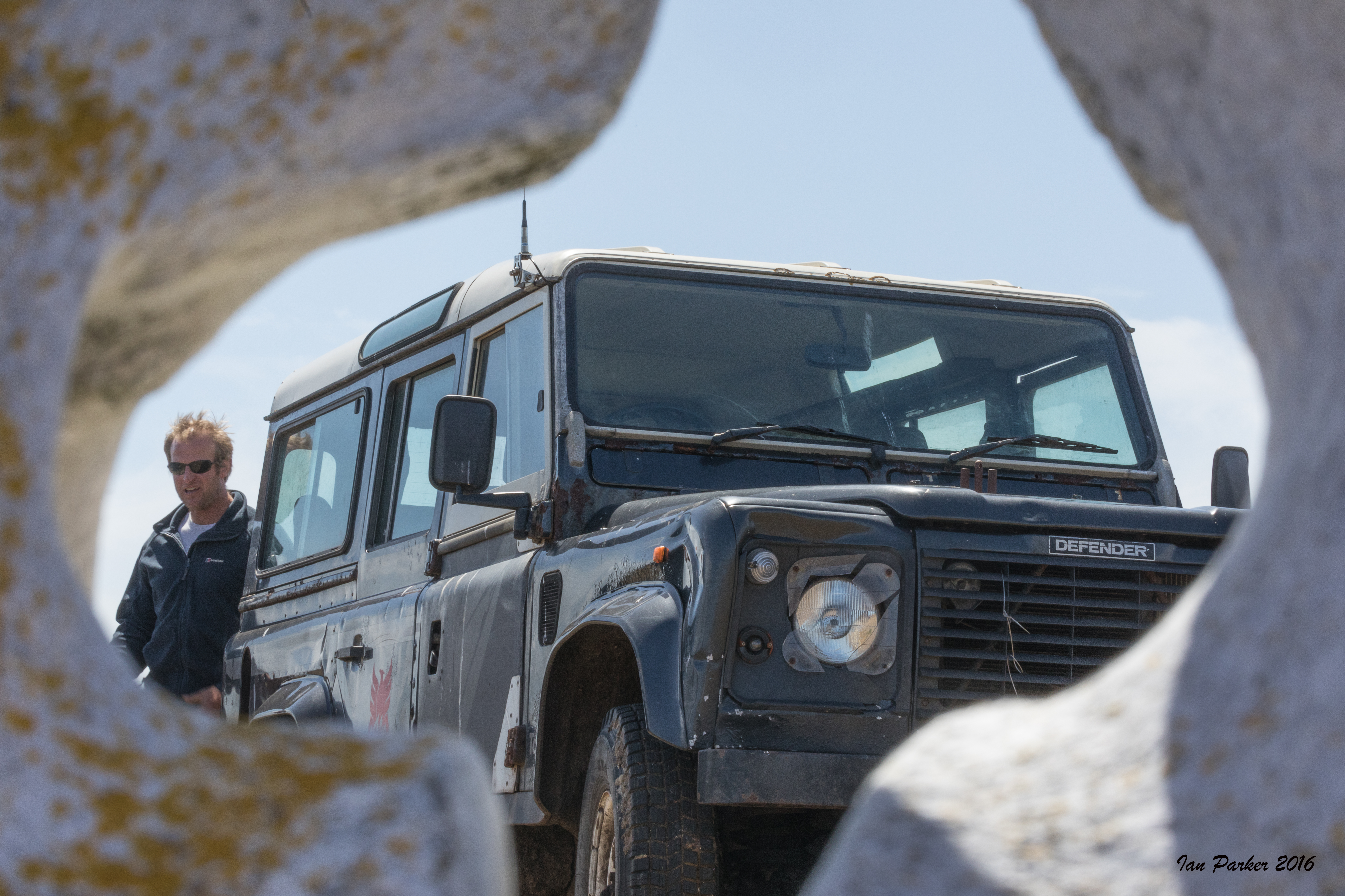
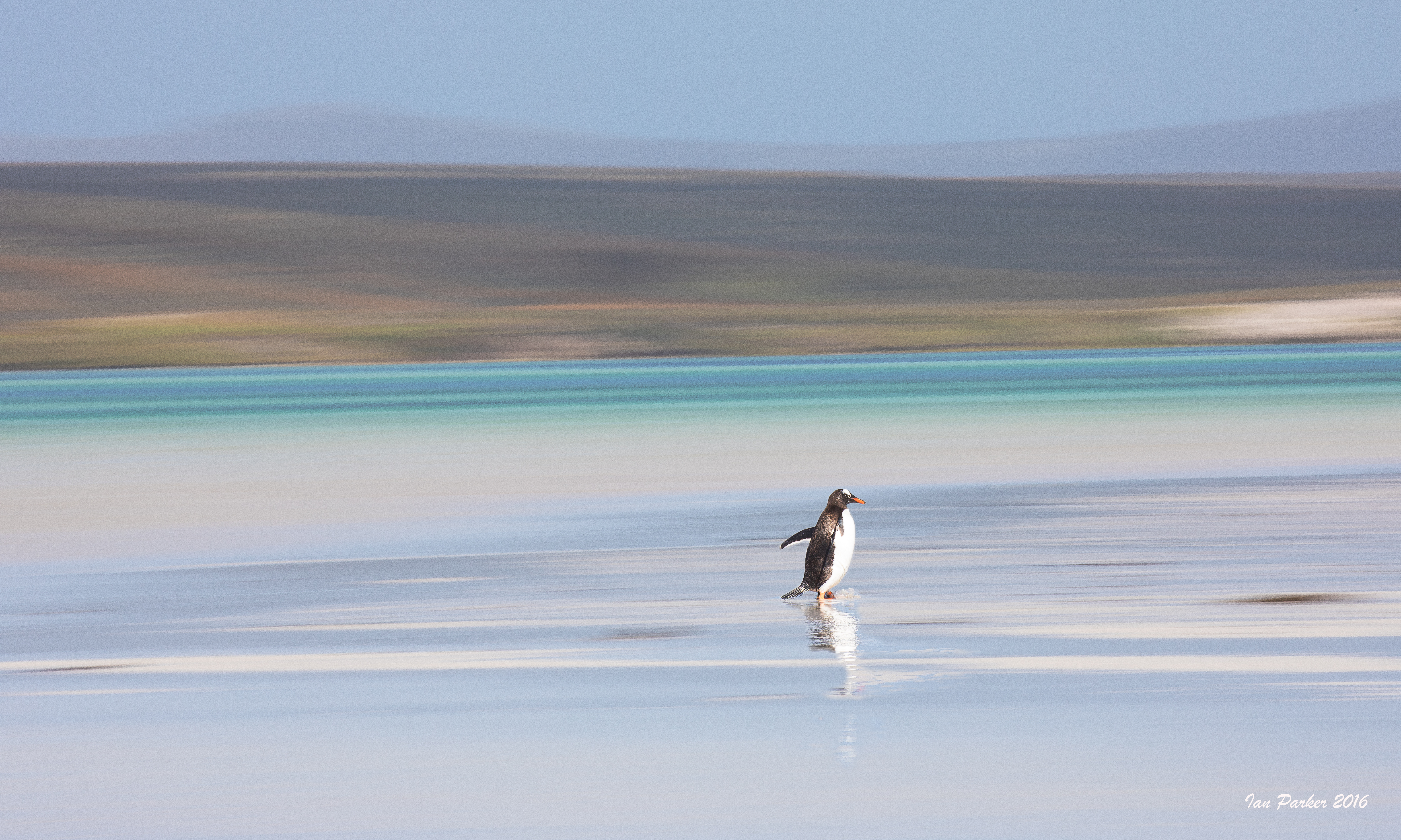
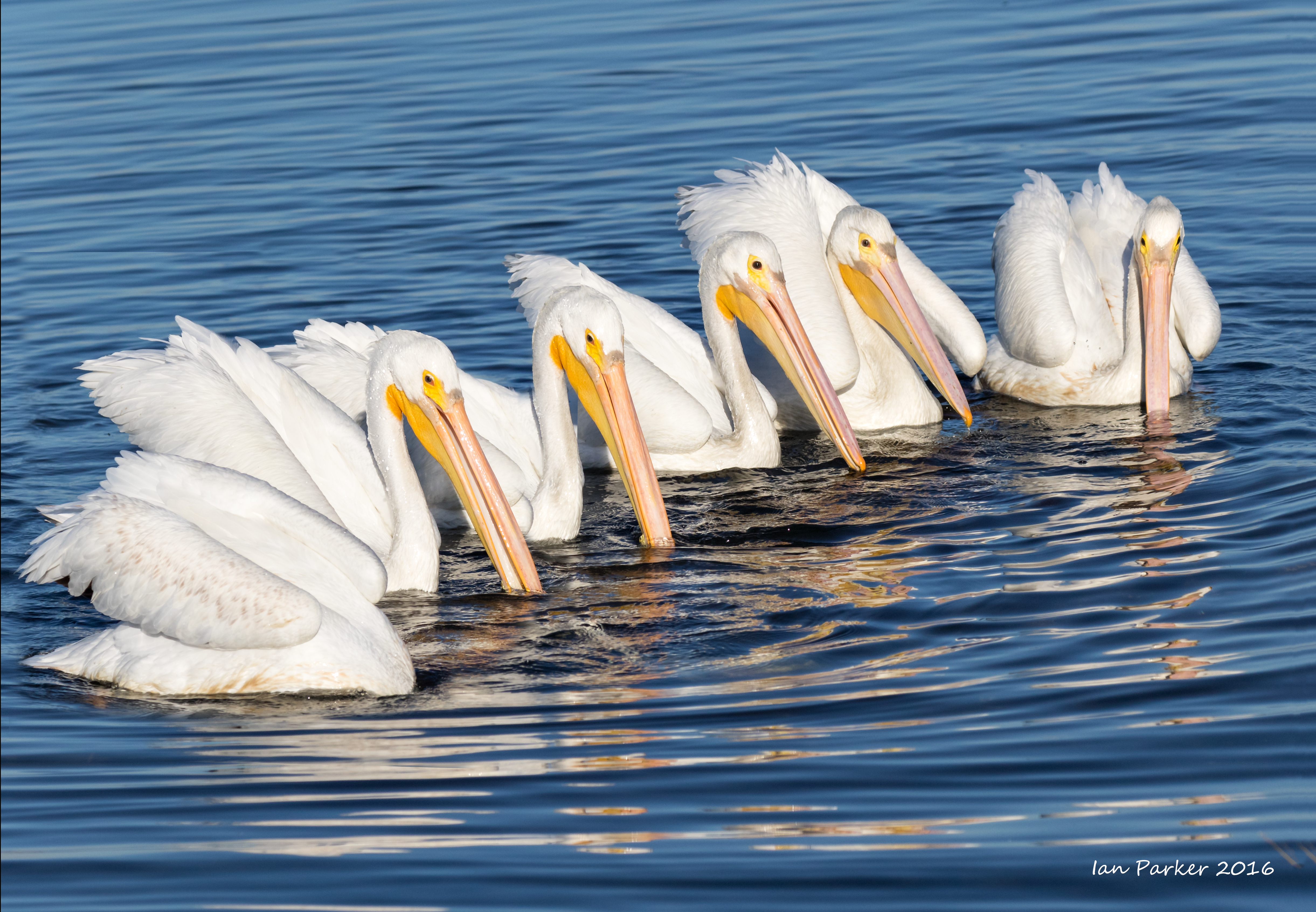
We spent two weeks aboard the Hans Hansson circumnavigating the Falklands, going ashore at Sea Lion, Bird, New, West Point, Carcass, Grand and Steeple Jasons, Saunders and Pebble Islands as well as Grave Cove and Volunteer Point onEast and West Falkland. The Hans Hansson was superbly crewed by Dion Poncet, Juliette Hennequin and Toby. [Click here for video of life abord the Hans Hansson] The trip was organized by Morten Jorgenson and Nozomi Takeyabu of NozoMojo Tours and Arts for Nature Conservation.
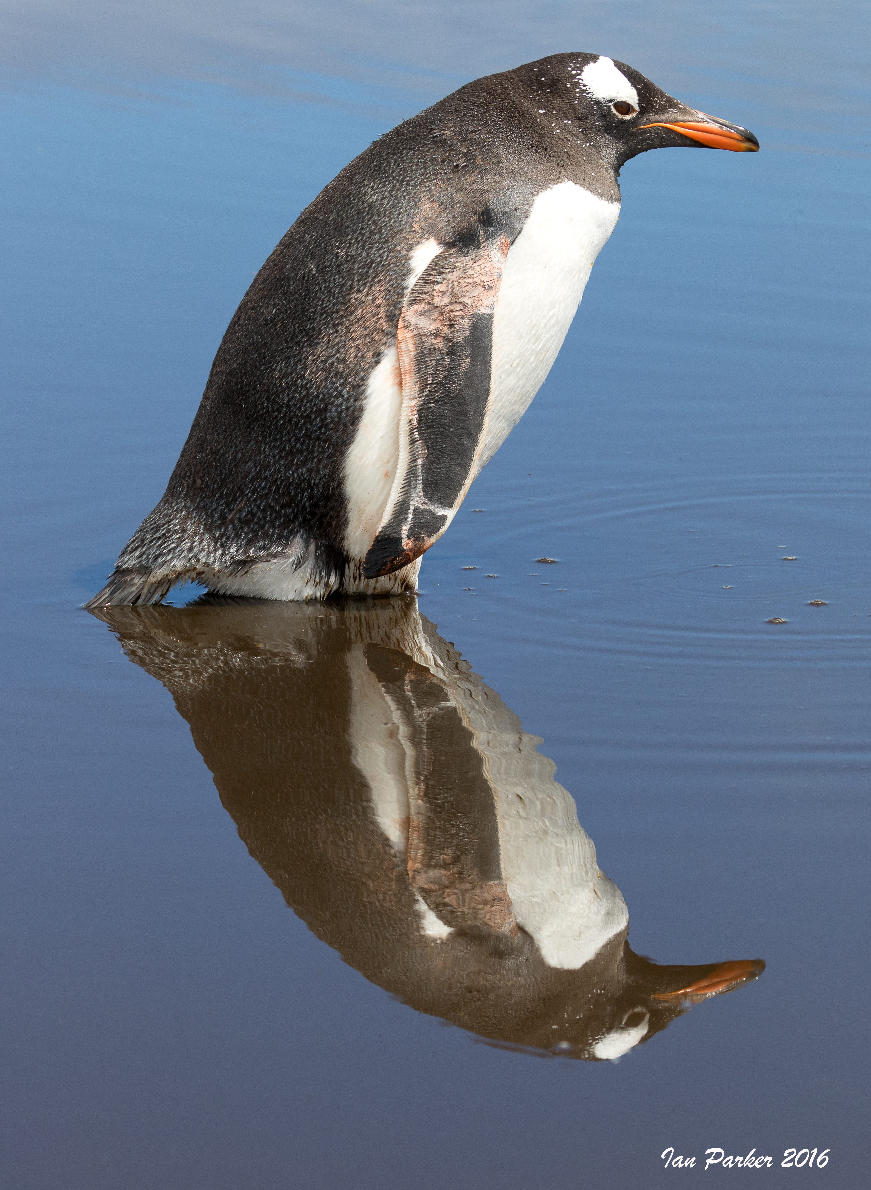
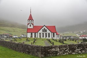
 High resolution file - Click to download then zoom in for detail.
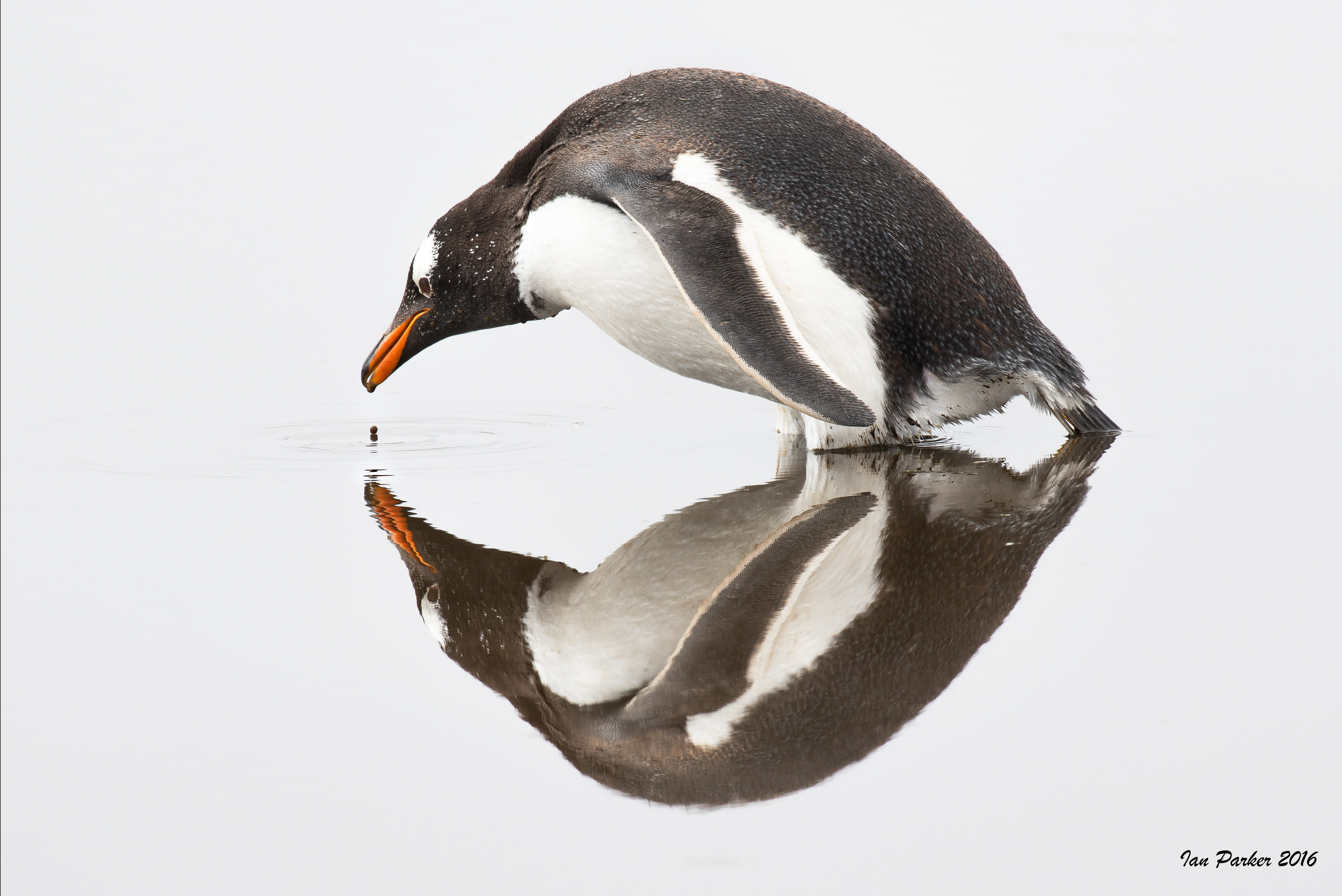
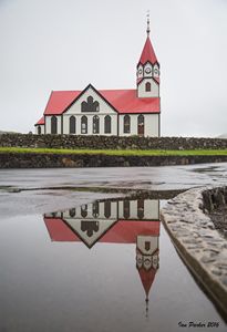
 |
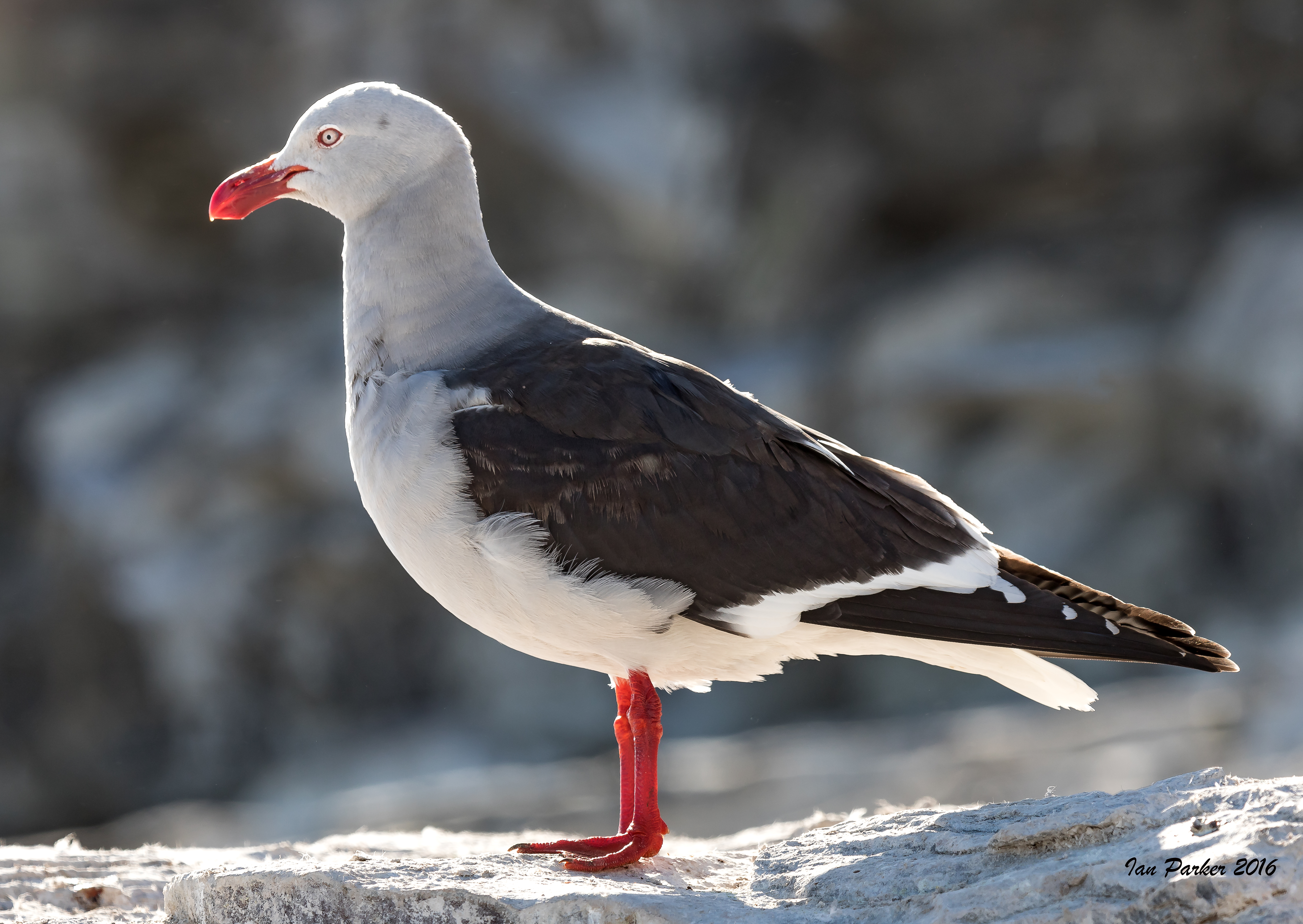
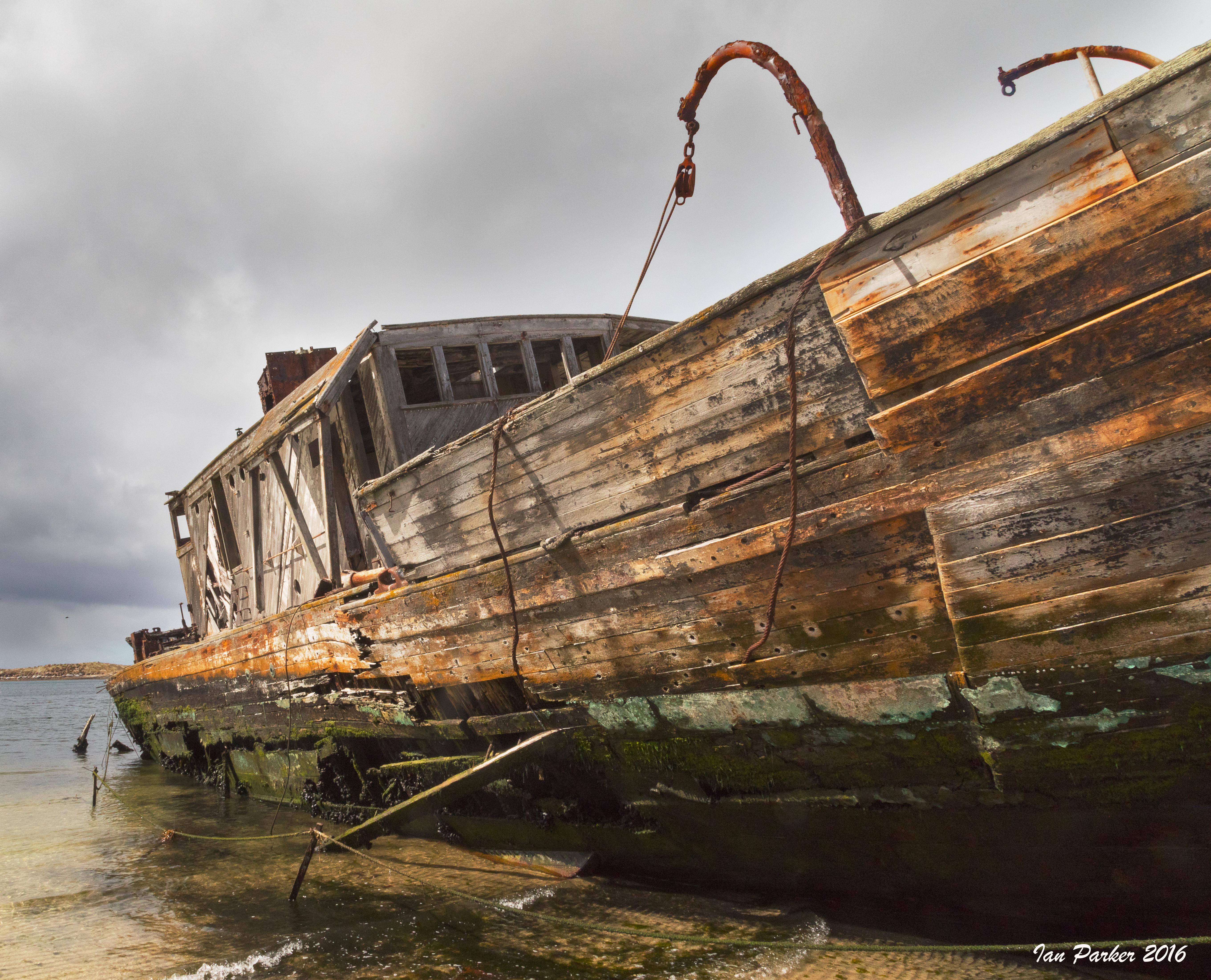
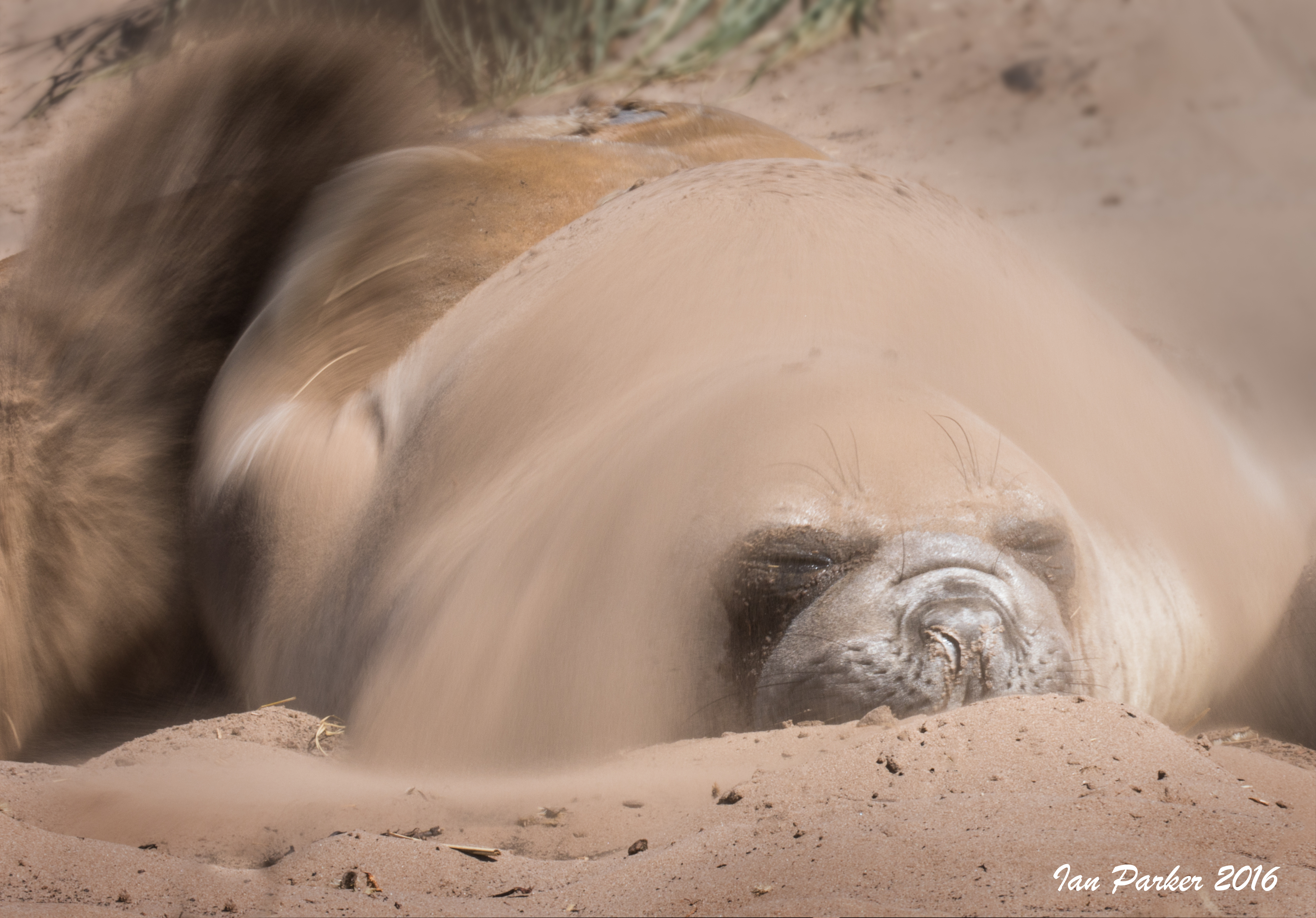
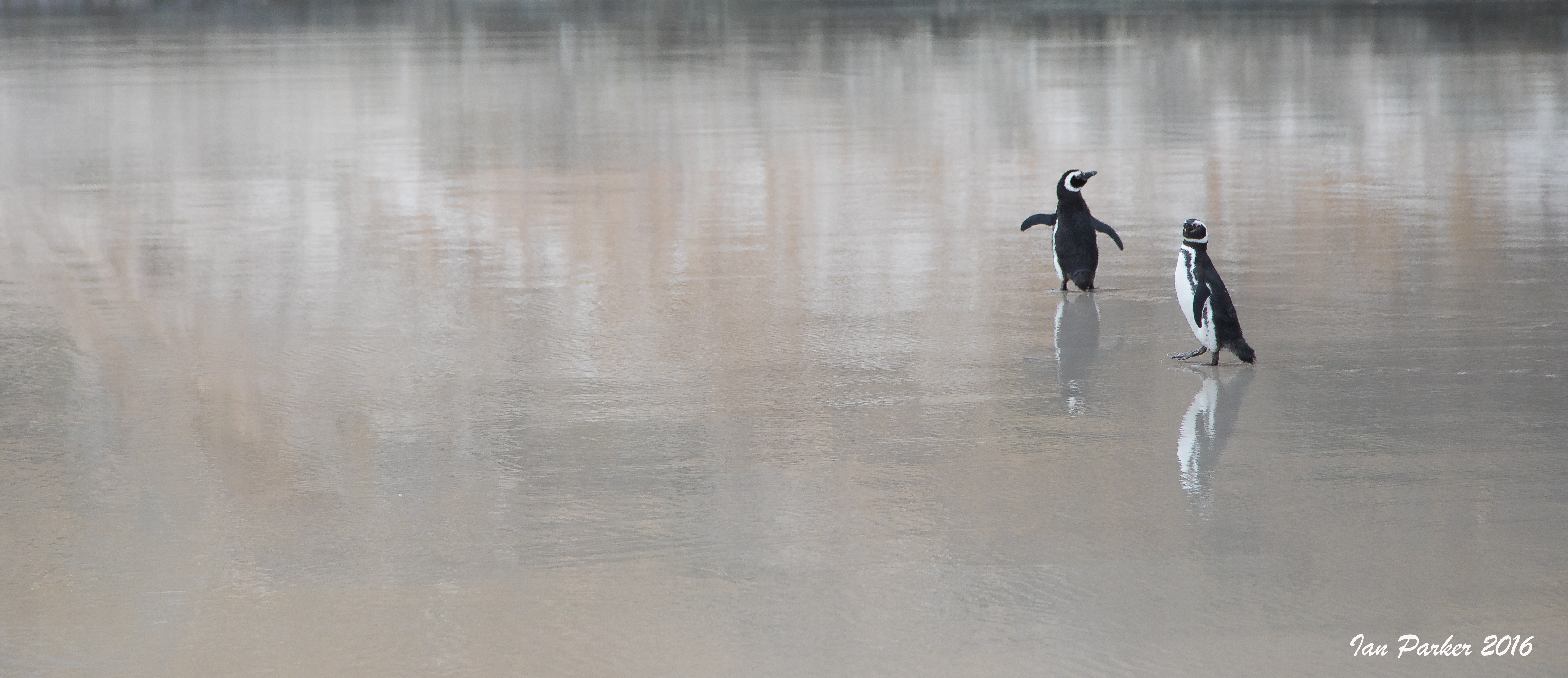
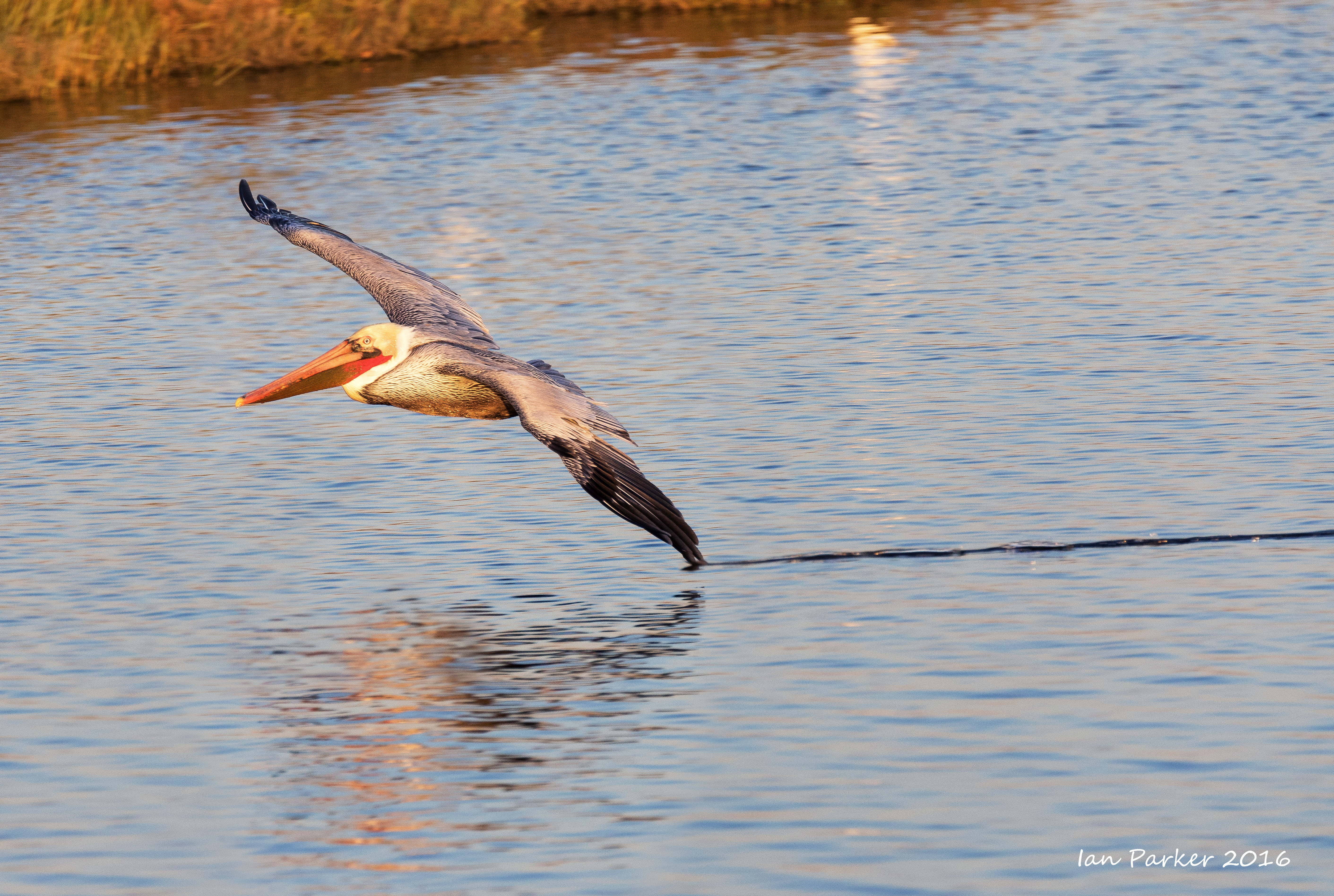
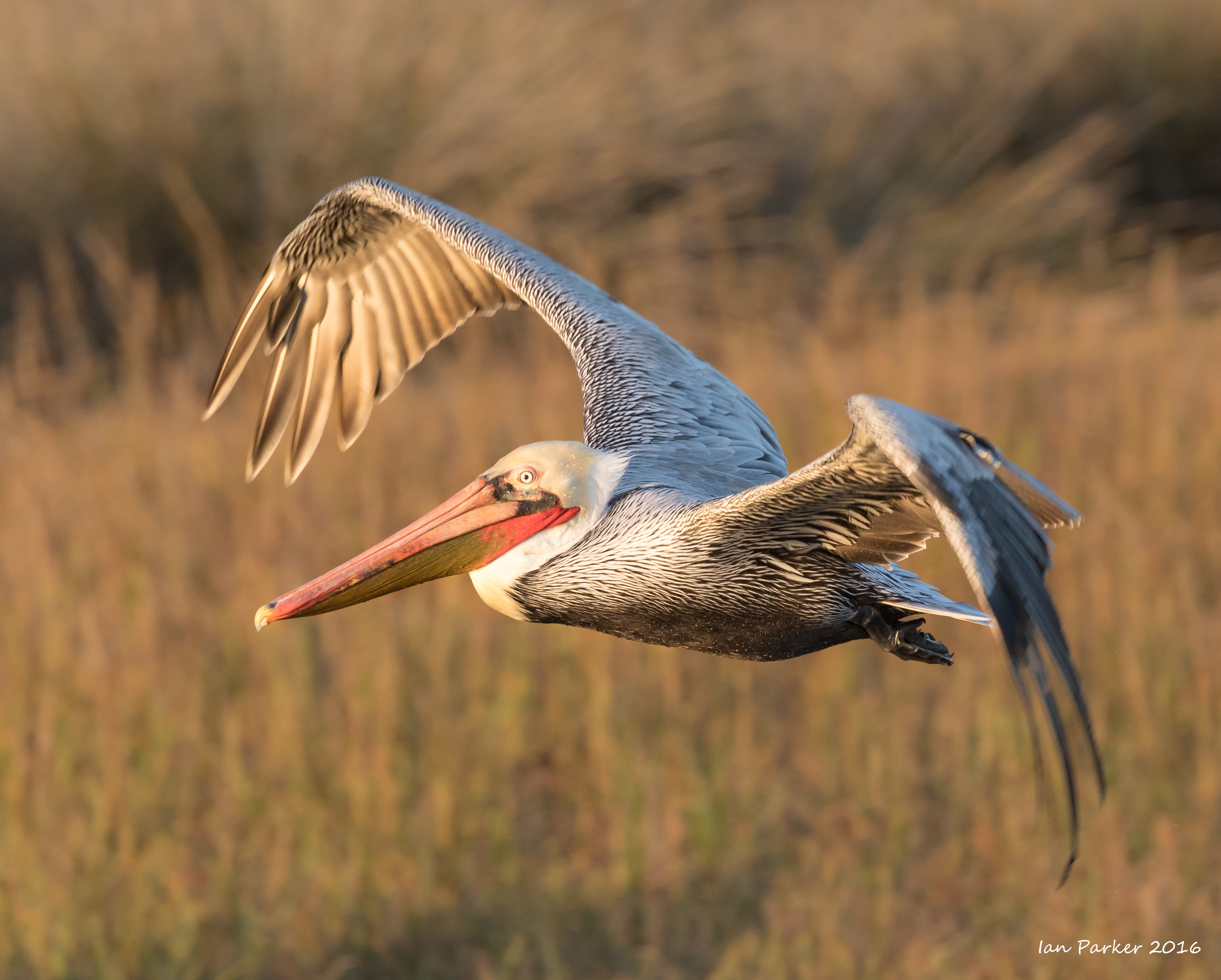
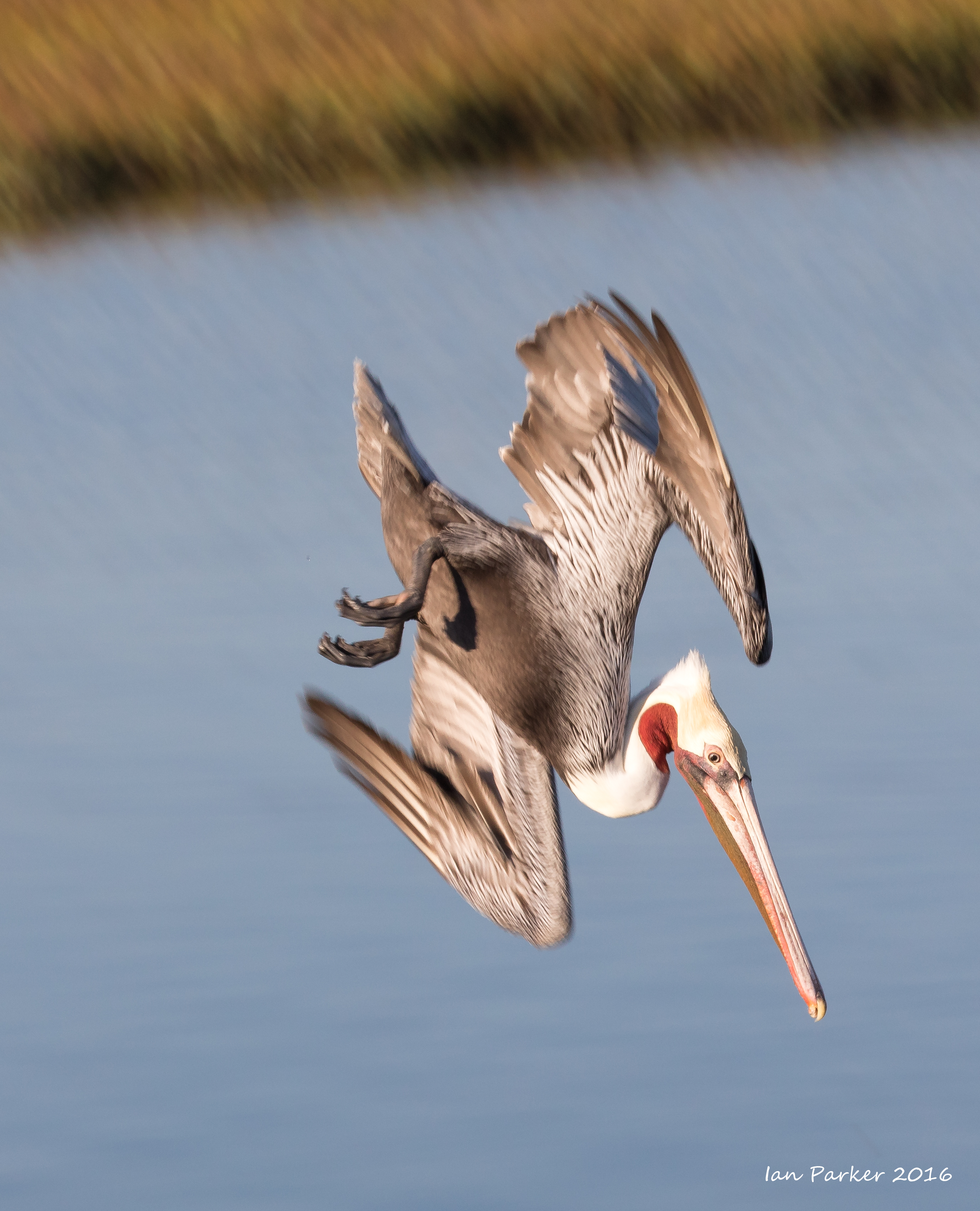
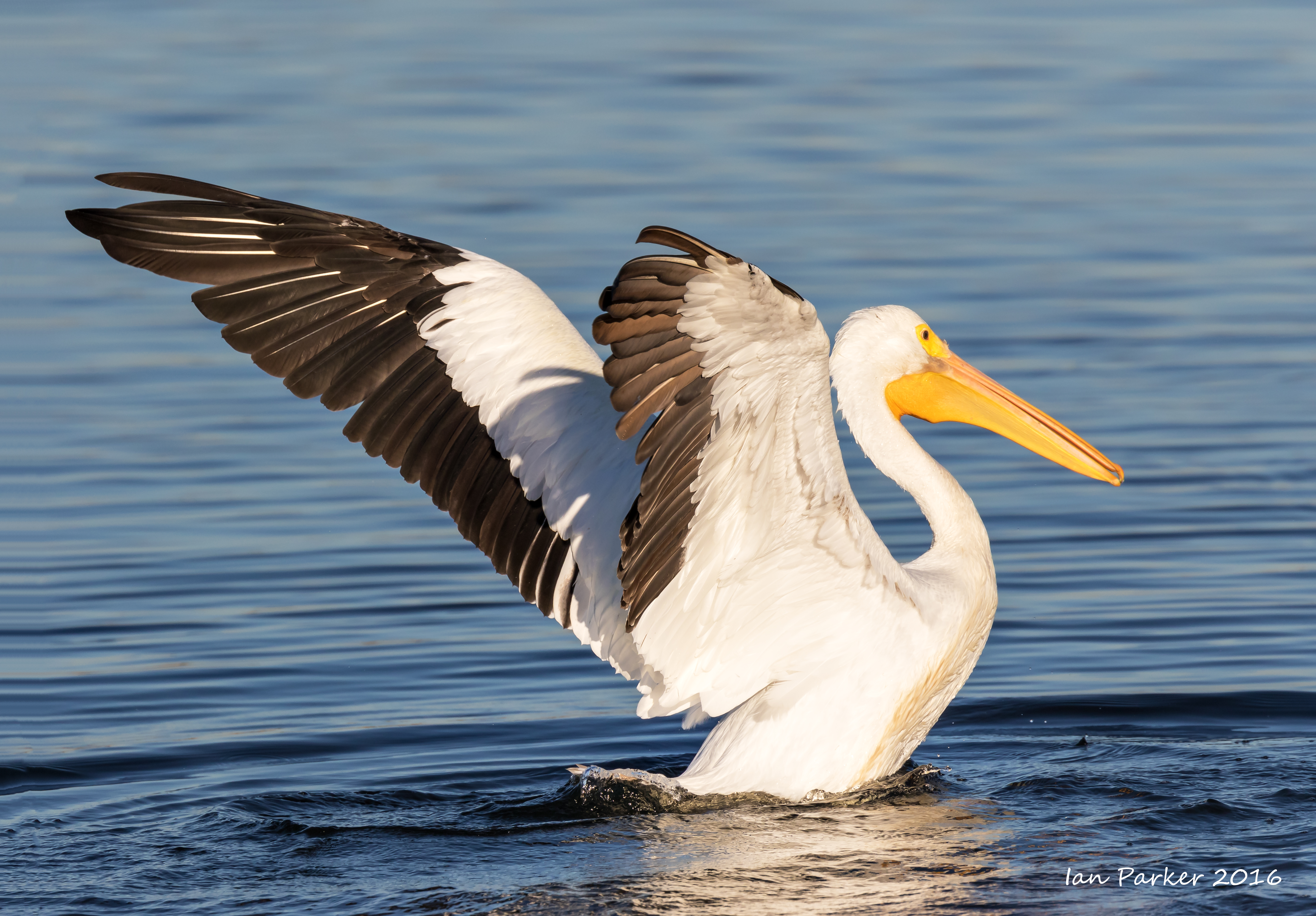
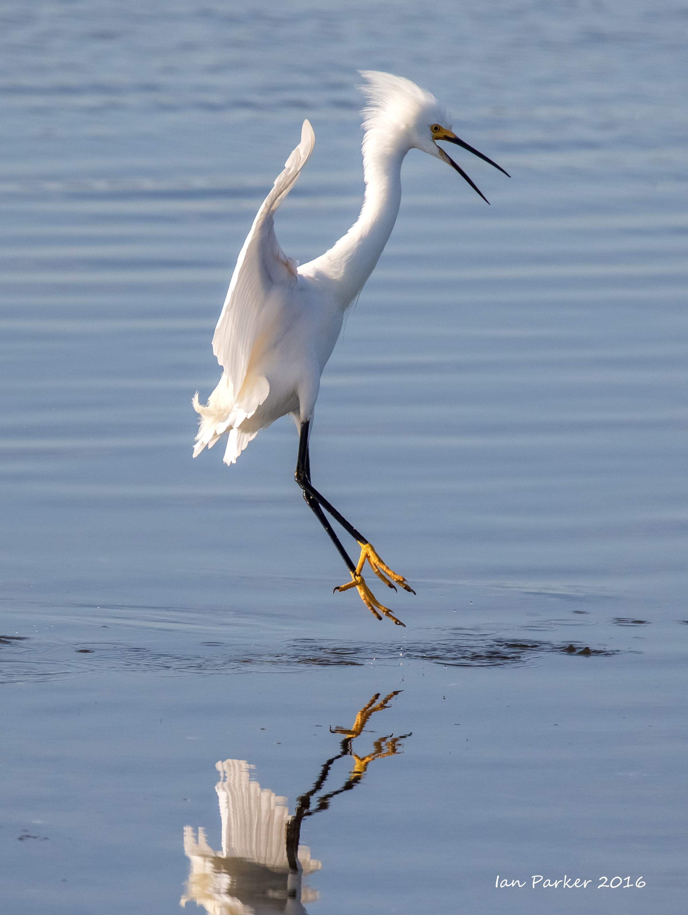
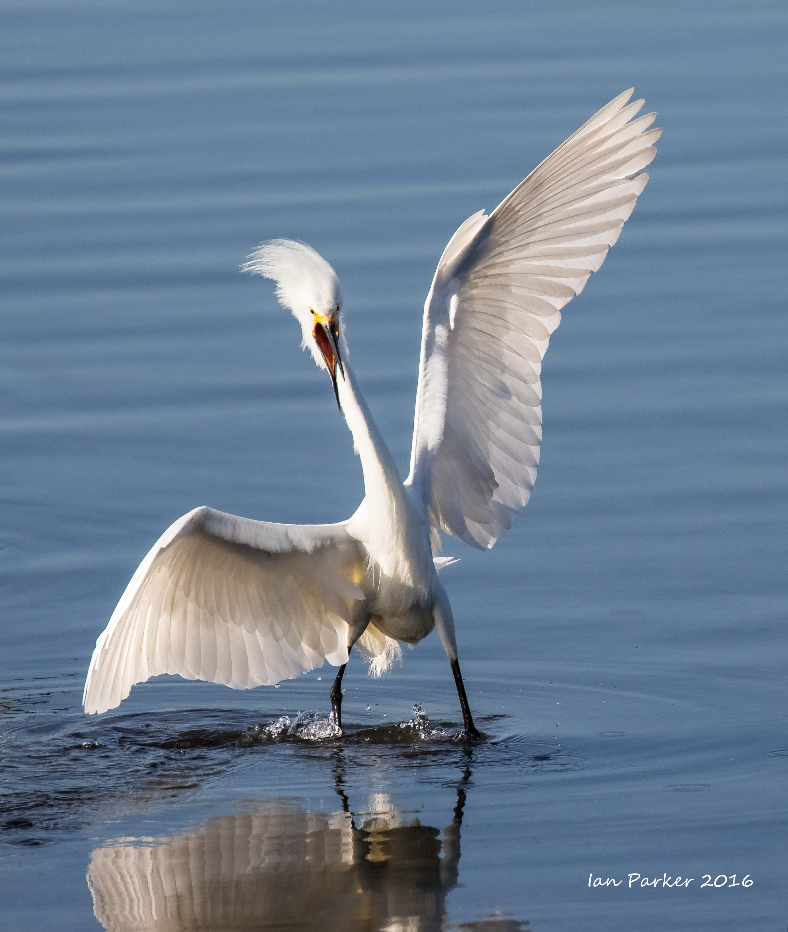
December 4-5: Stanley and Sea Lion Island
Our flight from Pinta Arenas to Mount Pleasant on December 3rd was cancelled owing to high winds, so LATAM took us on a round trip between Punta and Santiago, occupying most of the day and taking us back to the airport Holiday Inn from where we had started early that morning. The winds had died the next day, so the rescheduled (once-a-week) flight to the Falklands was uneventful, and we transferred to Stanley to join the Hans Hansson. After dinner onboard (reacquaining ourselves with Juliet's cooking) and too much wine, we departed for an overnight open ocean crossing to Sea Lion Island. I had a miserable sea-sick night, even though the sea conditions were not as rough as on our previous voyage to South Georgia on the Hans Hansson, when I had no problems.
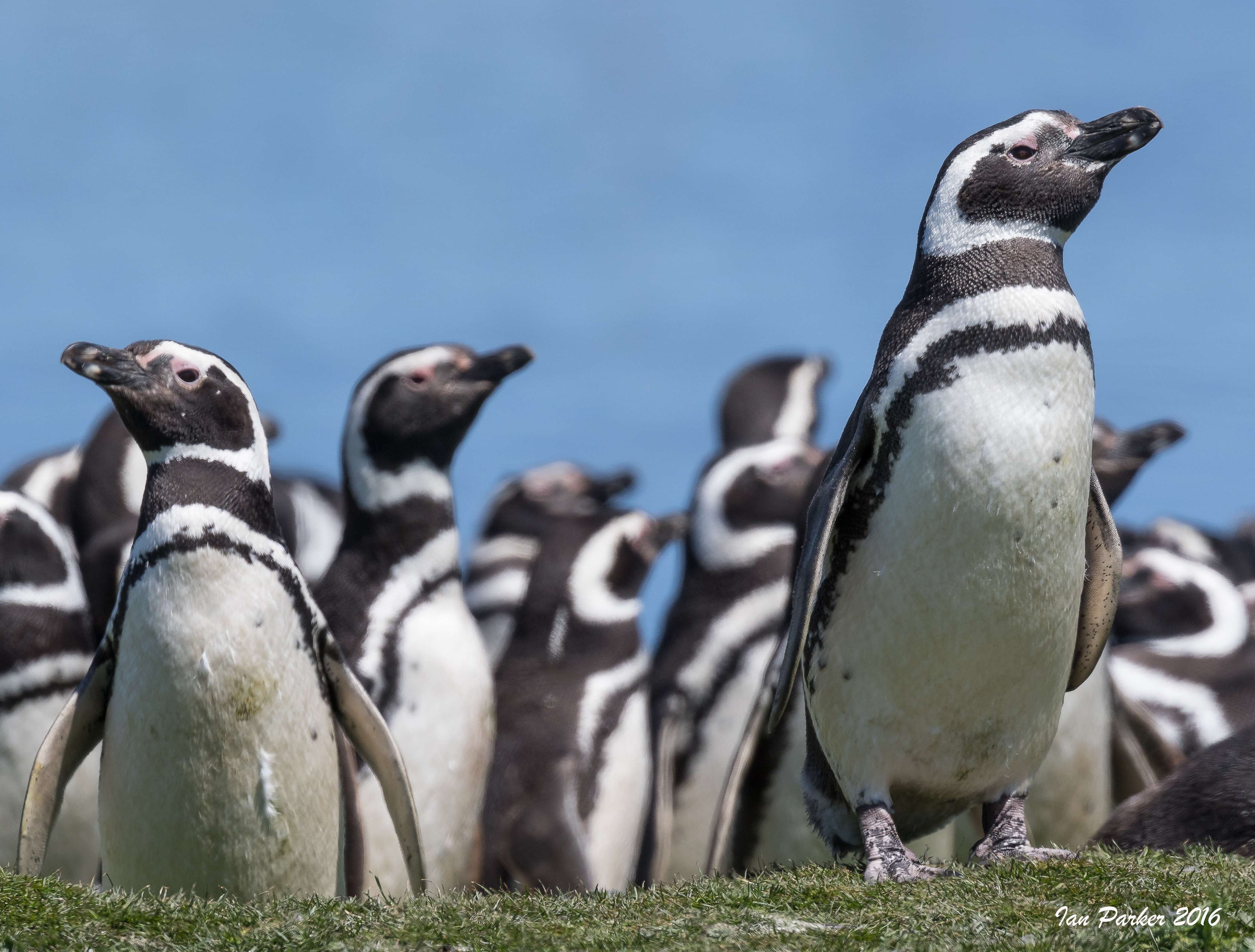
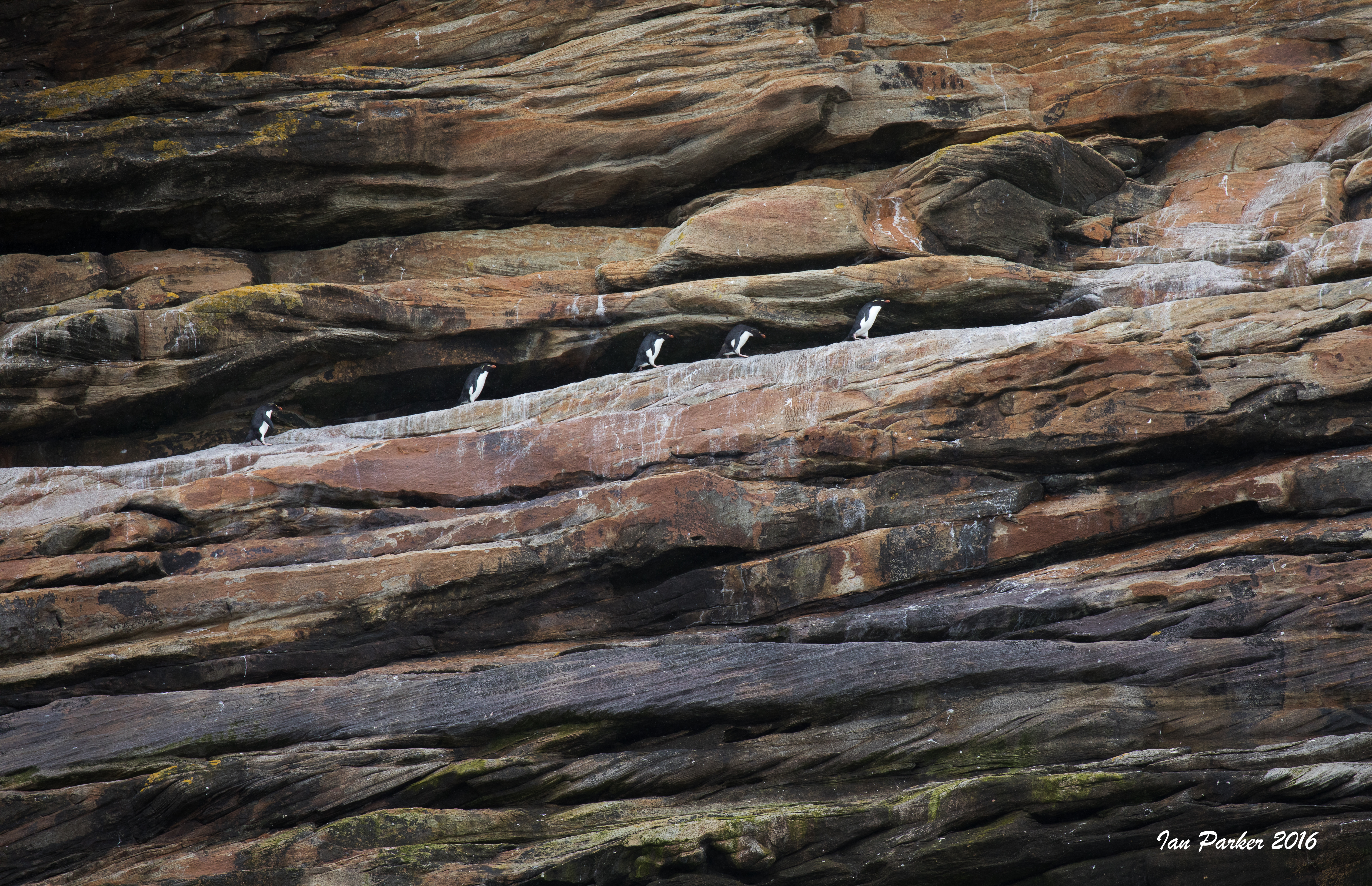
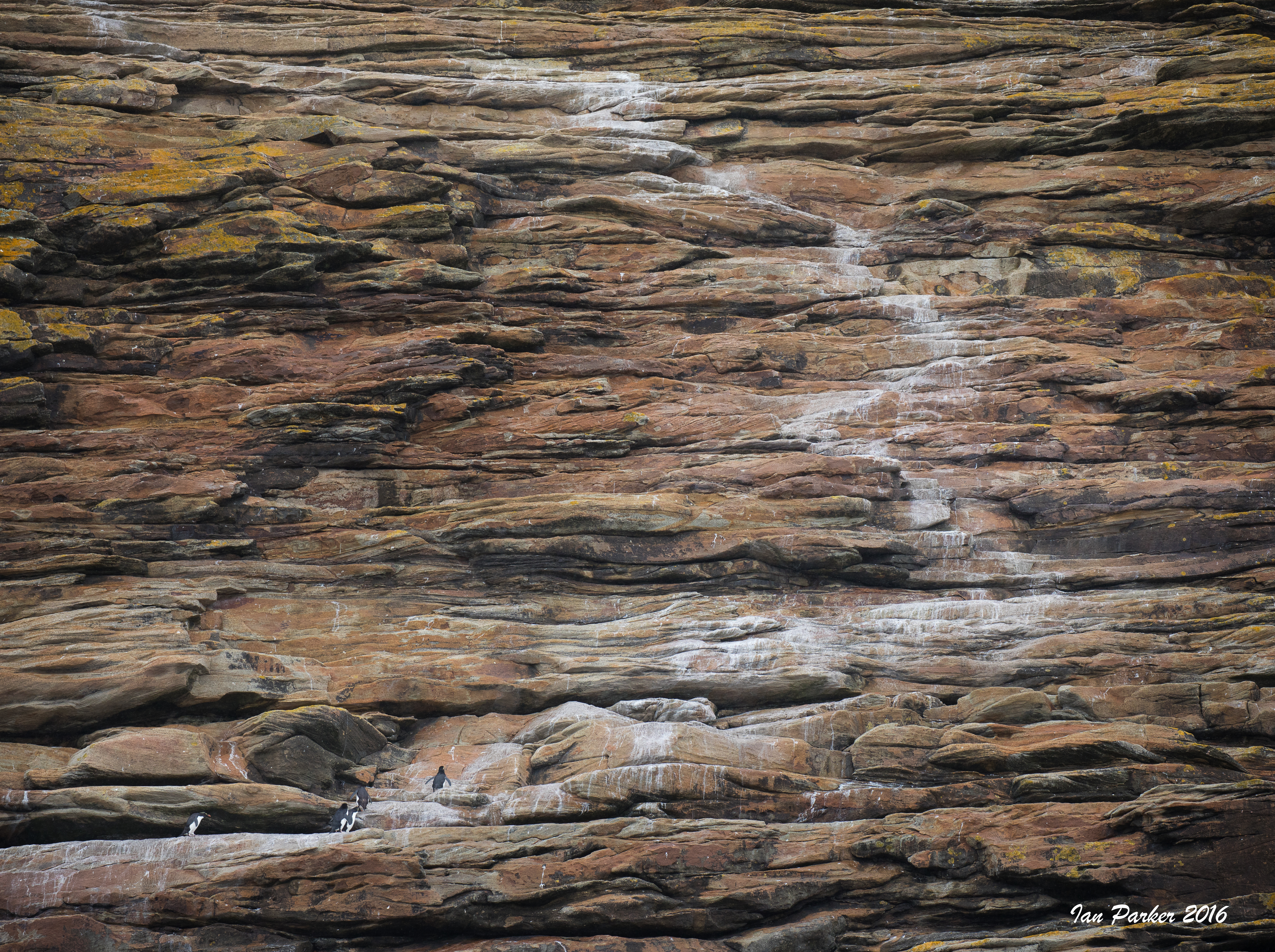
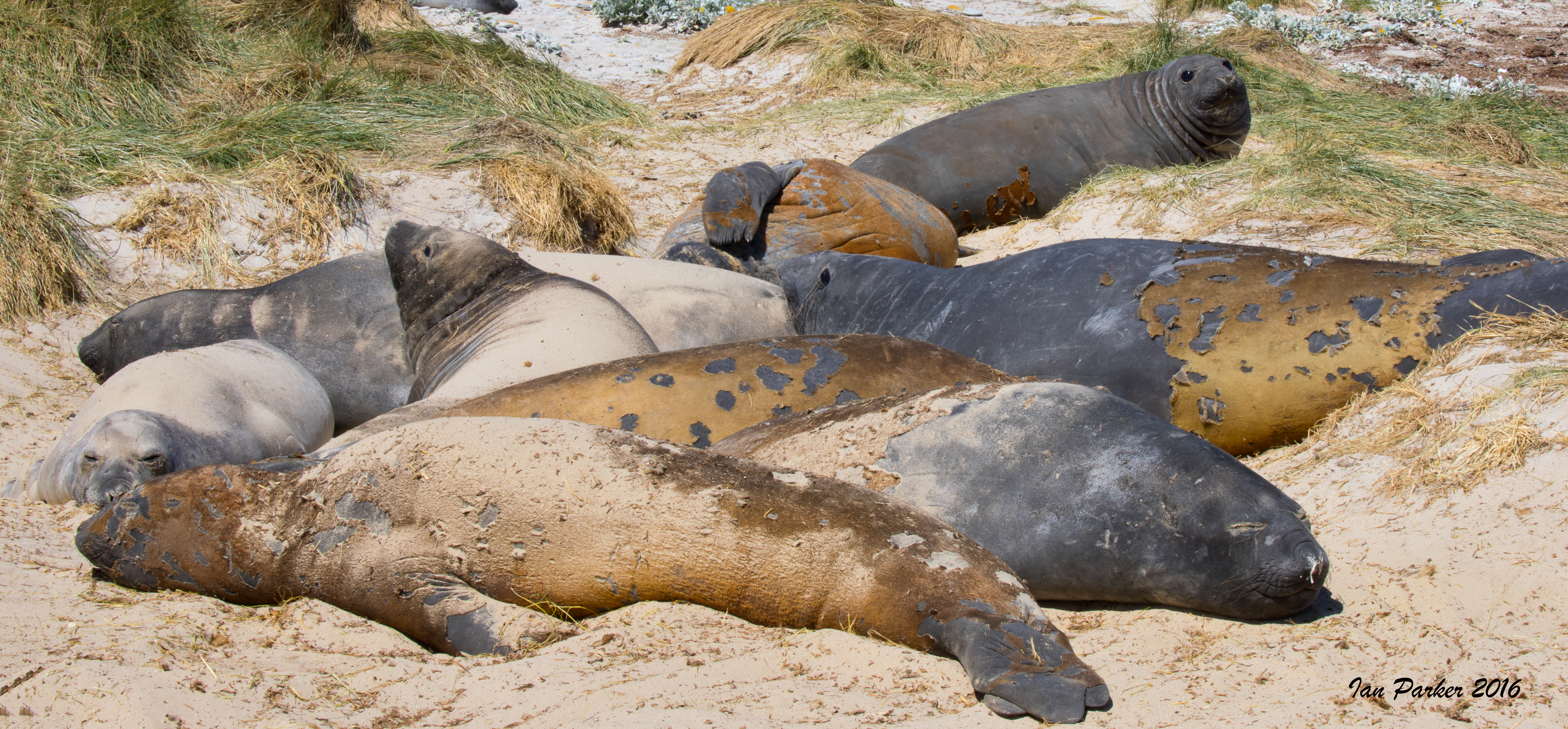
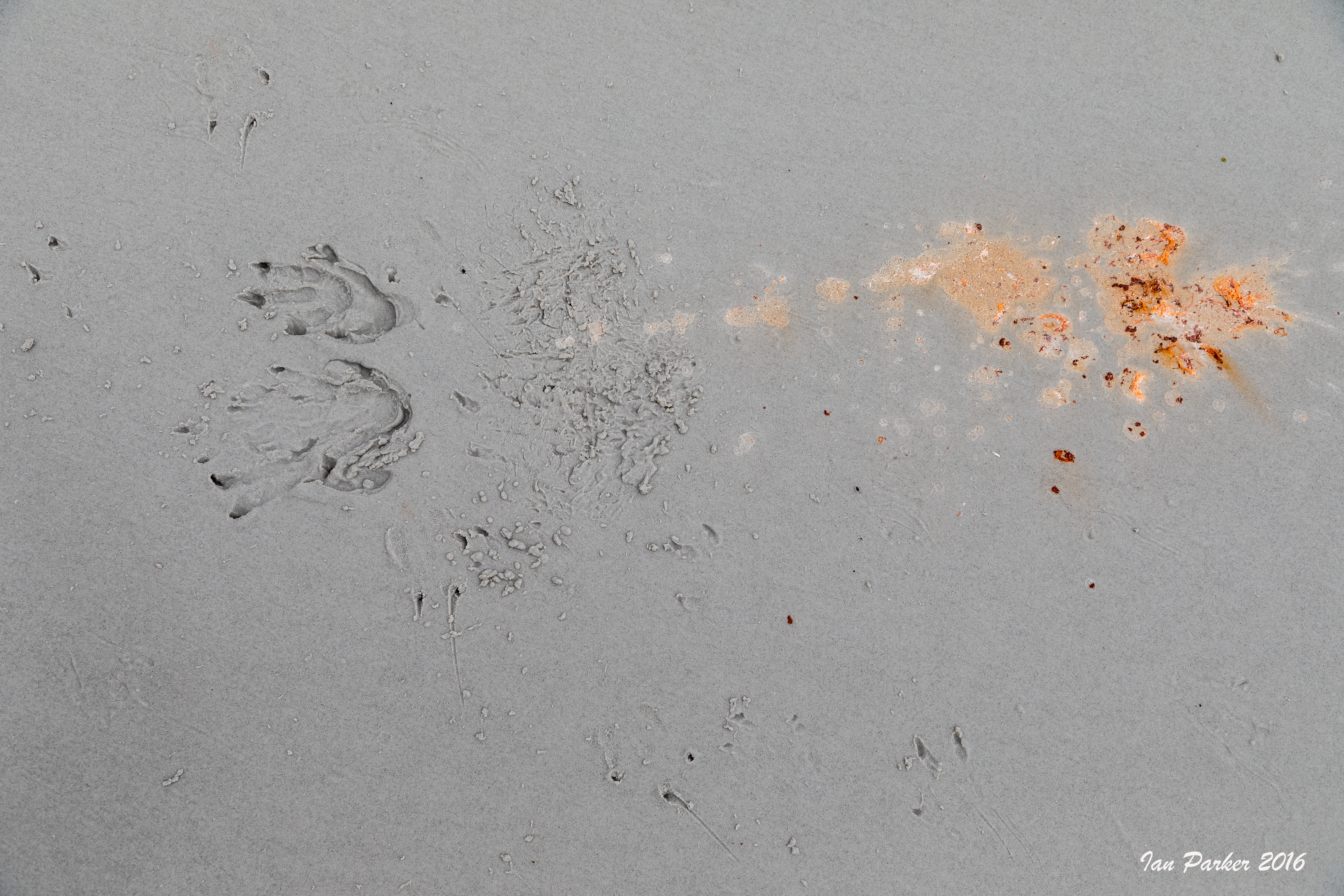
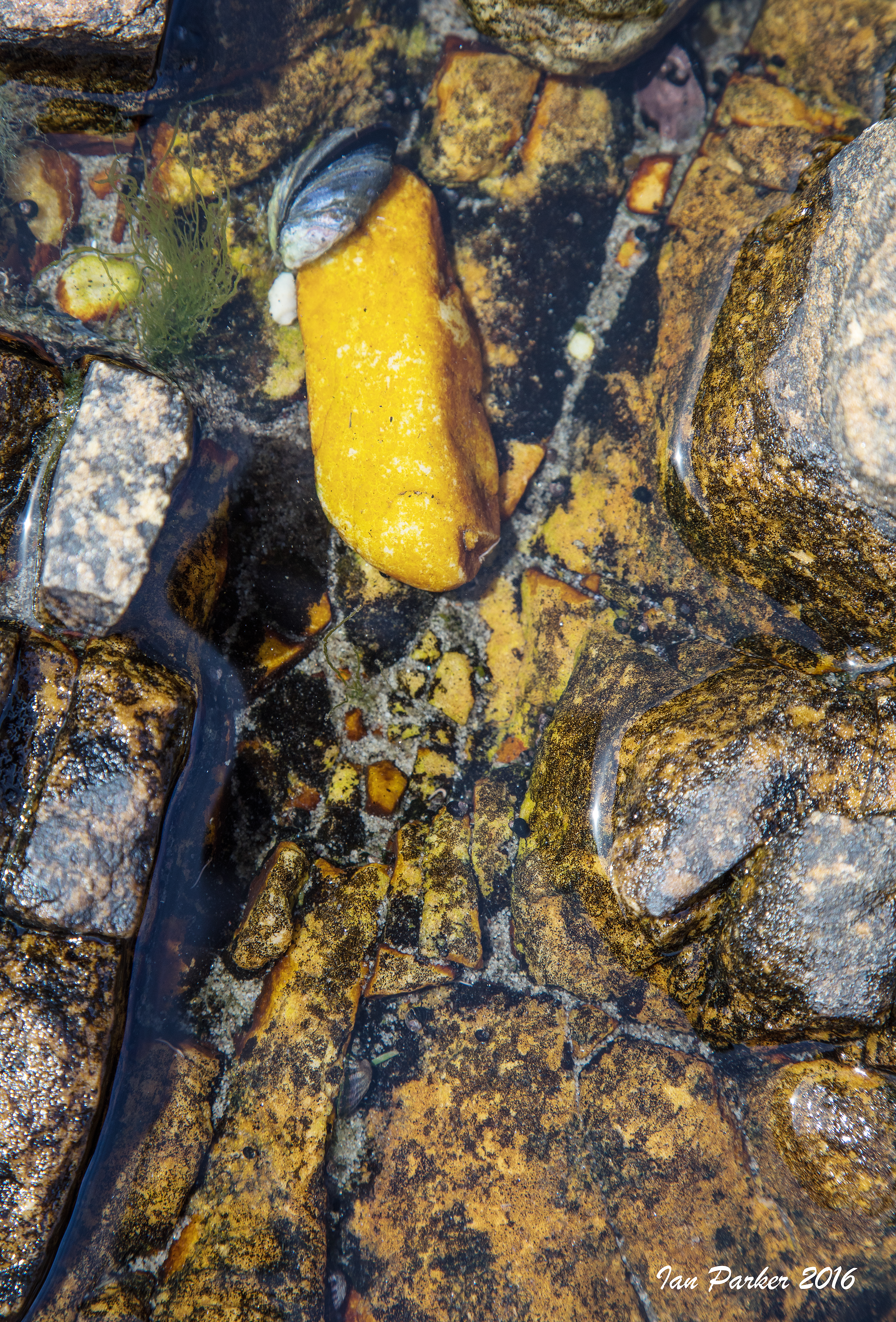
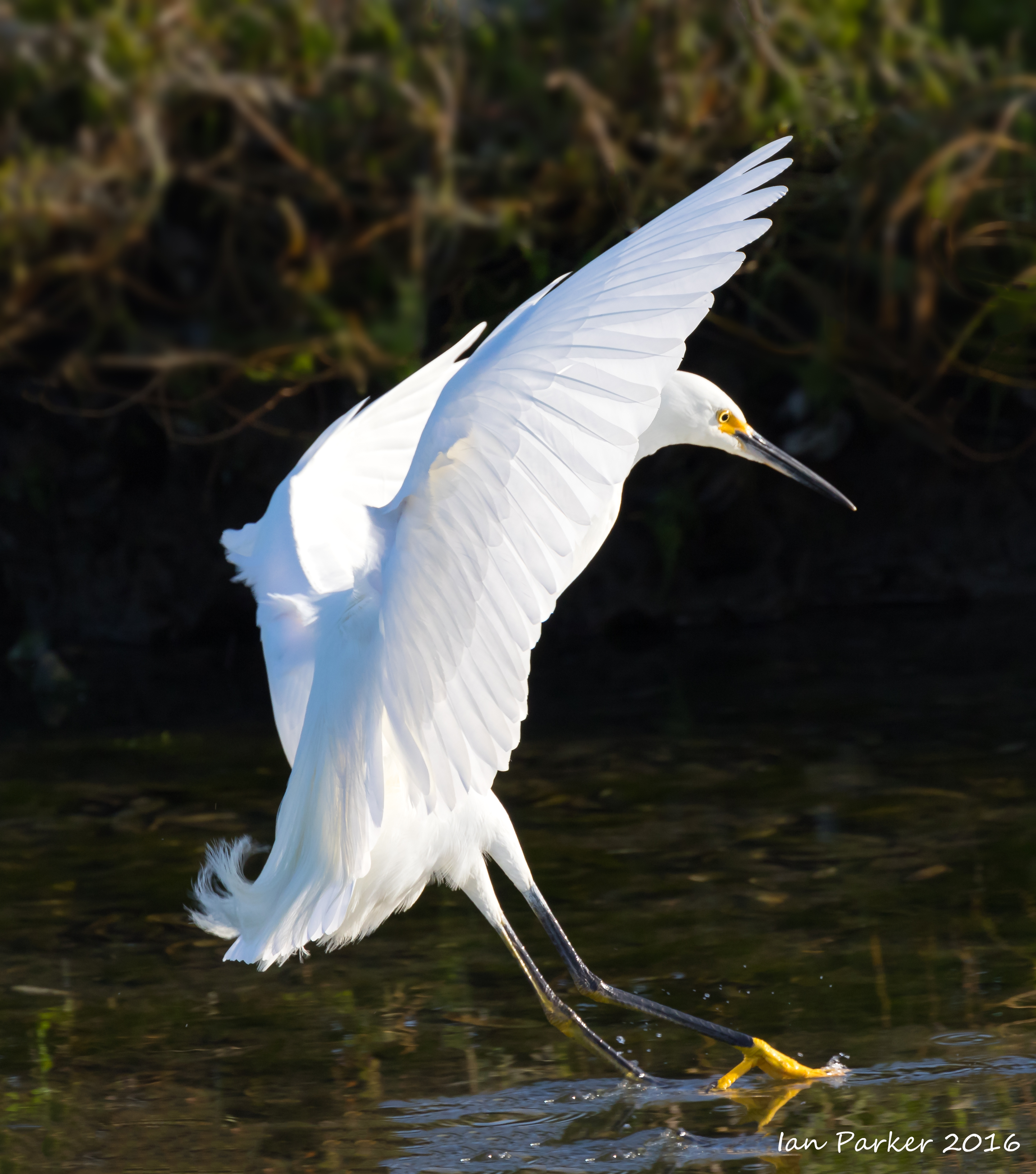
Our landing beach was close to the Sea Lion lodge, where we had stayed the previous year. In the morning I walked out past the Magellanic penguin colonies and lagoon to the Gentoo beach; and in the afternoon made a longer hike to the rockhopper and cormorant colonies on the cliffs by the Sheffield Memorial.
|
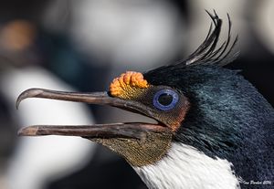
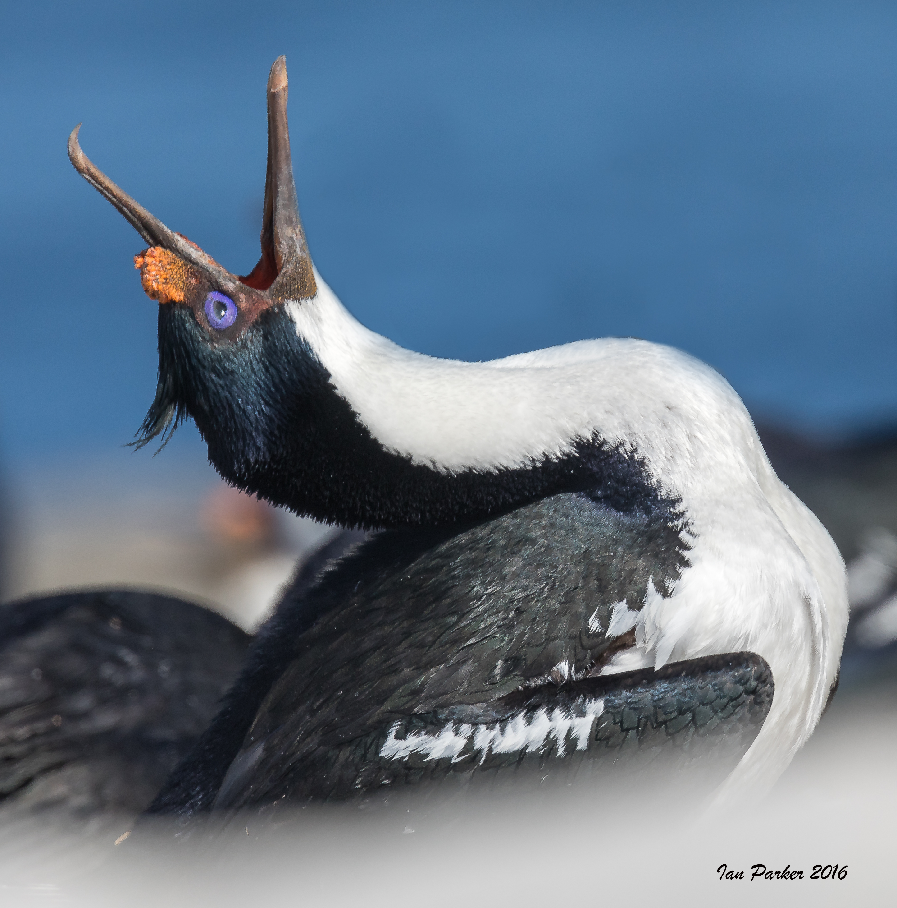
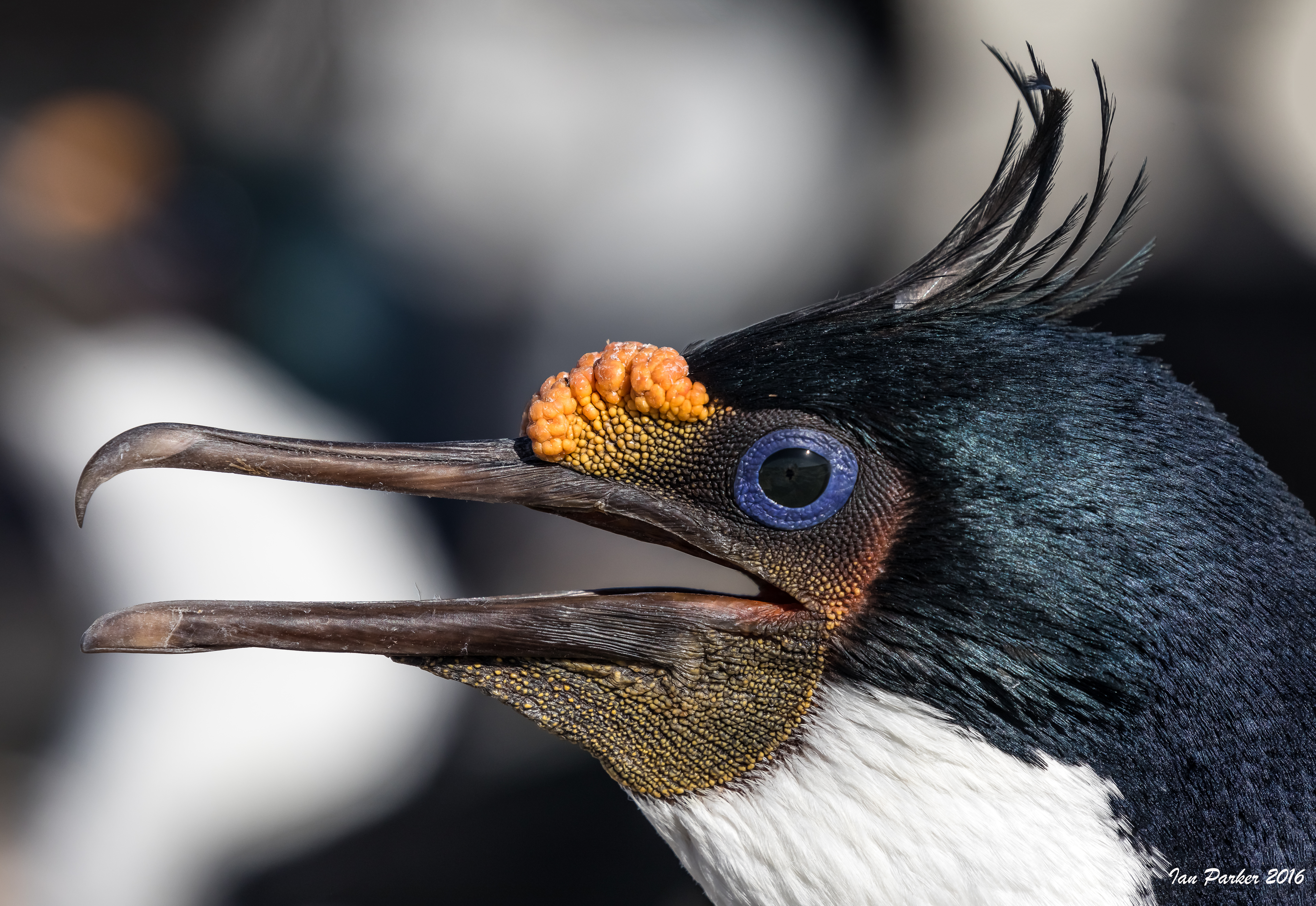
Blue-eyed Shag head-shot: New Island, Falkland Islands |

Two Blue-eyed Shags: New Island, Falkland Islands |
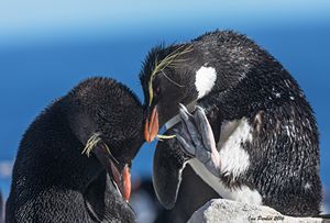
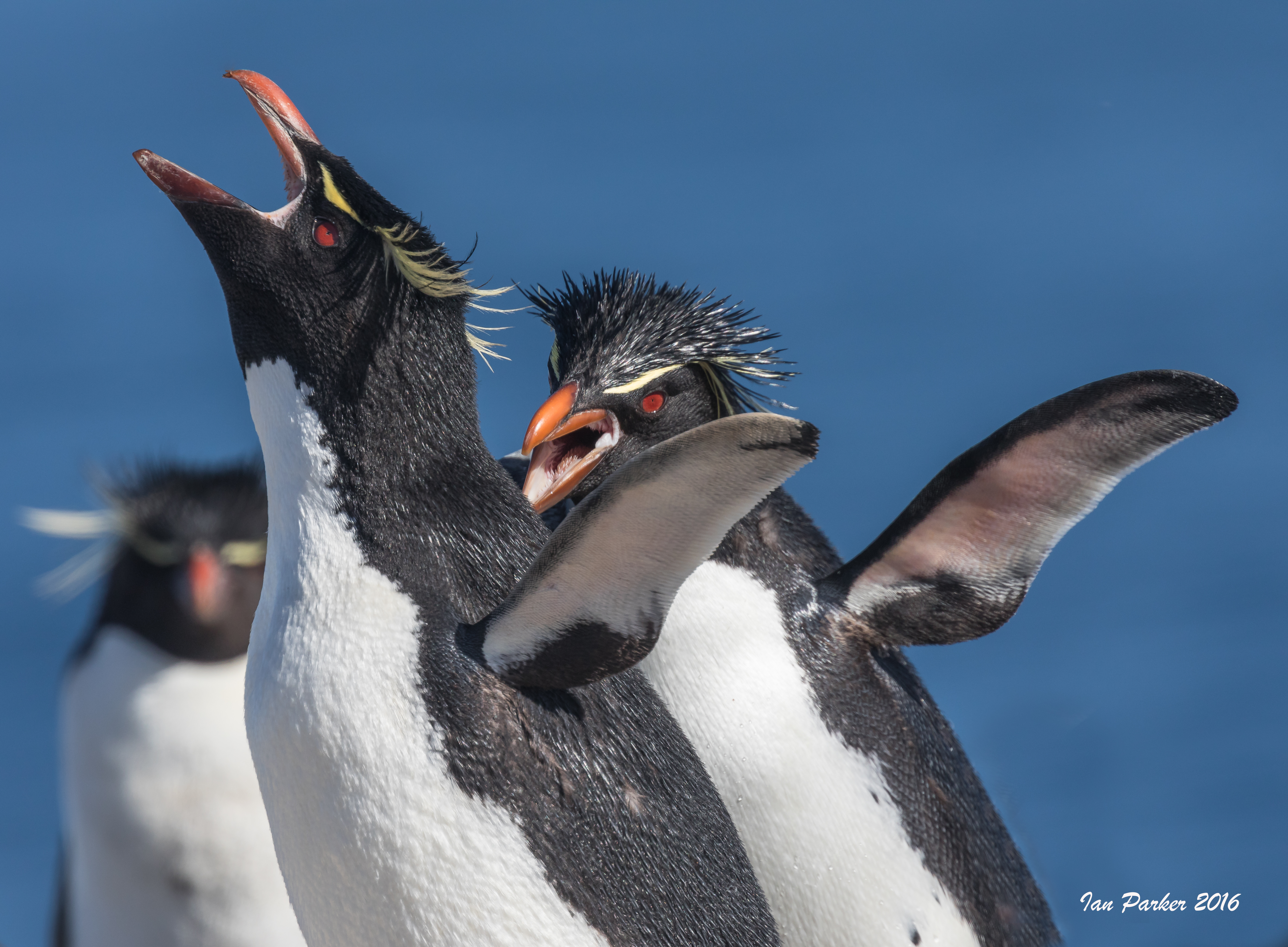
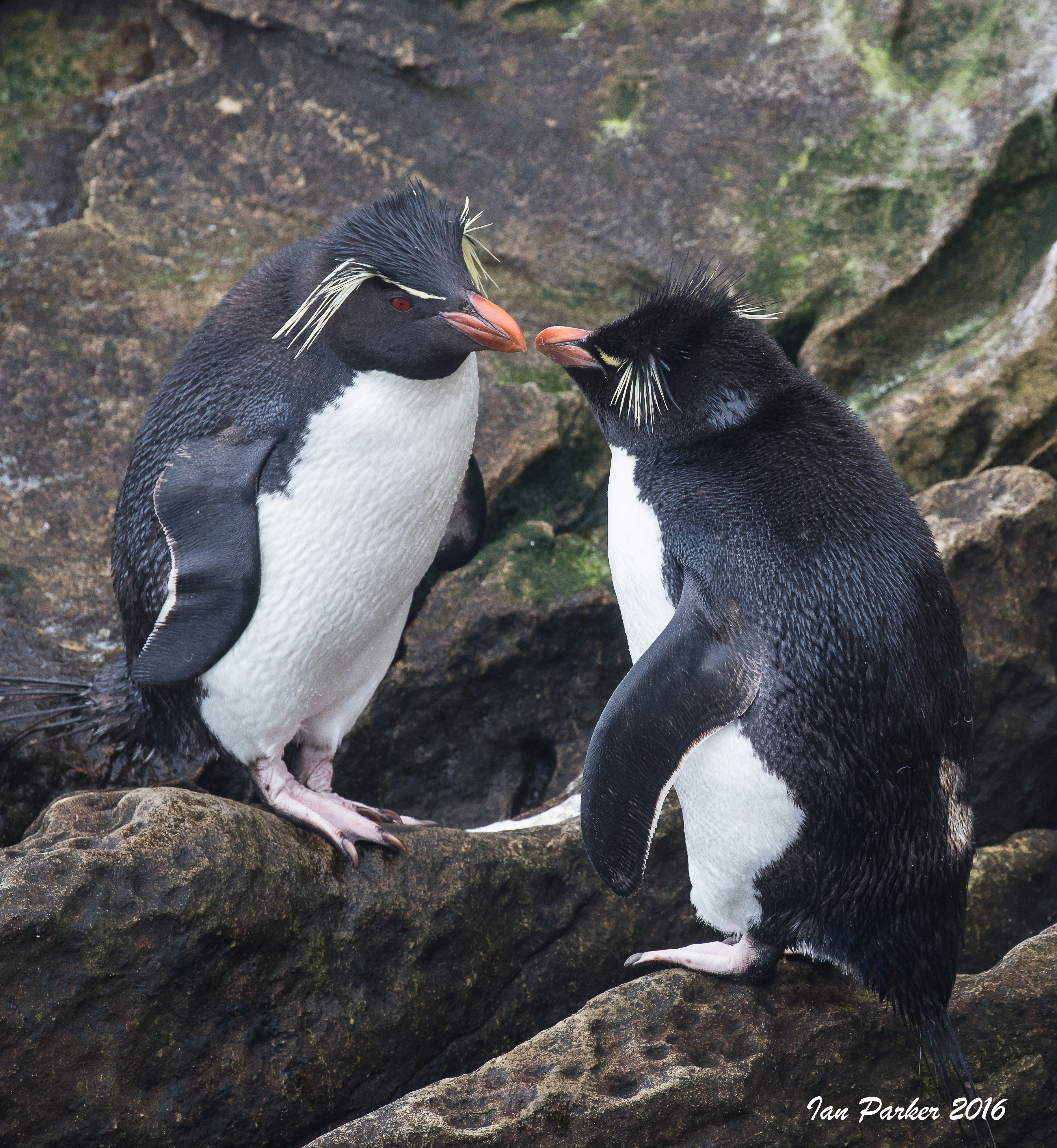
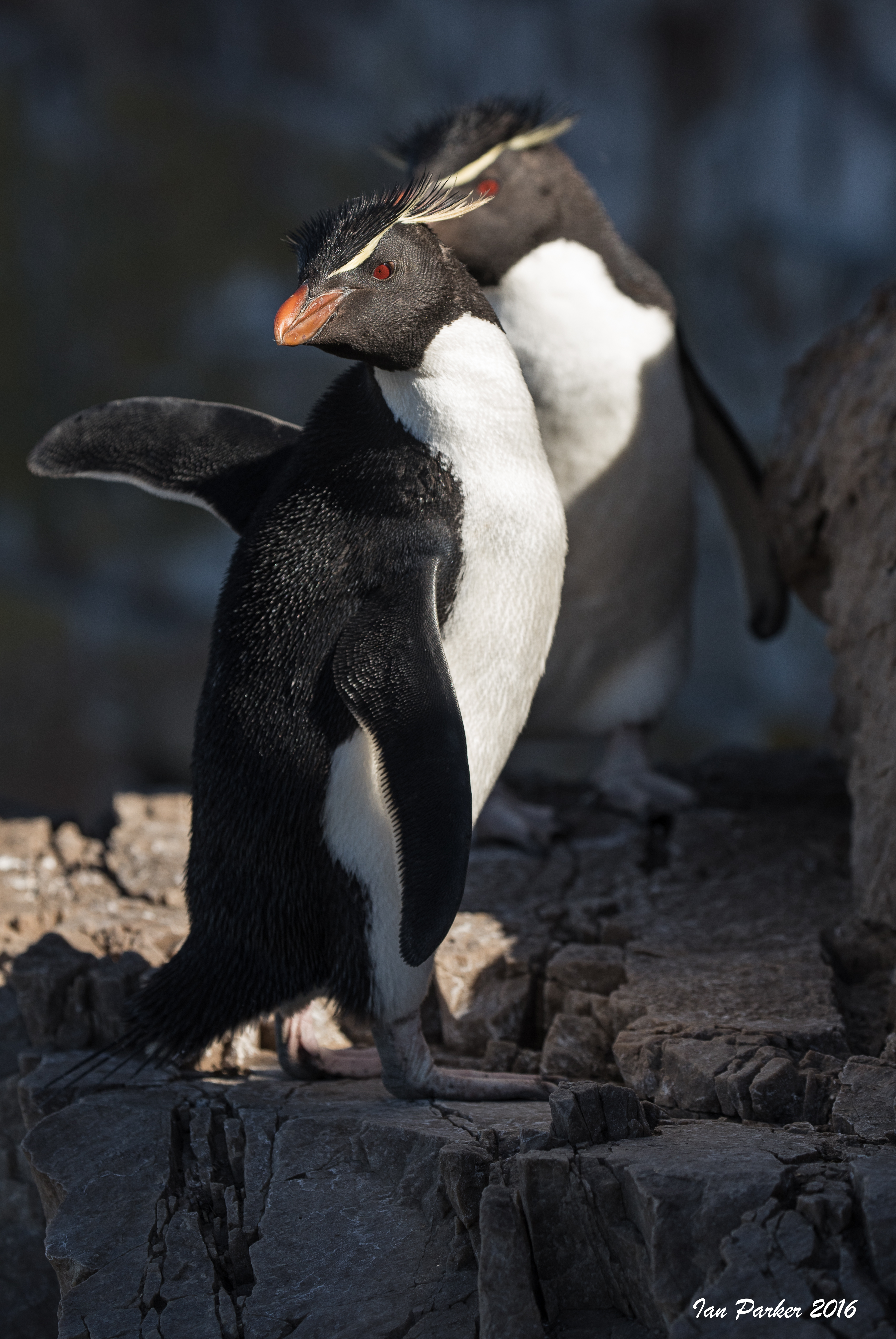
Pair of Rockhopper Penguins grooming: New Island, Falkland Islands |
|
|
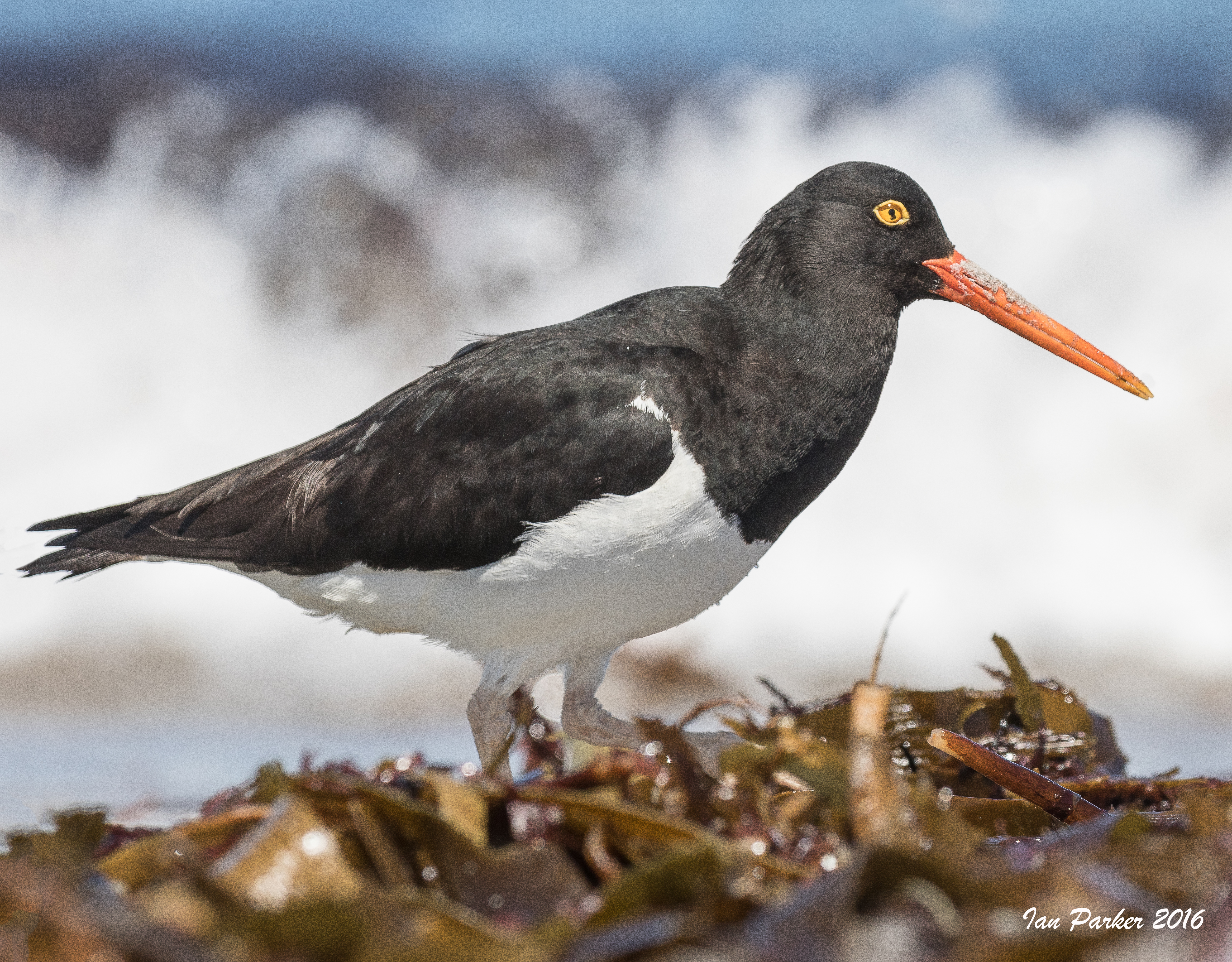
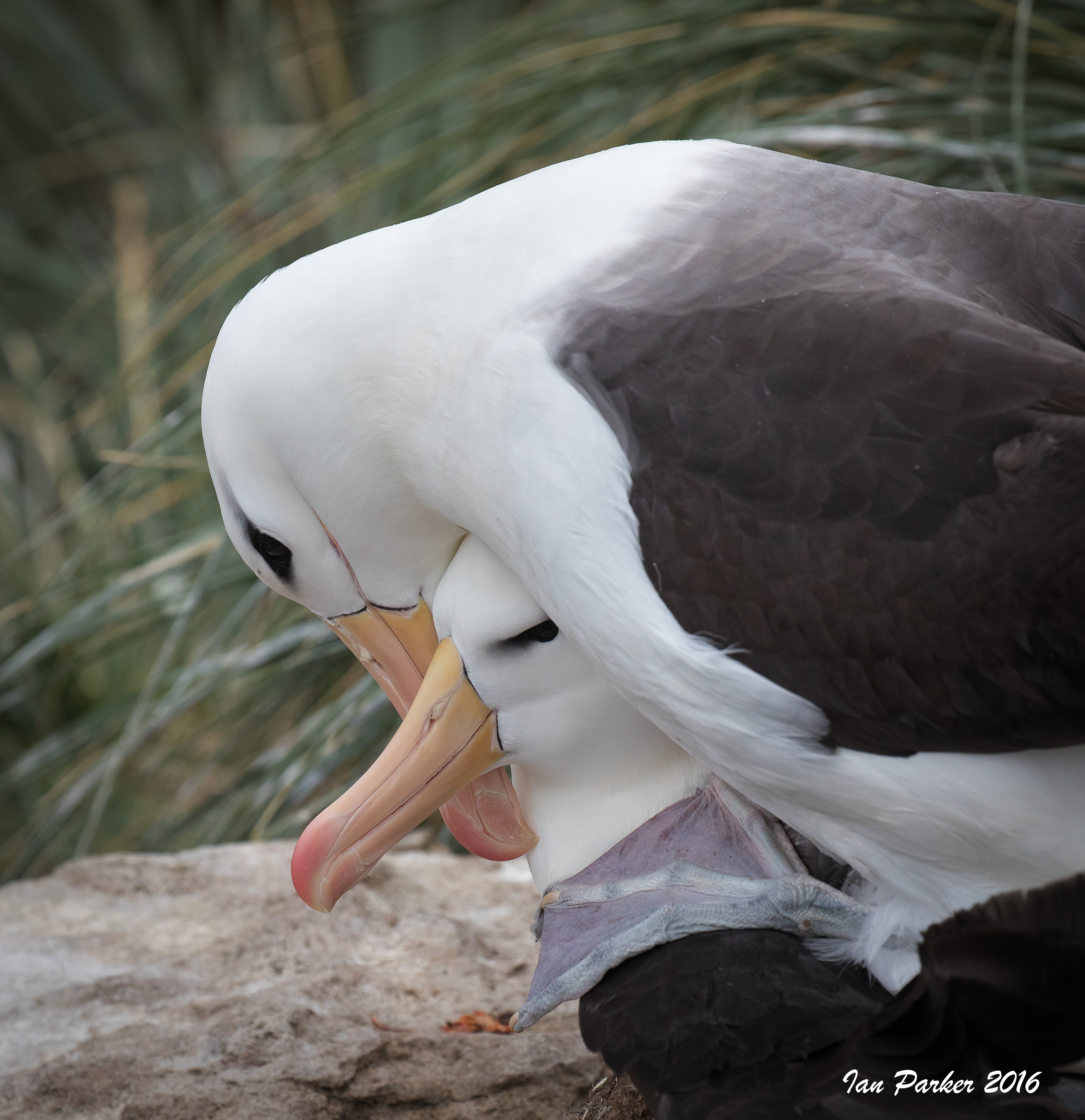
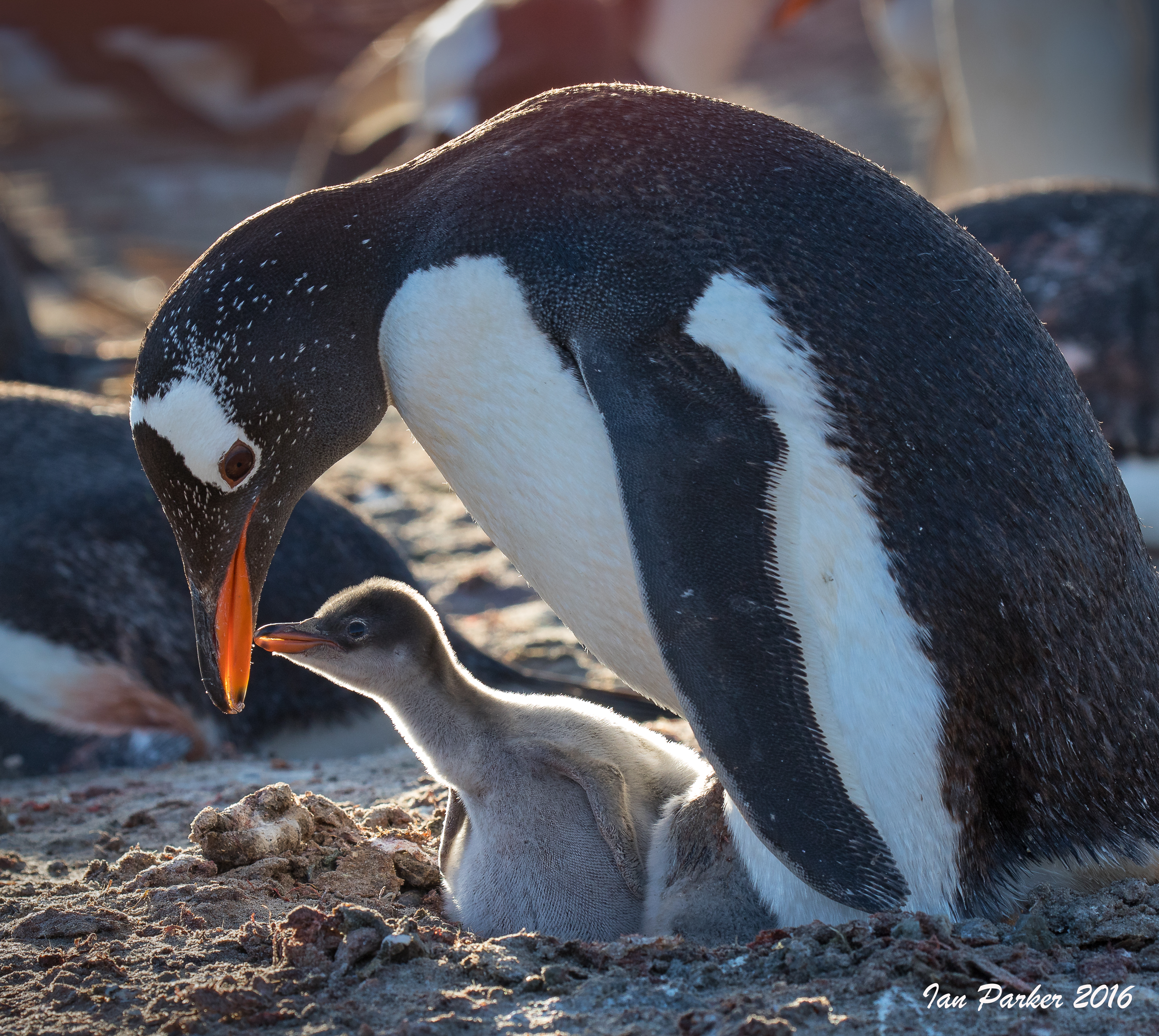
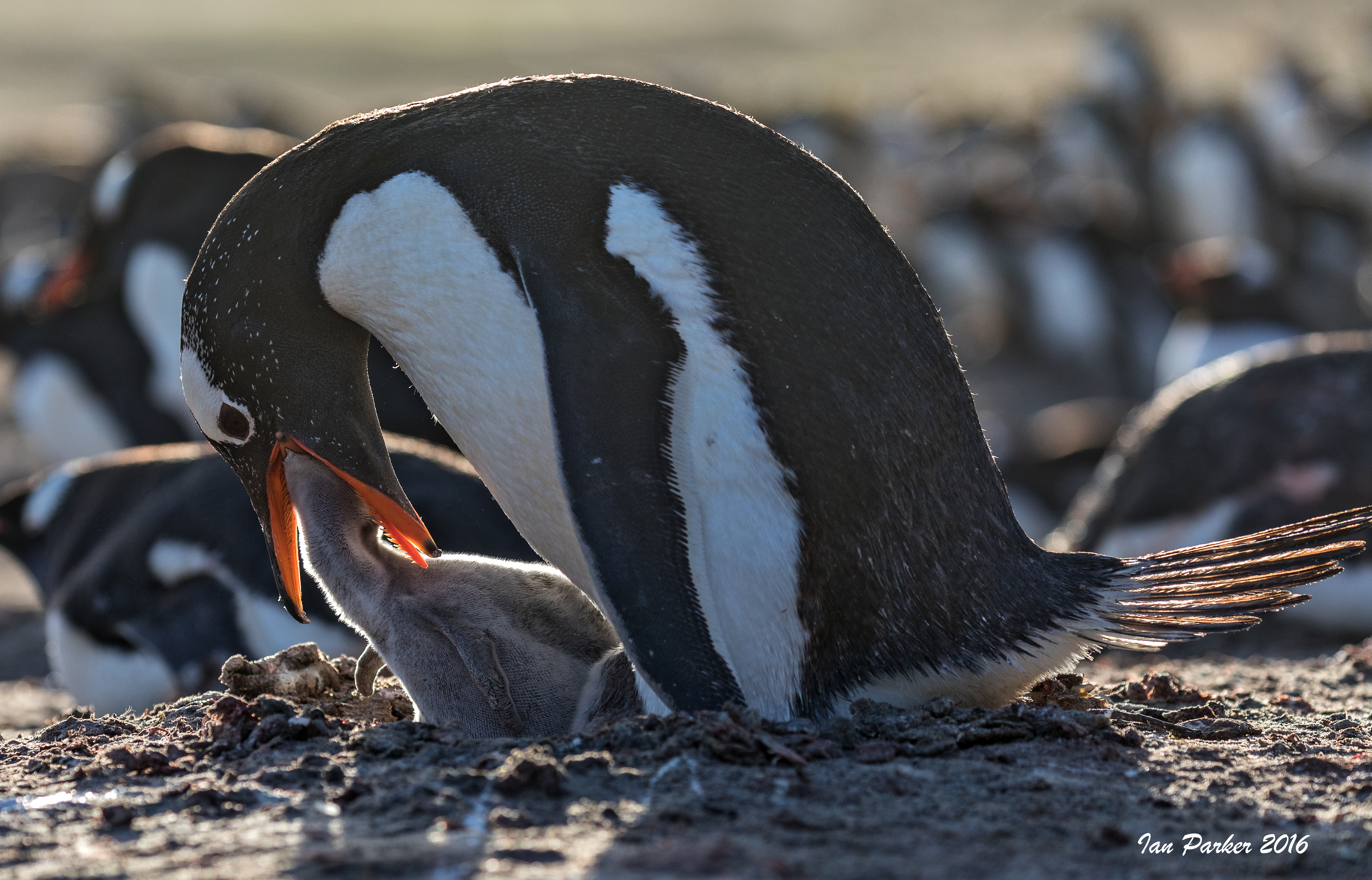
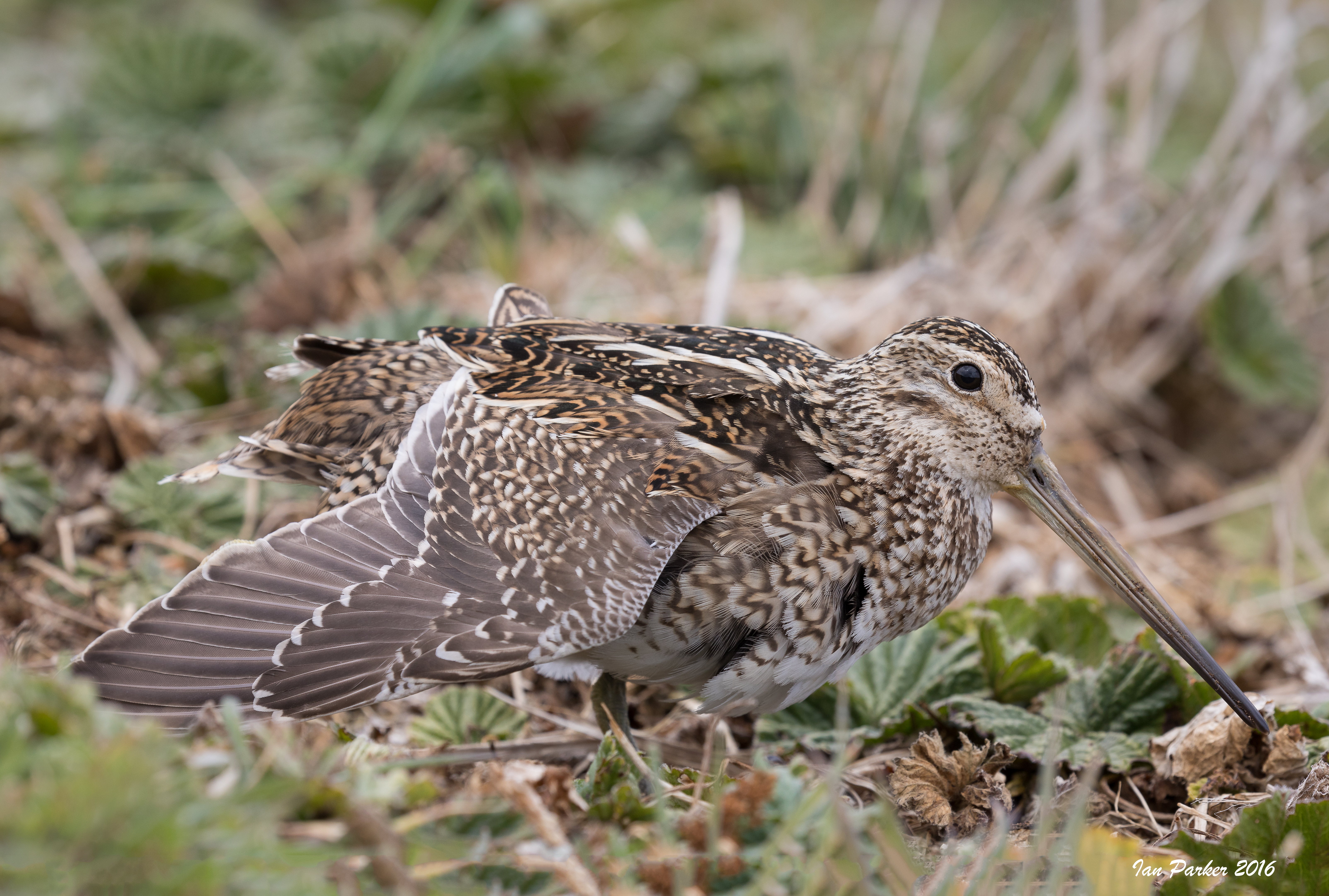
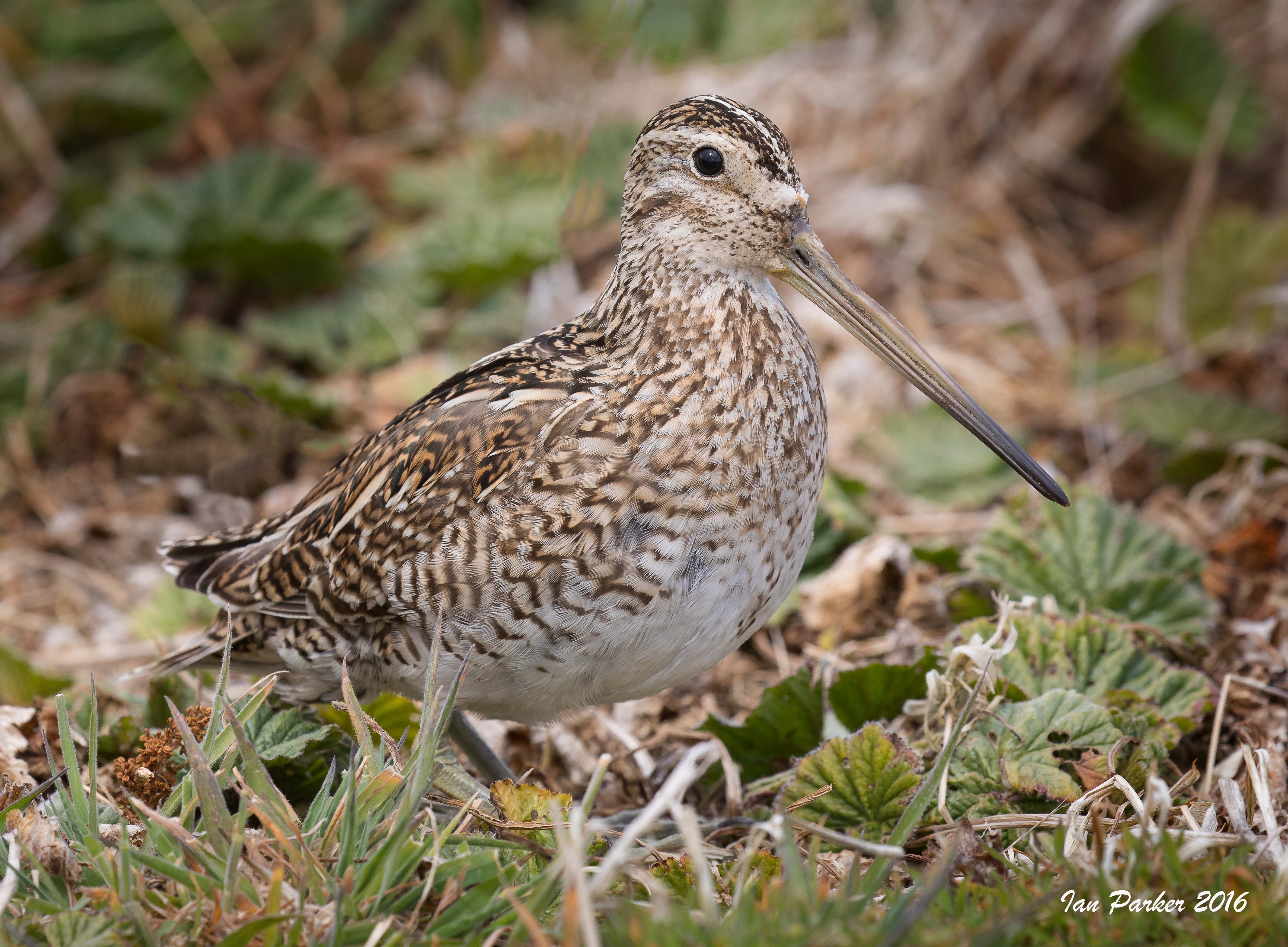
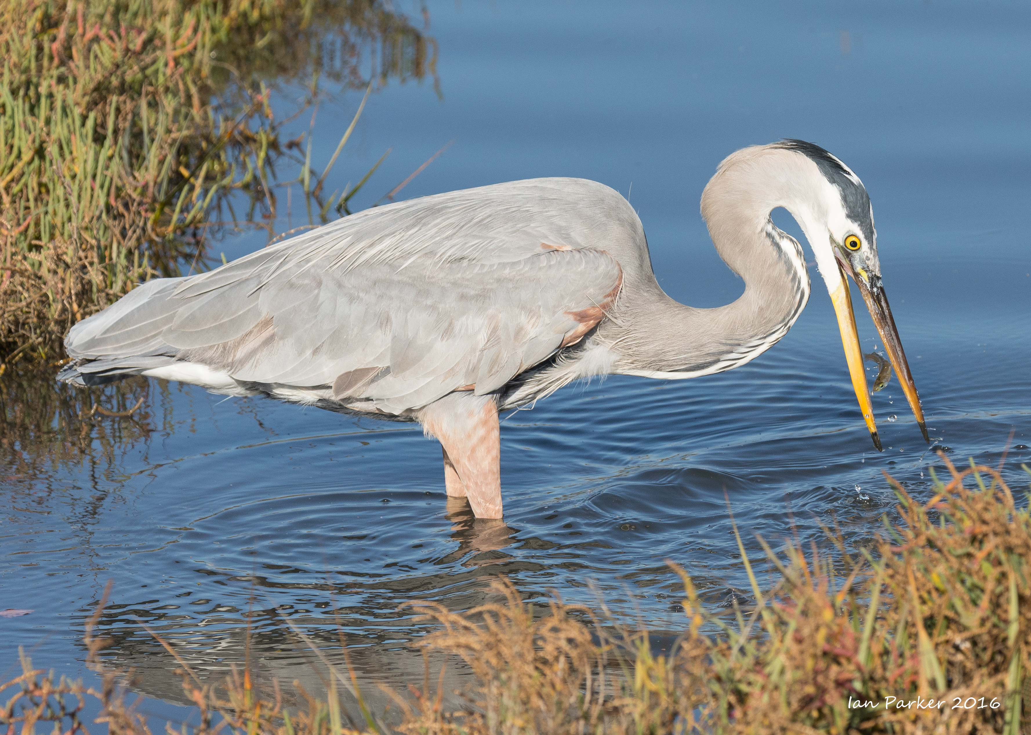
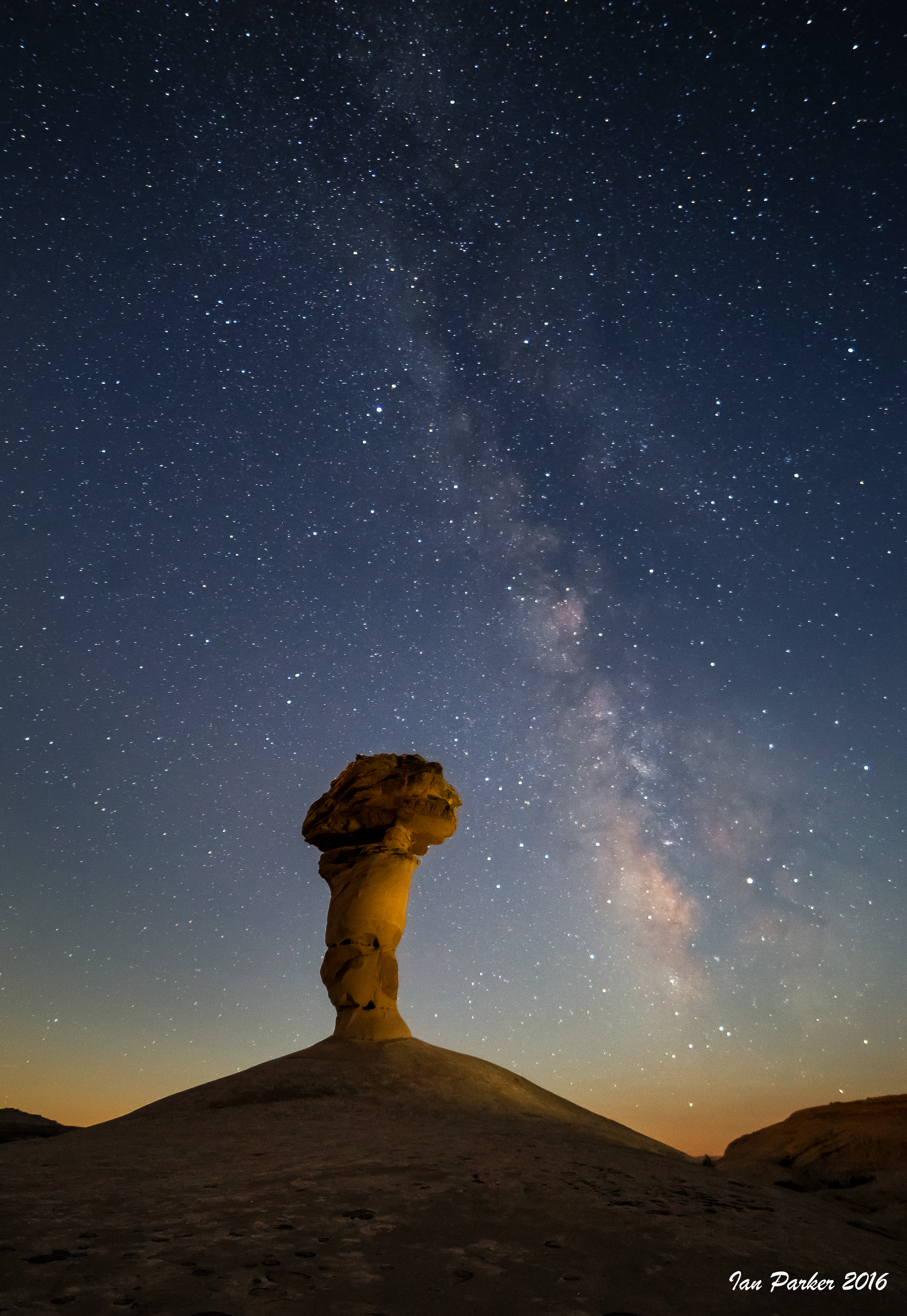
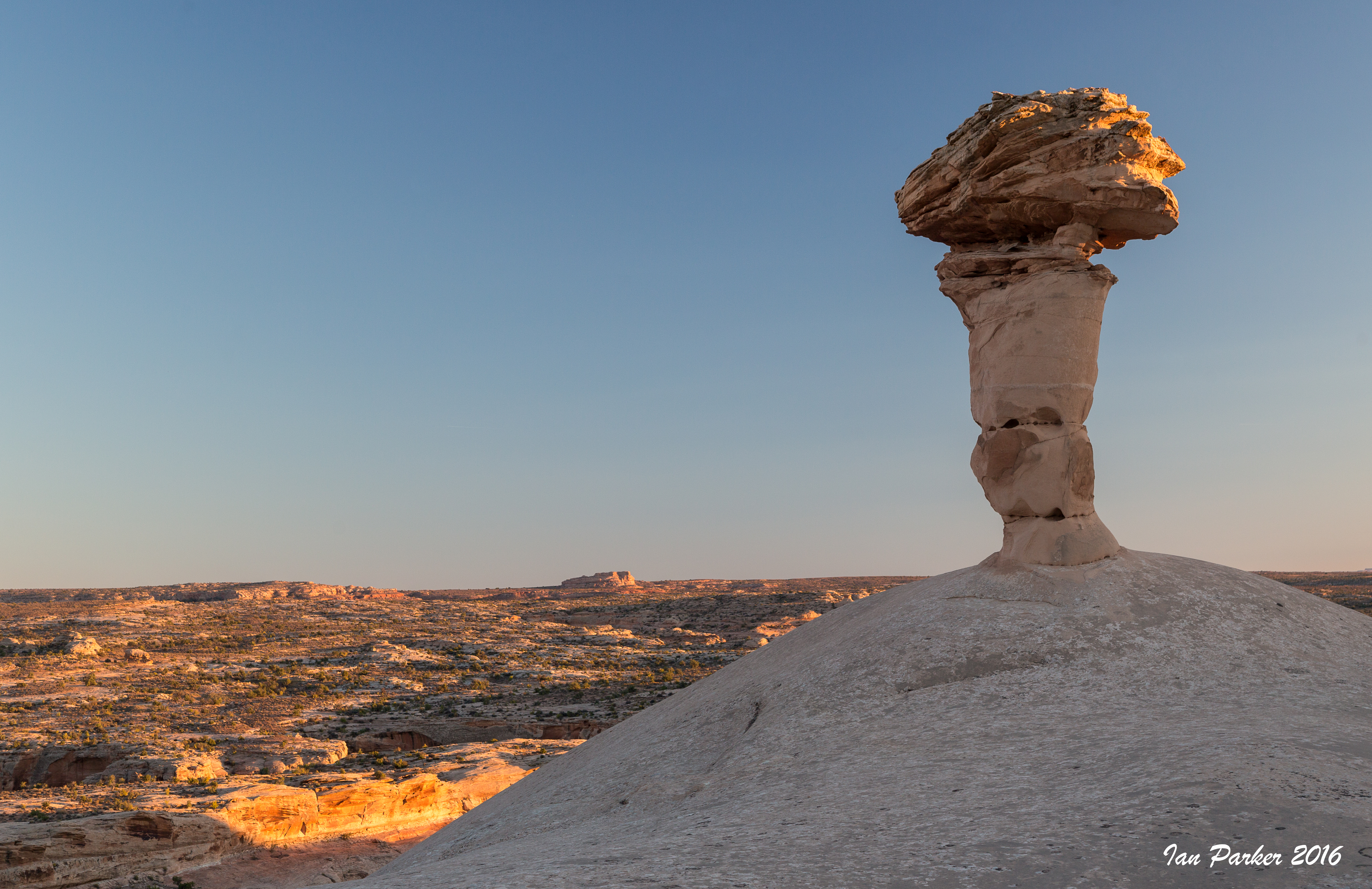
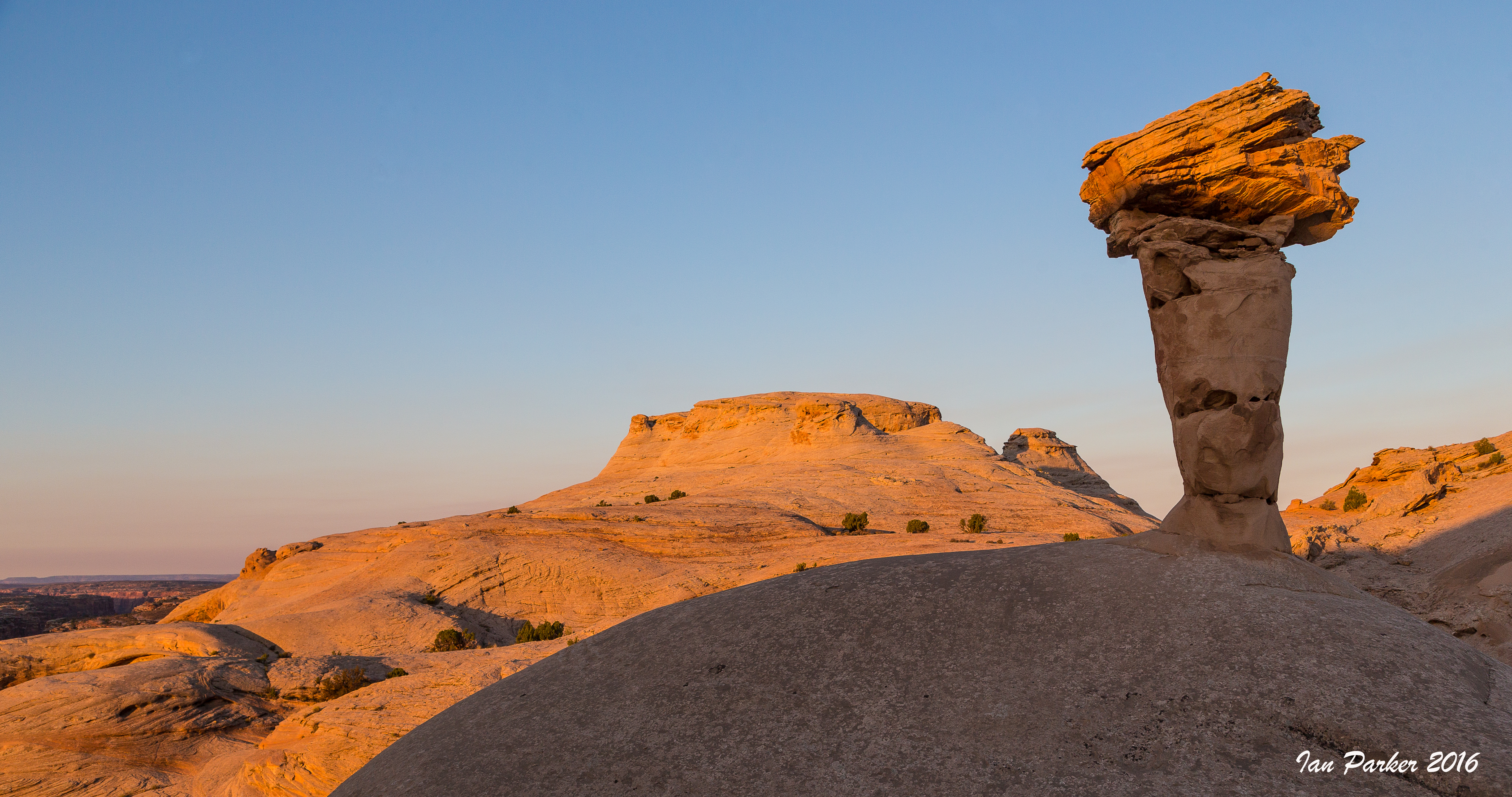
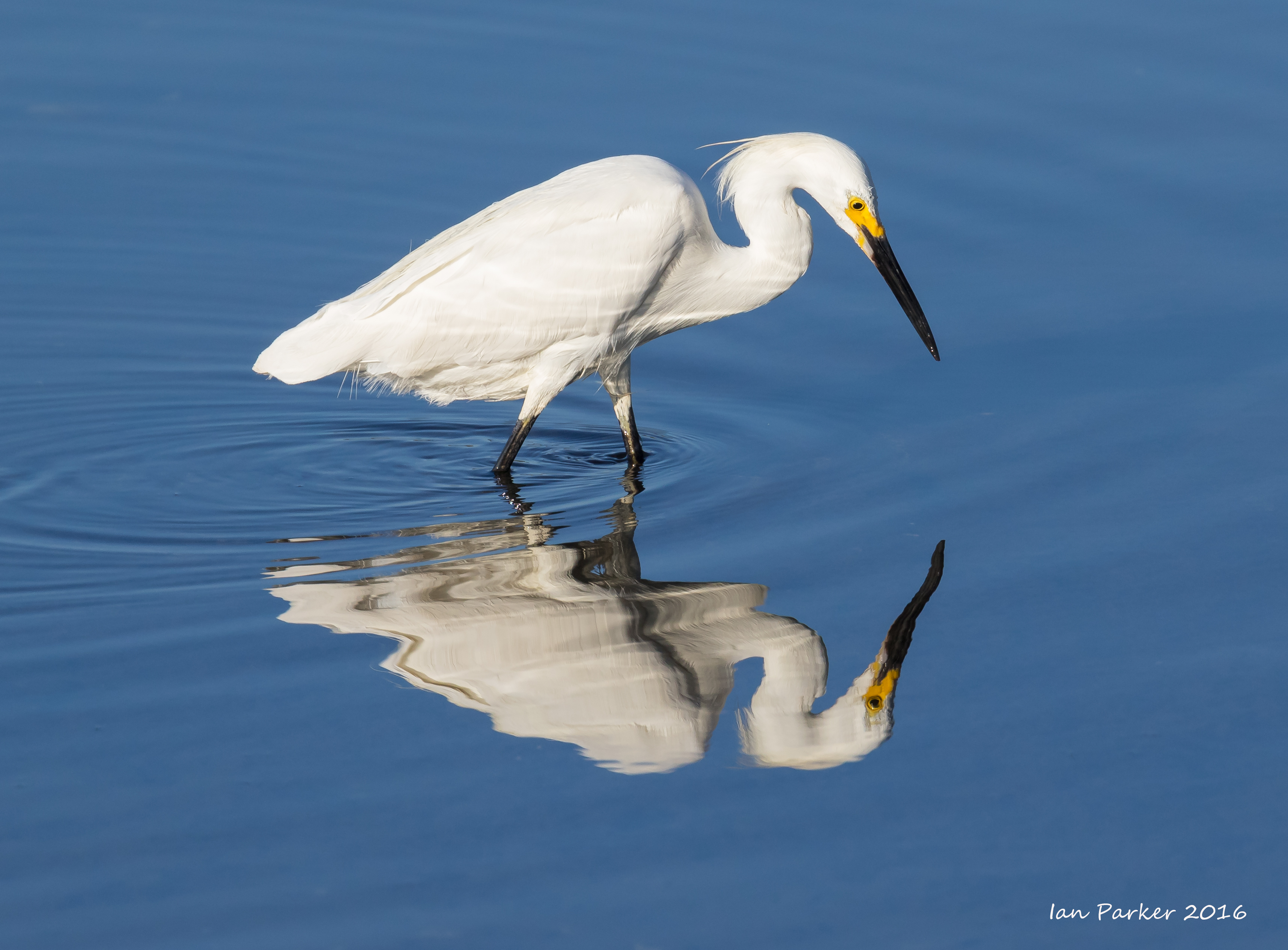
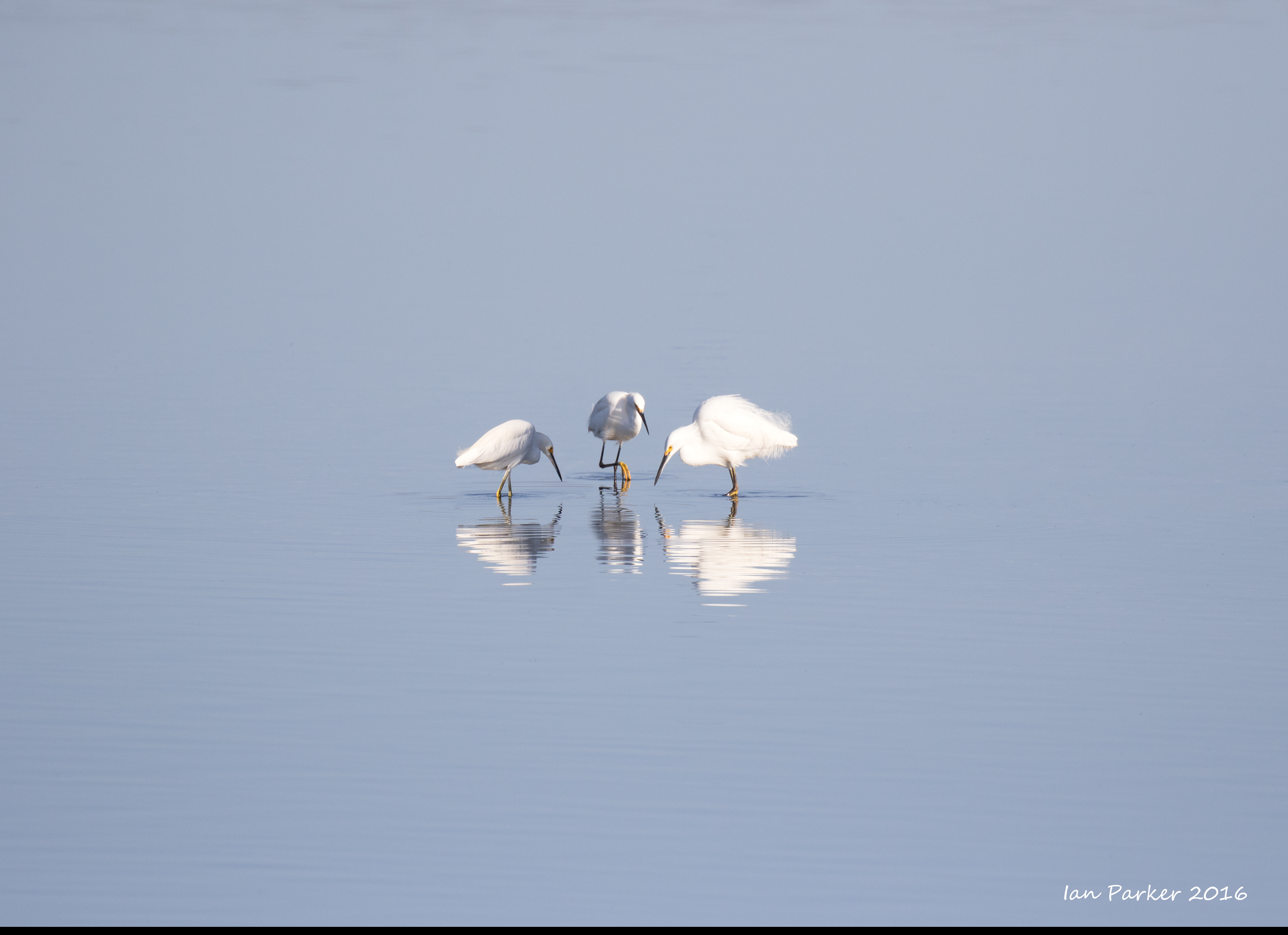
December 6: Bird Island
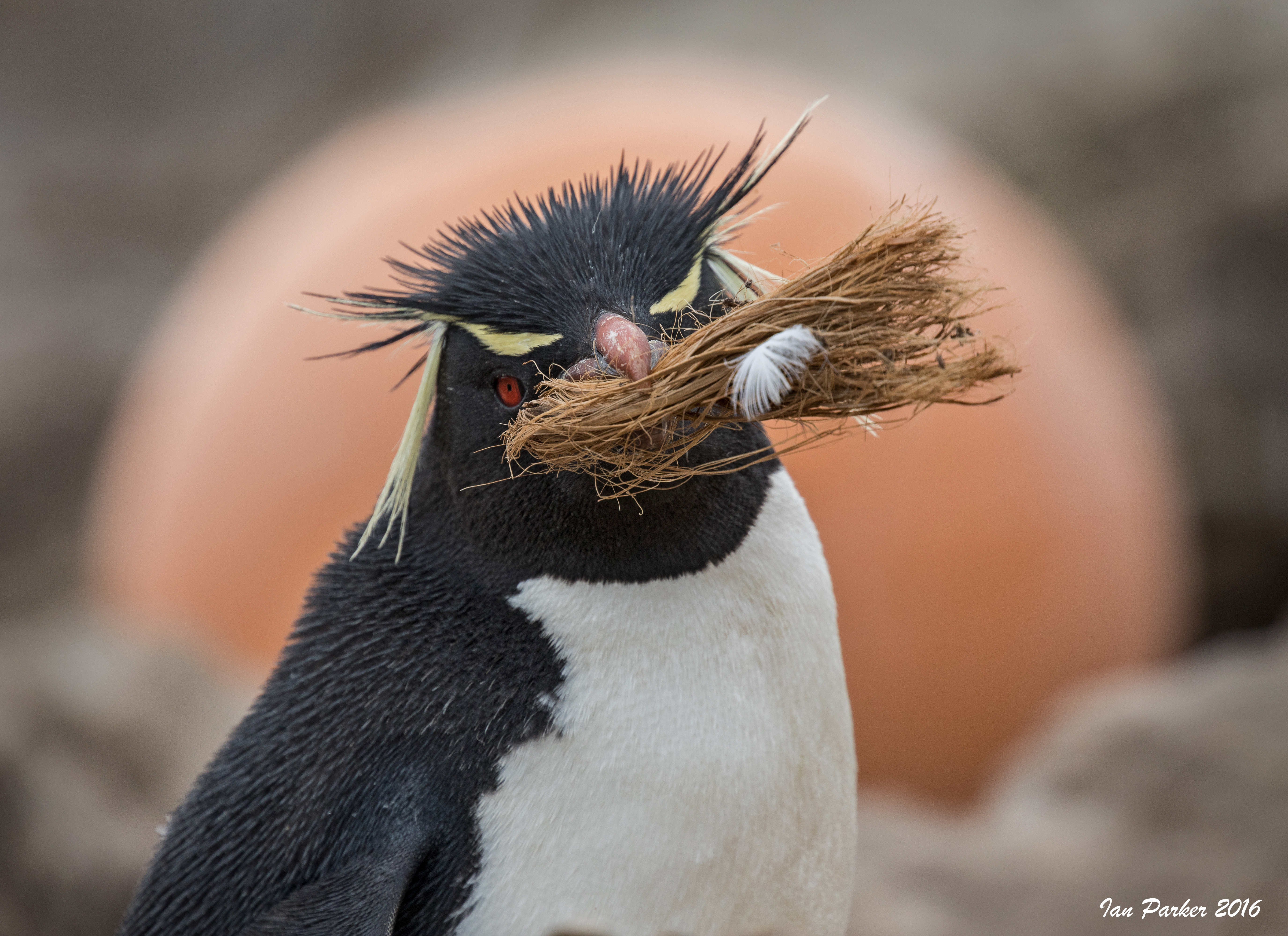
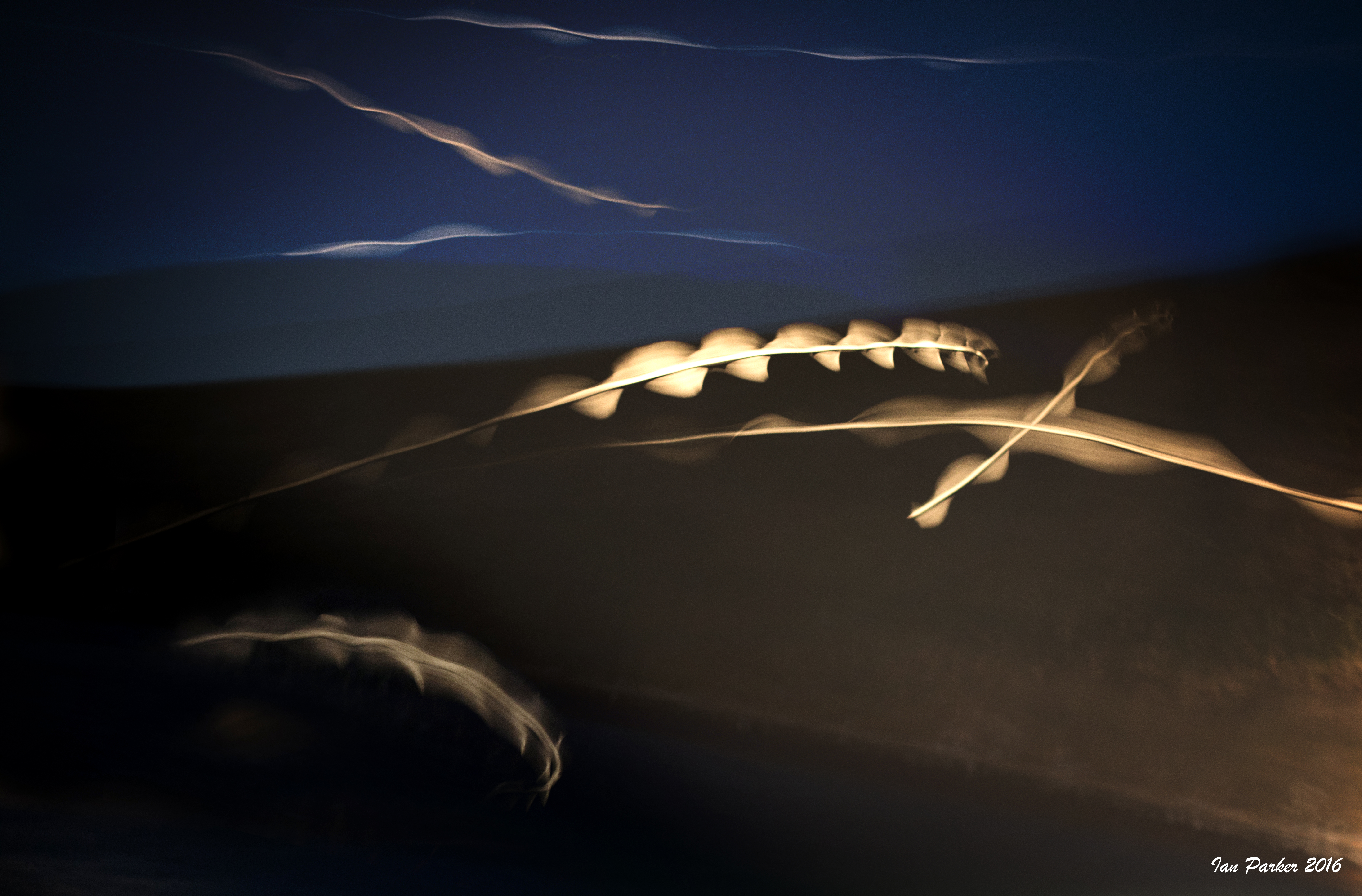
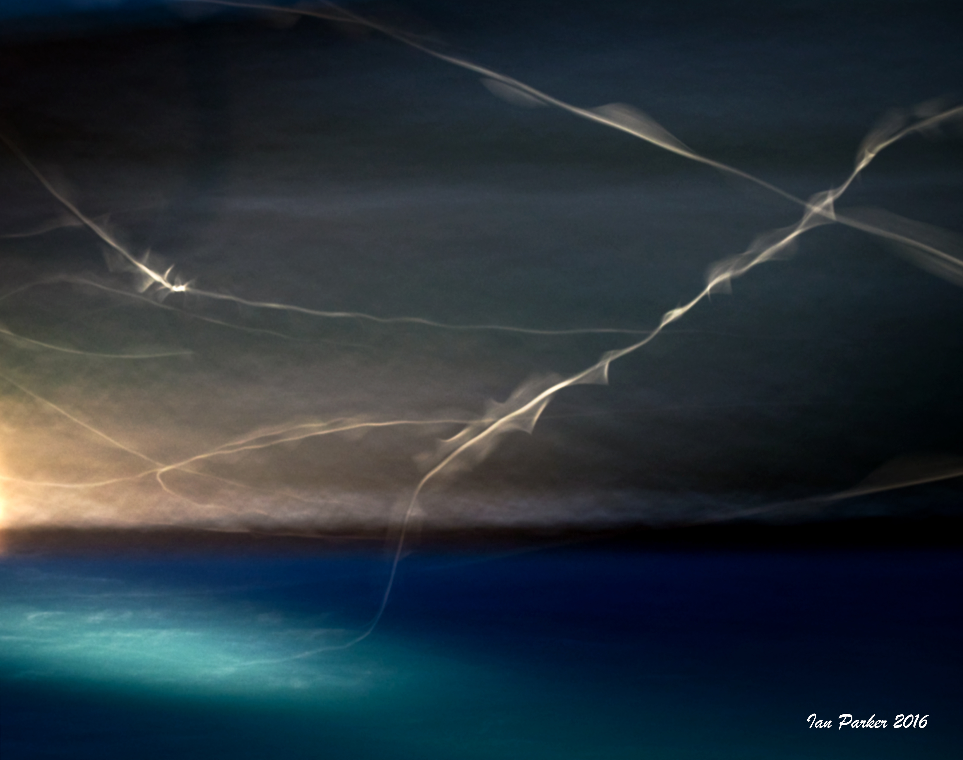
December 8th : New Island
Thin-billed prions are shy bird that only come out after dark. The long-exposure photos below capture their flight paths, using the ship's searchlight to illuminate the white under-wings of the prions.
December 9th : Westpoint Island
December 9,10th : Grave Cove
December 10th : Carcass Island
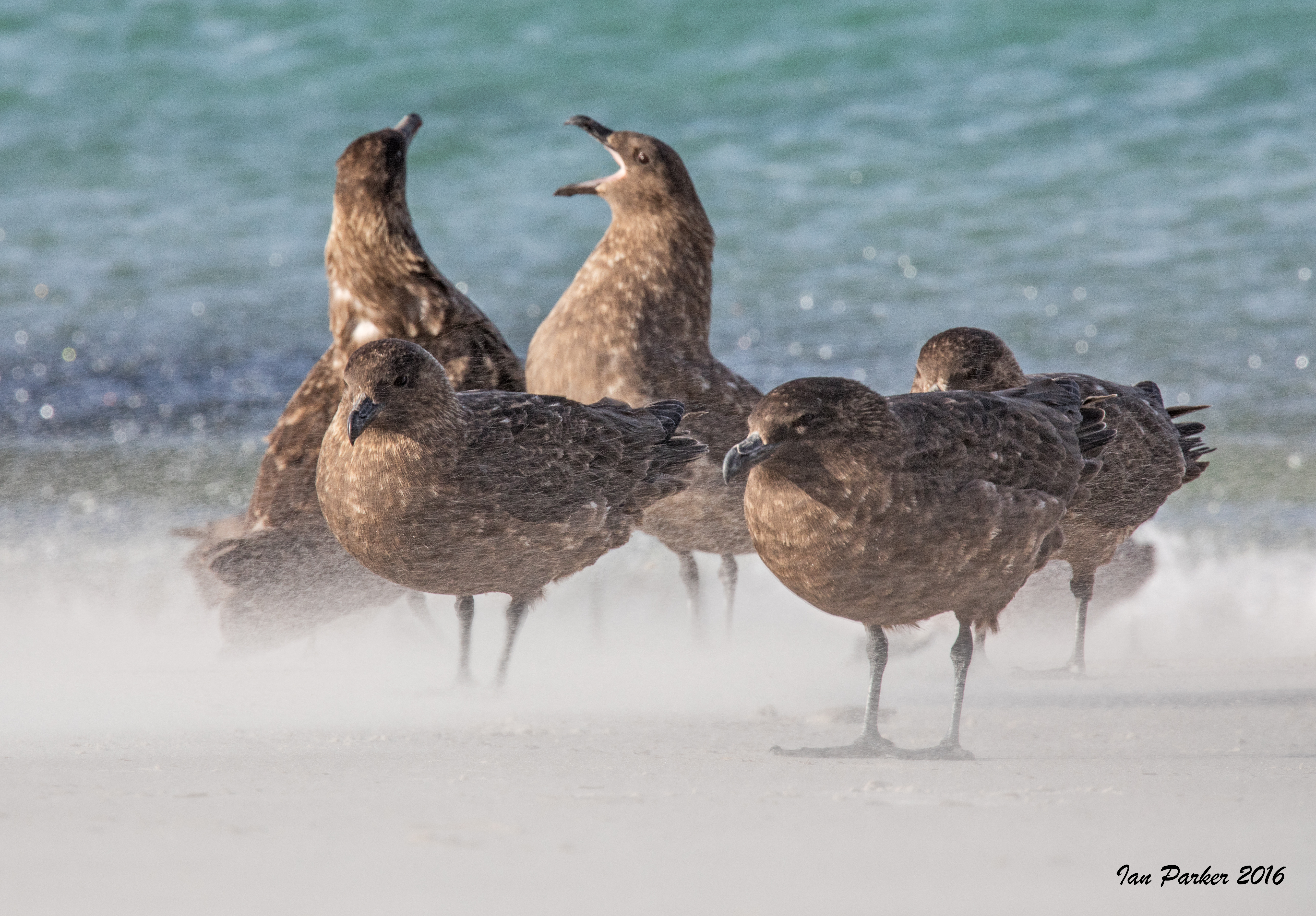
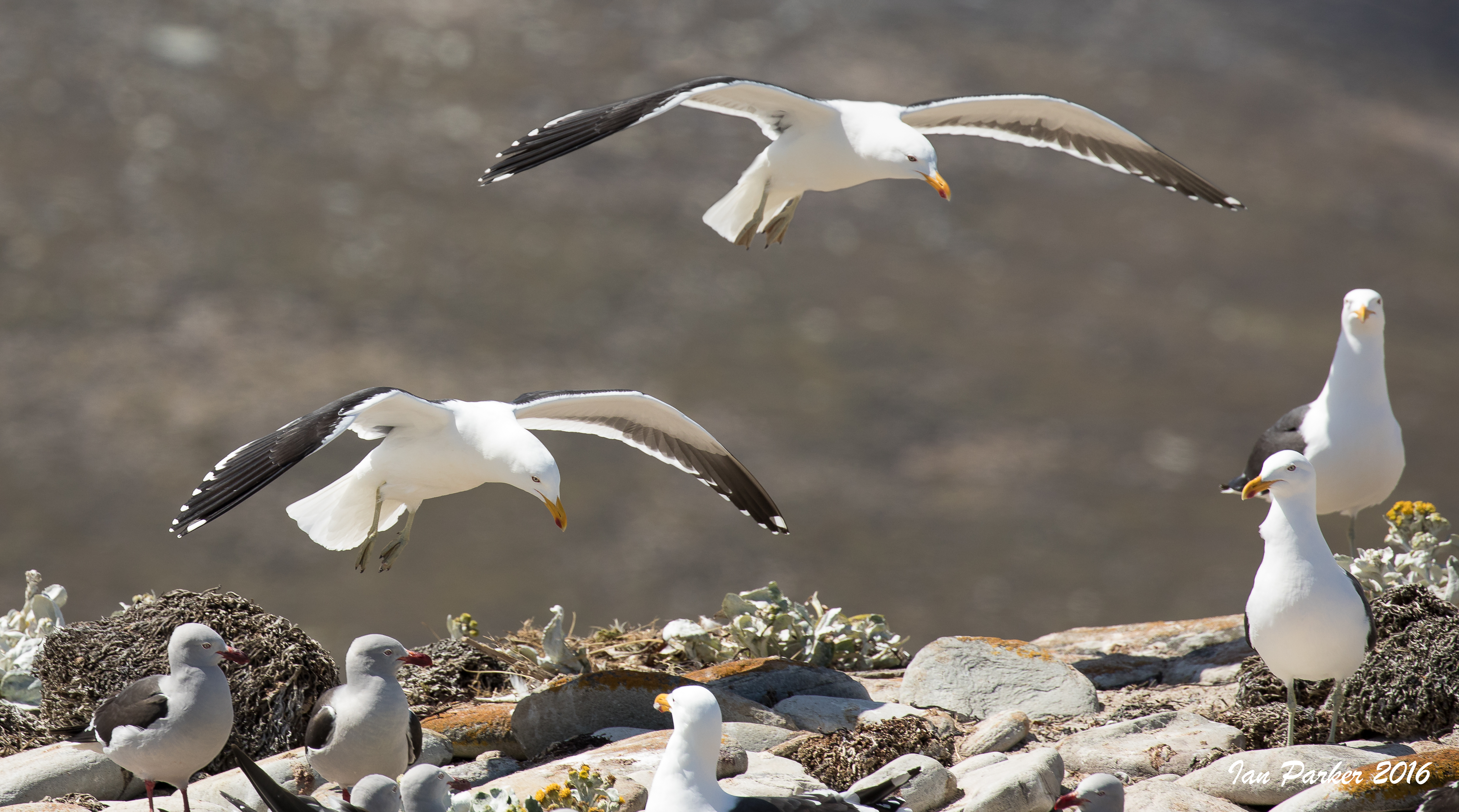
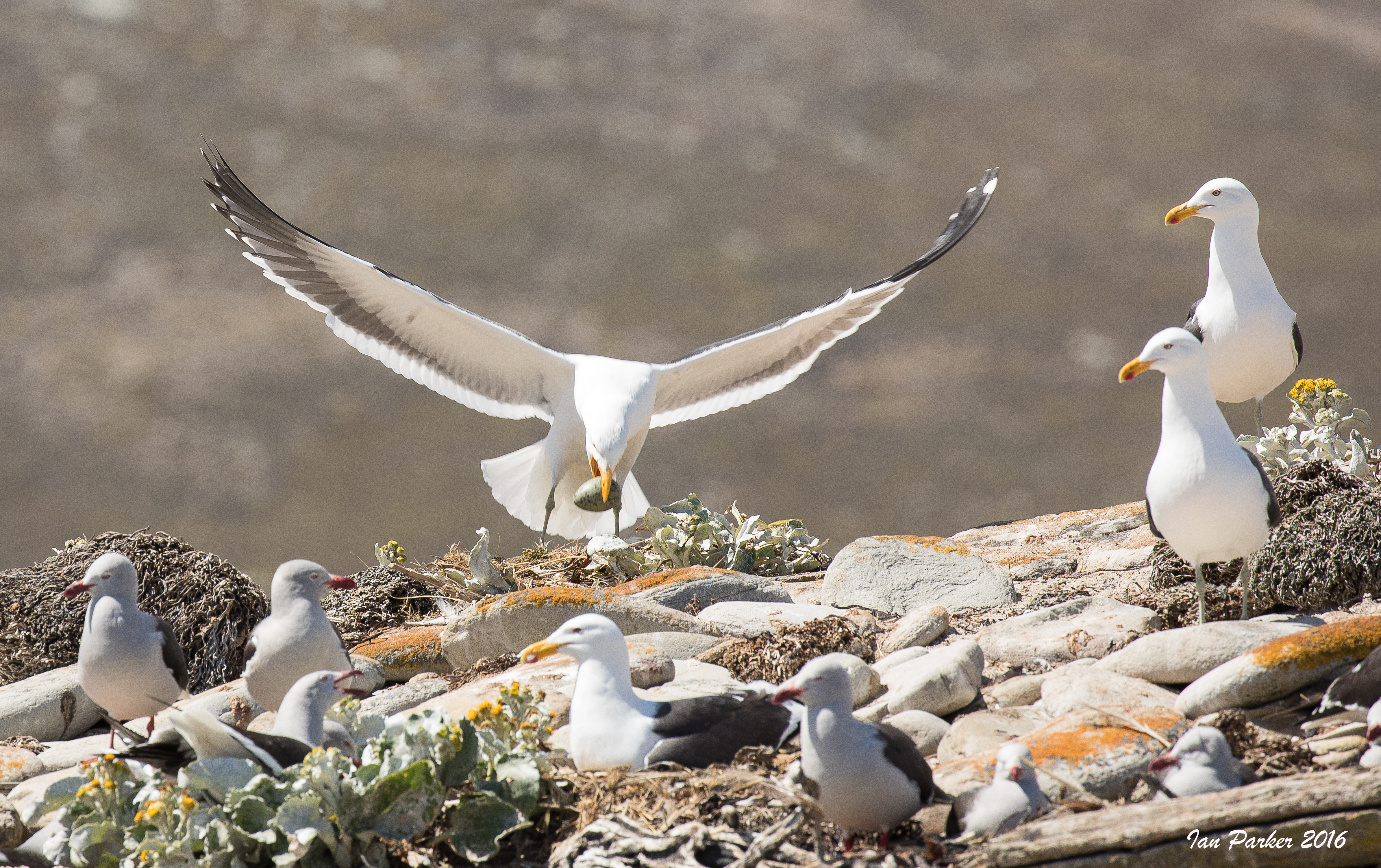
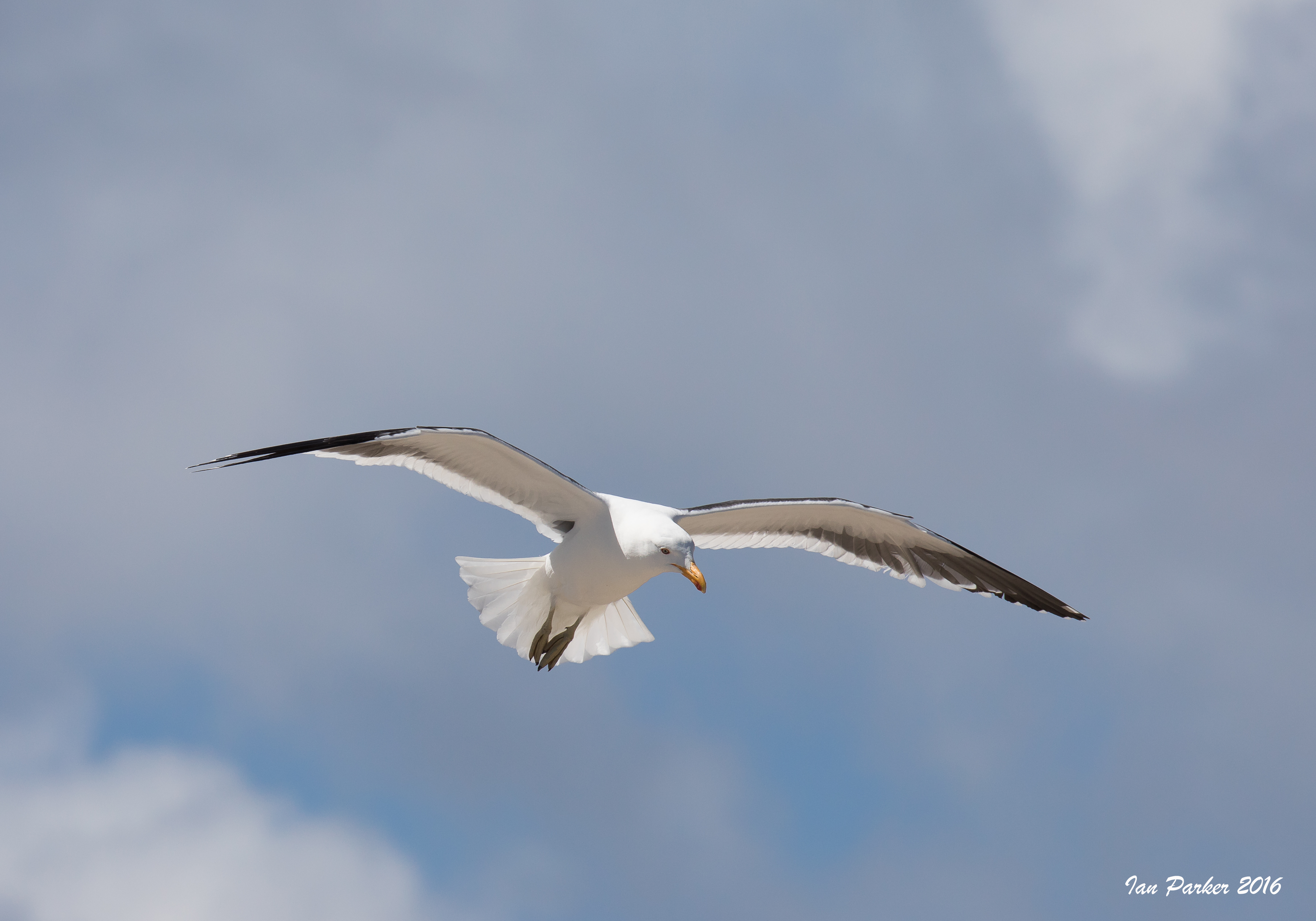
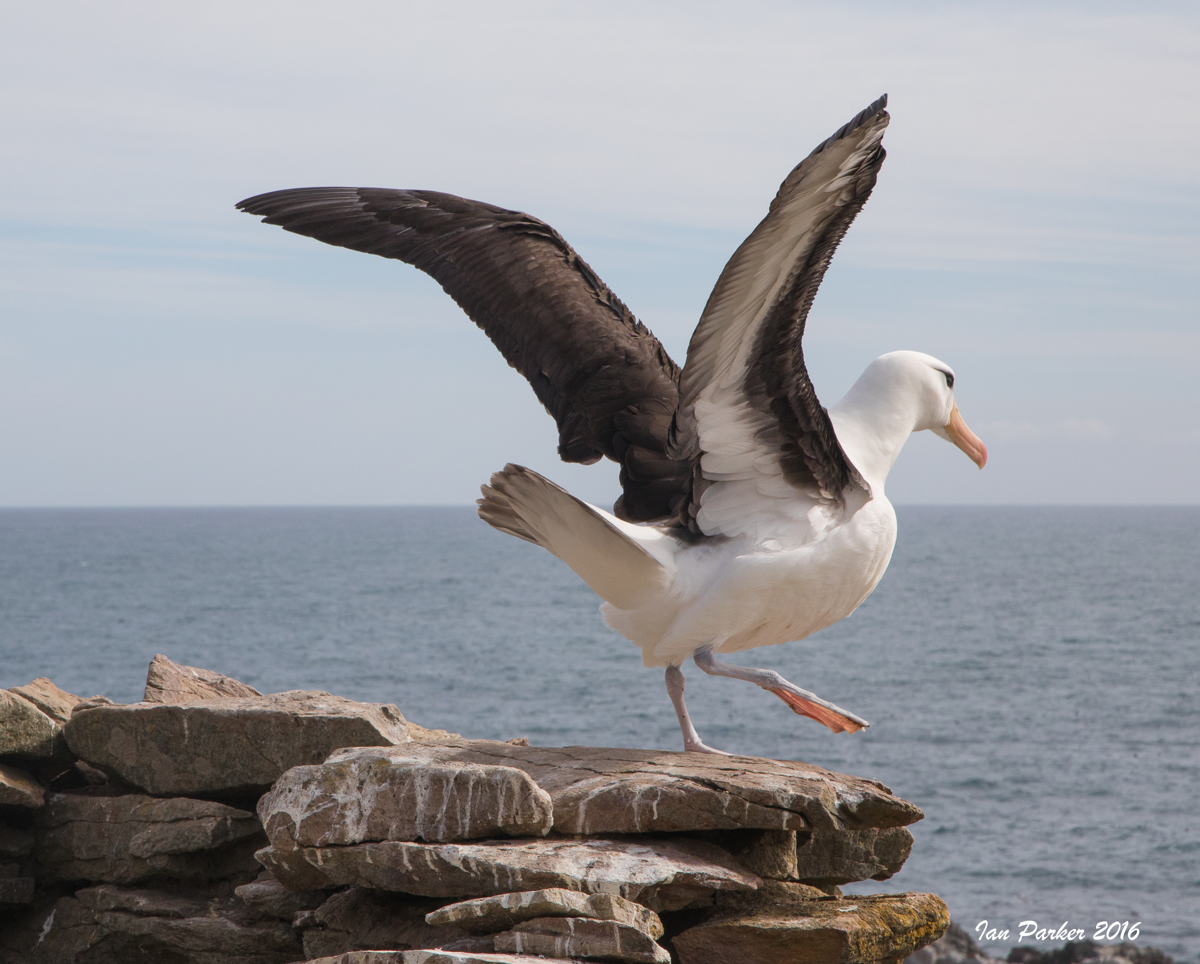
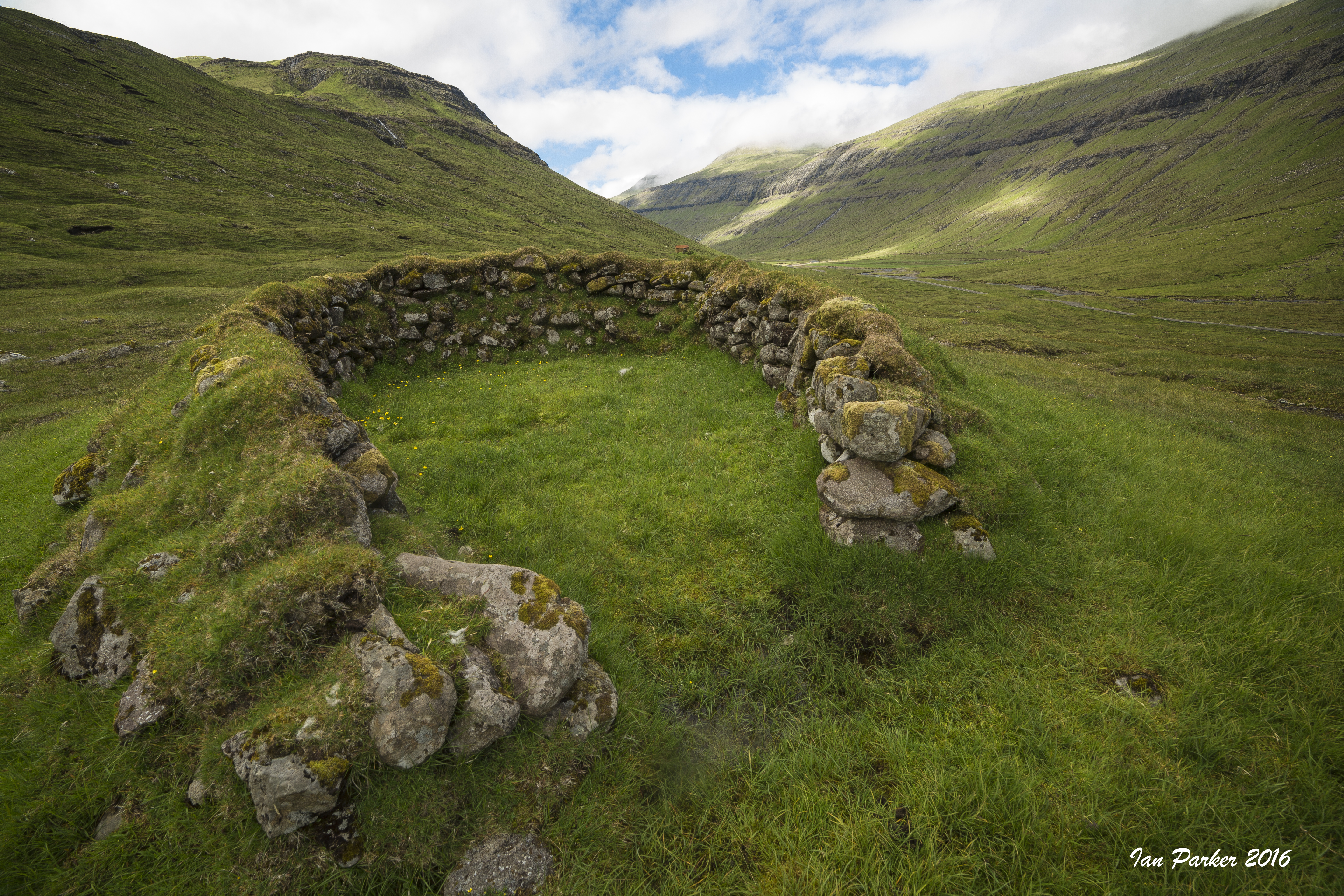
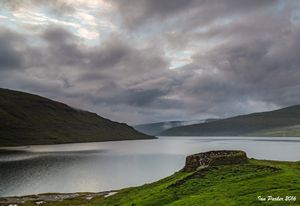
December 11-12 :Grand Jason Island
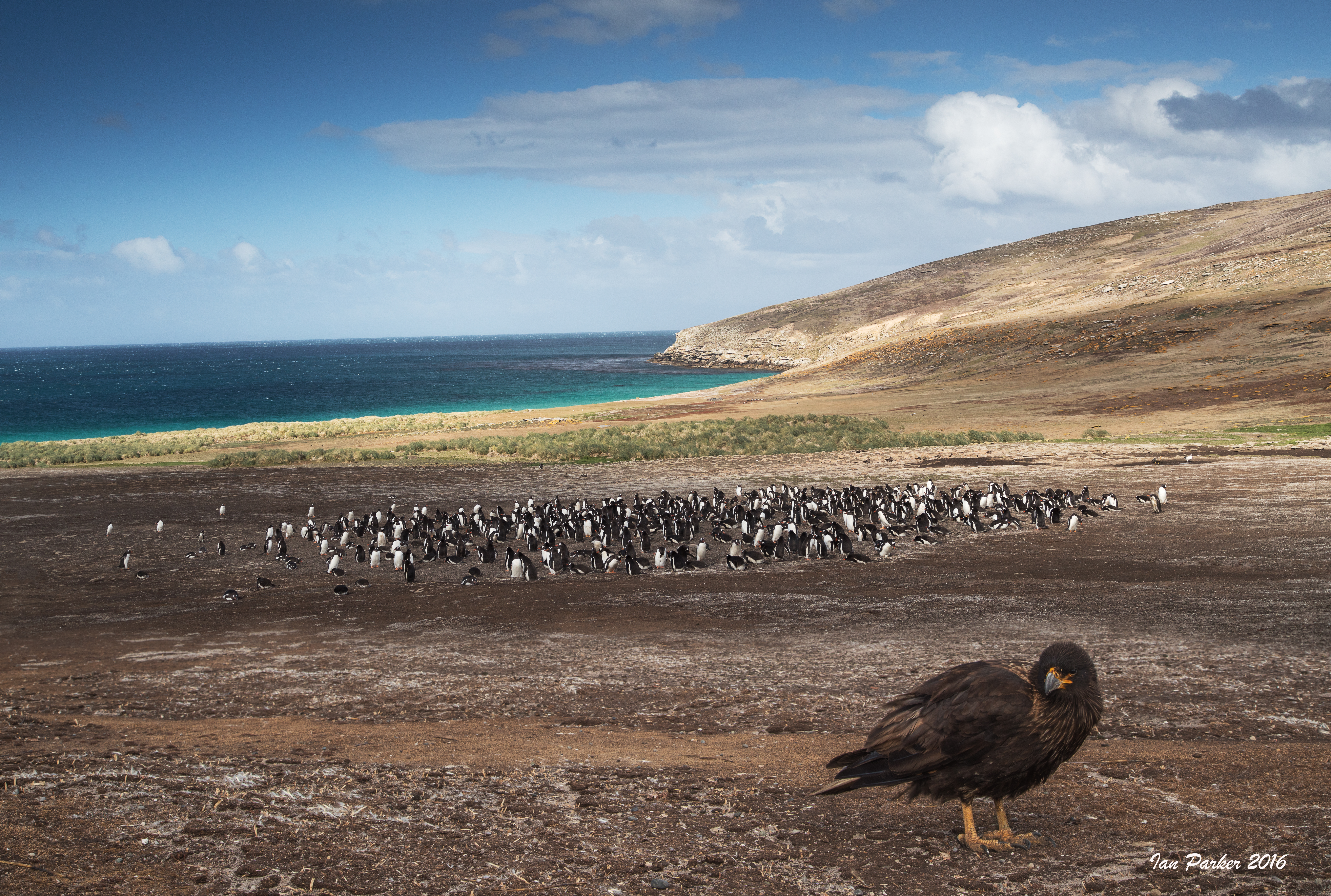
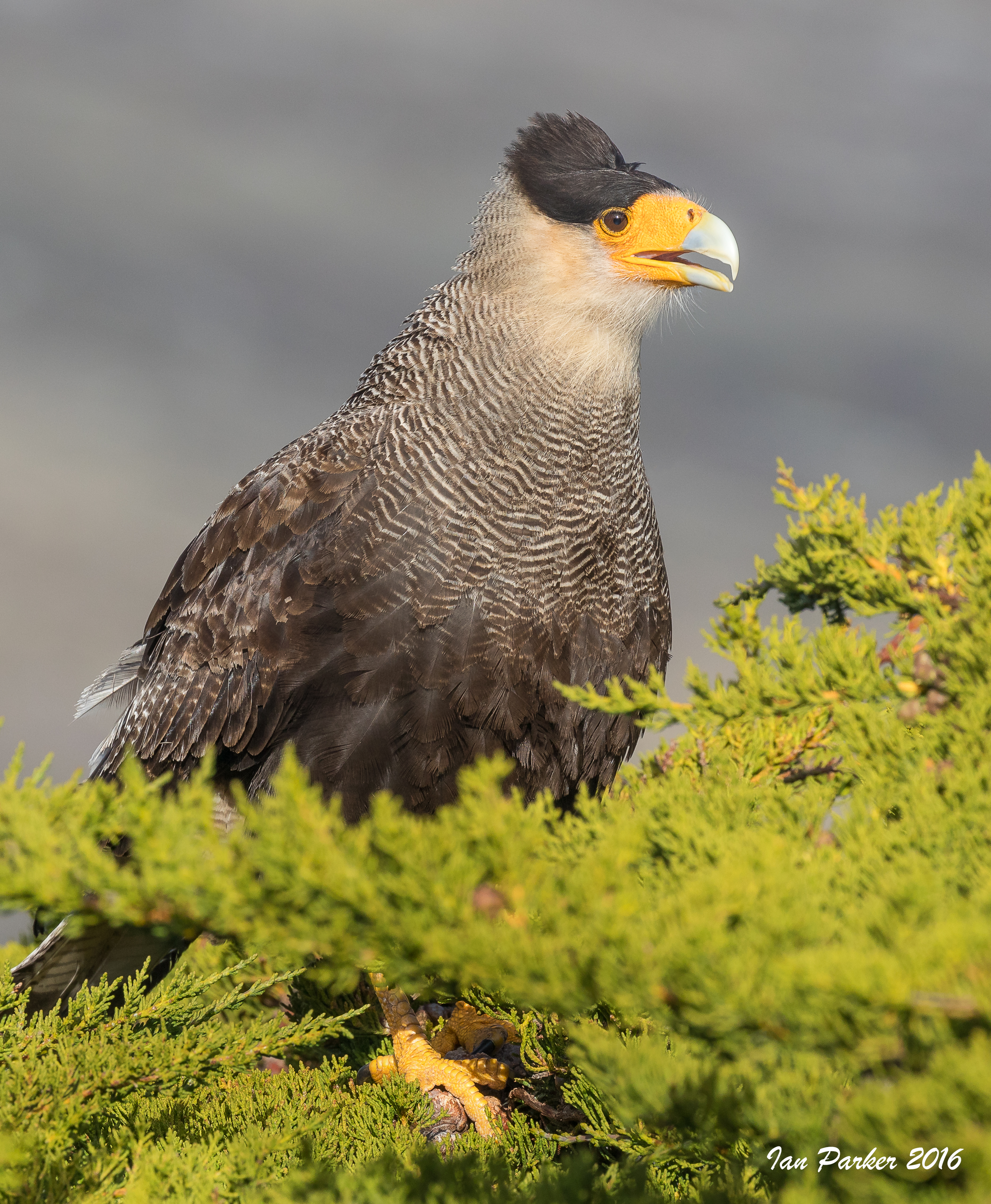
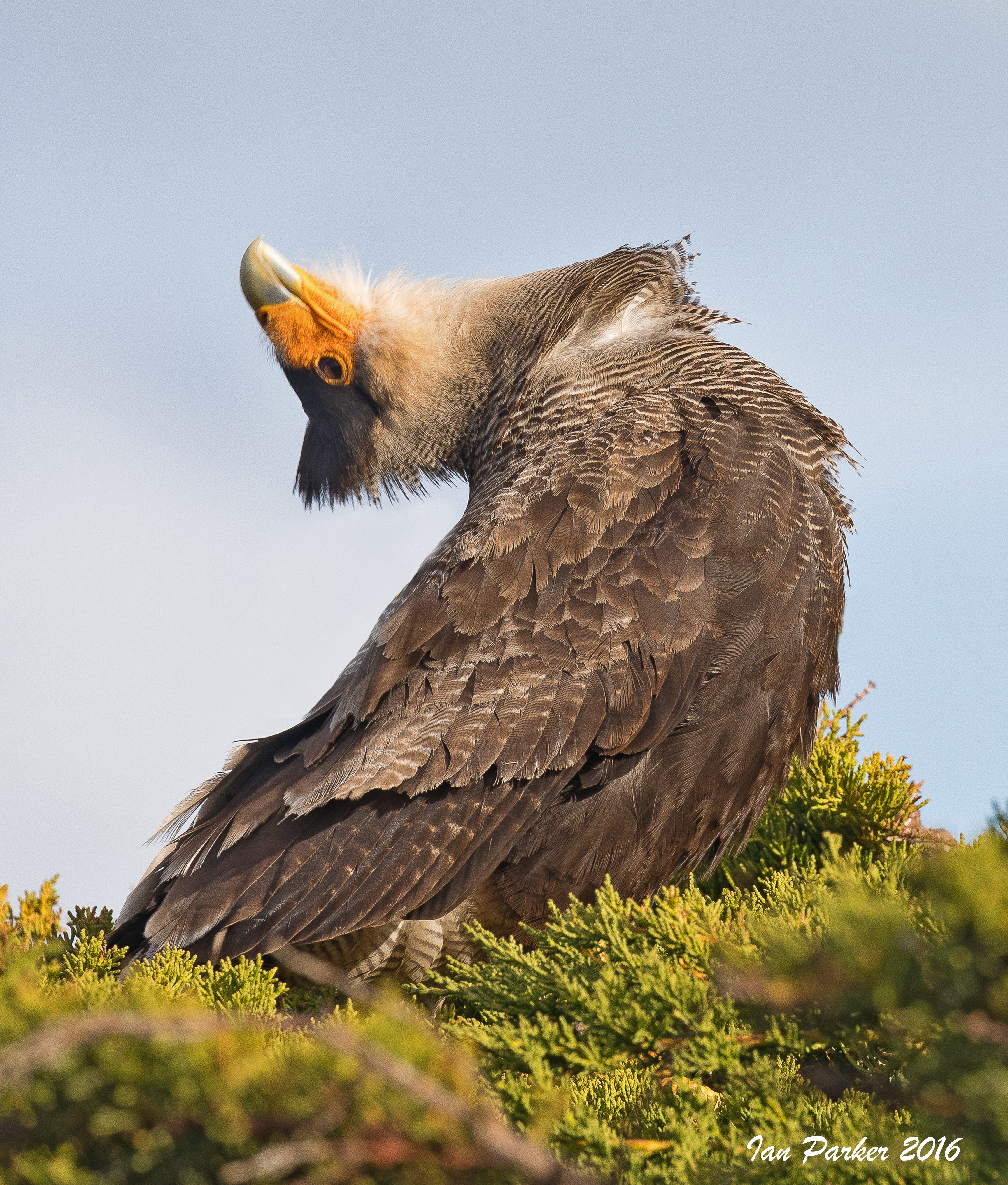
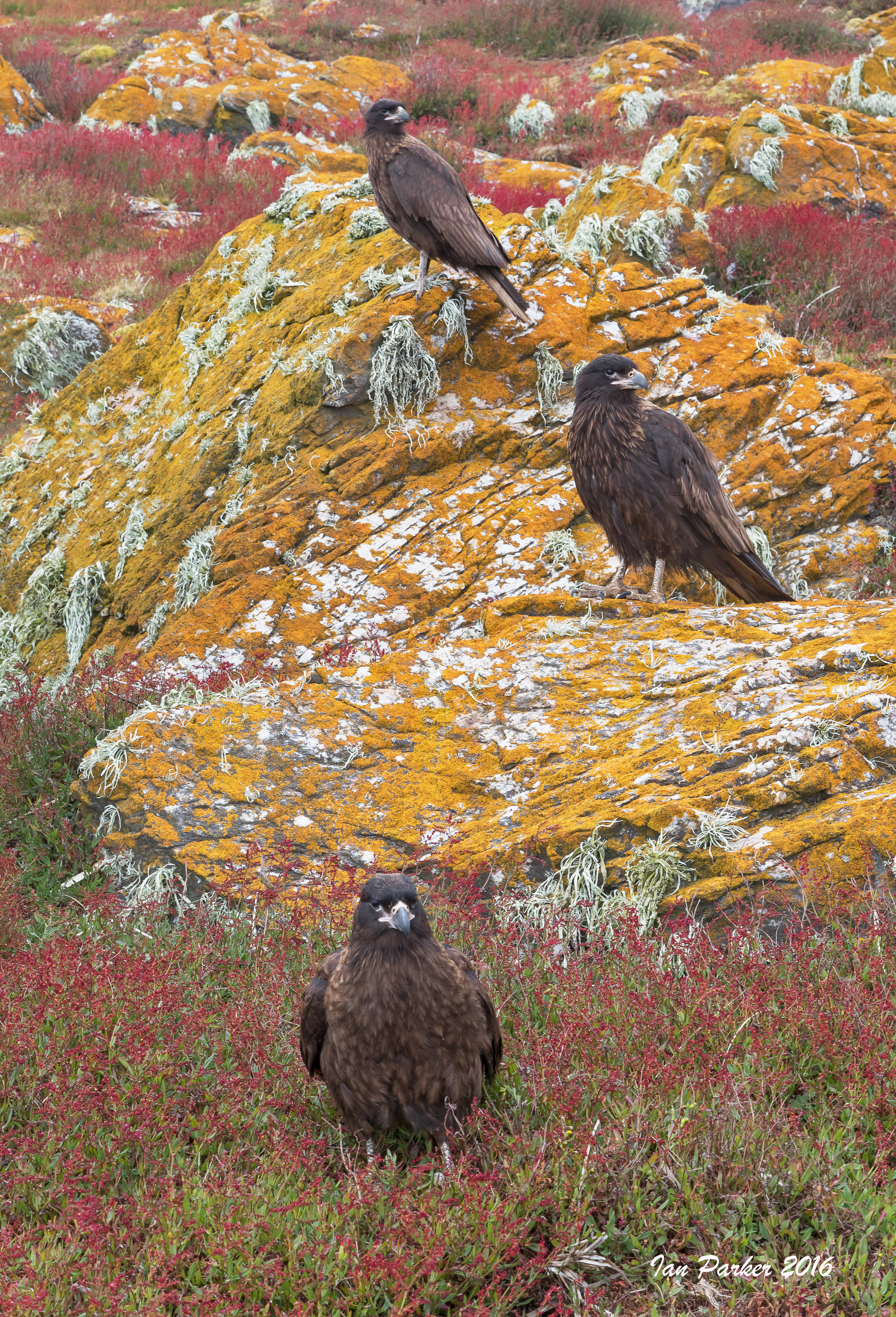
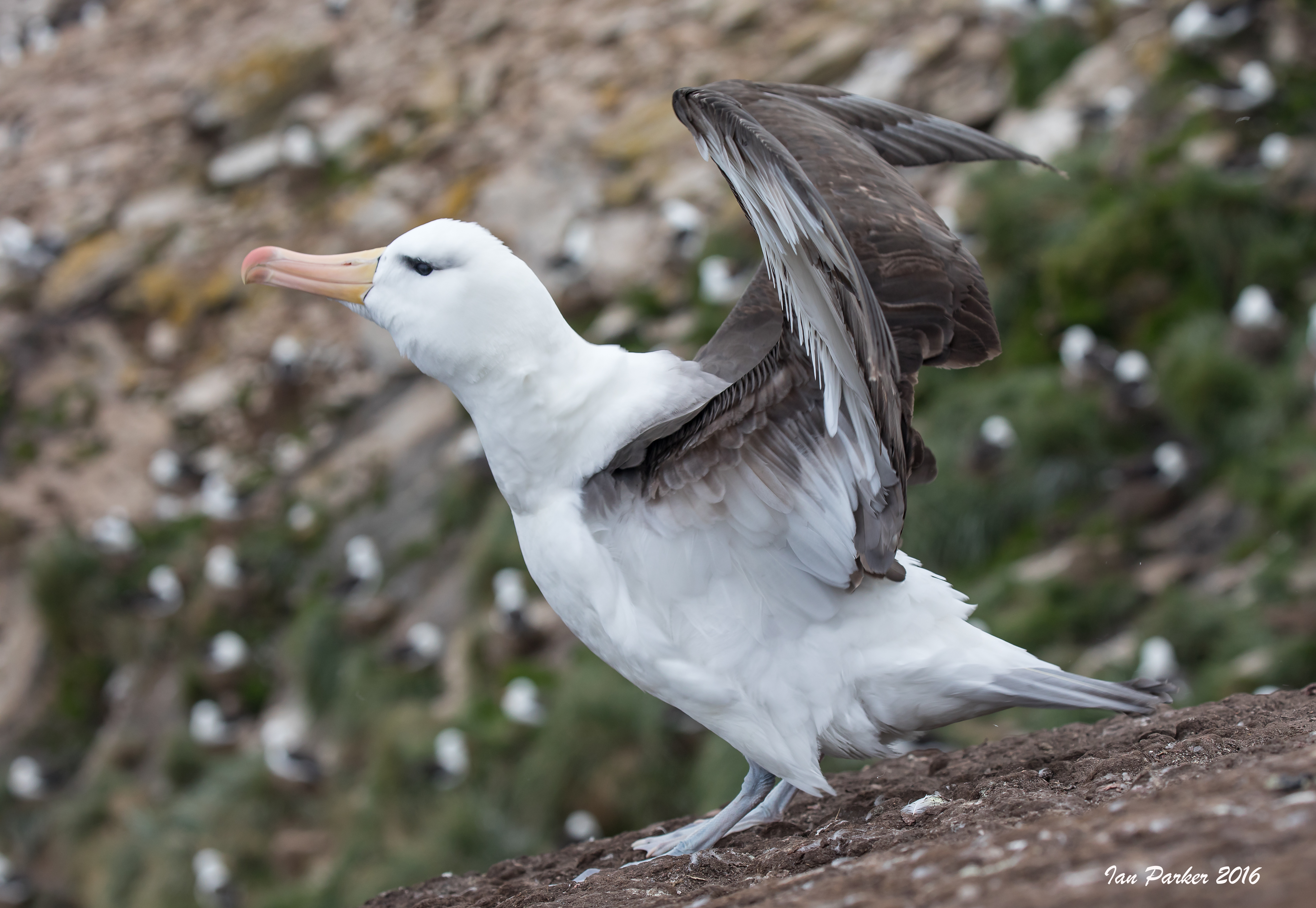
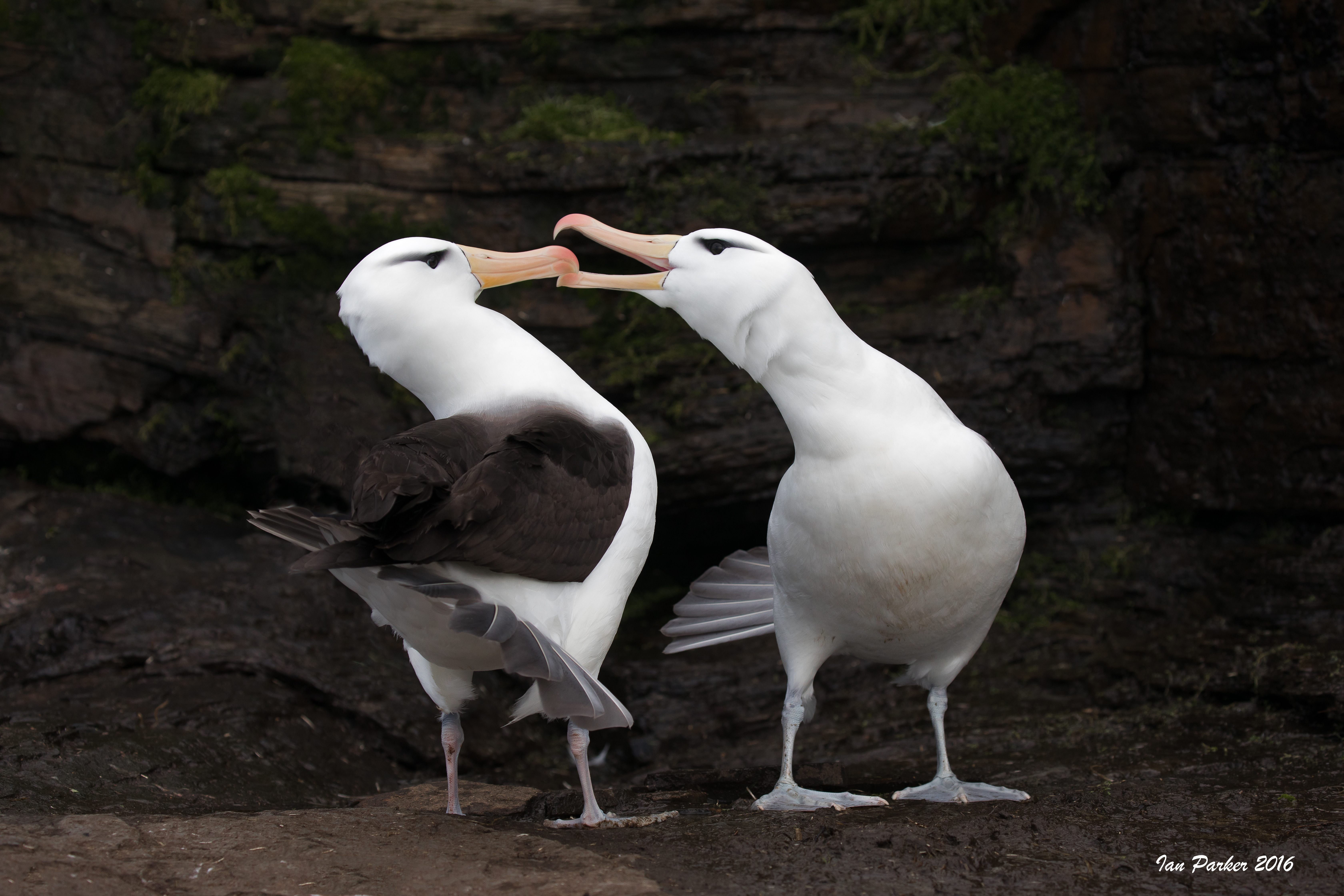
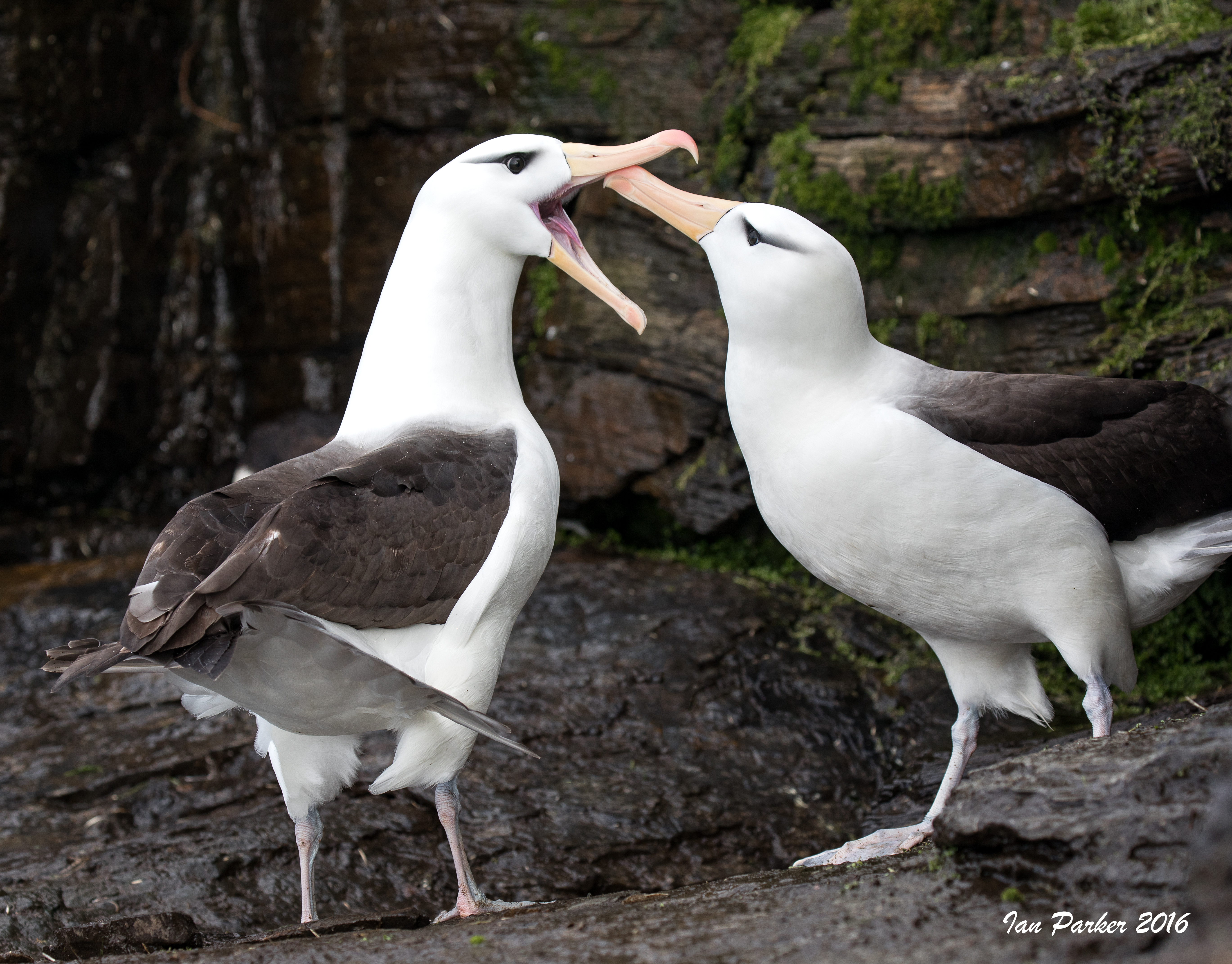
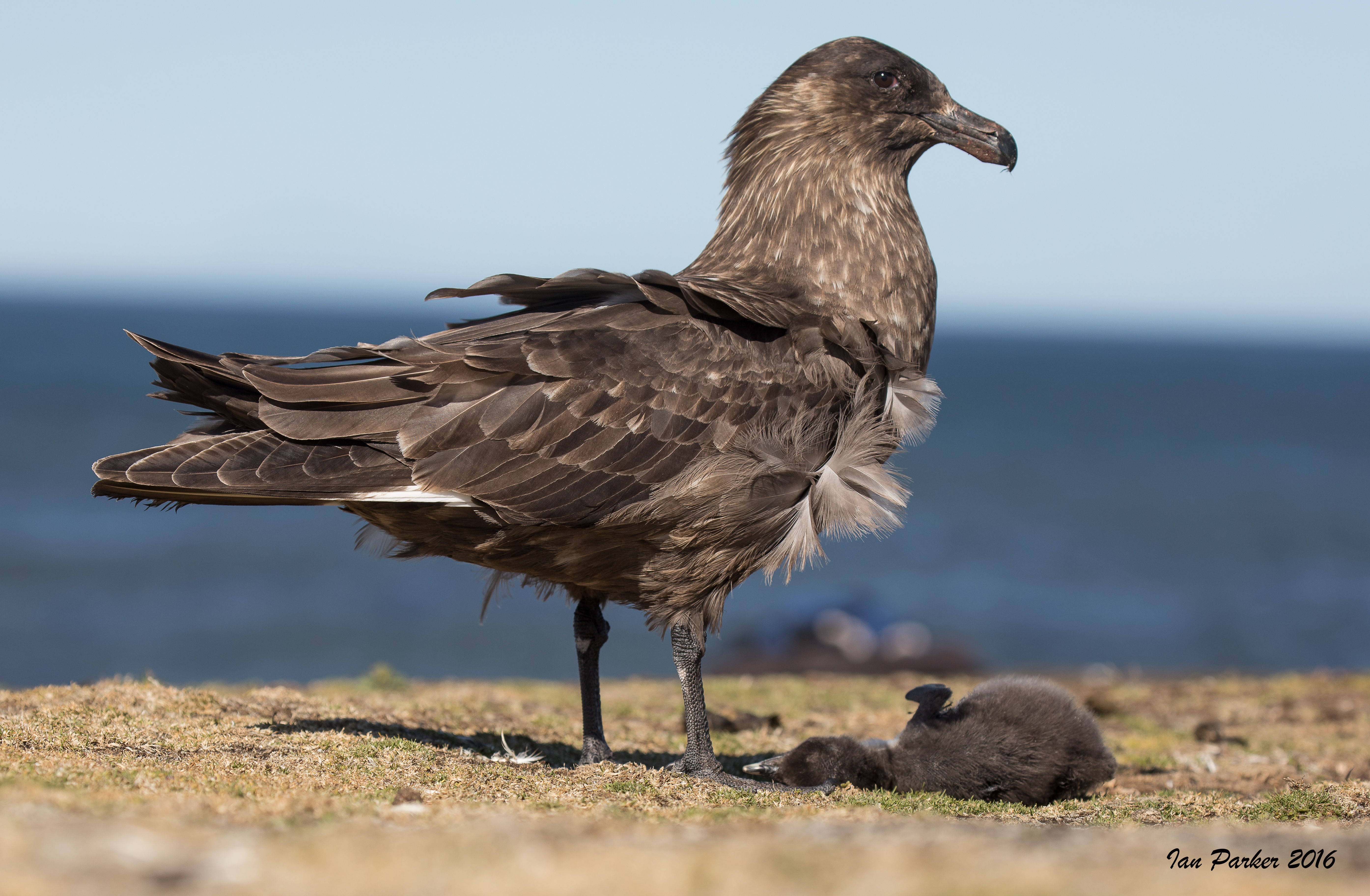
The Jason Island group is a chain of remote islands off West Falkland. Steeple Jason, which rises sharply from the sea, is undoubtedly one of the most dramatic islands in the archipelago. Home to the world’s largest black-browed albatross colony, the area is of significant importance to conservationists. Large numbers of Striated caracara, Falkland Skuas and Southern Giant Petrels also breed here. The entire group of islands are either privately owned nature reserves or government owned National Nature reserves and there is no smoking permitted anywhere on the islands. Unpredictable weather and strong tidal currents make landings difficult.
A morning landing at the seal lion beach on Grand Jason
Afternoon landing on Grand Jason to visit the albatross/rockhopper/shag colony above the rocky foreshore. Some smaller birds among the rock pools to start.
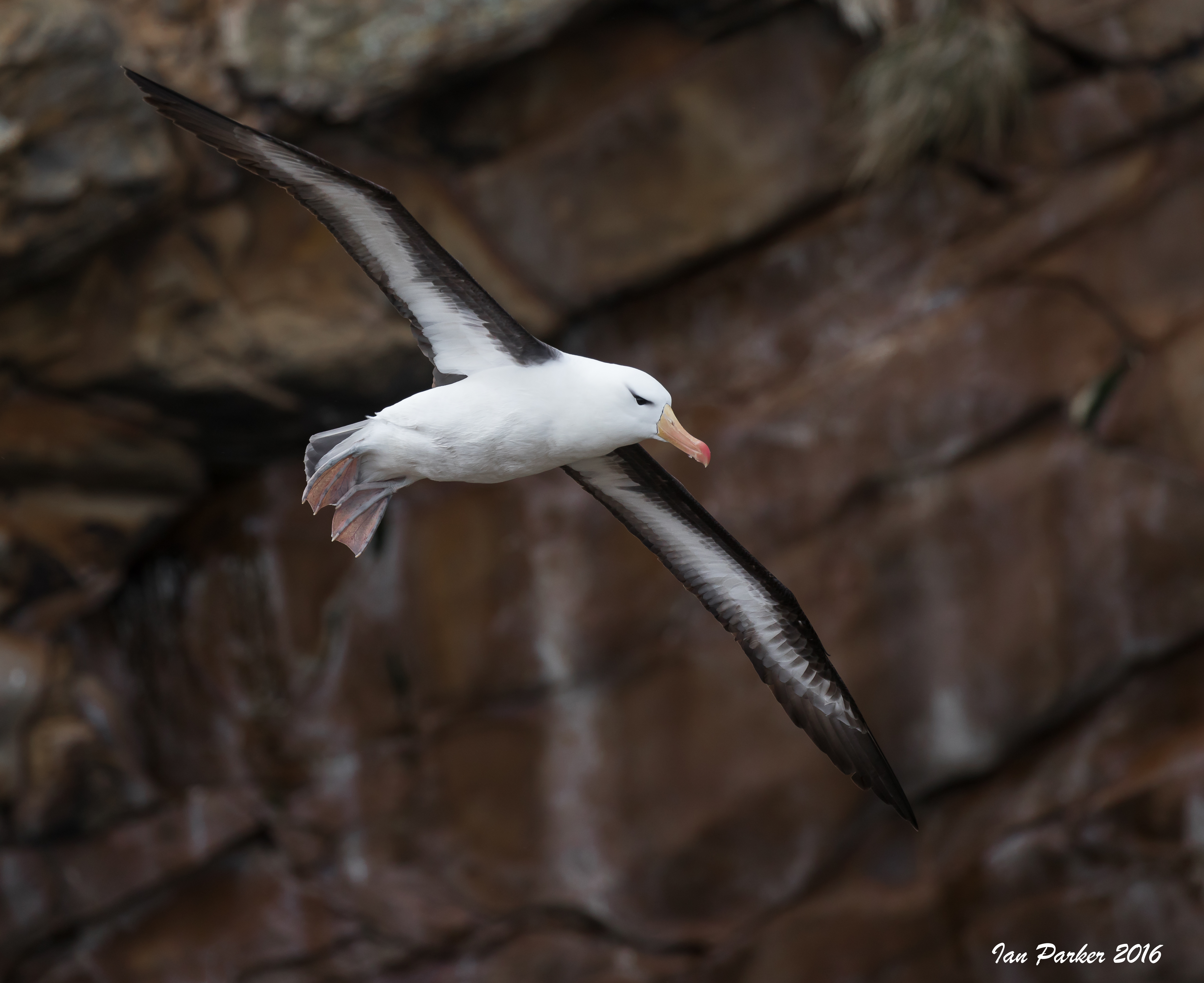
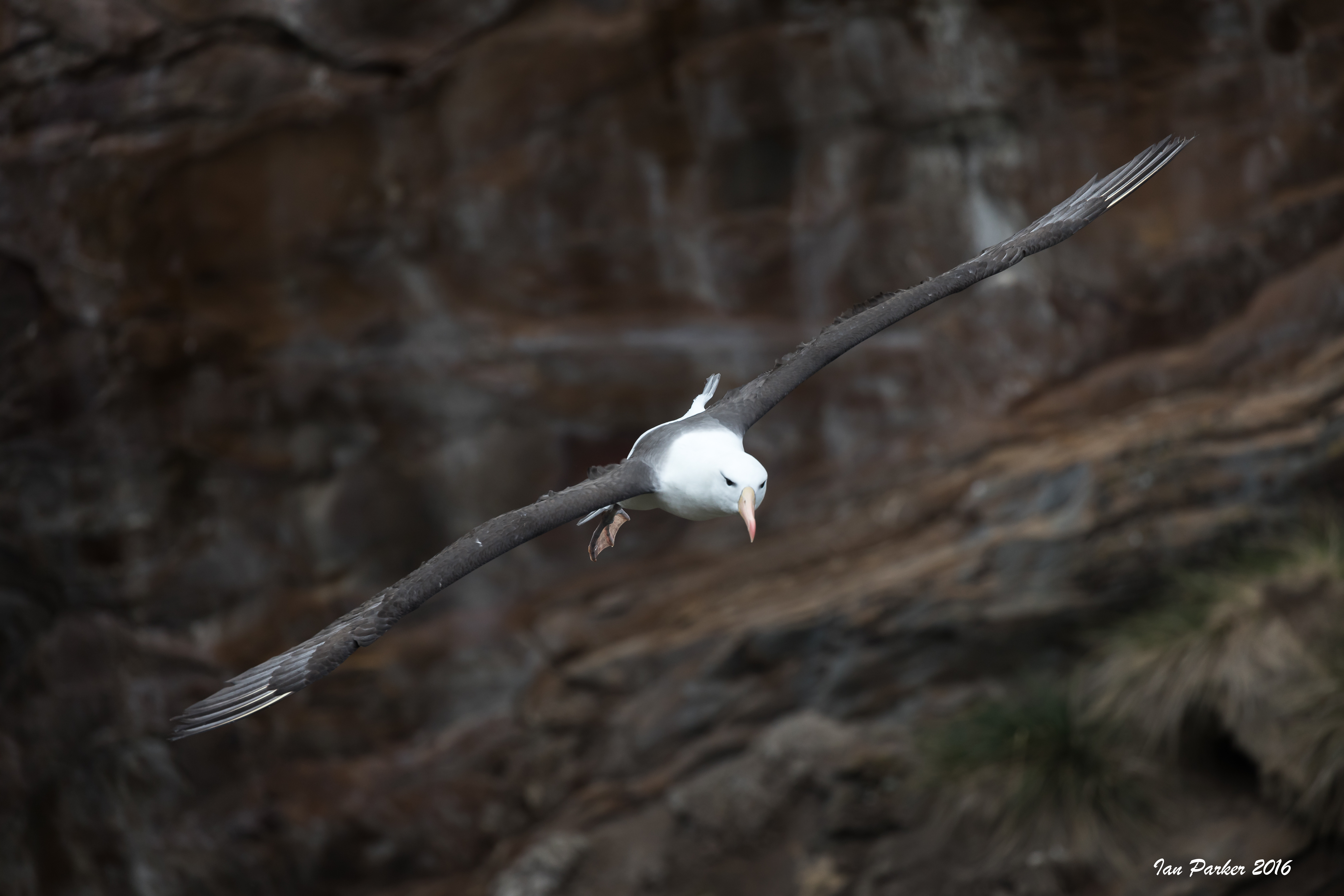
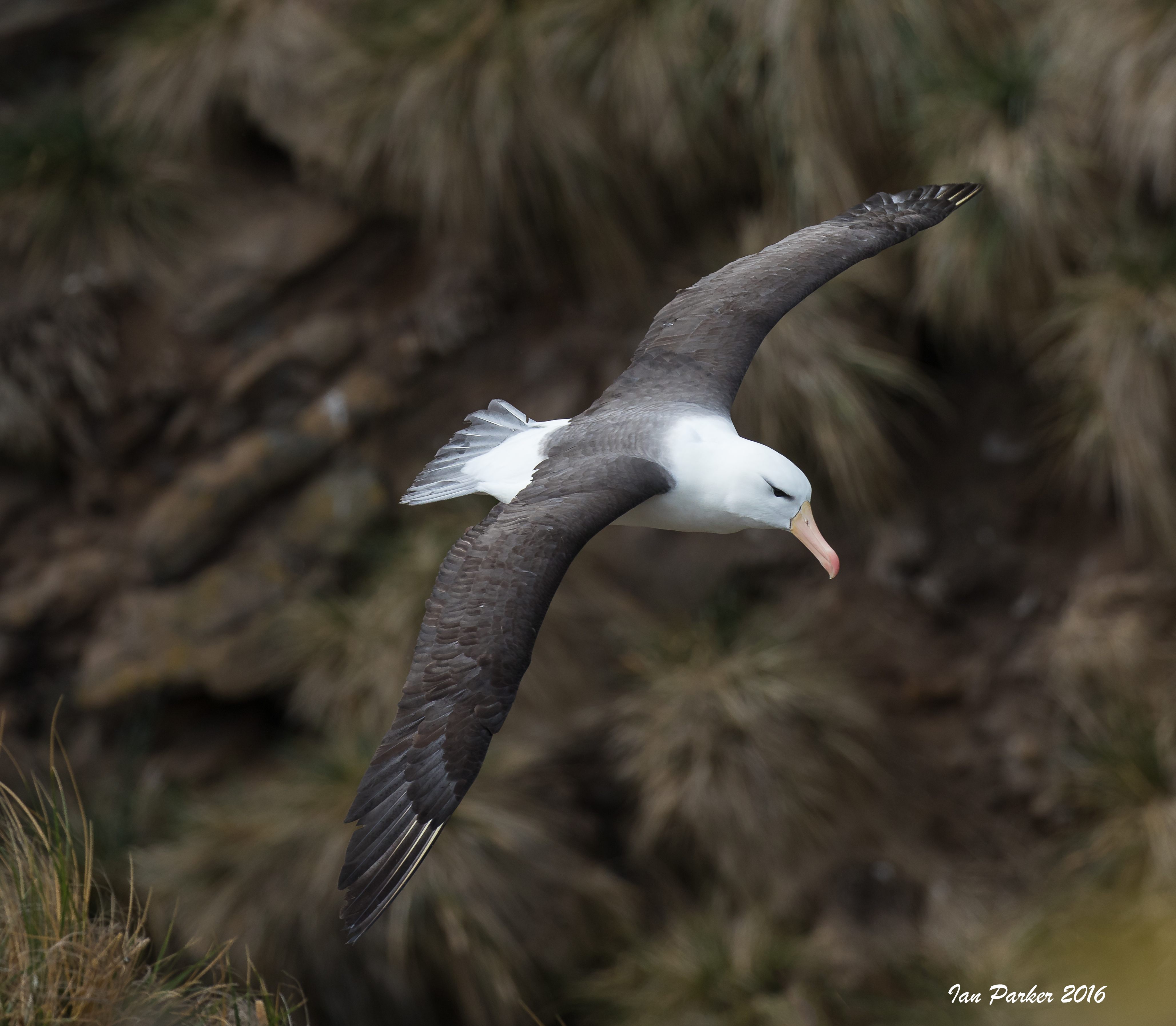
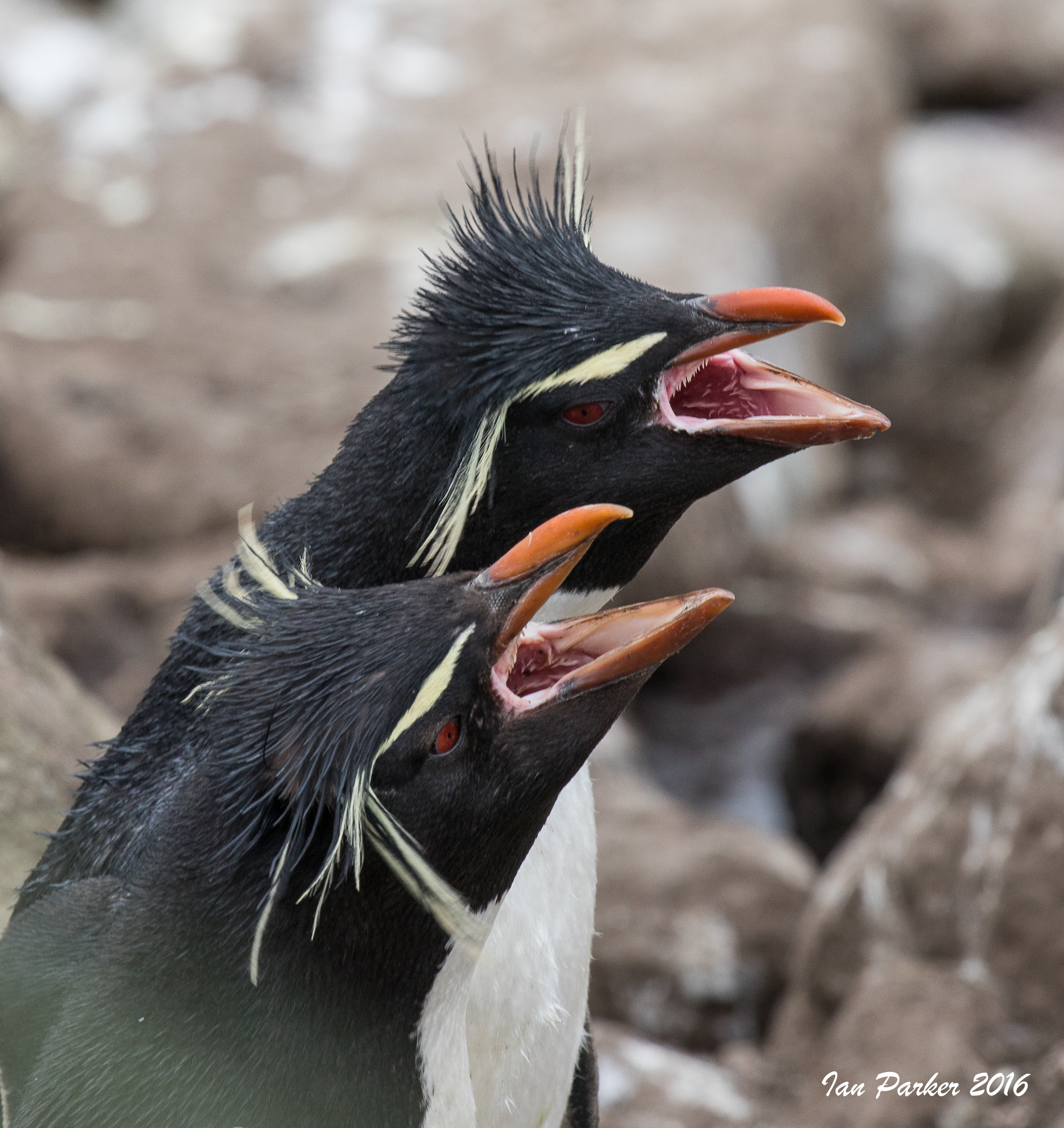
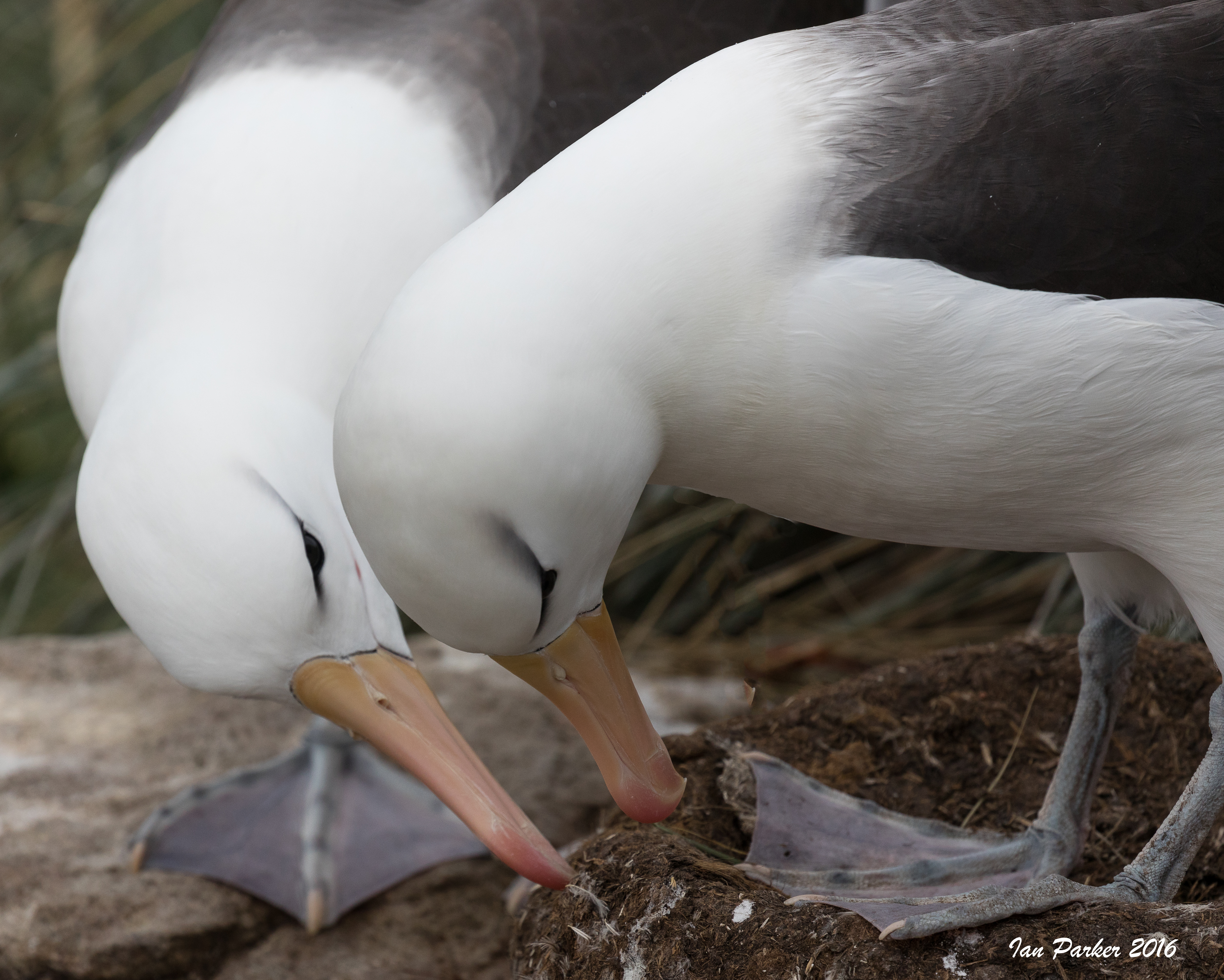
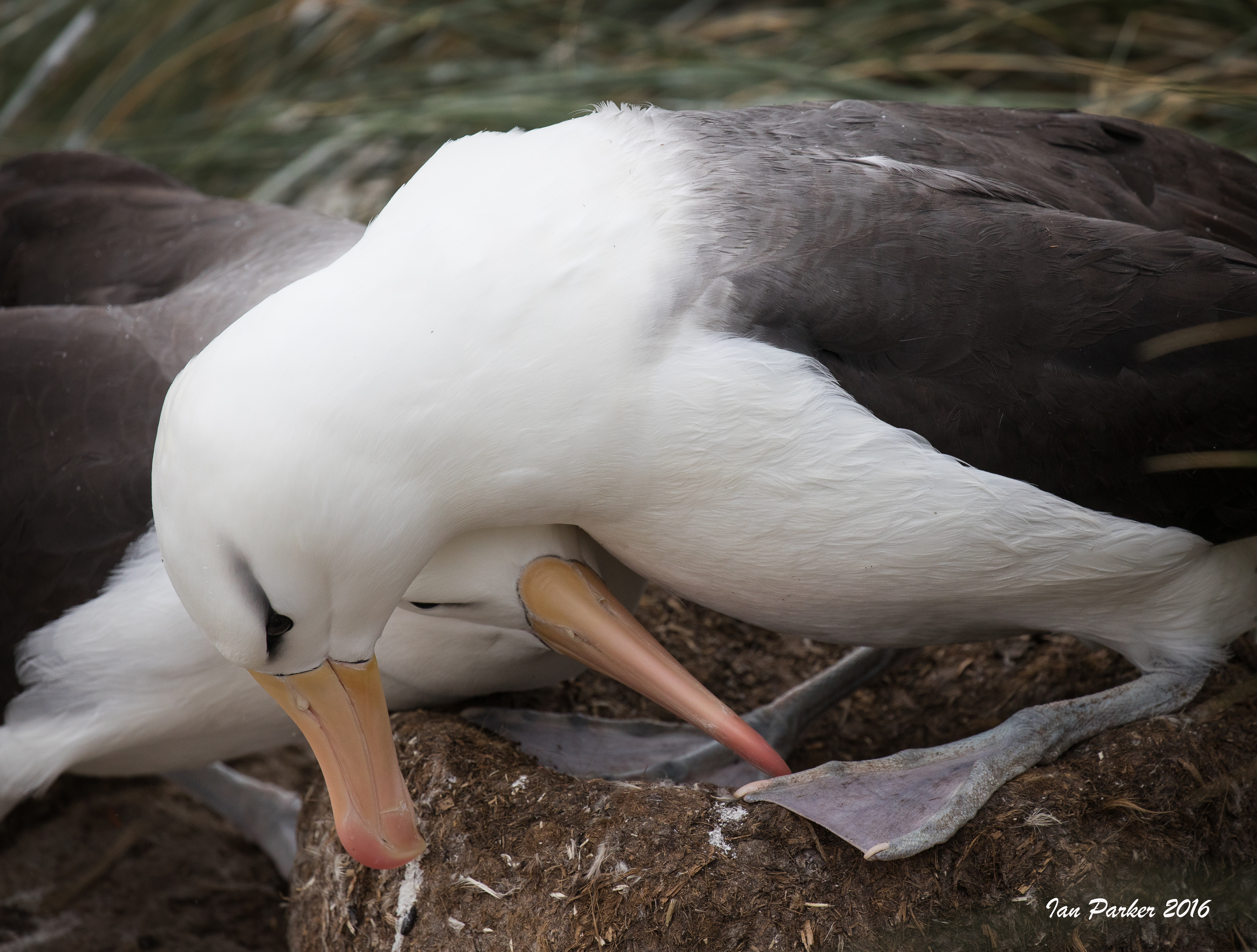
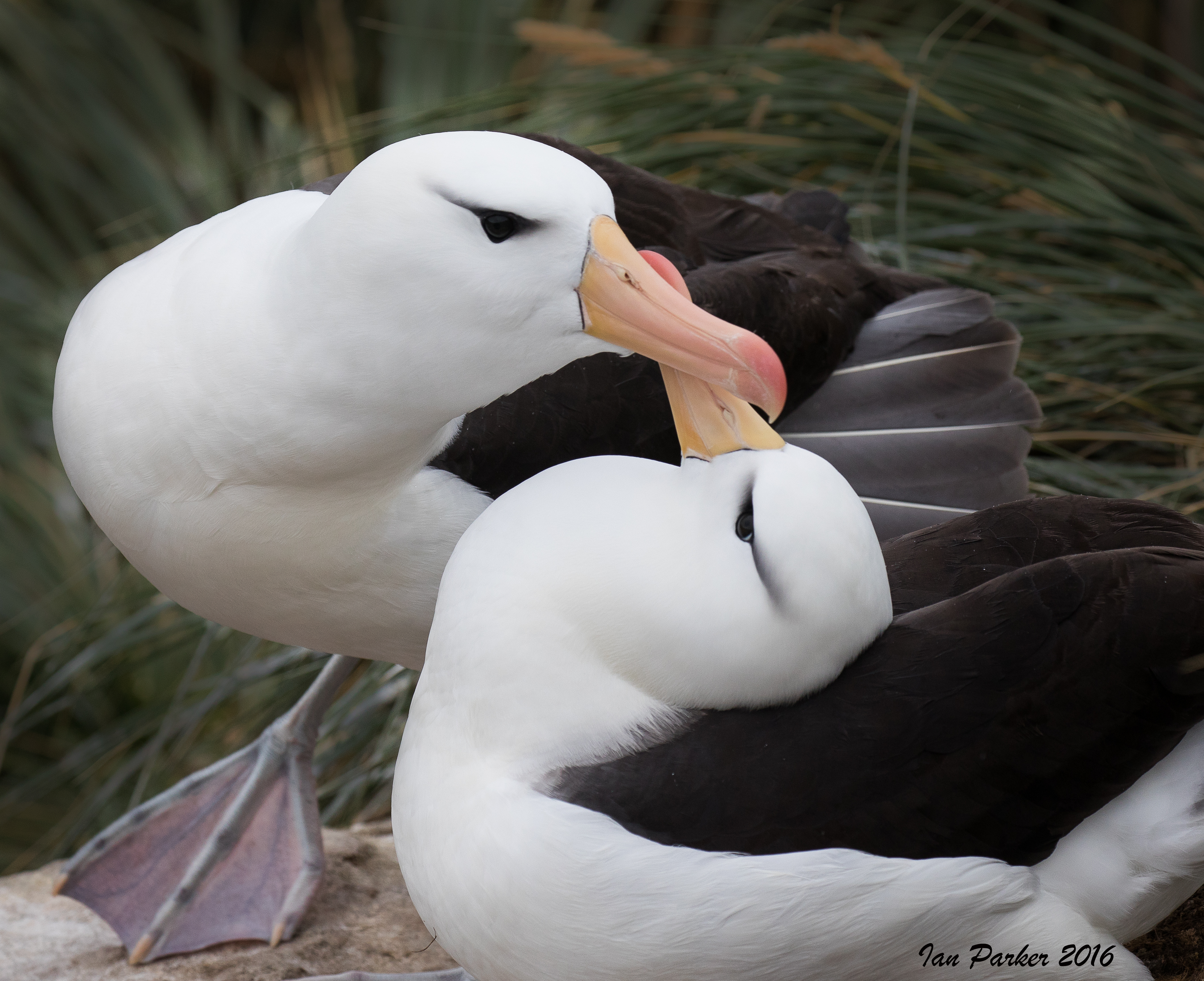
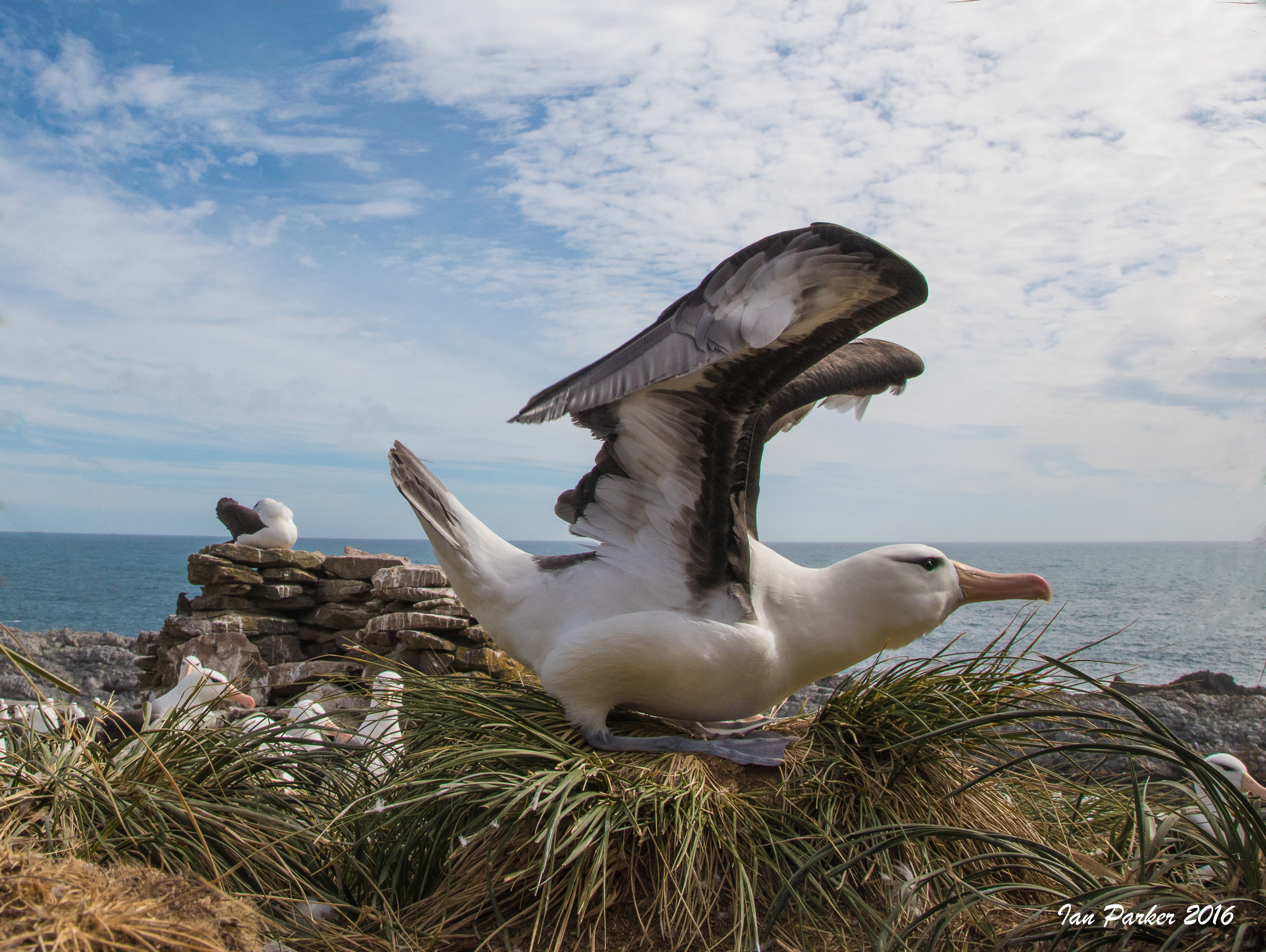
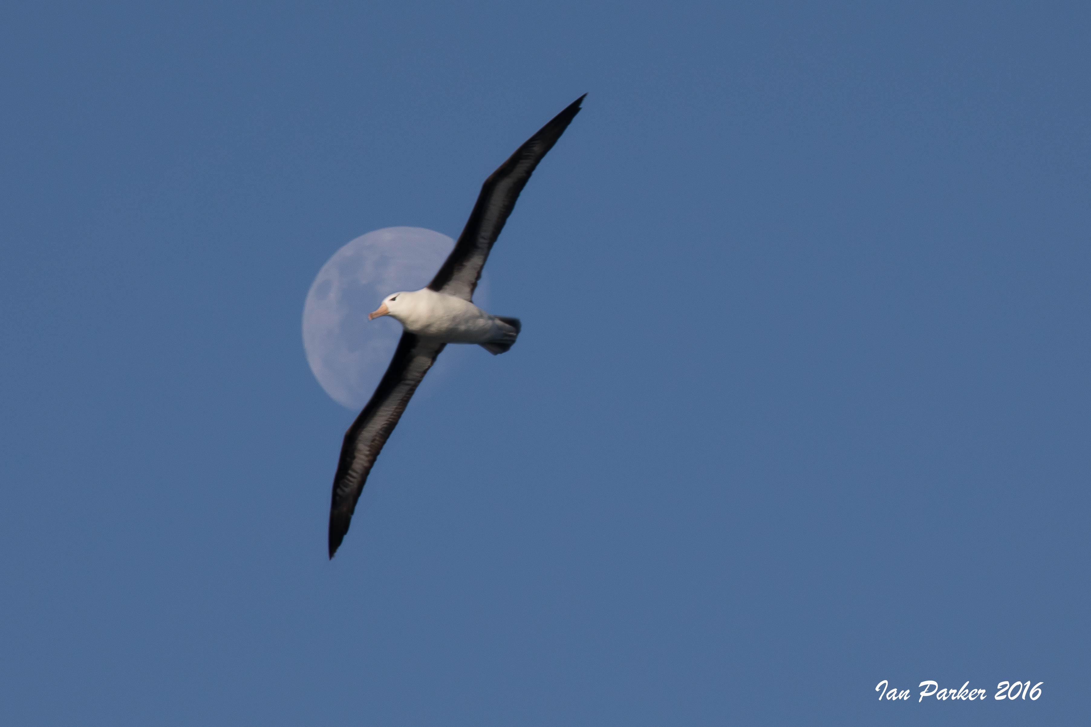
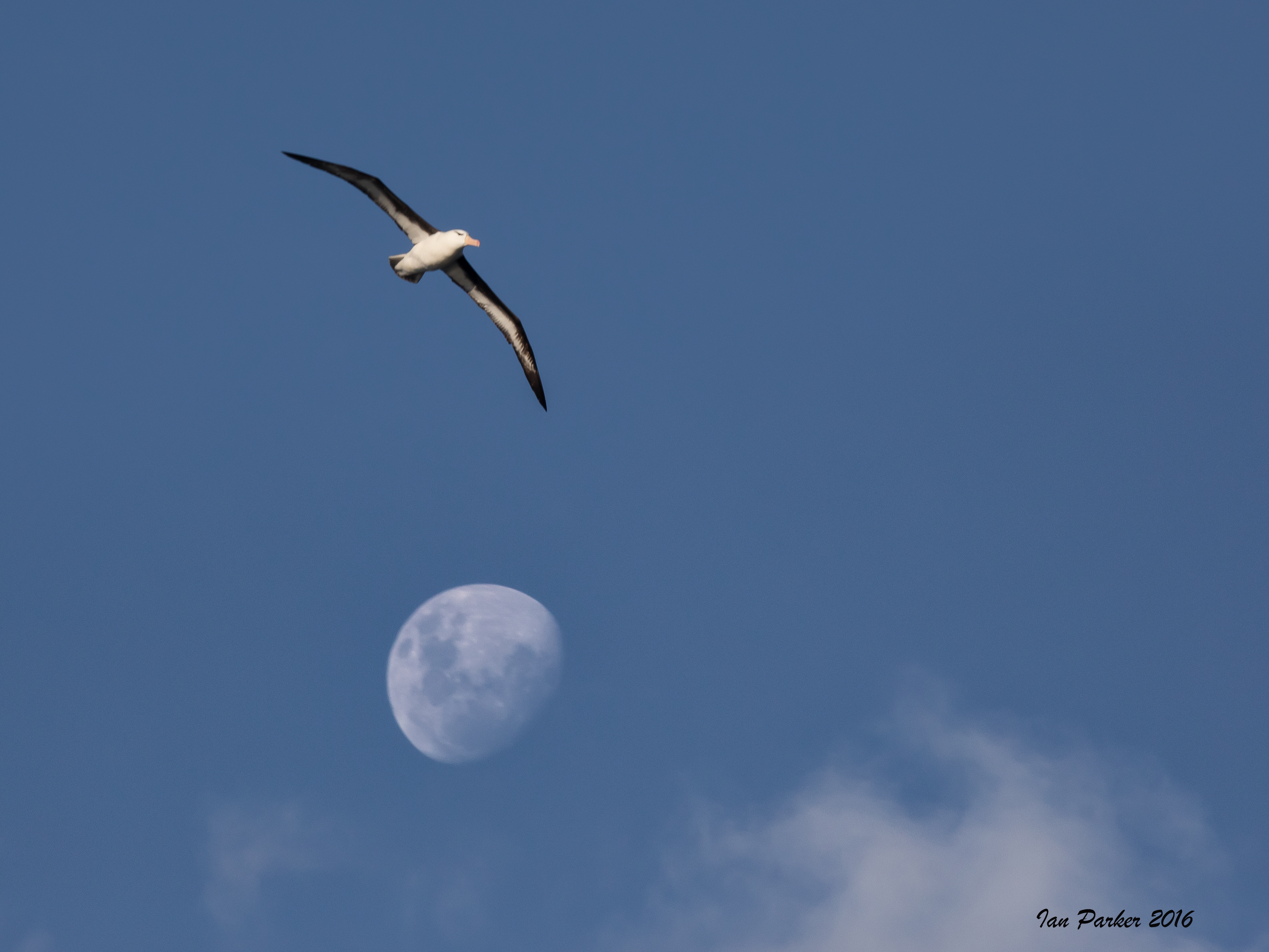
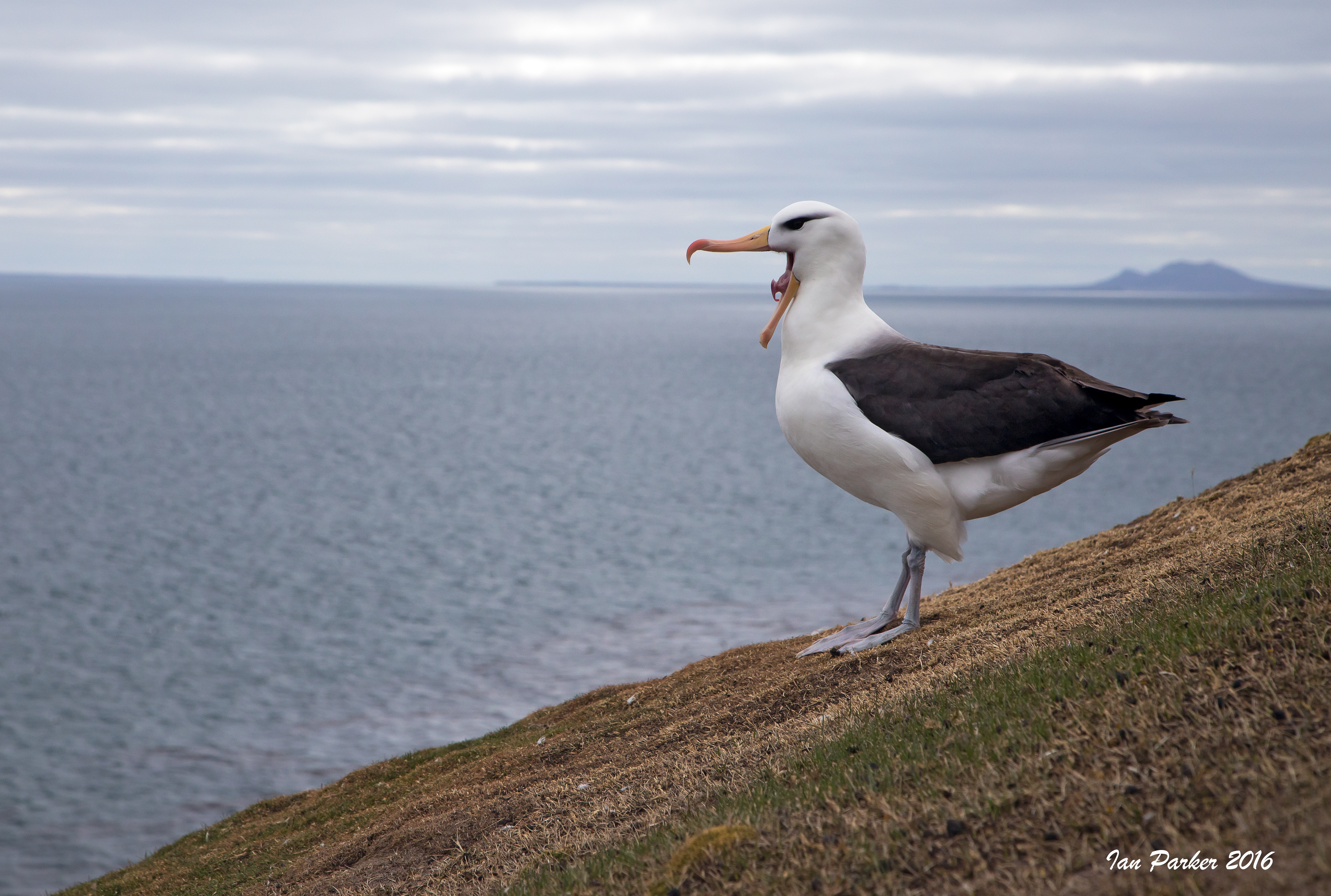
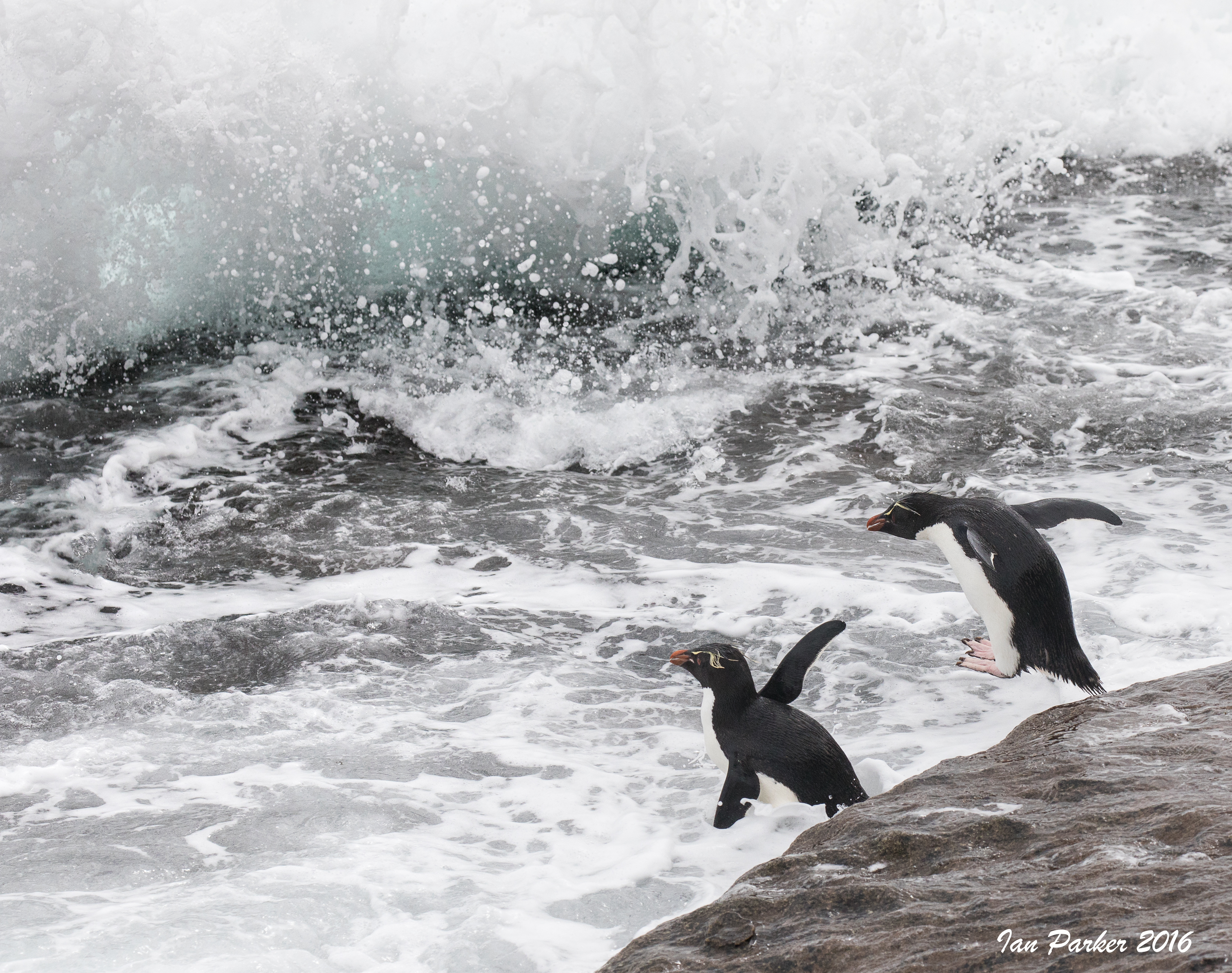
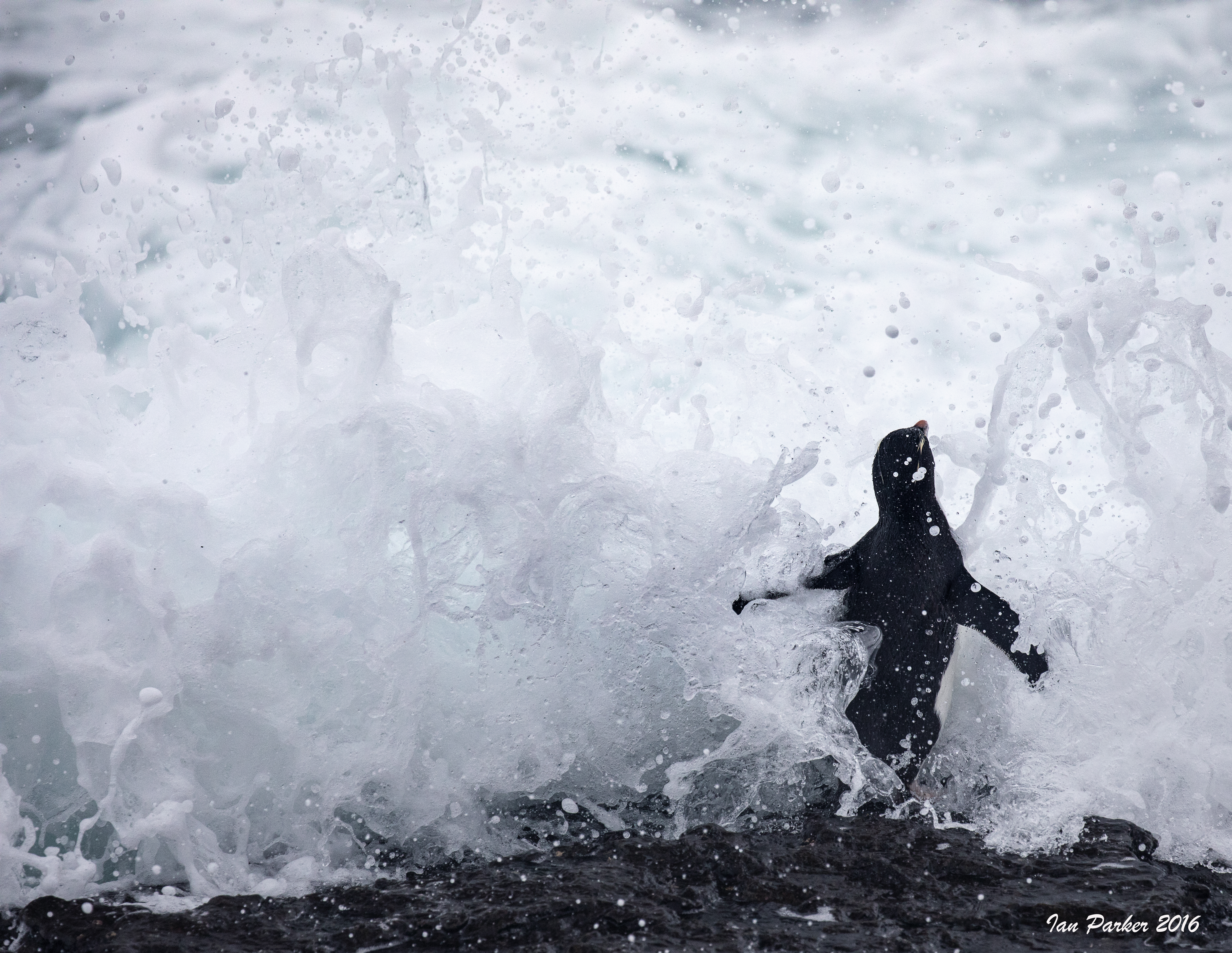
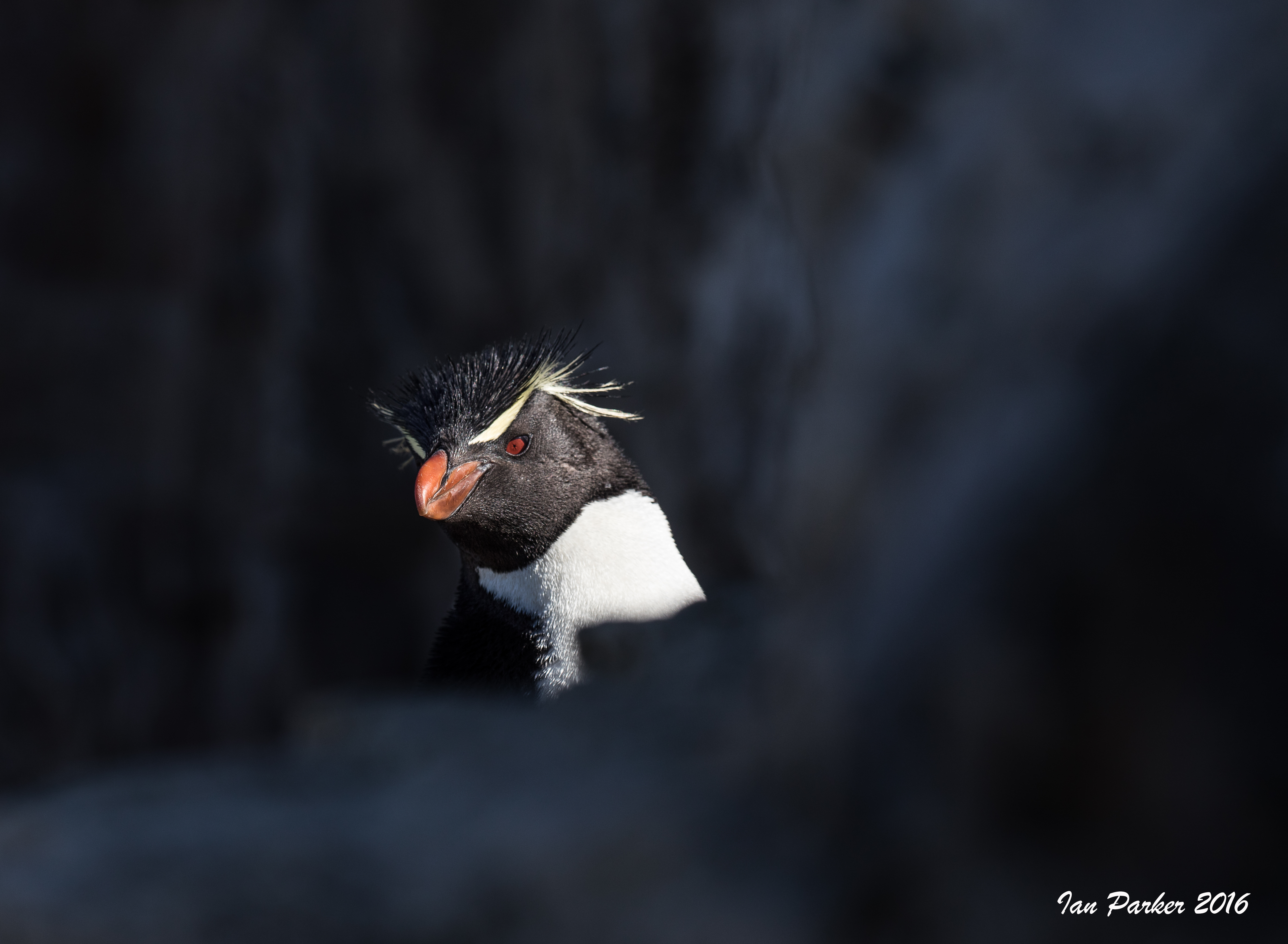
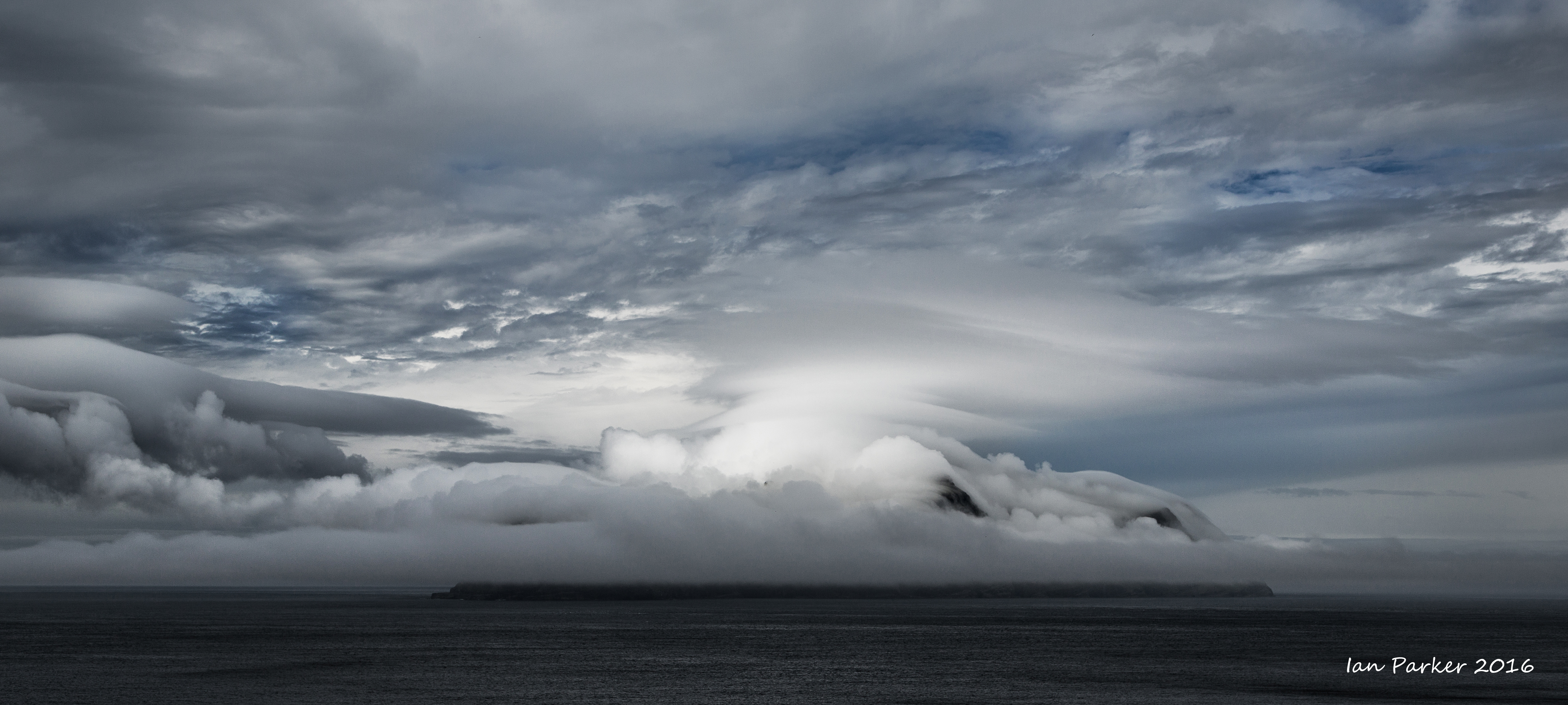
December 13: Steeple Jason
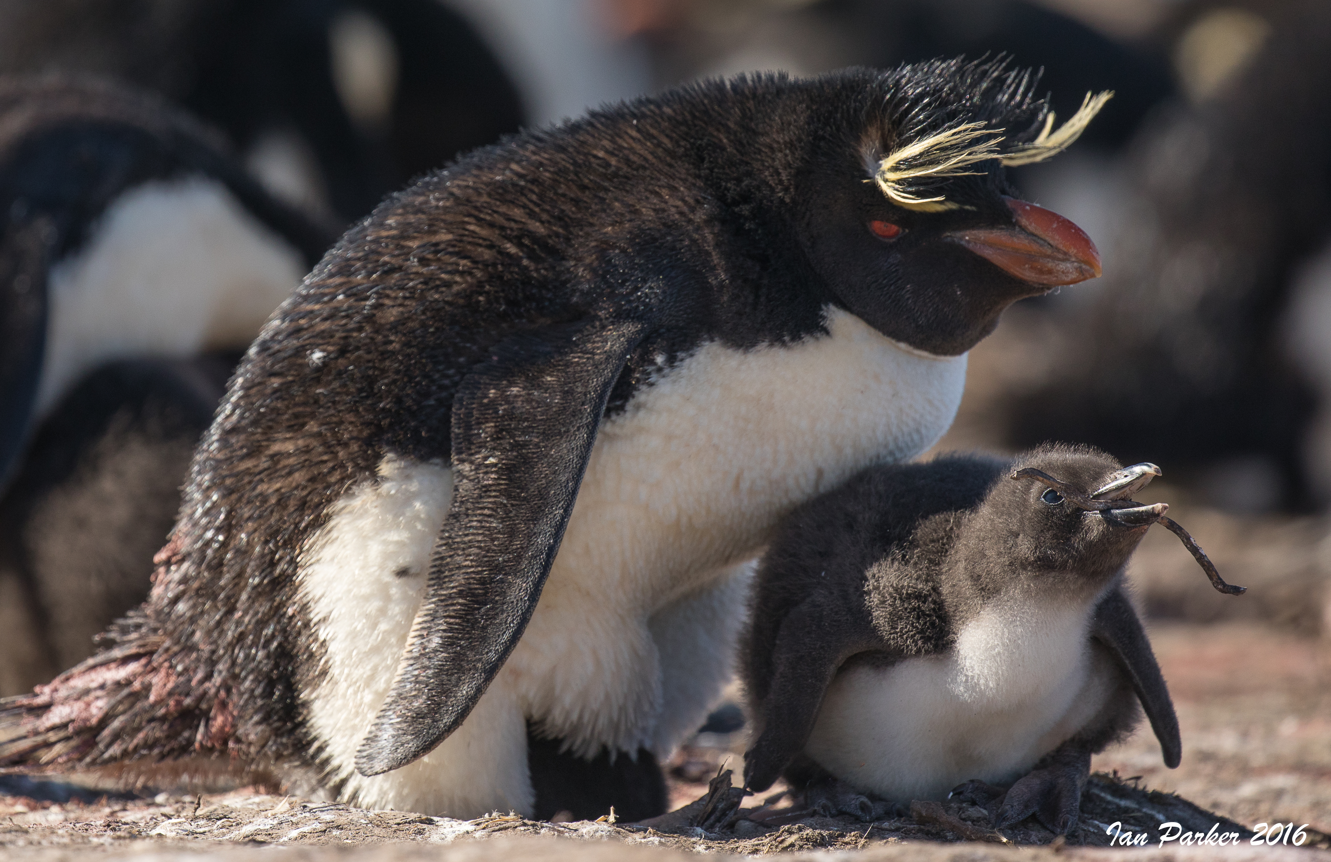
"Steeple Jason Island extends off the far northwest side of the Falkland Islands into the Atlantic Ocean. It is a “Should Be A World Heritage Site” and has some of the most restrictive rules about landing as any in the world. This is to protect the main nesting area for the 183,000 pairs of Black-browed Albatross who all nest along one side of the island—one elevated nest after another for miles. It is a noisy place of continuous Albatross chatter competing with Rockhopper Penguins squawking who have elected to nest on the ground beneath the elevated albatross nests. The screeching chorus that is often heard is from attacking Striated Caracara that also makes Steeple Jason the largest nesting colony of these aggressive birds of prey who continually patrol above and around the Albatross and Penguins looking for meals for themselves and their chicks. Then it was off to the colony through a forest of old growth tussock grass. The tussock was almost as much of a barrier as the rough seas surrounding Steeple Jason. The old growth tussock grass was giant. Each clump was over 7 or 8 feet high and growing very close together with a tangle of wet and slippery roots at ground level Tussock is like serrated swords by the thousands and if one is not careful they slice your hands, face…anything that is uncovered. It seemed like an endless trek, but in 20 to 25 minutes we came through onto the edge of the colony—covered in dirt, pooh, mud, slightly cut by tussock fronds and completely wet, but what a sight."[PenguinSpirit blog]
The rules stipulate that you should not approach closer than 5 meters to wildlife.
But the albatross are entirely unconcerned about people, and if you sit still they will walk up, or even land right next to you. Even a super-wide lens (14mm on a full frame camera) did not provide a sufficient field of view to encompass their enormous wingspan.
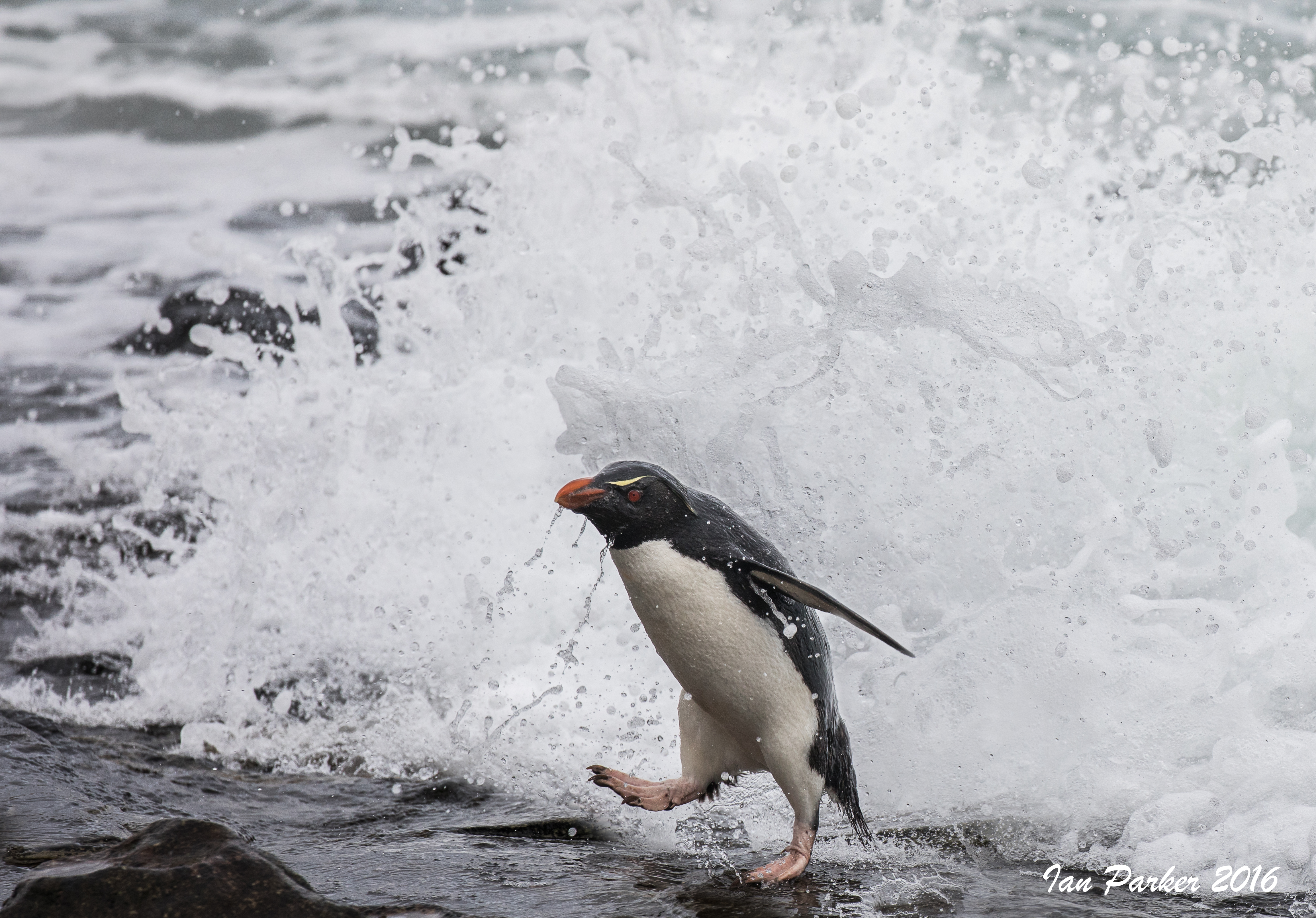
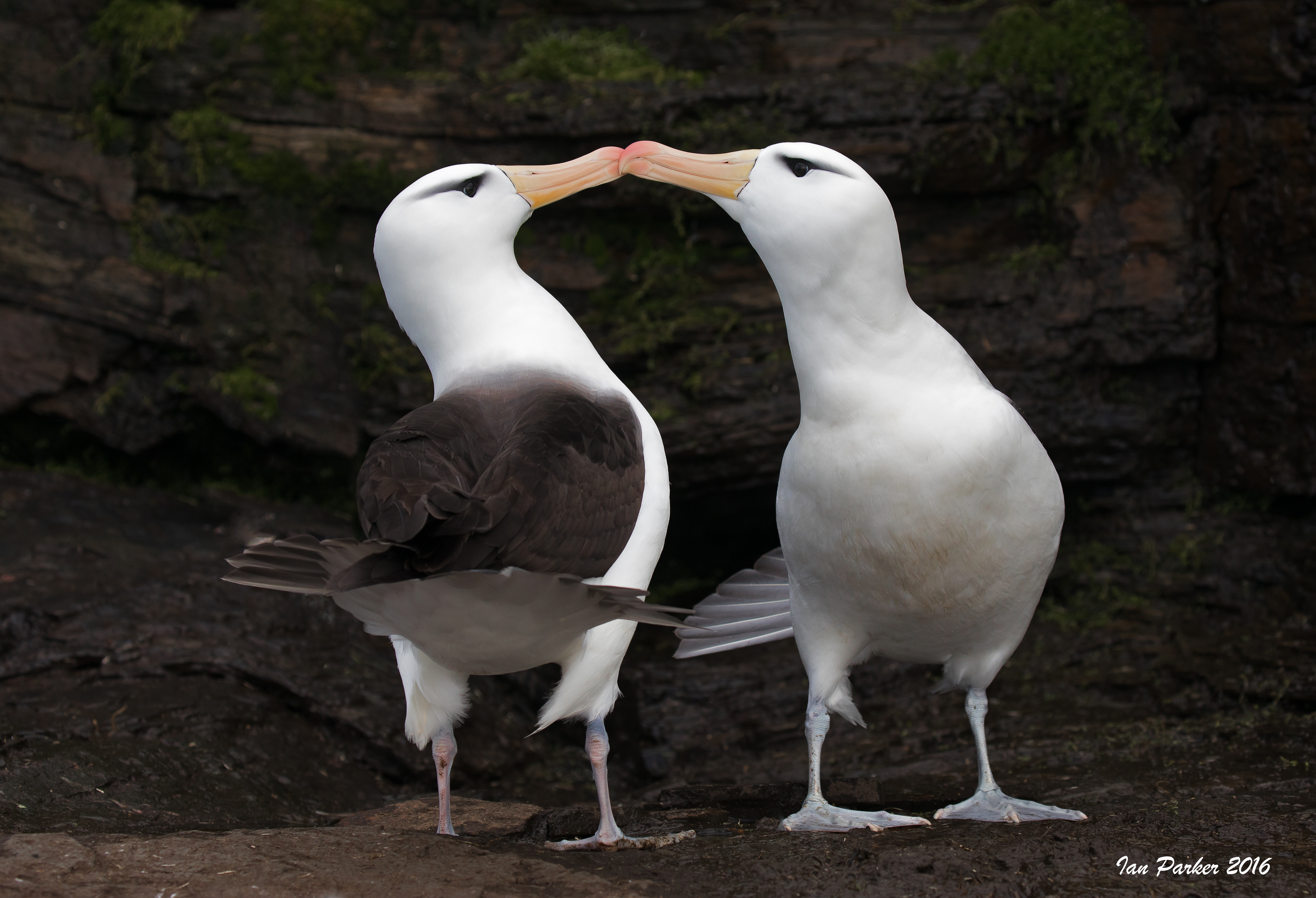
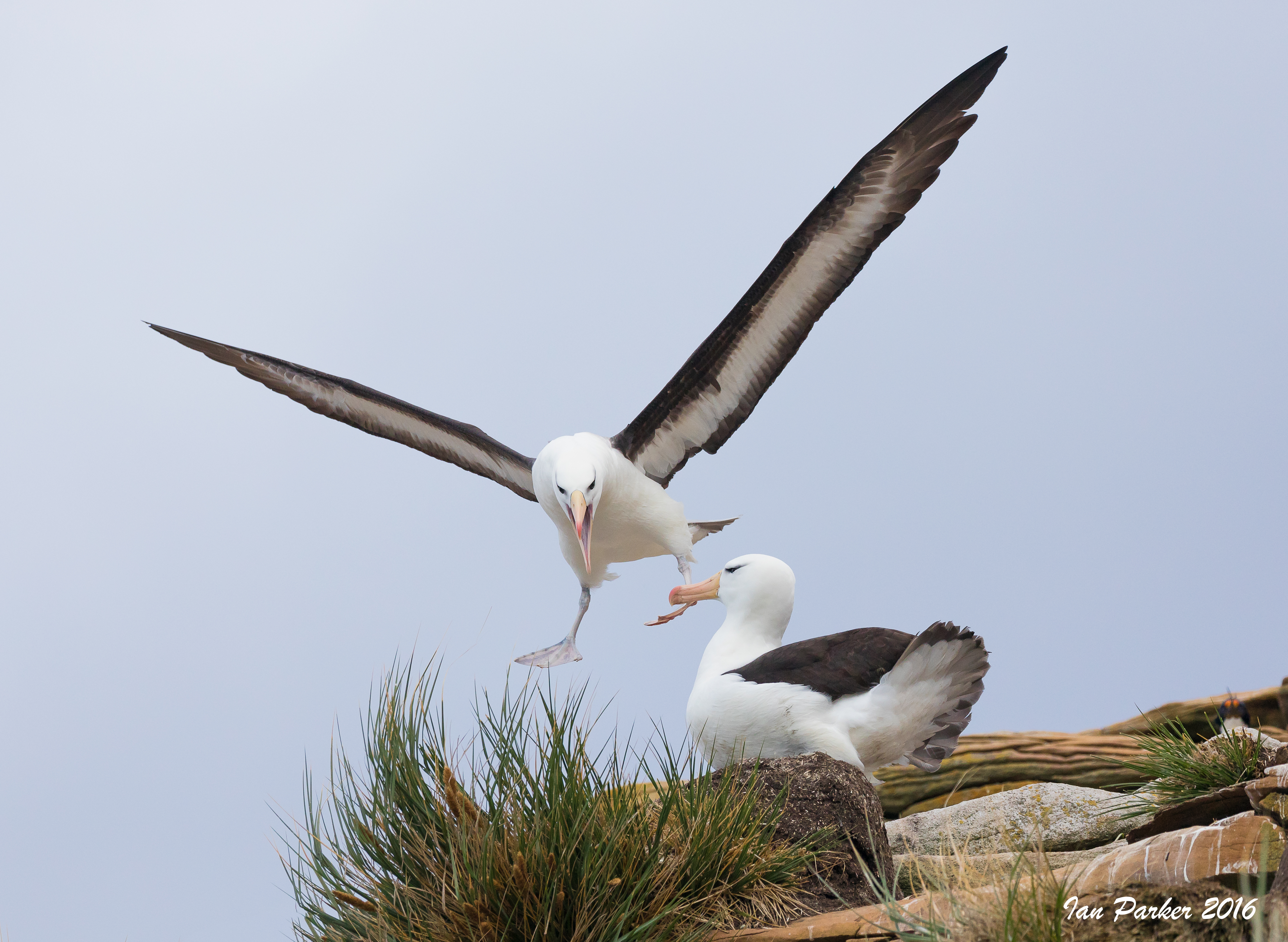
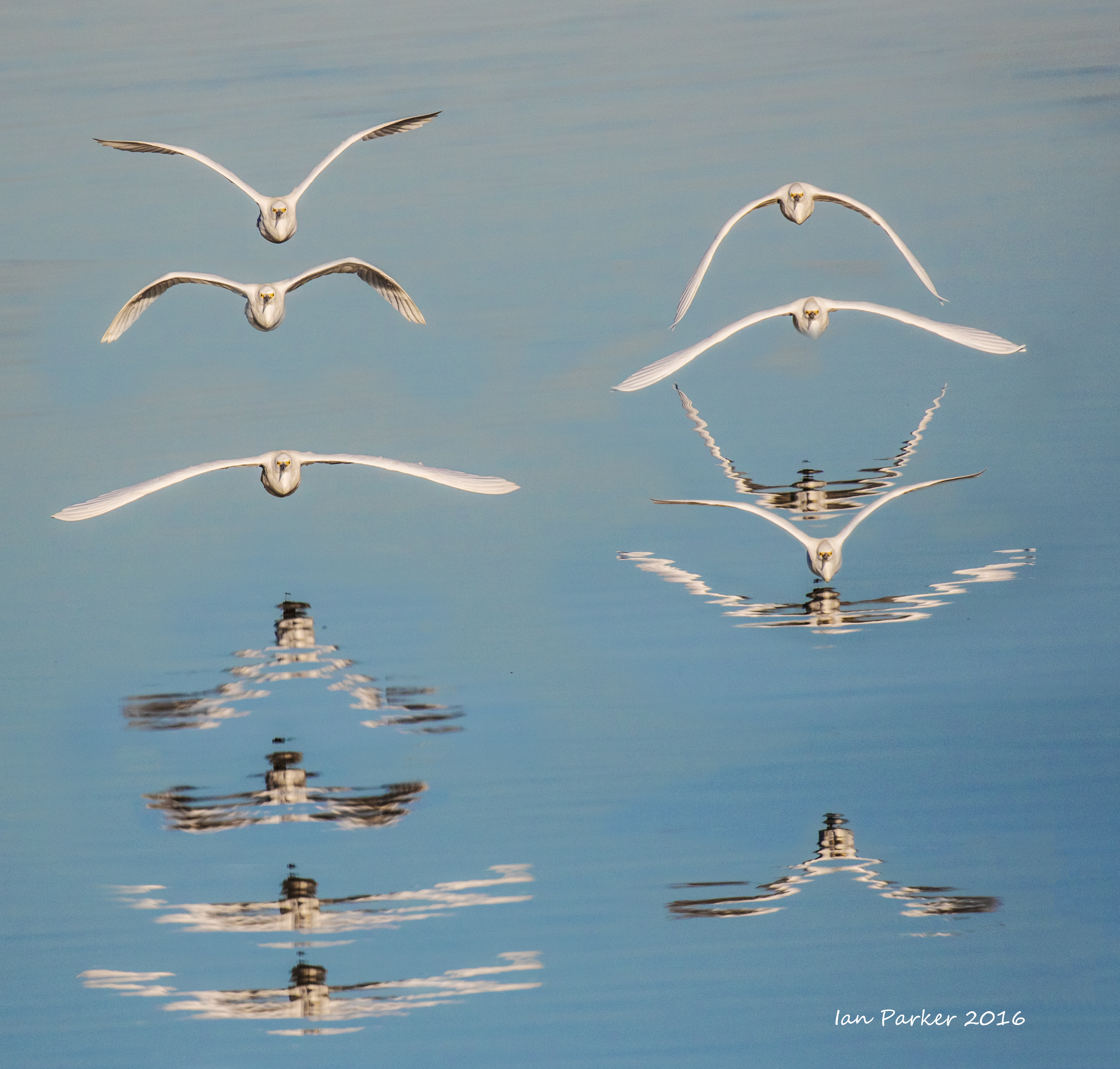
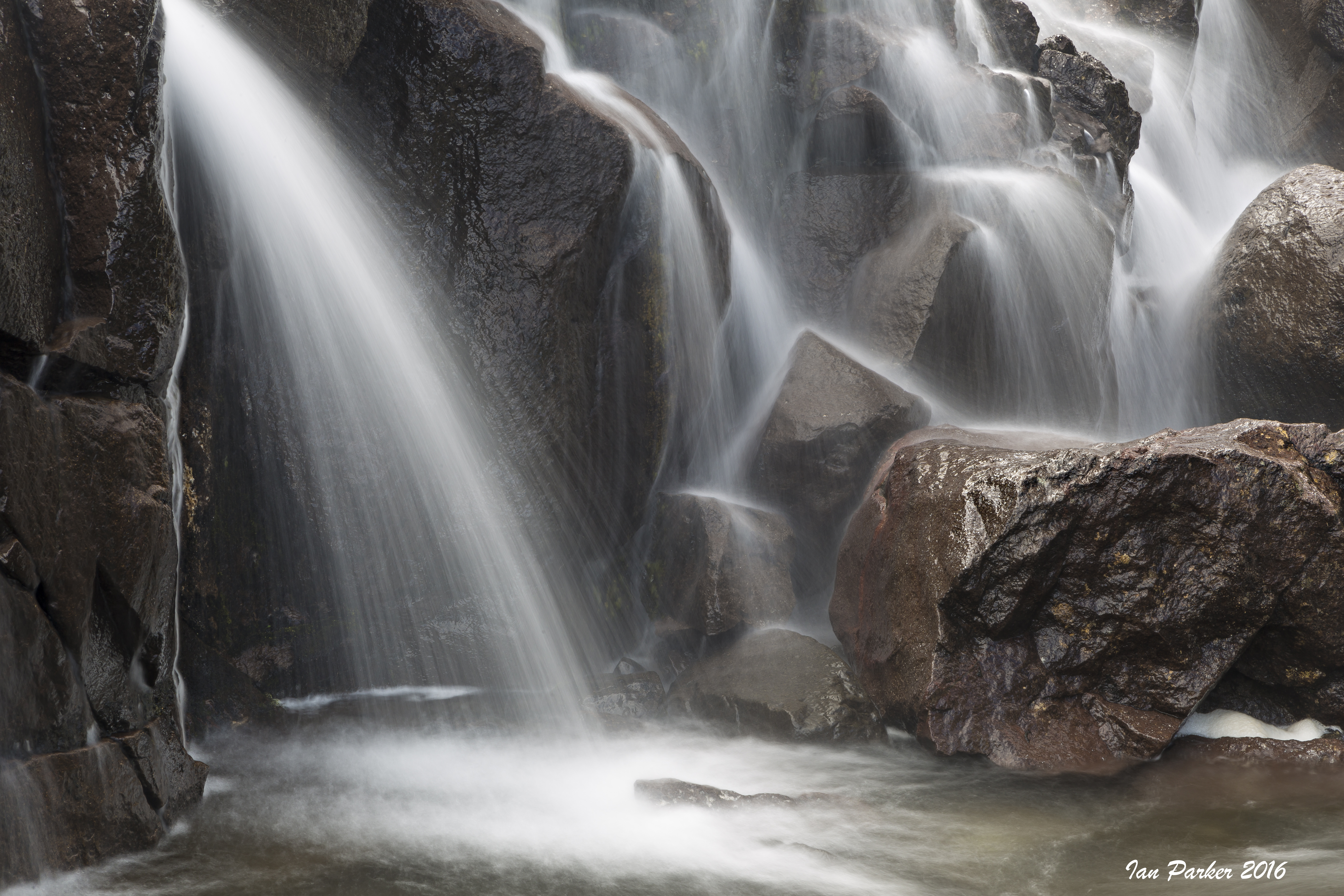
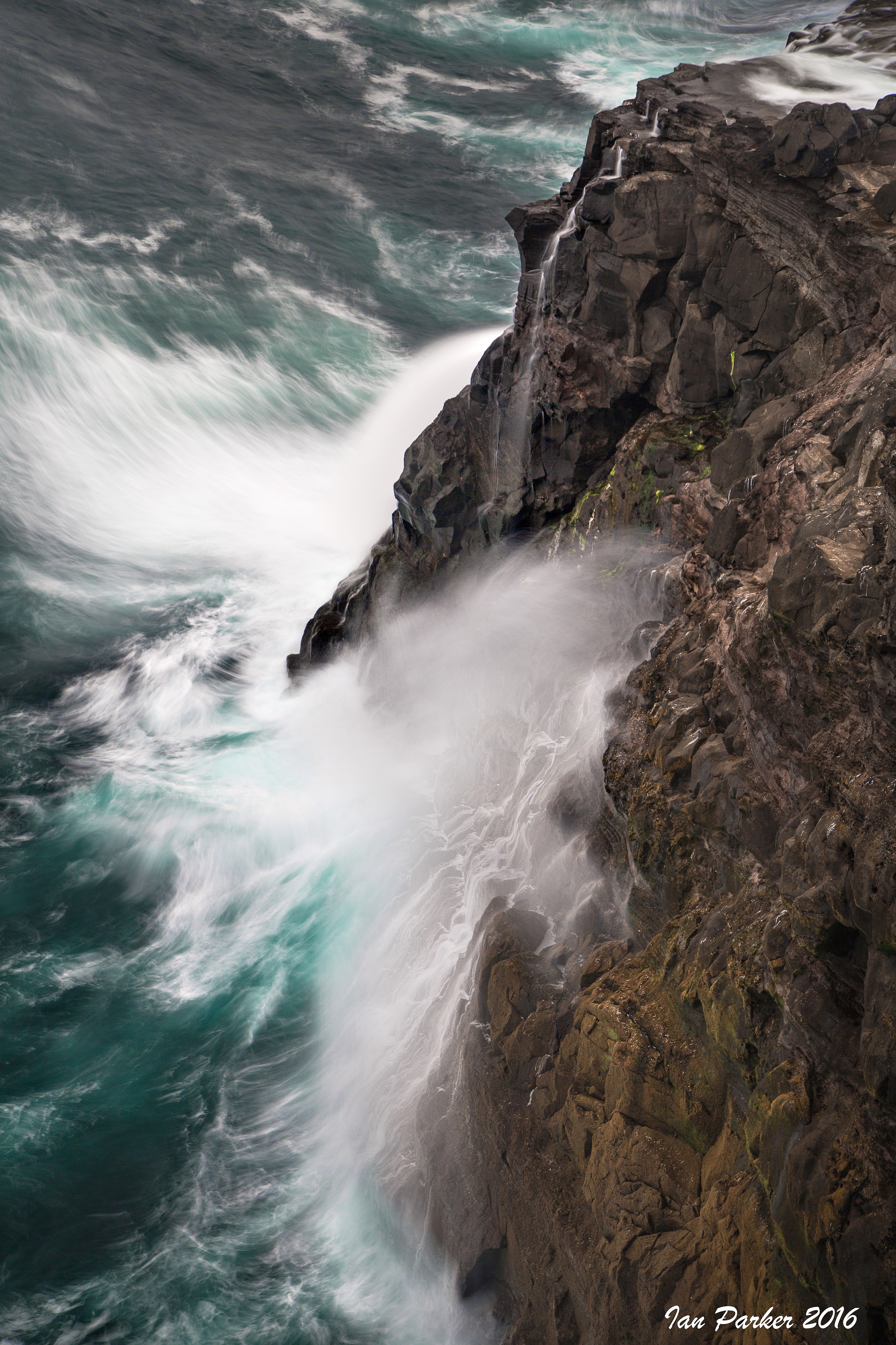
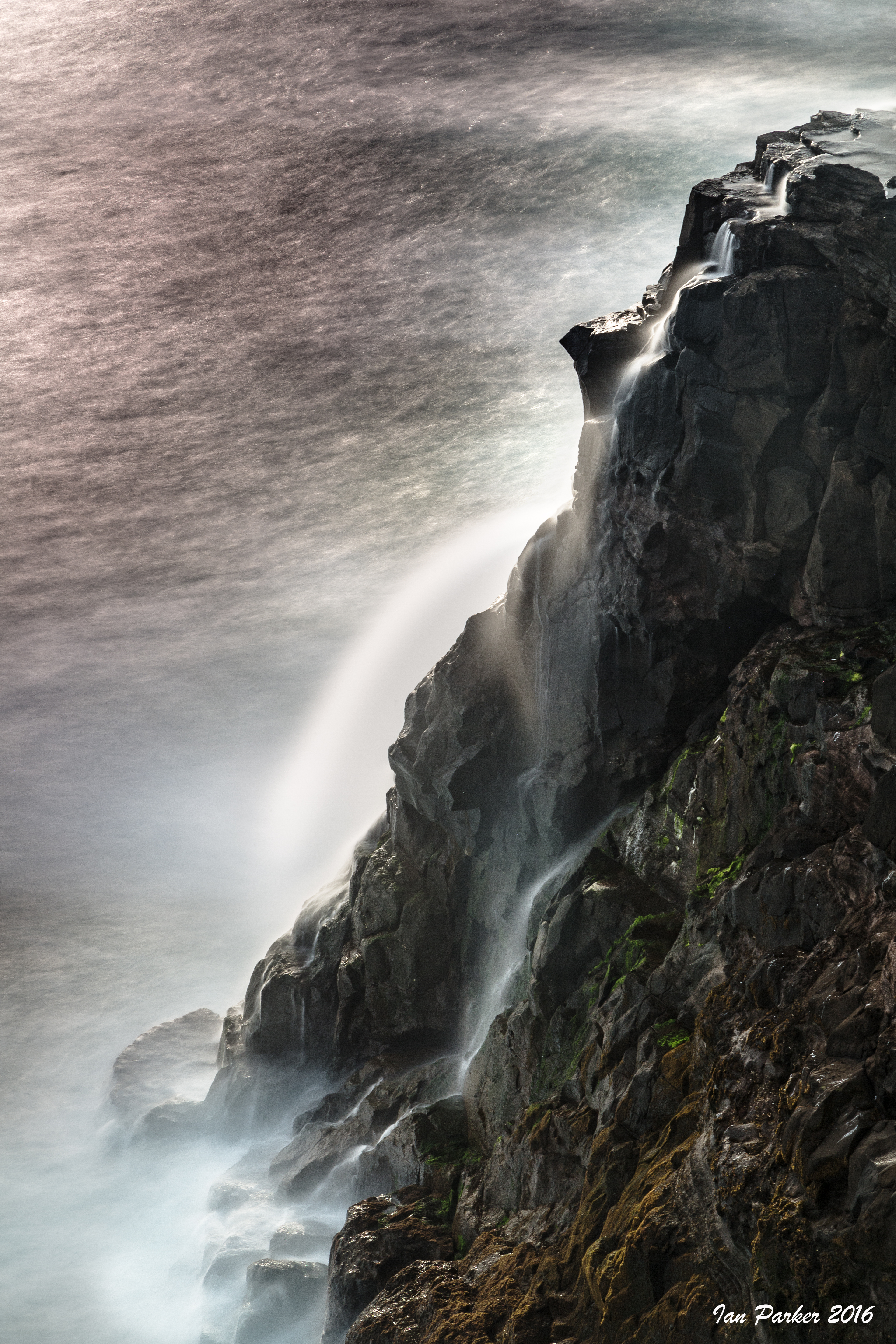
December 14 : The Neck of Saunders Island
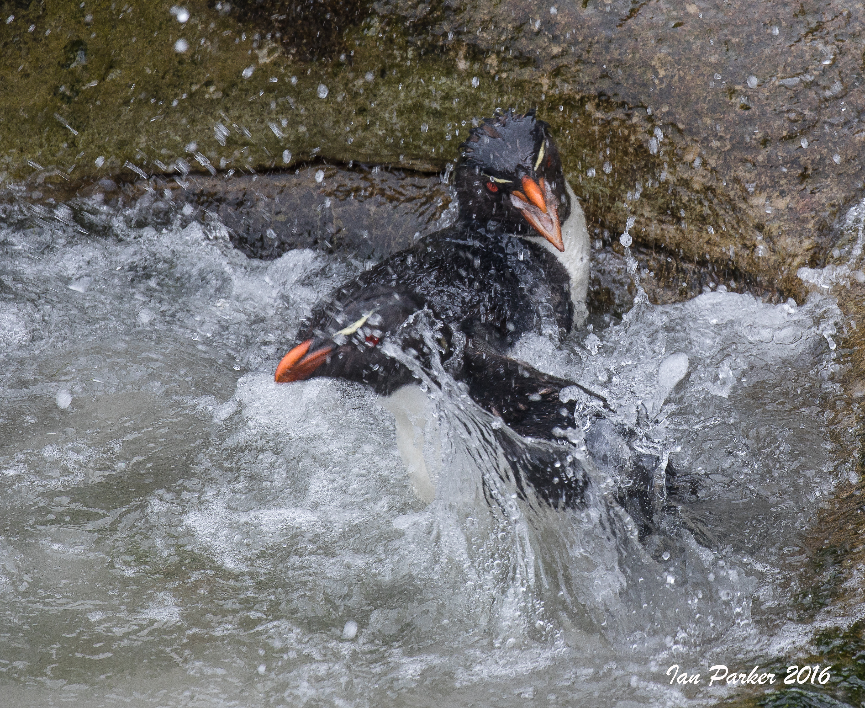
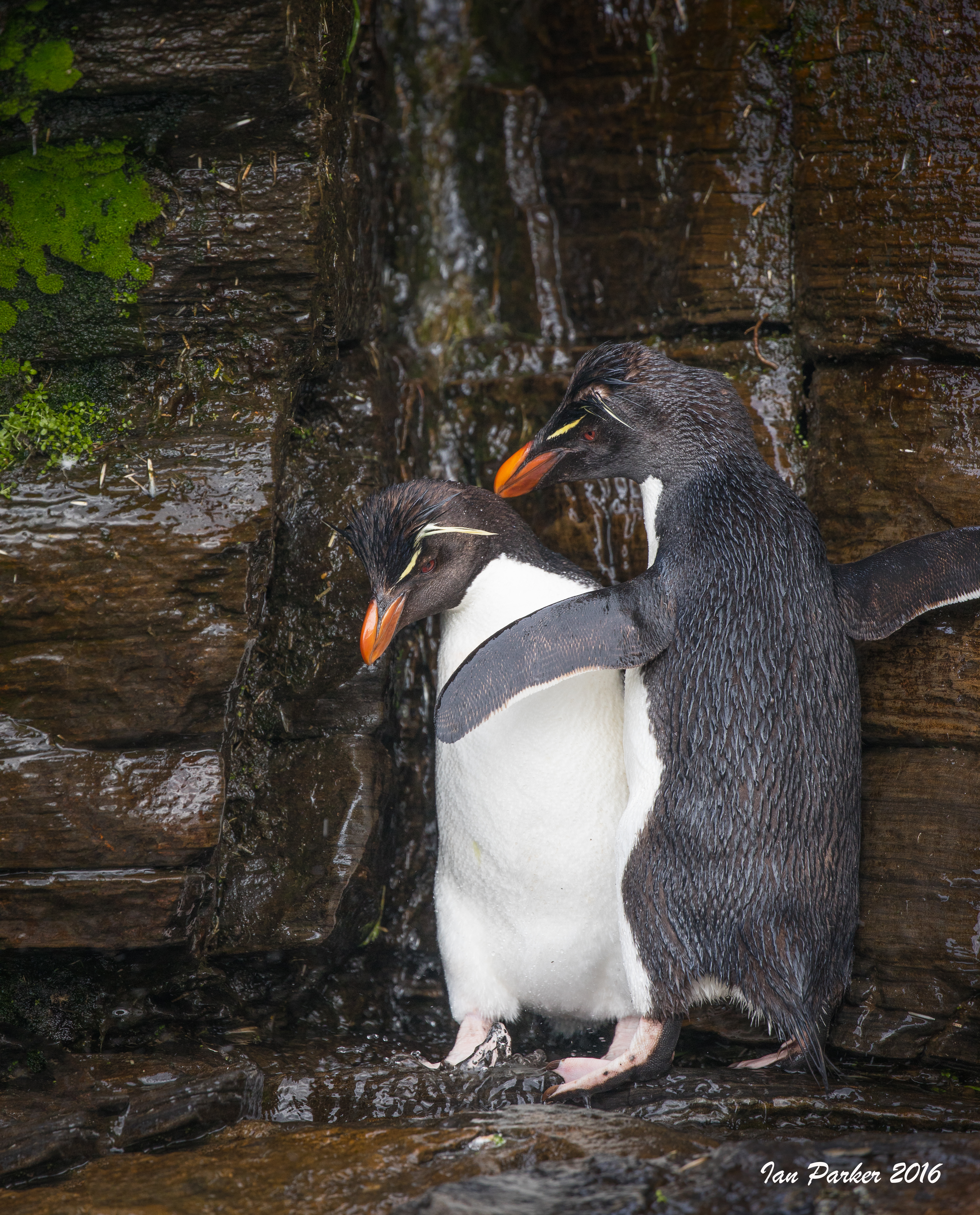
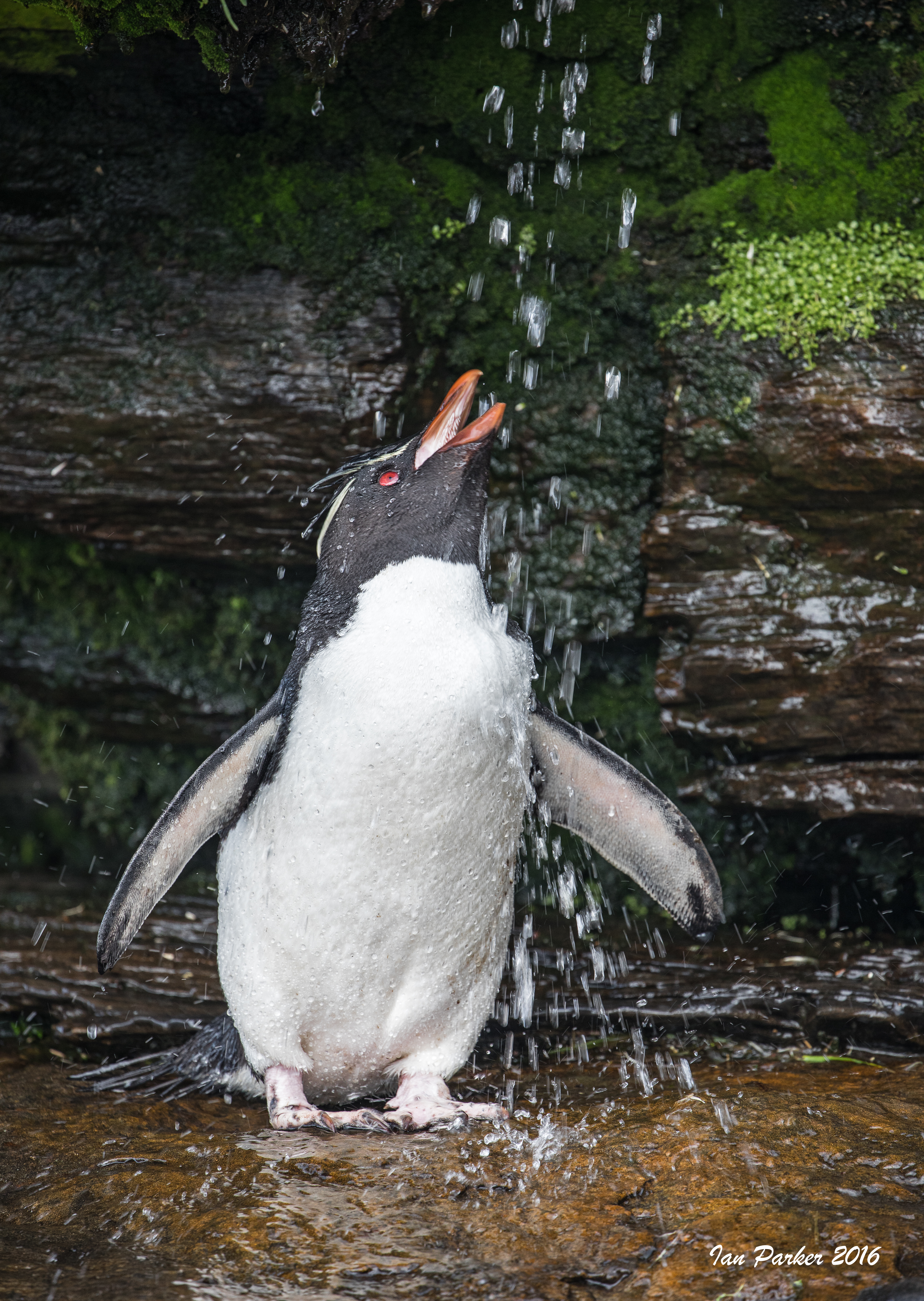
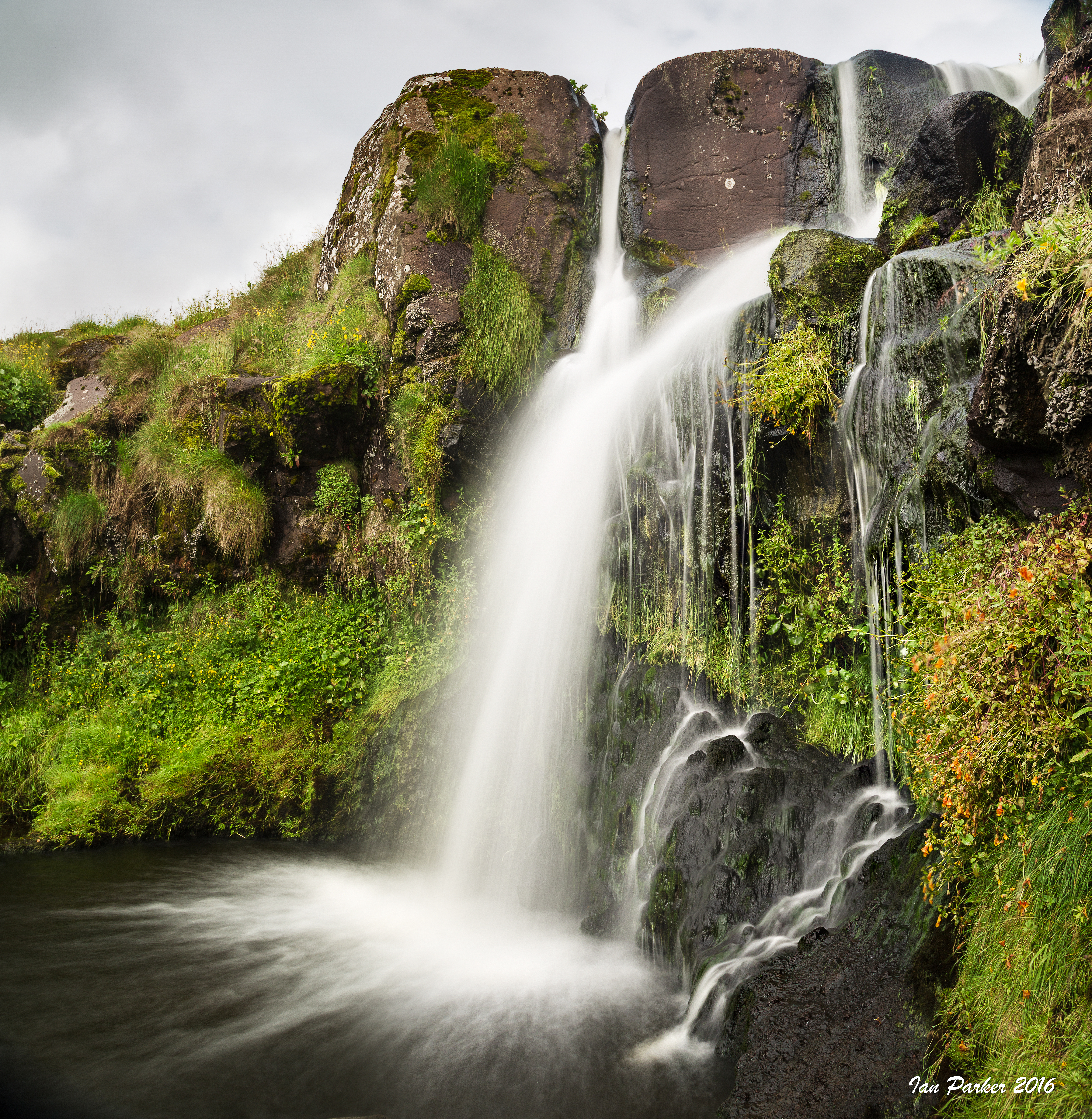
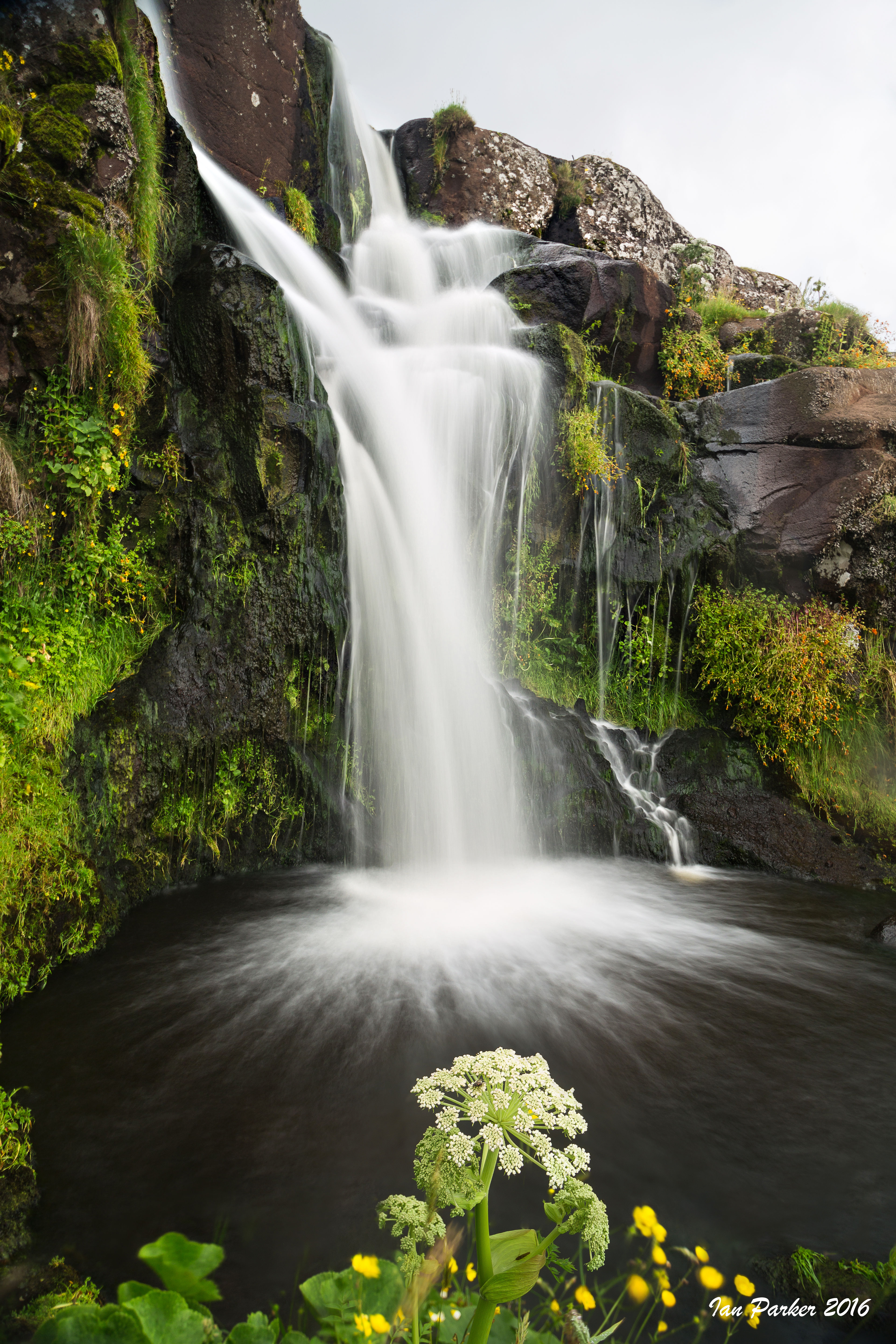
December 14; Saunders Island Waterfall
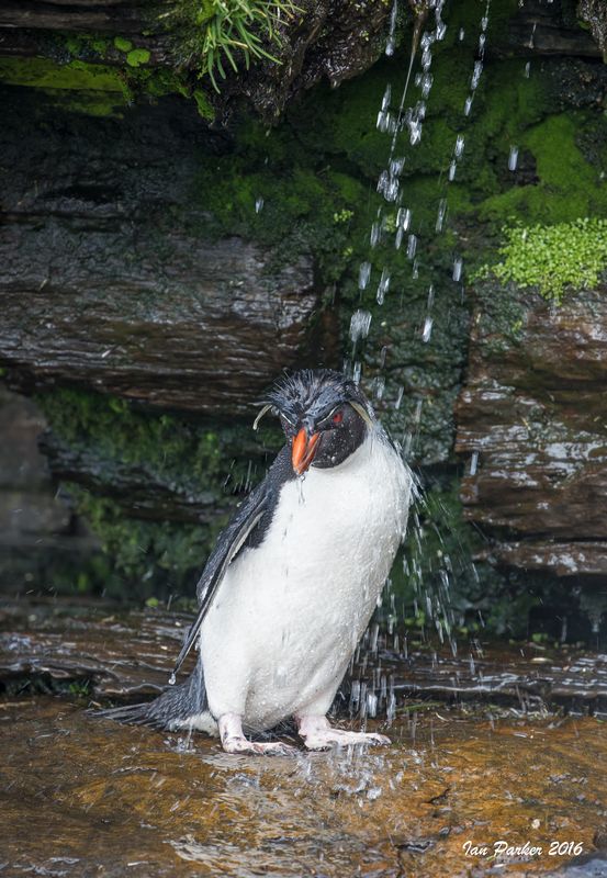
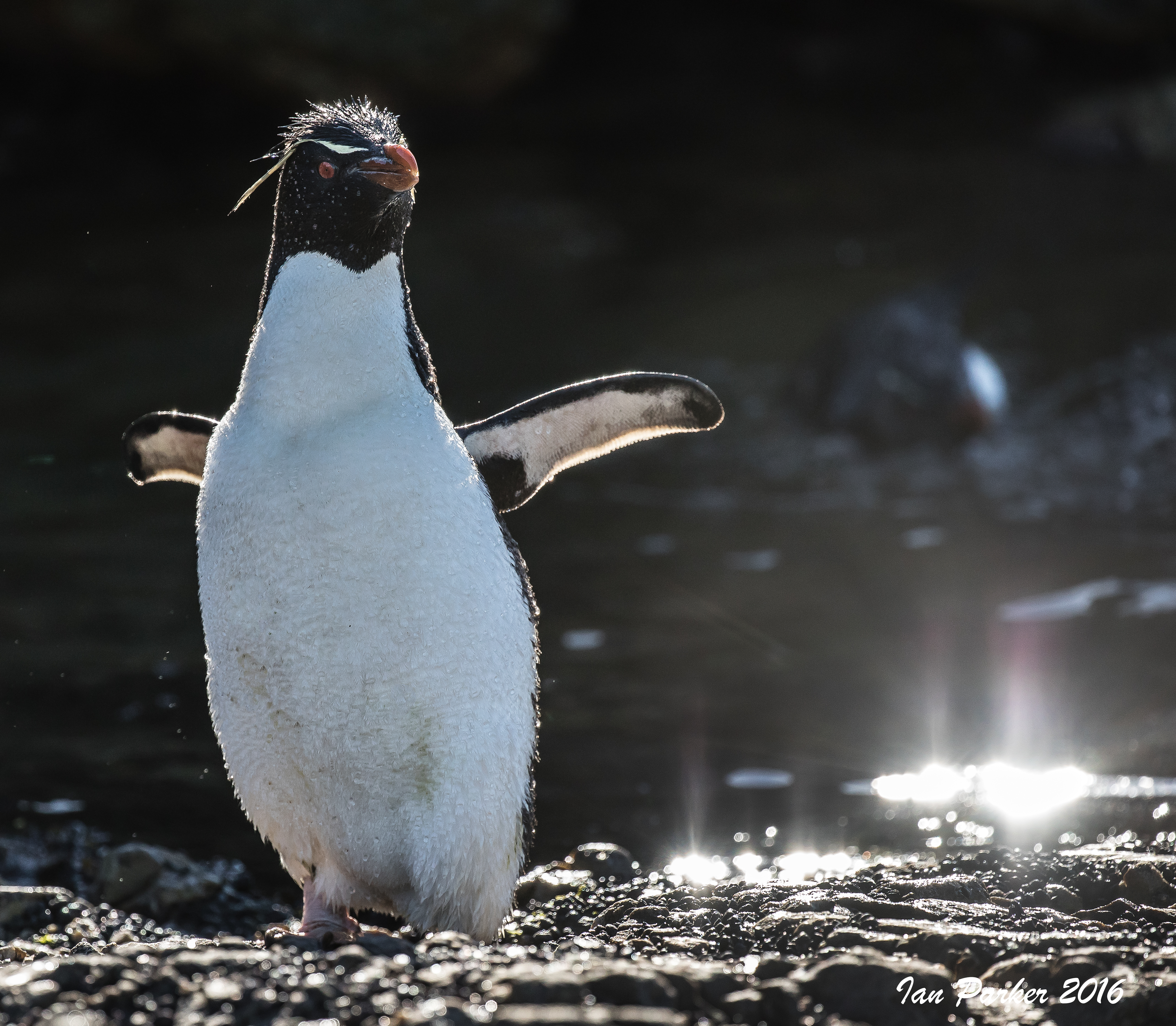
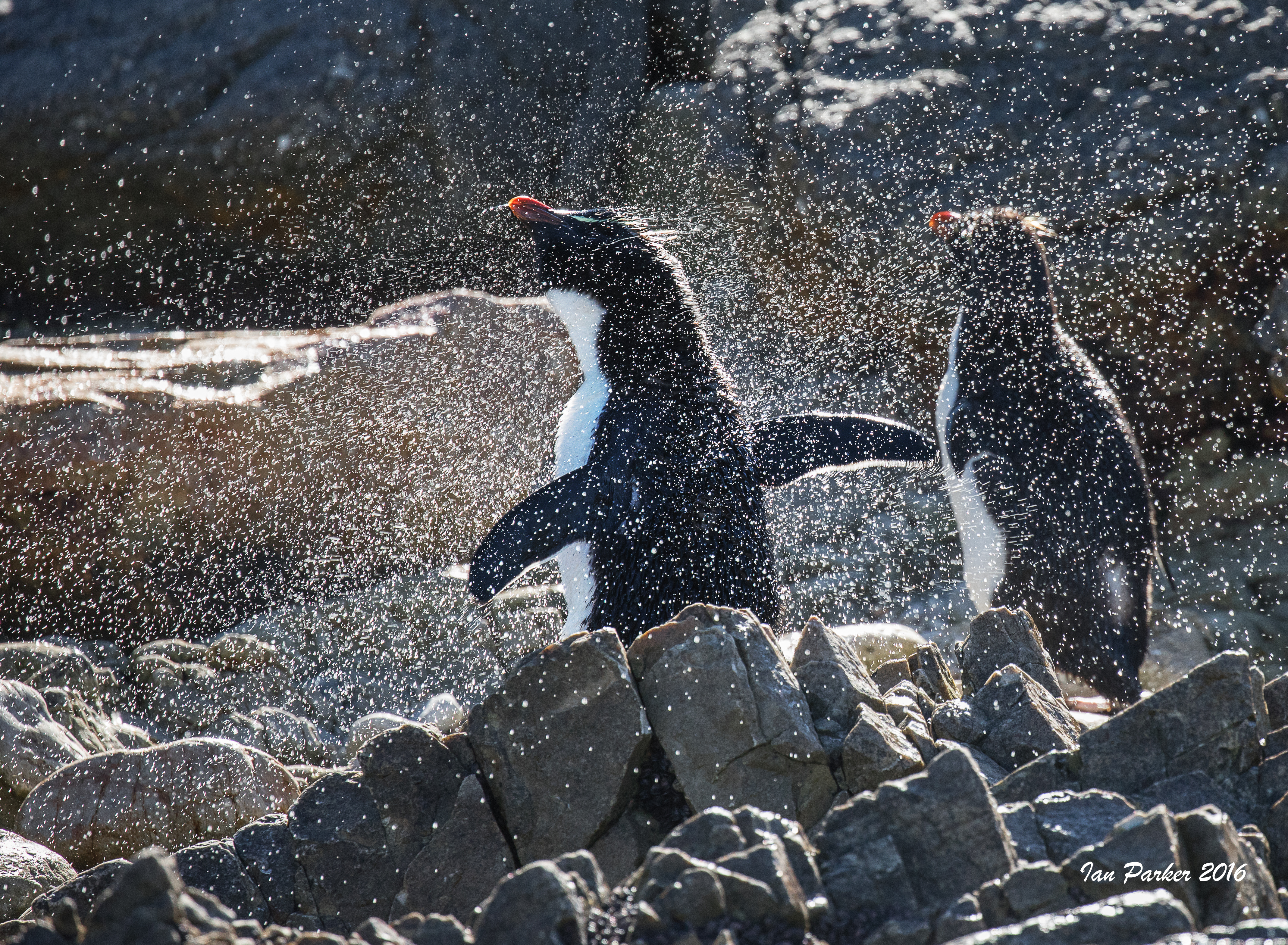
Rockhopper shower bath #1 : The Waterfall, Saunders Island
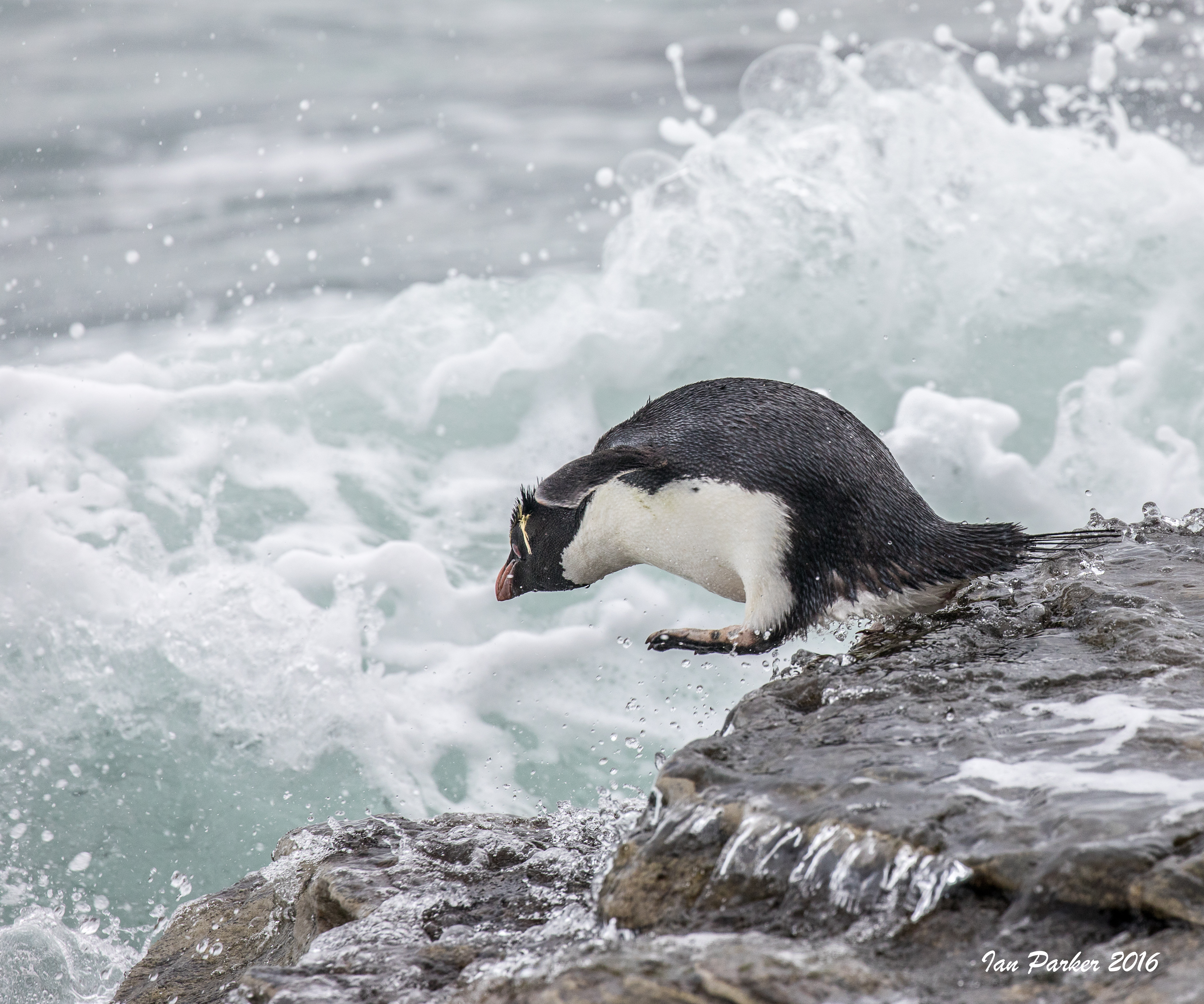
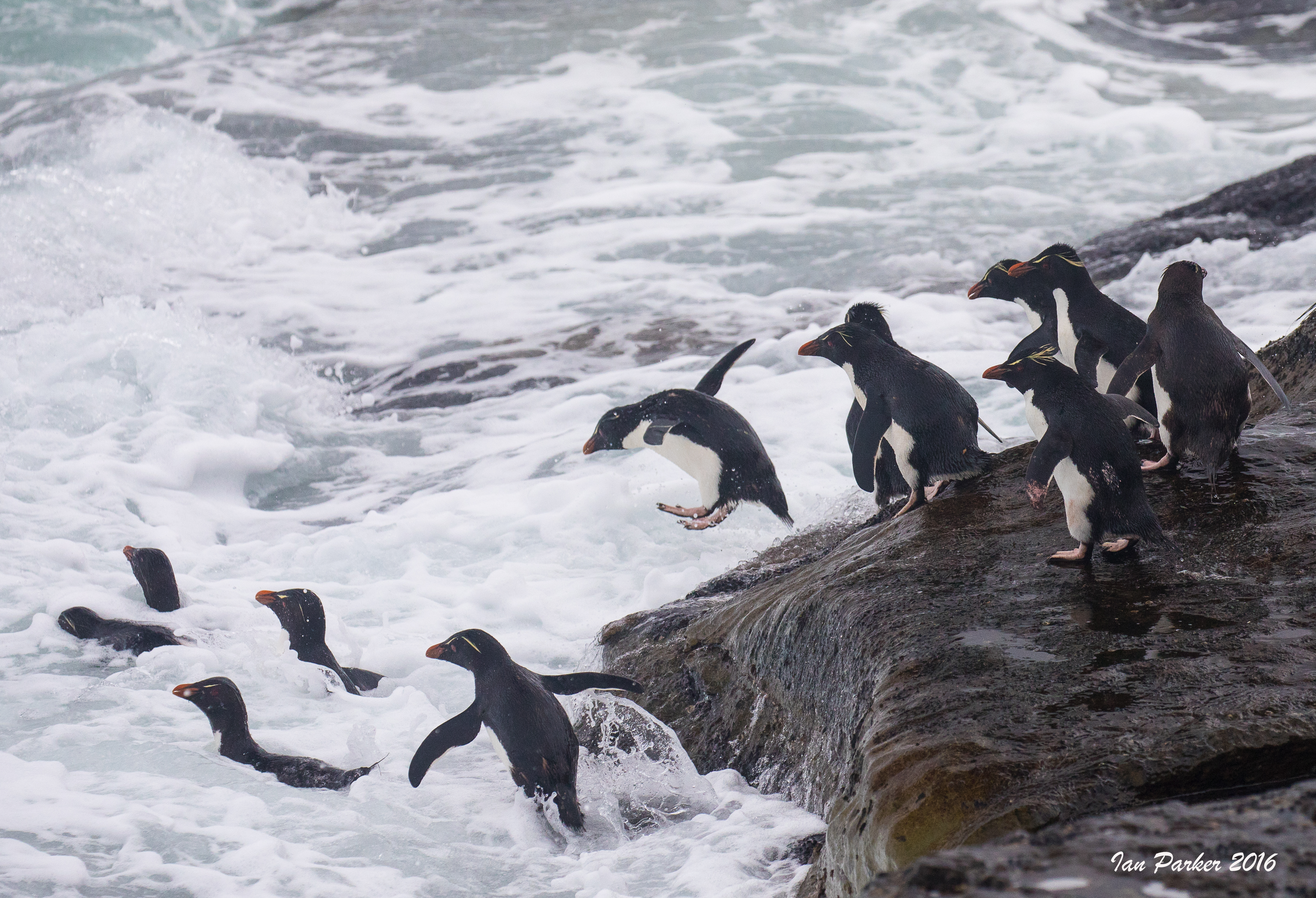
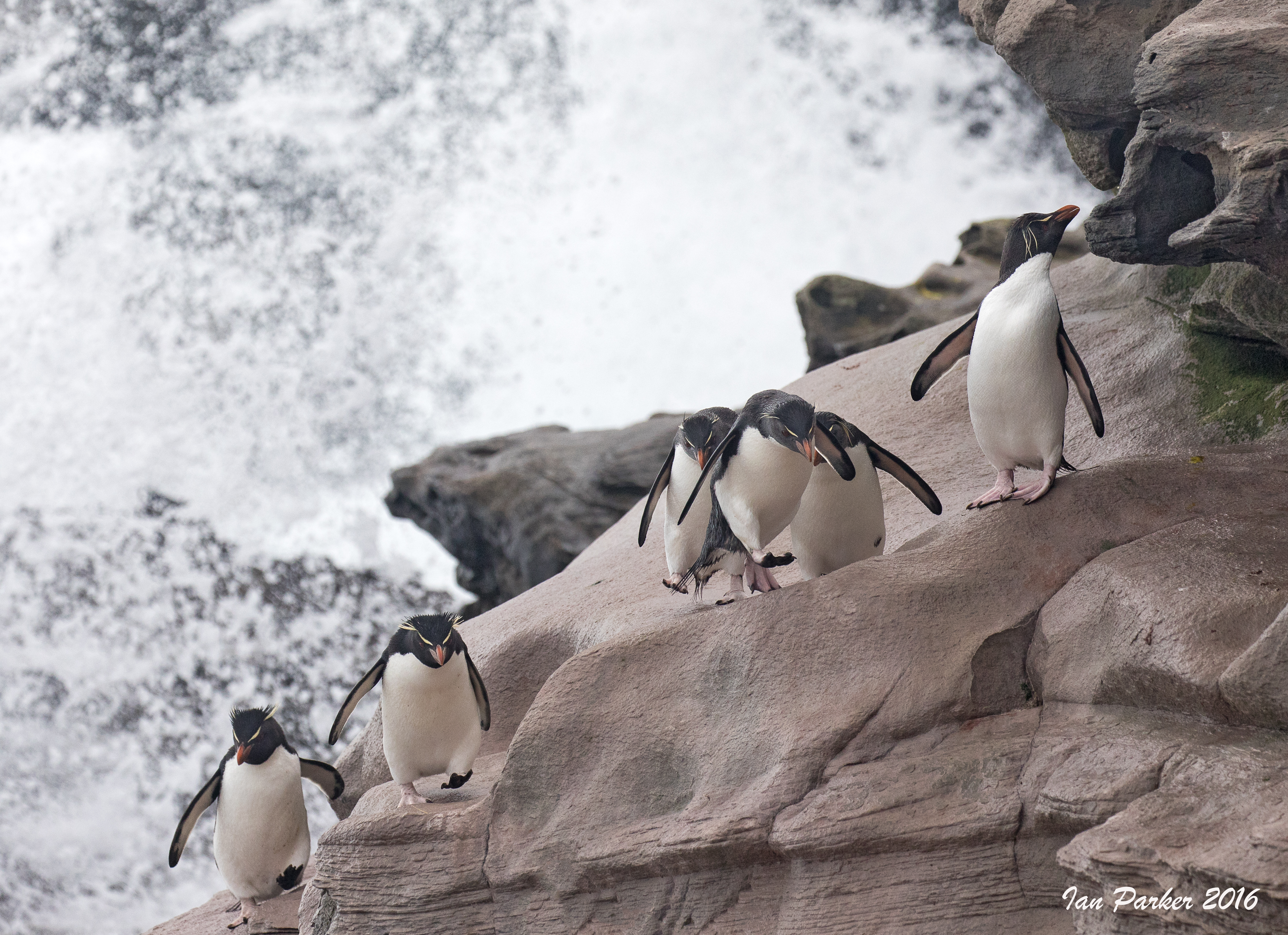
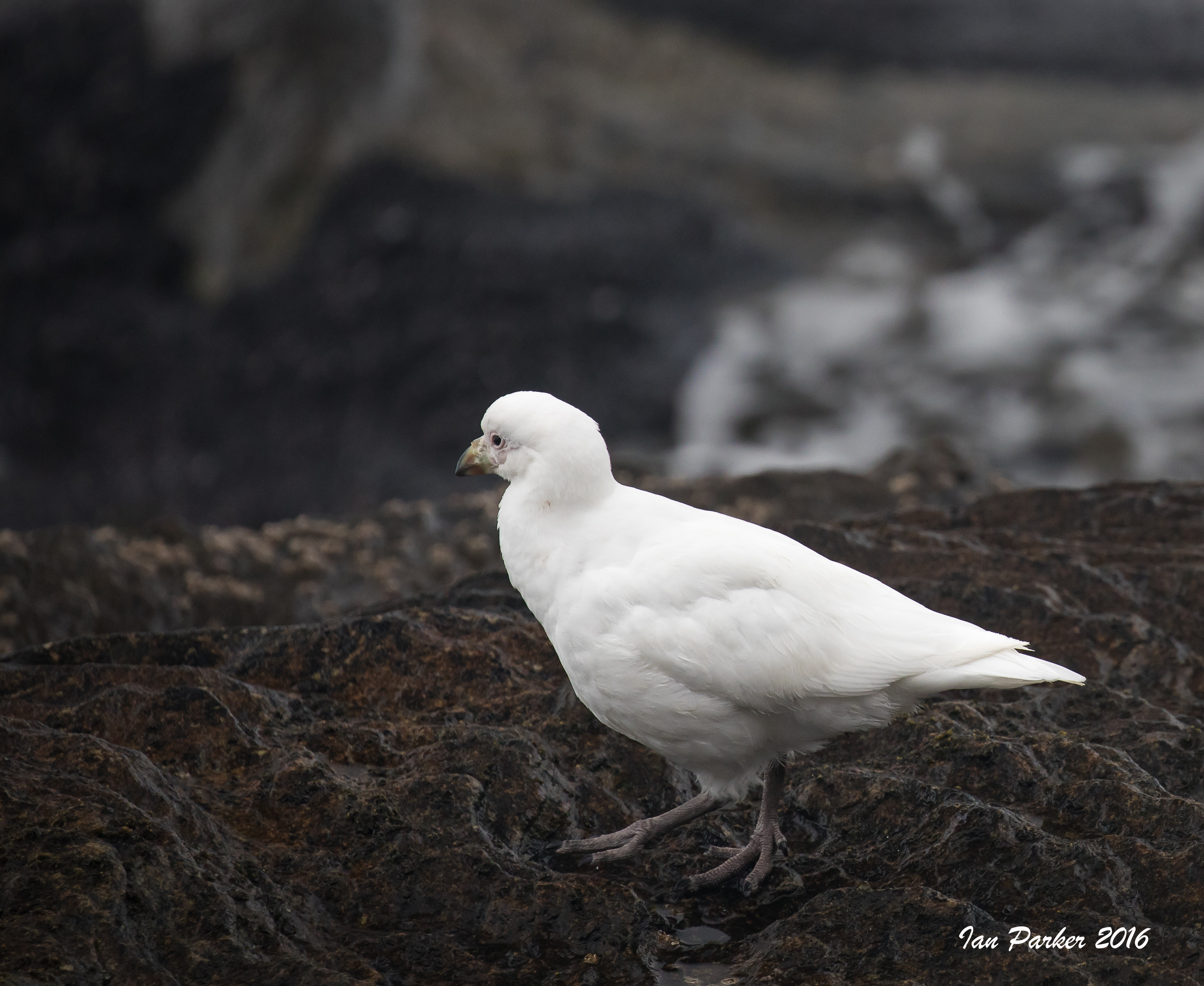
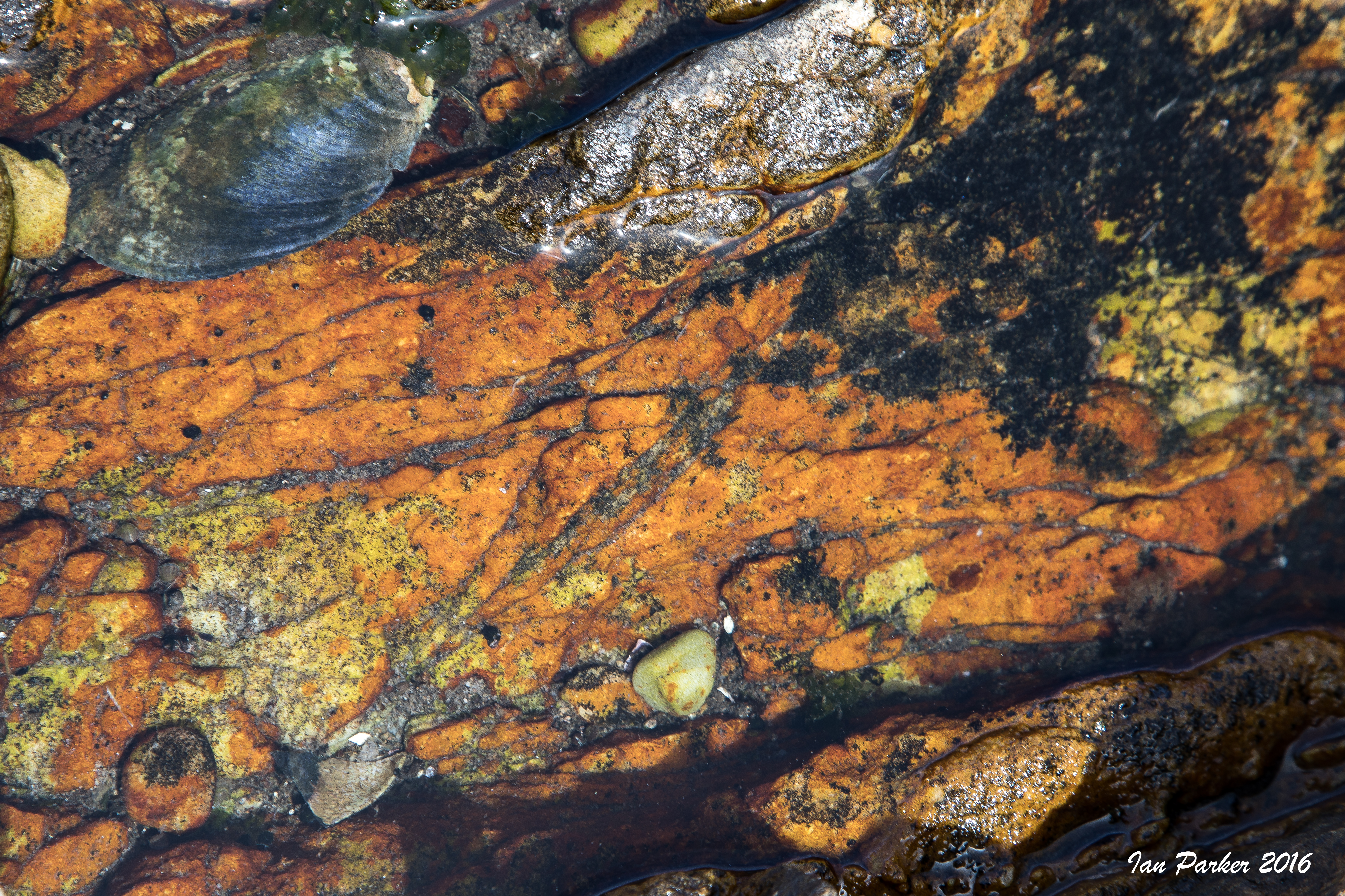
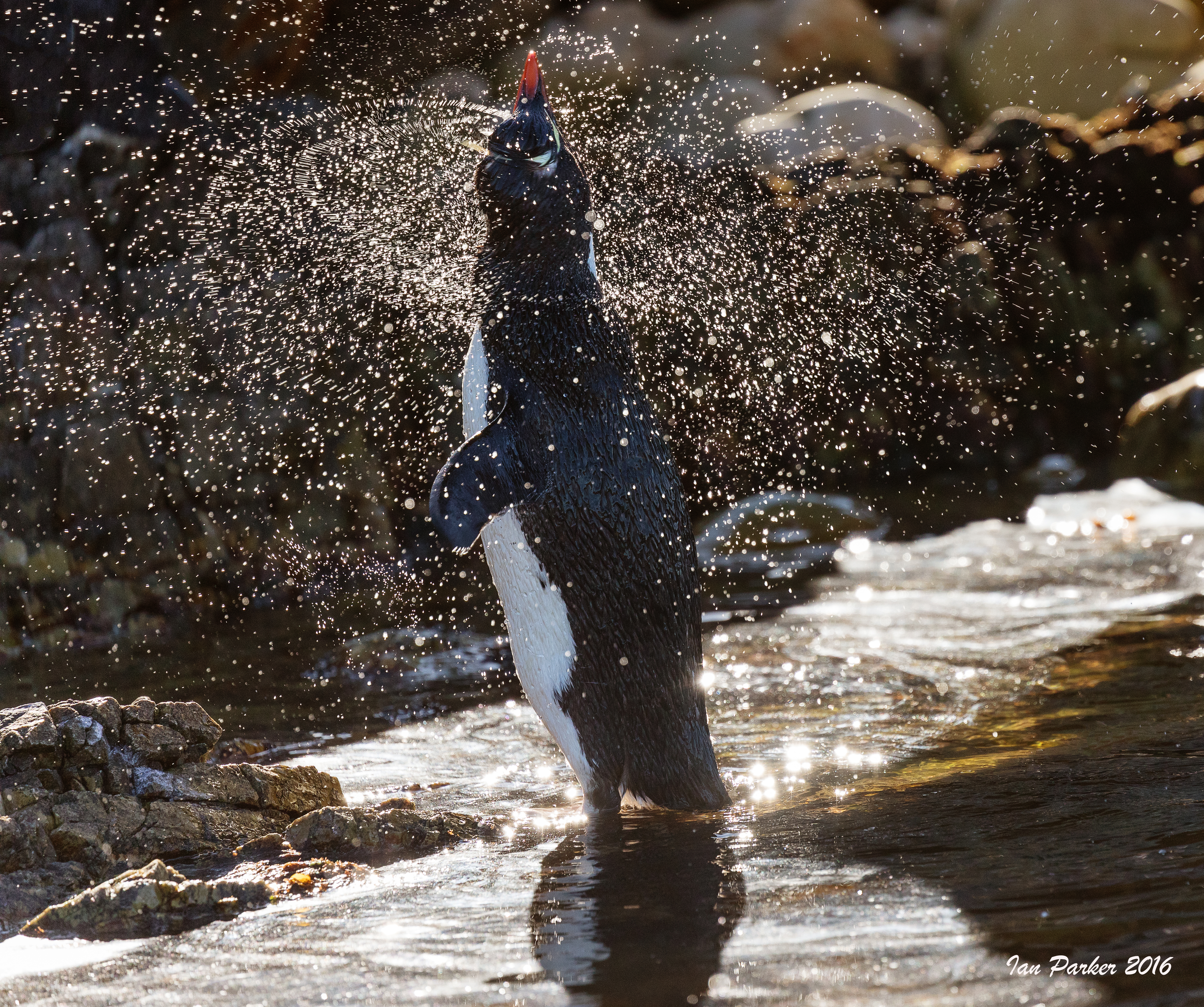
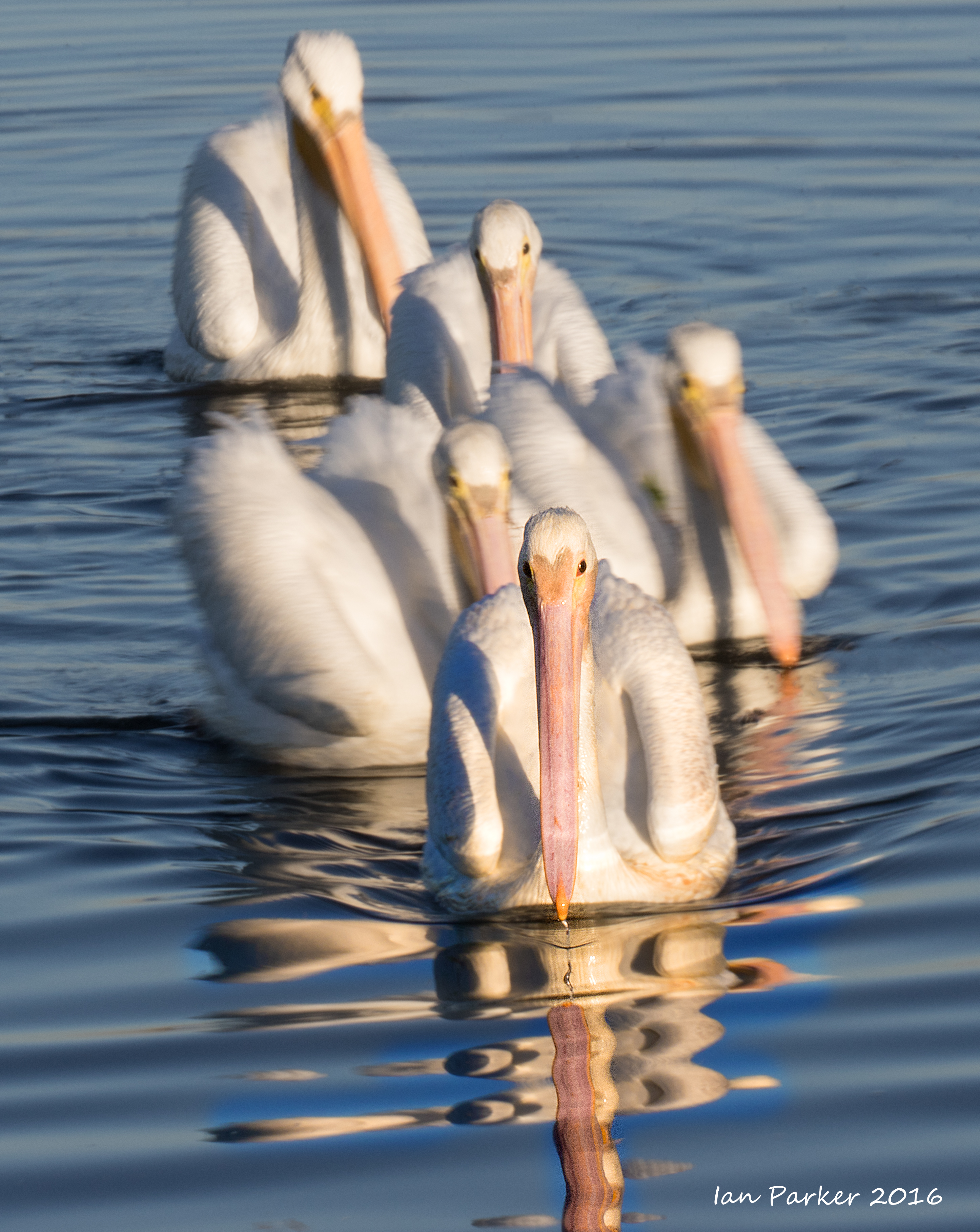
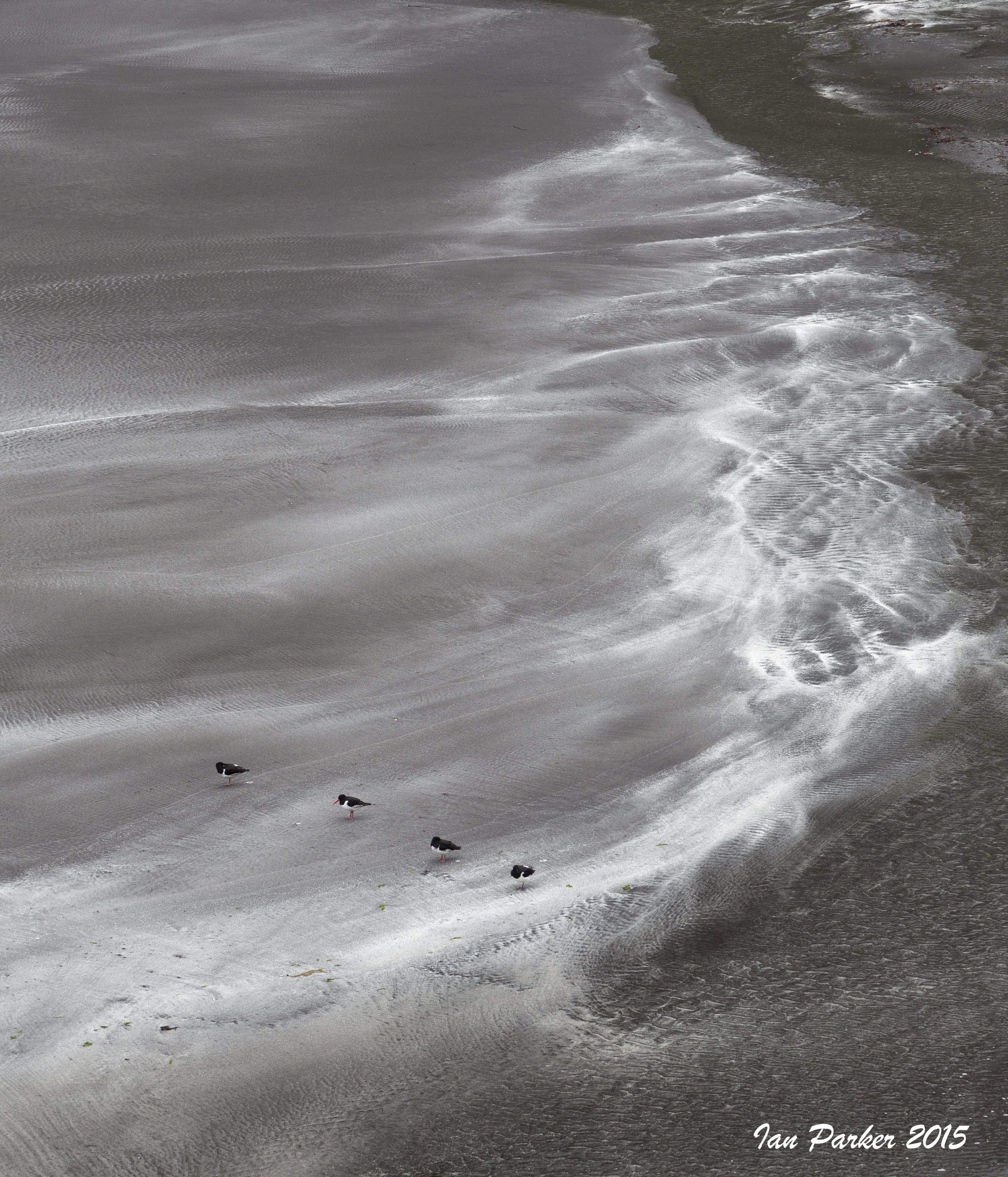
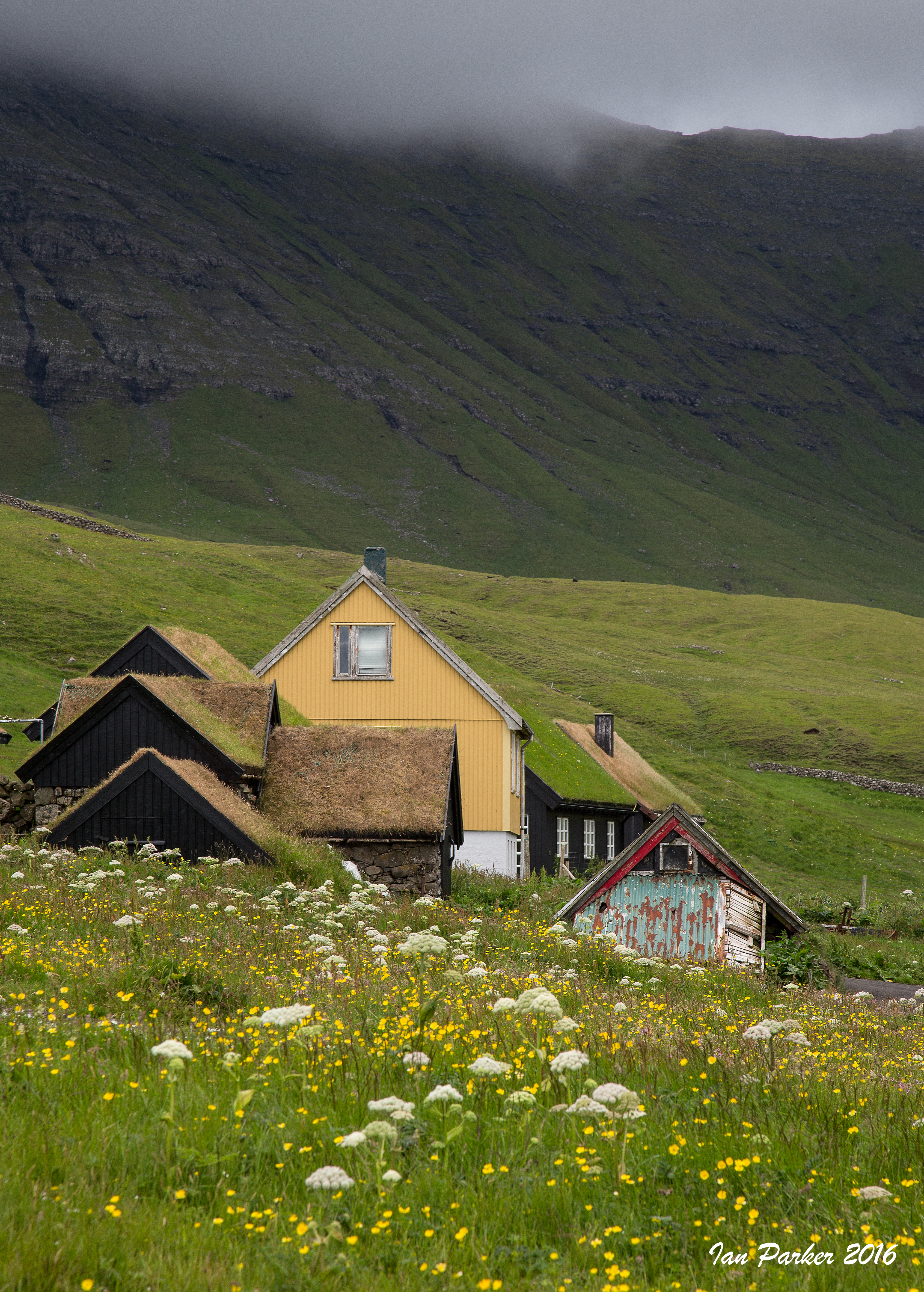
December 15; Pebble Island
Pebble Island was our penultimate destination, and on a first morning landing did not impress! We had hiked inland to a large pond in search of waterfowl, but the pond was dry. The Falklands are experiencing a six-year drought, and all that remained was a brown expanse of cracked mud, enlivend only by a dessicated sheep's skull.
Pebble Island is named for
some peculiarly spherical pebbles found at its western tip. I never found these, but there were some nicel coloors in tide pools at our landing beach.
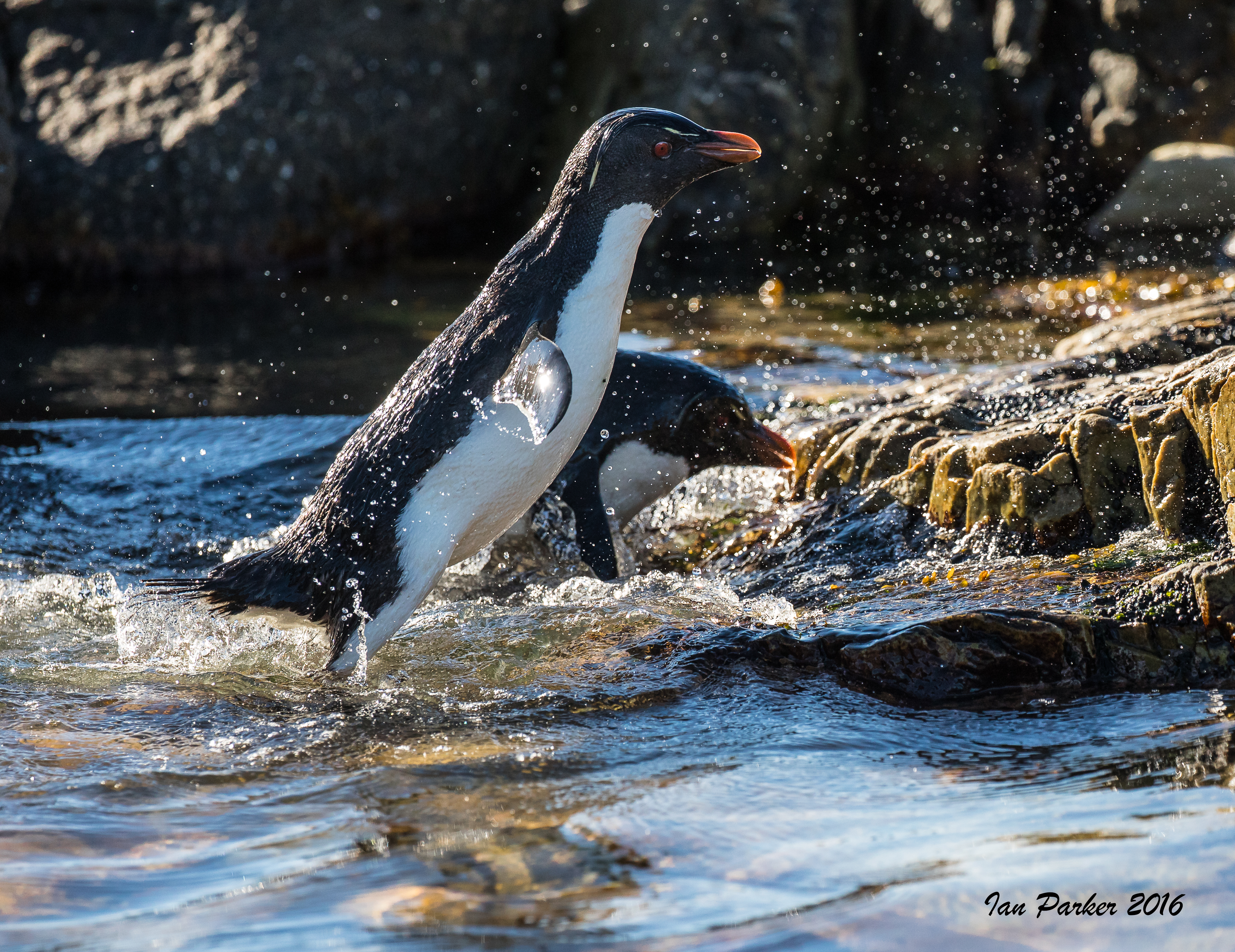
The afternoon landing, however, was much more productive than the morning. We were dropped off by Zodiac at a different beach on the low side of the island, and hiked across to the opposite side where cliffs drop steeply to the ocean. Several colonies of rockhopper penguins are spaced over a few kilometers along the top of cliffs. I decided to stay at the first colony we found to maximize time with the penguins, whereas others in our small group continued onward. To get to their nesting site from the ocean the rockhoppers needed to first cross an extended rock tidal shelf and then find a way up the steep cliff face. I wanted to get down to the shelf, but at first look that seemed a daunting proposal as the convex slope appeared to steepen abruptly. But, after walking around to the side to get a better view I could see that the rockhoppers had created an elegant highway, switchbacking between ledges up the cliff face. This I decended carefully, with the main hindrance being the need to wait for little groups of penguins to pass by on their journeys to and from the ocean.
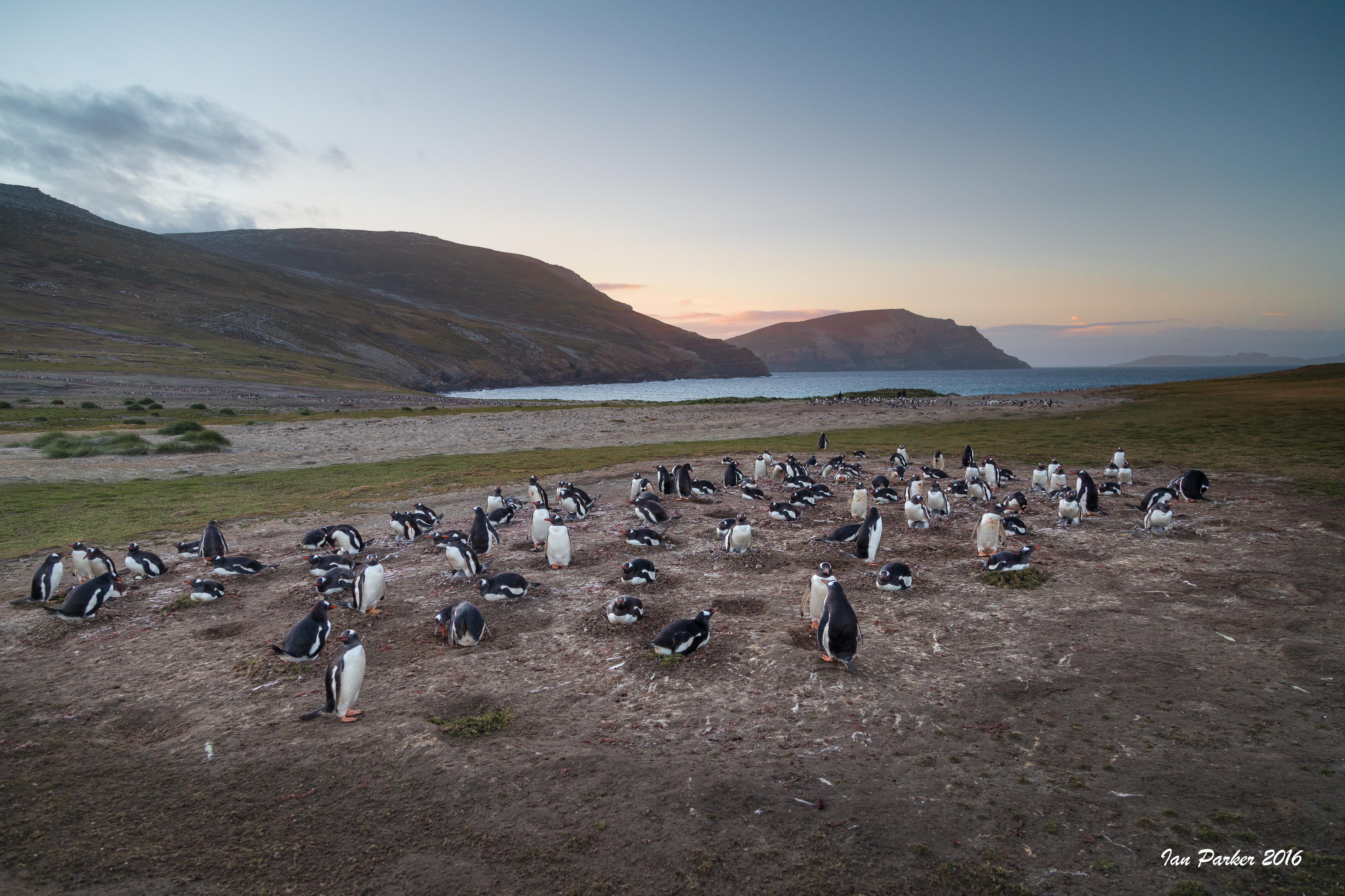
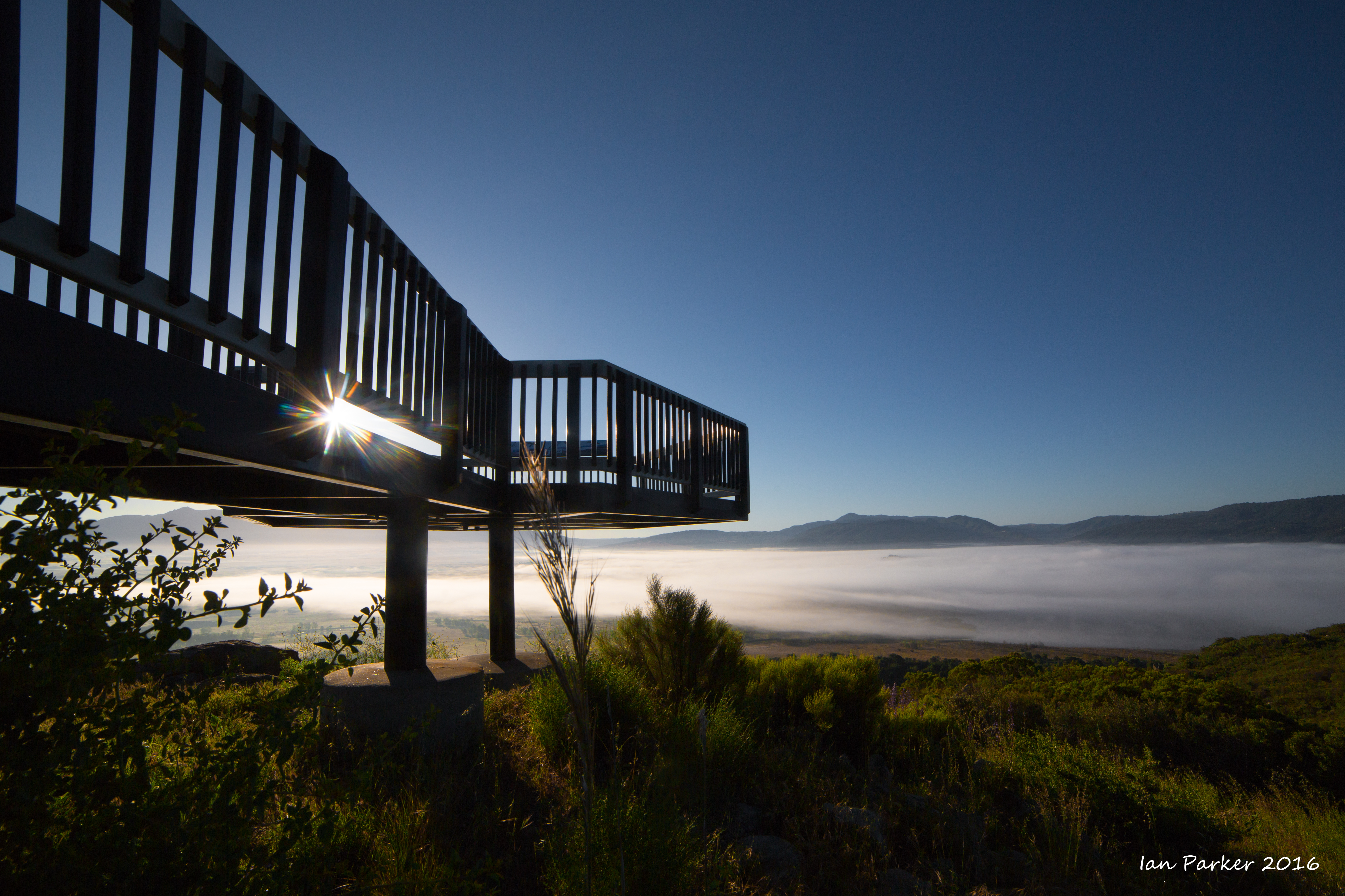
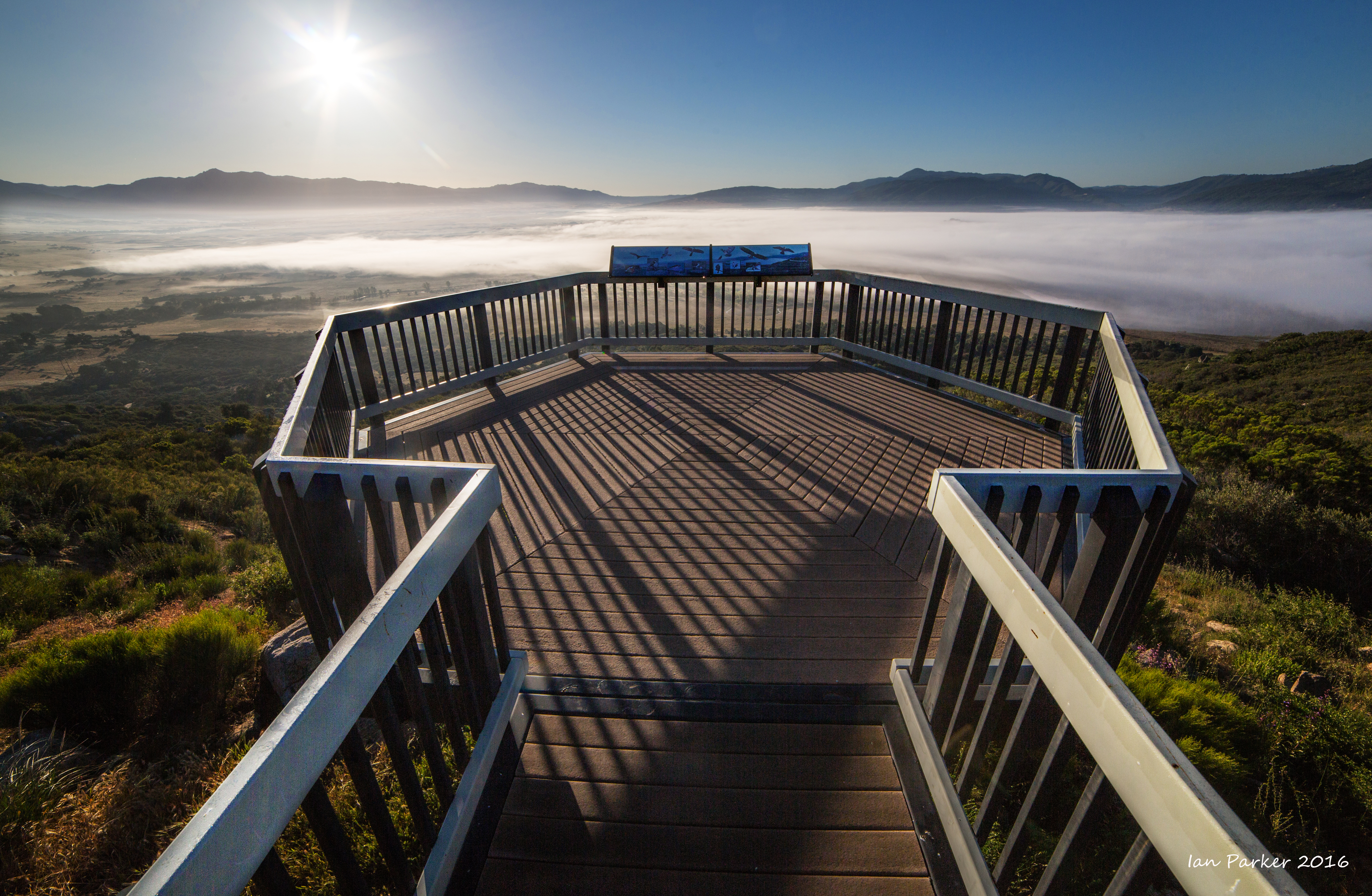
December 16; Volunteer Lagoon
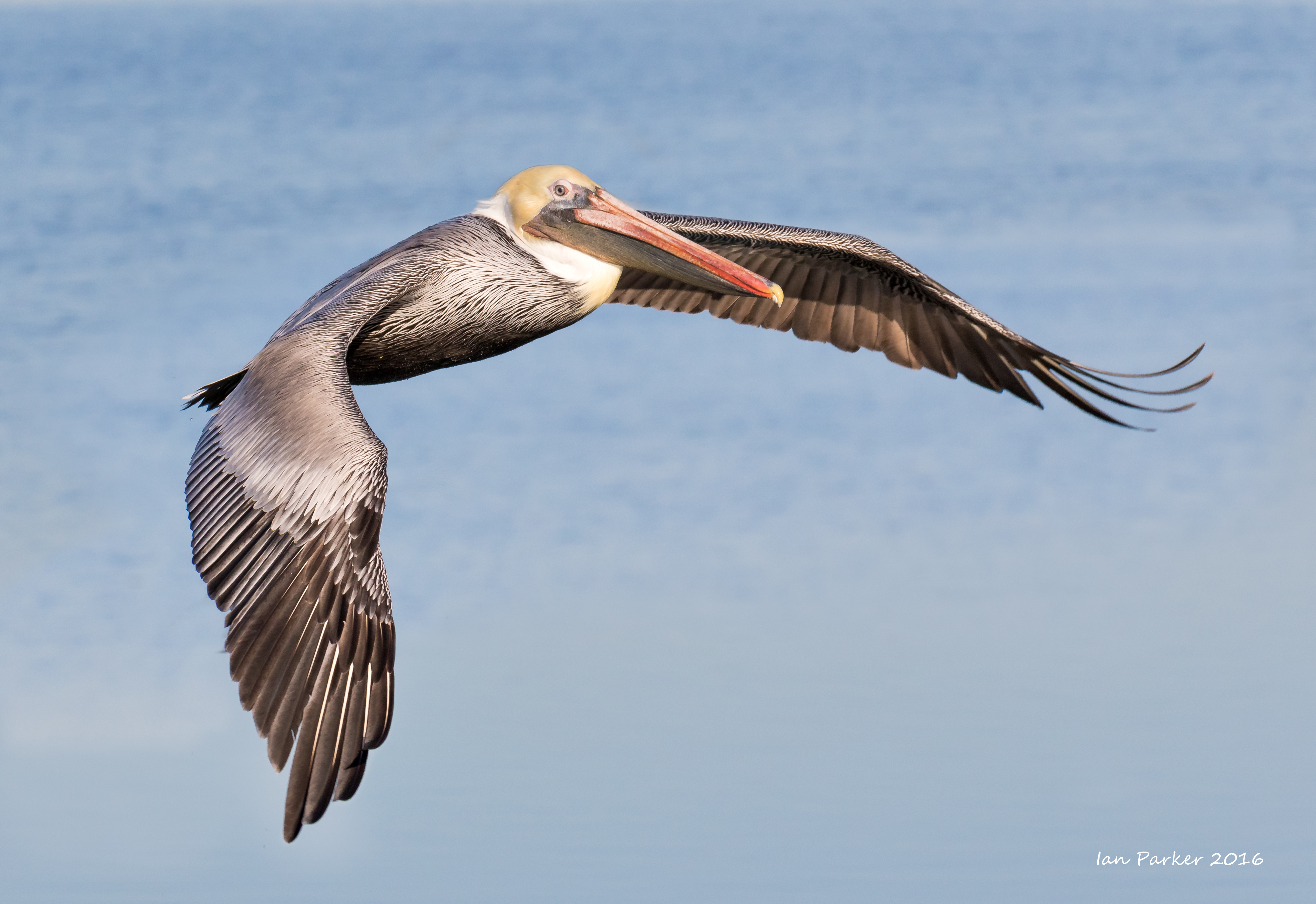
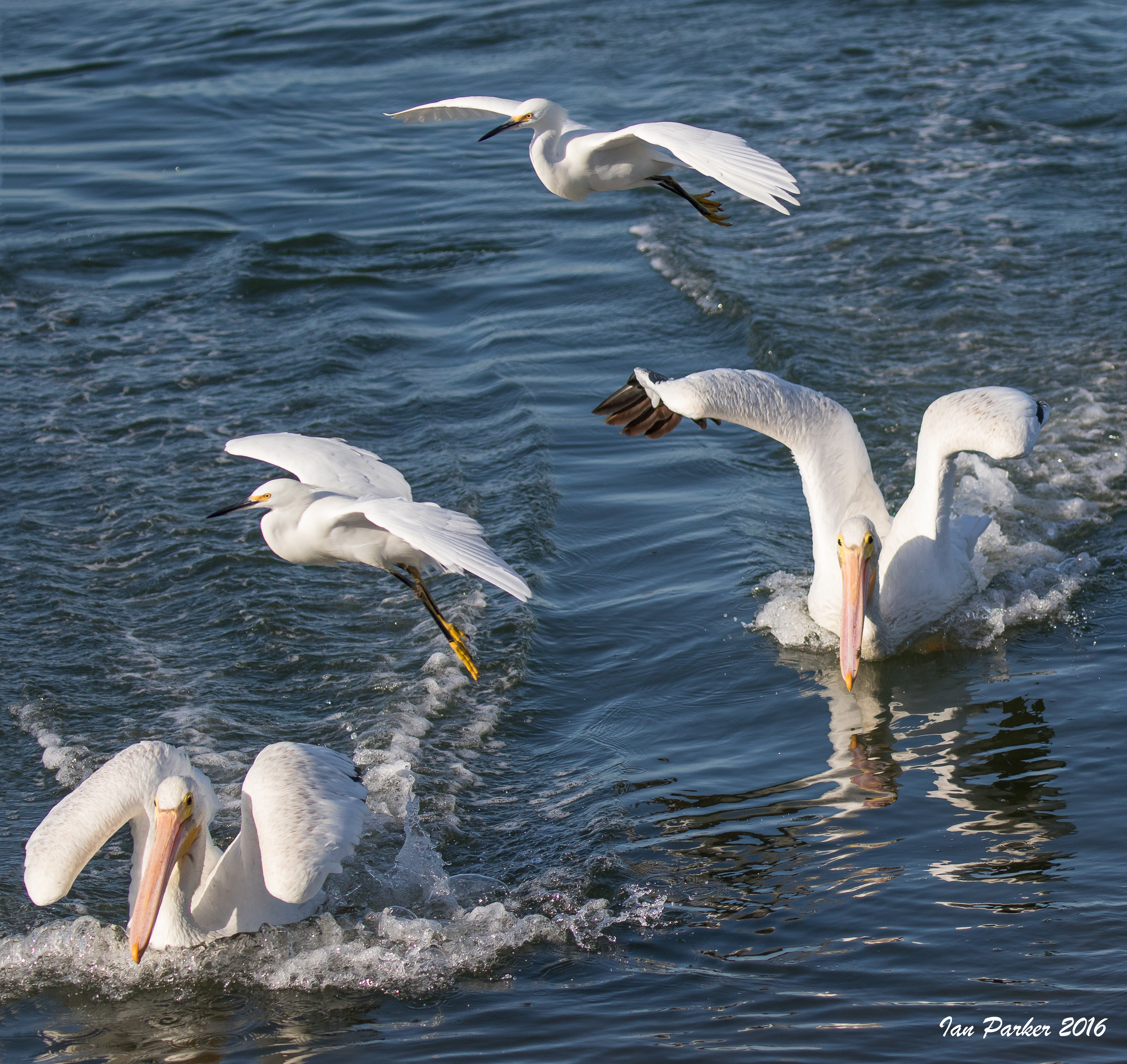
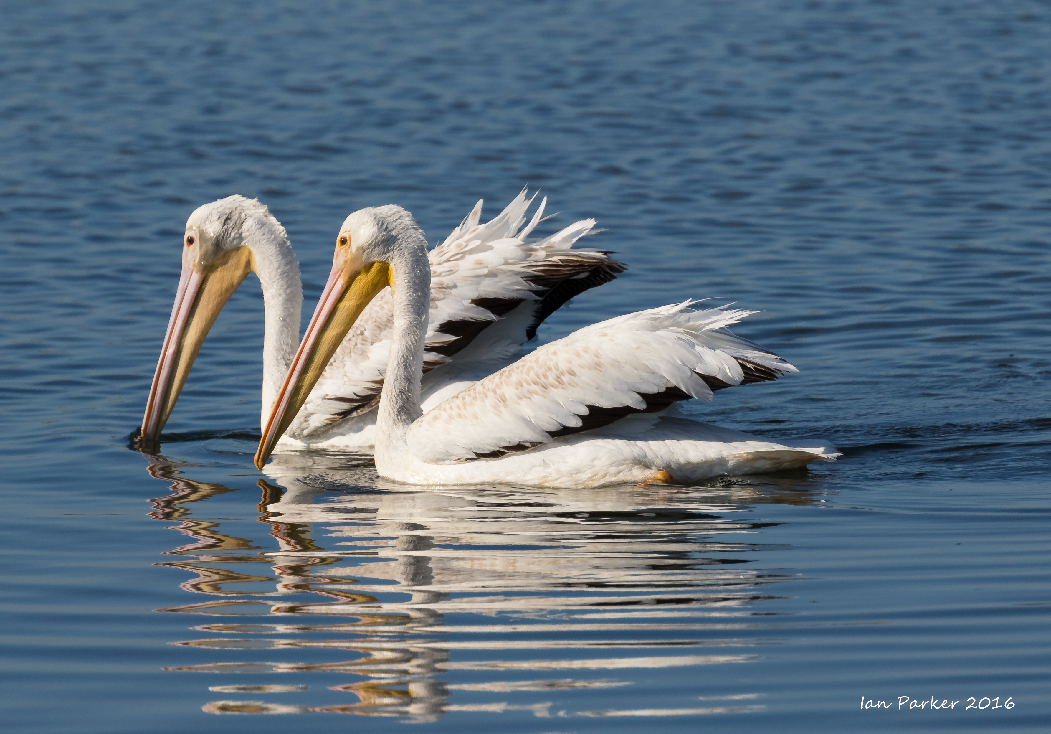
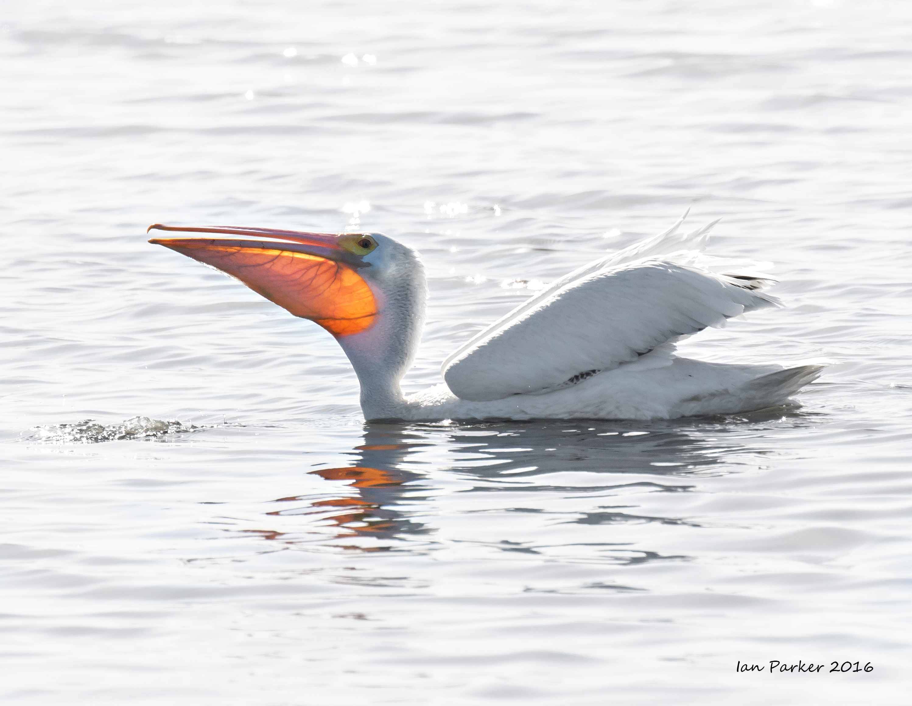
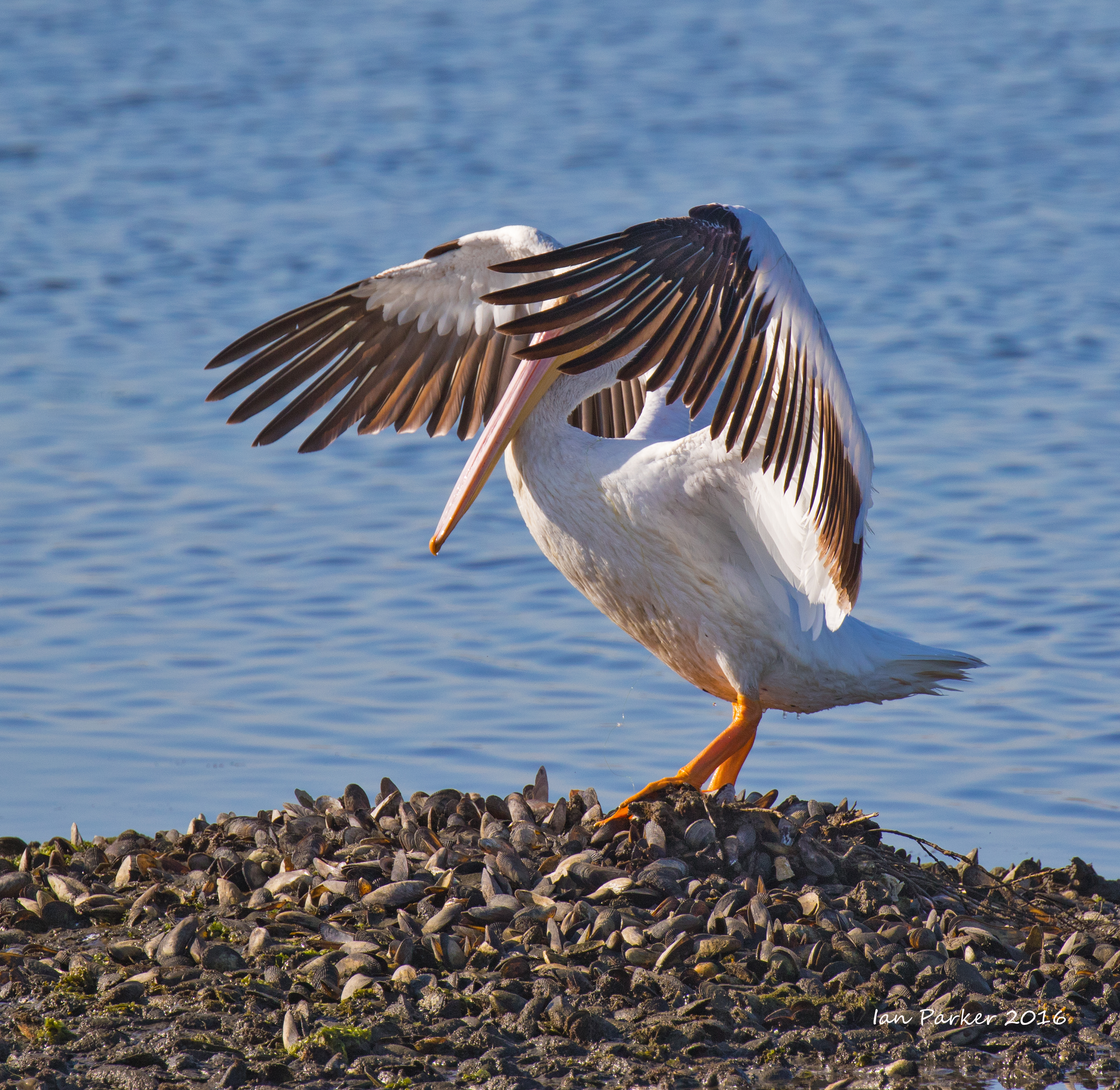
November 24; Thanksgiving morning at Bolsa Chica - a feeding frenzy with pelicans
November 22; UCI buildings under clearing storm
After an overnight storm the sky started to clear around sunrise. I walked into the campus early with my camera and 17 mm TS lens to do some 'architectural' photography with nice light and wet pavement to give reflections.
Some shots worked well with a b/w conversion.
November 13; Back at Bolsa Chica
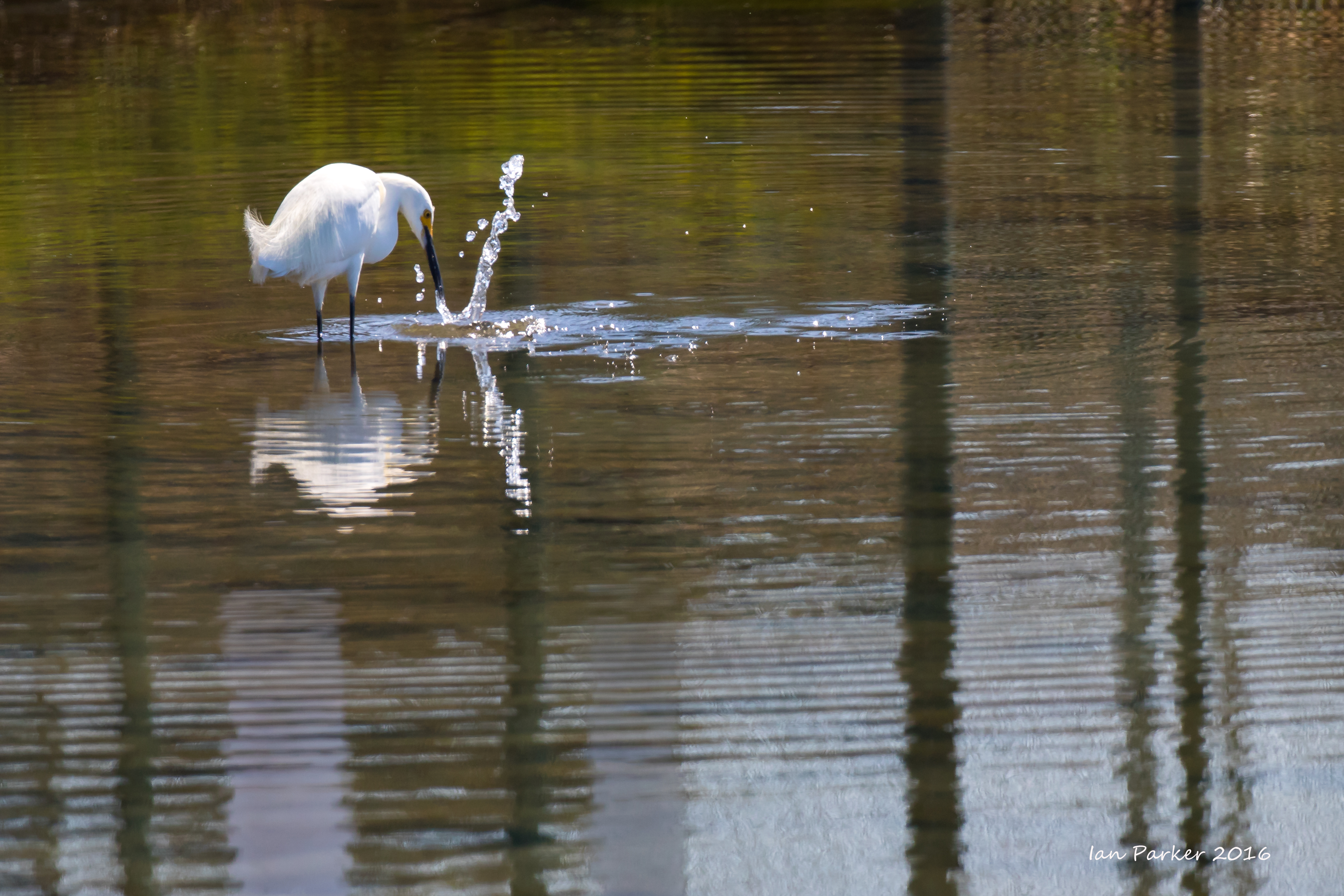
October 9; A suprisingly active morning at Bolsa Chica
September 13-20; Arizona, Utah
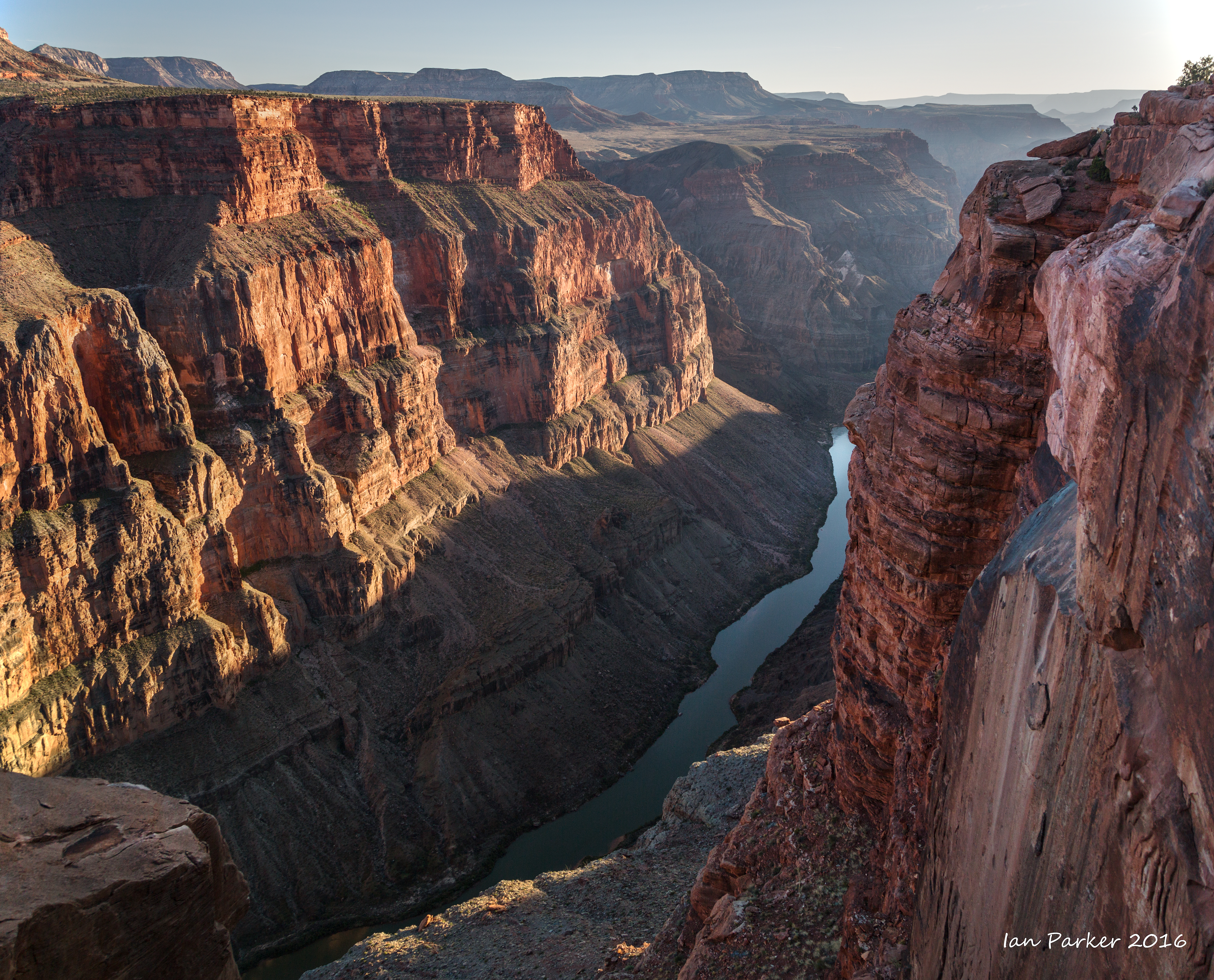
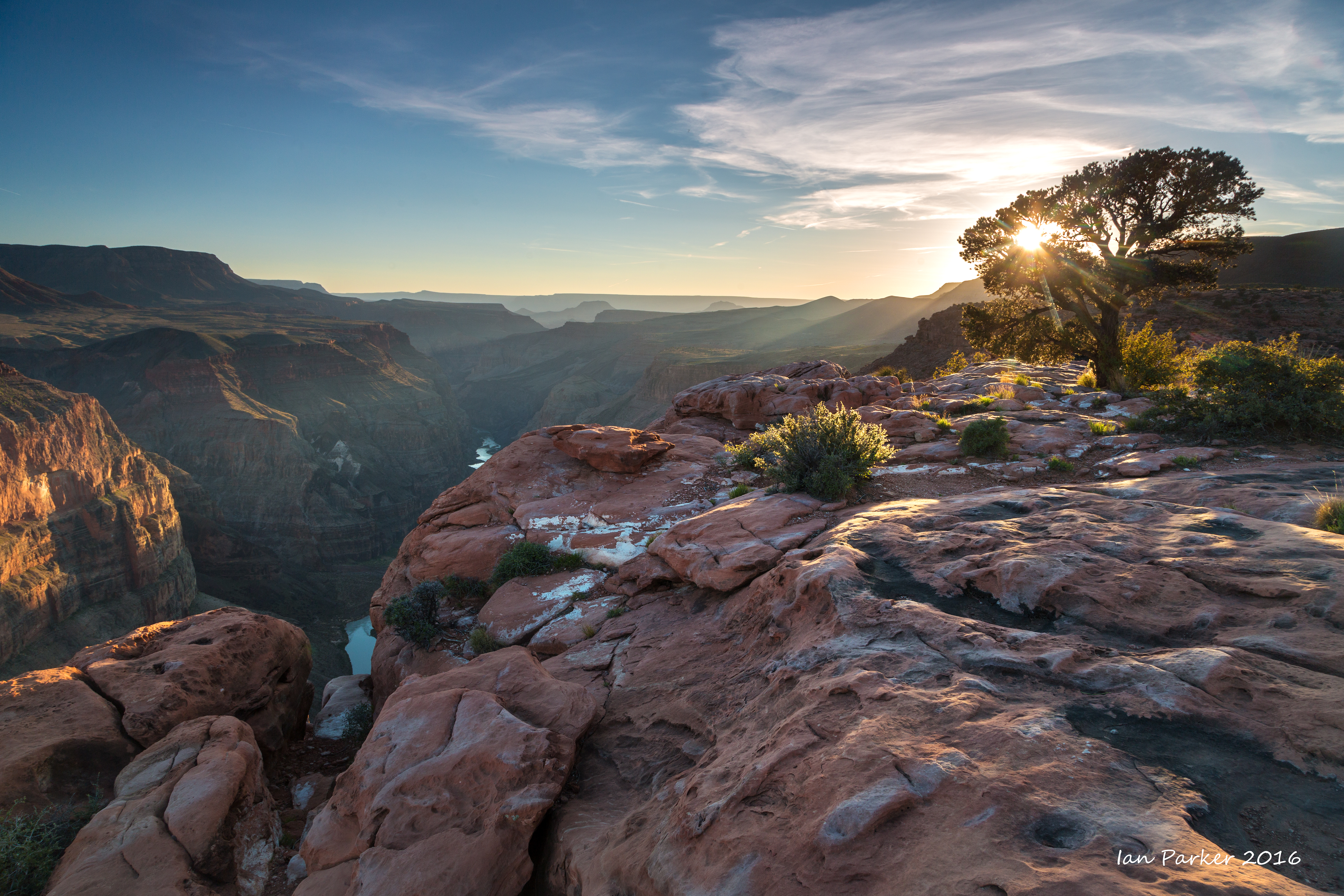
My motivation (excuse) for the timing of this trip was an astronomical convergence: around the middle of September each year the setting sun cast a shadow of the West Mitten formation in Monument Valley onto the matching East Mitten. This year, that would coincide with the rising of a near-full harvest moon... Its a long drive from California out to Monument Valley, so I made an overnight stop by the Grand Canyon. The night was perfectly clear, and I was not expecting any great conditions for photography when I set out before dawn for the canyon rim as it really needs some drama in the sky to show off the canyon to best effect. However, clouds began to build around first light, leaving a thin gap to the east, which created some remarkable sunbeams shortly after sunrise.
Onwards to Monument Valley the next day, with a lunch stop at the Cameron Trading Post for a bowl of green chile stew with Navajo fry-bread.
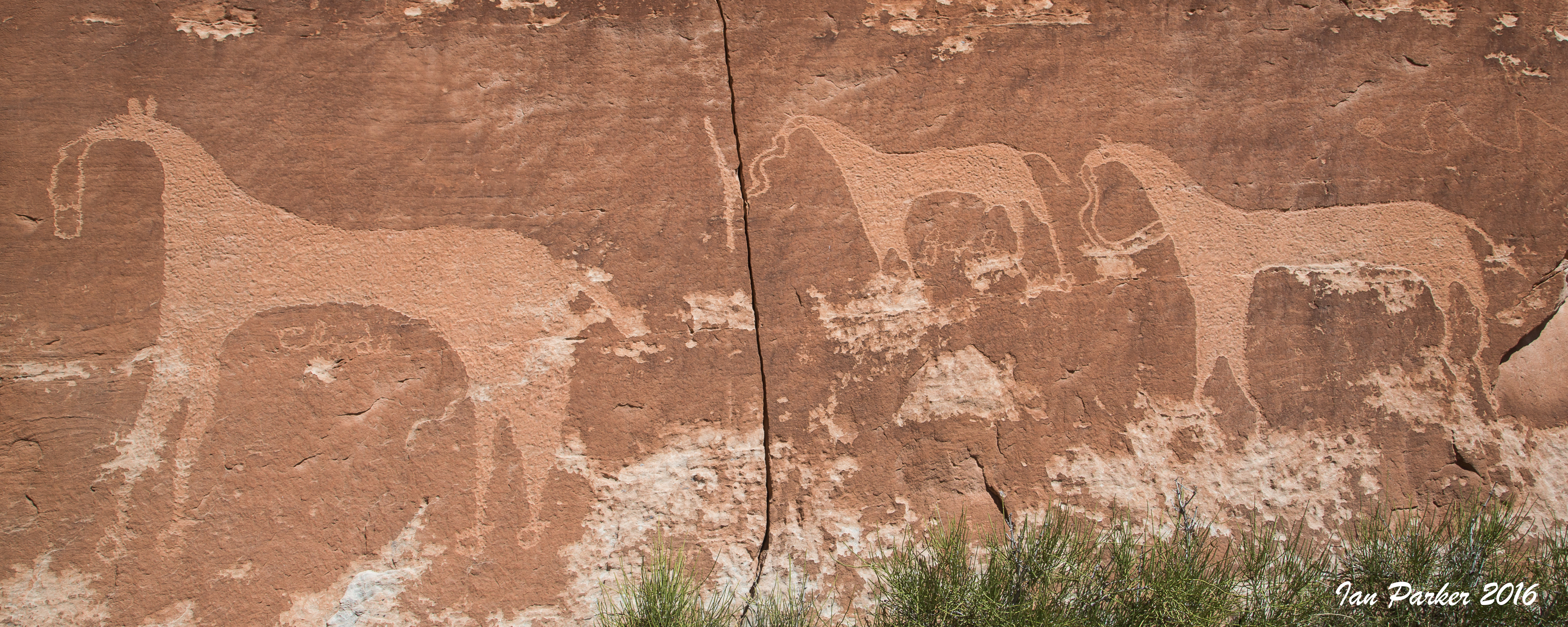
Across the State Line into Utah. My initial objective was a photogenic Anasazi granary in Beef Basin. In retrospect, the shorter and more scenic route would have been over the Bear's Ears and Manti LaSal mountains, but I took a longer route around on paved roads to Indian Creek. Passing through Bluff I took a short hike and rough scramble to view some elegantly fluid horse petroglyphs.
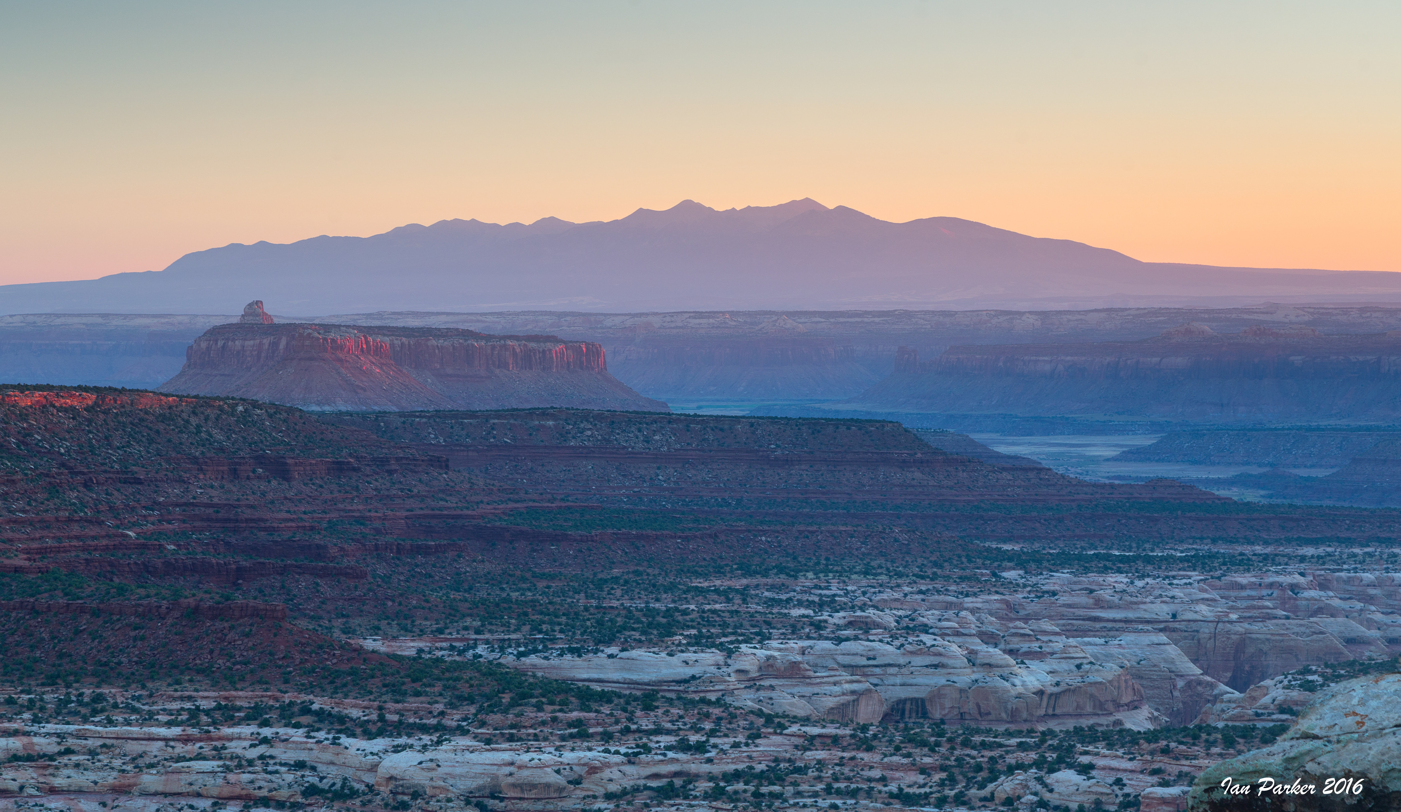
I camped for the night near an extensive viewpoint
along the way to Beef Basin. I had hoped to arrive at the viewpoint before sunset, but was a little late and did not want to tackle the rock-steps on the spur road in fading light. So, only sunrise photos.
Three views of the little granary in Beef Basin
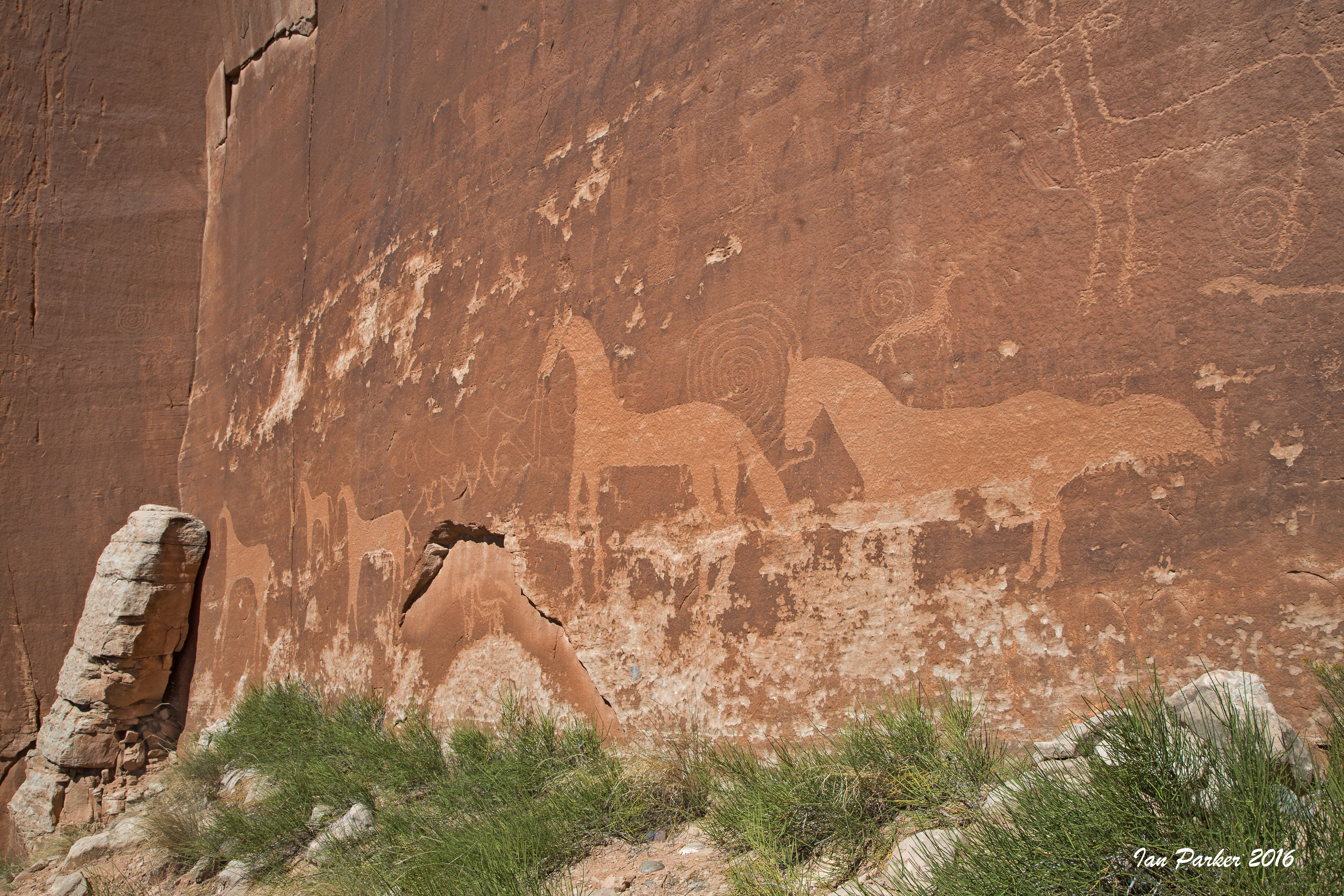
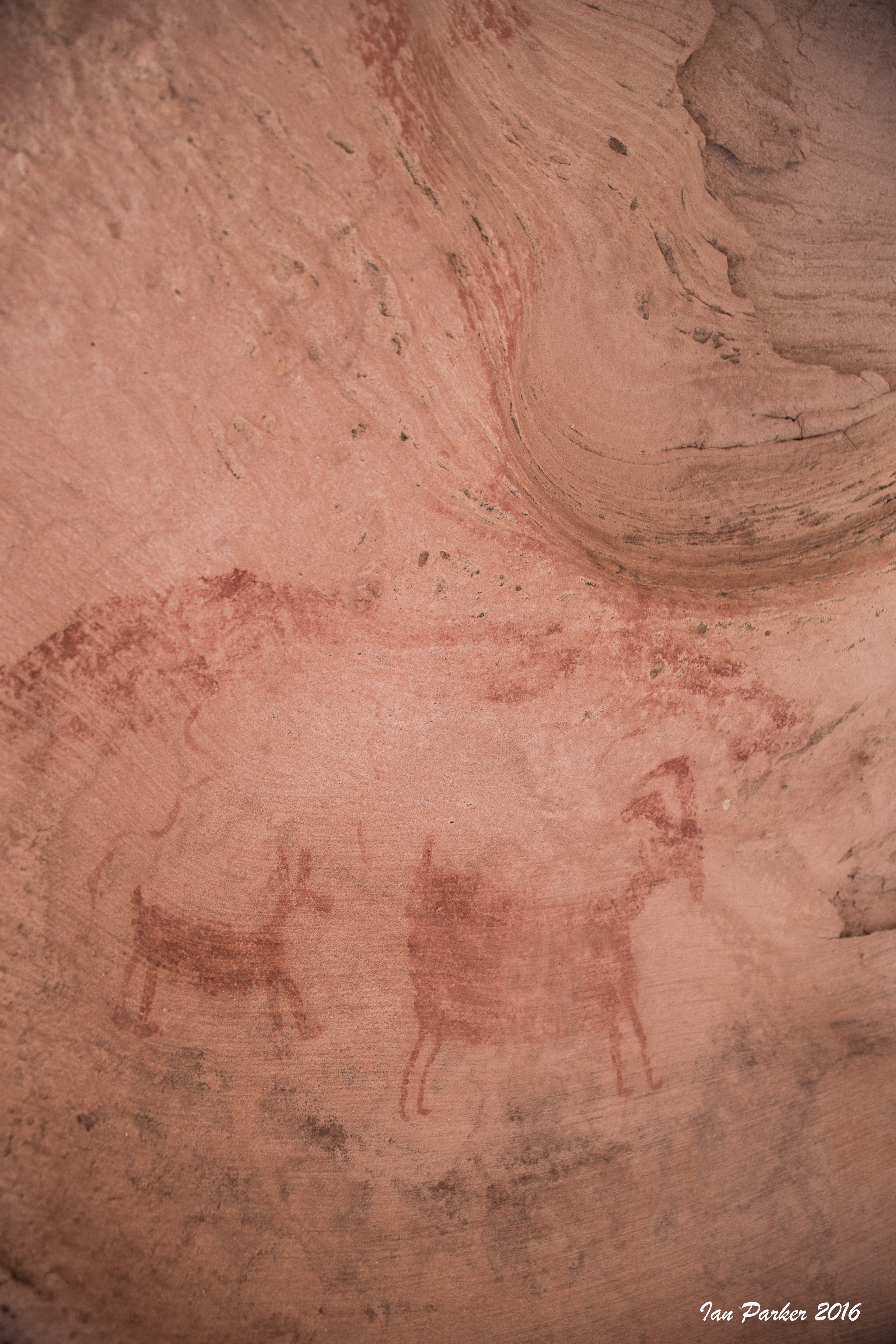
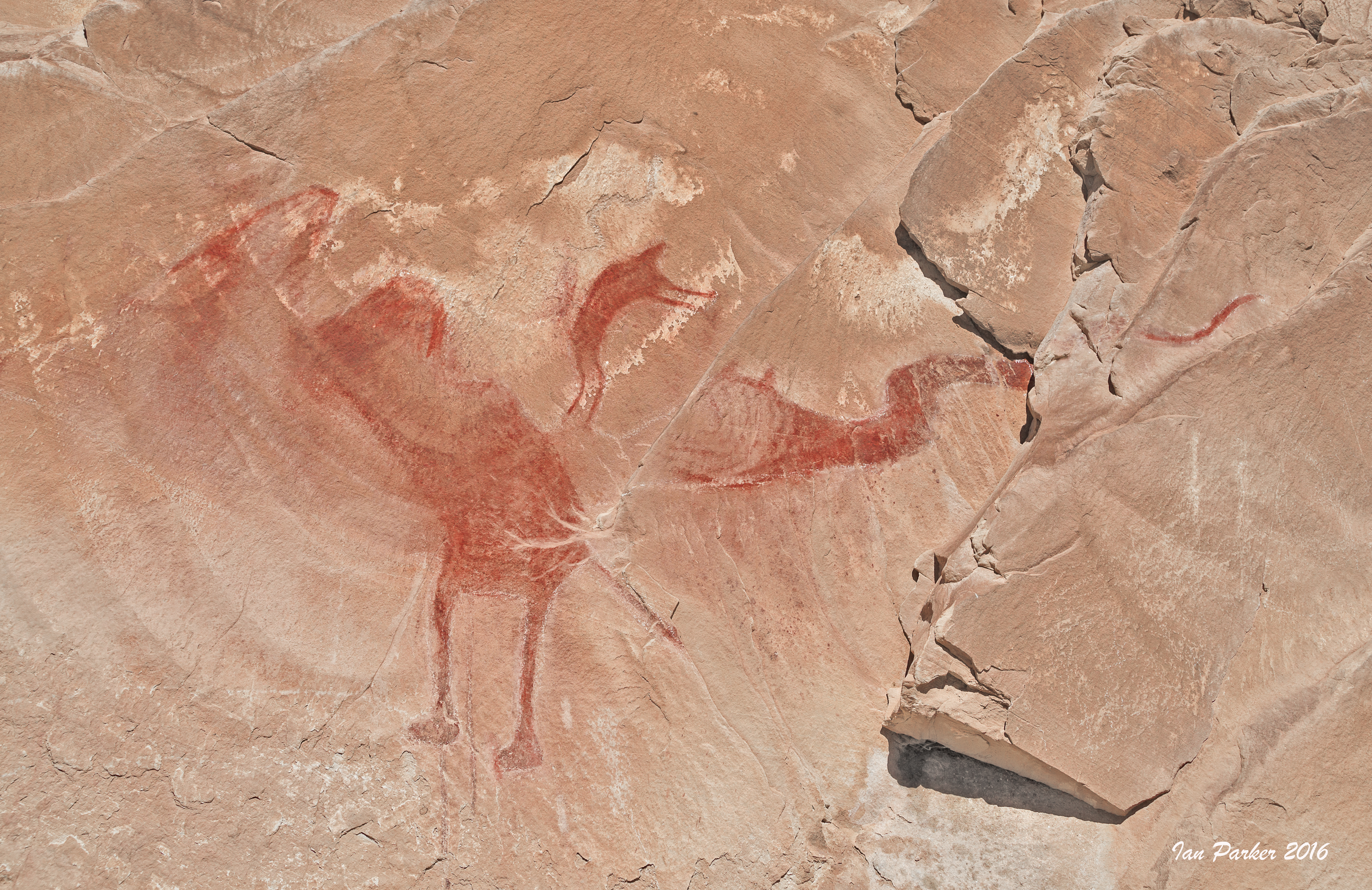
A selection of rock art from various locations around Canyonlands, Moab, Green River and San Rafael Reef
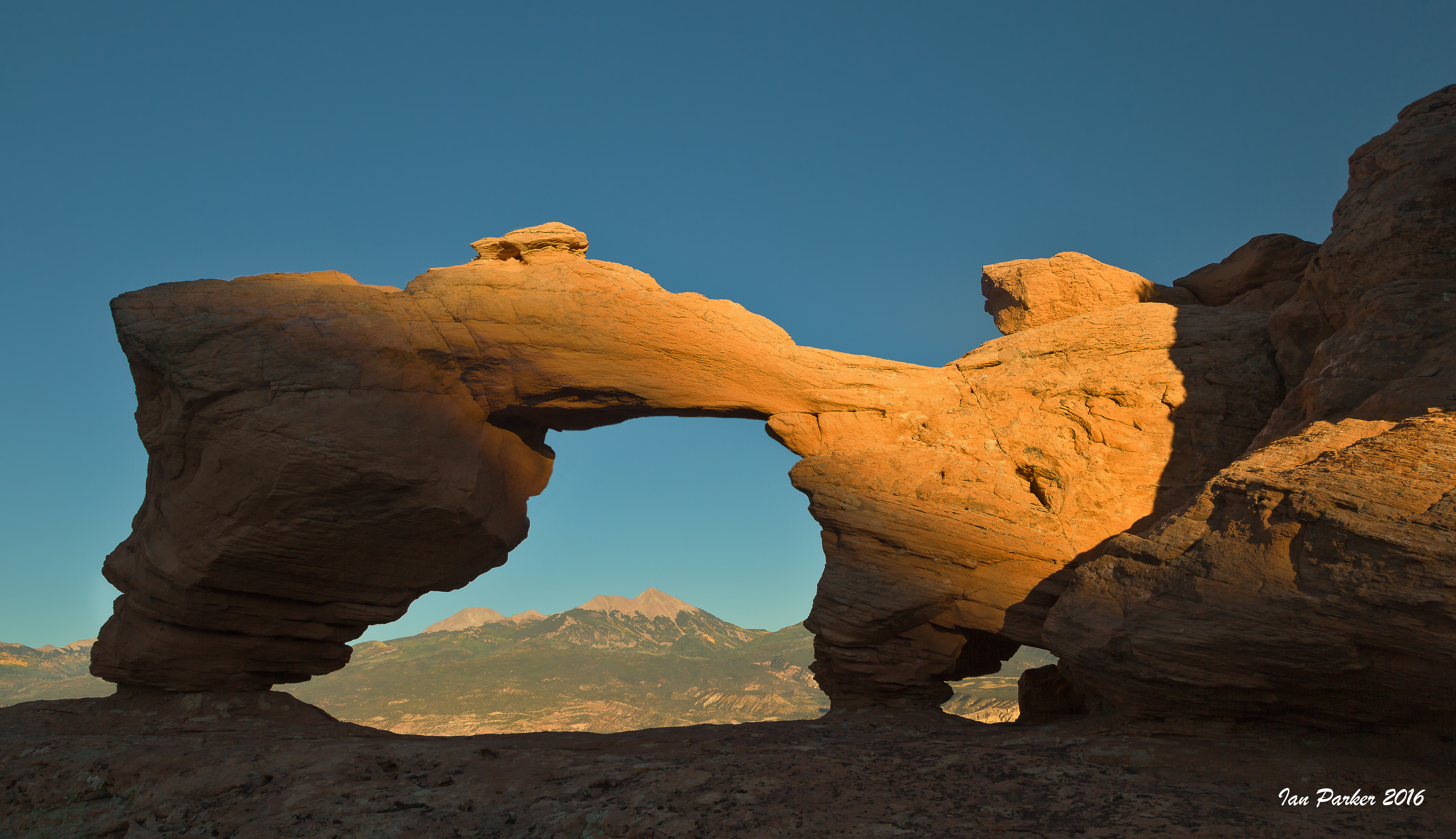
Tutuhnikivatz Arch had long been on my list of places to visit. Hiking in I thought I would have plenty of time to reach the arch before sunset, but on reaching the top of the steep scramble to the ridge I found the arch was already becoming shadowed as the sun set behind rocks to the west.
August 12-13; Alabama Hills
Overnight in the Alabama Hills, planning to photography the Perseid meteor shower, but we were a day after the peak and the display was rather disappointing. I woke at 1:30 am, just before monset, and went to scout a good location. There were a couple of cars parked at the trailhead for Mobius Arch, so I thought that would already have photographers in residence. Seeking solitude I drove on to Boot Arch, which I had to myself. I set my camera for 30s exposures, and left it running until first light of dawn. Scanning through the hundreds of exposures I found only a few had captured meteors, and those faint and with short tails. Annoyingly, Michael Fry got a great meteor shot from exactly the same location the previous night after waiting only 30 minutes! Anyhow, the dawn light on the Sierras was nice, and I had fun light-painting Boot Arch, and then taking wide angle shots tucked into the very back of nearby Cyclops Arch.
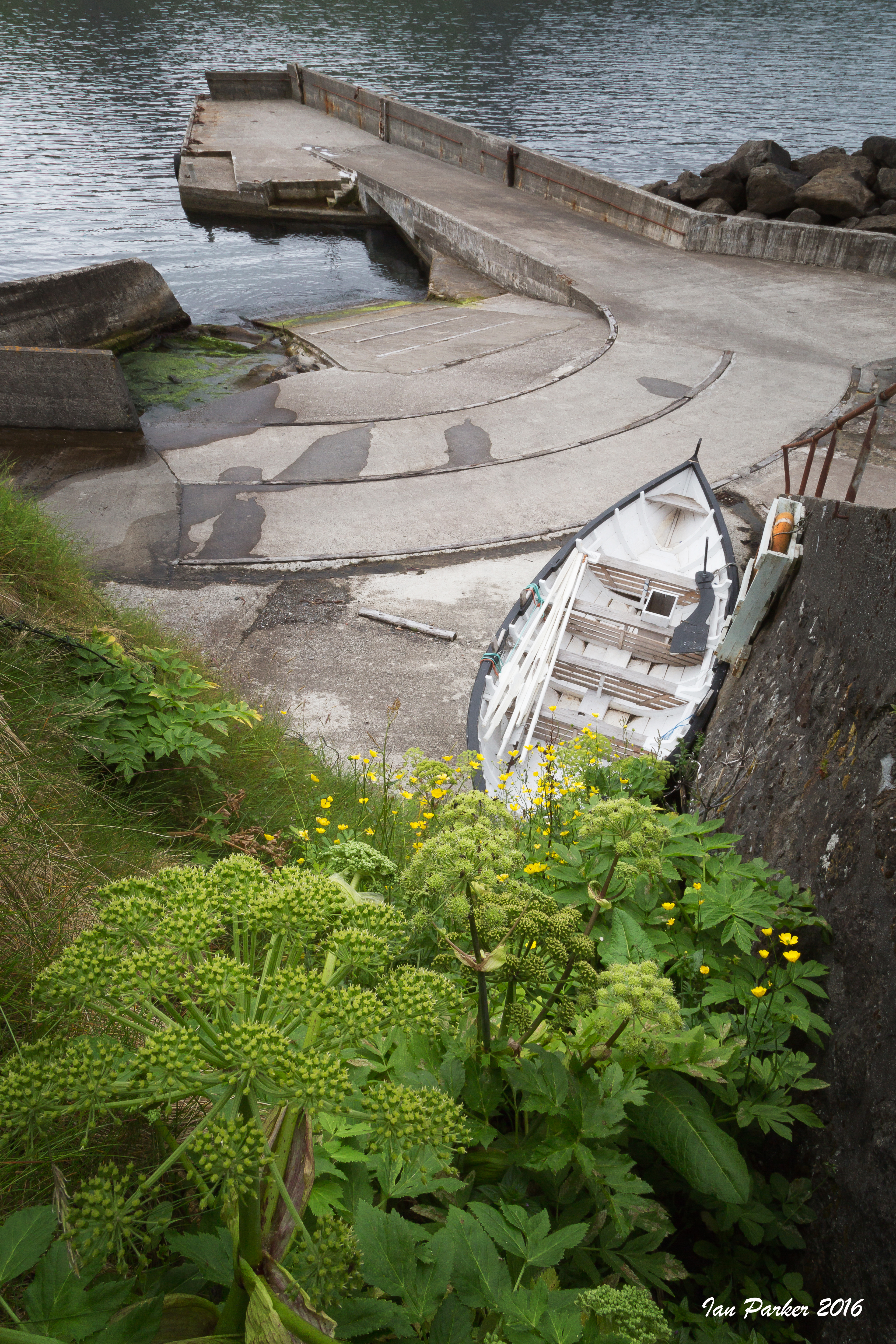
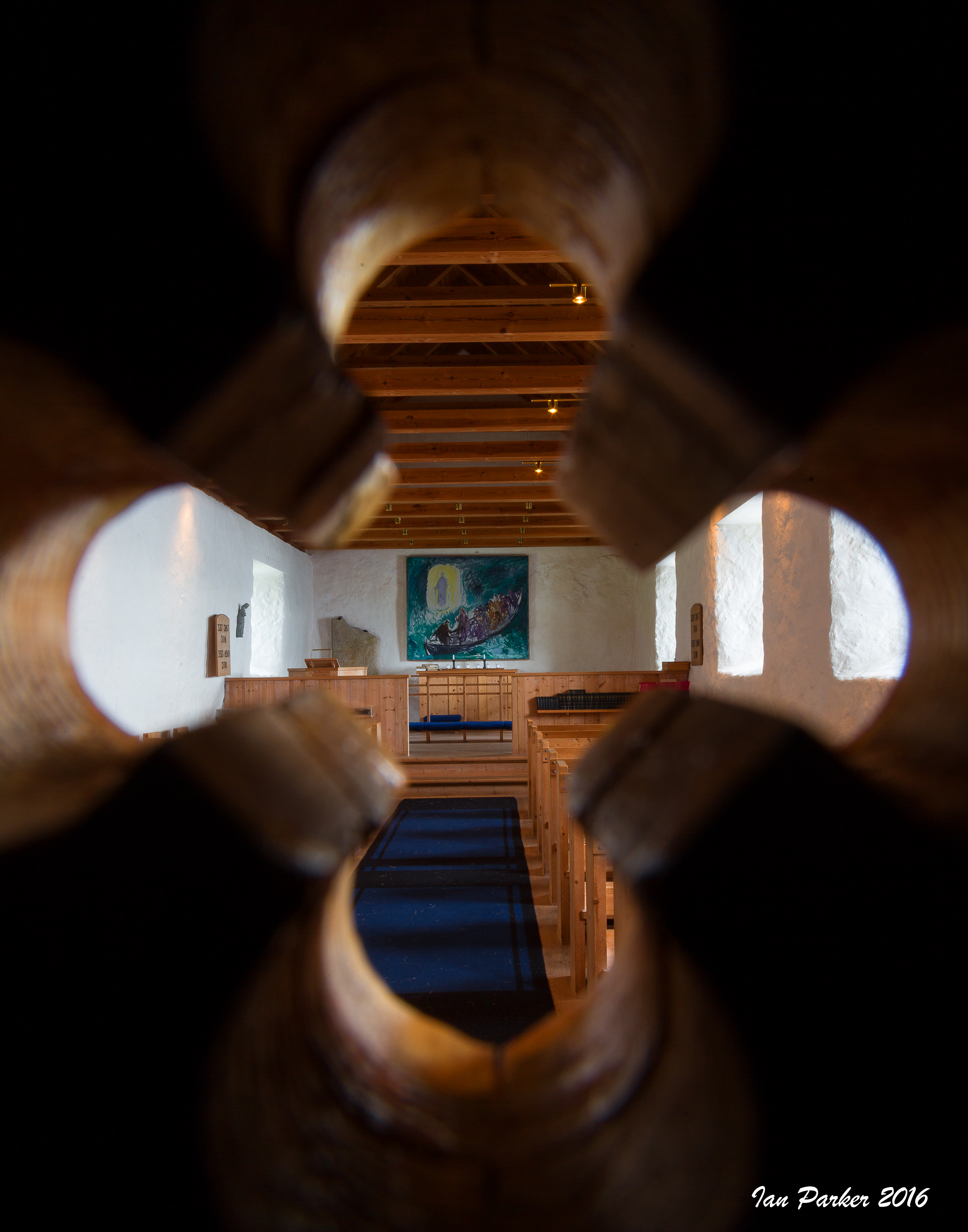
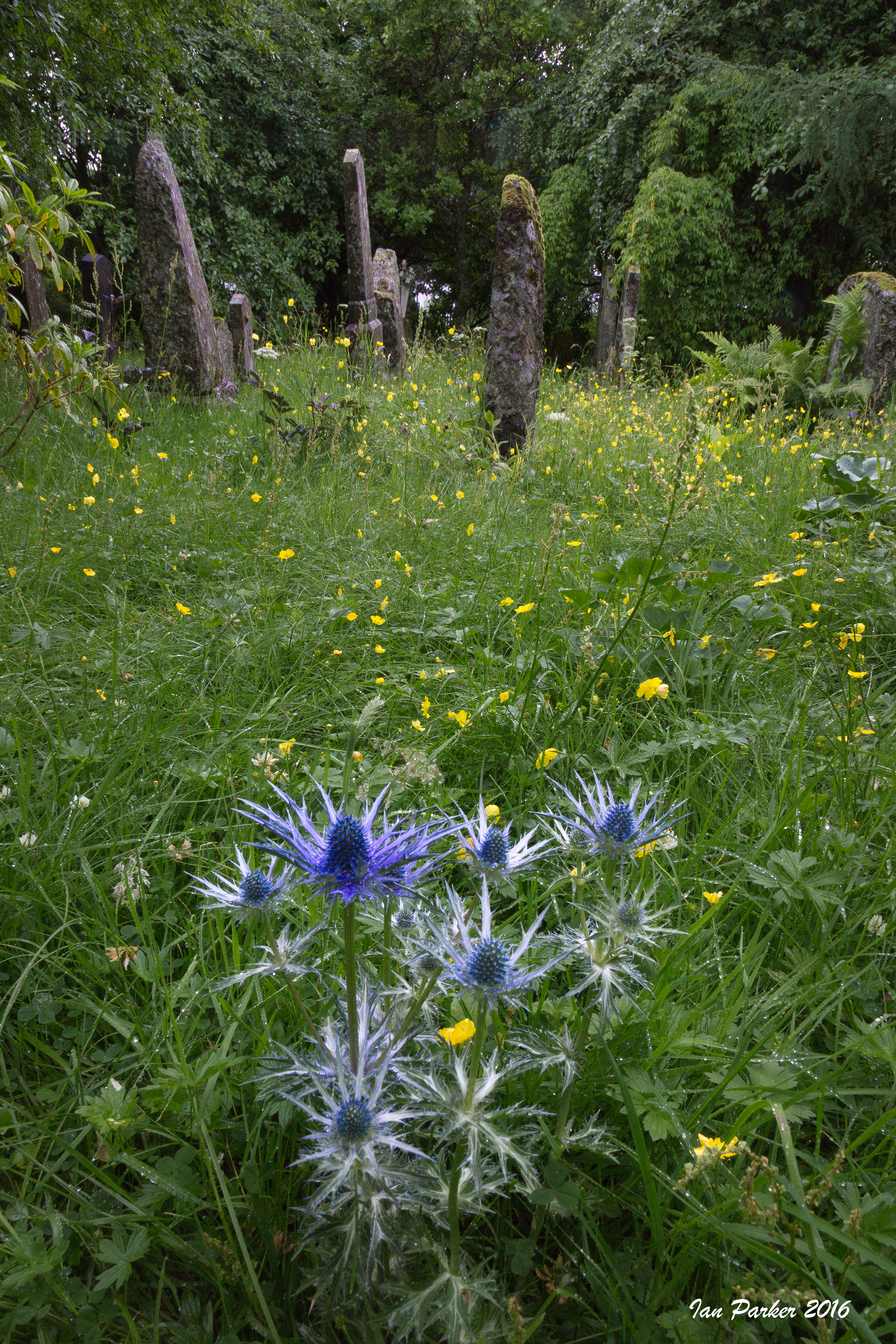
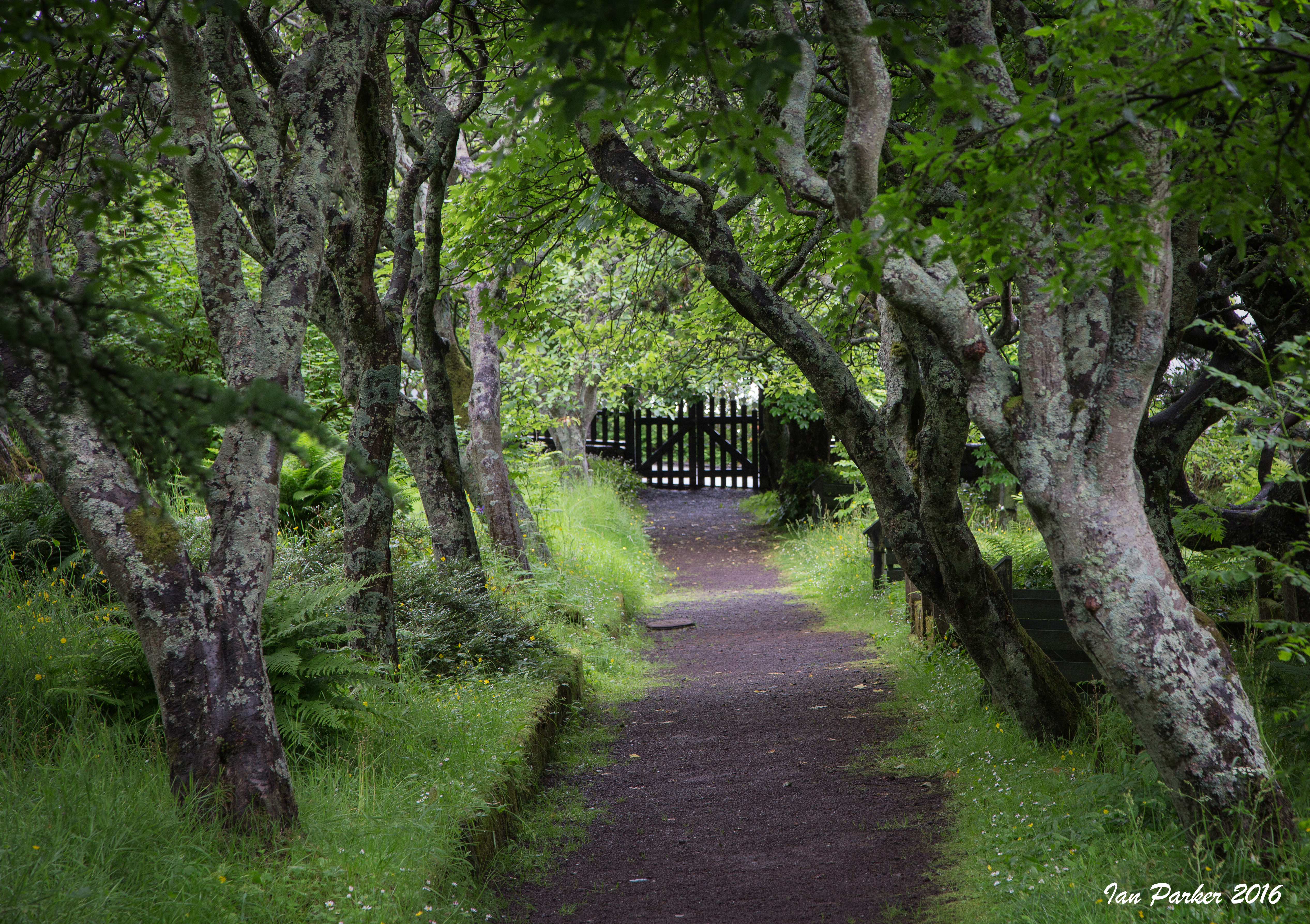
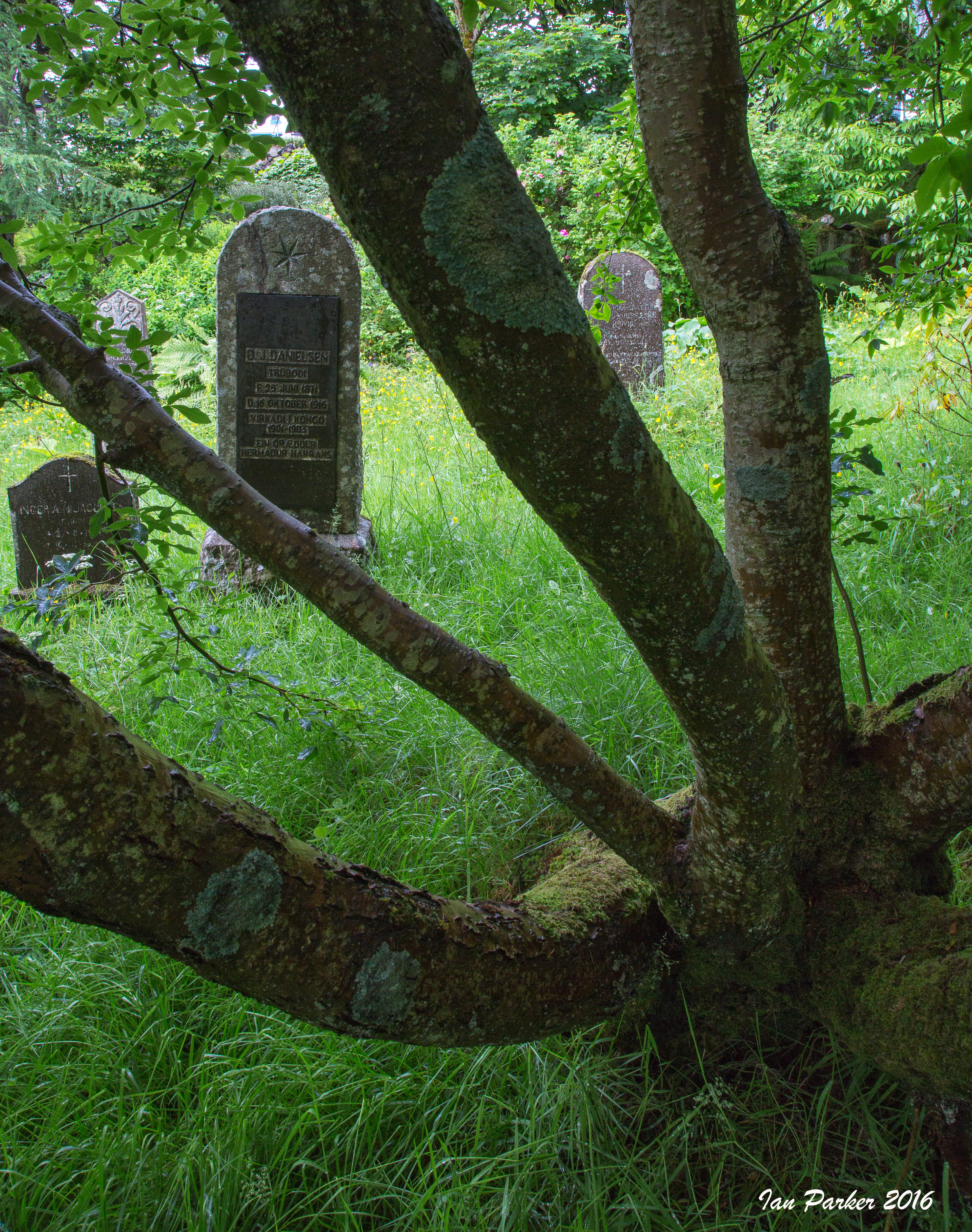
July 7-26; England, briefly, then the Faroe Islands
Just a few random photos from our time in England - we had other things than photography on our minds...
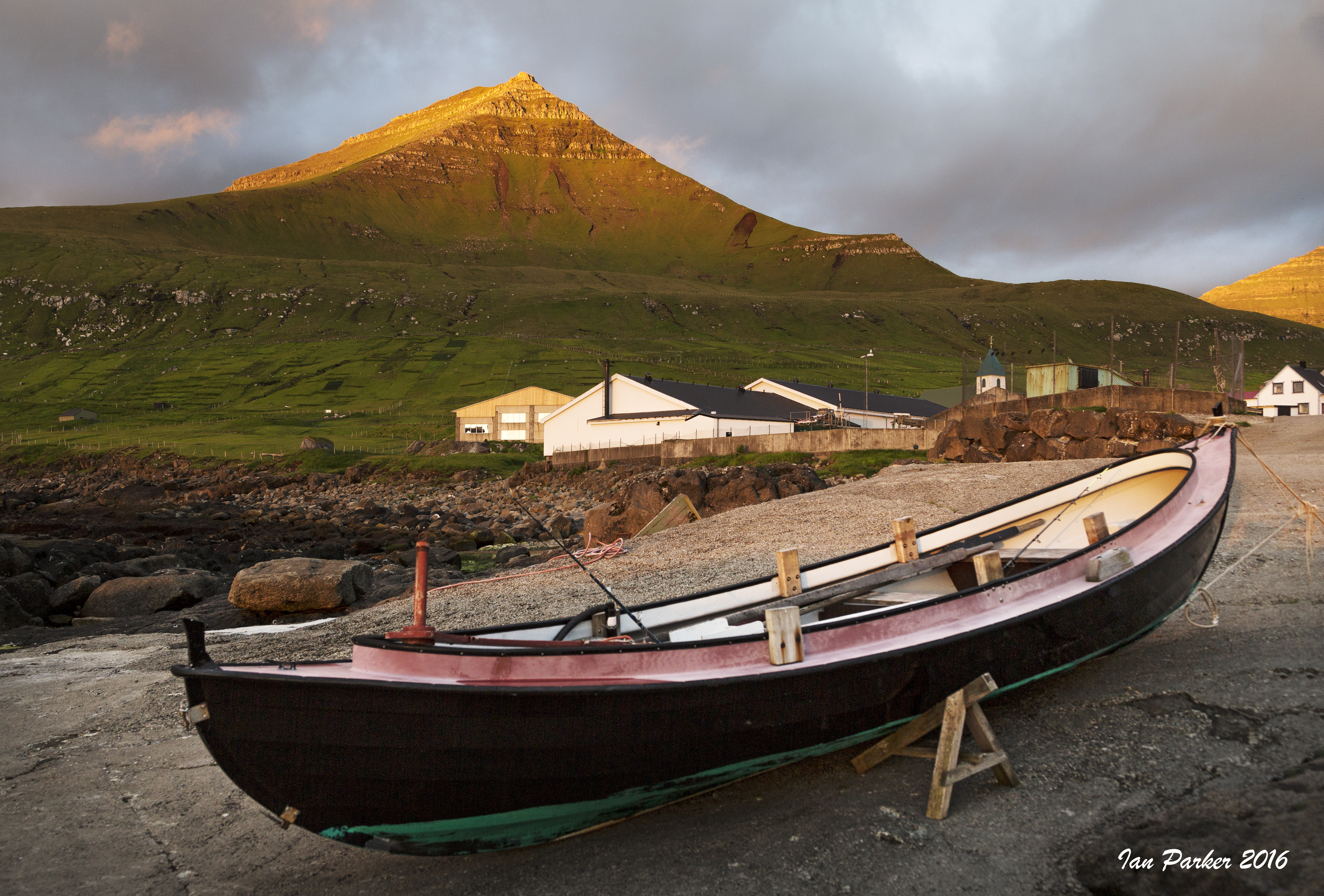
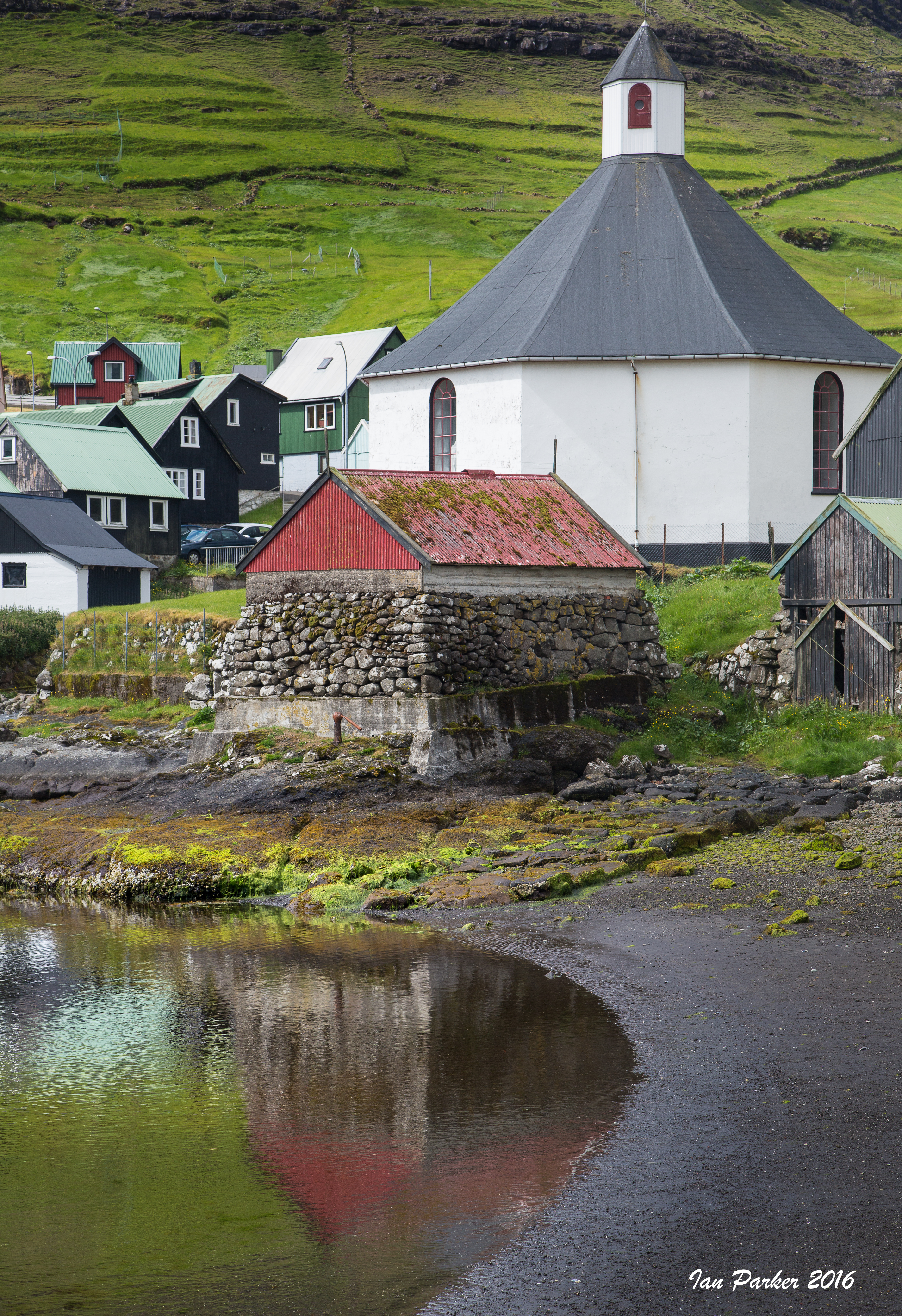
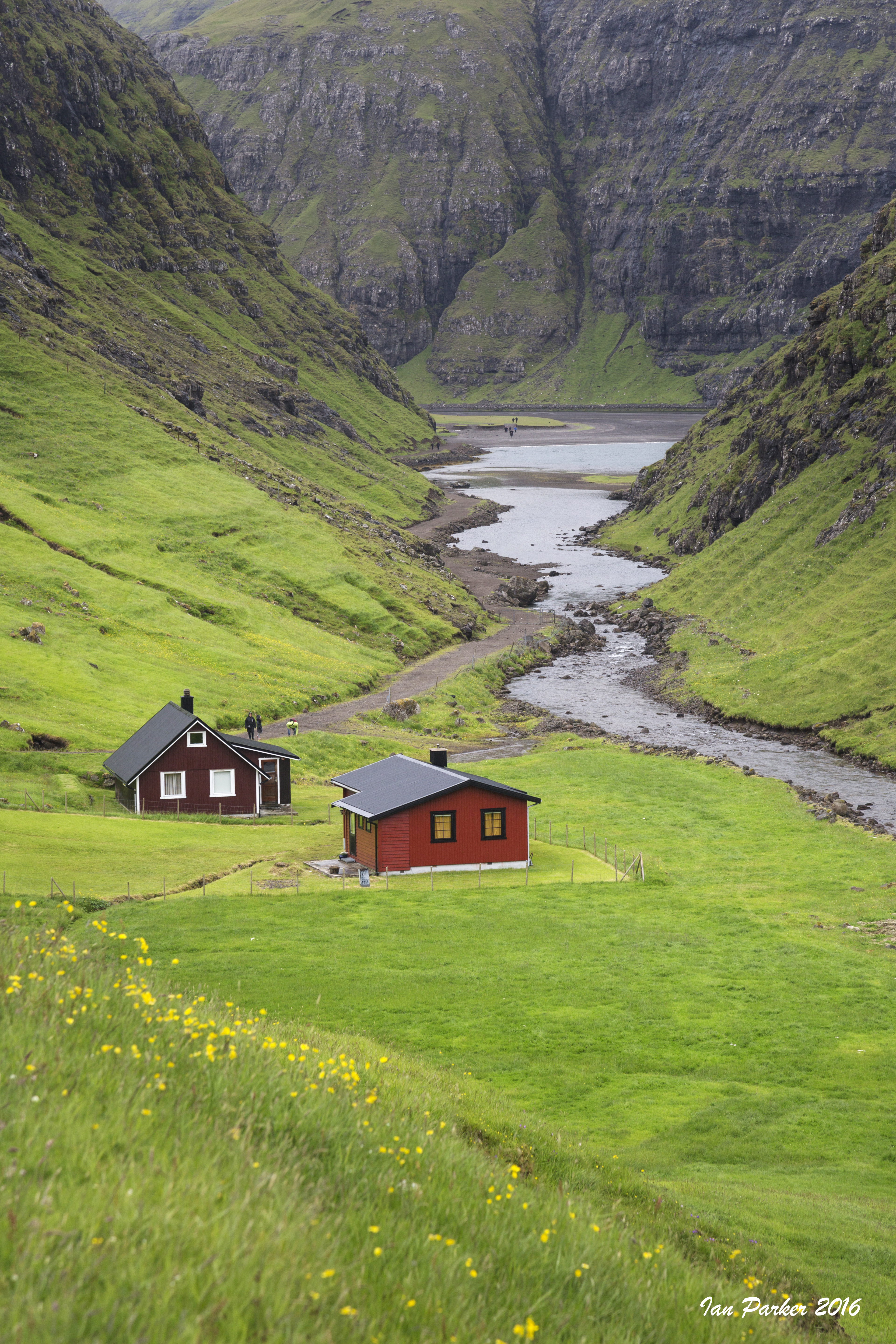
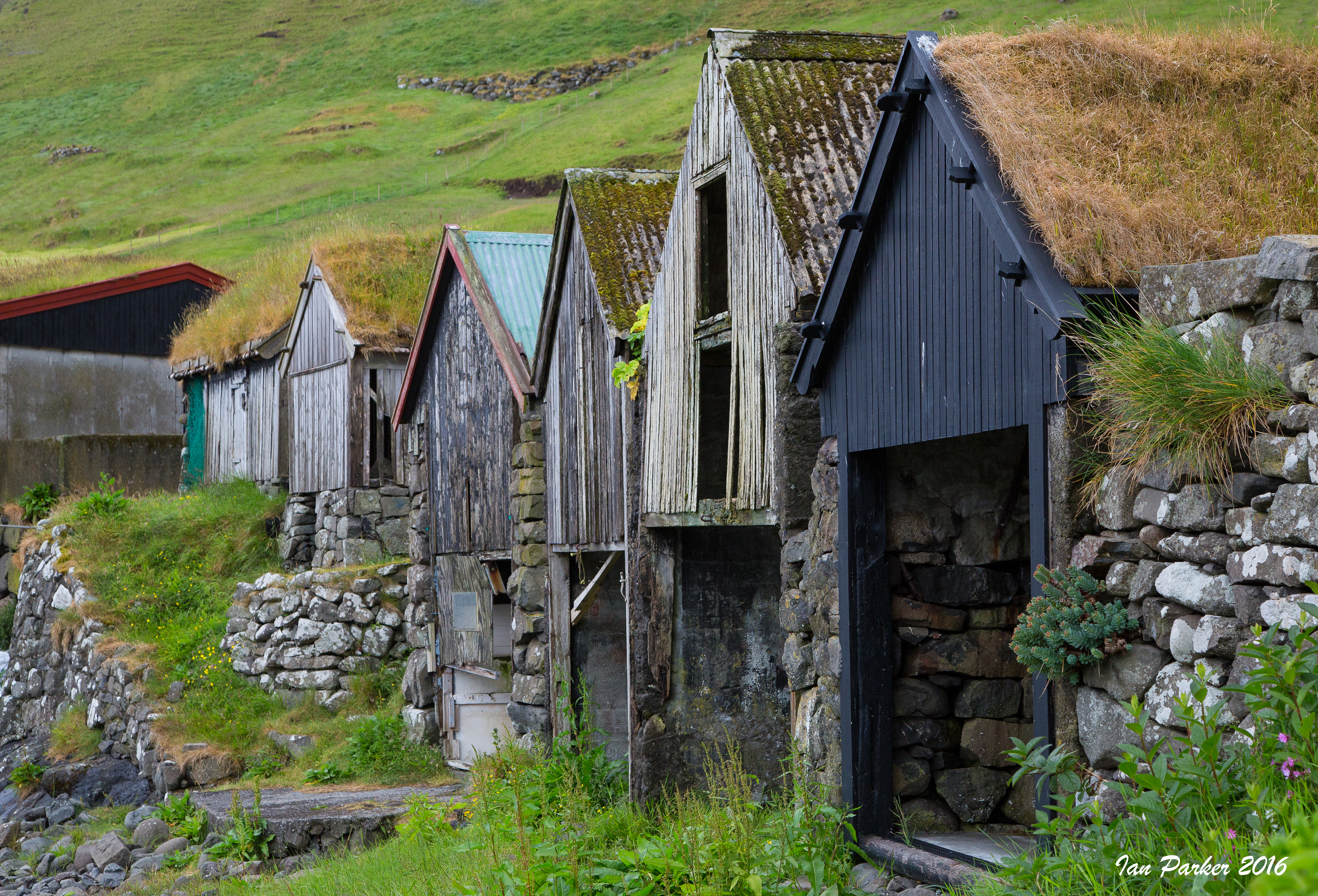
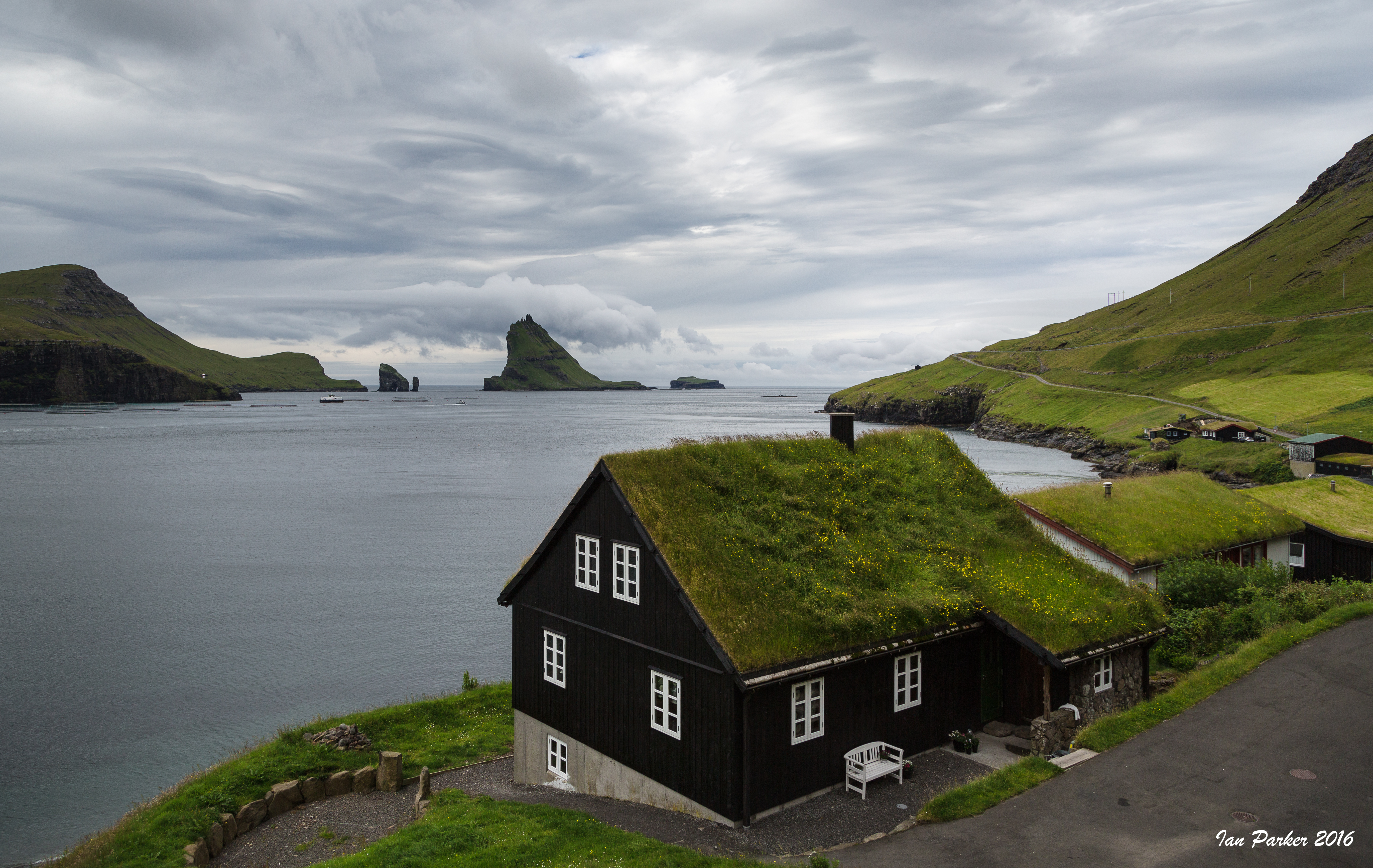
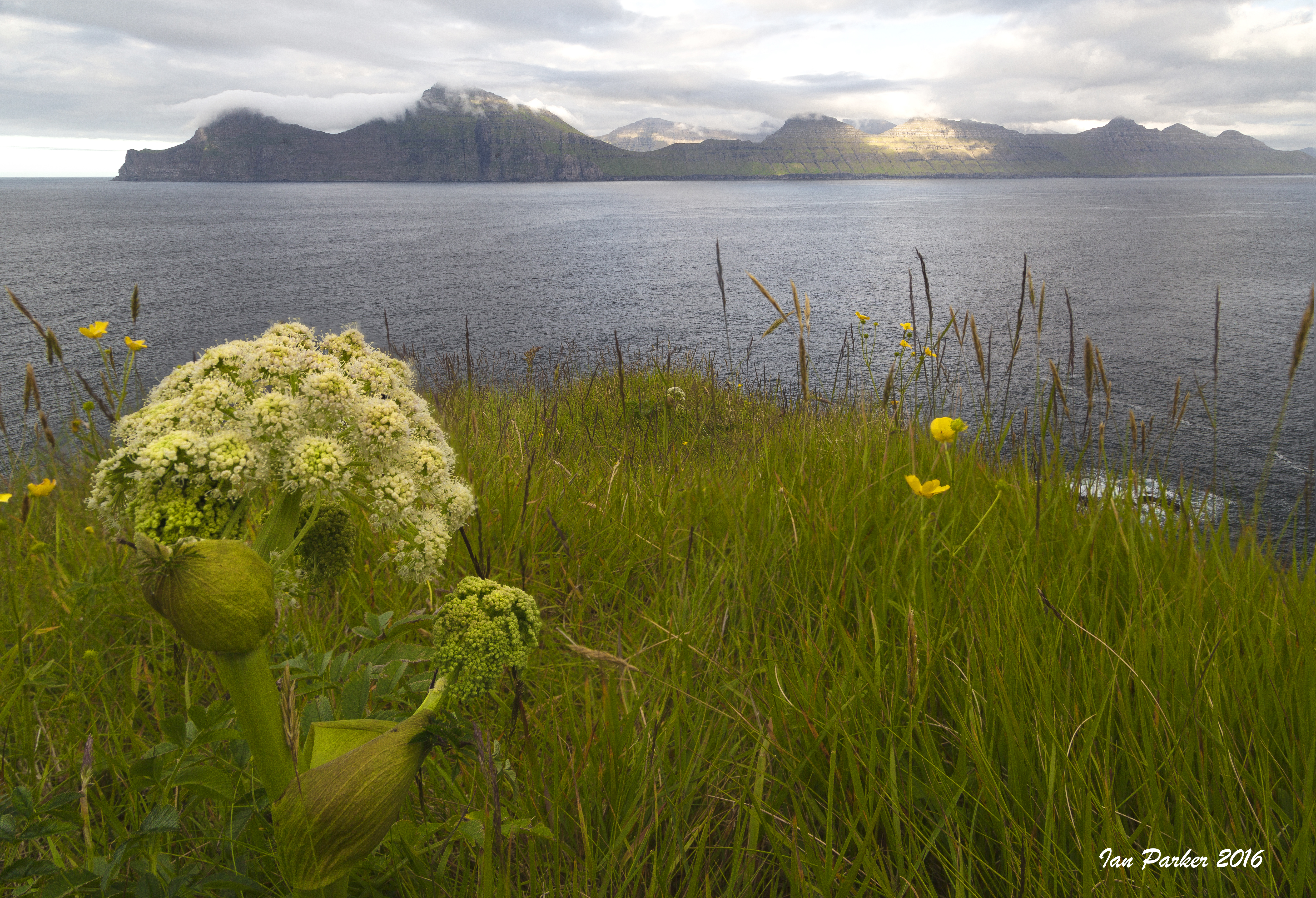
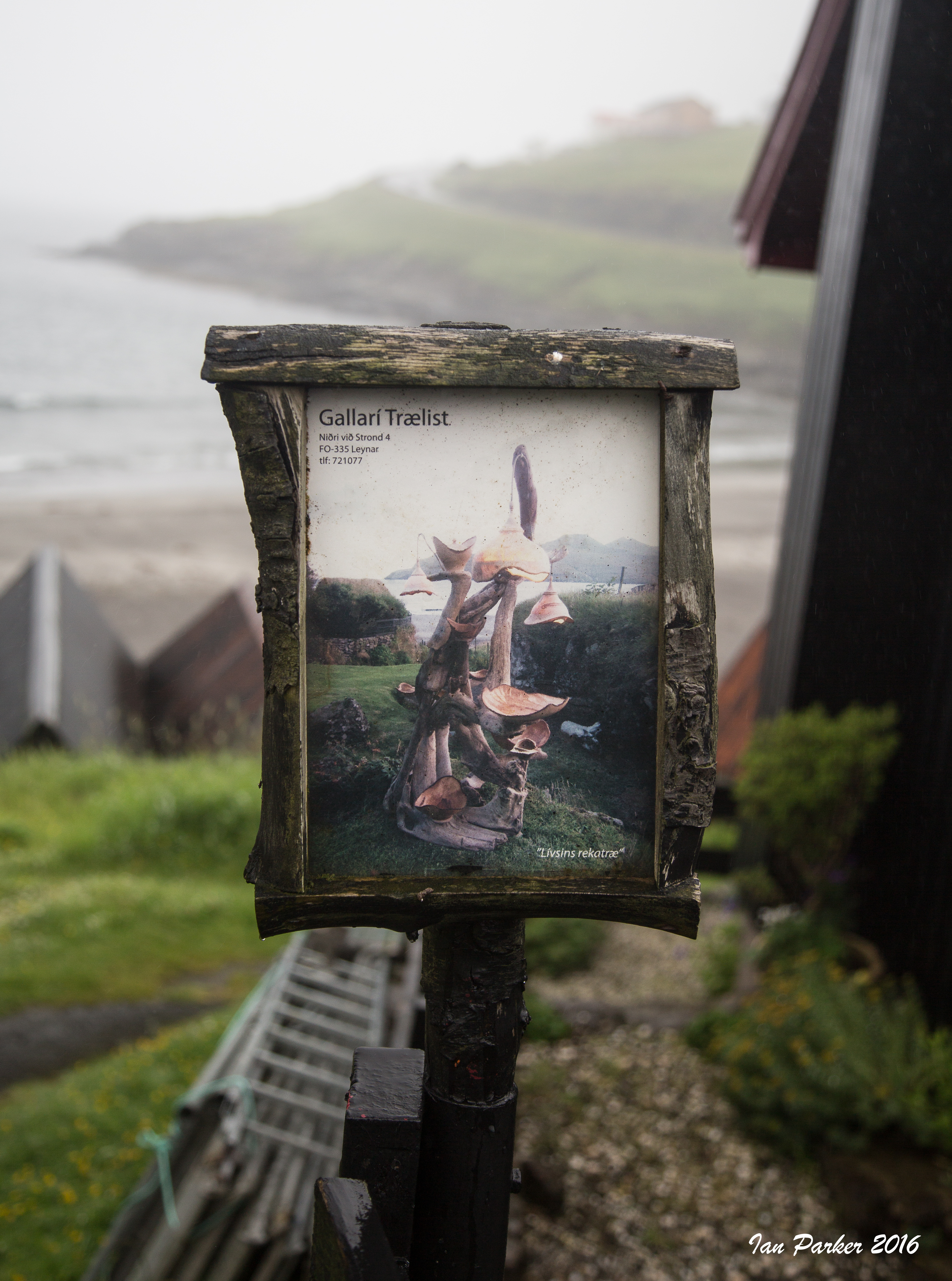
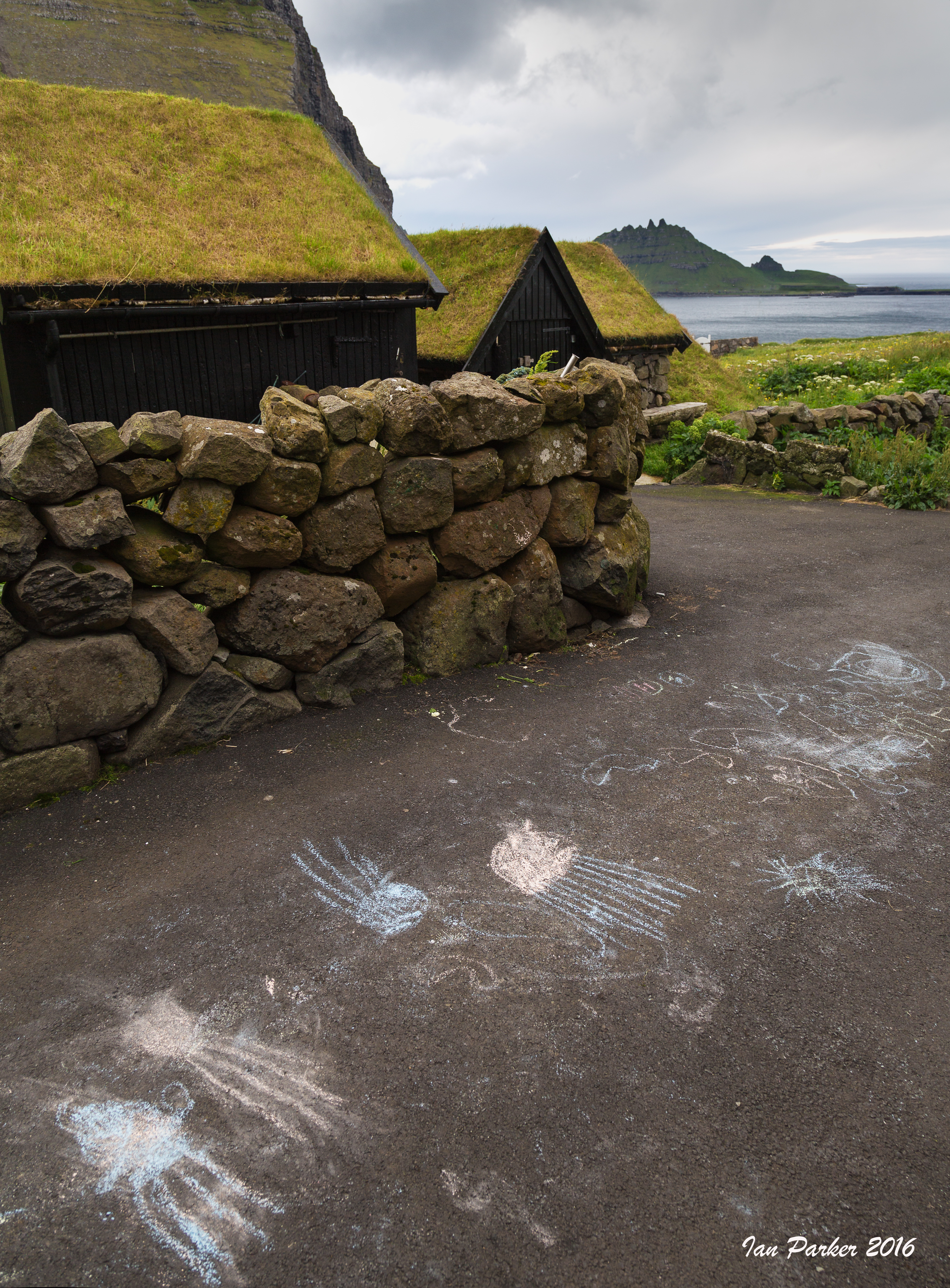
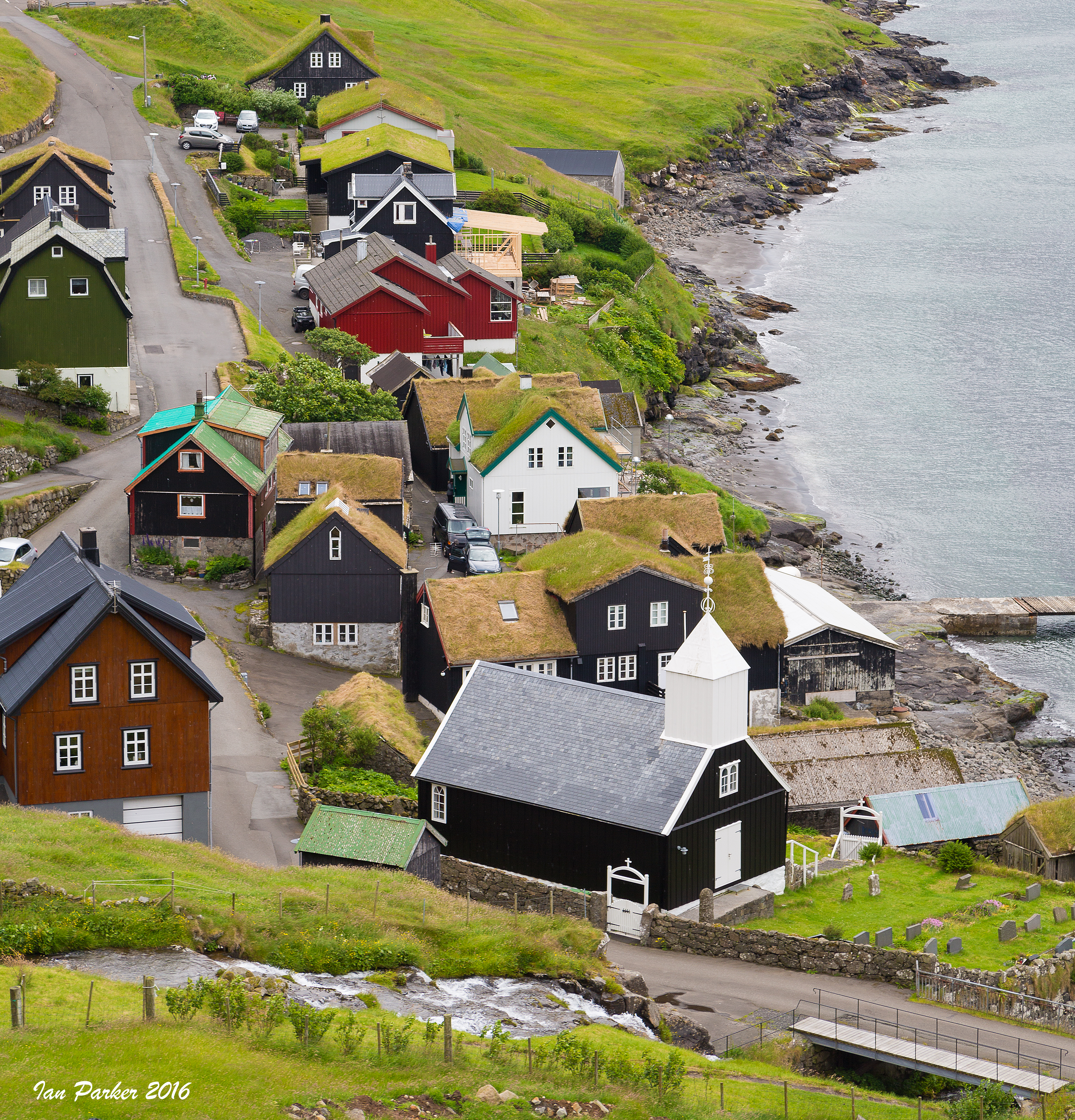
We flew from Edinburgh to the Faroes, and spent 10 days on a self-drive tour of the islands with car rental and accommodations arranged through Magnetic North Travel.
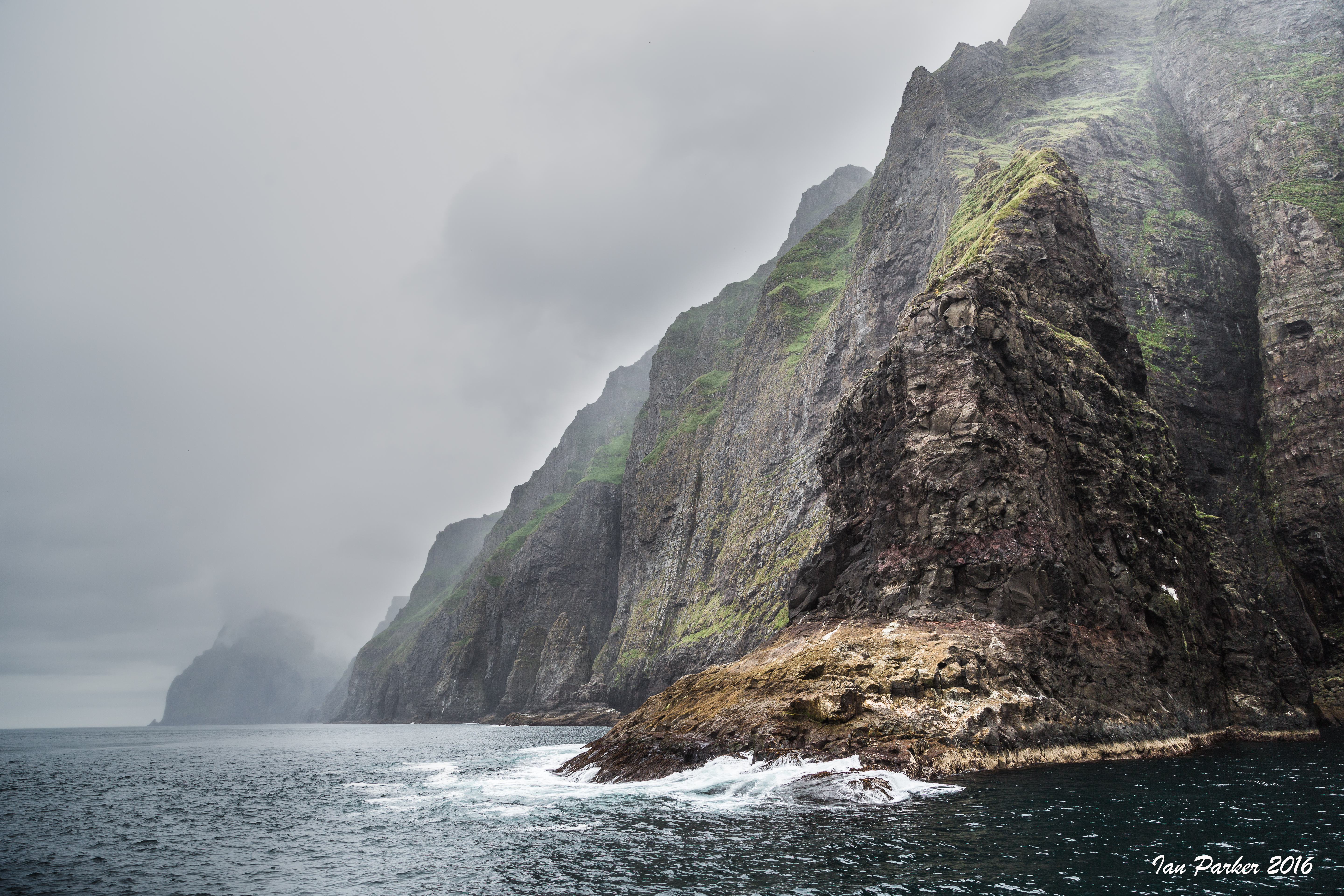
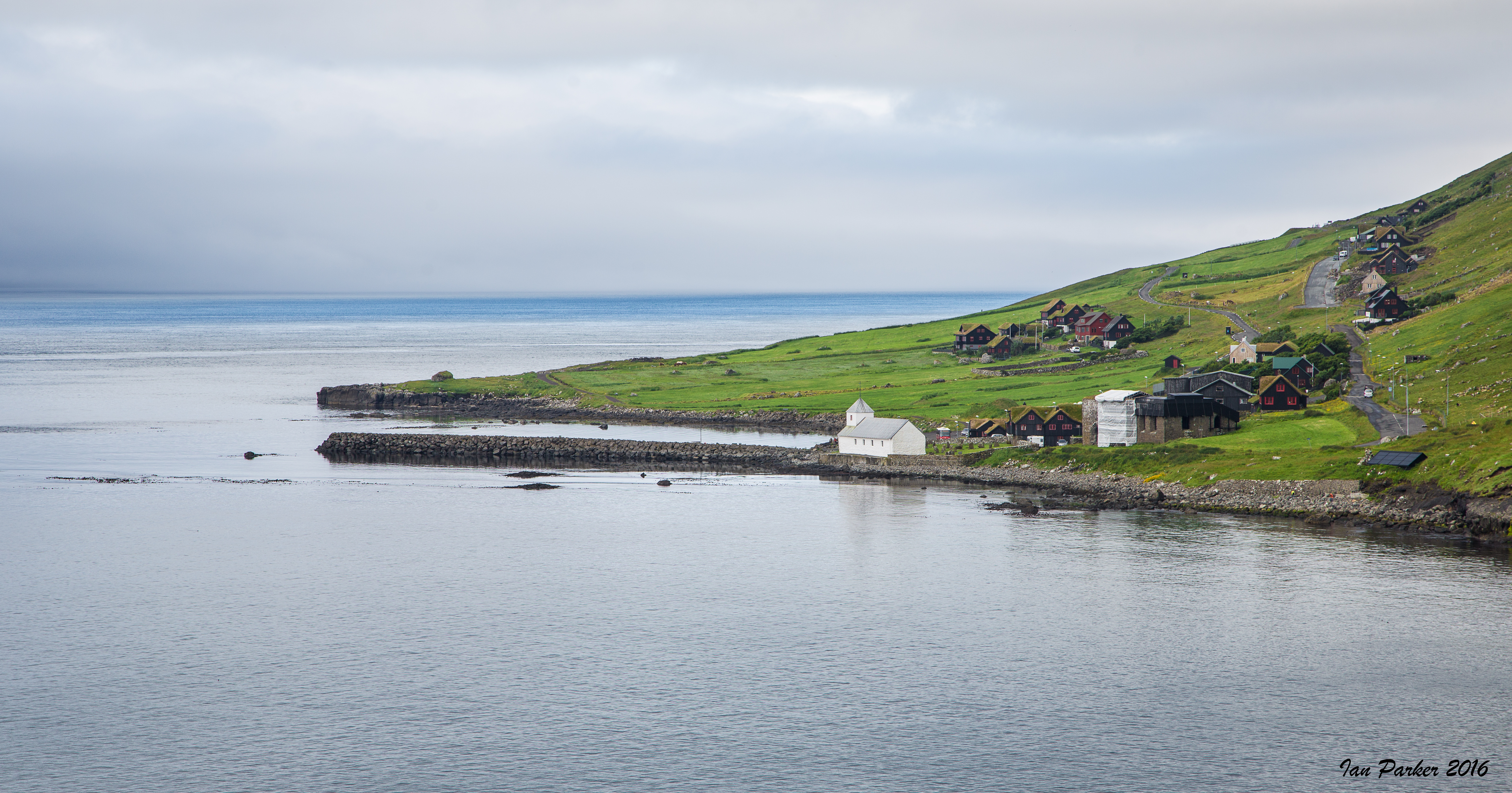
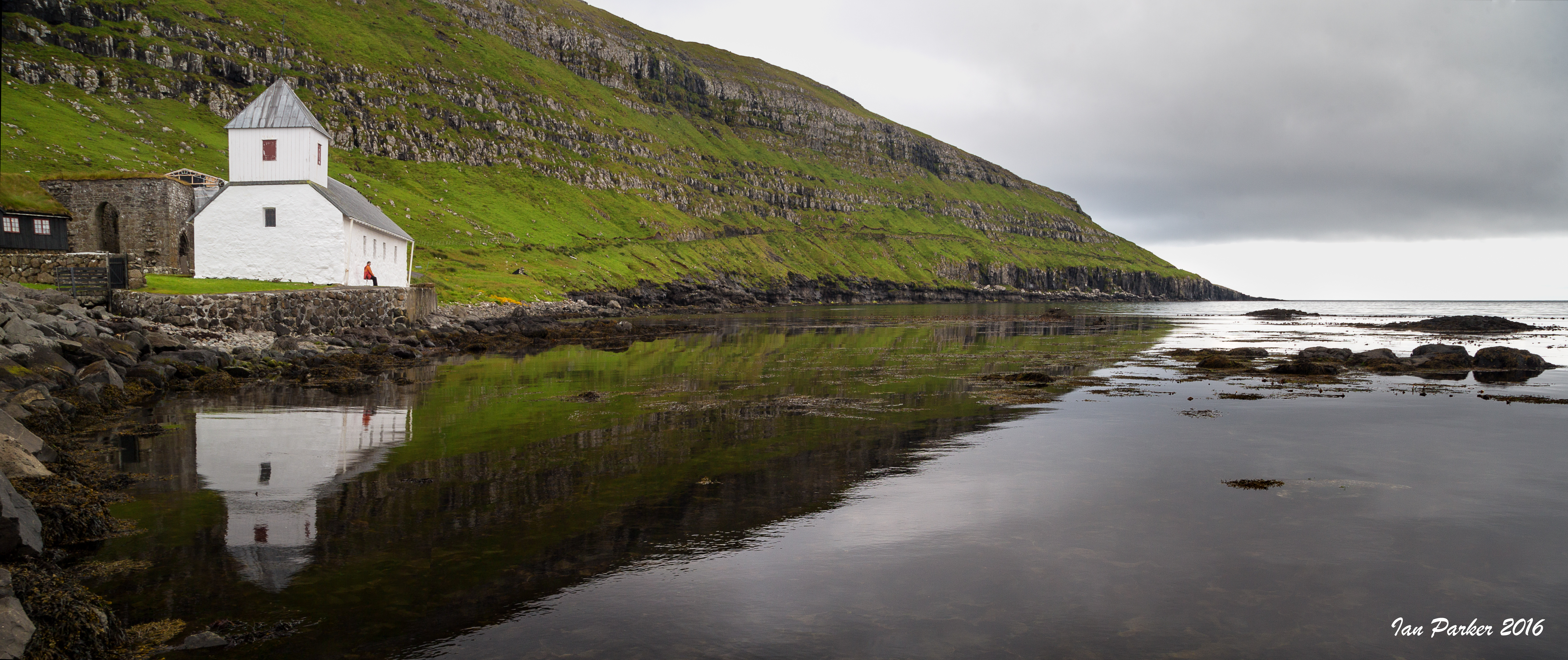
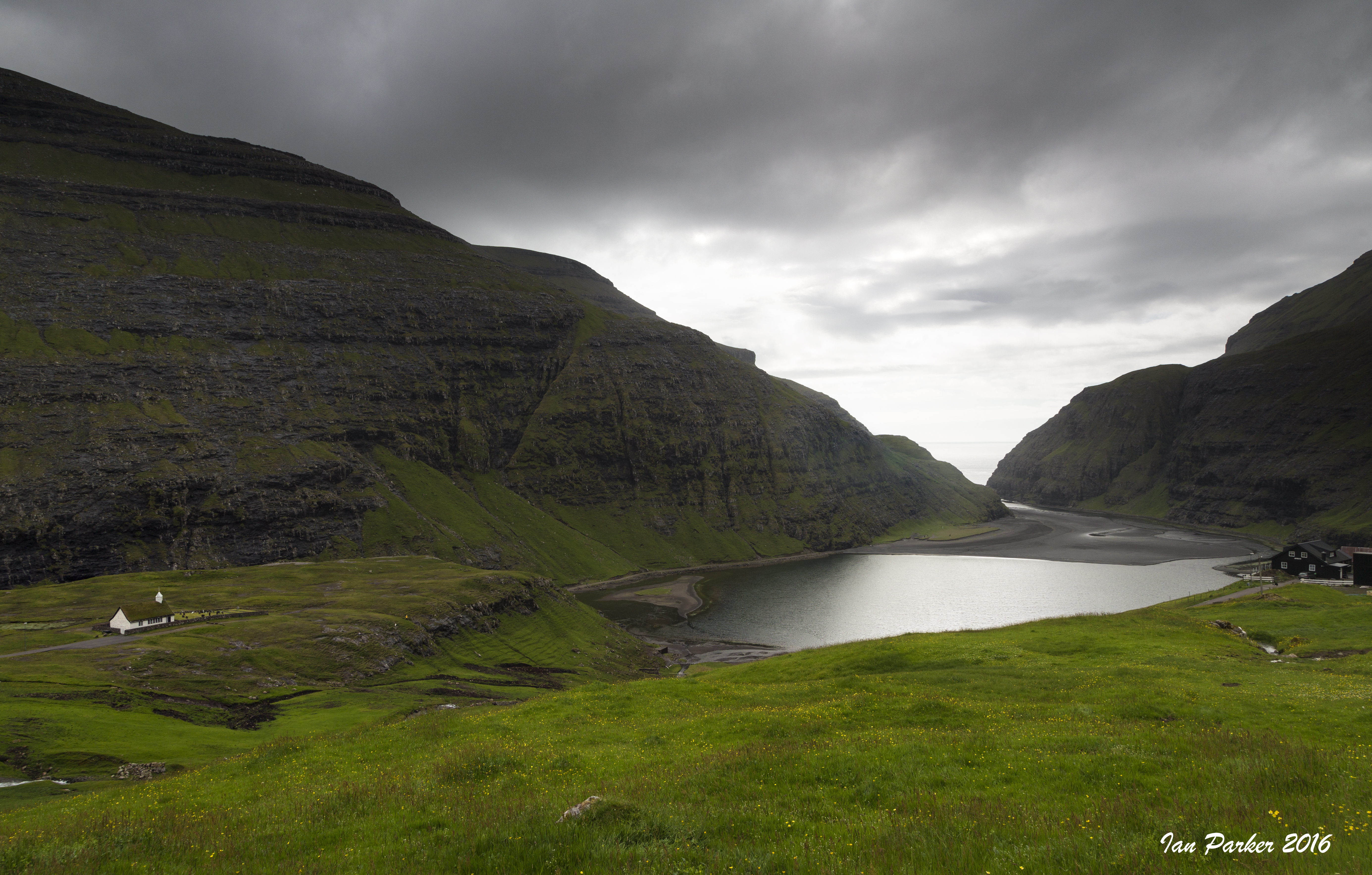
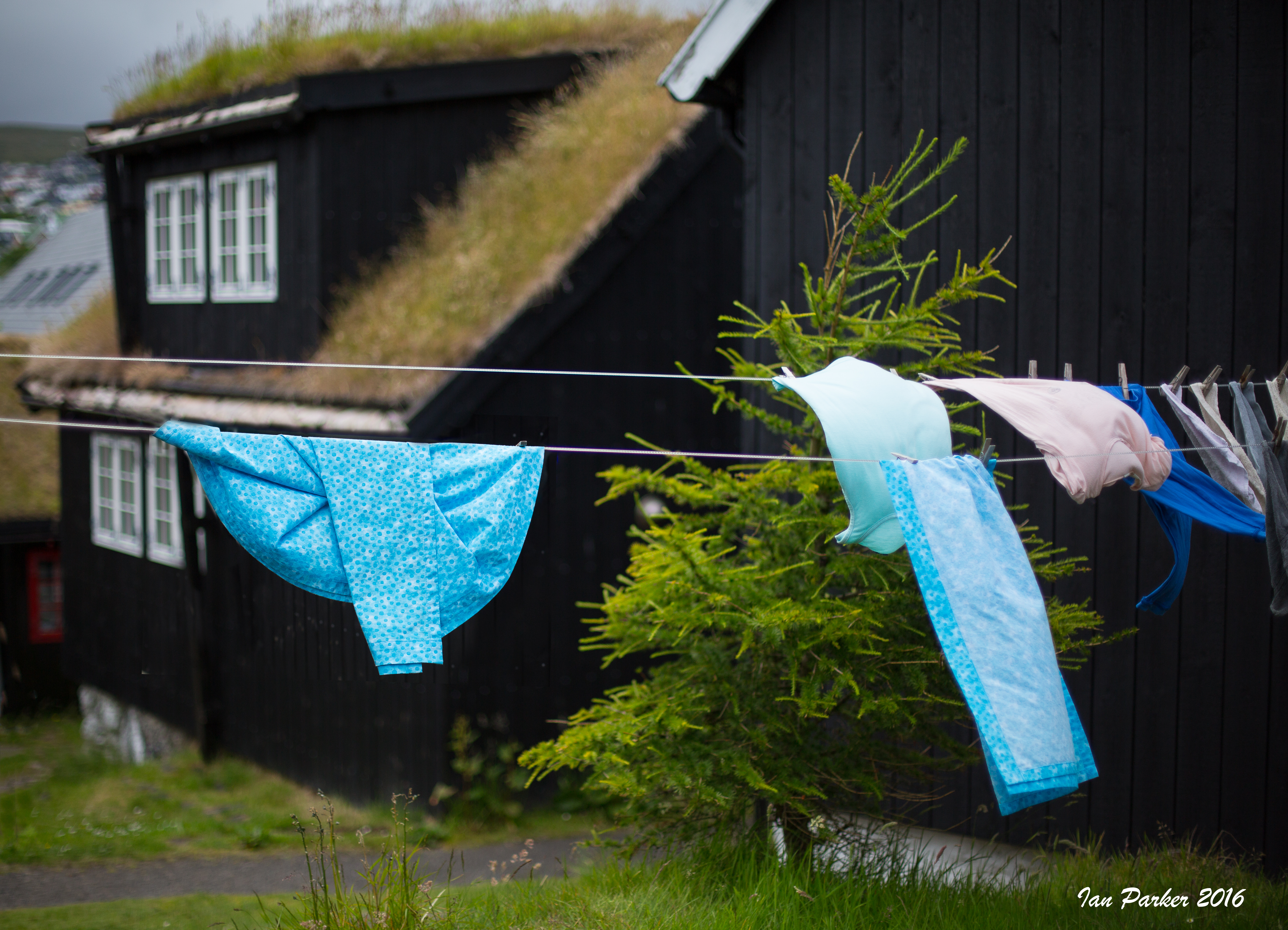
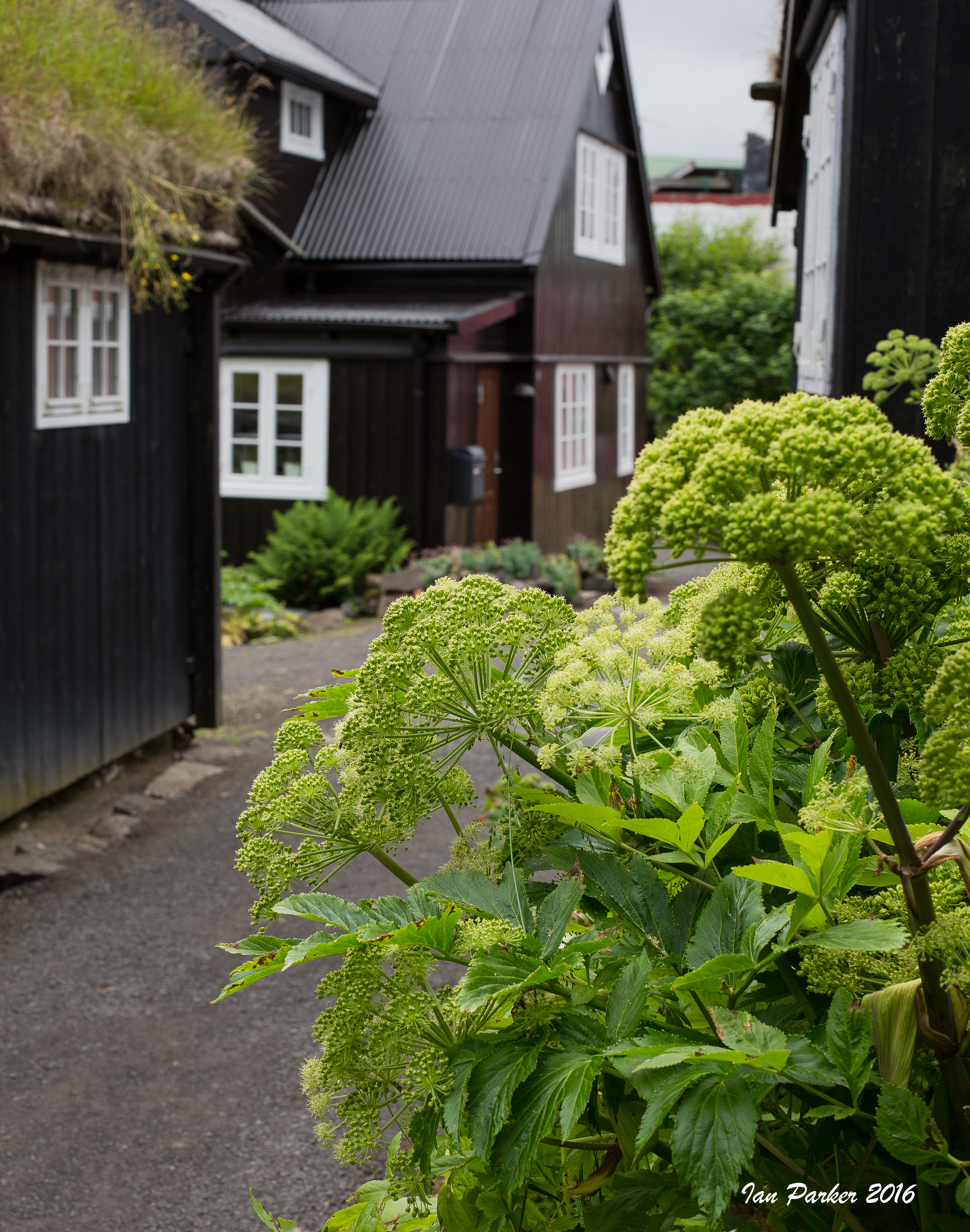
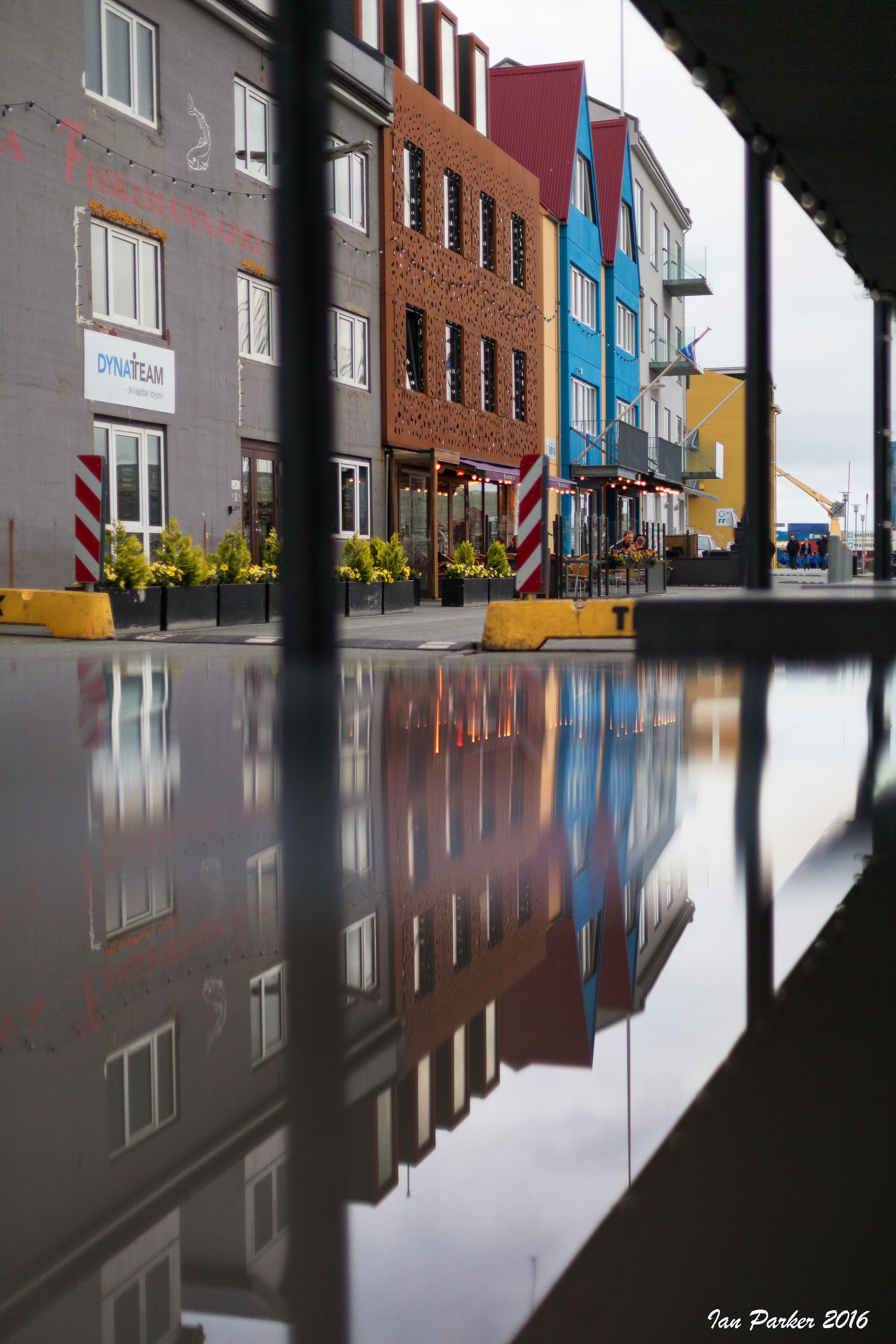
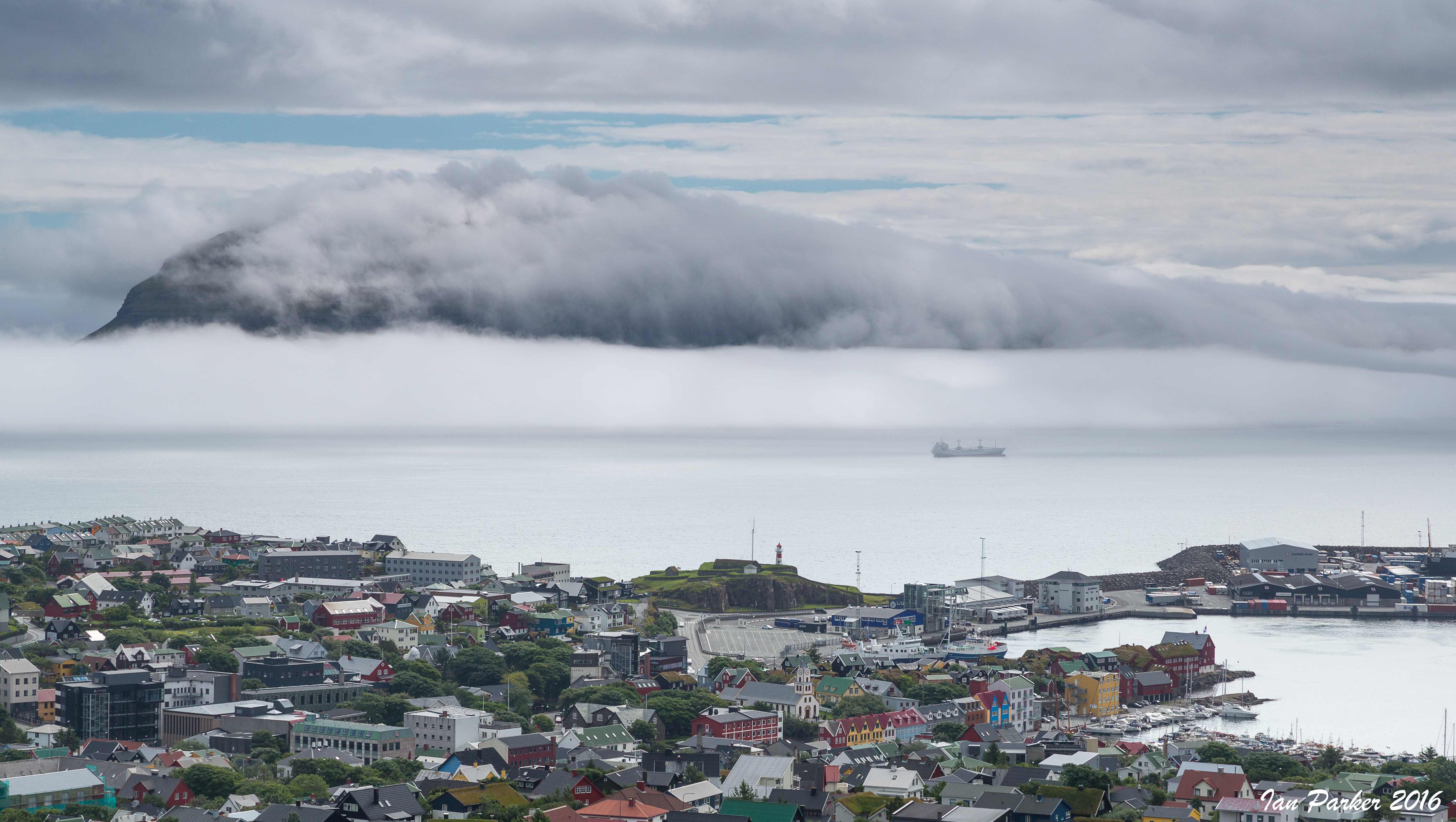
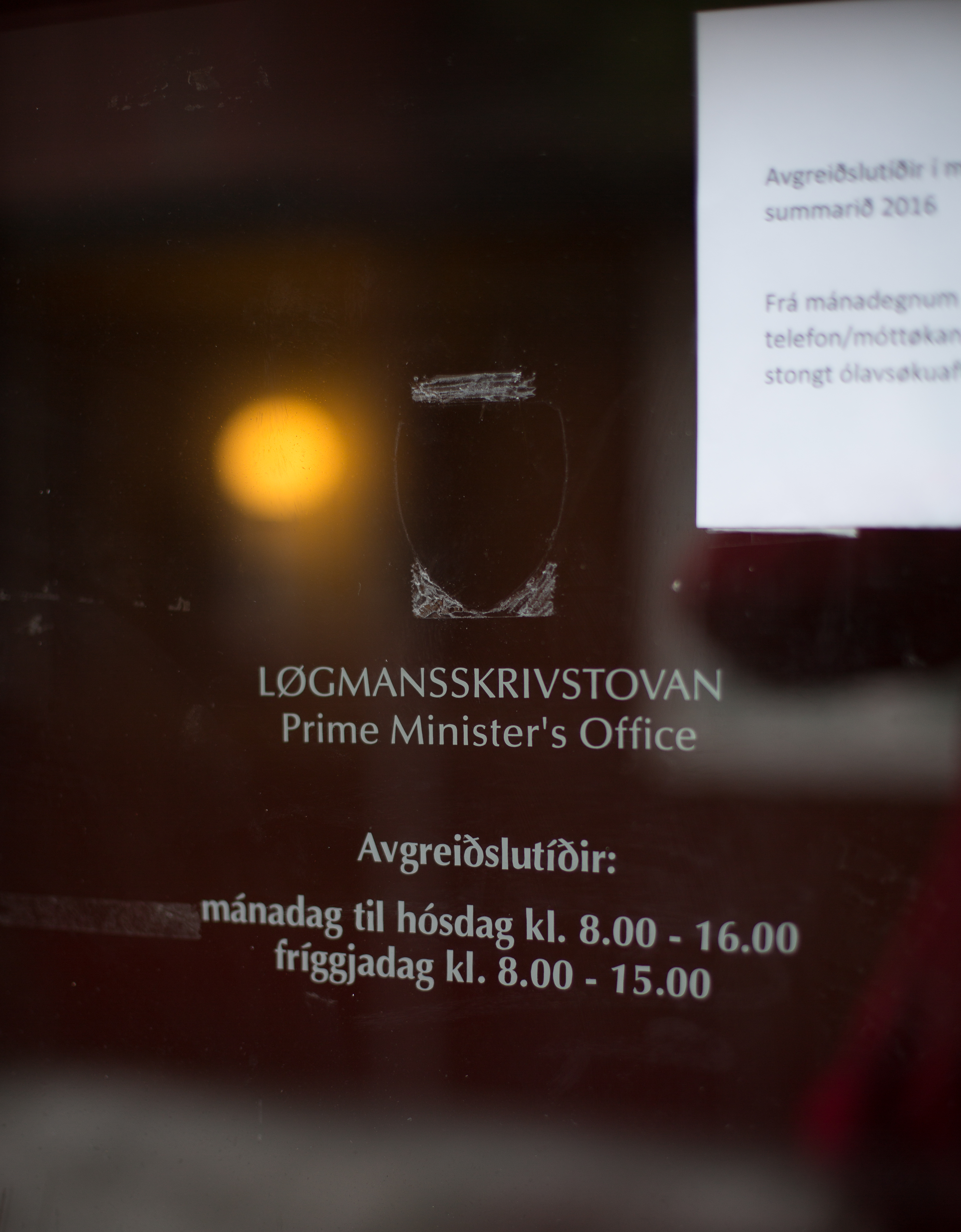
"Situated in the heart of the Gulf Stream in the North Atlantic at 62°00’N, the Faroe Islands lie northwest of Scotland and halfway between Iceland and Norway. The archipelago is composed of 18 islands covering 545.3 sq.miles and is 70 miles long and47 miles wide, roughly in the shape of an arrowhead. There are 687 miles of coastline and at no time is one more than 3 miles away from the ocean. The highest mountain is 2883 ft above sea level. The weather is maritime and quite changeable, from (infrequent!) moments of brilliant sunshine to (more usual) misty hill fog, to showers. The population is 48,308 (1st February 2014). Almost 20.000 people live in the metropolitan area which comprises Tórshavn, and about 4,600 in Klaksvík, the second largest town in the Faroe Islands. Since 1948, the Faroe Islands have been a self governing region of the Kingdom of Denmark. It has its own parliament and its own flag. It is not, however, a member of the European Union and all trade is governed by special treaties. Faroese is the national language and is rooted in Old Norse. Nordic languages are readily understood by most Faroese, and English is also widely spoken, especially among the younger people." [Faroe Islands Tourist Board]
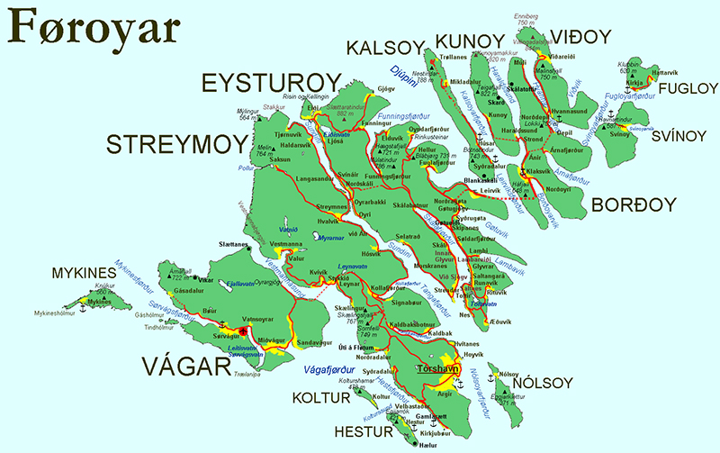
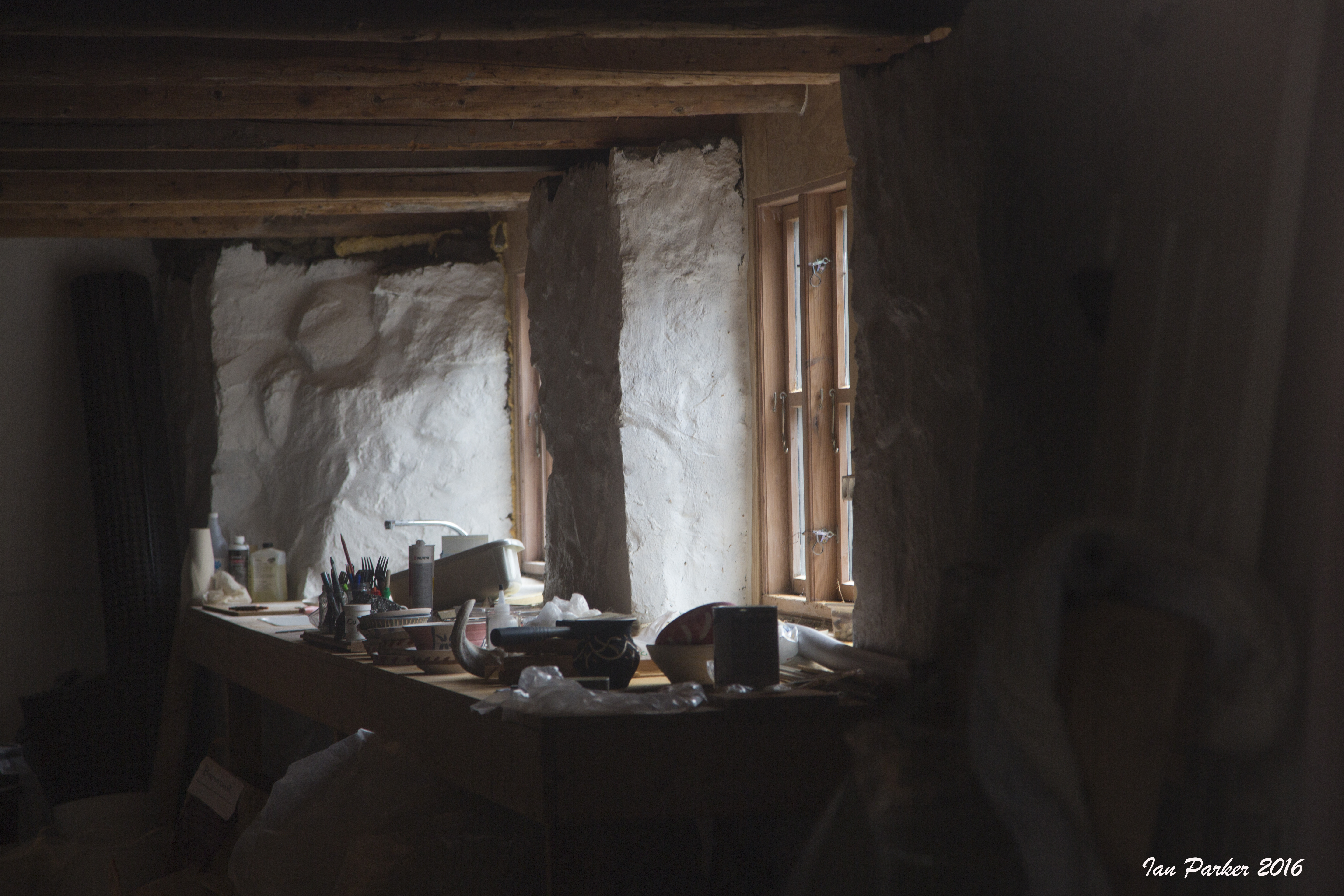
After a night at the airport hotel on Vagar we drove through the undersea tunnel, across the island of Stremoy and out to the village of Gjógv, at the northern tip of Eysturoy island. We were three nights at the Gjaargadur Guesthouse; by far the best of our accommodations on the islands. Dinner the first night was a spectacular entire shoulder of lamb.
June 19
A pleasant Father's day monring at Bolsa Chica, and catching up on a few photos from earlier mornings with the birds.
May 28-30
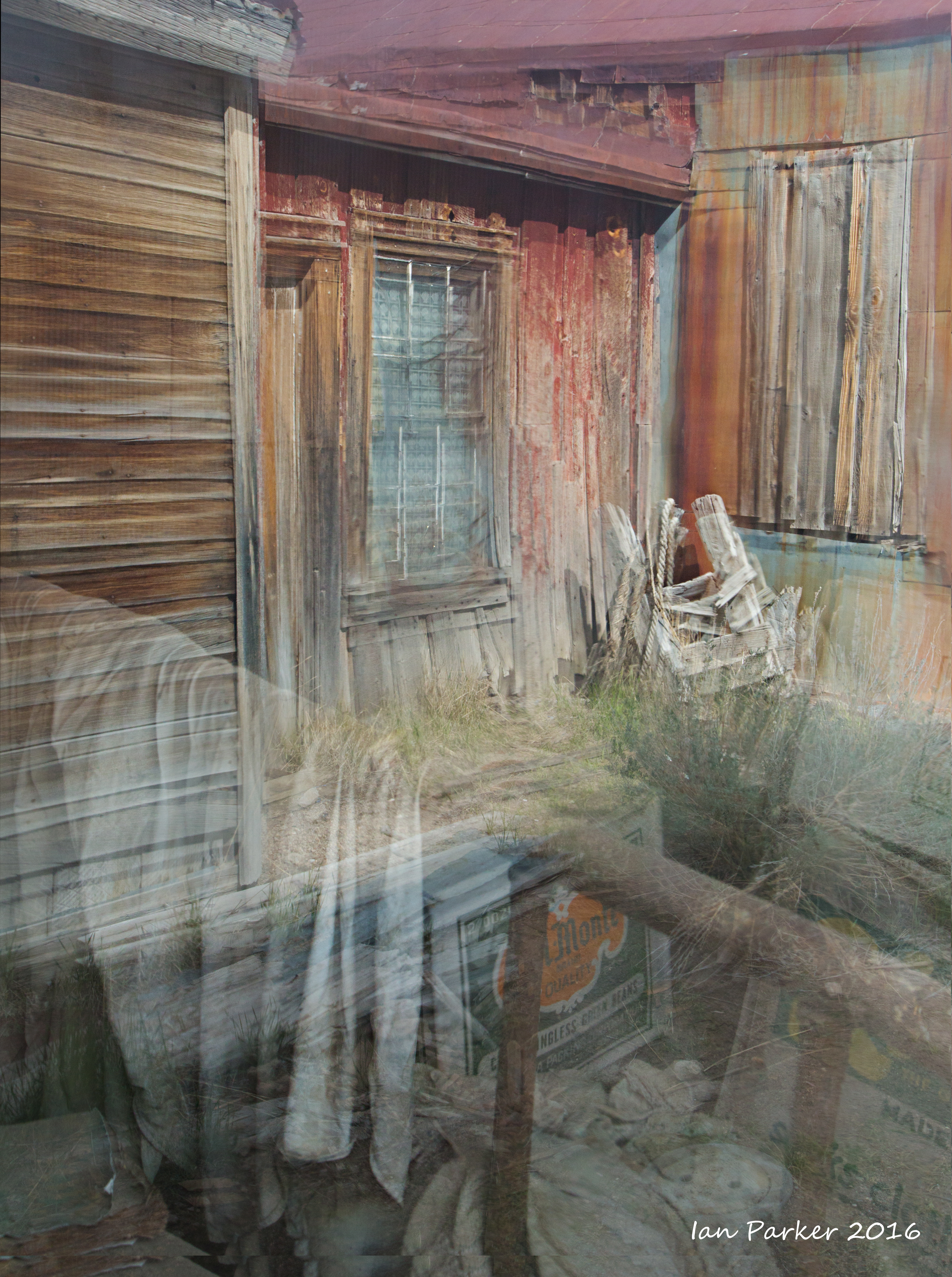
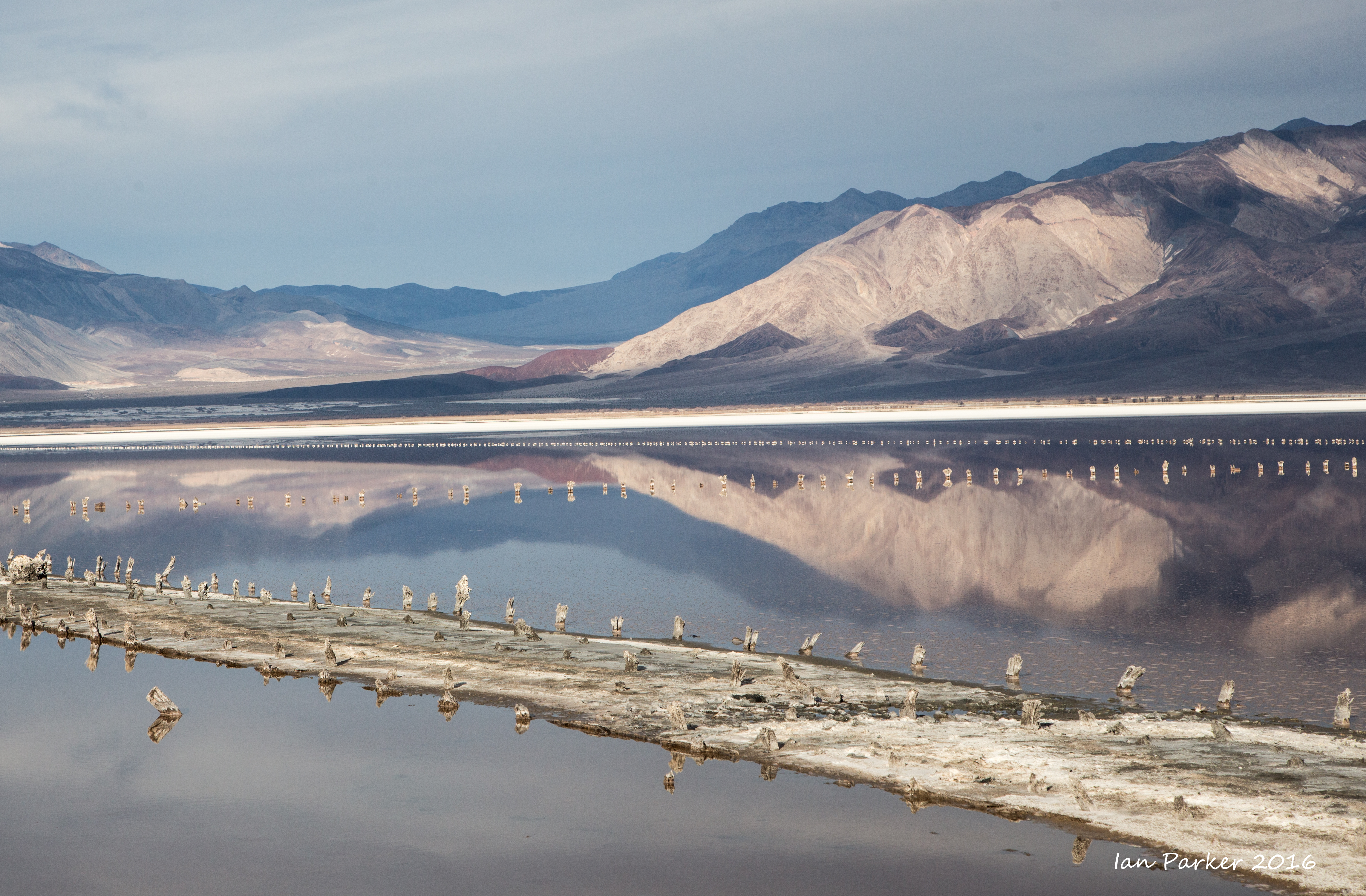
Memorial Day weekend at Mono Lake and Bodie, detouring along remote highway 120 and through Benton Hot Springs on our way home via Bishop.
Anne and I arrived at Mono Lake on the Saturday evening, to a grey sky and gentle rain. But there's always the hope of a clearing at sunset, and I set off down the trail to the South Tufa. I found the lake had fallen even lower beyond the level at my previous visit last year, and now is only 13 inches above the trigger level at which the LA DWP is legally forced to stop all diversions of intake flow. This is not good for nesting birds as the land bridge to Negit island is nearly above water, but the low level has revealed nice photogenic rocks at the tip of the South Tufa, lapped by shallow translucent yellow and turquoise waters. The rain soon stopped and, one again, I was treated to a spectacular sunset, with the clouds progressing from a subdued yellow to fierce red. The two images below were taken by combining two exposures with a tilt-shift lens to encompass the color pallet from sky to the near-foreground rocks and saline water.
The low lake level is most apparent looking across to the tufa 'island'
off the tip of the Sout Tufa area. Compare today's photo with one from five years ago.
|

The tufa island; 2011
|

Water level in Mono Lake: 1980 - present
|
|
|
The Sand Tufa. A area of small but amazingly intricate formations. The precise location is kept 'secret' to protect these delicate tufa features.
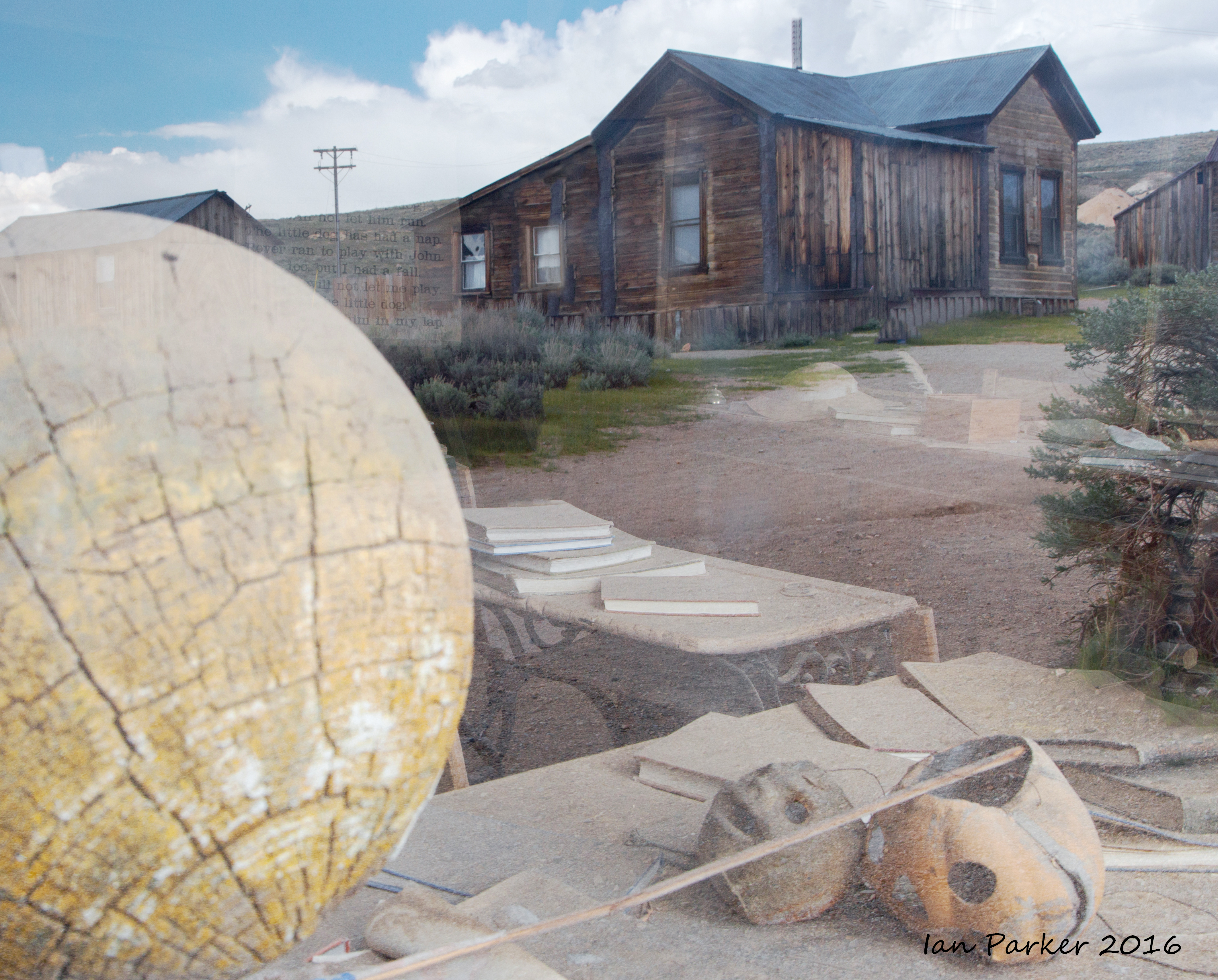
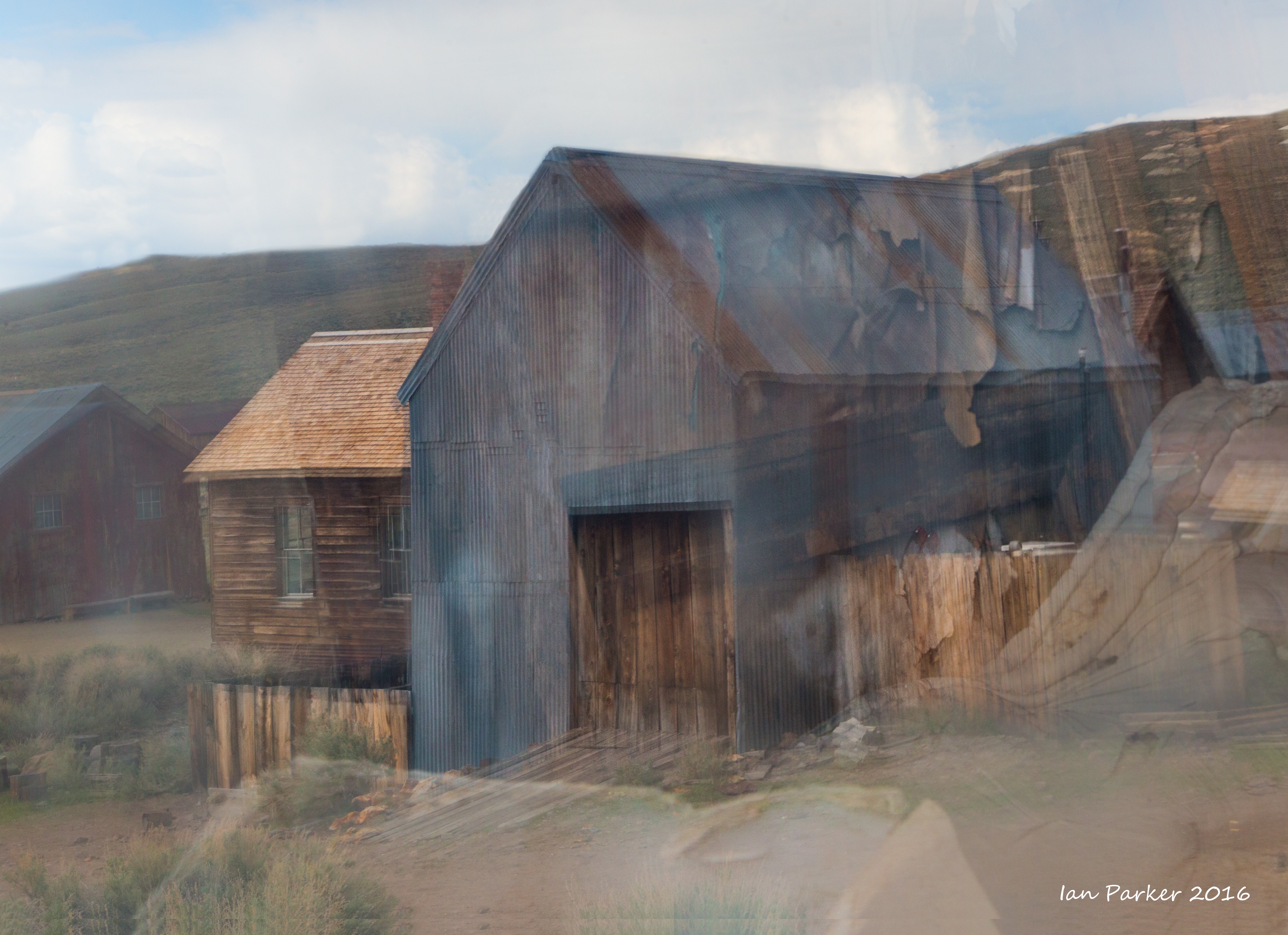
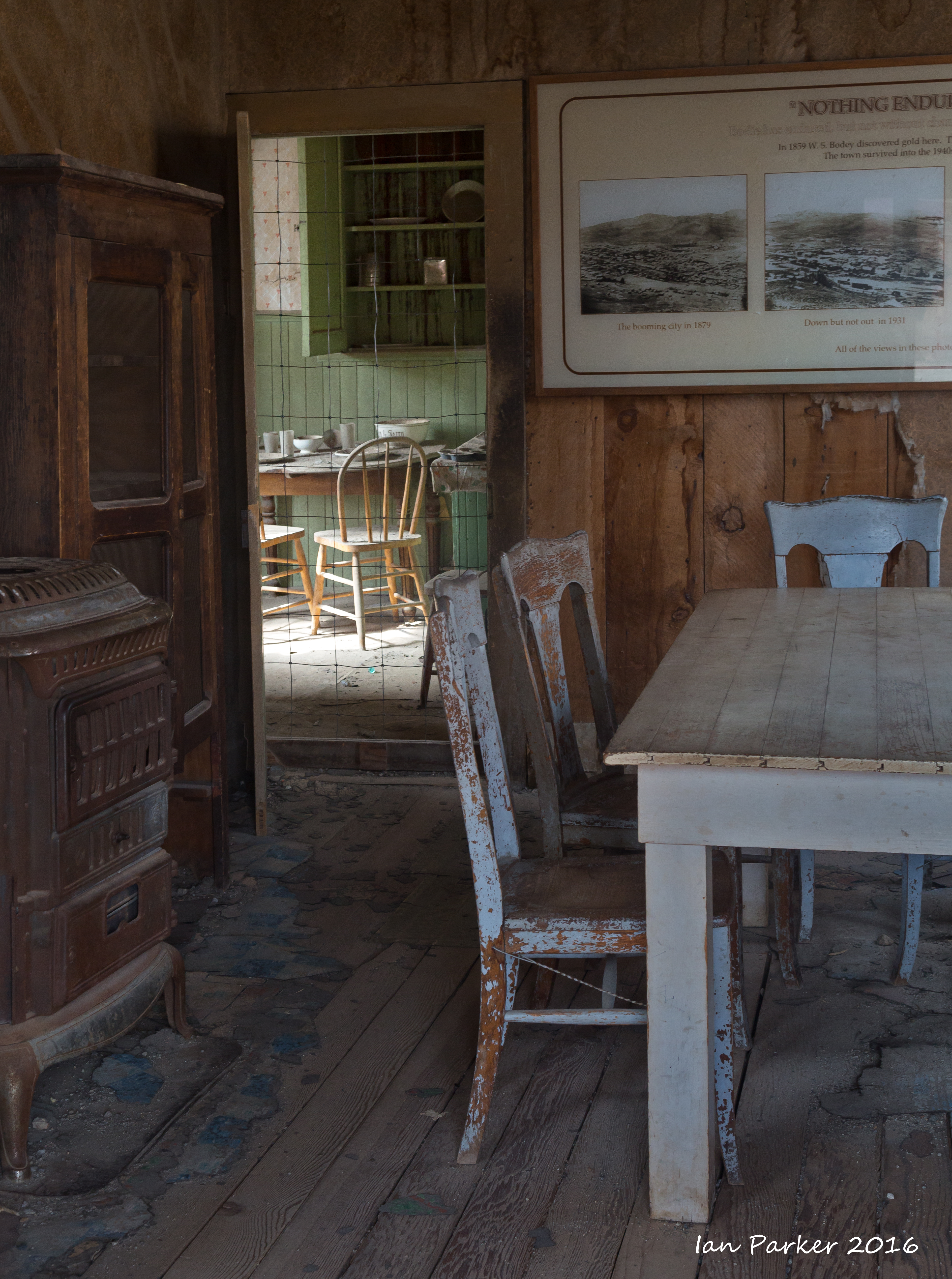
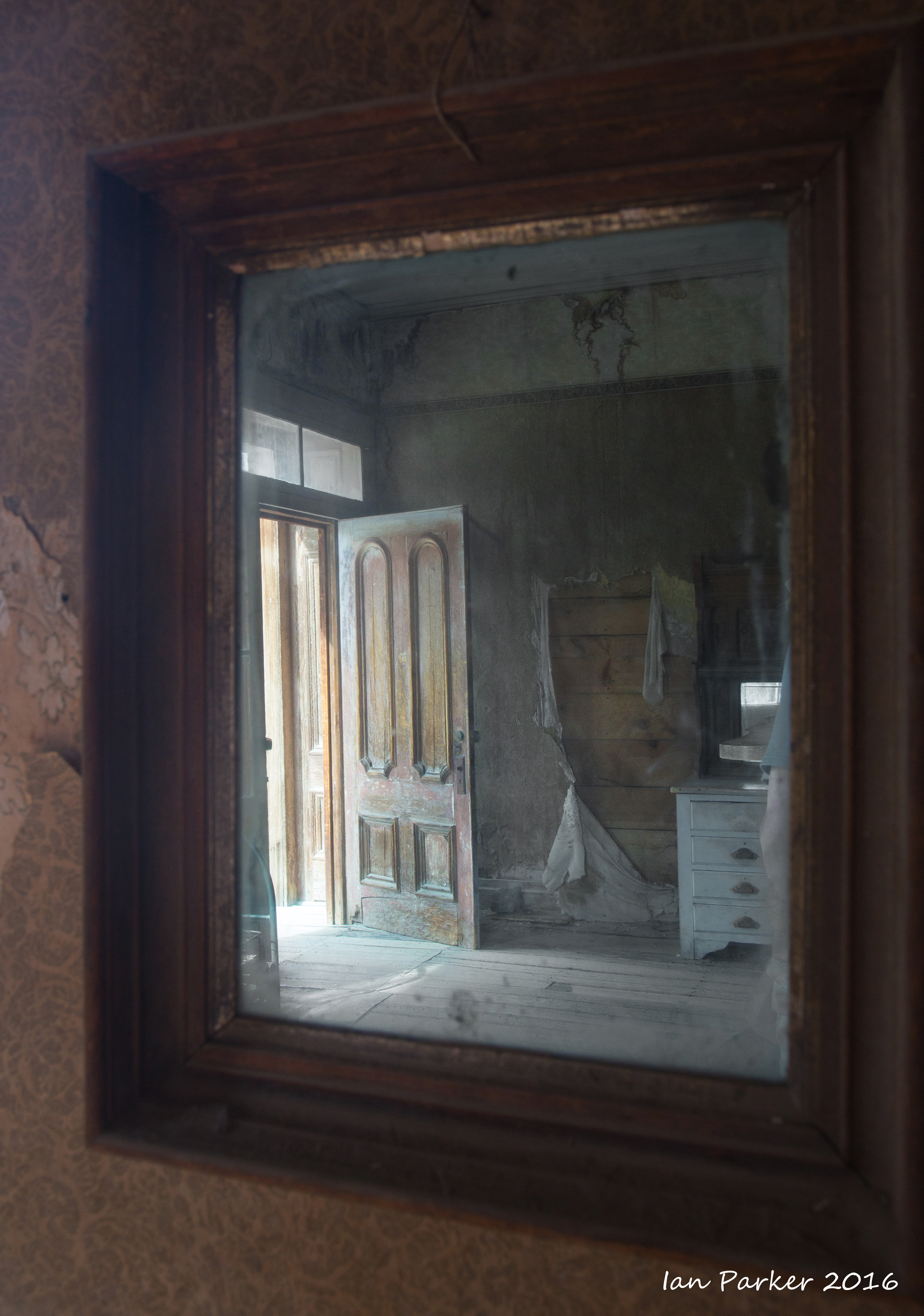
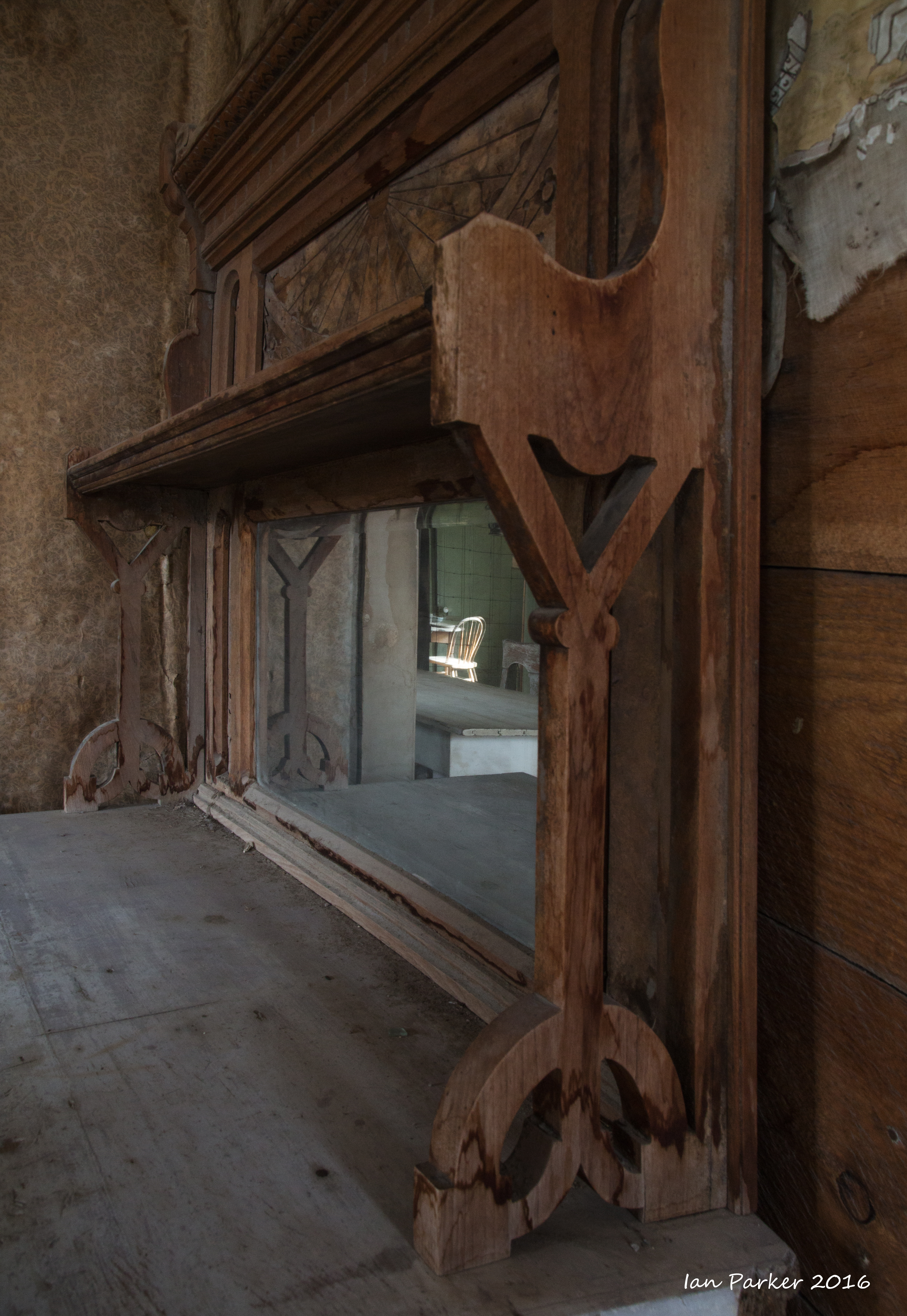
In the absence of dramatic weather, Mono Lake is most photogenic before sunrise and after sunset; during the day the light is too harsh on the tufa towers, and the crowds arrive. After breakfast at the Whoa Nellie Deli, Anne and I set off for a 4wd tour over the mountains toward Bridgeport. However, the ranger at Bodie said the road was blocked by snowdrifts, so we instead spent the afternoon taking our two dogs around the ghost town (Rocky made friends with another Bernese mountain dog), I was looking for fresh inspiration in photographing a location I had visited many times before, and settled on a theme of reflections from old, wavy window glass; 'inside-outside' views fusing dim interiors with reflections of brightly lit surrounding buildings.
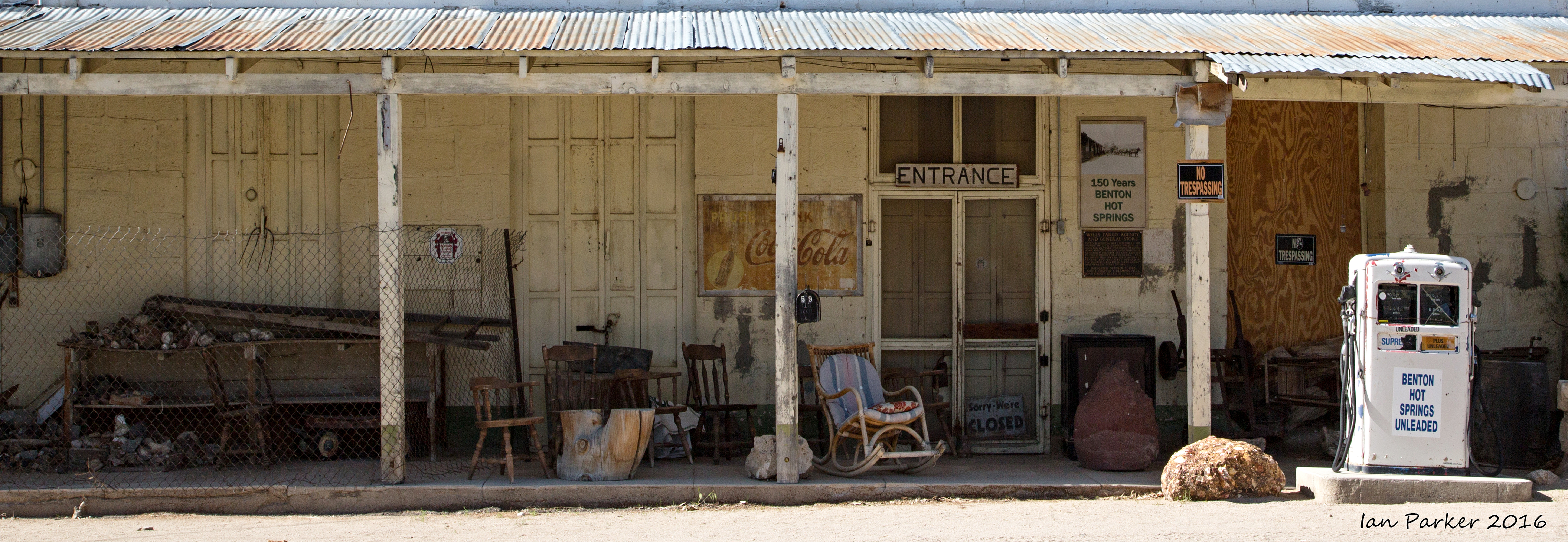
On the way home we detoured along the scenic and less-travelled California 120 over the mountains and through Benton Hot Springs before re-joining Highway 395 at Bishop.
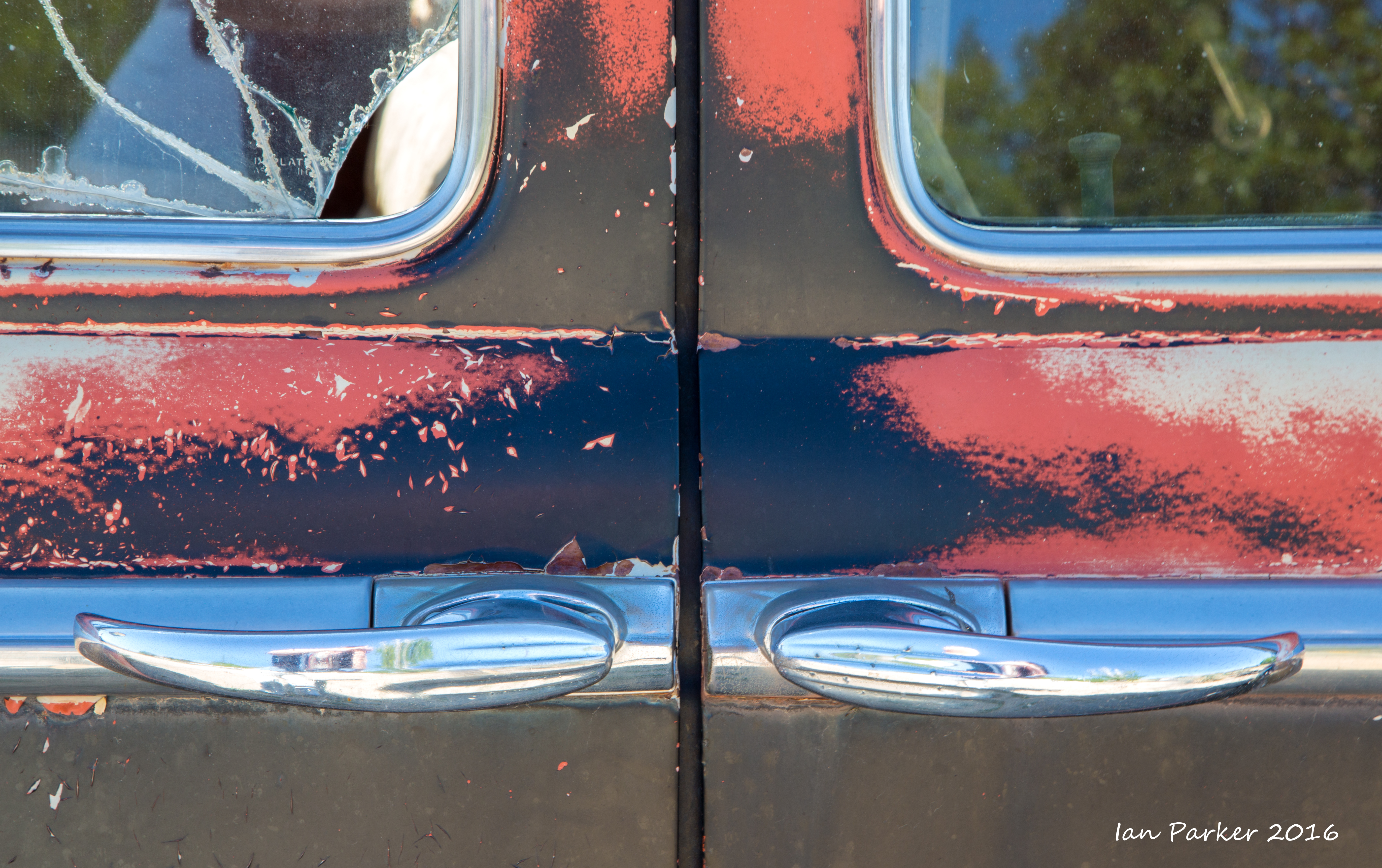
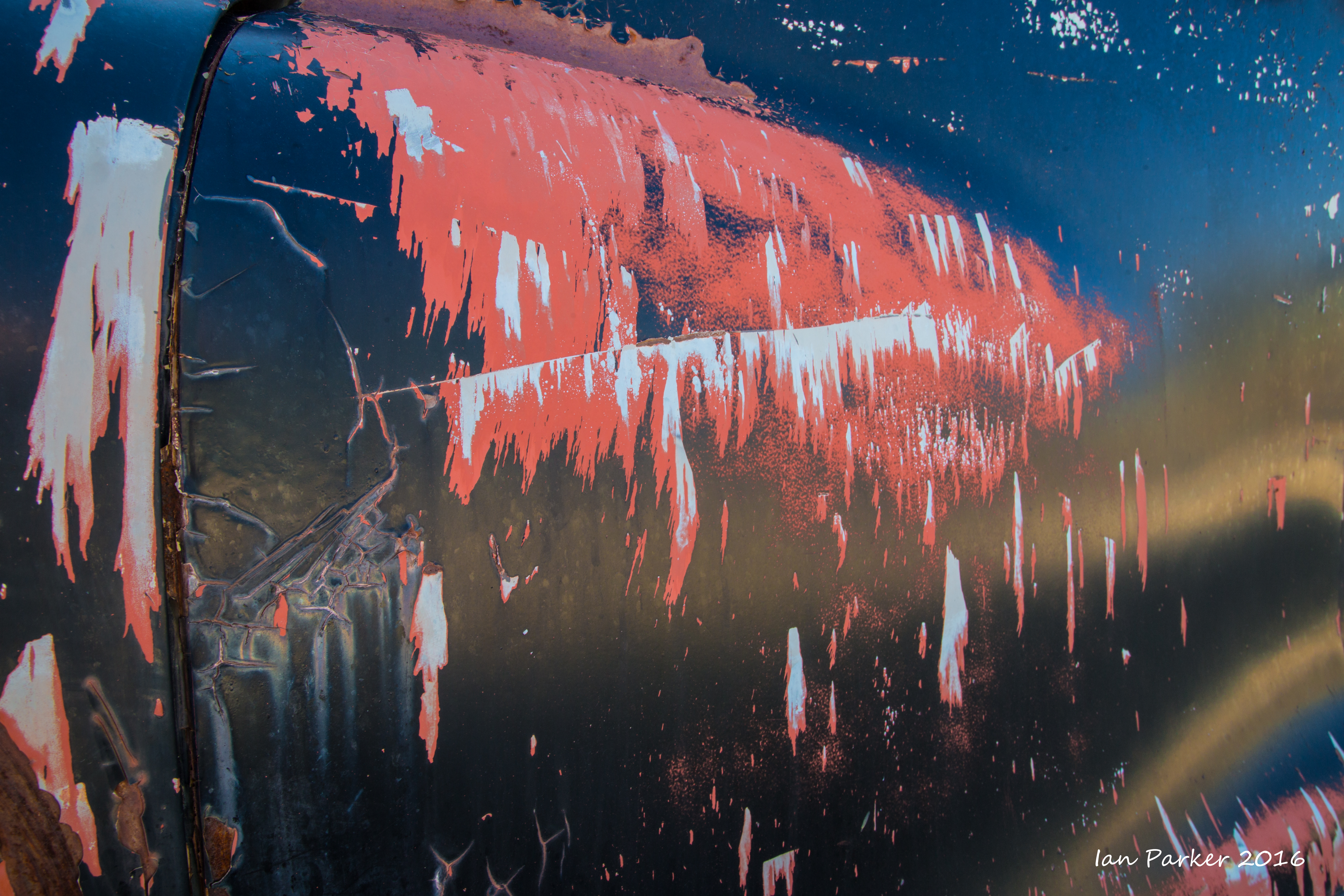
An abandoned 1950's Dodge sedan
with sun-scorched paintwork made a vivid subject for some detail photos.
April 30-May 2
 |
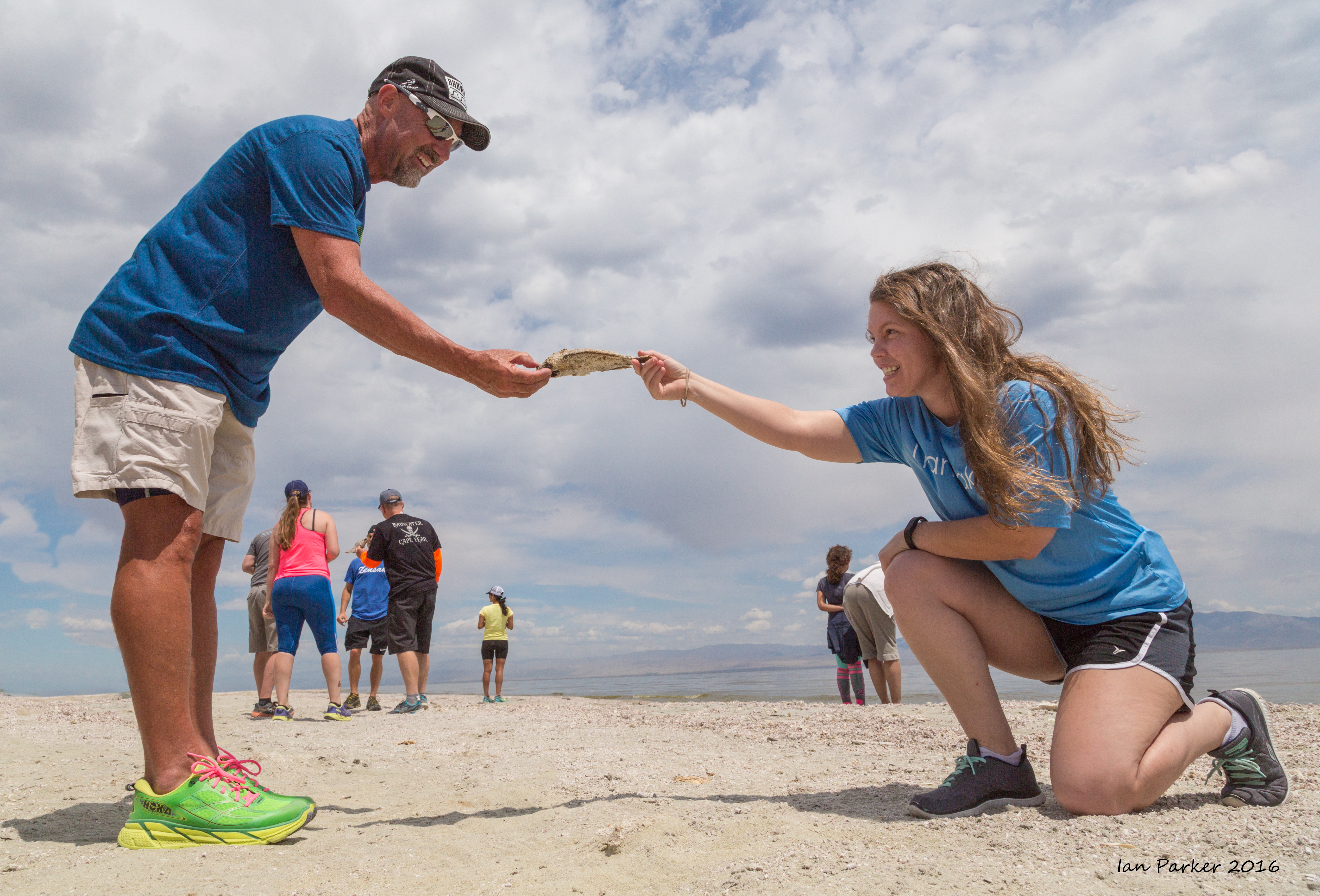
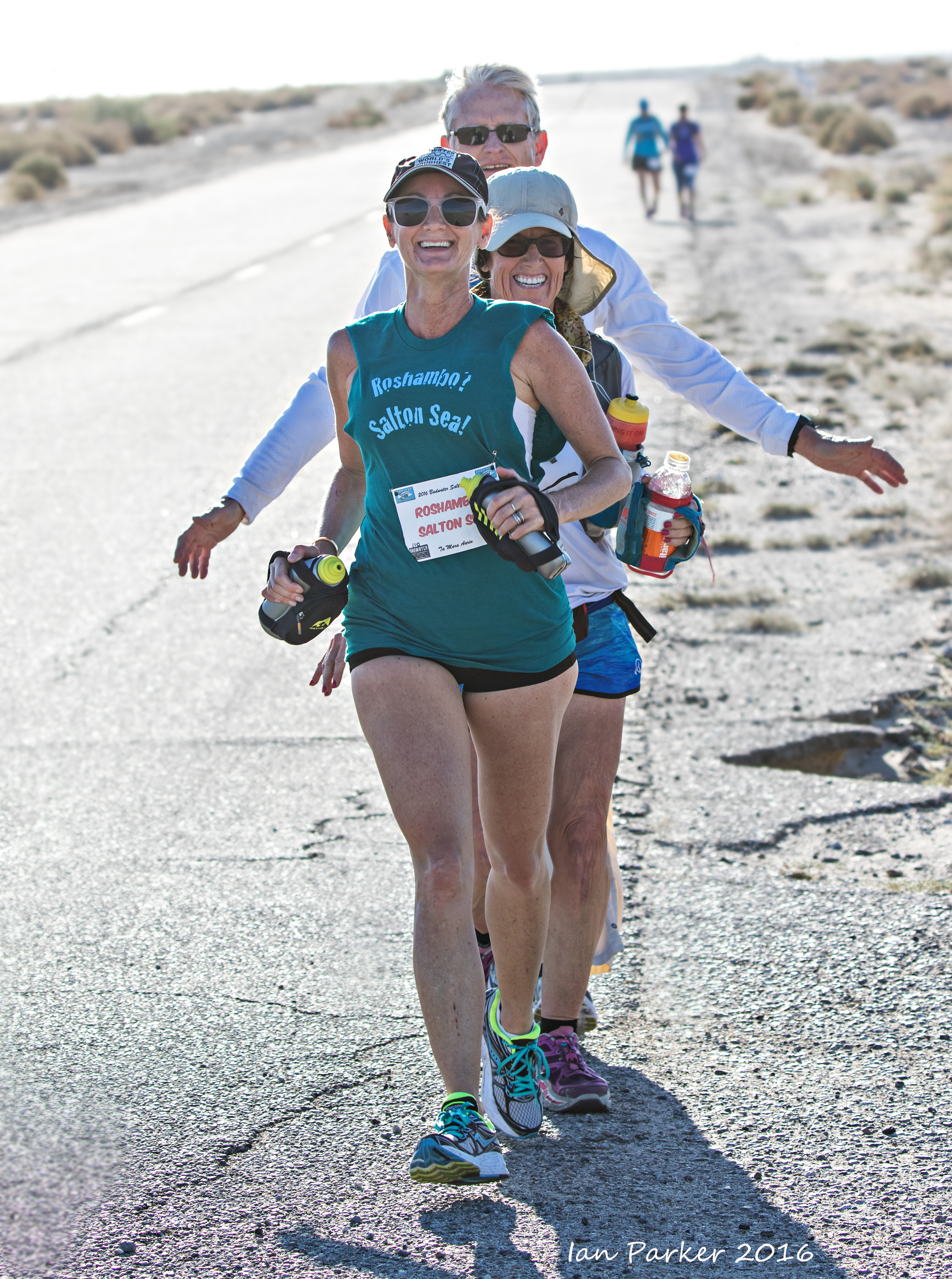
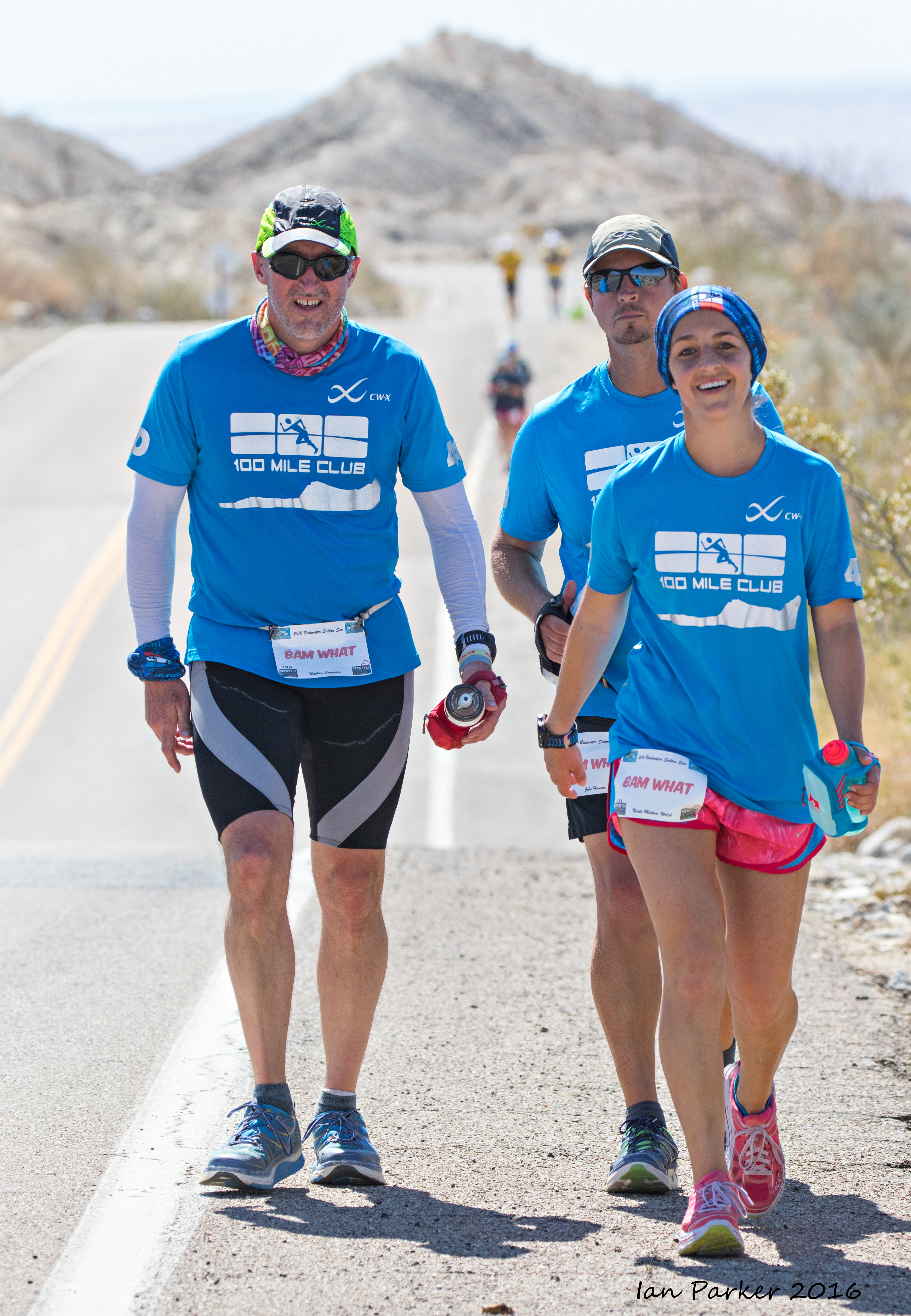
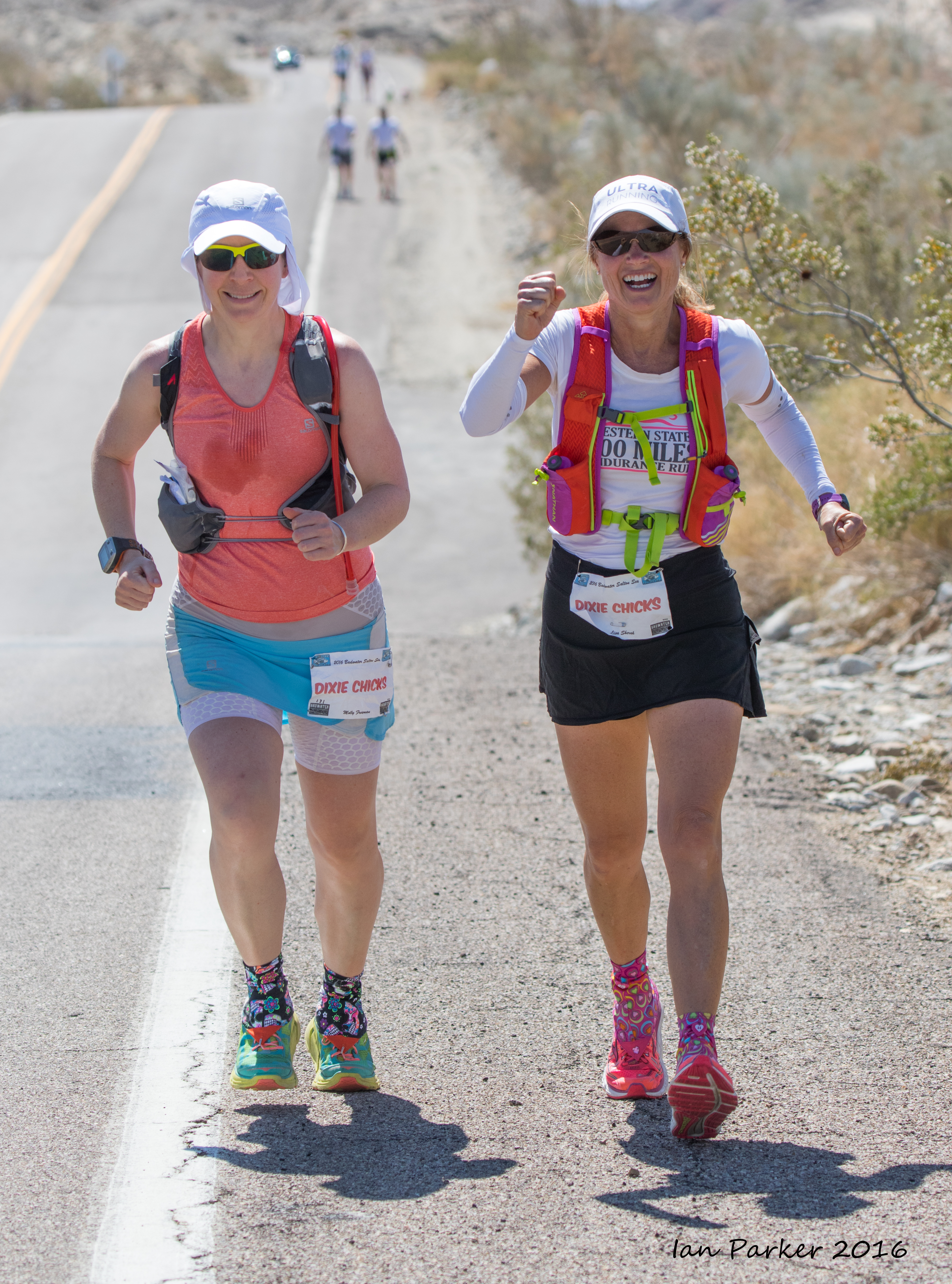
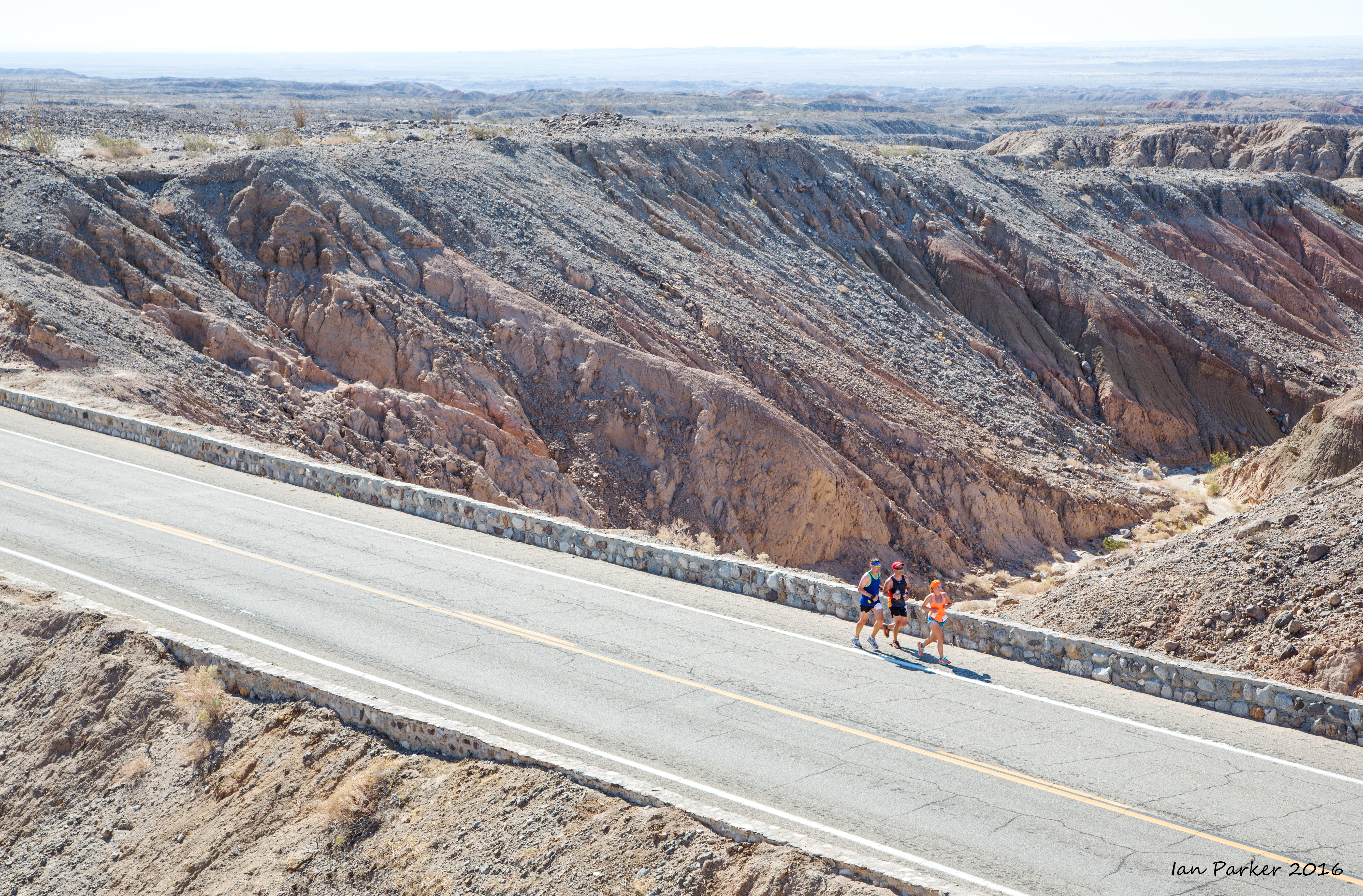
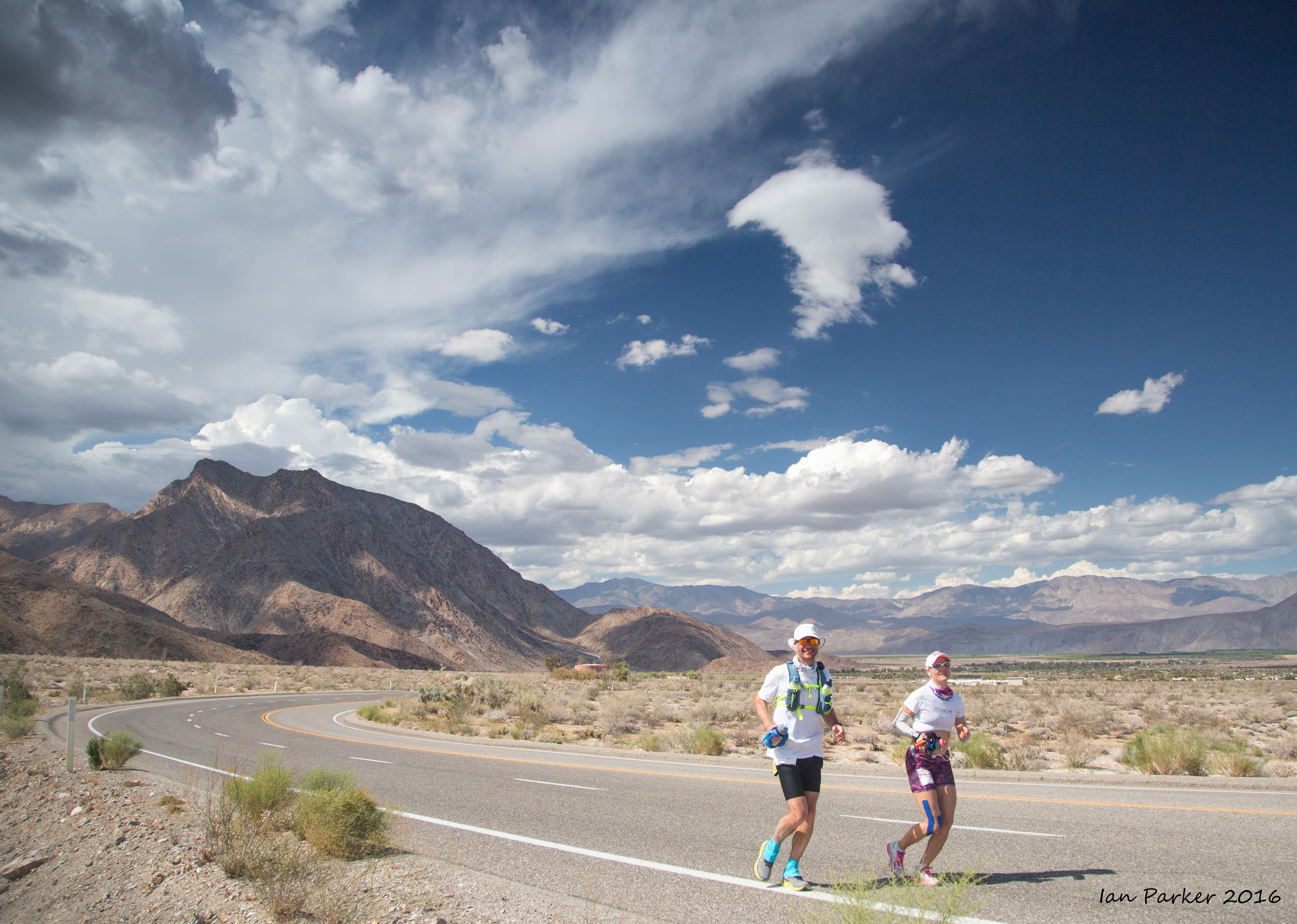
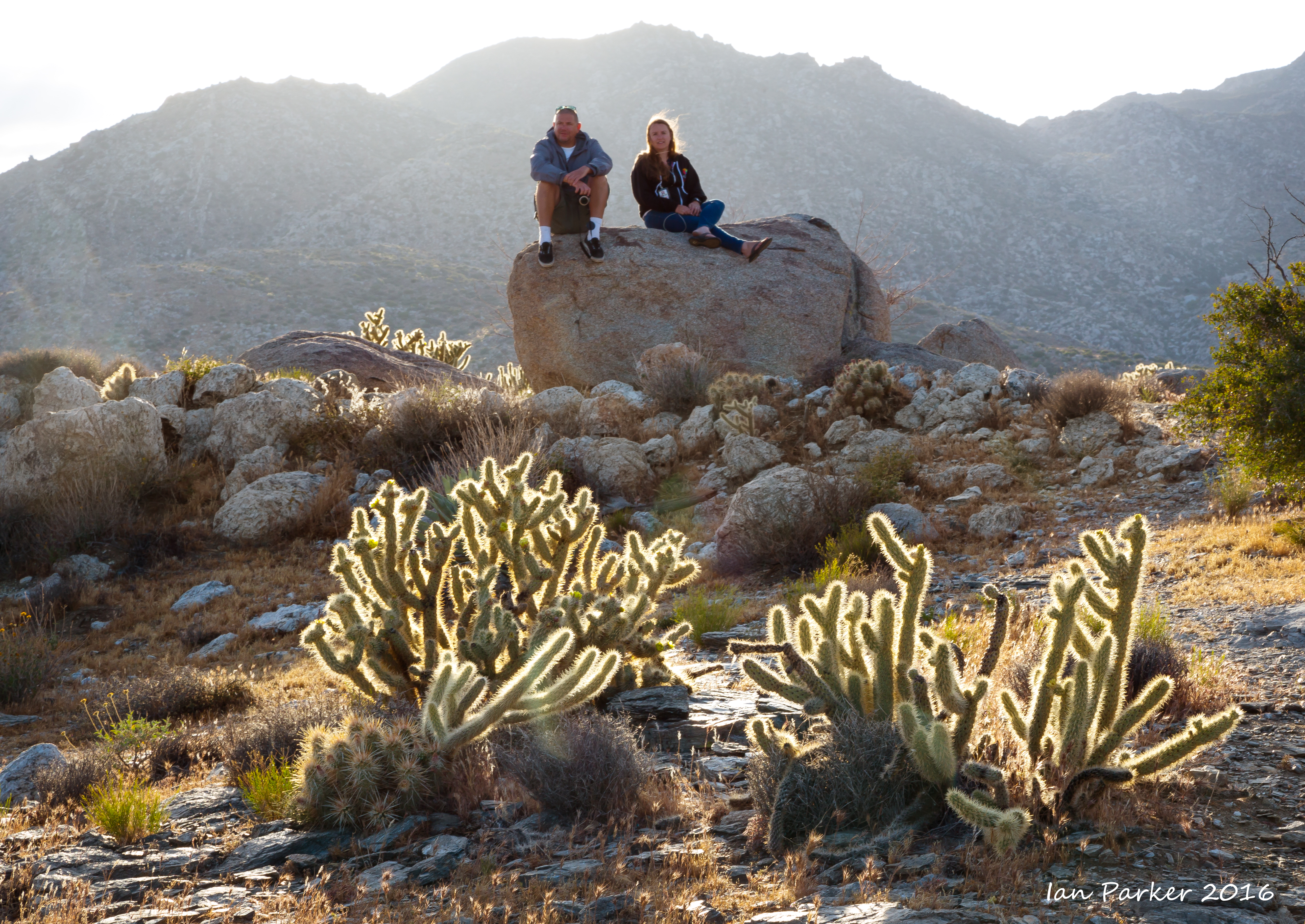
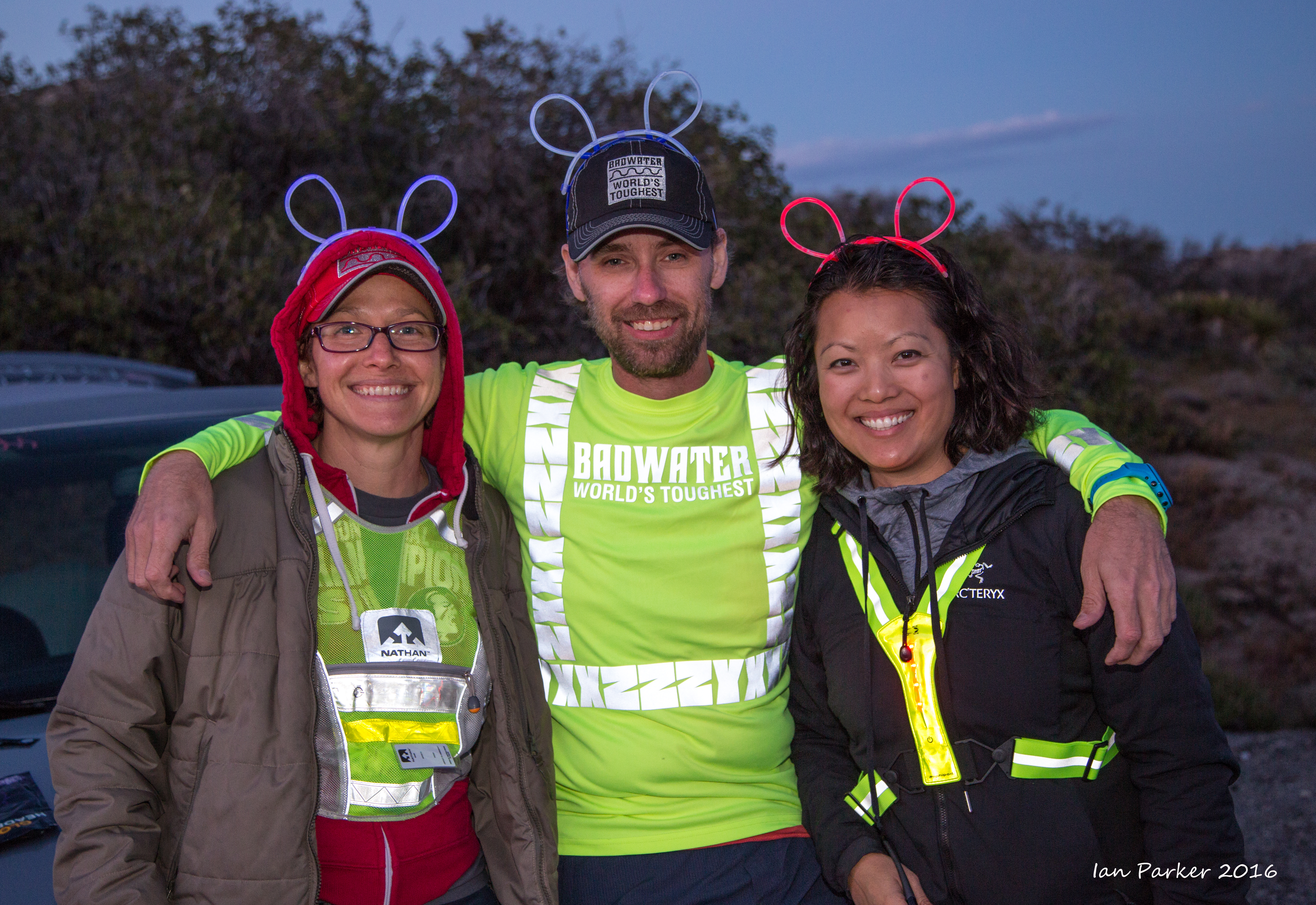
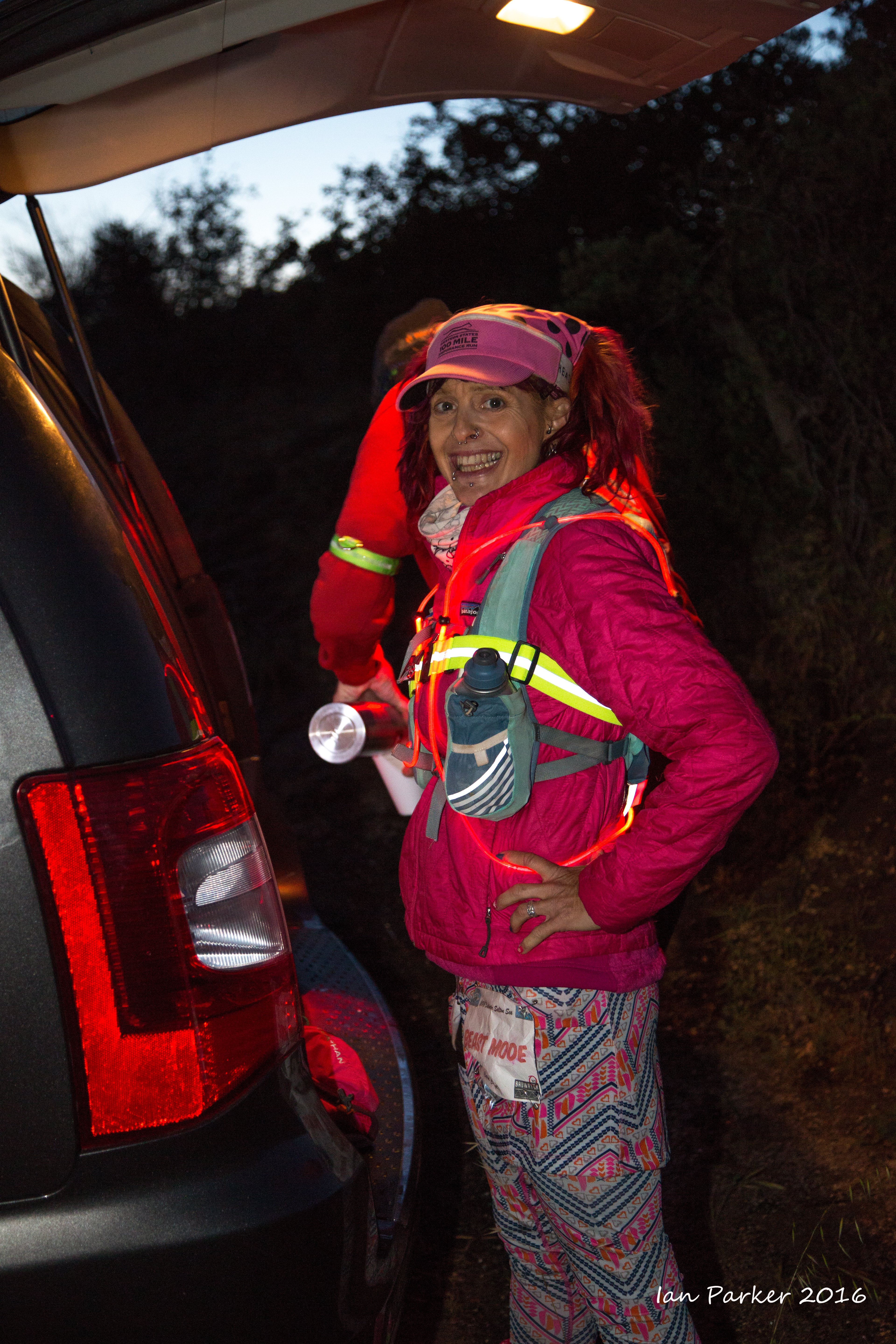
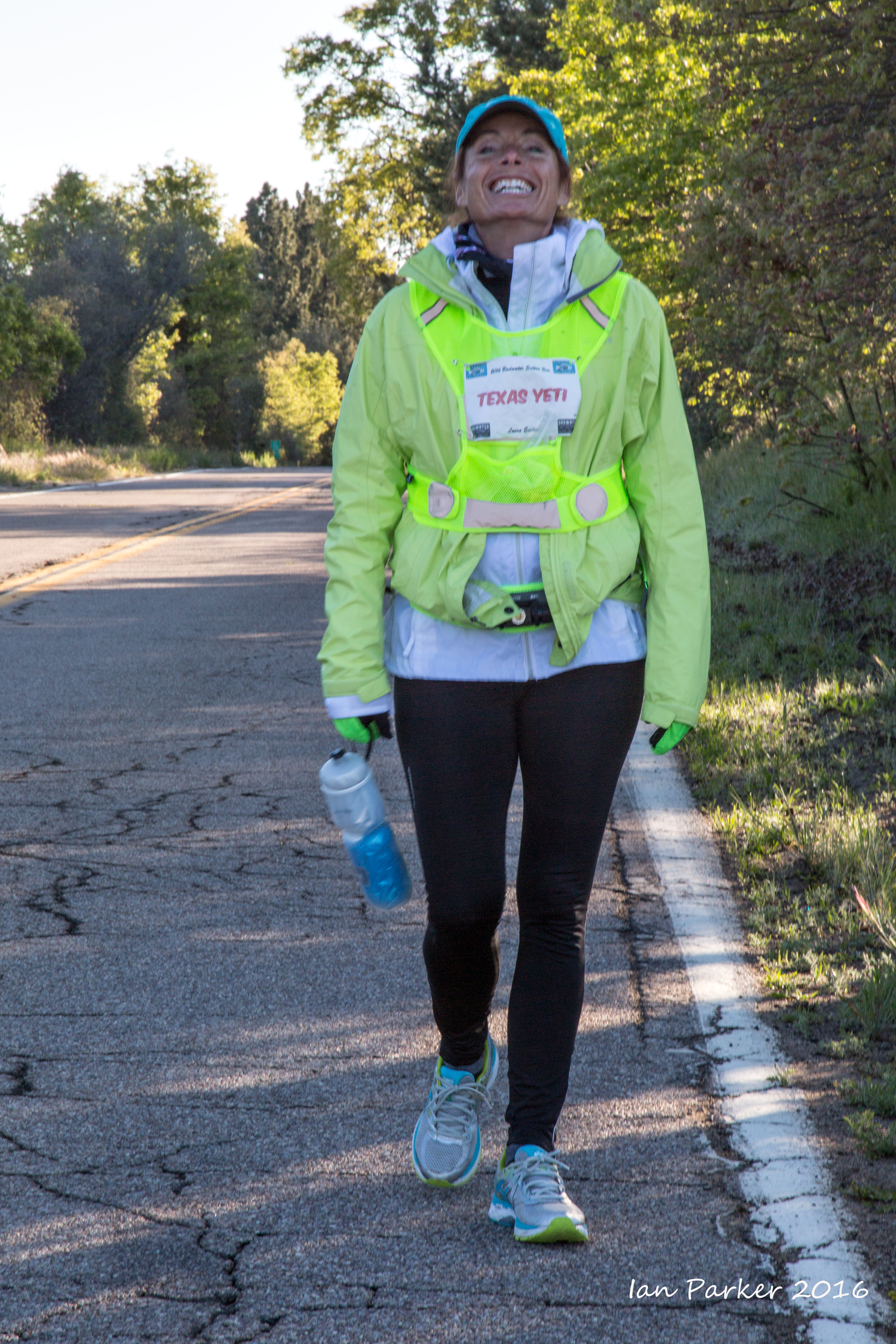
An excursion to photograph the Badwater Salton Sea ultra- marathon: This remarkable event challenges up to 35 teams of two or three ultrarunners – running together as duos or trios for the duration, NOT in a relay – to tackle an unimaginable traverse of Southern California deserts and mountains. The route covers 81 miles (130km) non-stop from below sea level at the shoreline of the Salton Sea, across, up, and over Anza-Borrego Desert State Park, to the top of Palomar Mountain with a dramatic view of the Pacific Ocean. |
A rainbow and gulls while driving down I5 to the race HQ at Borrego Springs
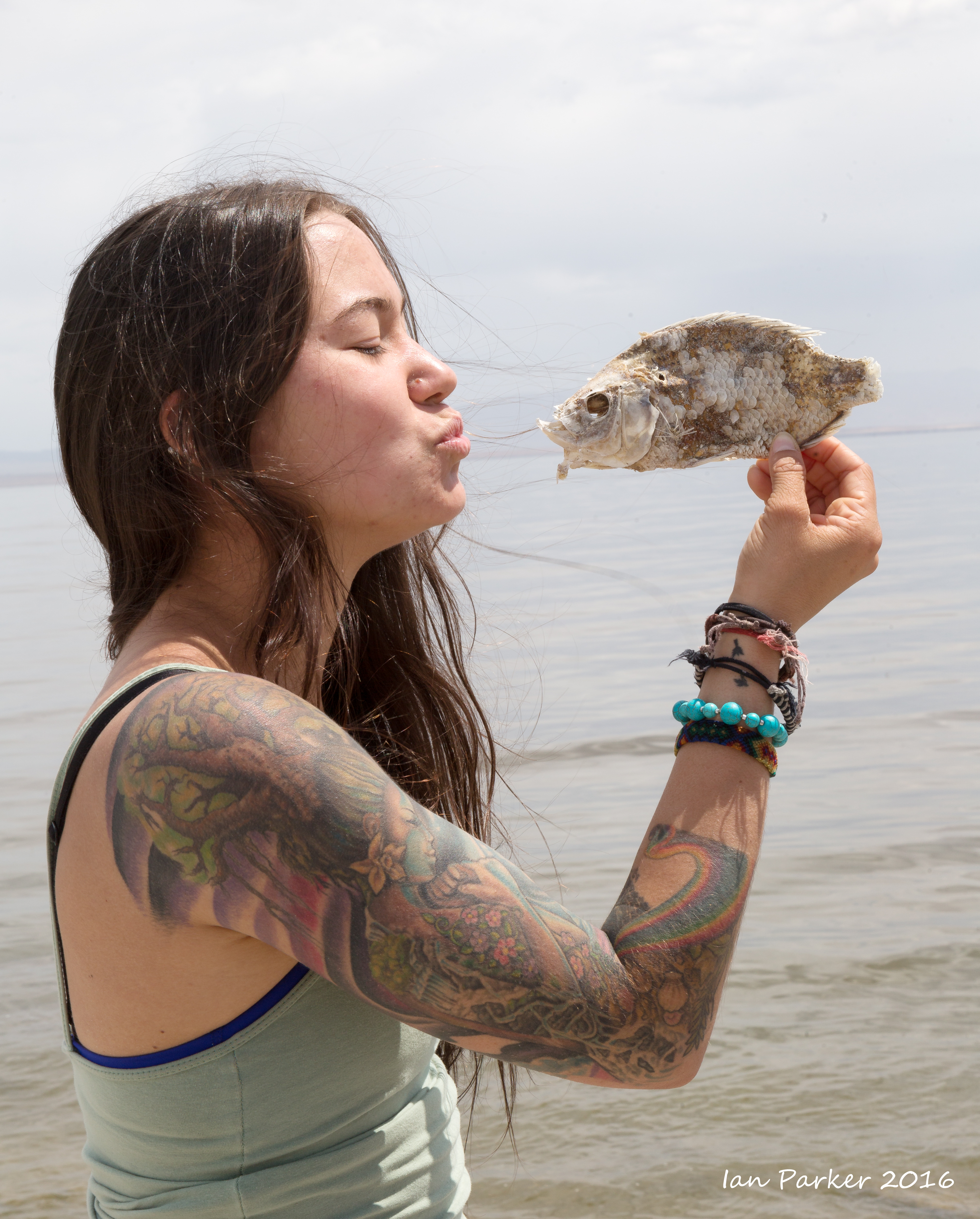
An excursion on Saturday morning to visit thestart line on the shore of Salton Sea, and check out the dead fish that inspired the race logo
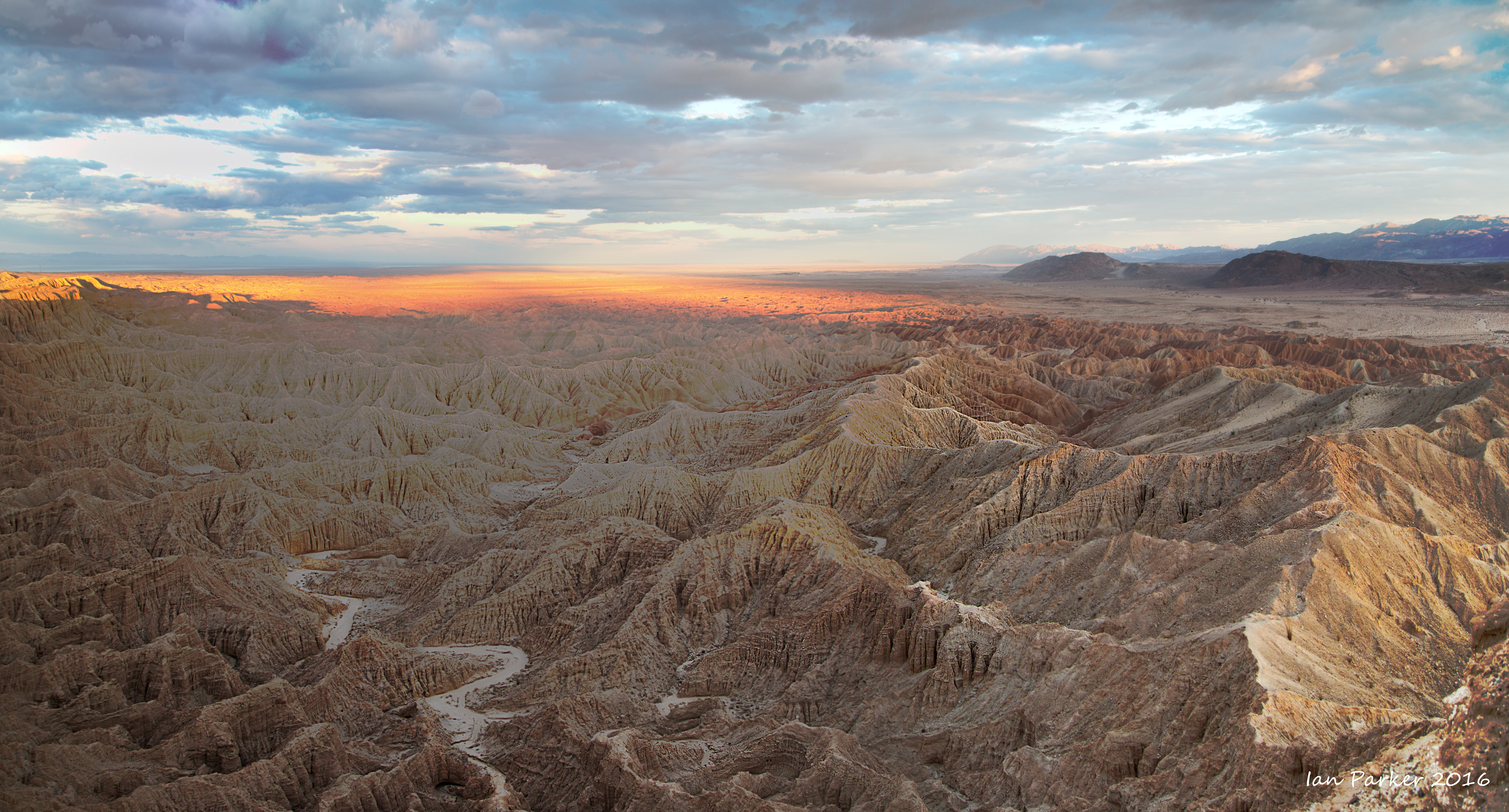
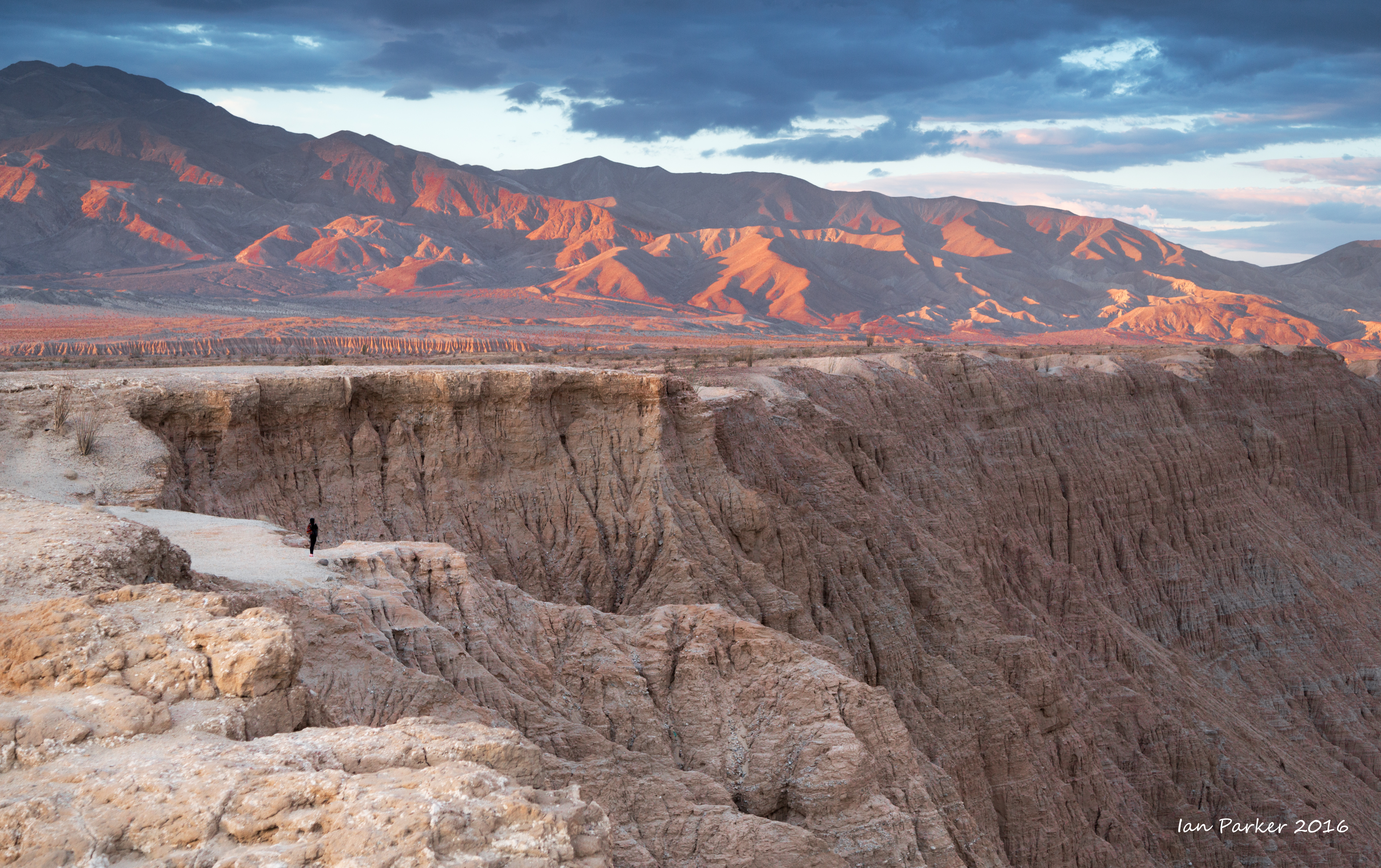
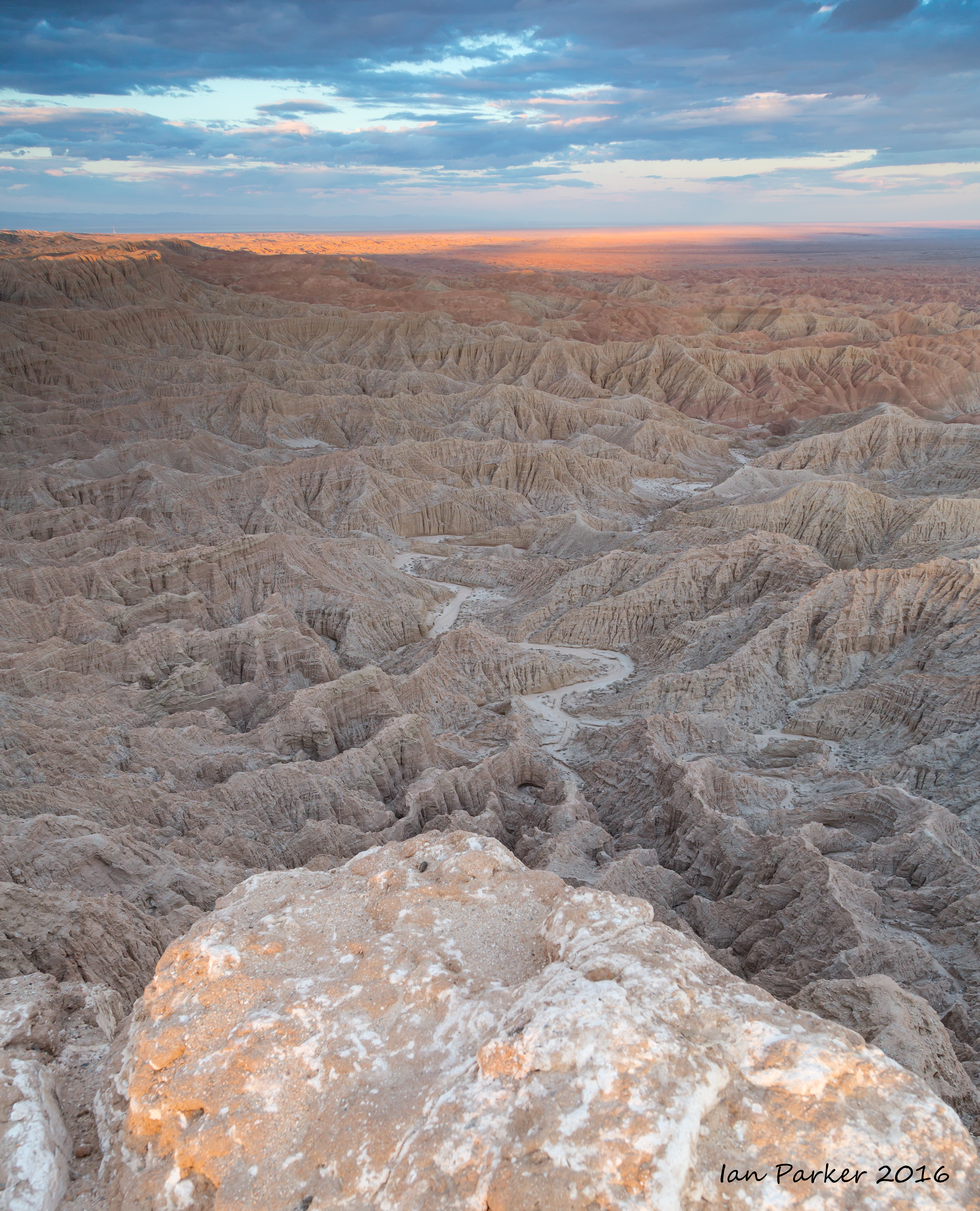
On the Saturday evening before the race I drove out to Font's Point for sunset.
I camped for the night along a small side wash.
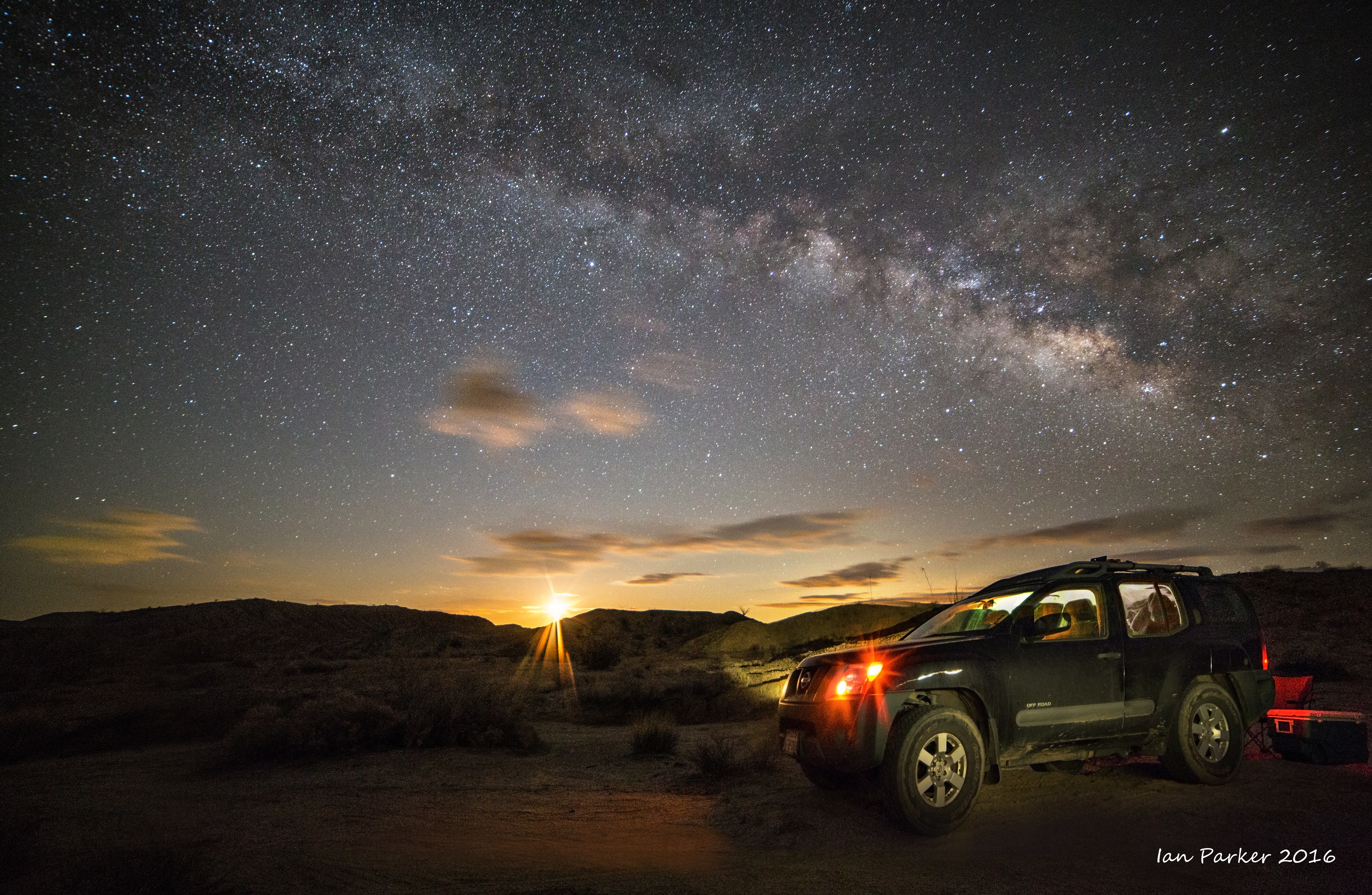
Waking at about 2:00am, the sky had cleared, the Milky Way was bright, and there was a faint glow to the East from the not-yet-risen crescent moon. It seemed worth getting out of my sleeping bag to do some night photography.
I re-set my alarm to leave in good time to drive to the race start at 6:30 am.
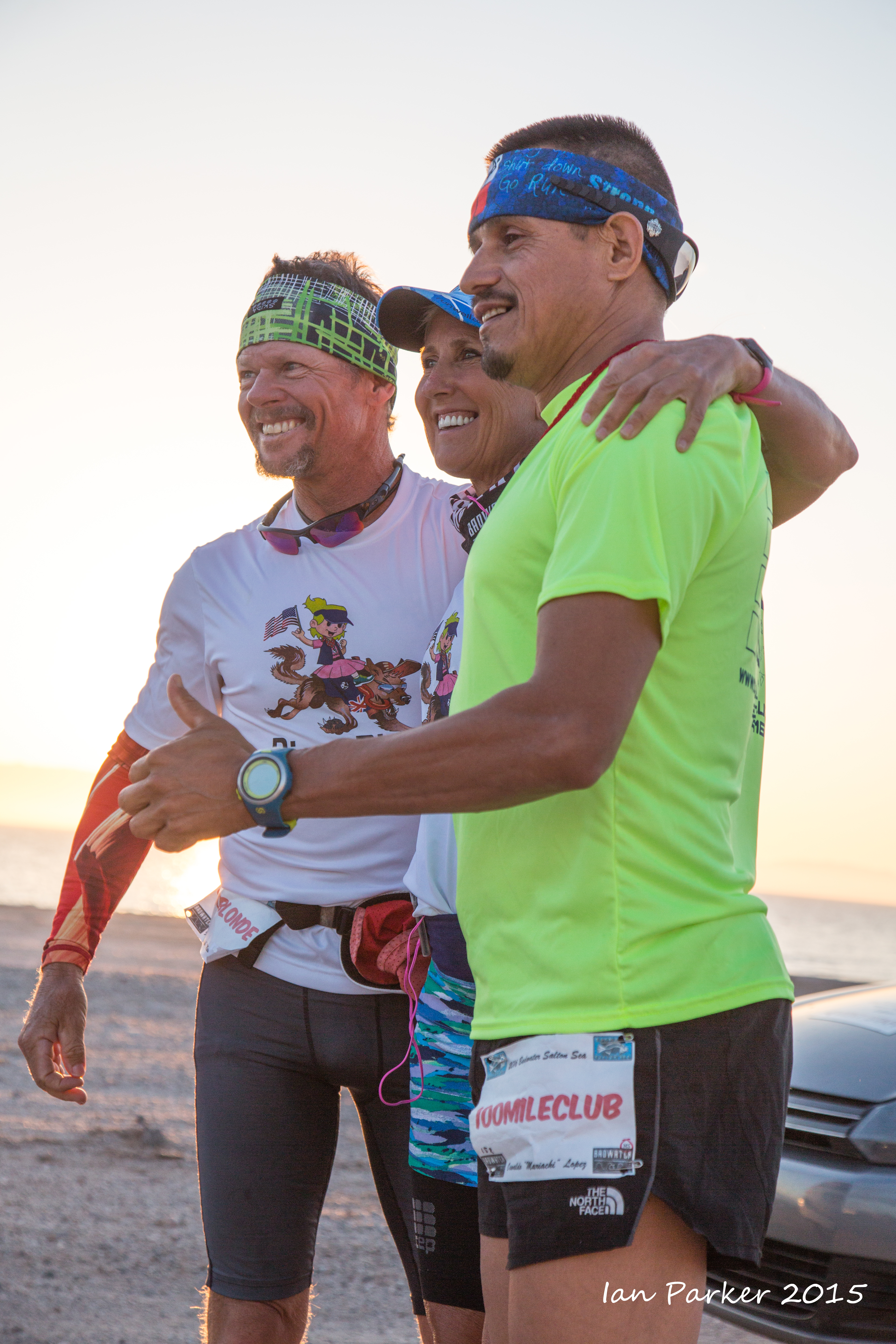
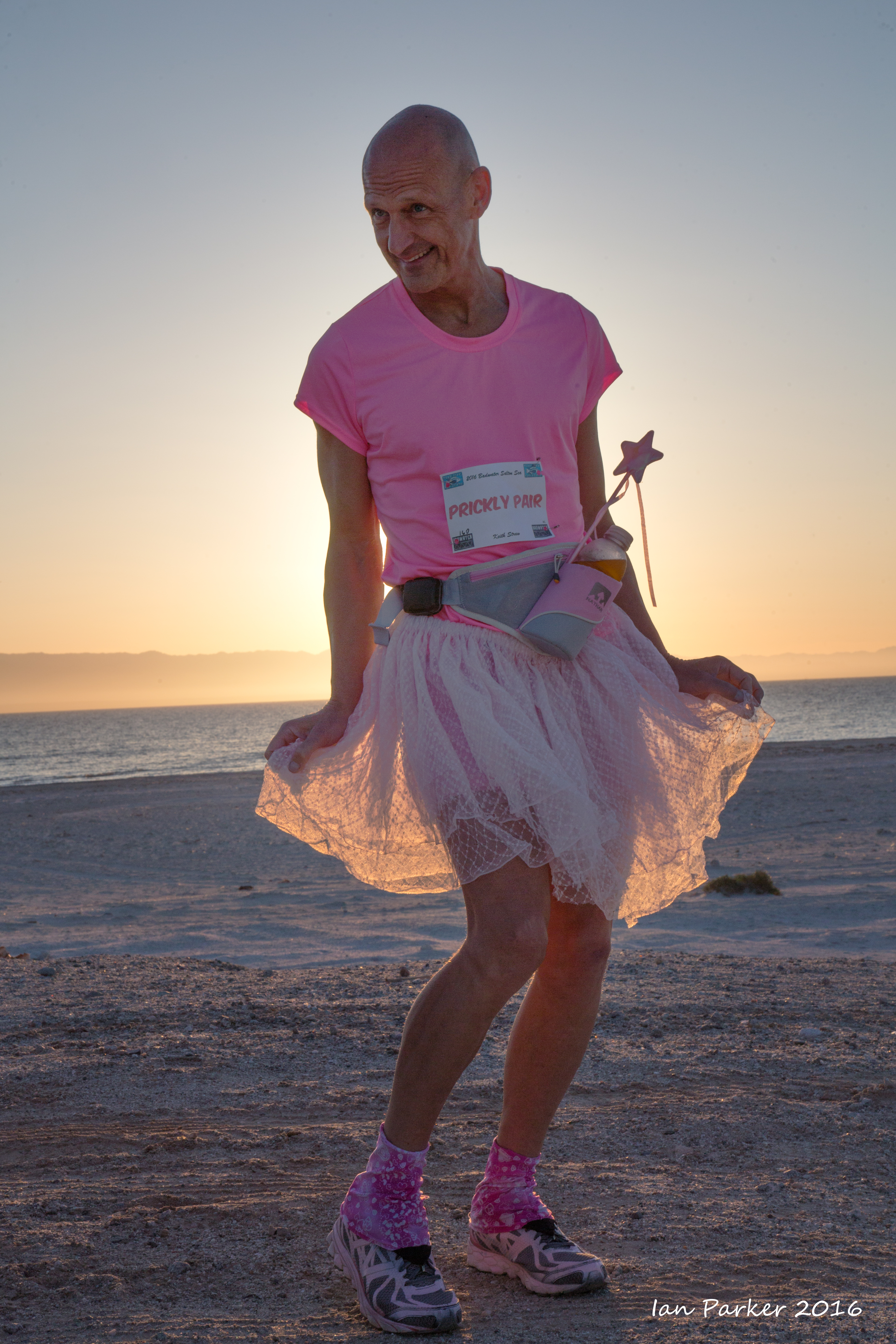
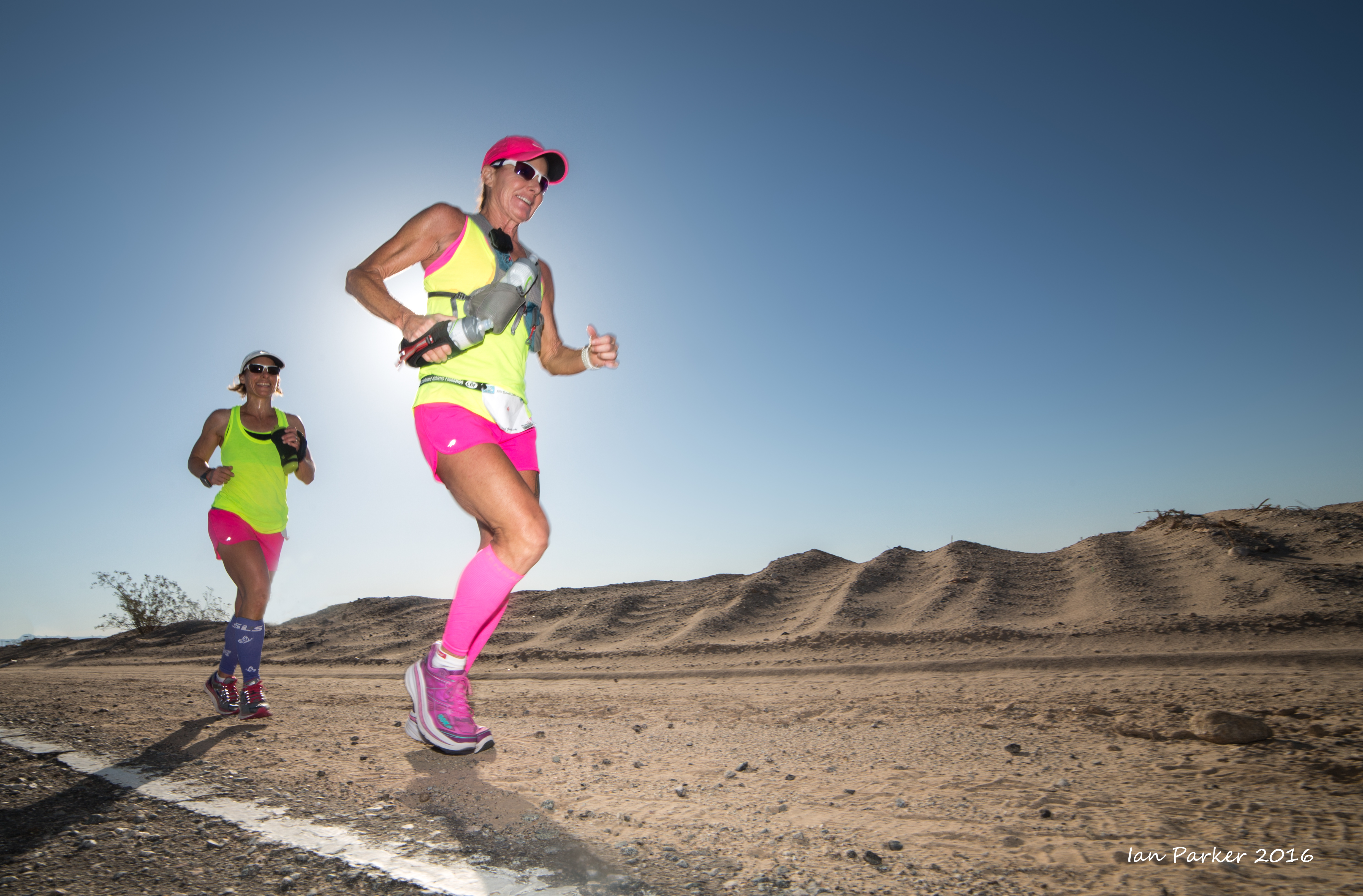
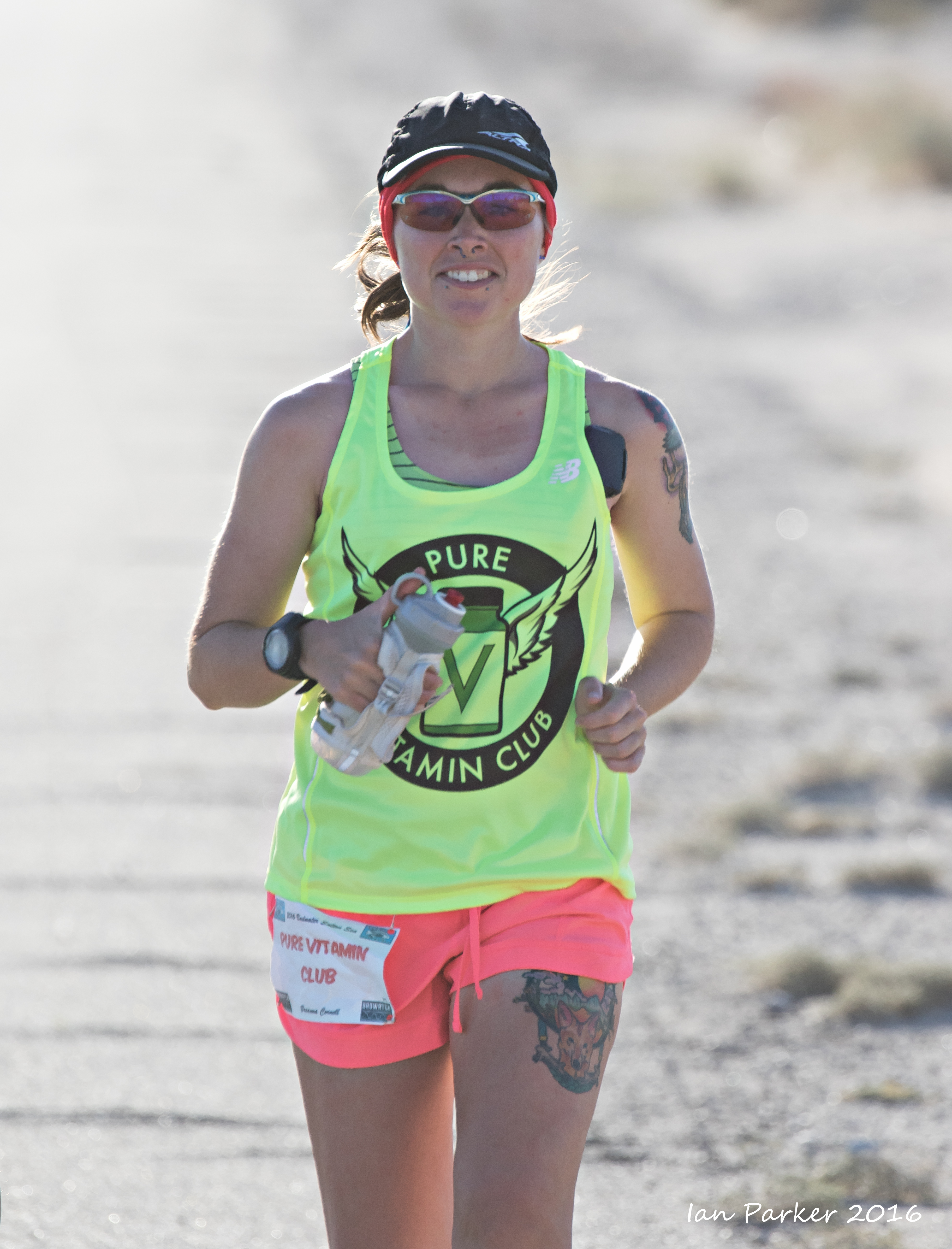
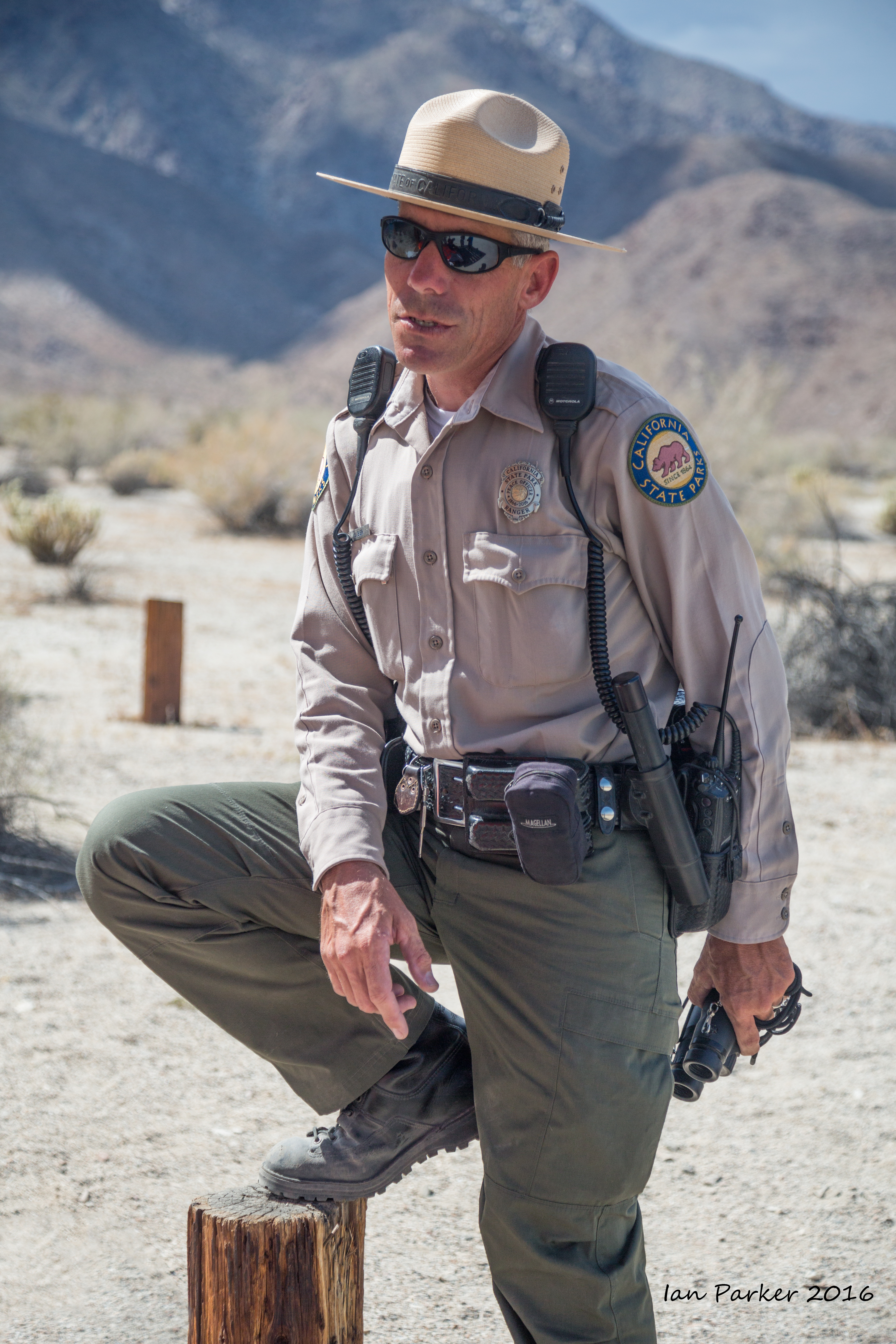
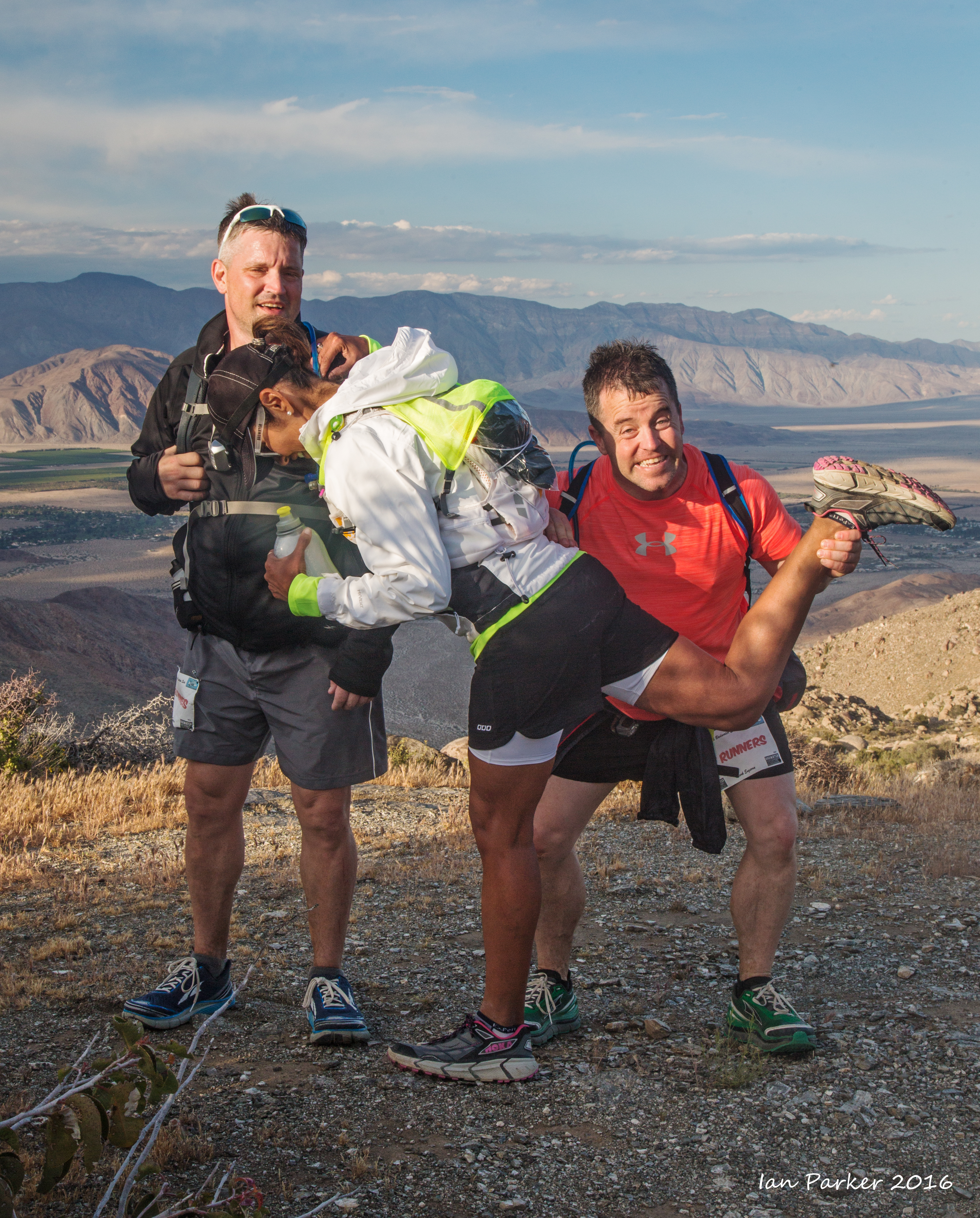
Some runner and team portraits before the start
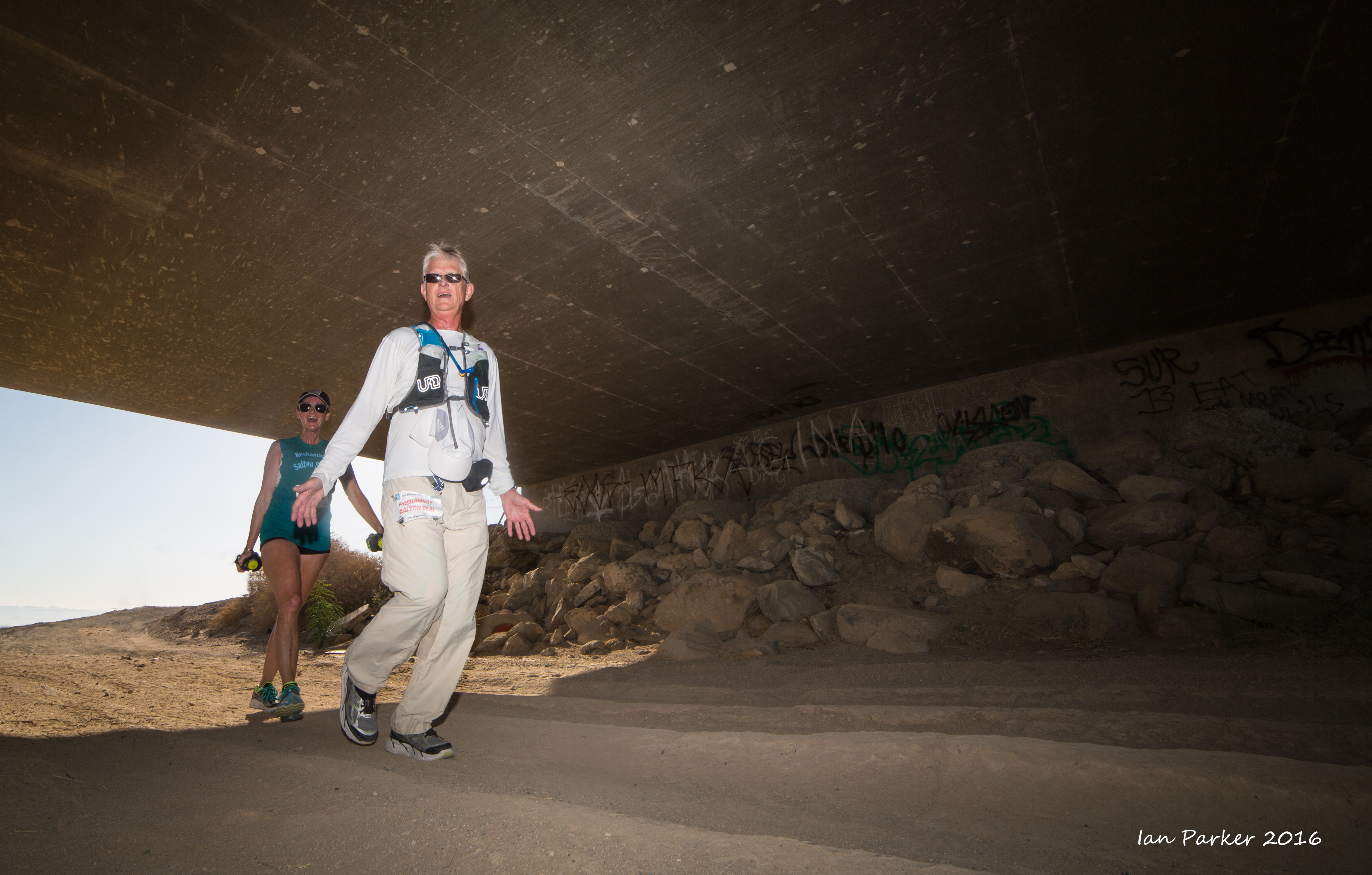
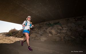
Fill-flash photos of runners near the highway underpass at mile 6.
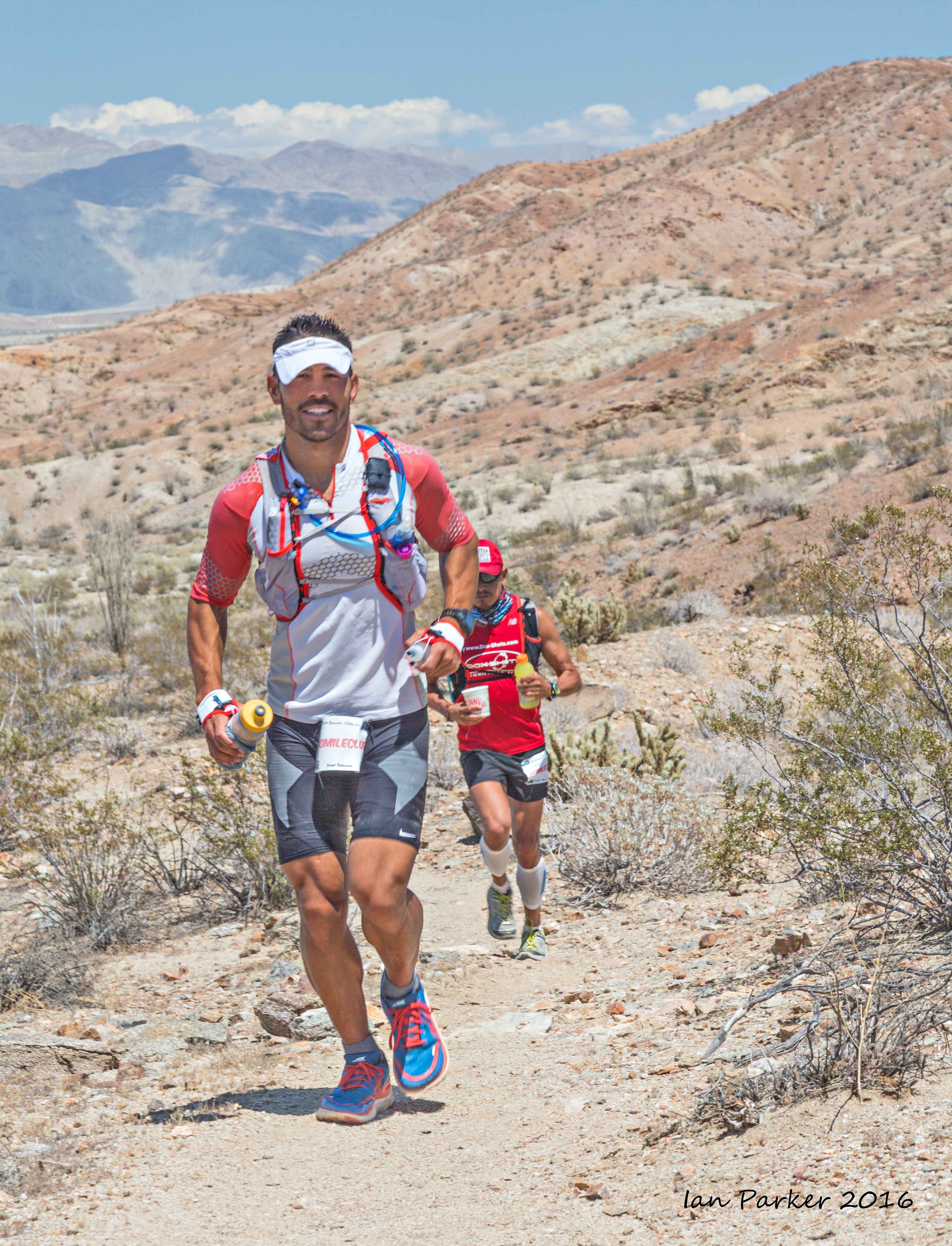
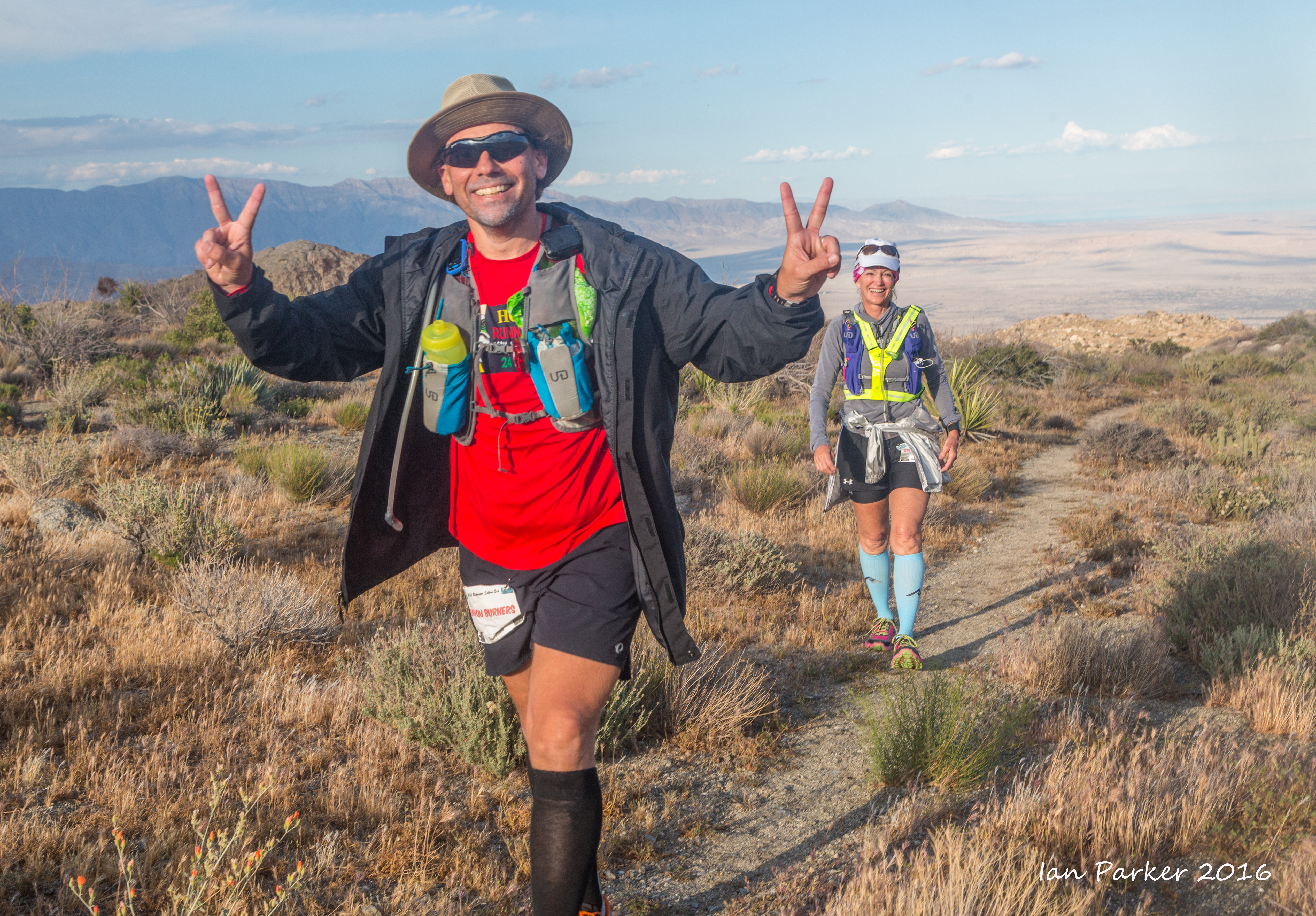
Running through the desert section of Anza Borrego State Park
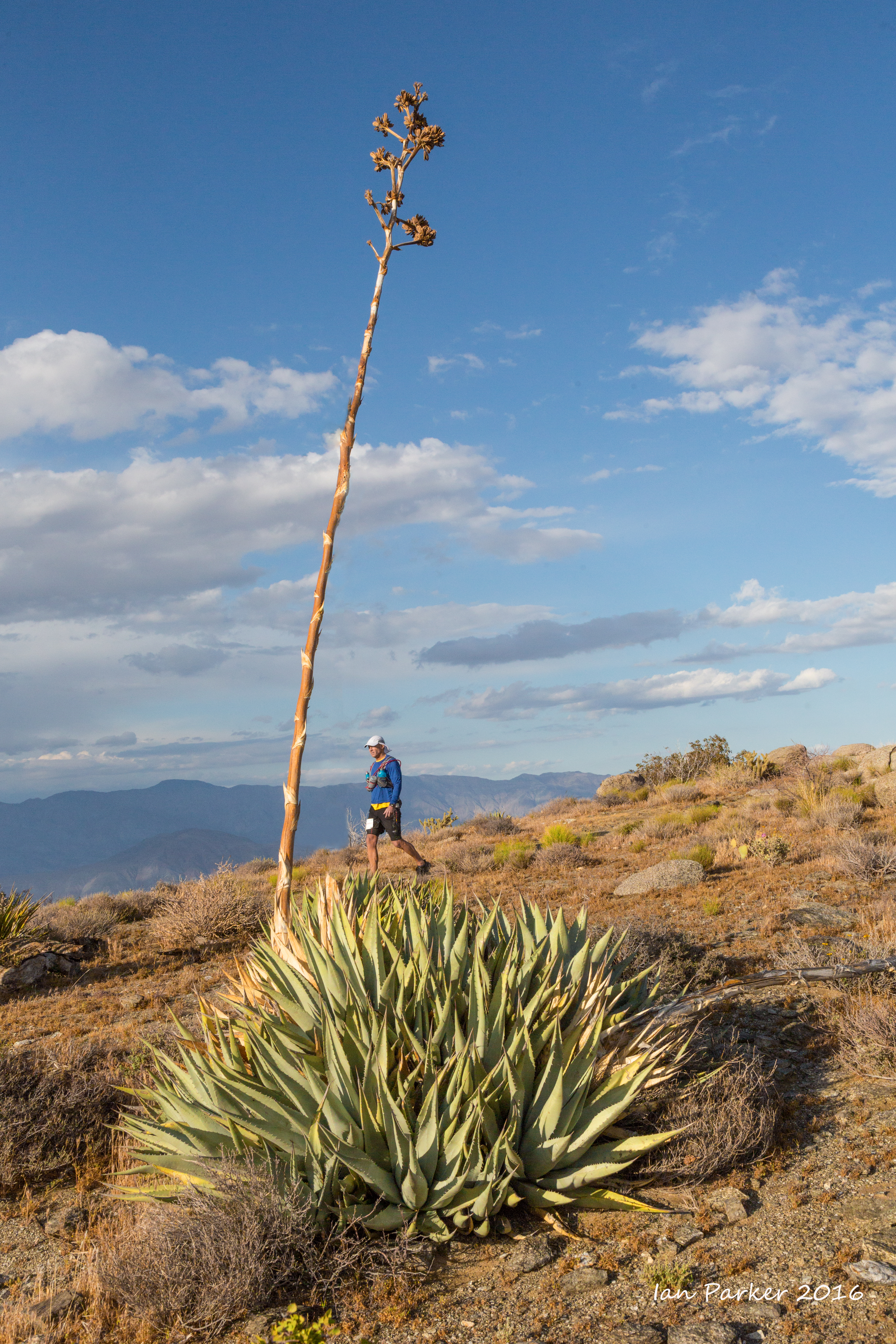
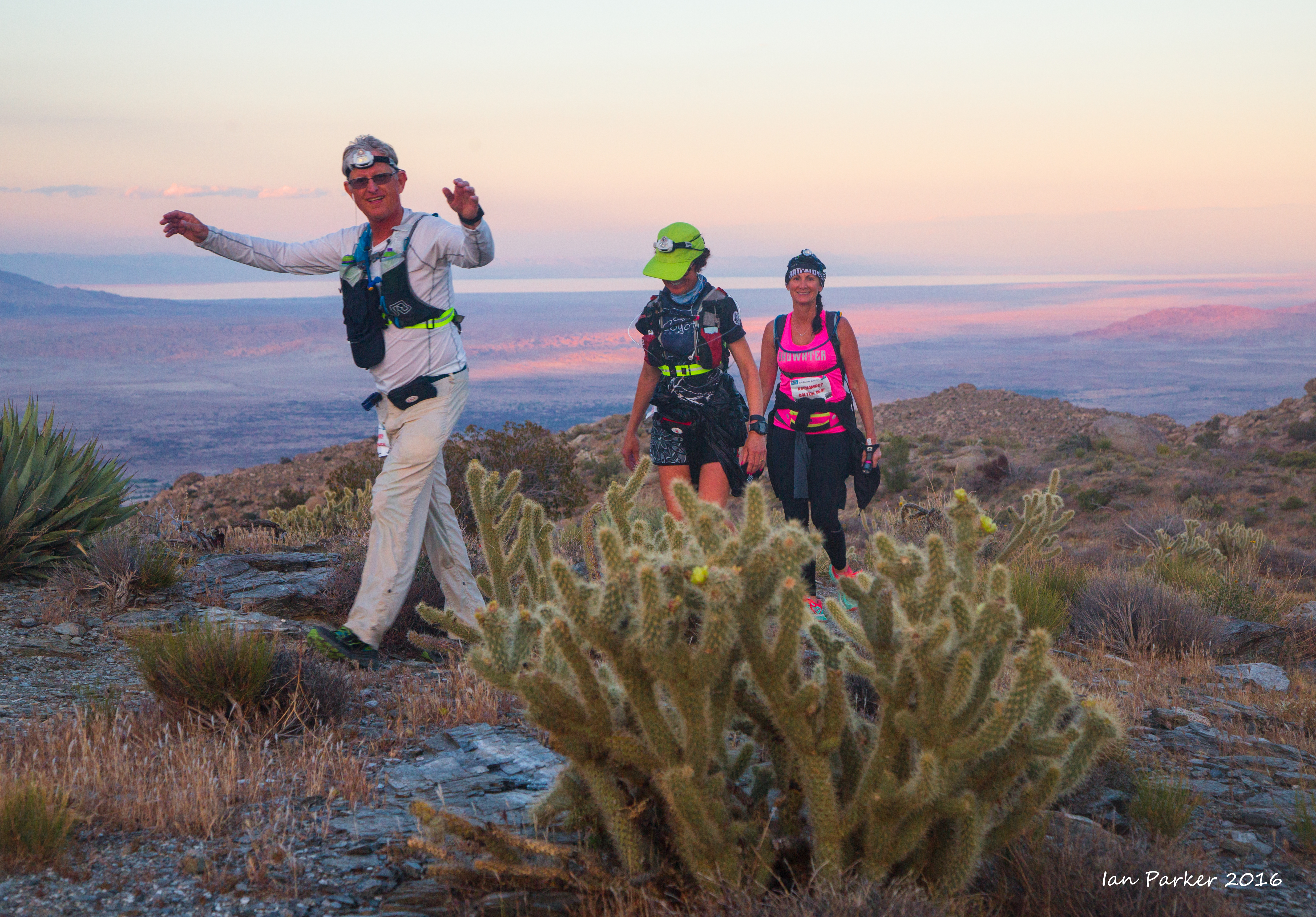
At mile 40 the runners leave the road and begin a major climb up the California Riding and Hiking Trail
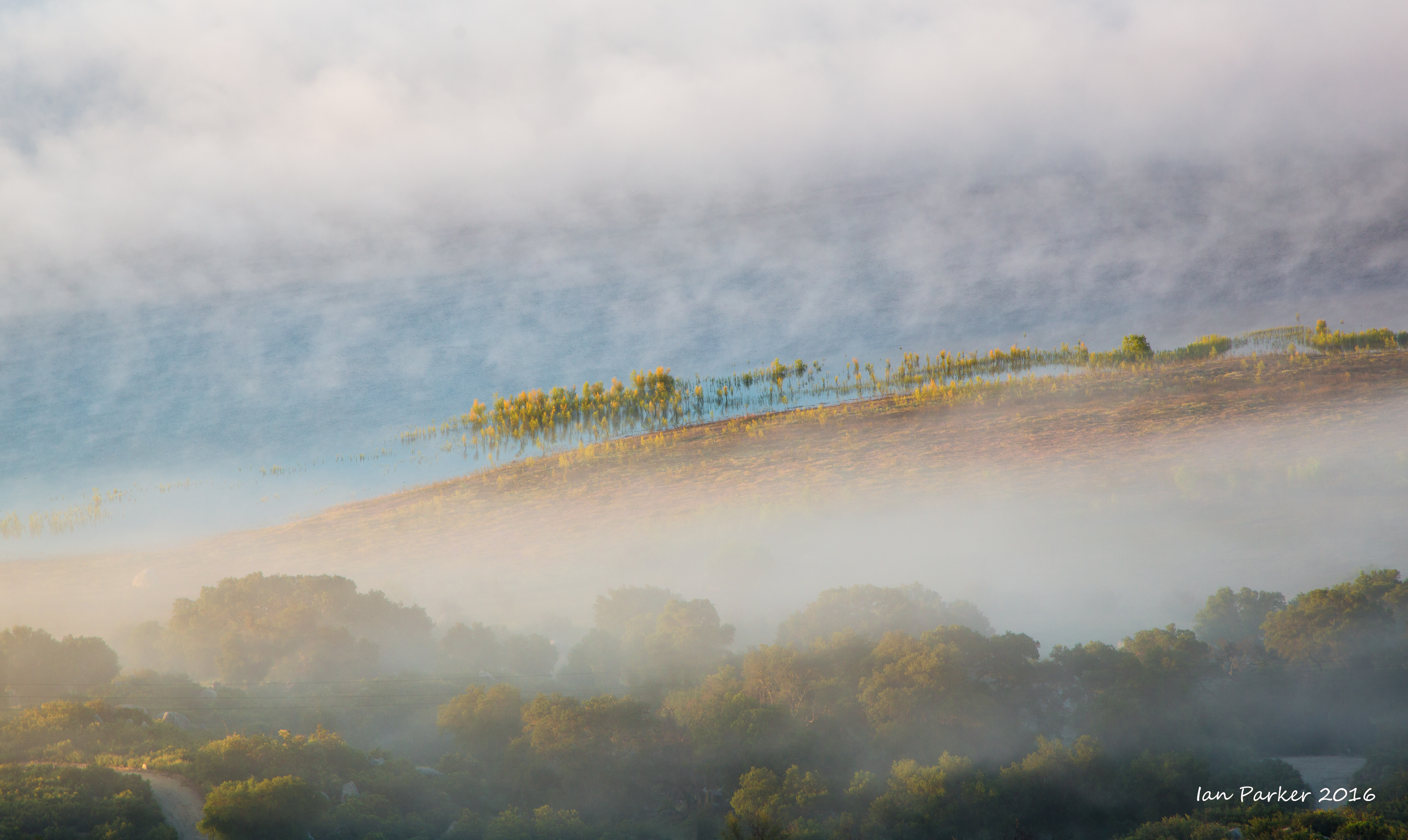
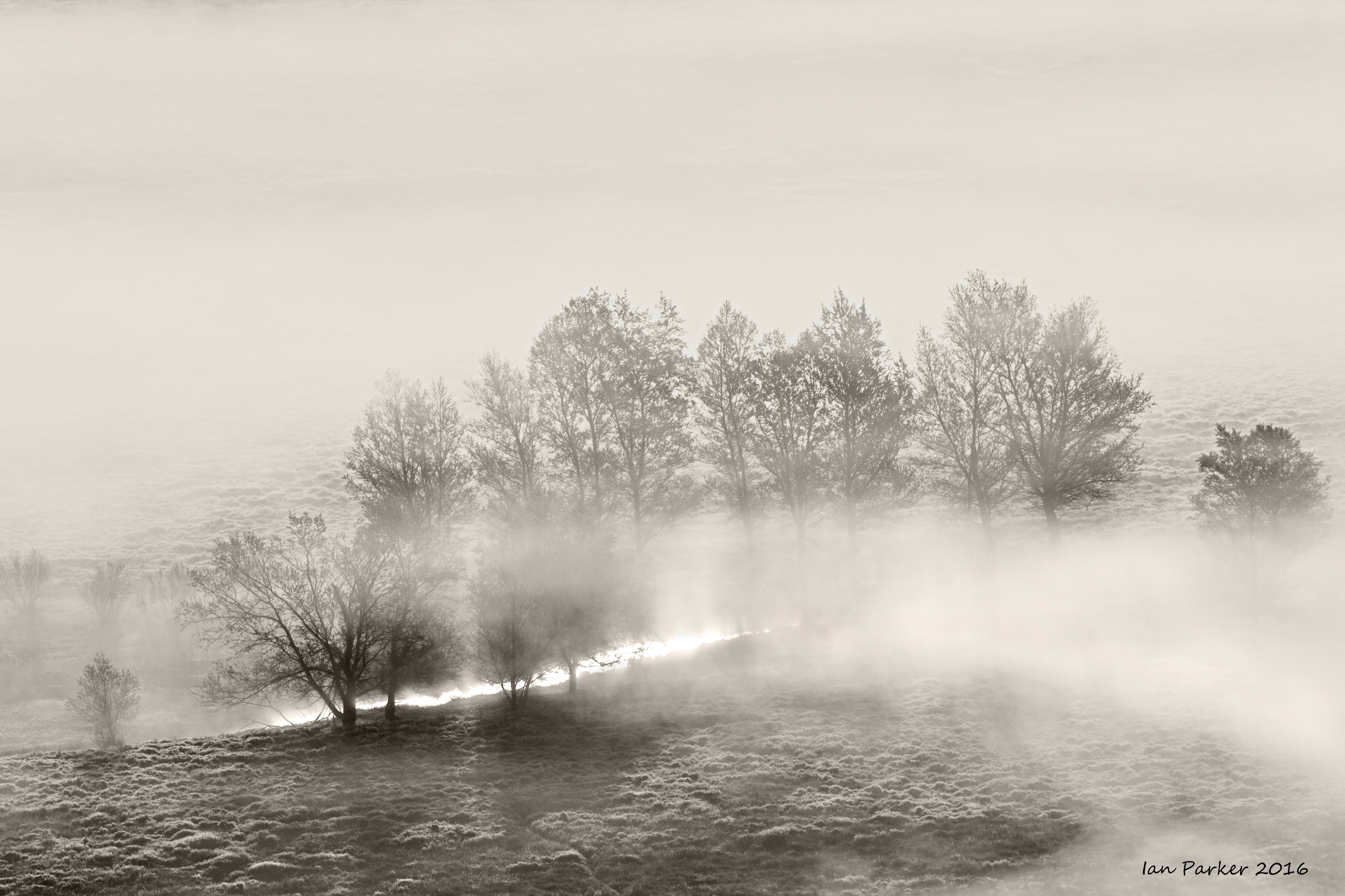
The runners continued through the night, while I got a good sleep camped at the top of the Jasper Trail. Setting off before dawn to catch up with the slower runners I was delayed while driving up the East Palomar grade by a wonderful panoramic view of fog over Lake Henshaw and the surrounding valley.
March 26
Toroweap - the literal end of the road, and my last stop before the long, slow drive home amongst Vegas traffic.
March 25
Petroglyphs on the jumbled boulders of a lava escarpment: Nampaweep Pictograph Site, Grand Canyon-Parashant National Monument
March 24
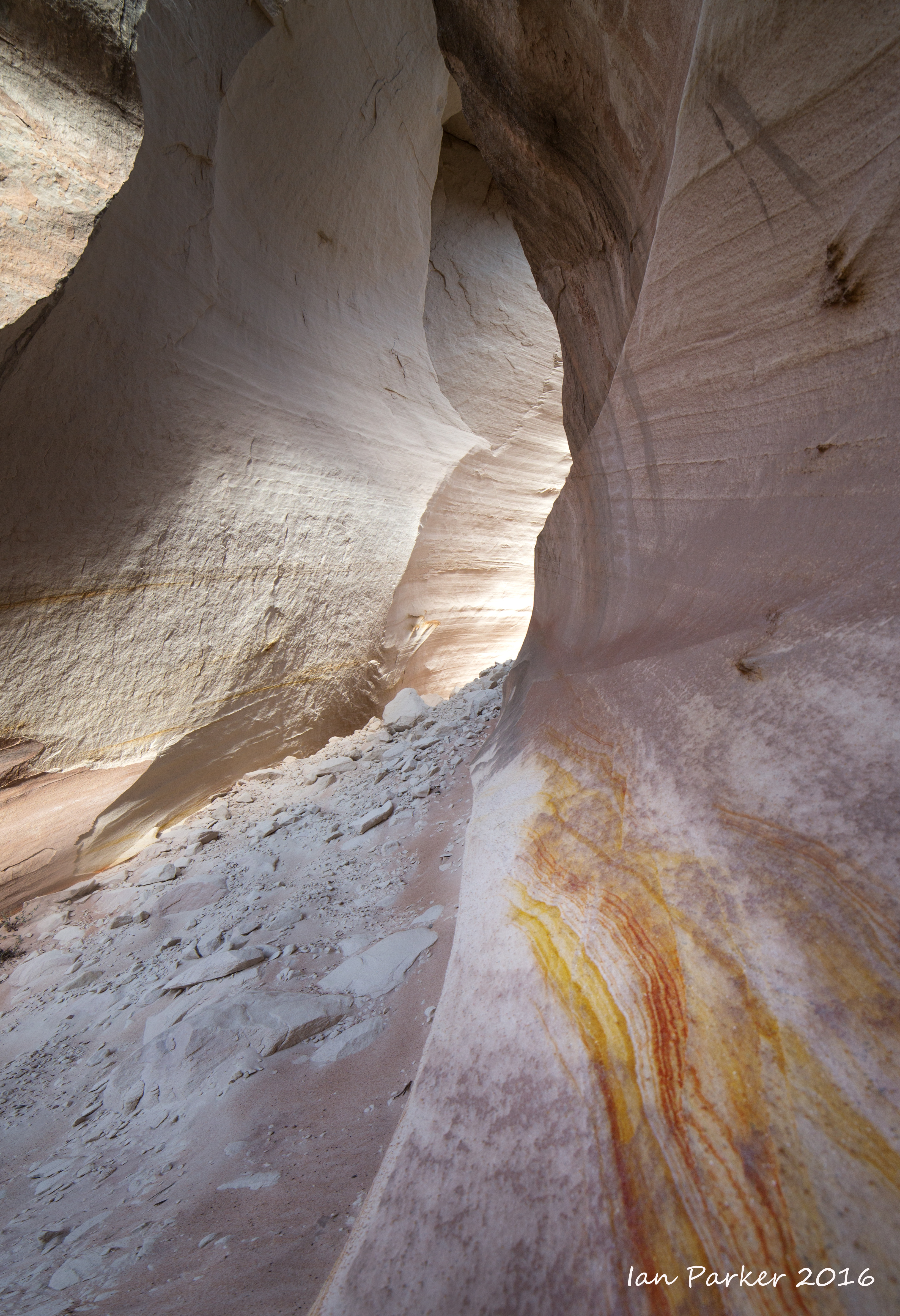
A brief detour to the Nautilus. A recent rockfall left debris in the bottom of the chute, marring the perfection of this unusual feature, so I concentrated on photographing small-scale patterns in the walls.
Badlands by Old Pareah Townsite, Utah
March 23
A hike down Snake Gulch (Kaibab National Forest) in search of pictographs and petroglyphs
March 22-23
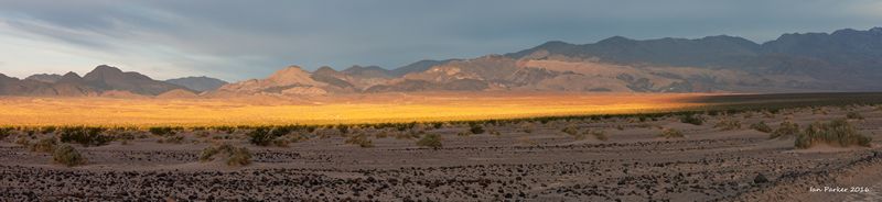
En-route through Death Valley on my way to Arizona
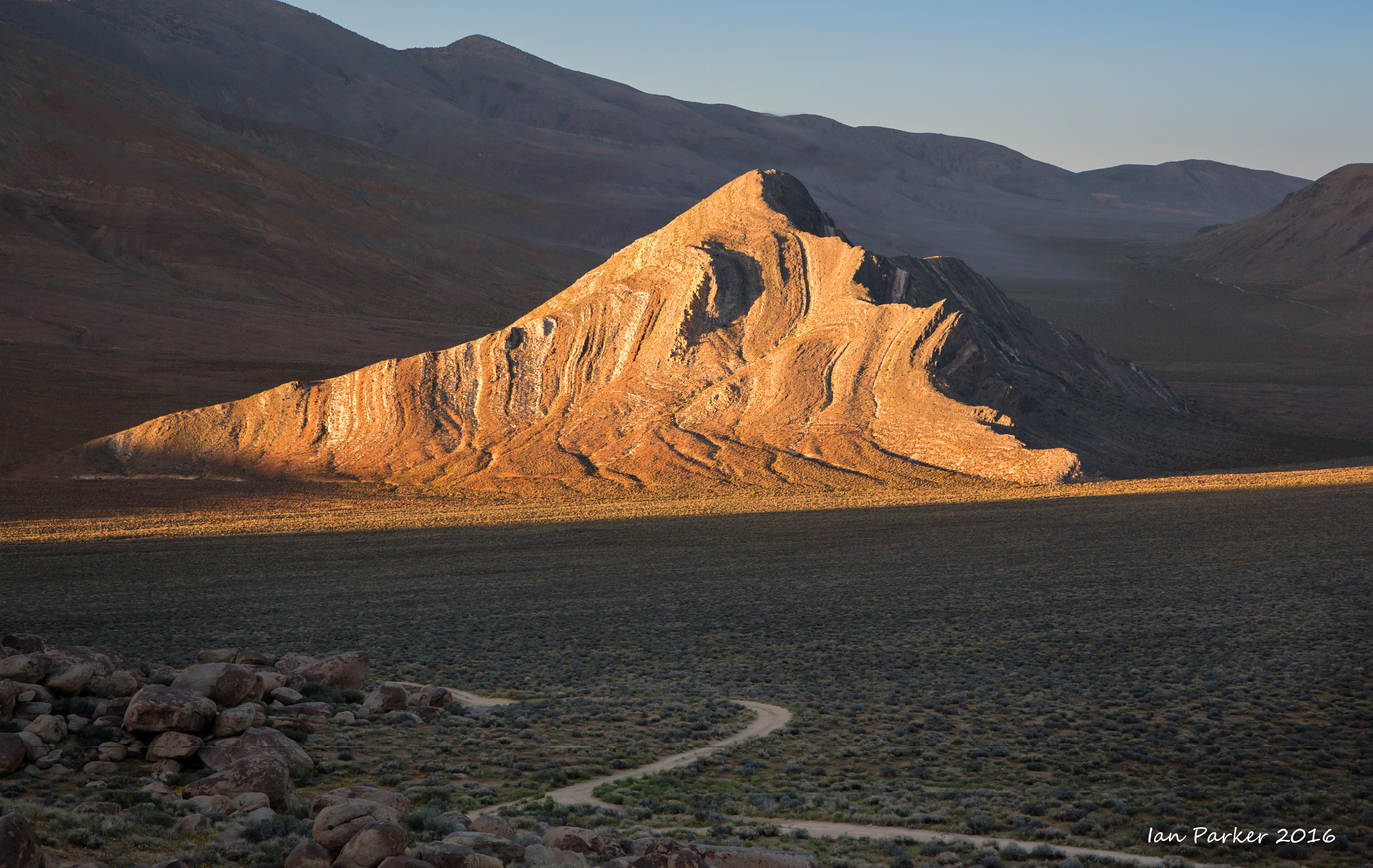
Overnight in Butte Valley trying for a good photo of Striped Butte. At this time of year the sun sets over a pass in the Panamint mountains, creating a narrow shaft of light that exactly falls on the 'striated' face of Striped Butte.
March 21
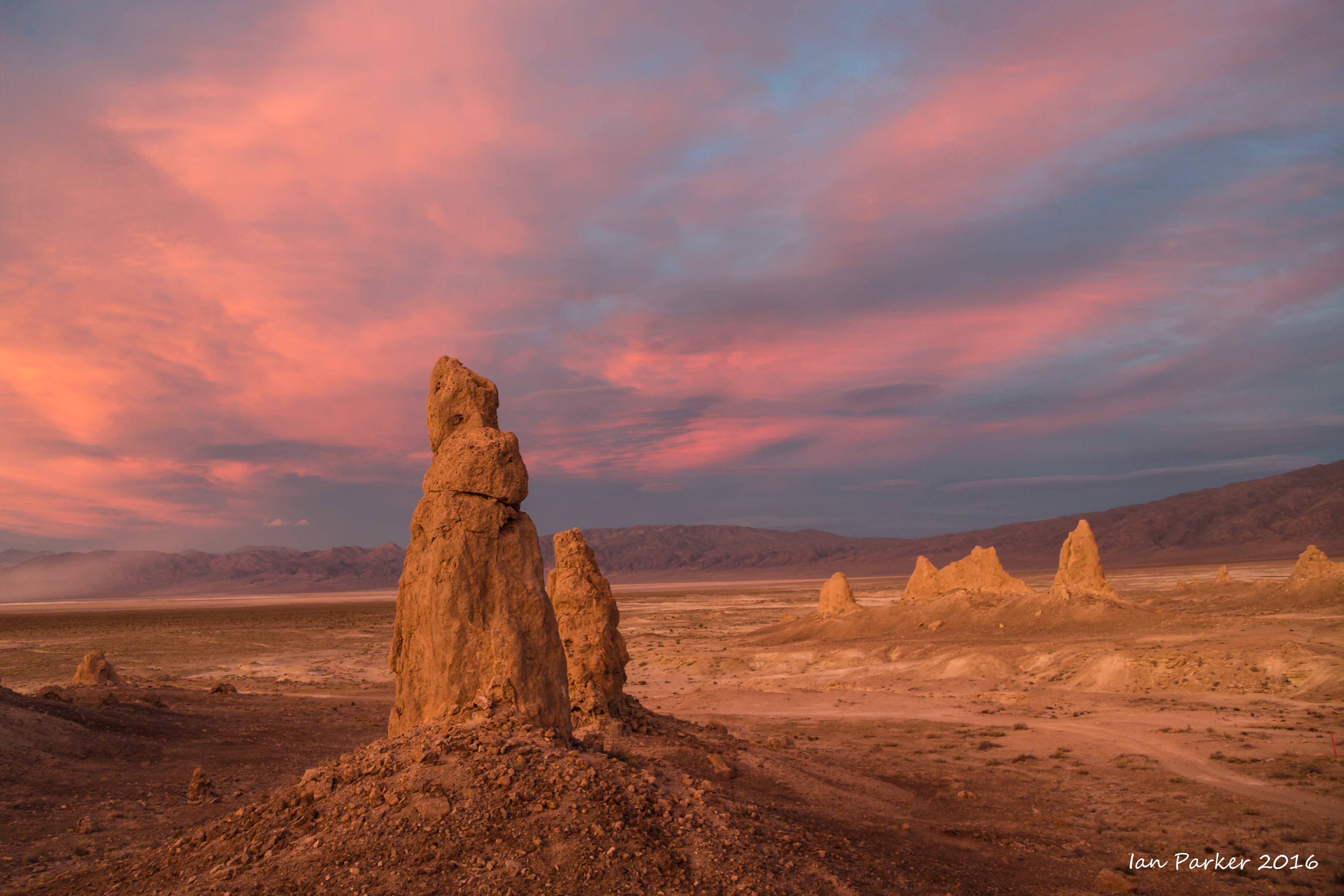
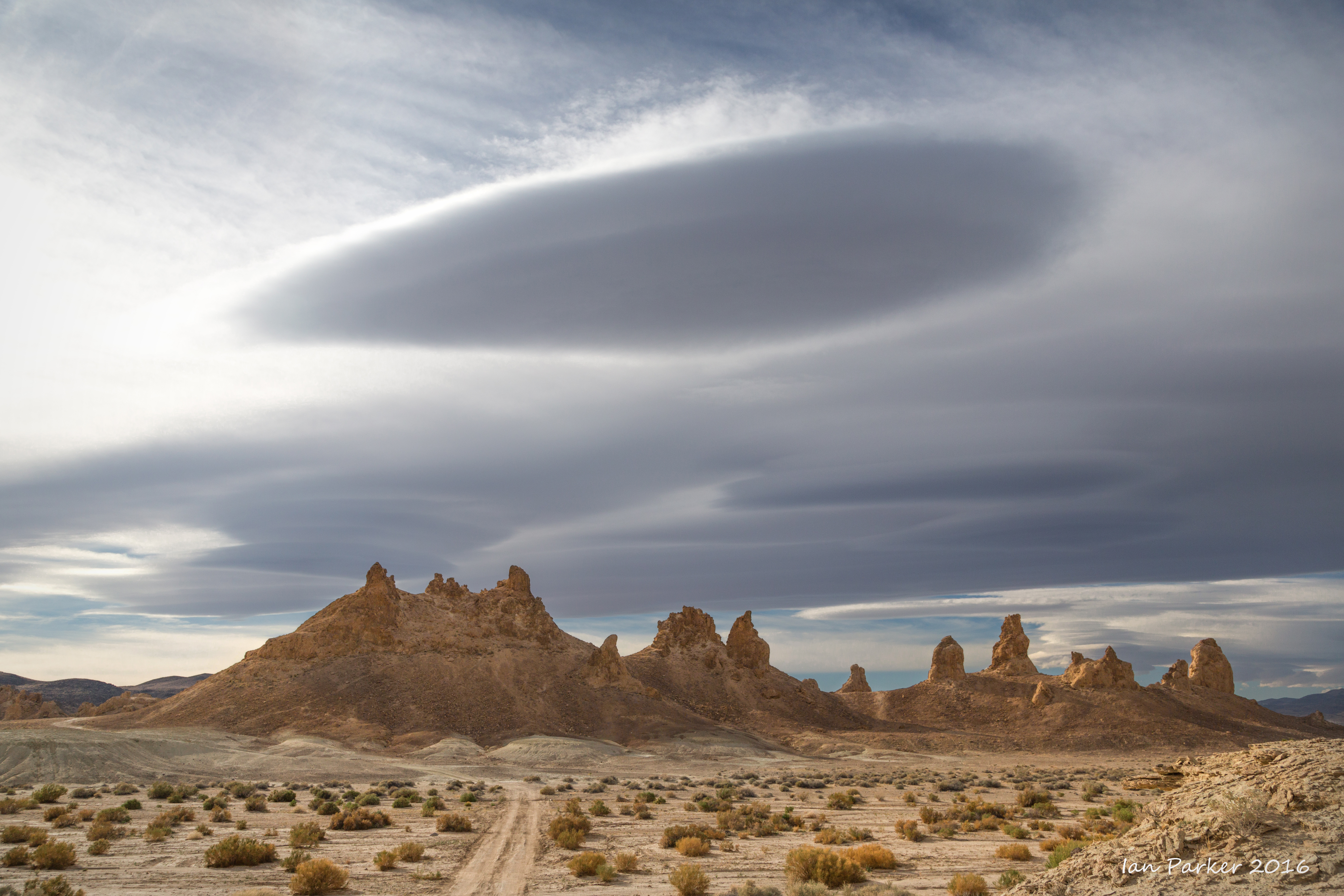
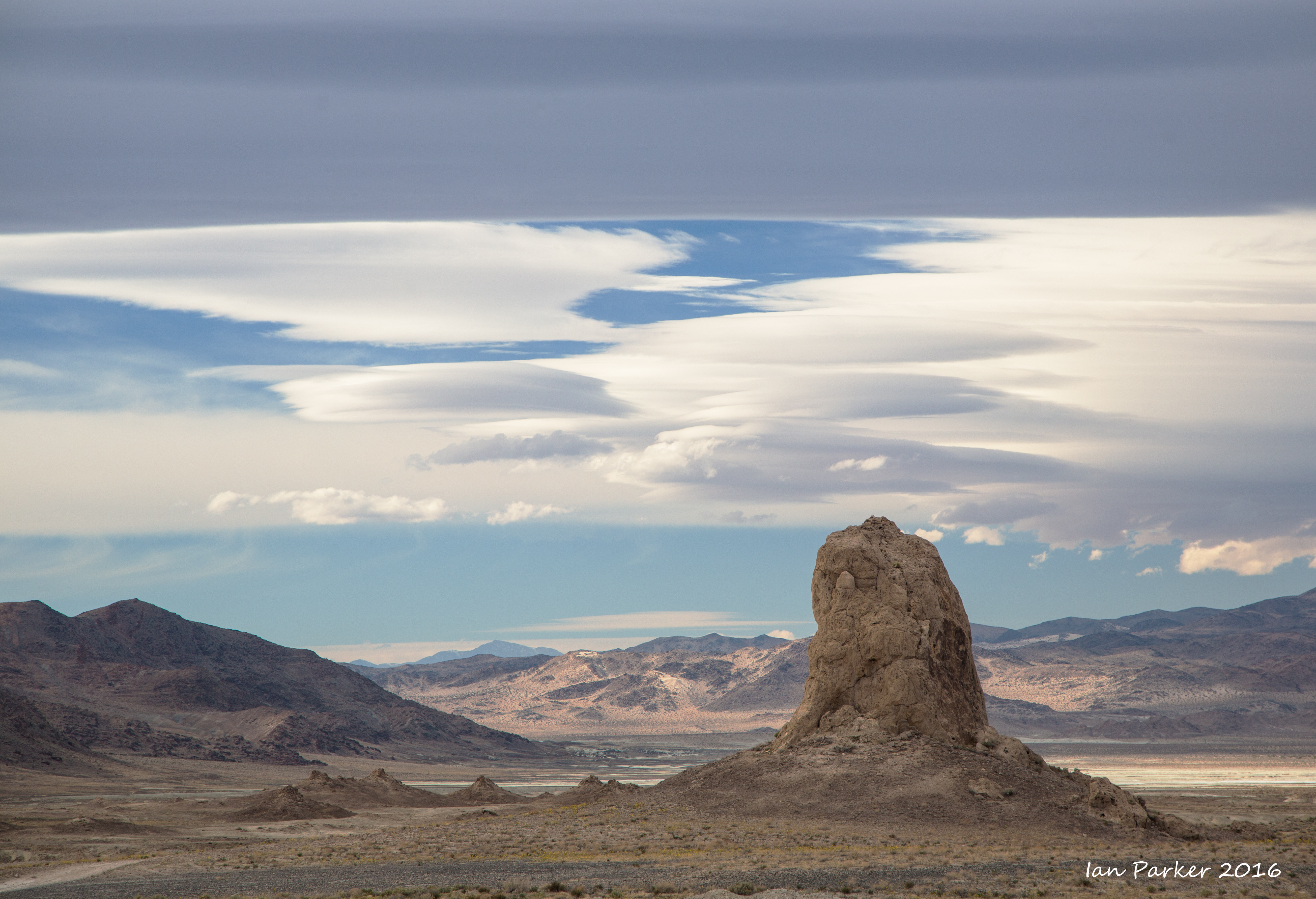
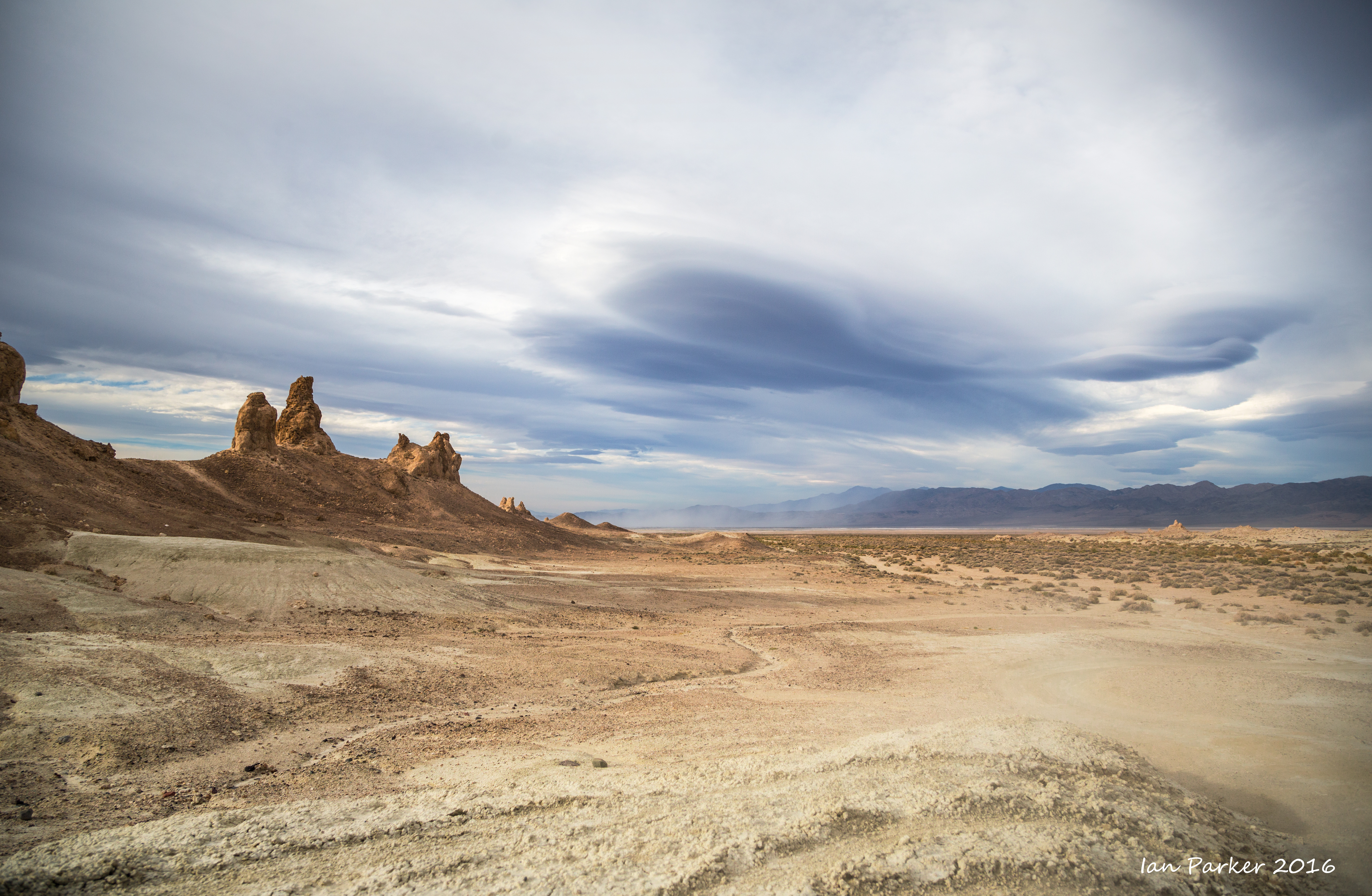
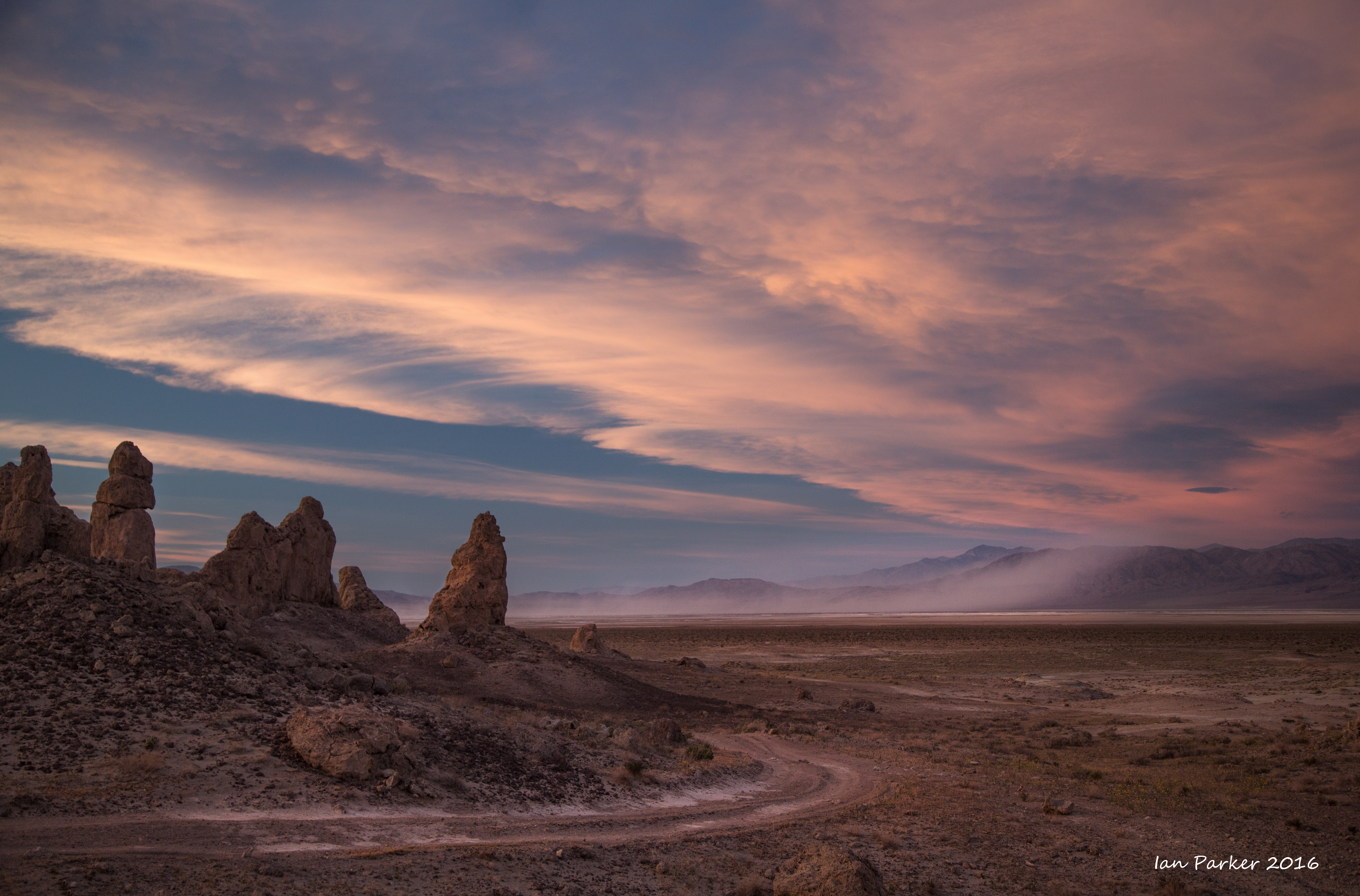
An overnight stop among the Trona Pinnacles. A passing storm front brought strong winds and extravagent lenticular clouds in the afternoon. By evening there was clear sky to the west, allowing the setting sun to shine through, but unfortunately the lenticular clouds had dissipated by that time.
March 19,20
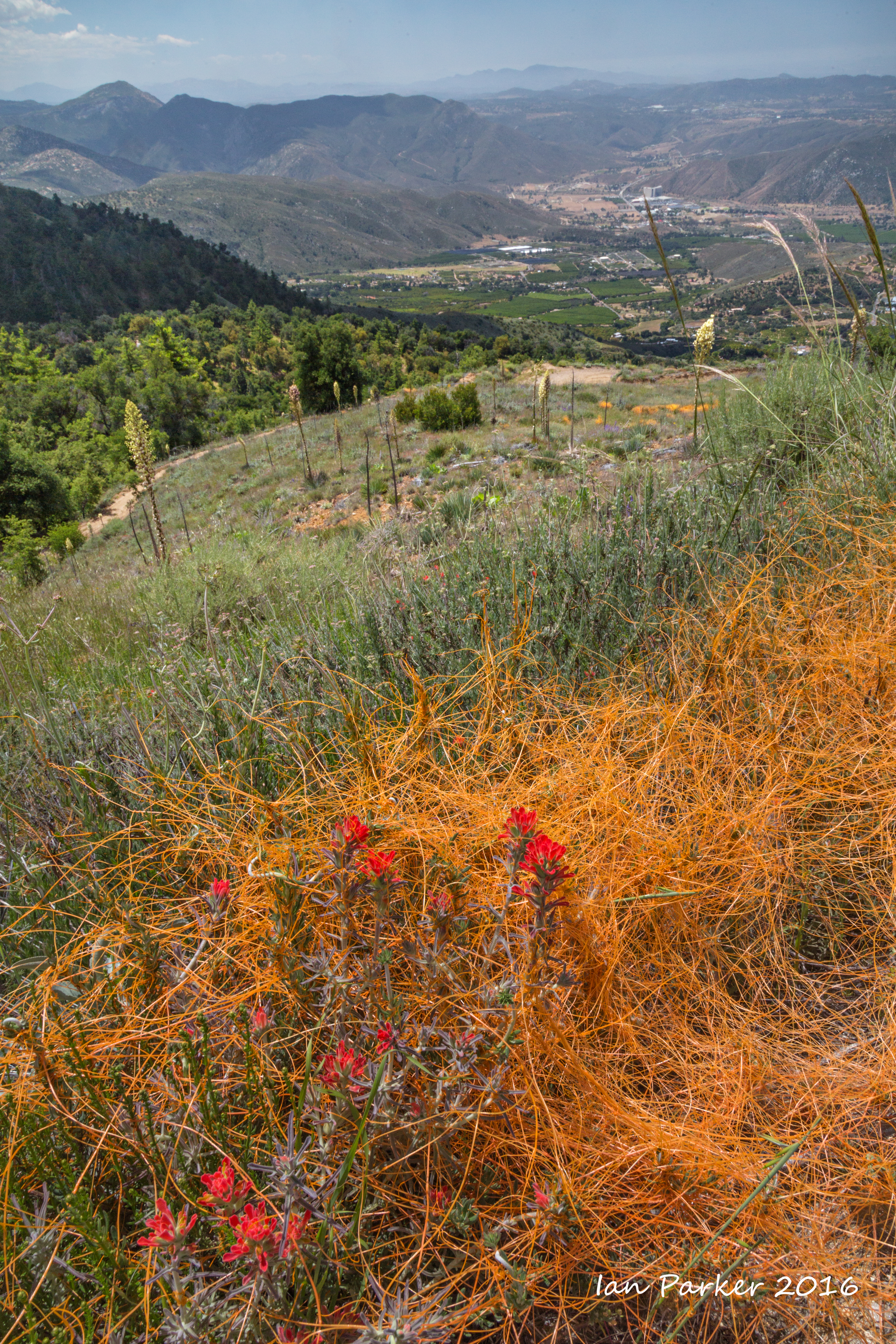
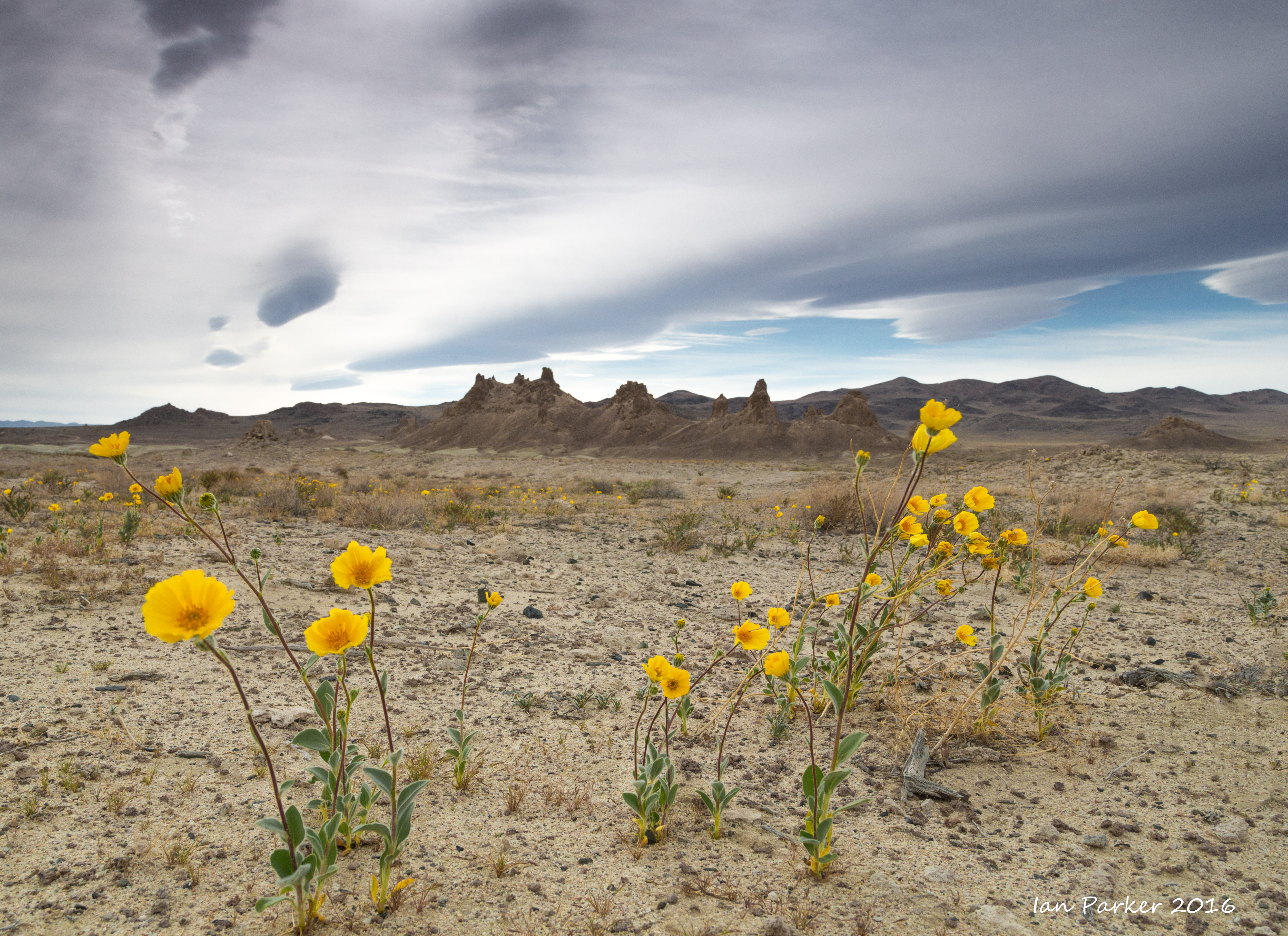
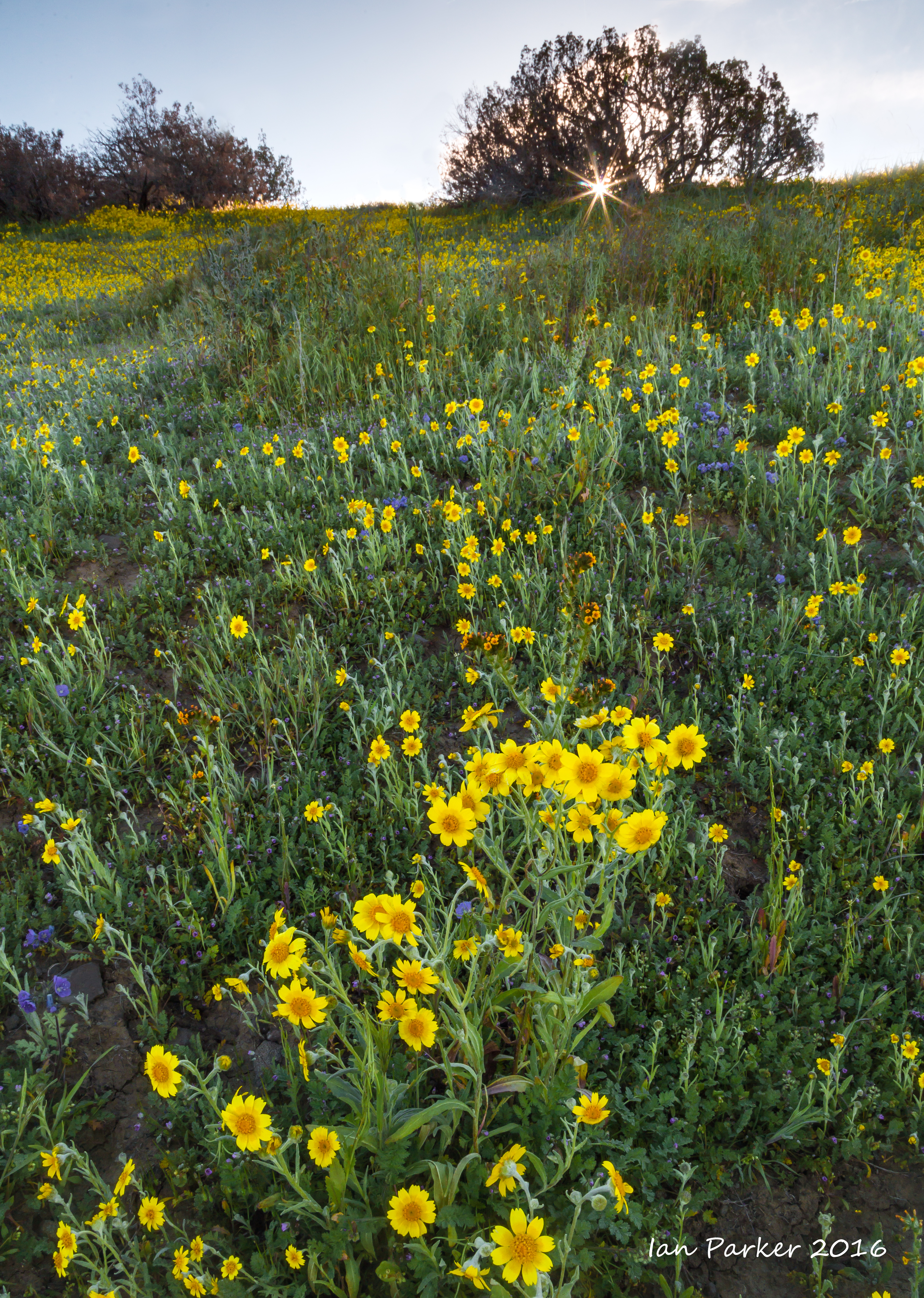
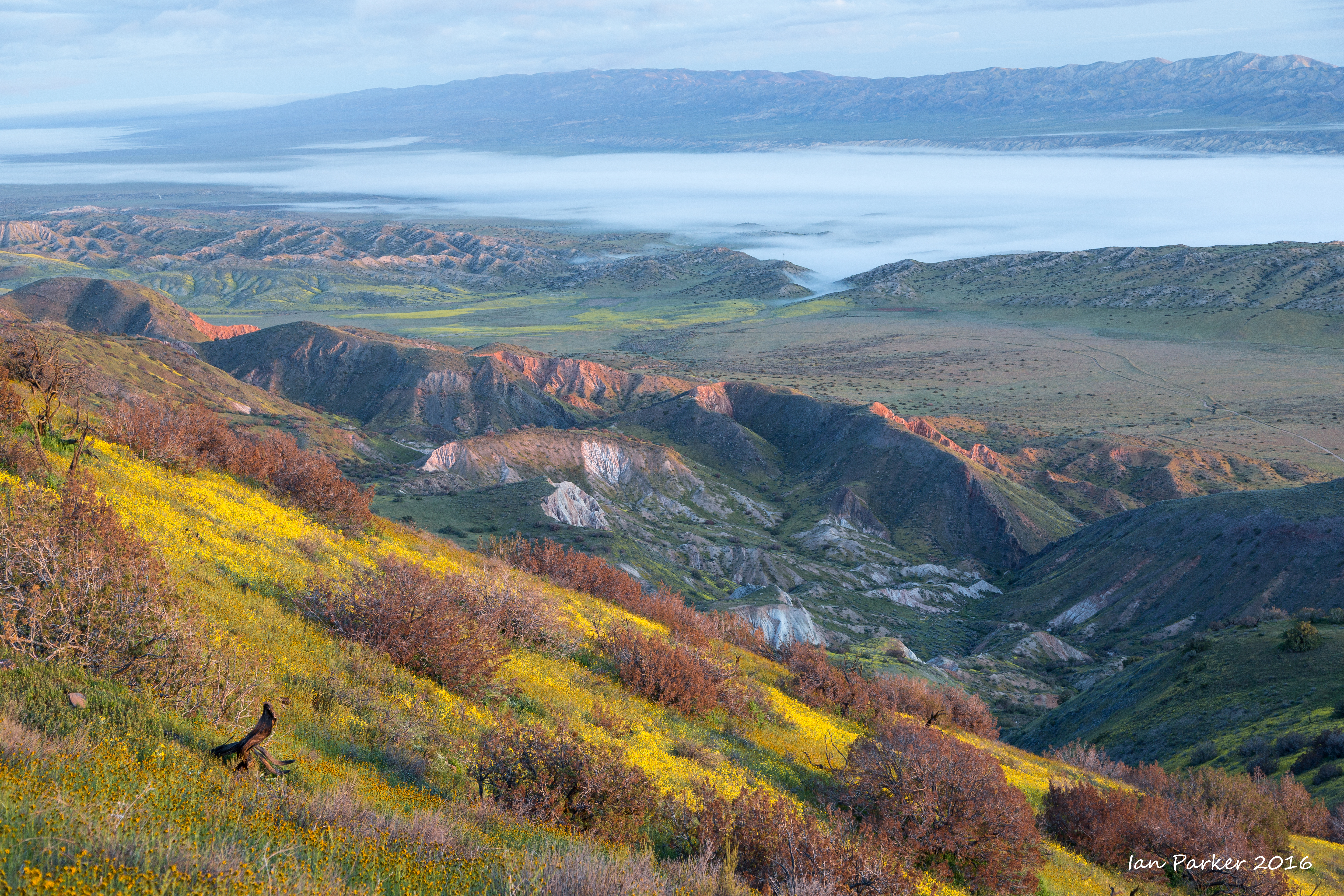
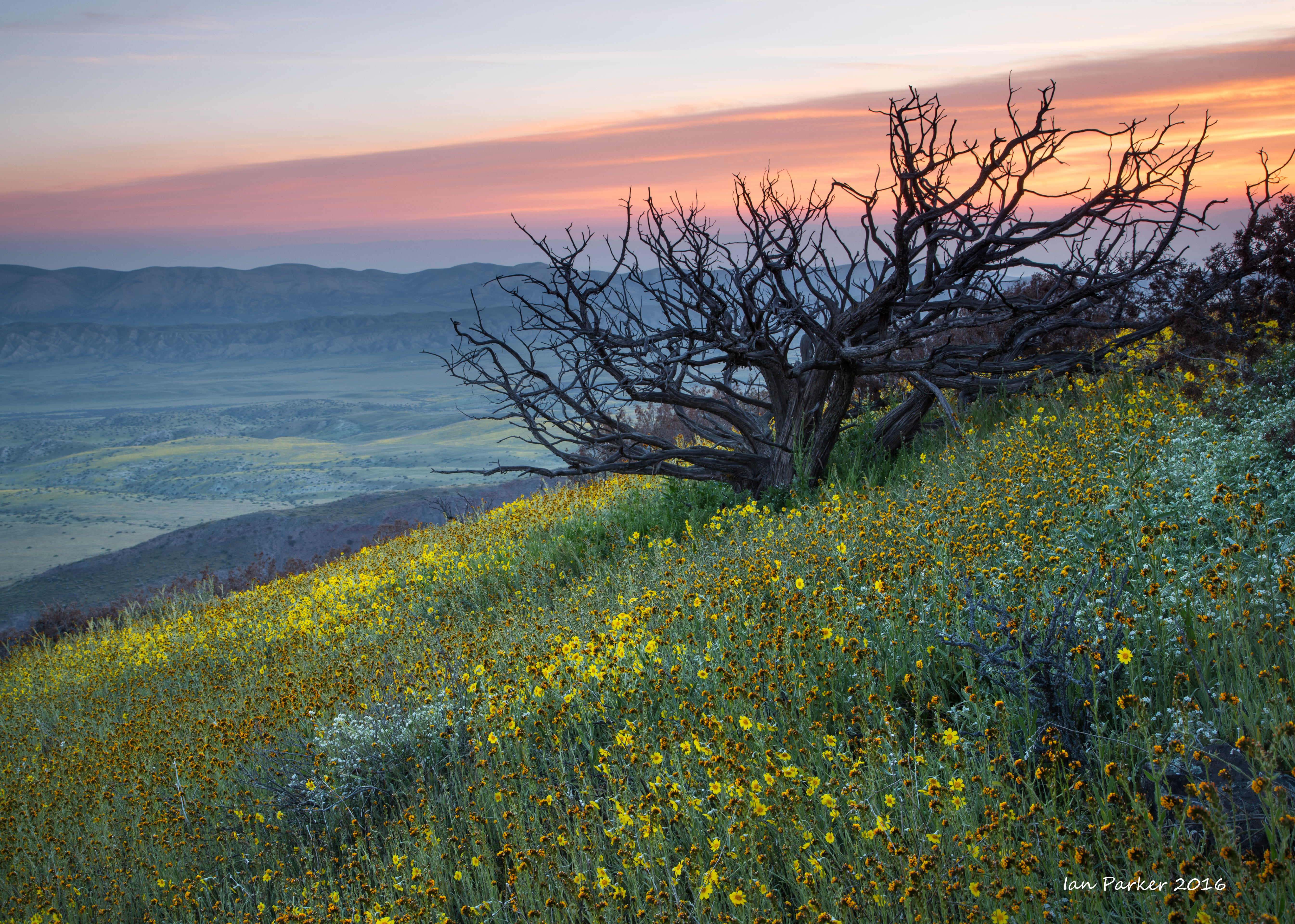
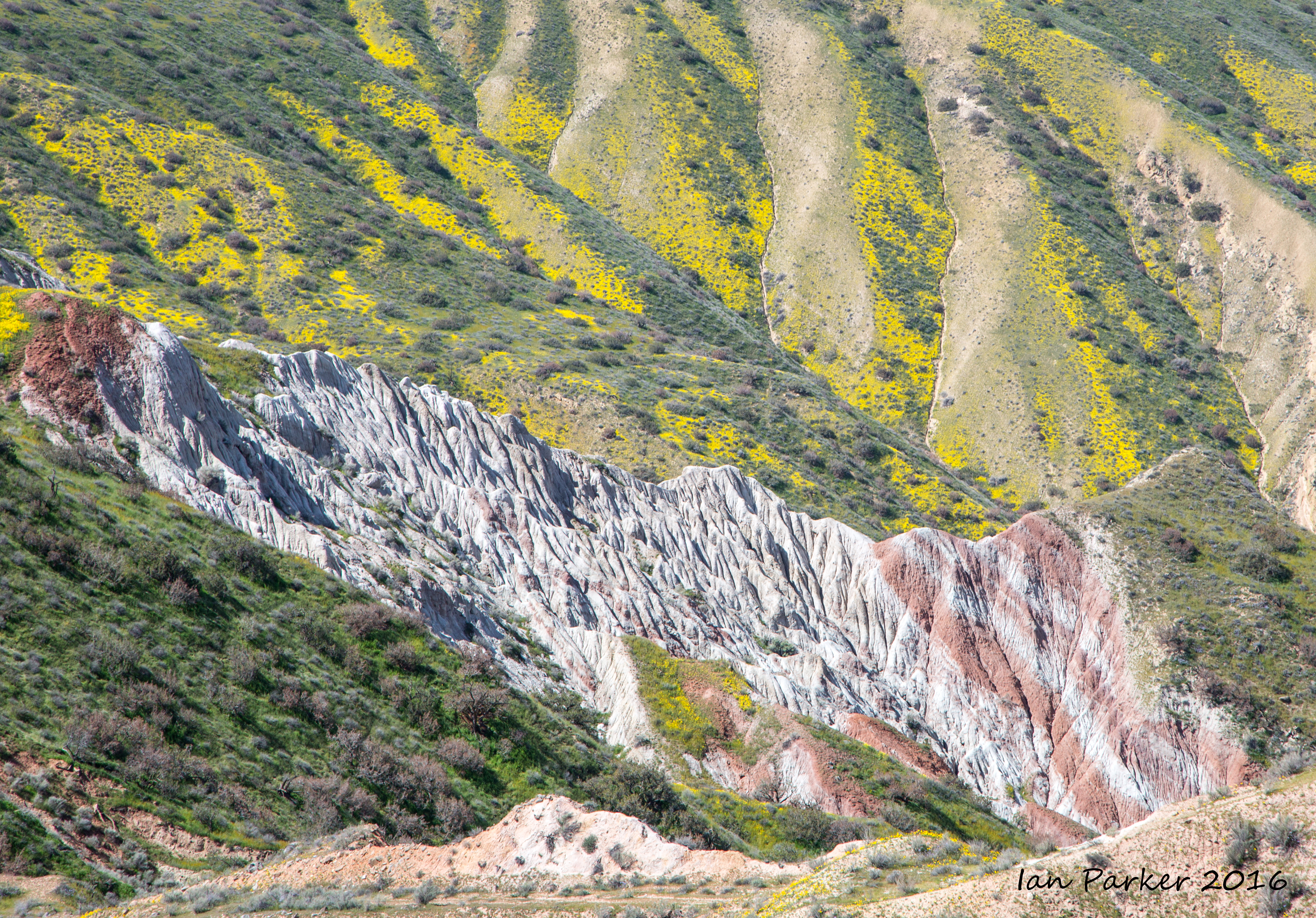
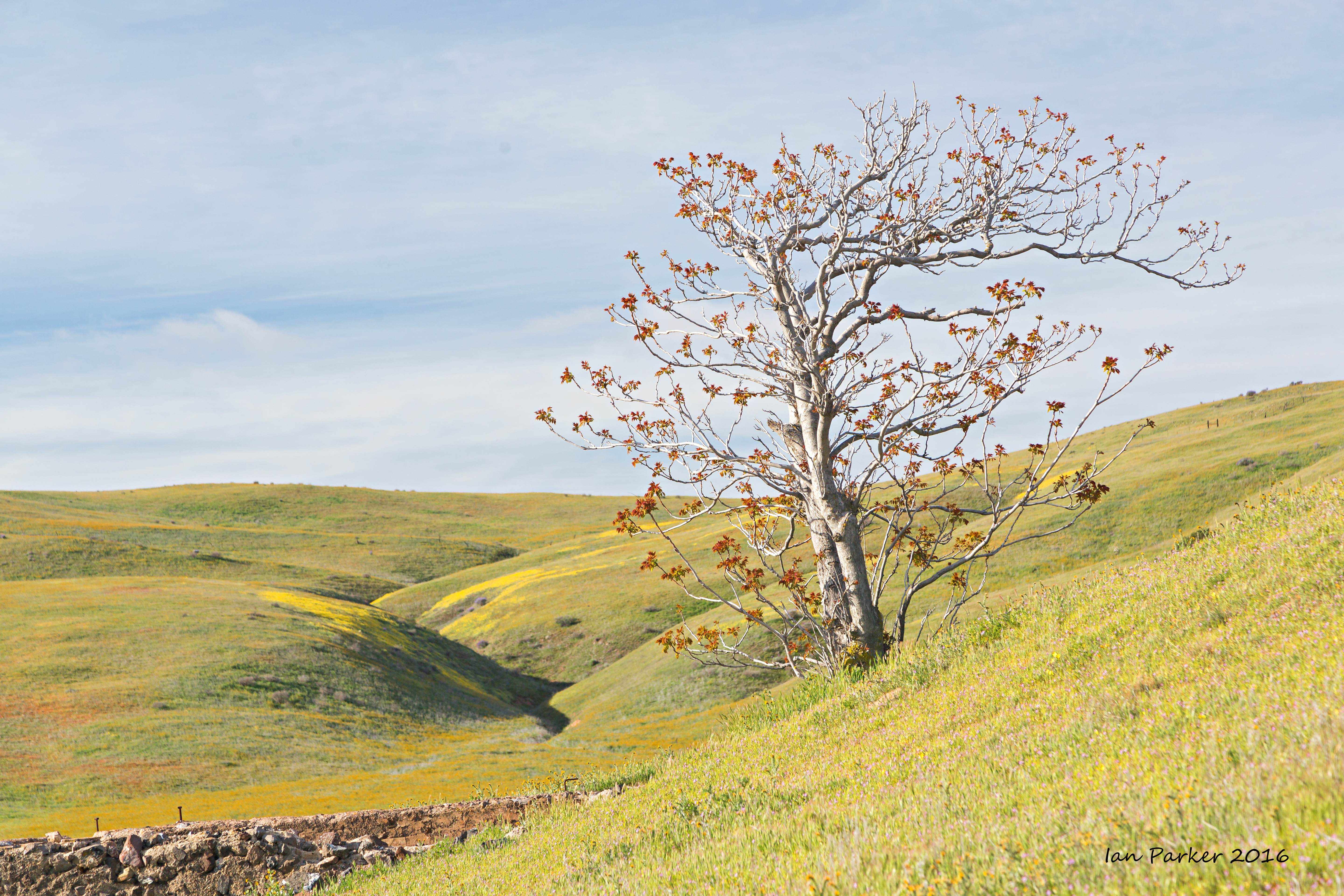
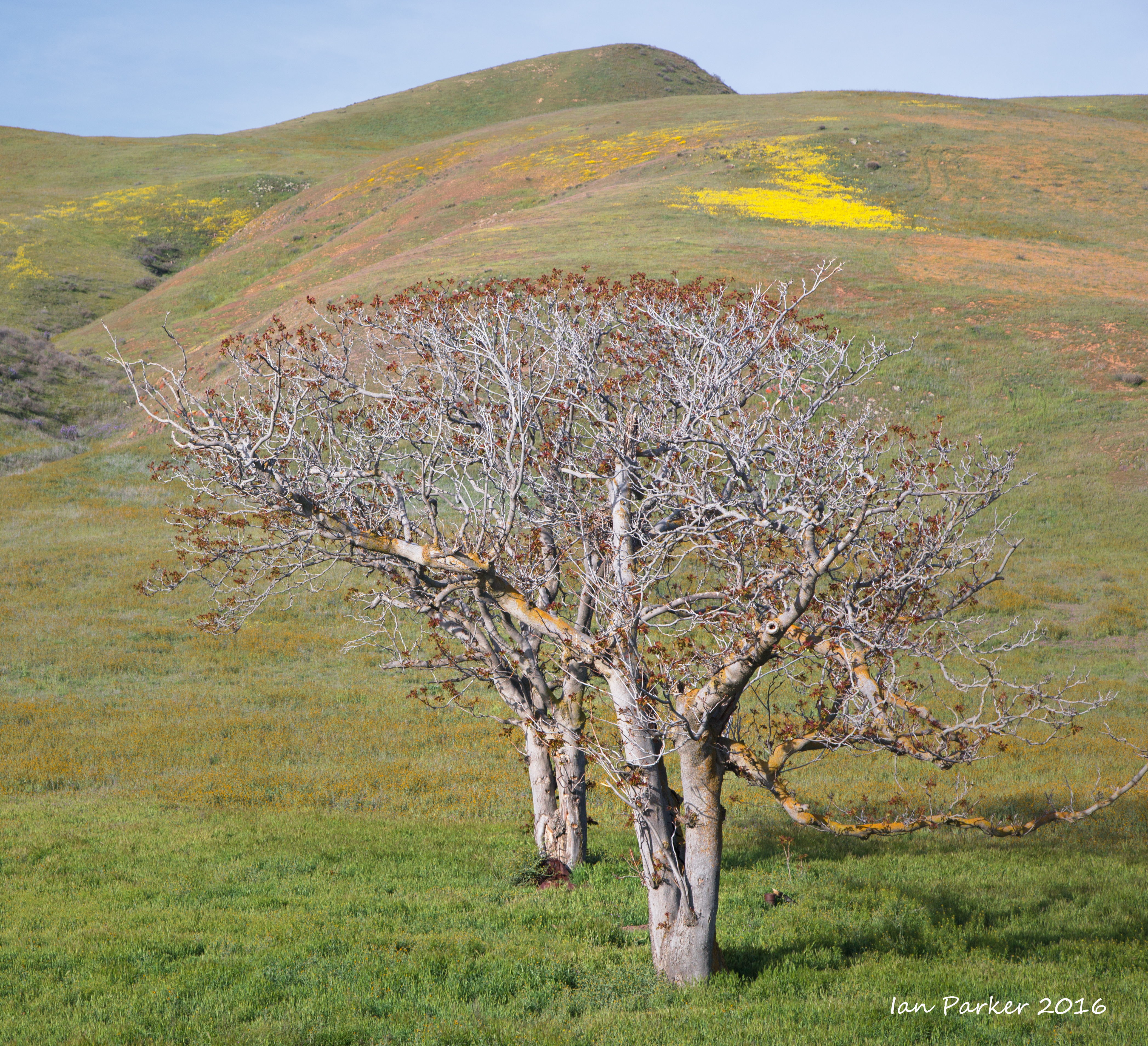
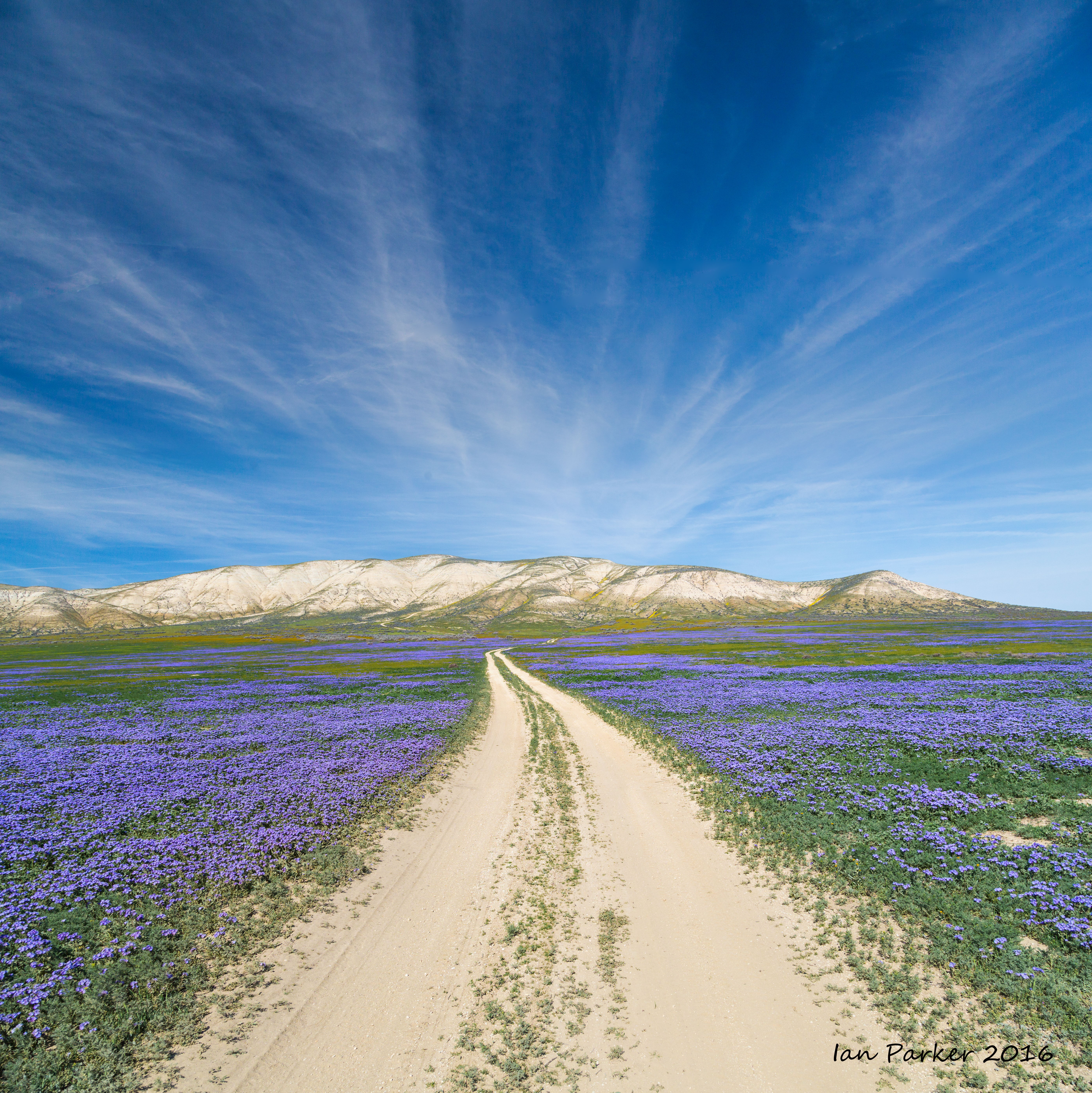
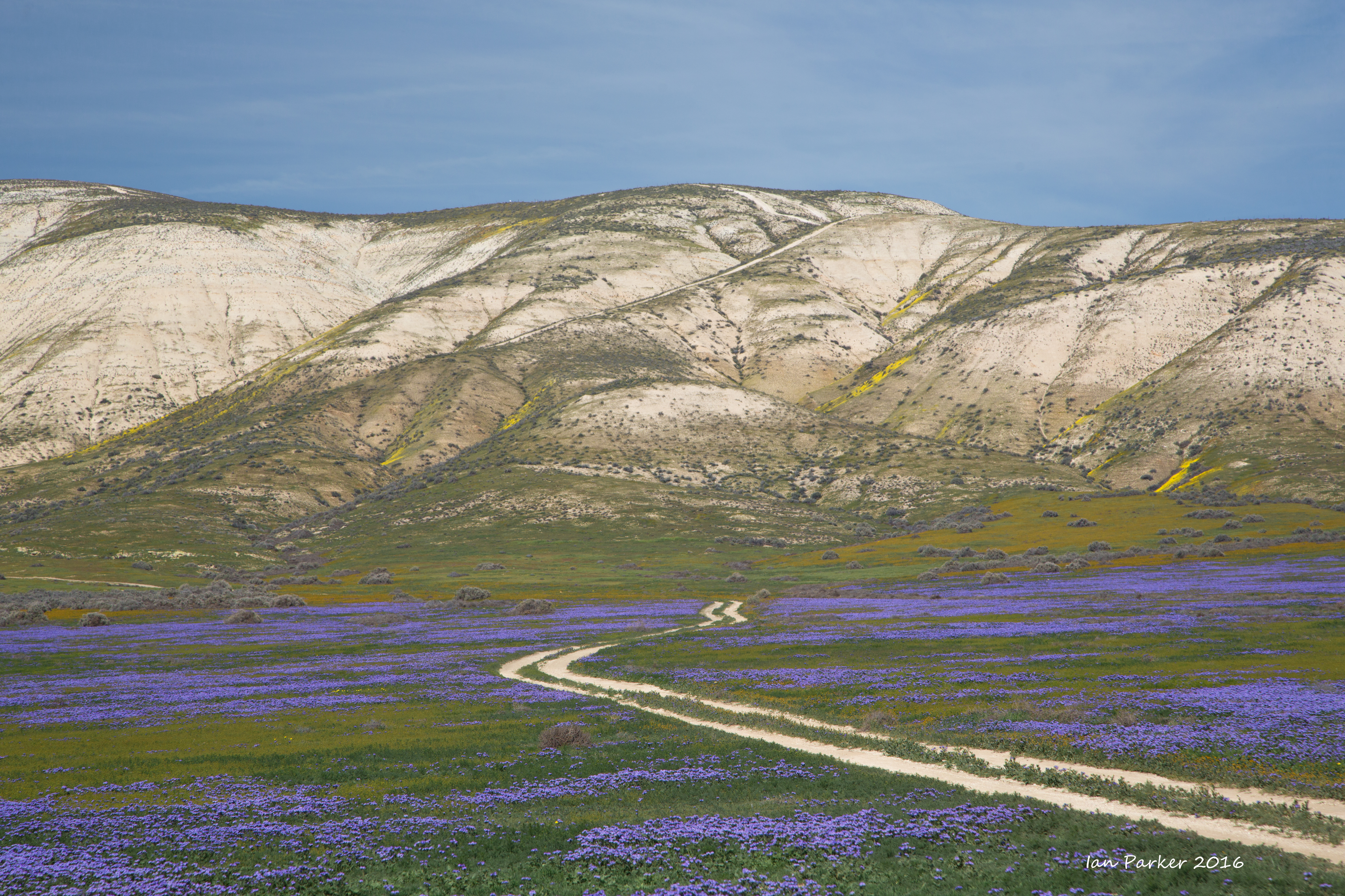
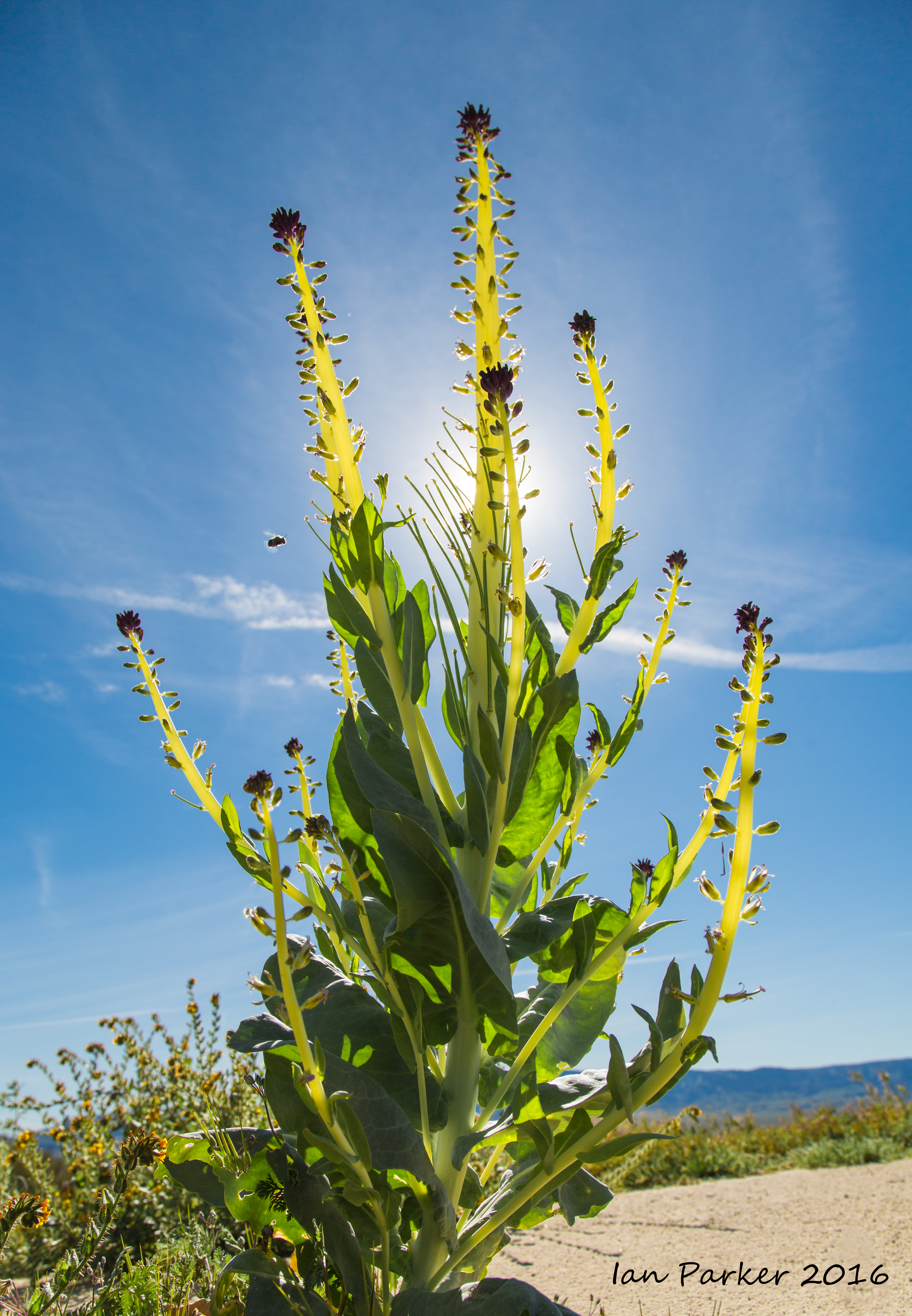
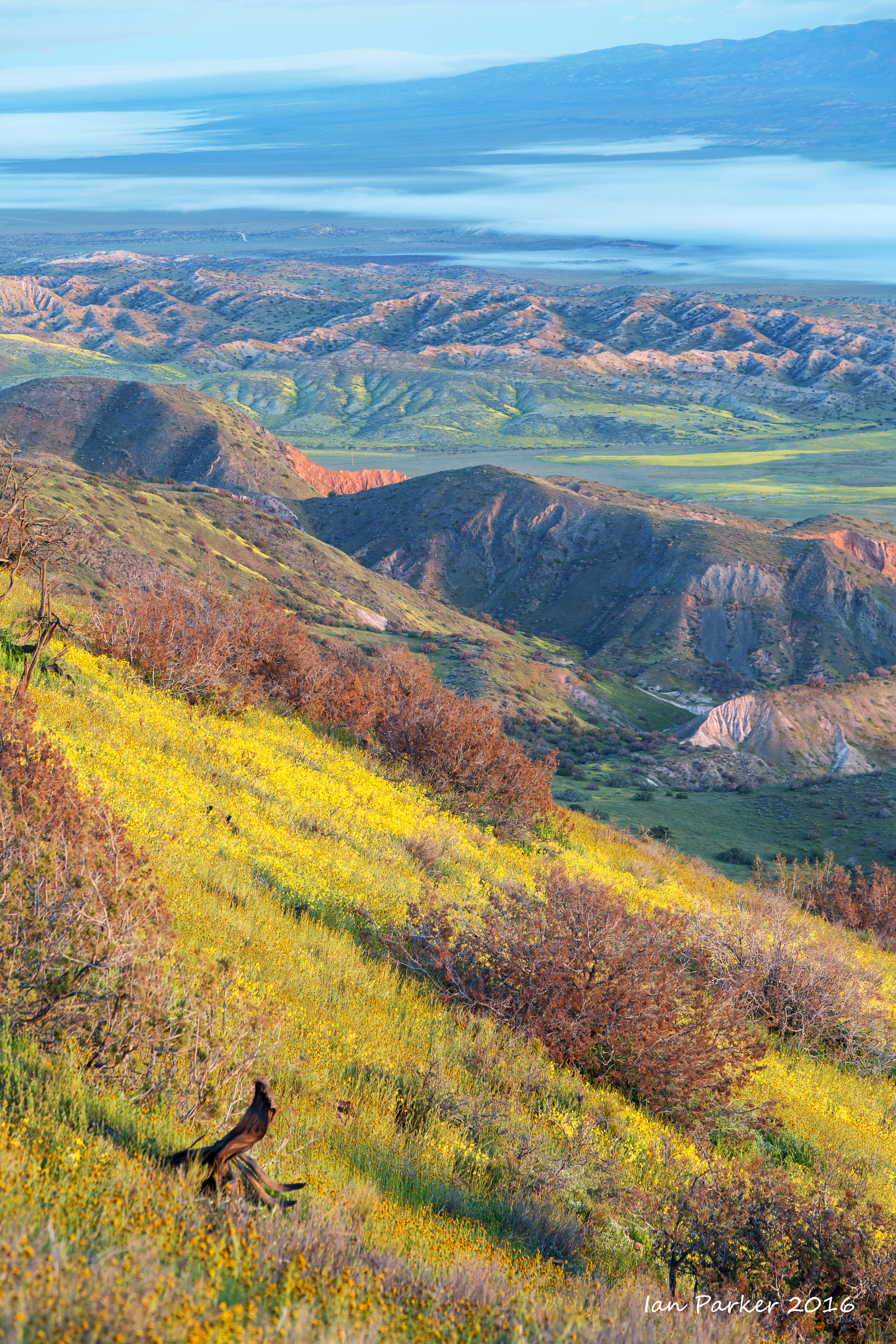
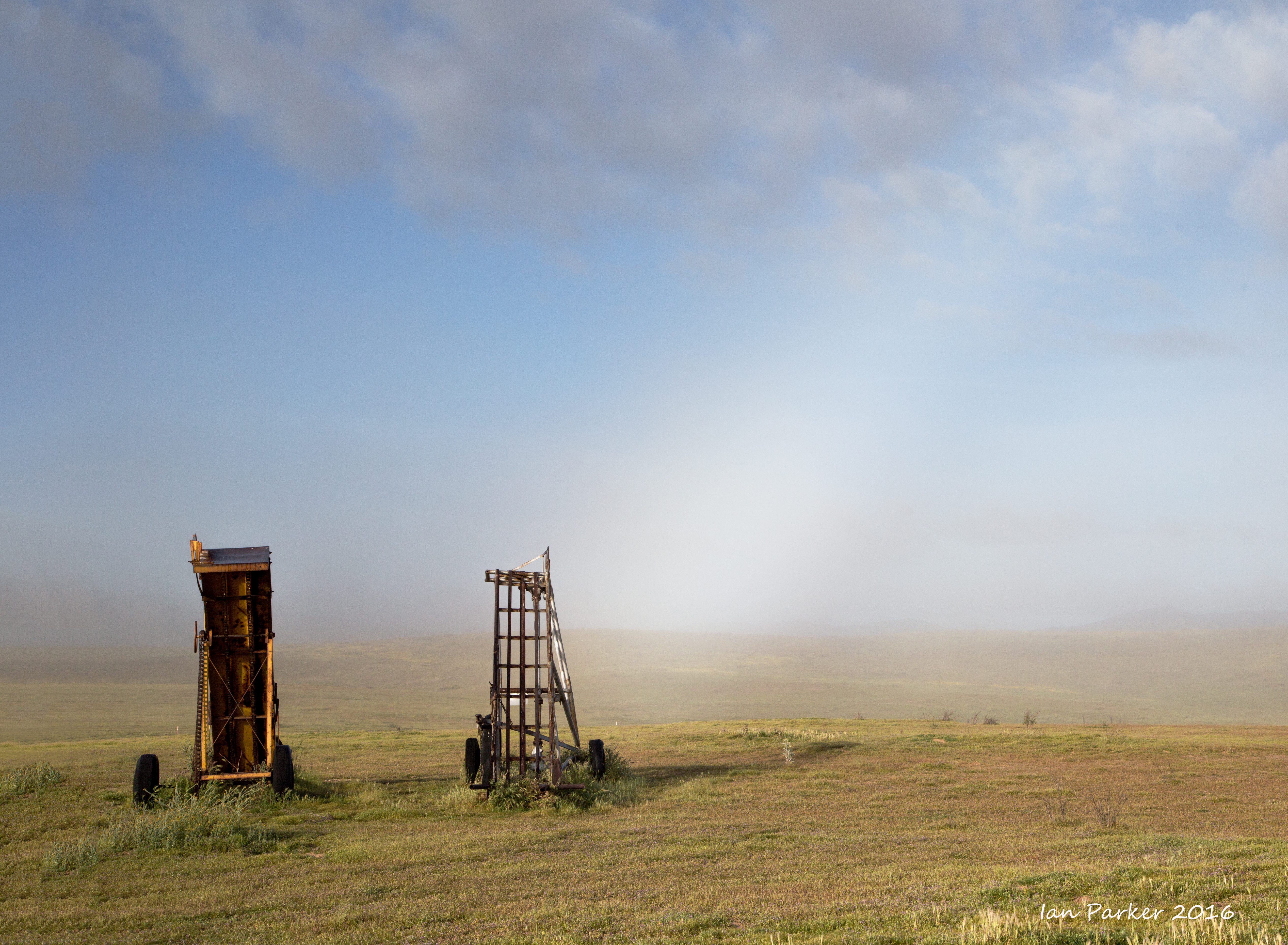
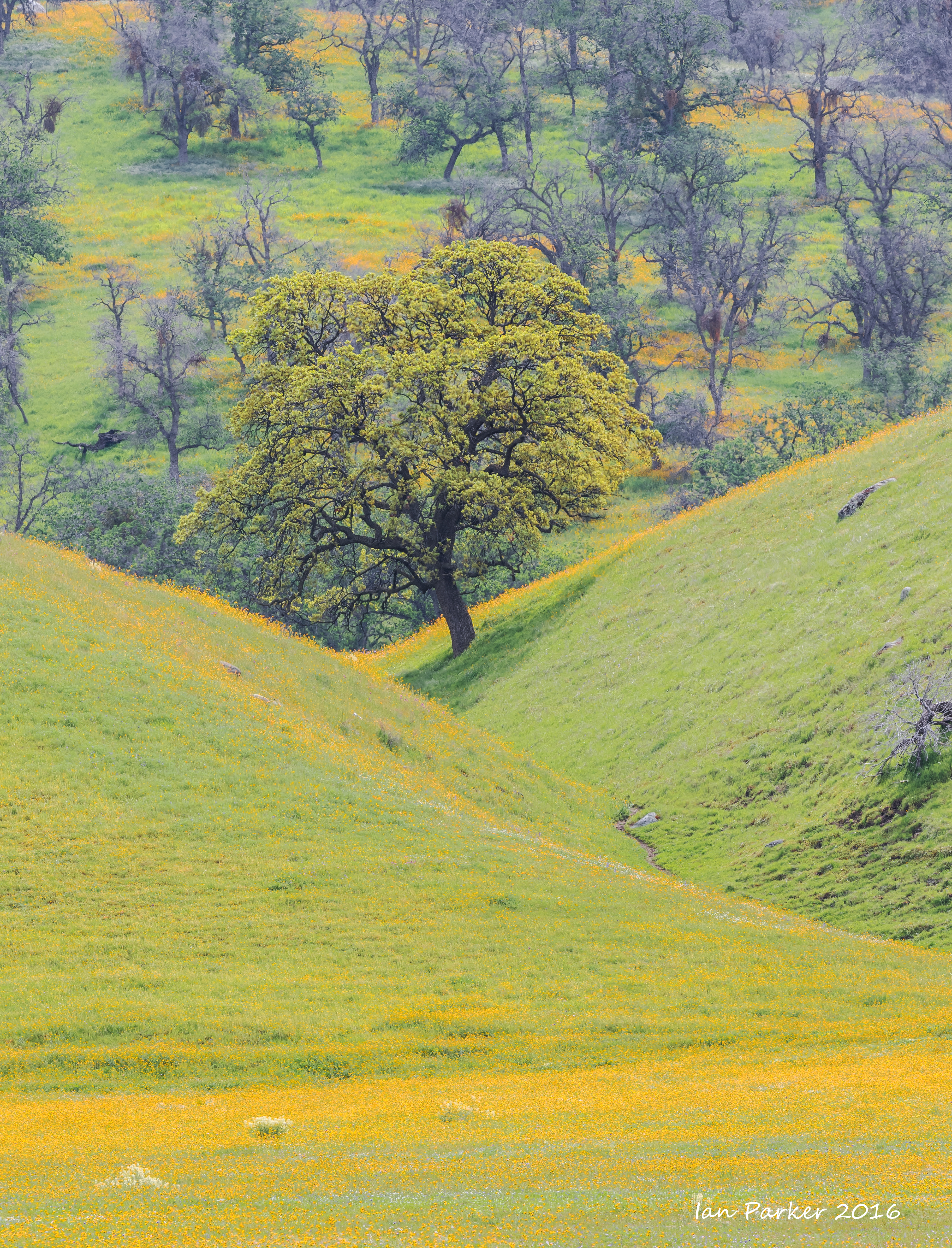
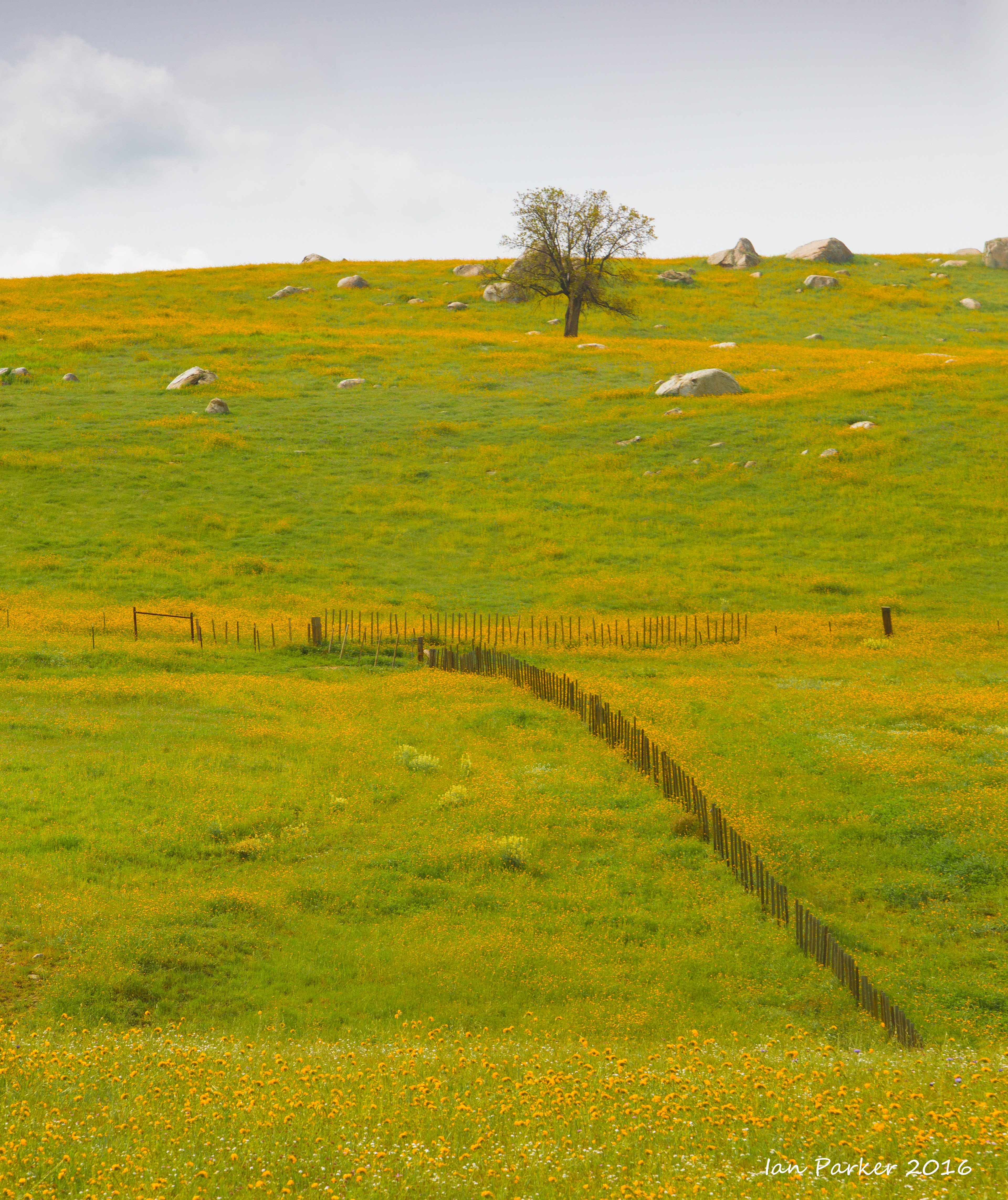
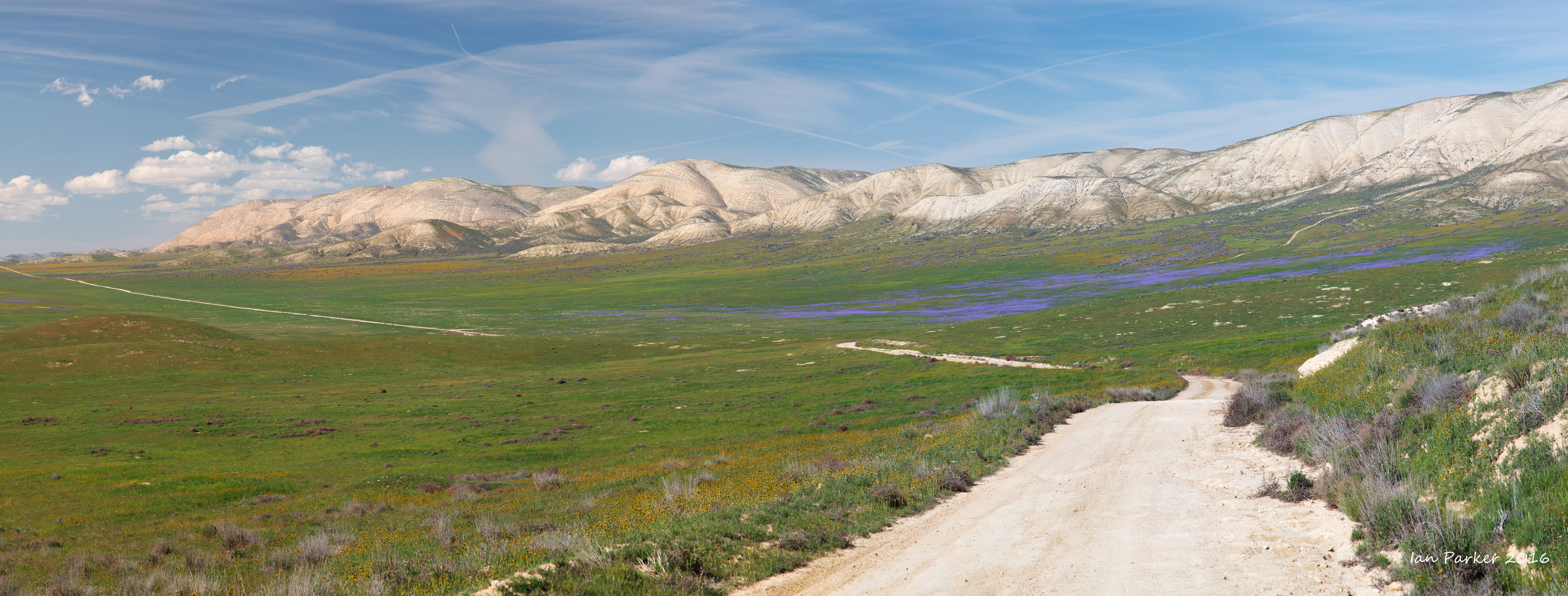
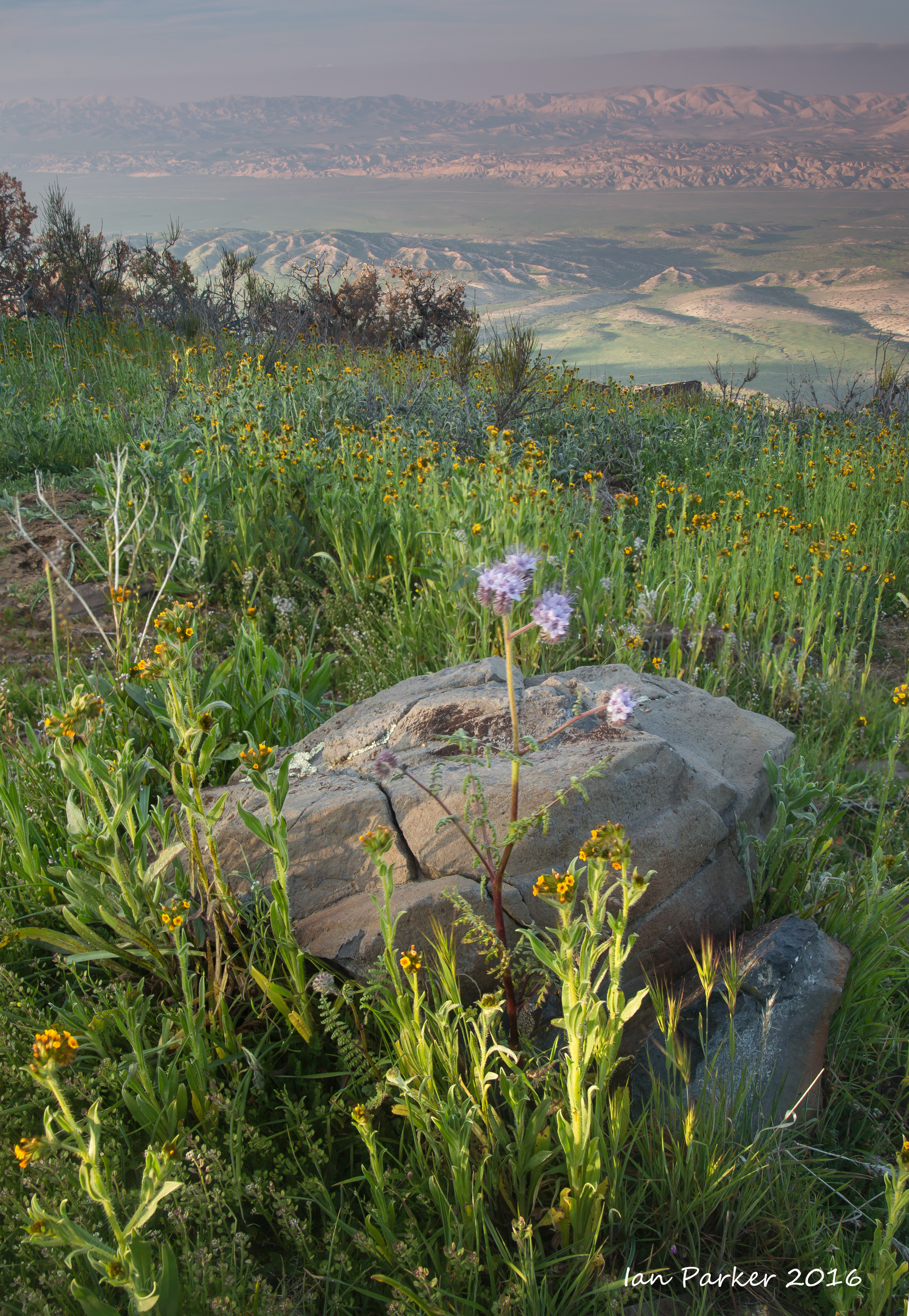
Back to the Carrizo Plain, hoping for a good wildflower season. We found the Temblor range to be dry, and lacking the yellow carpeting we had seen the previous year, but there were good swaths of gold and purple at the southern ends of the Carrizo and Elkhorn plains, and exuberant displays high in the Caliente Range.
Wildflowers along Highway 58
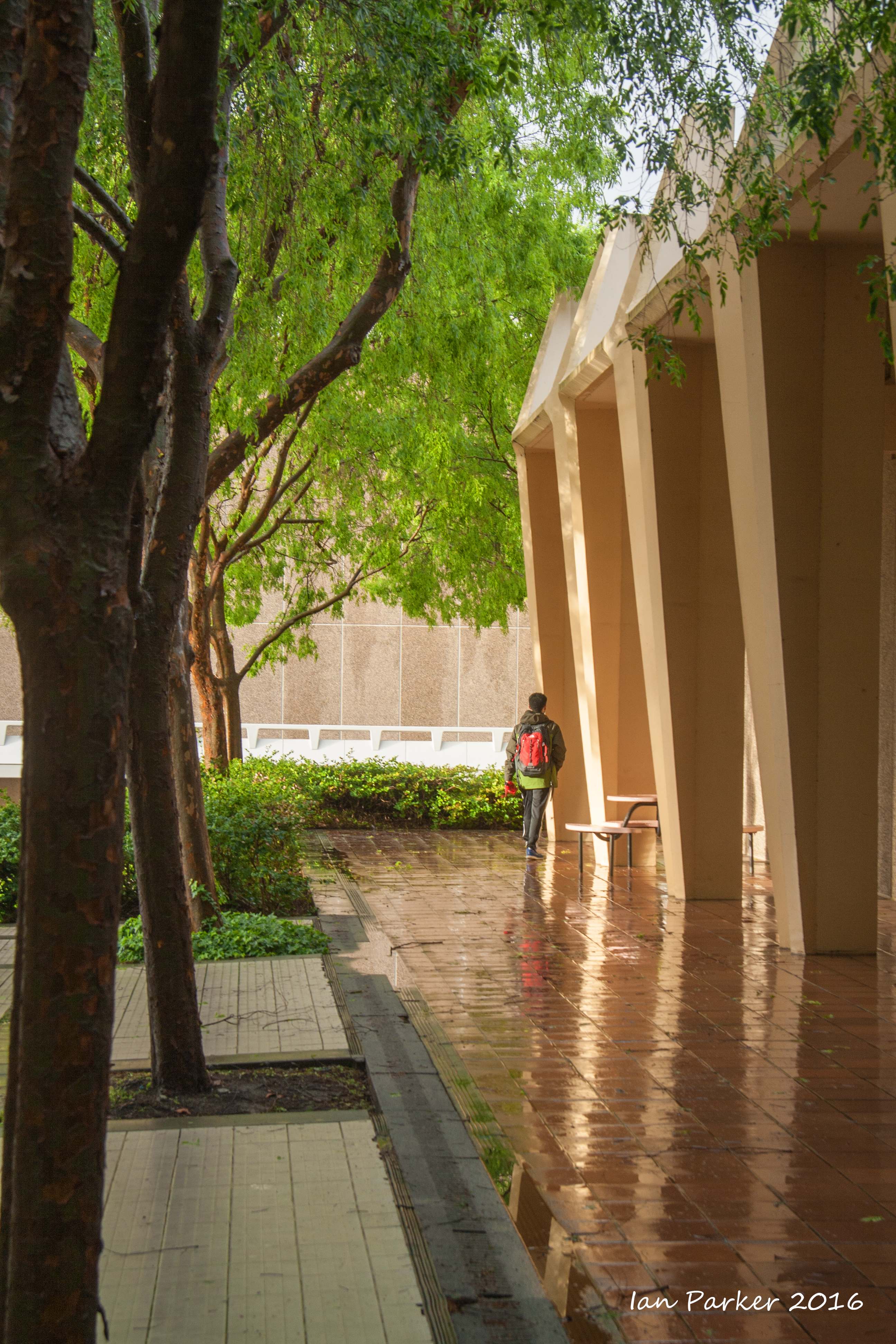
March 11
UCI Campus after a rain shower
February 27,28
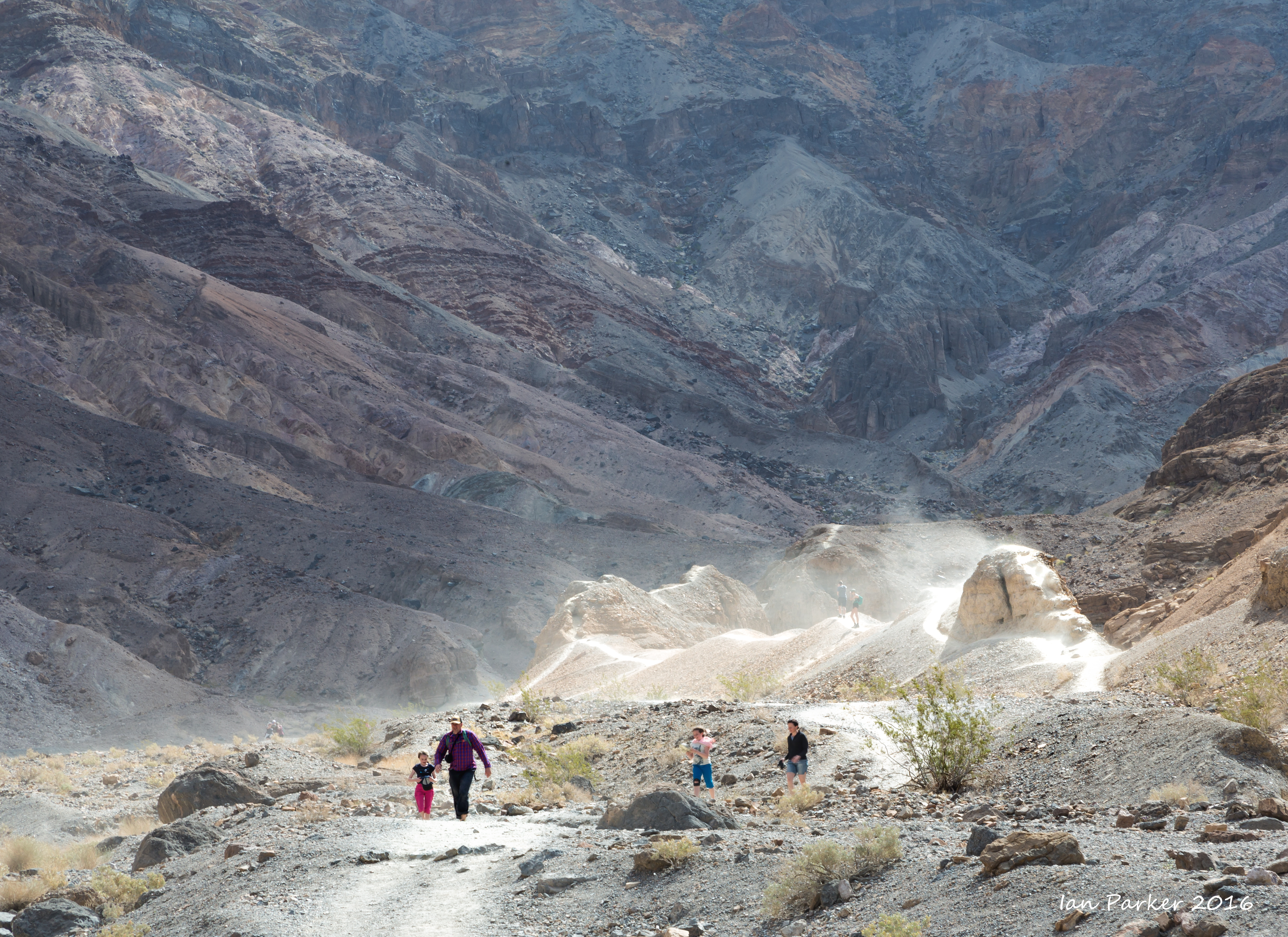
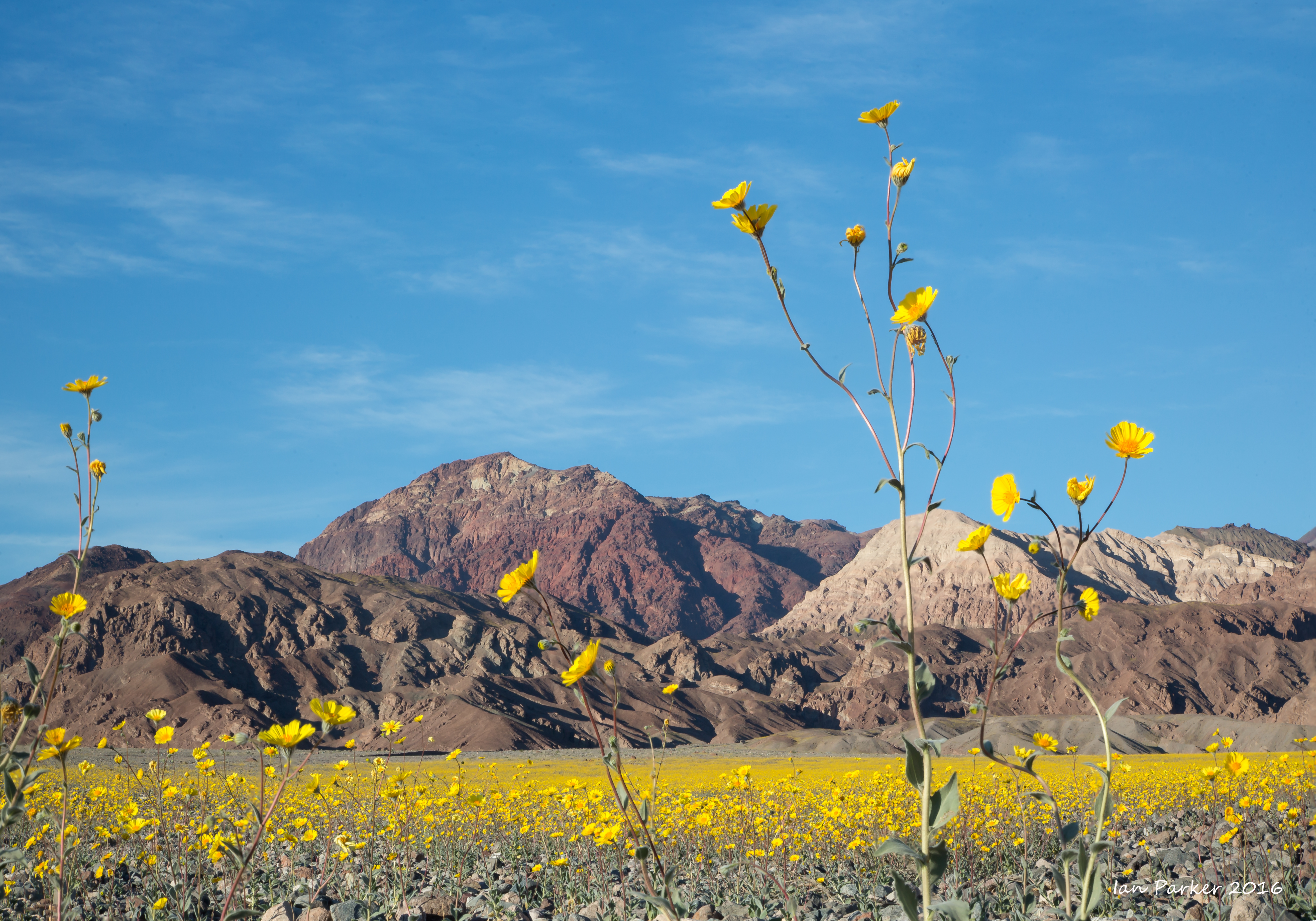
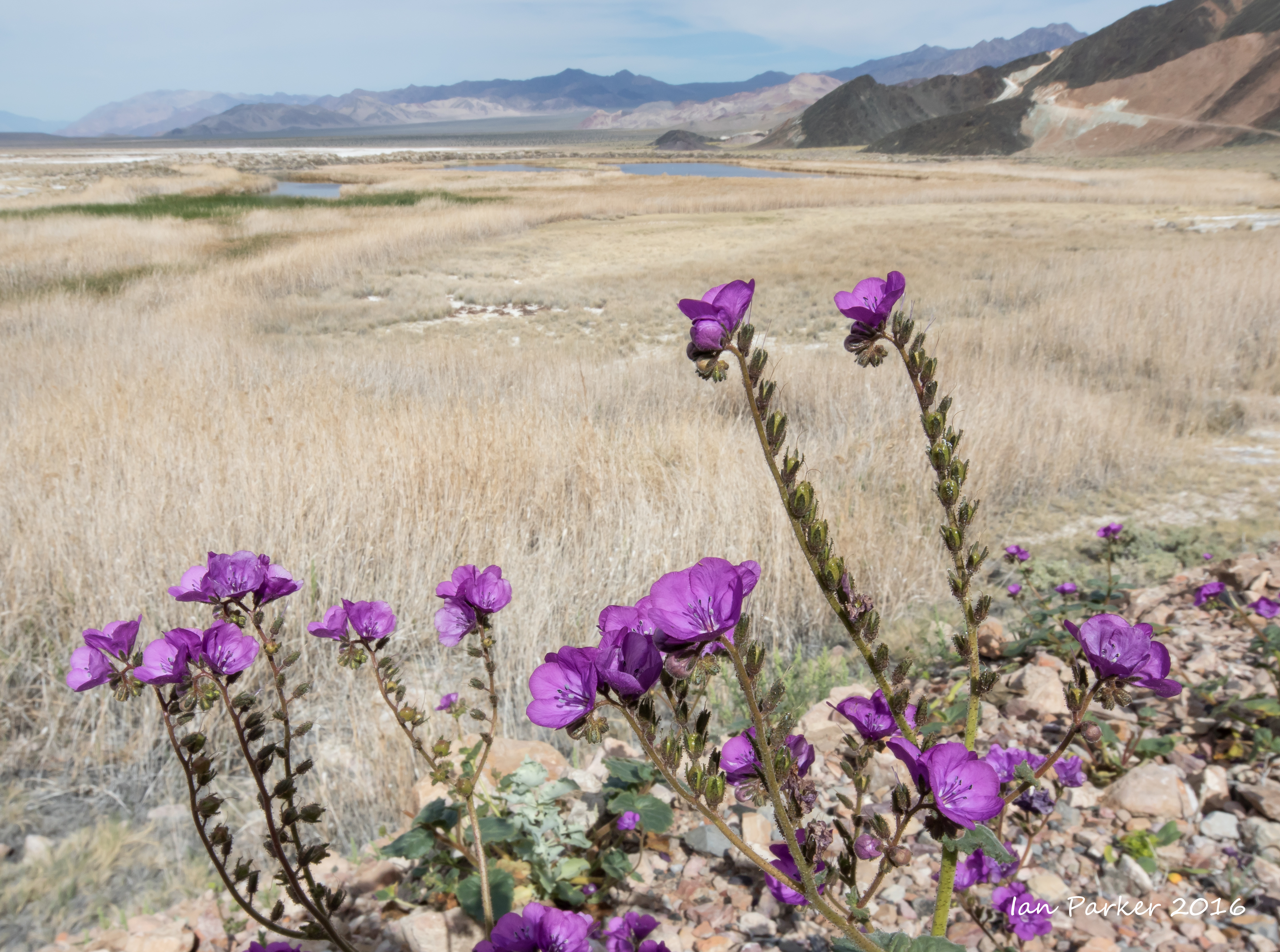
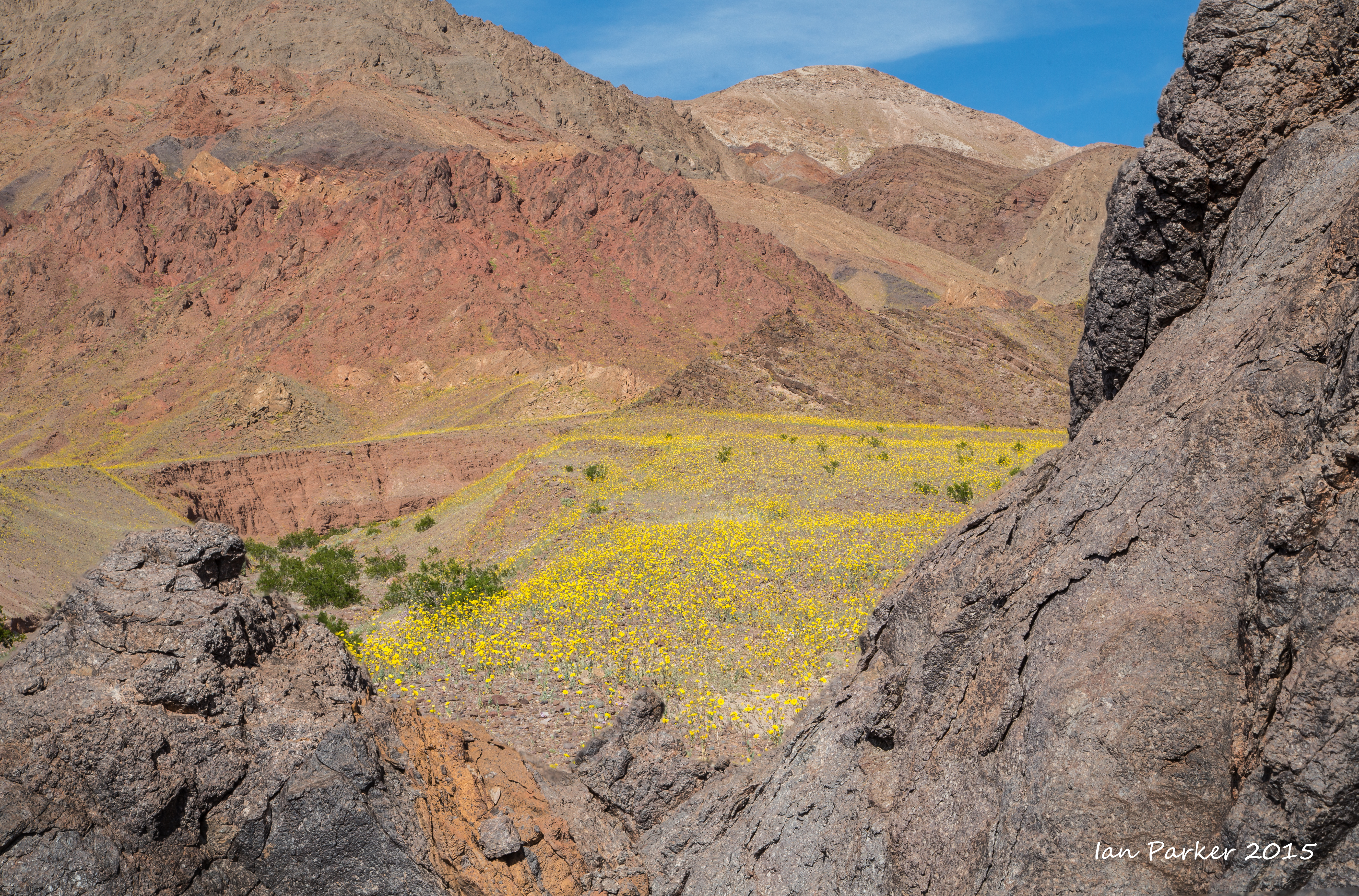
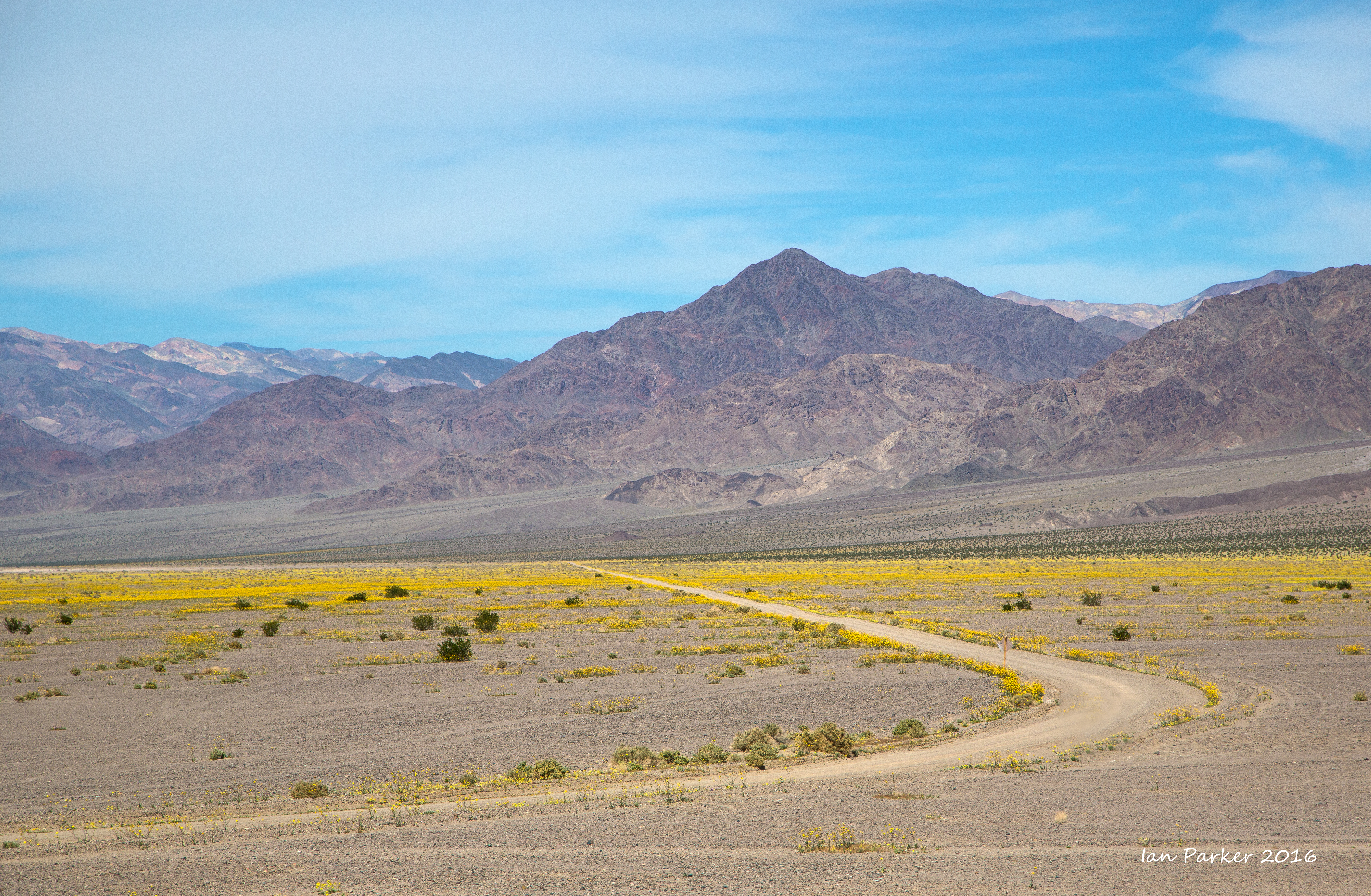
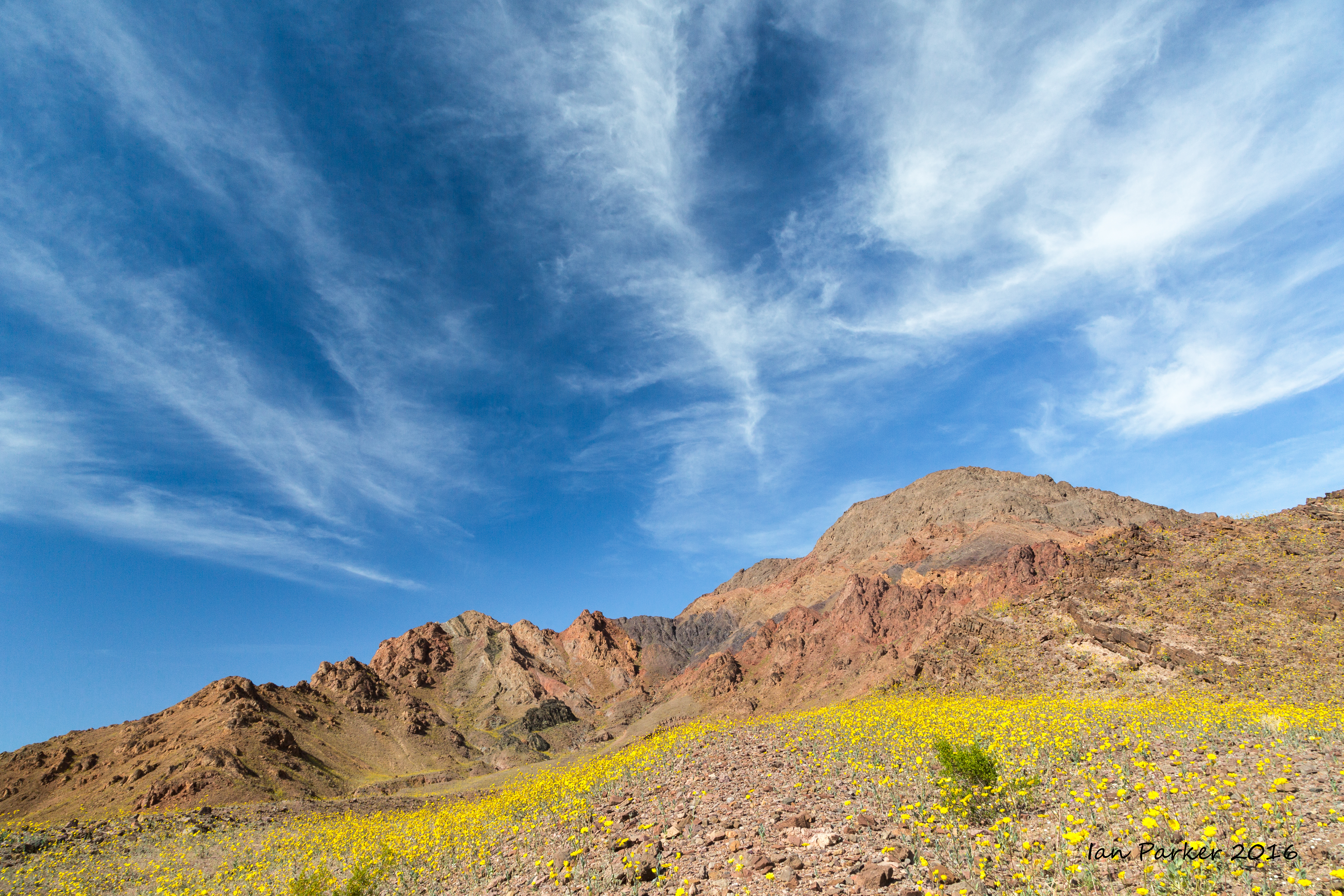
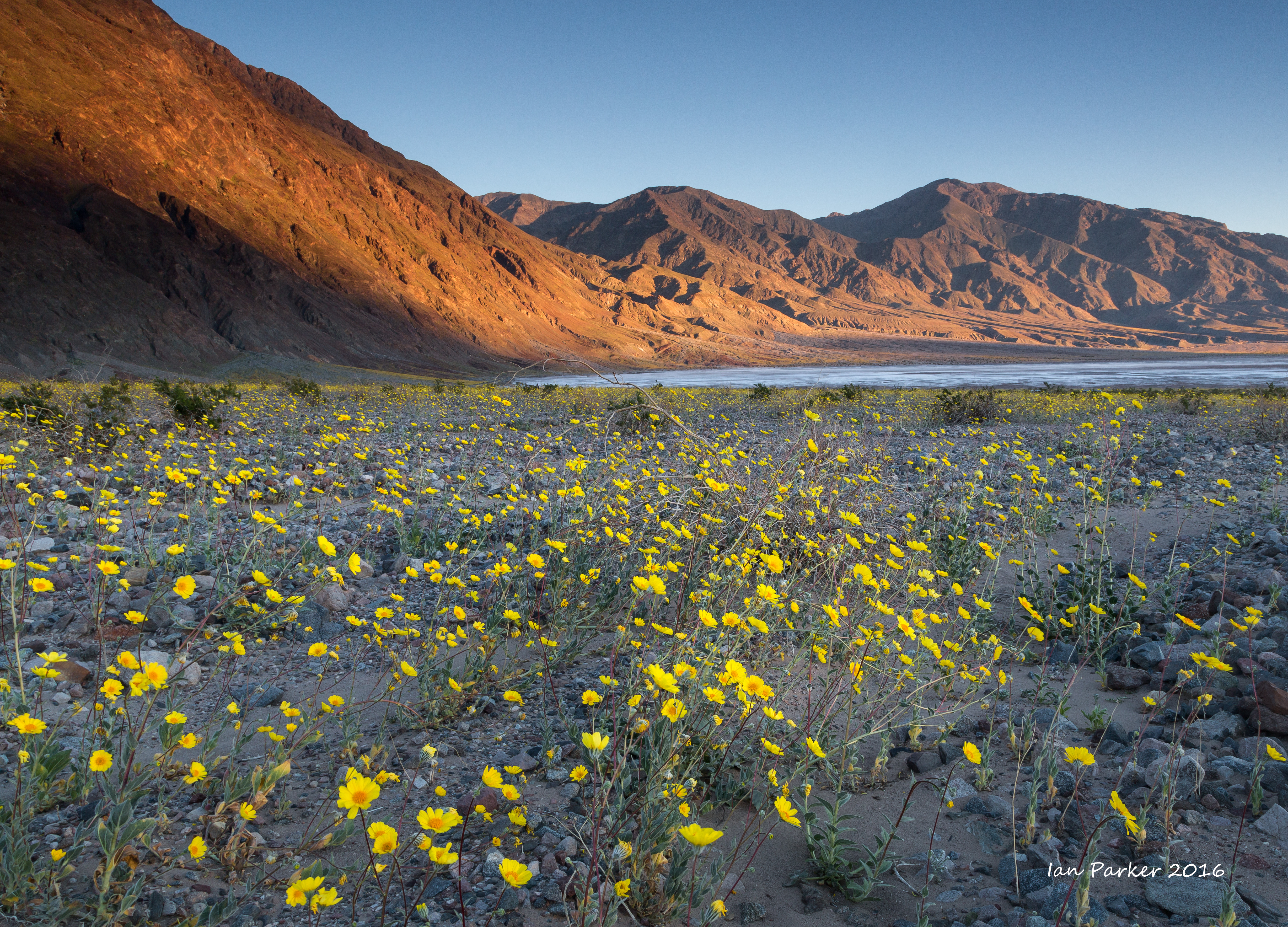
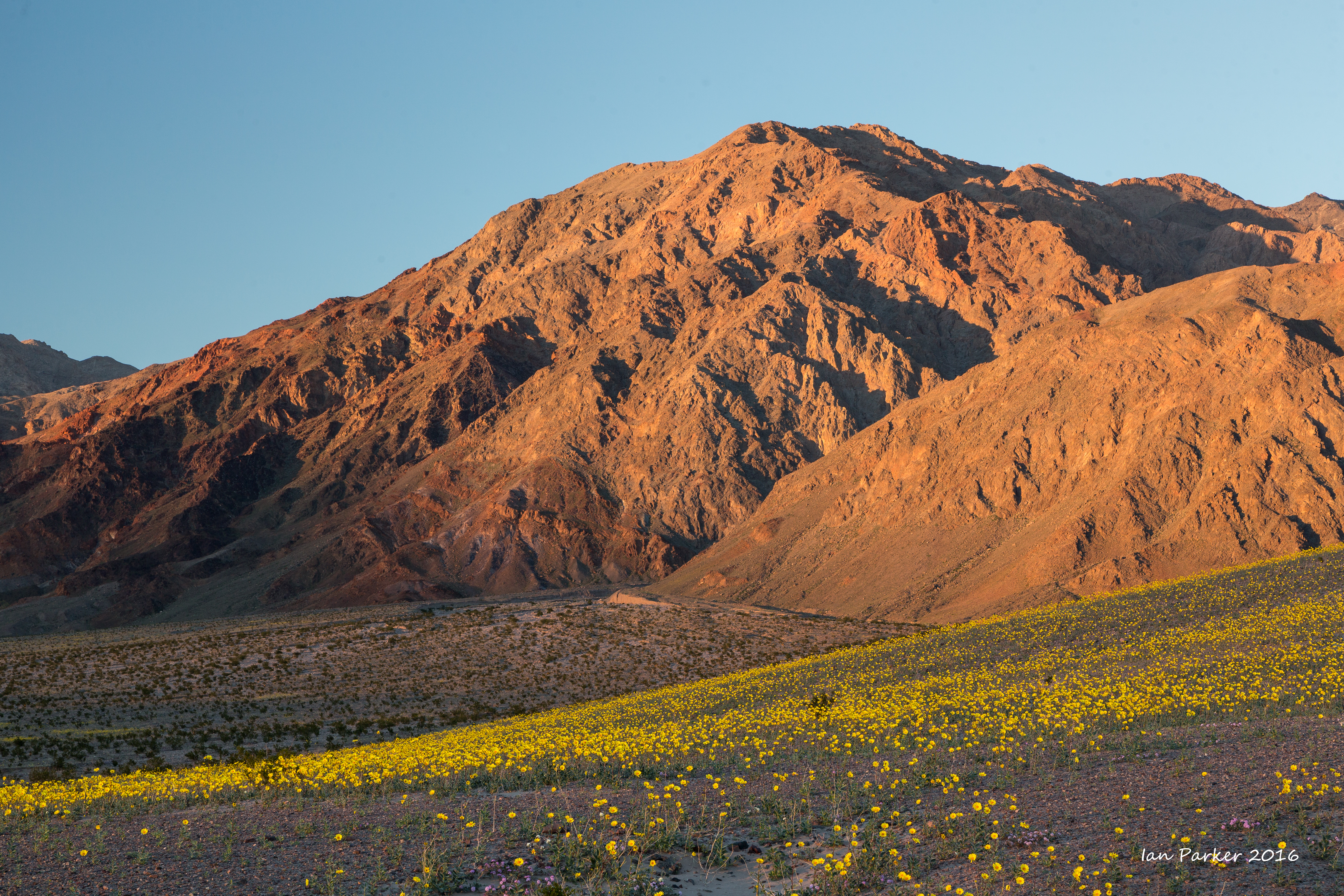
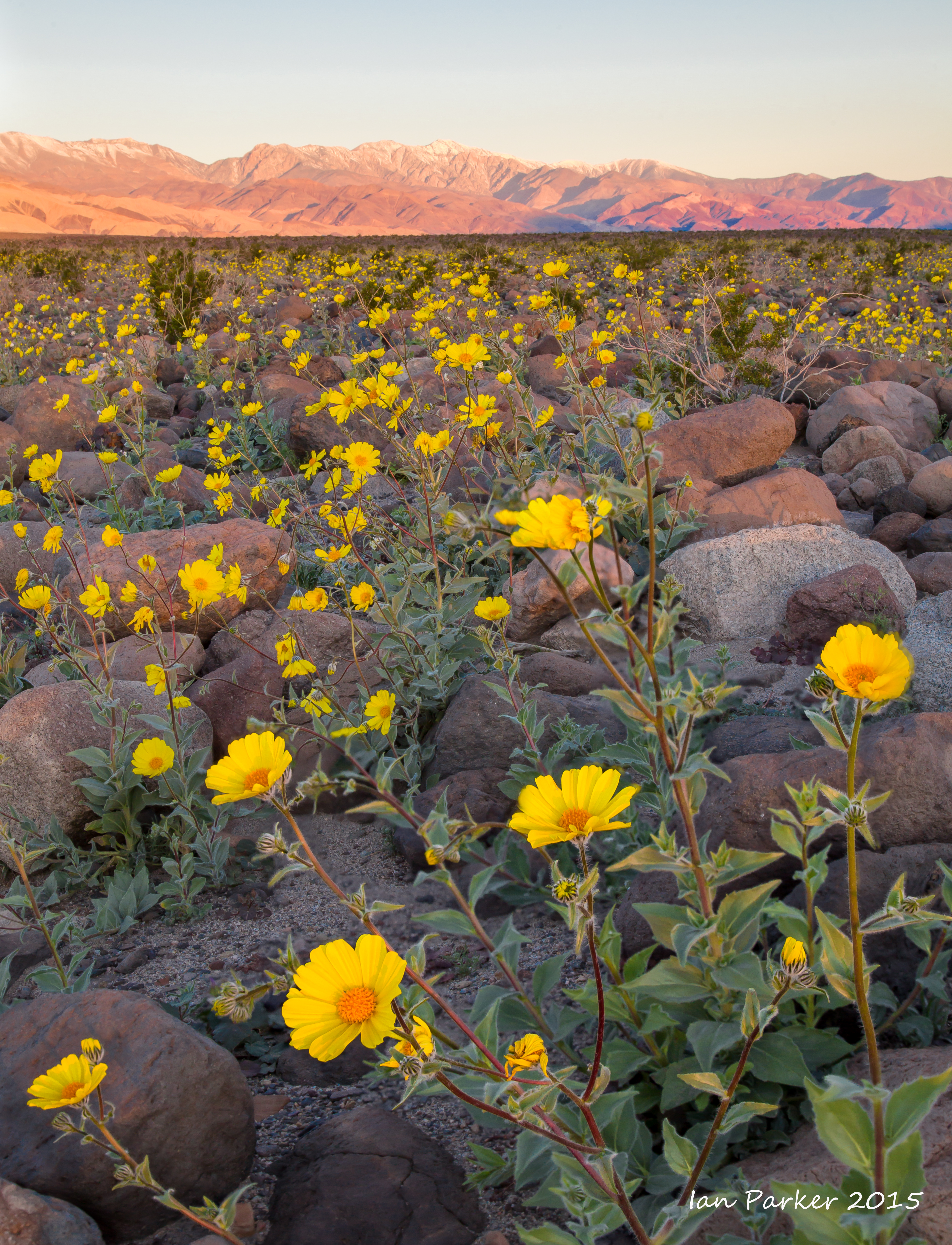
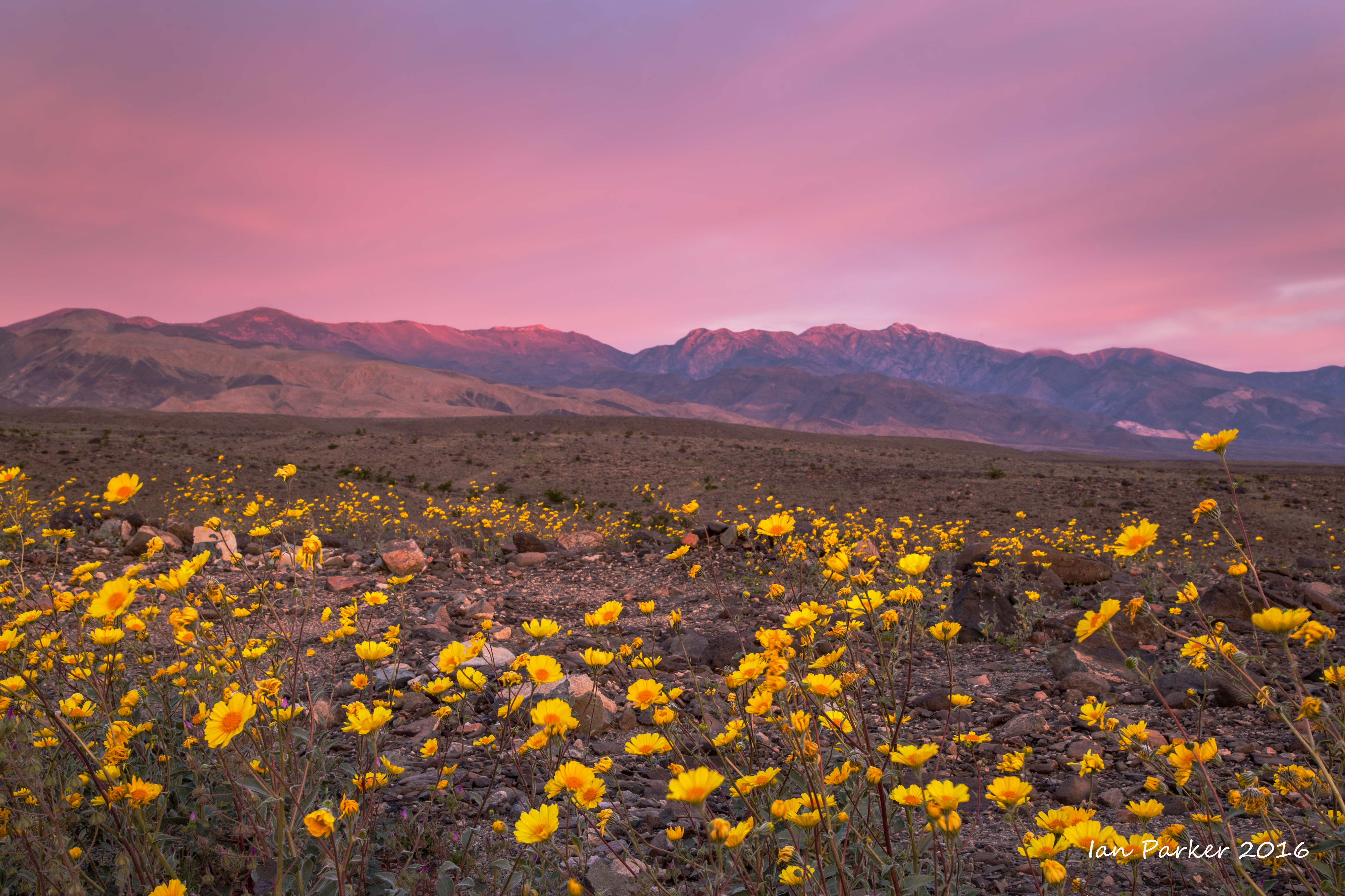
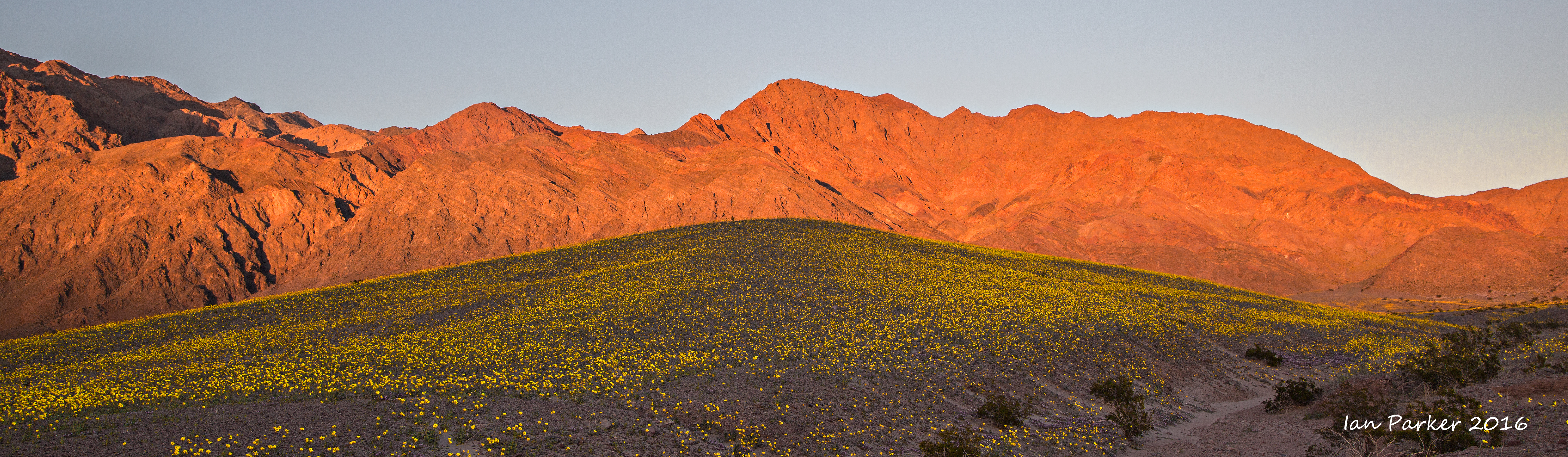
Back to Death Valley for more flowers. This time the road from Badwater was open, and news of the 'superbloom' had spread worldwide; including home pages of the LA Times and the BBC. More people than we had ever seen before in Death Valley, but I could still find solitude walking away from the road before dawn.
Macro shots of some of the flower diversity
February 21,22
Yosemite,stalking the 'firefall' yet again
February 20,21
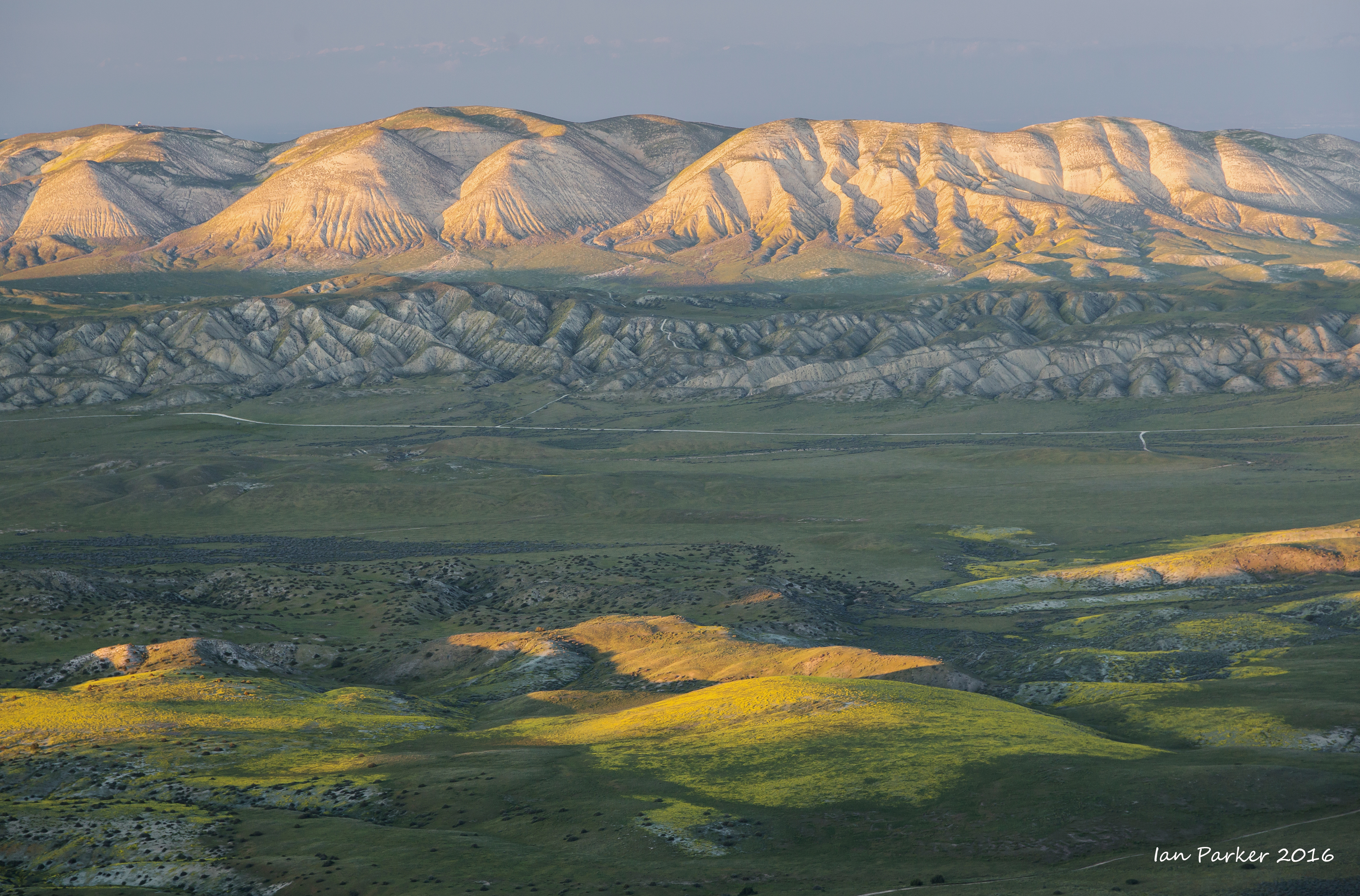
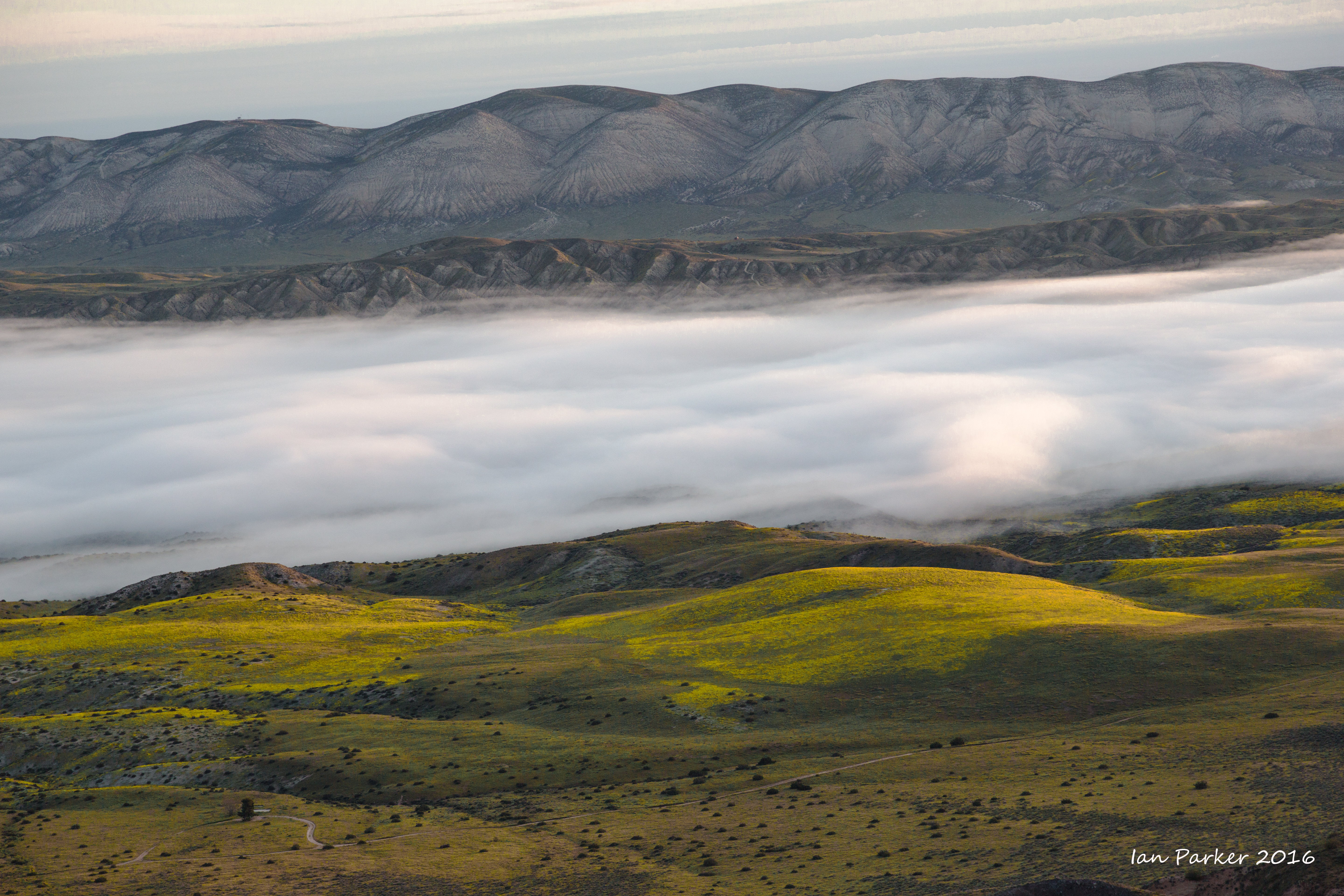
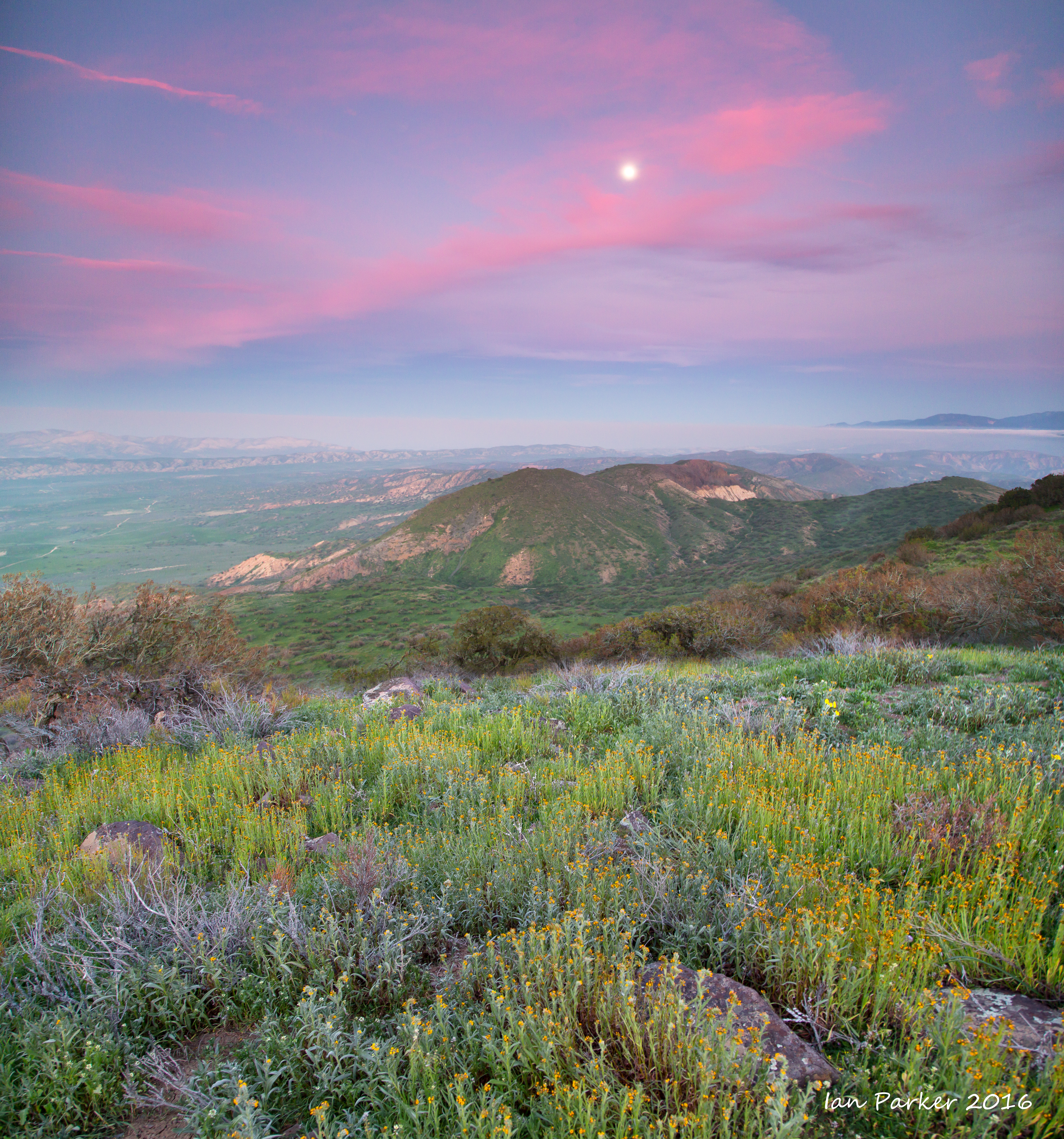
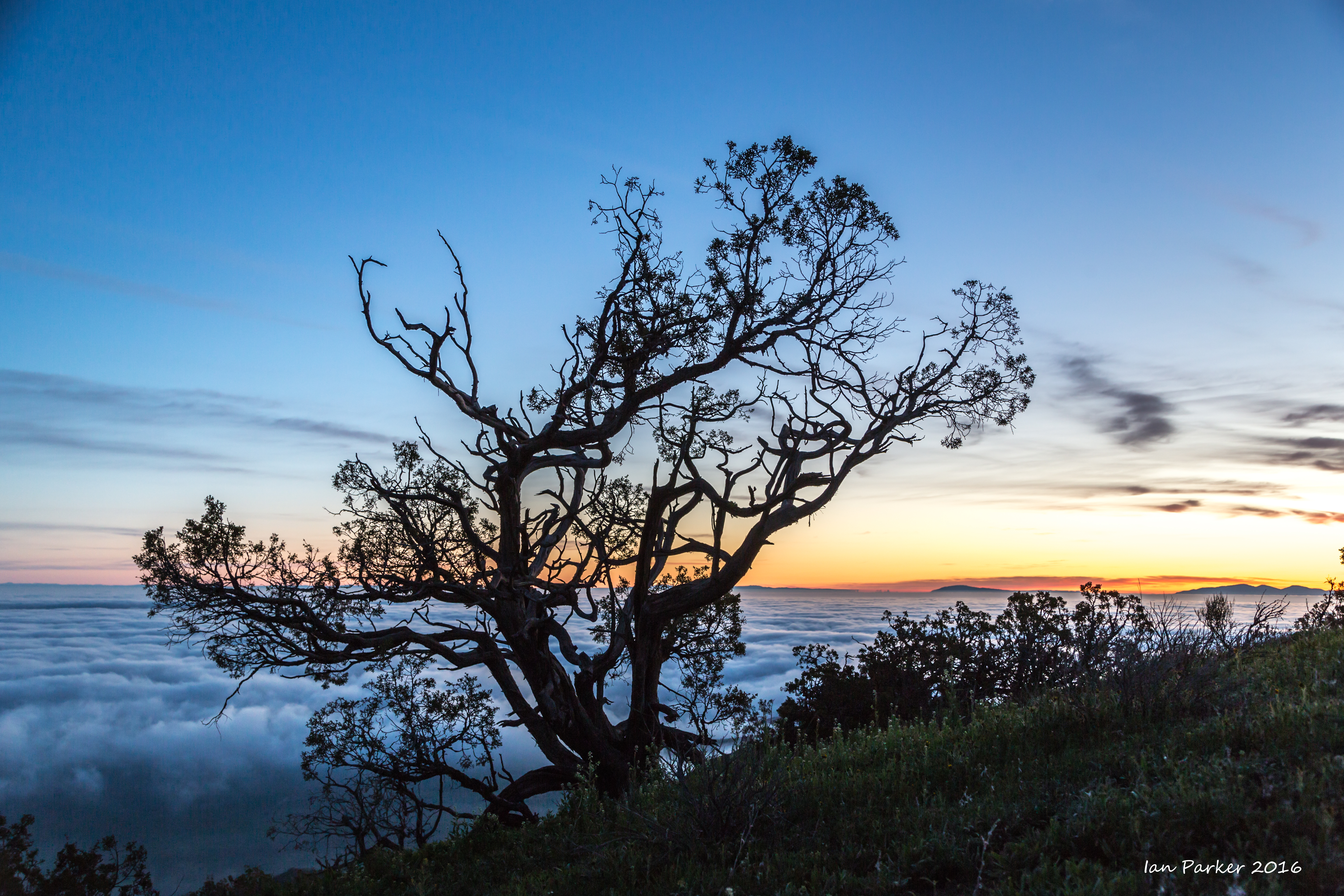
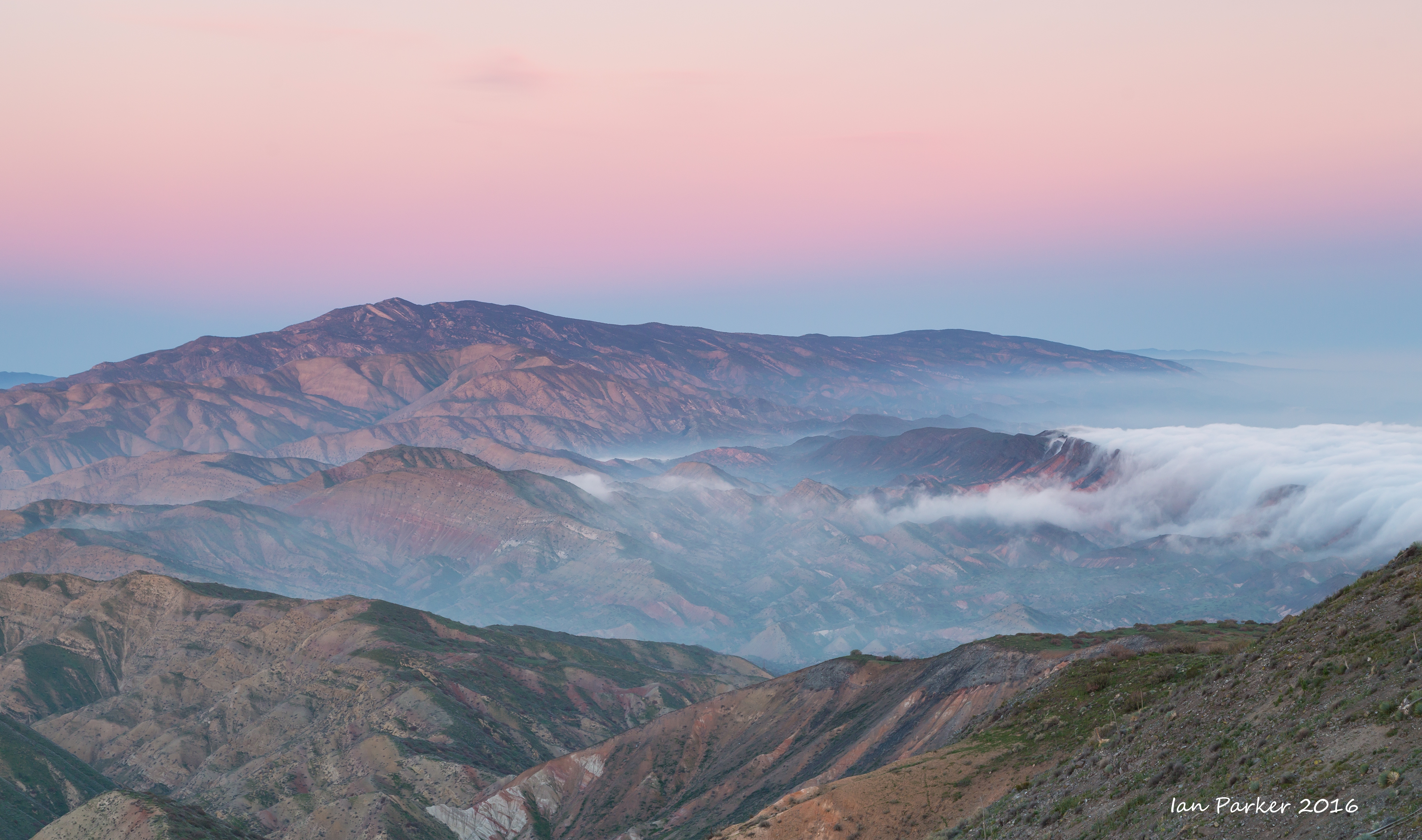
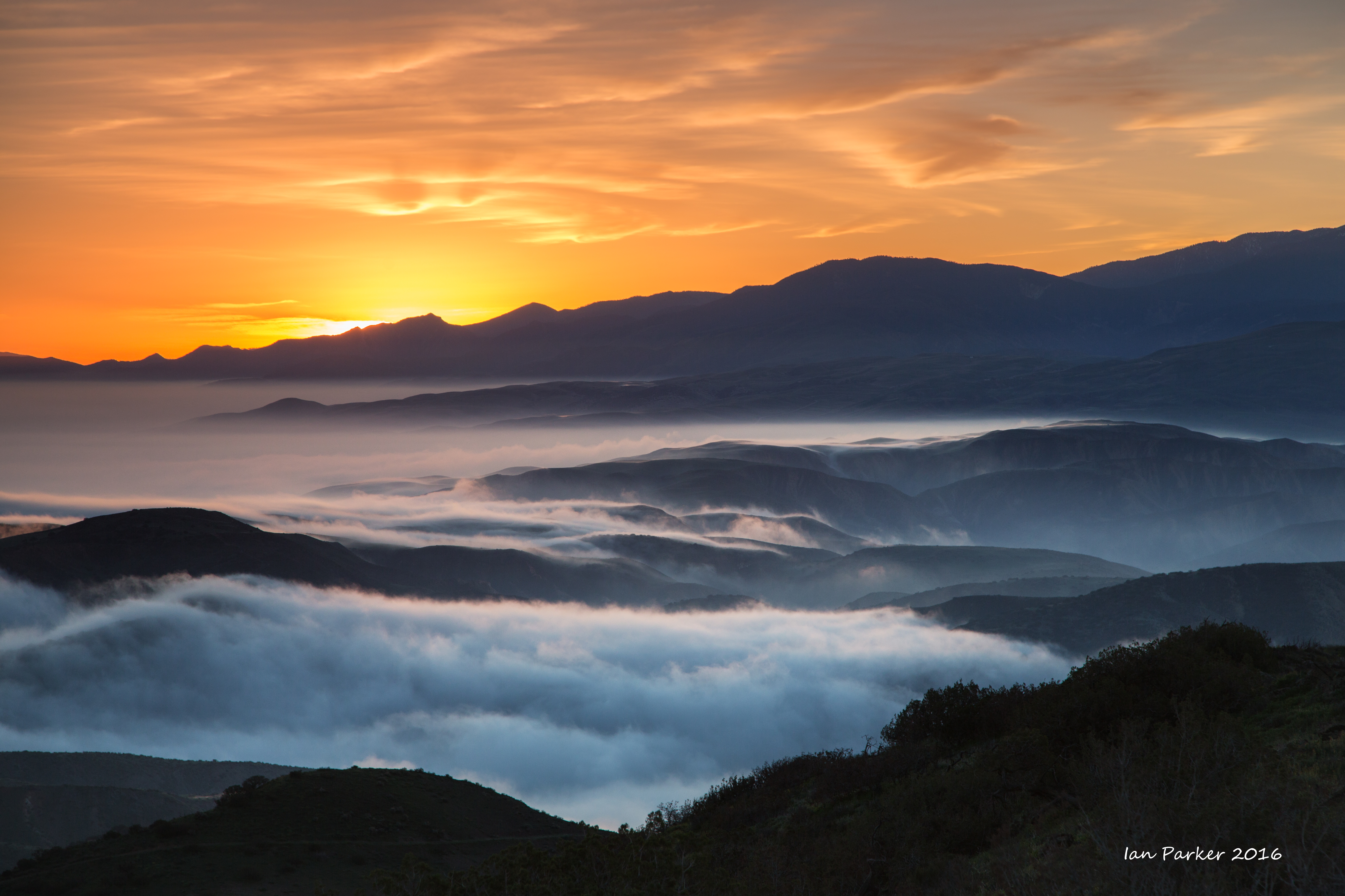
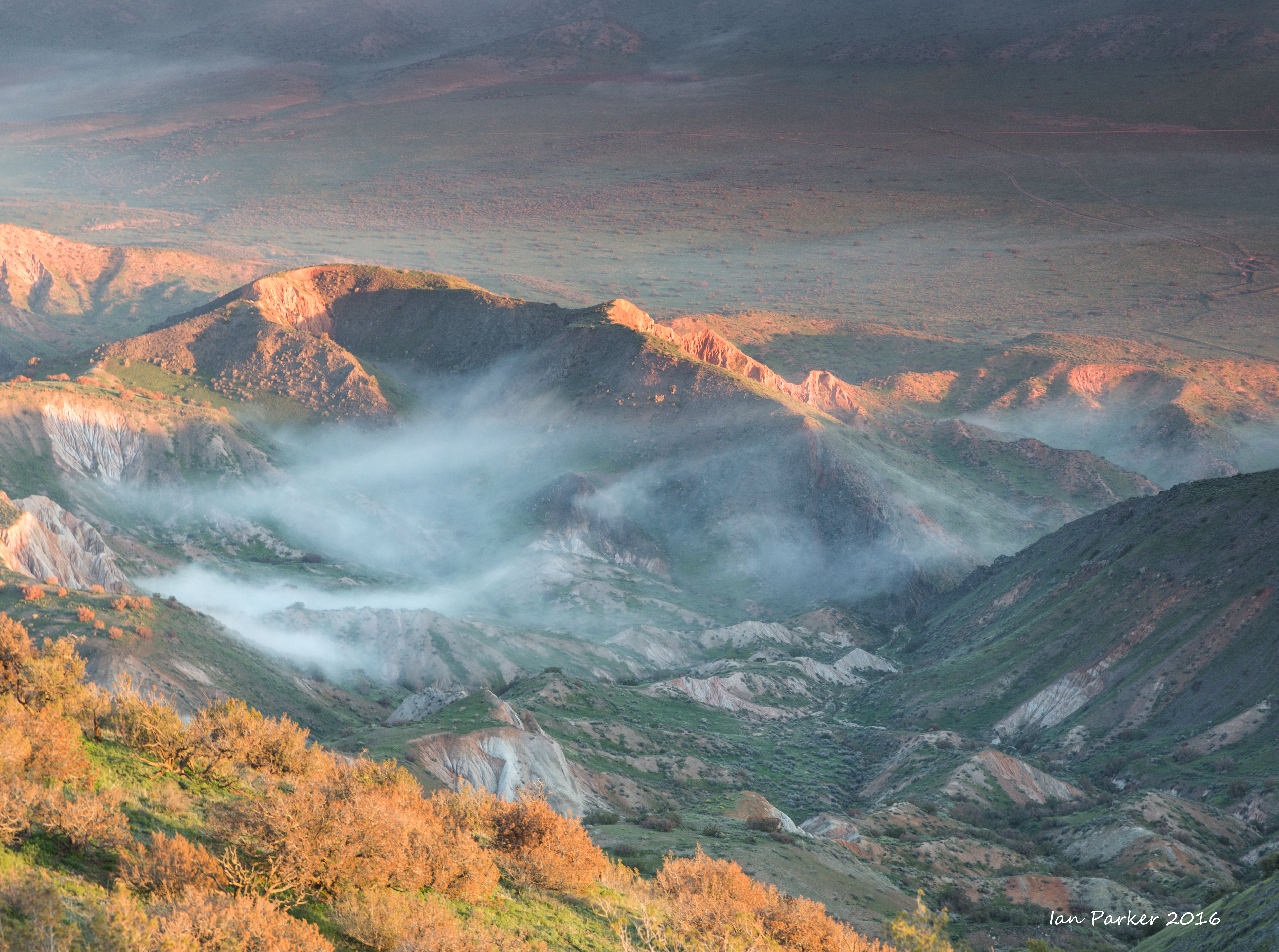
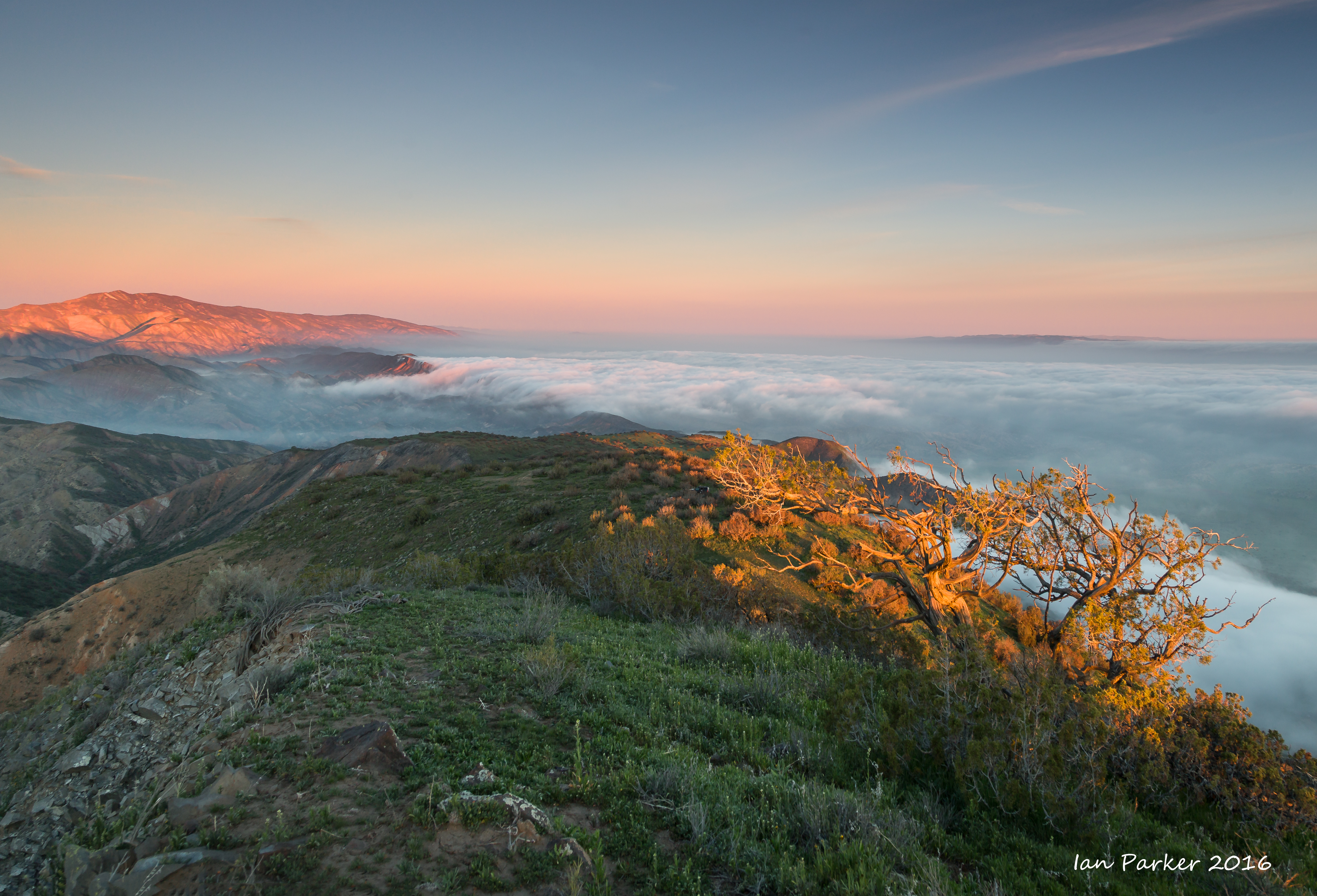
Carrizo Plain National Monument. Too early in the season for many wildflowers, but dense fogbanks over the plain gave great sunrise views from my campsite high up on the montain.
February 6,7
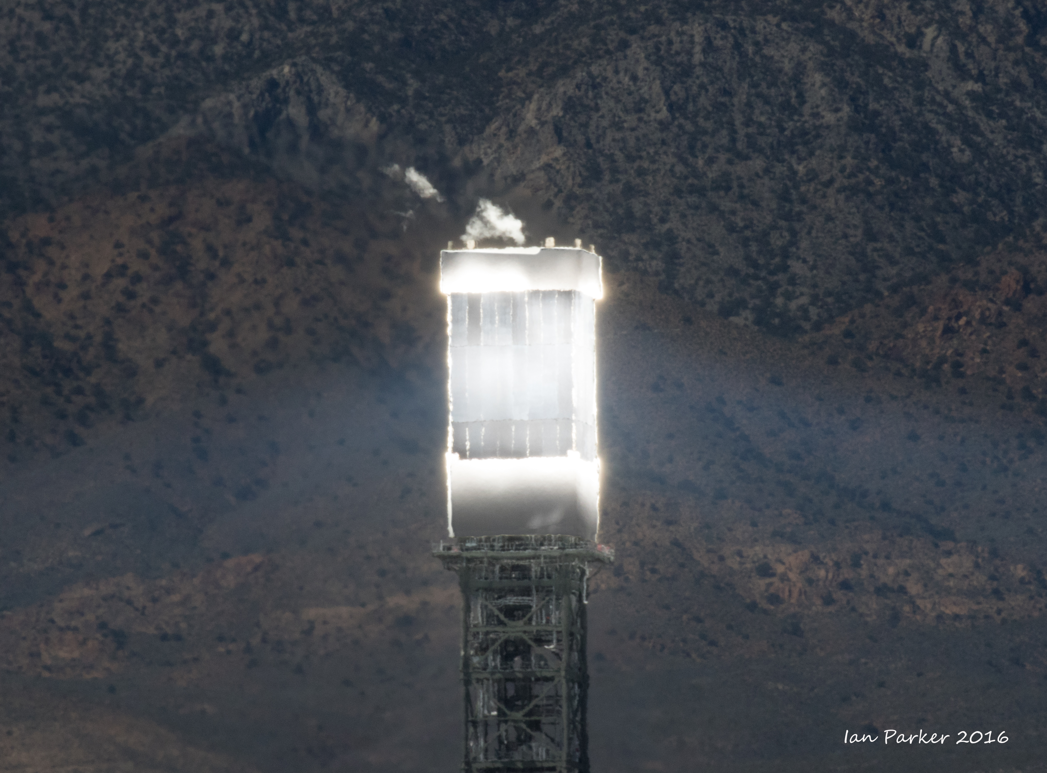
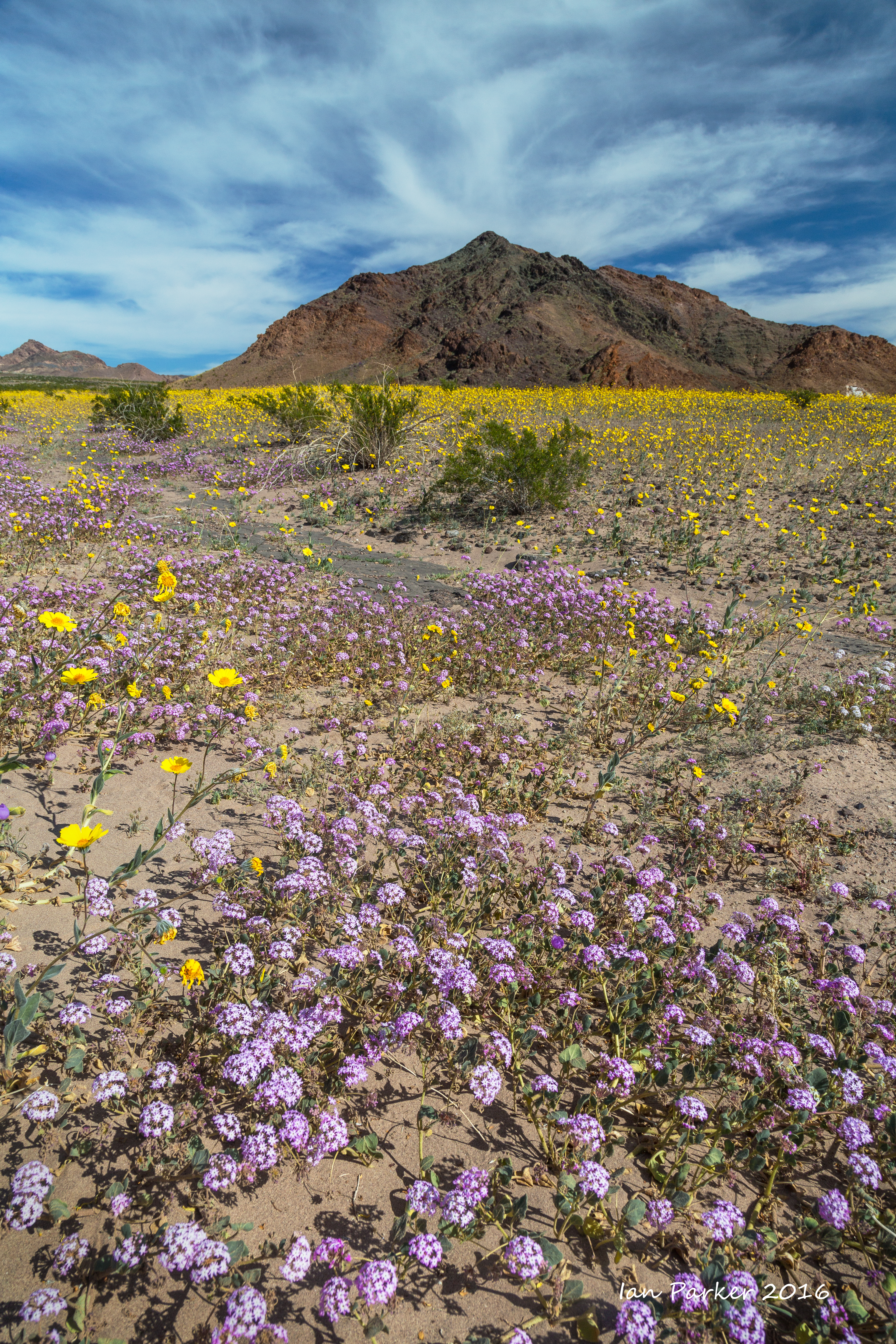
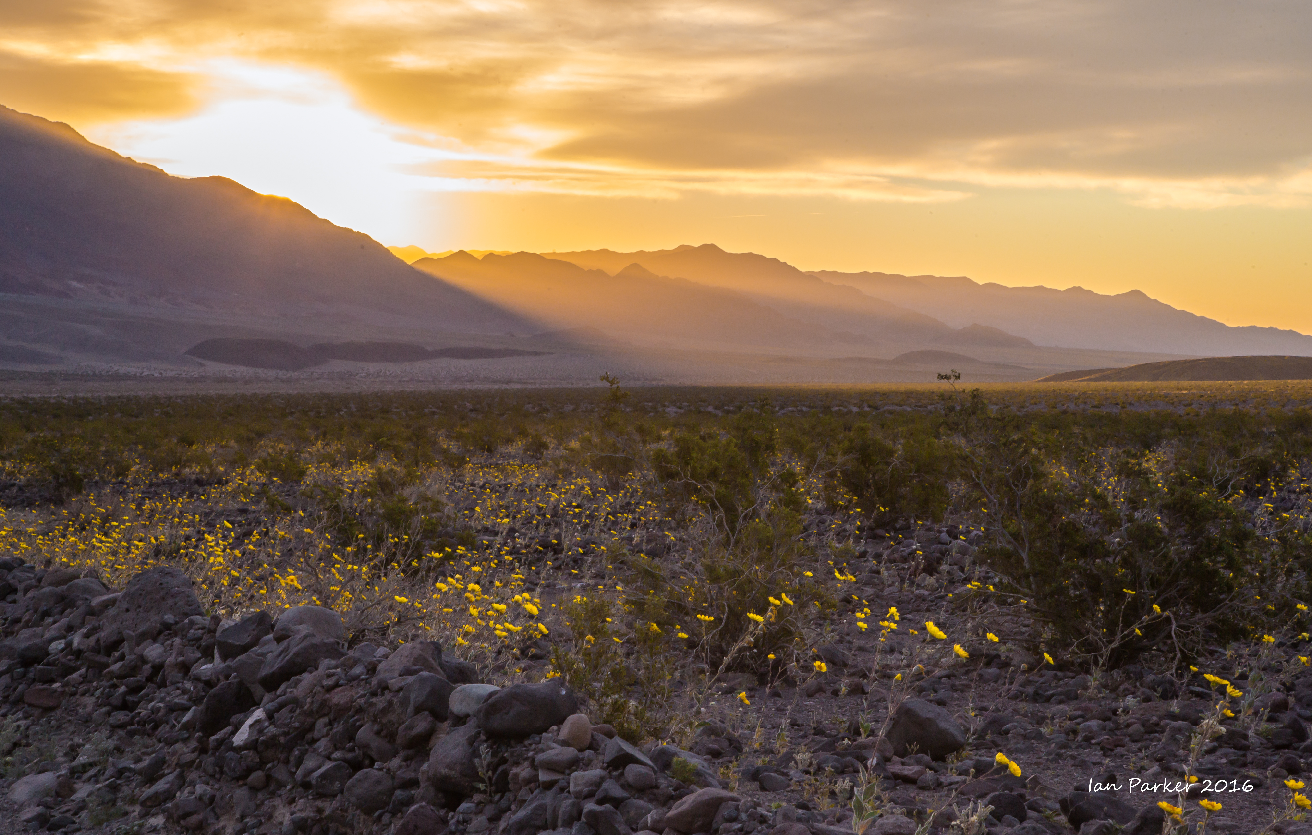
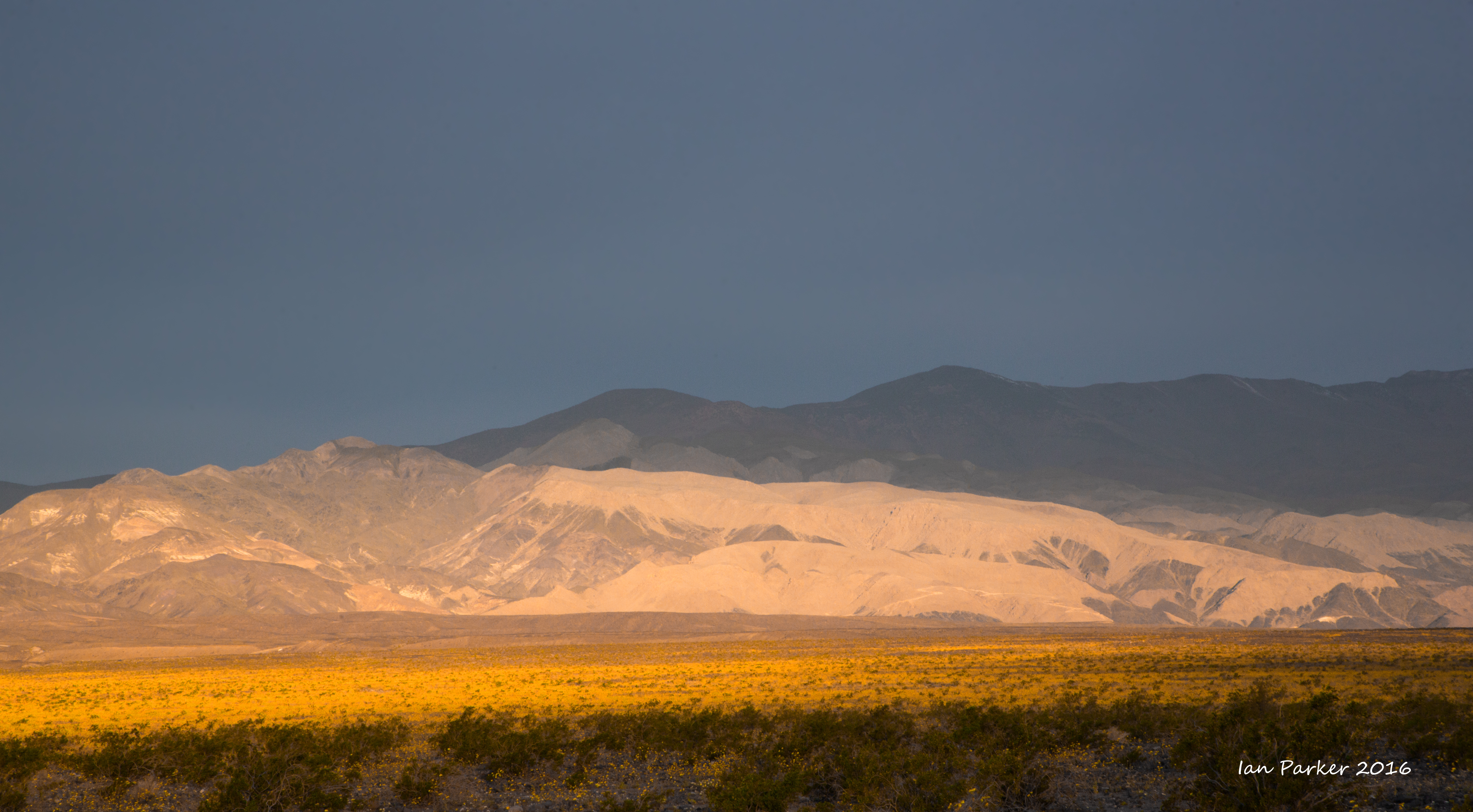
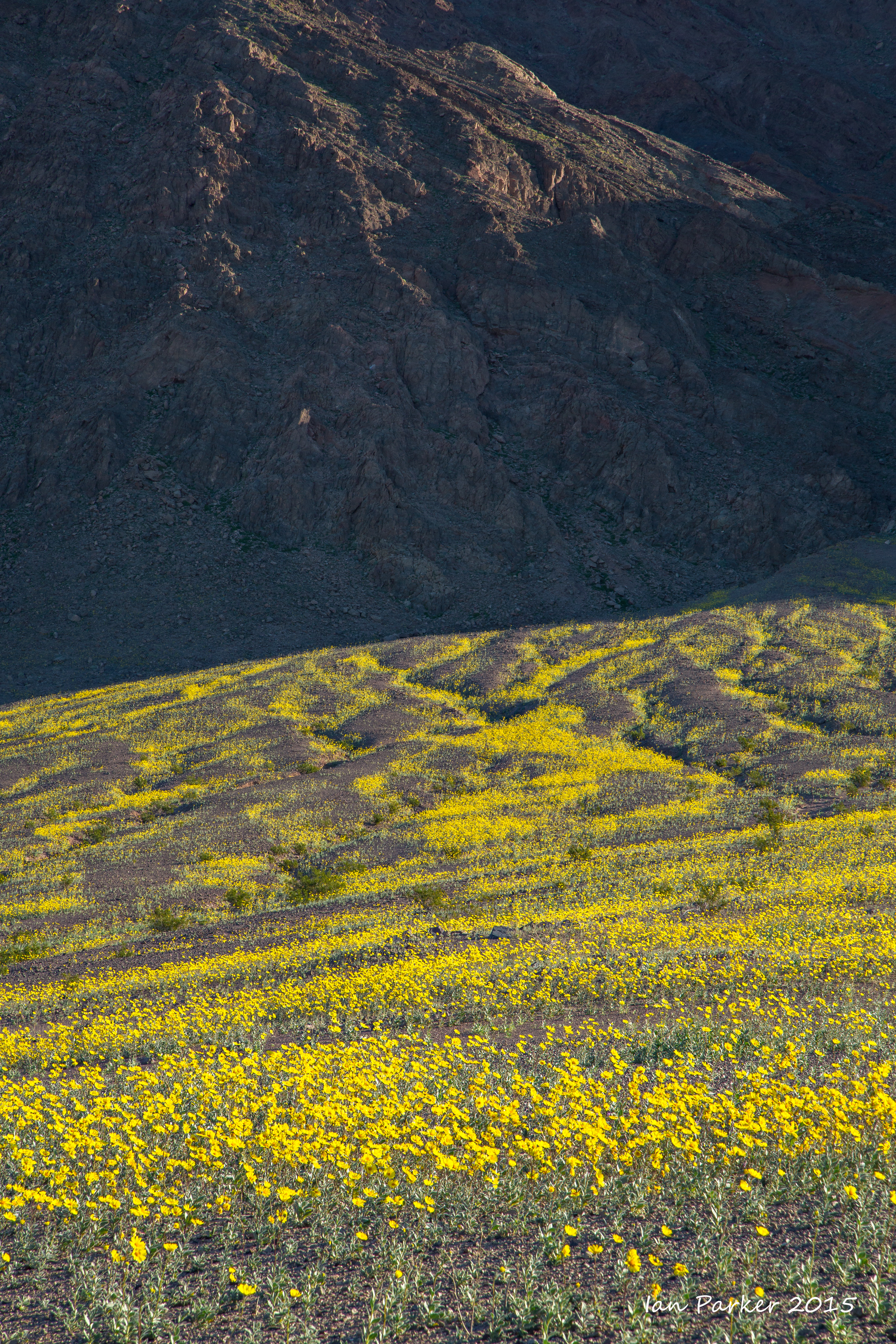
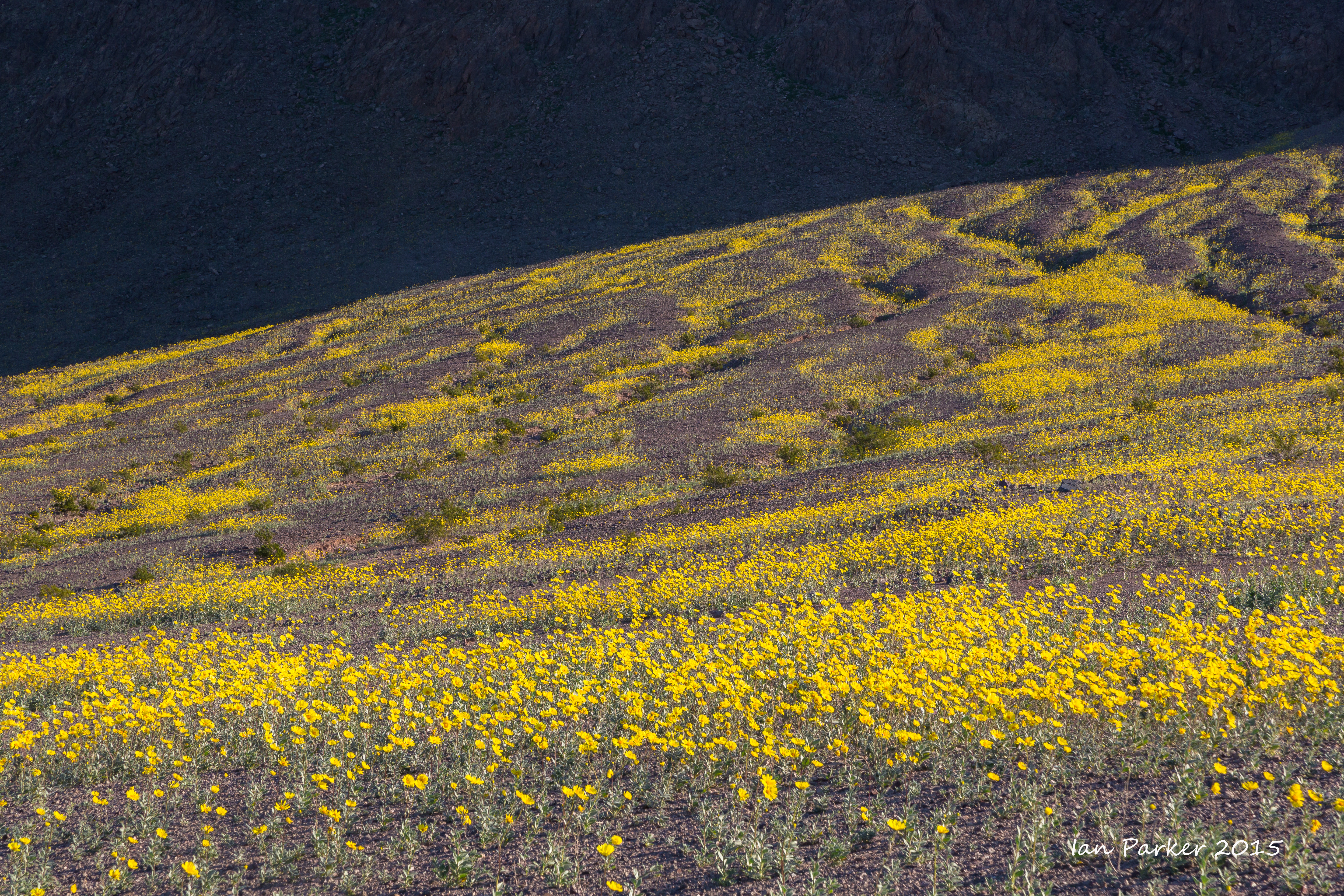
An early visit to Death Valley for the 2016 'superbloom'. We visited the south end of the National Park, south of Badwater, and had the flowers almost entirely to ourselves. The main road was closed by flash-flood damage at both ends - over Jubilee Pass and beyond Badwater - so the only access was via the unpaved Harry Wade route.
January 23,24
A short excursion up the California coast with an old friend from London

Monarch blurs : Pismo Beach
January 16-18
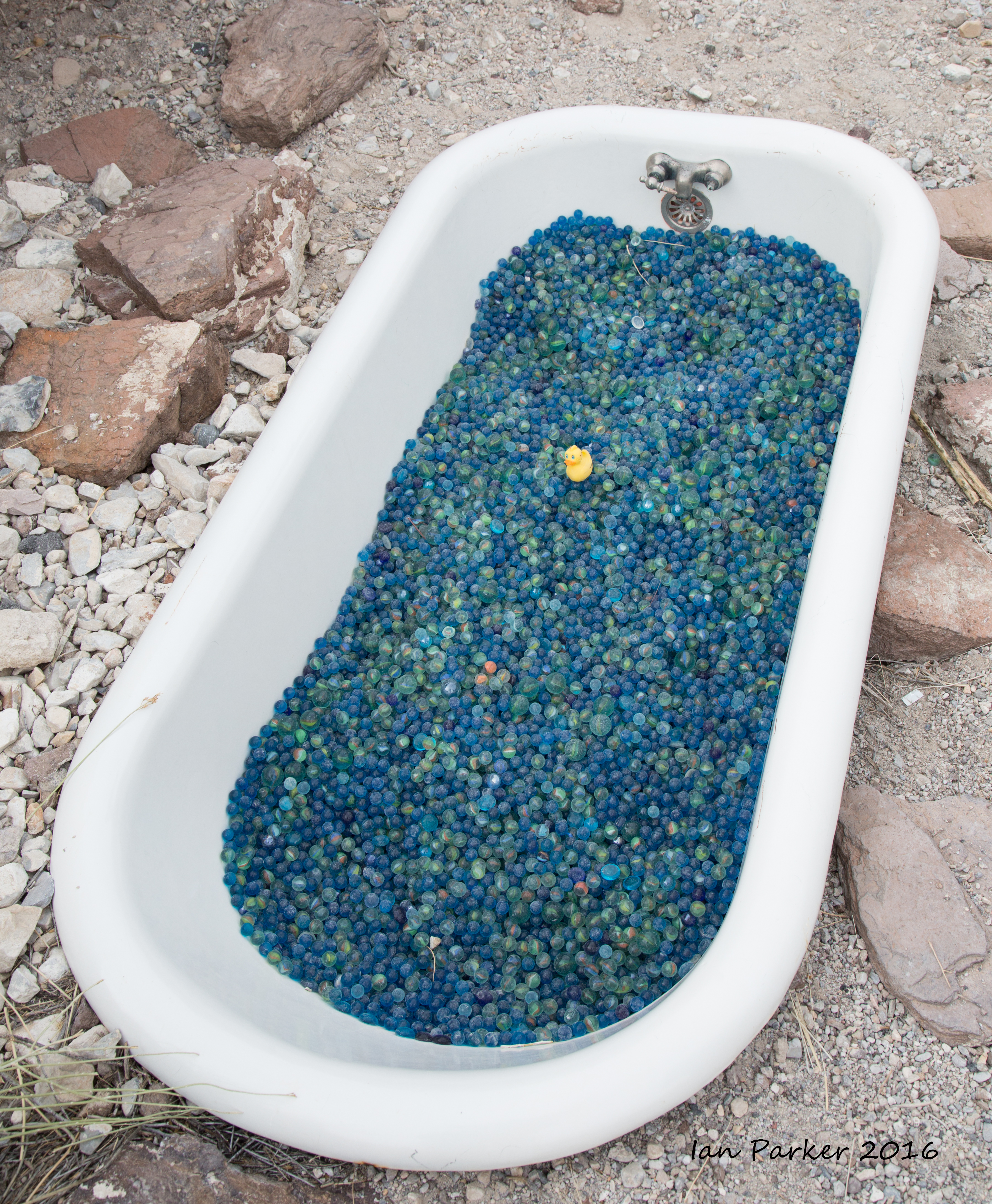
Our annual trip from Eureka Dunes over Steele Pass and through Saline Valley to bring new ducks to the Marble Bath
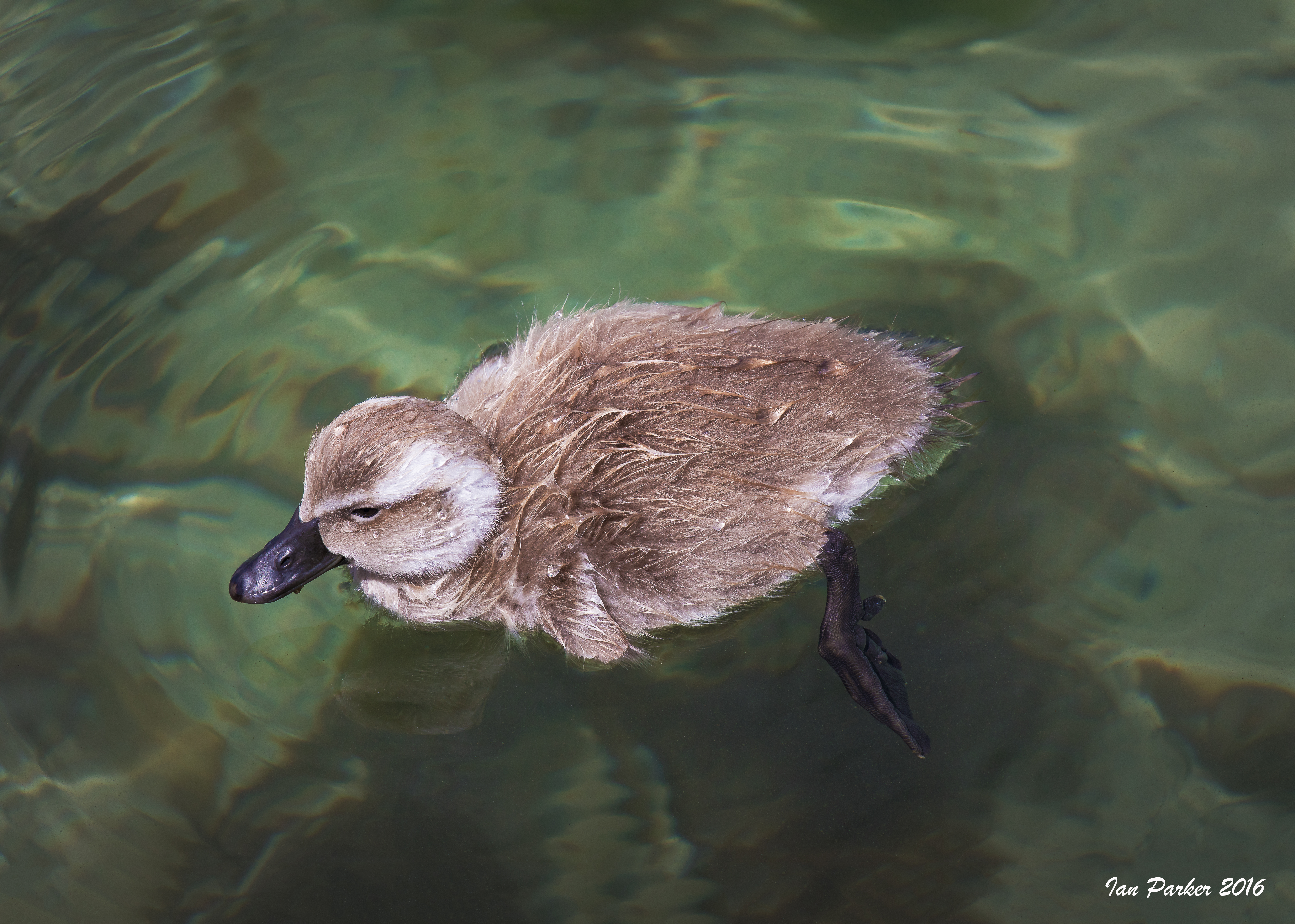
On reaching the Marble Bath we found only a sole remaining rubber duck. Given that these birds are flightless, it seems that the large flock that was present the previous year could not have departed of their own volition. We suspect the Park Service may have taken them into protective custody, as a new wilderness sign had been placed near the bath. Anyhow, we were happy to bring new ducks as company for the remaining survivor.
|


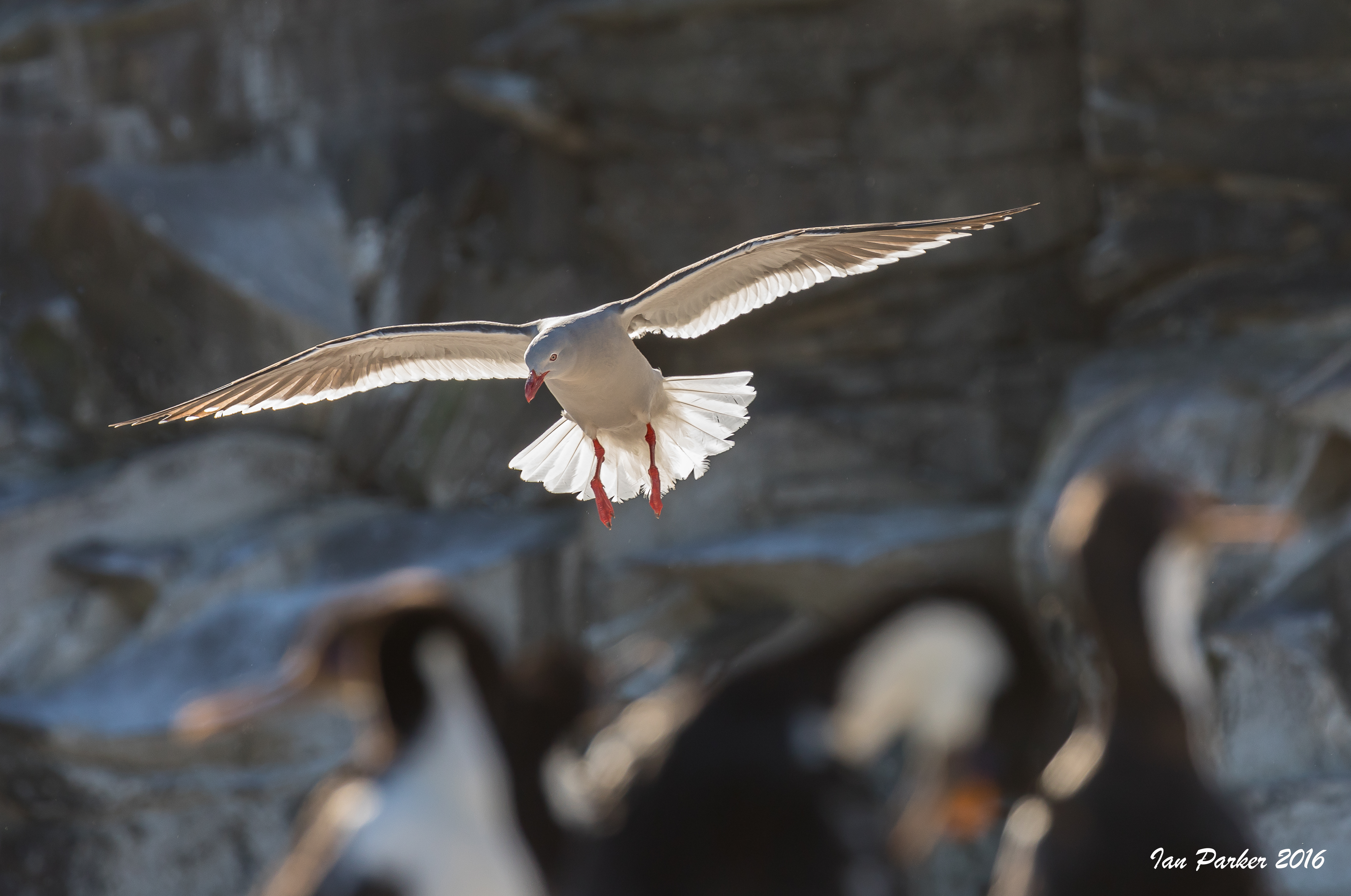


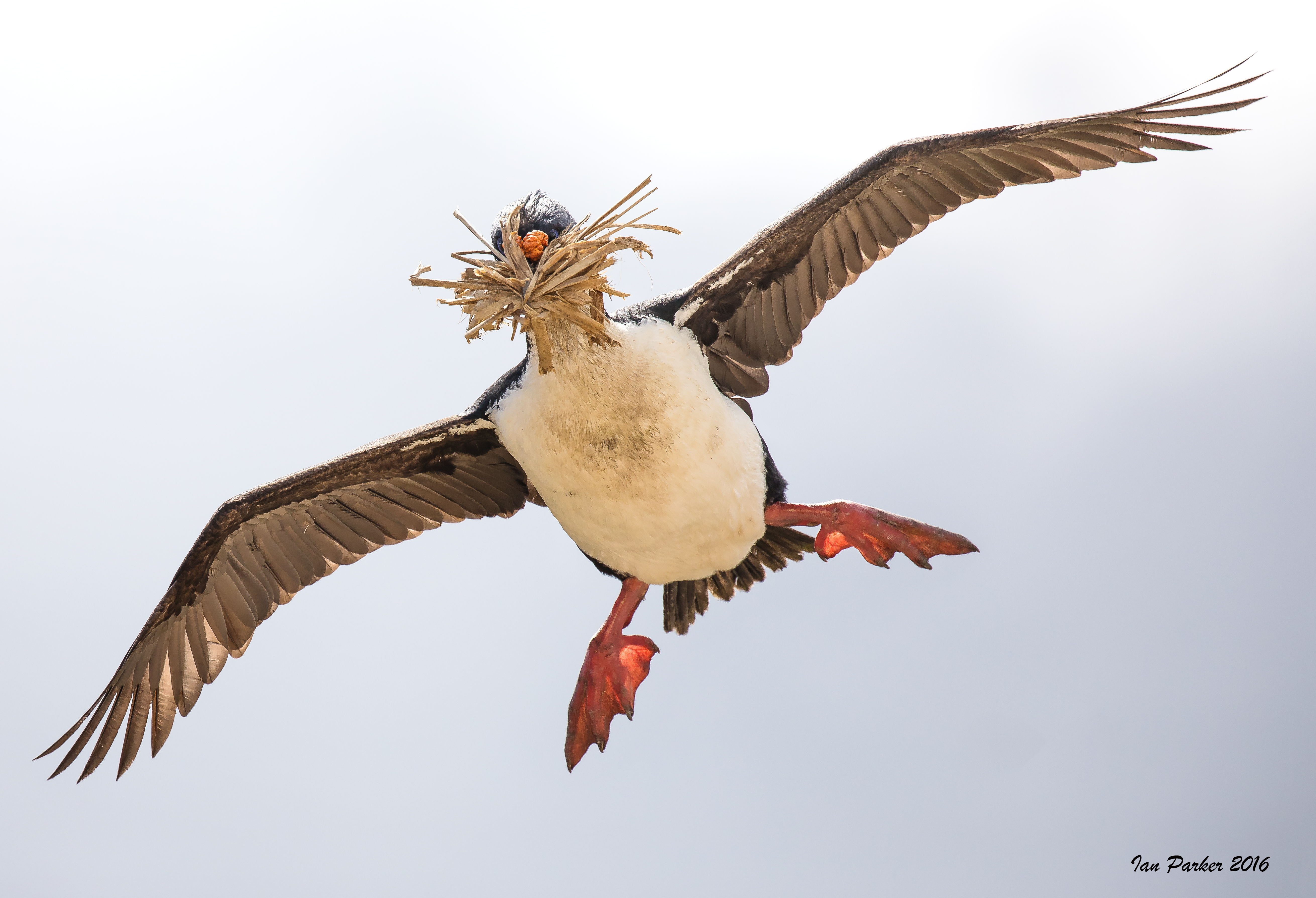
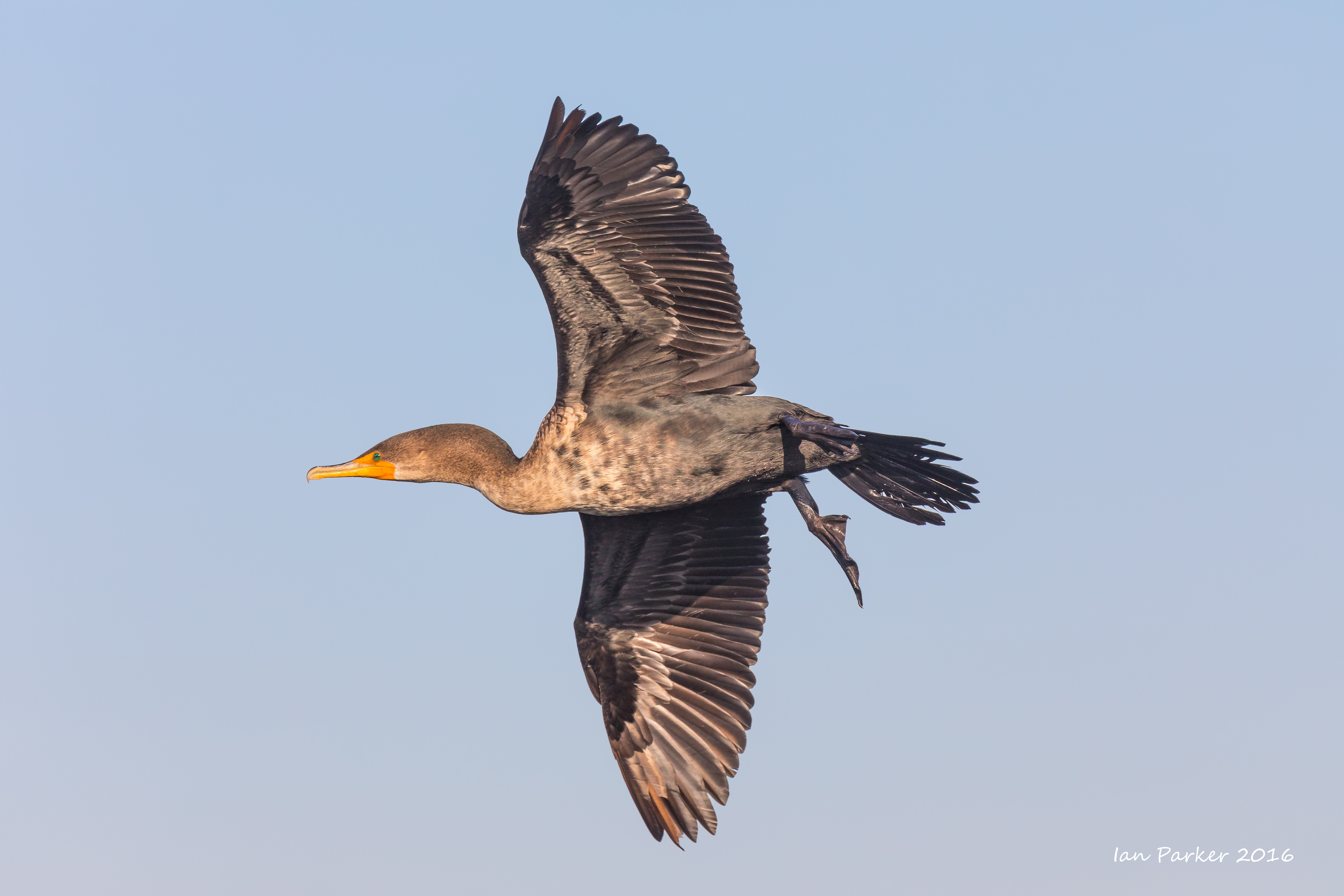
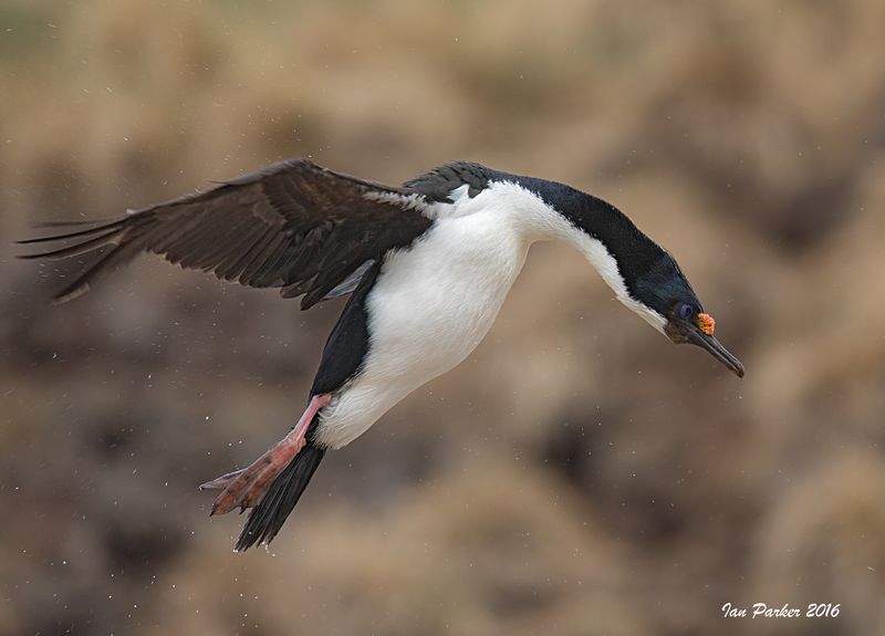 : Blue-eyed Shag looking down in flight: Bird Island, Falkland Islands
 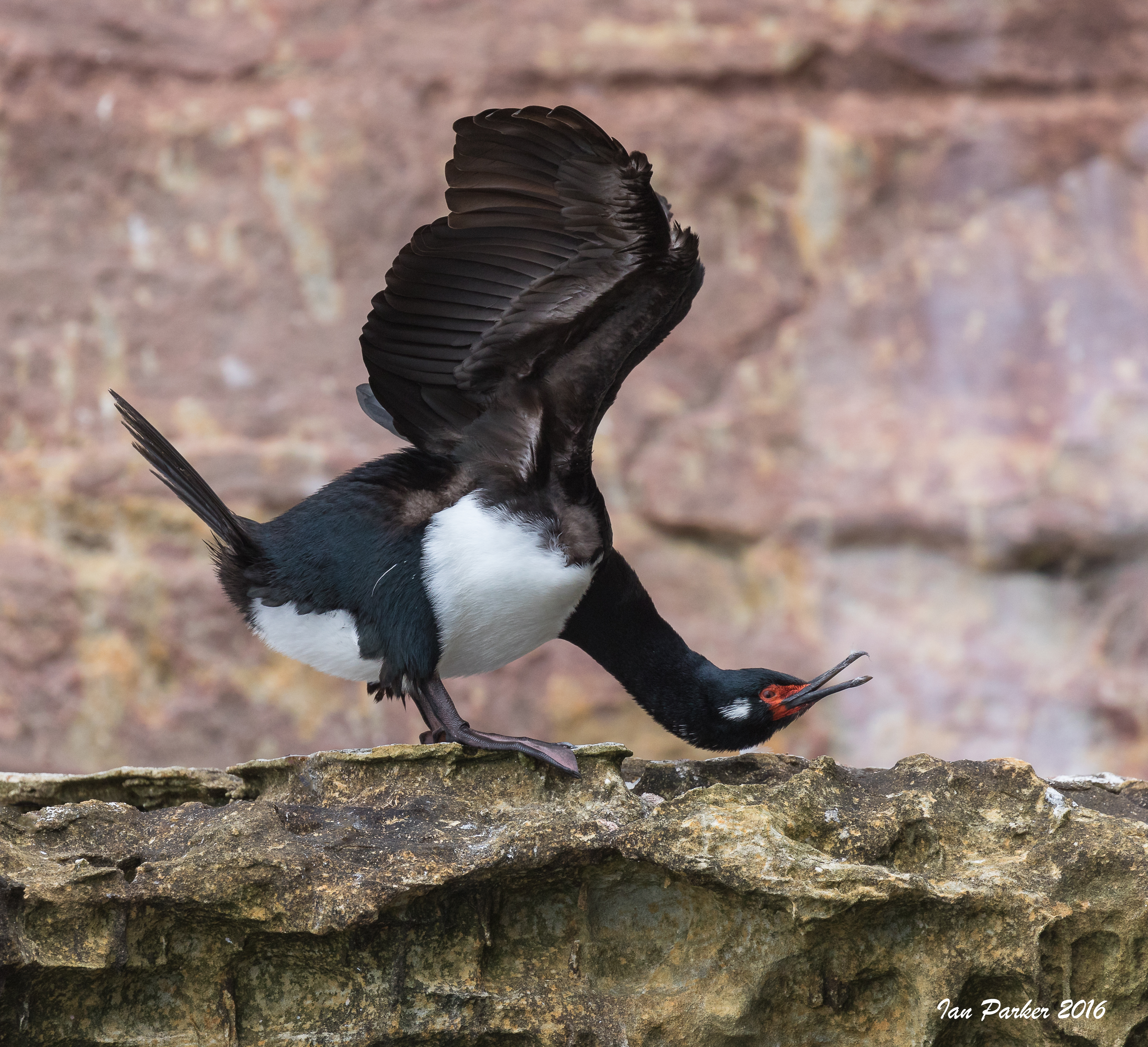 :
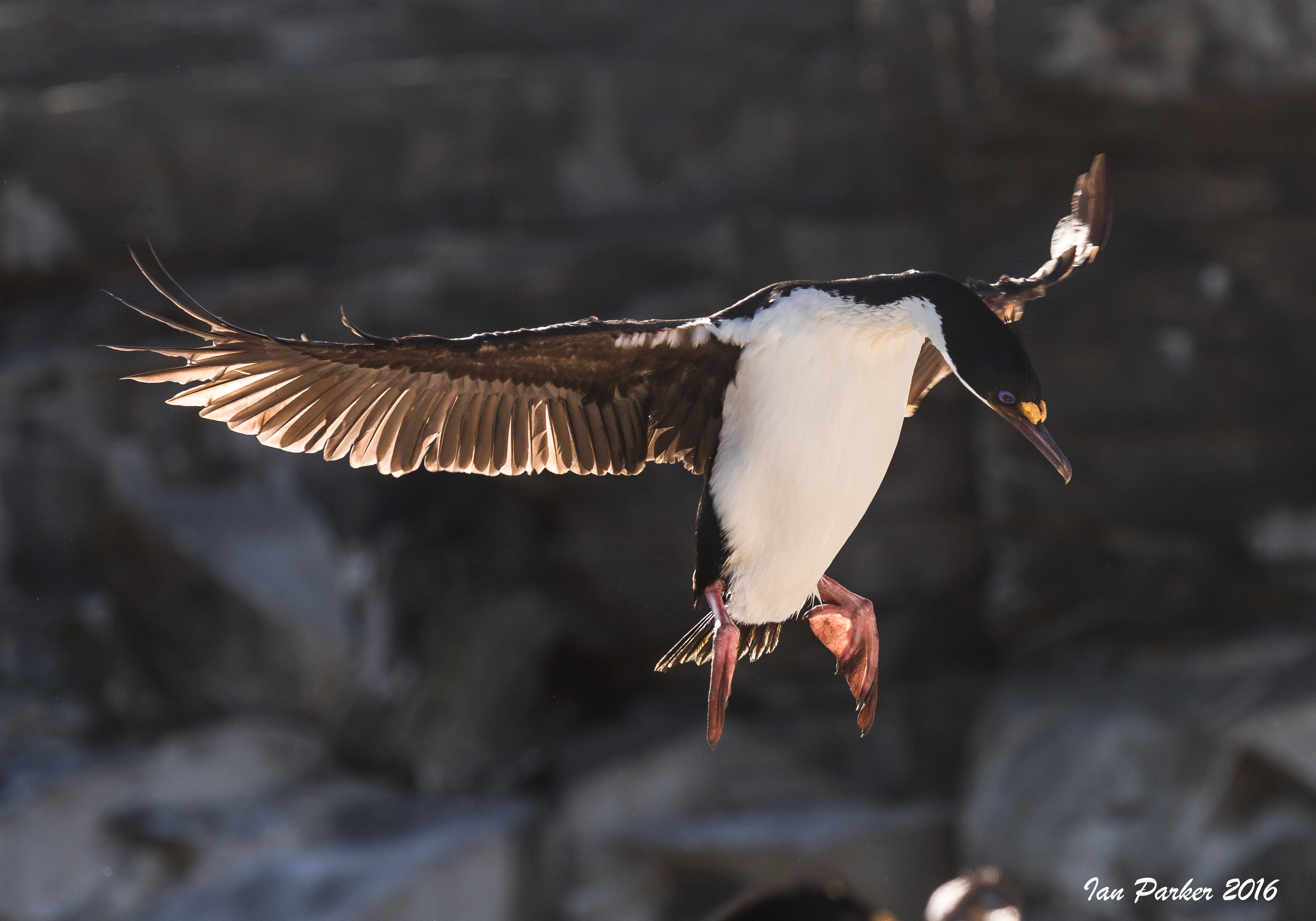
: 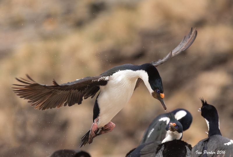 Blue-eyed Shag landing at colony: Bird Island, Falkland Islands

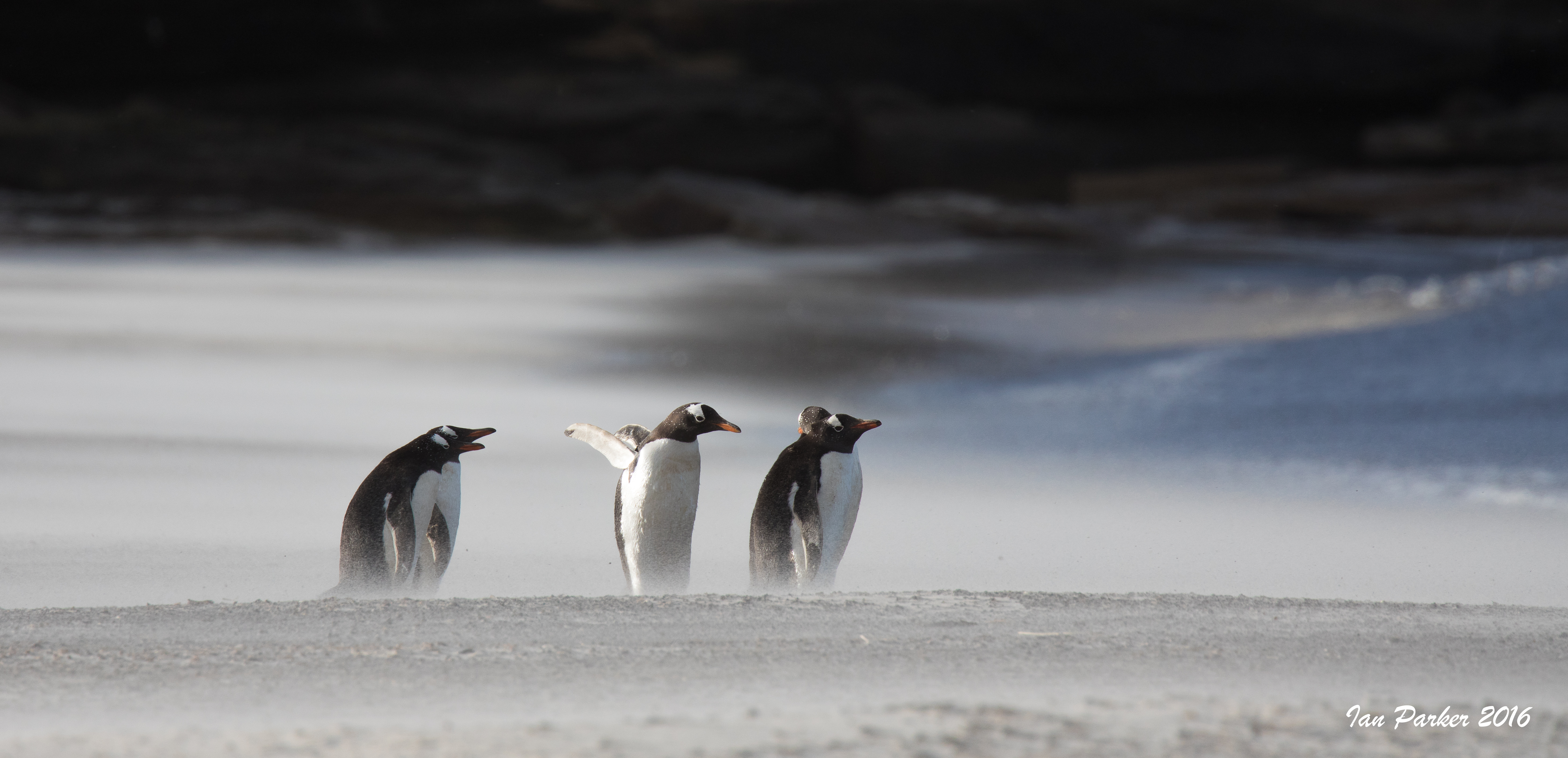
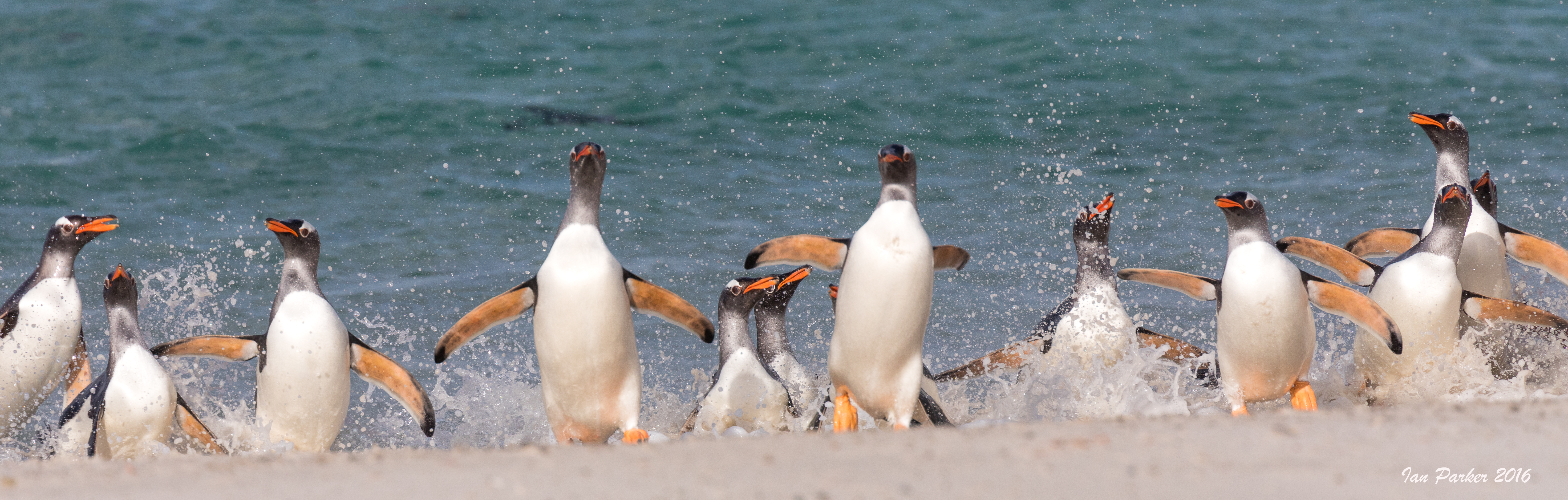
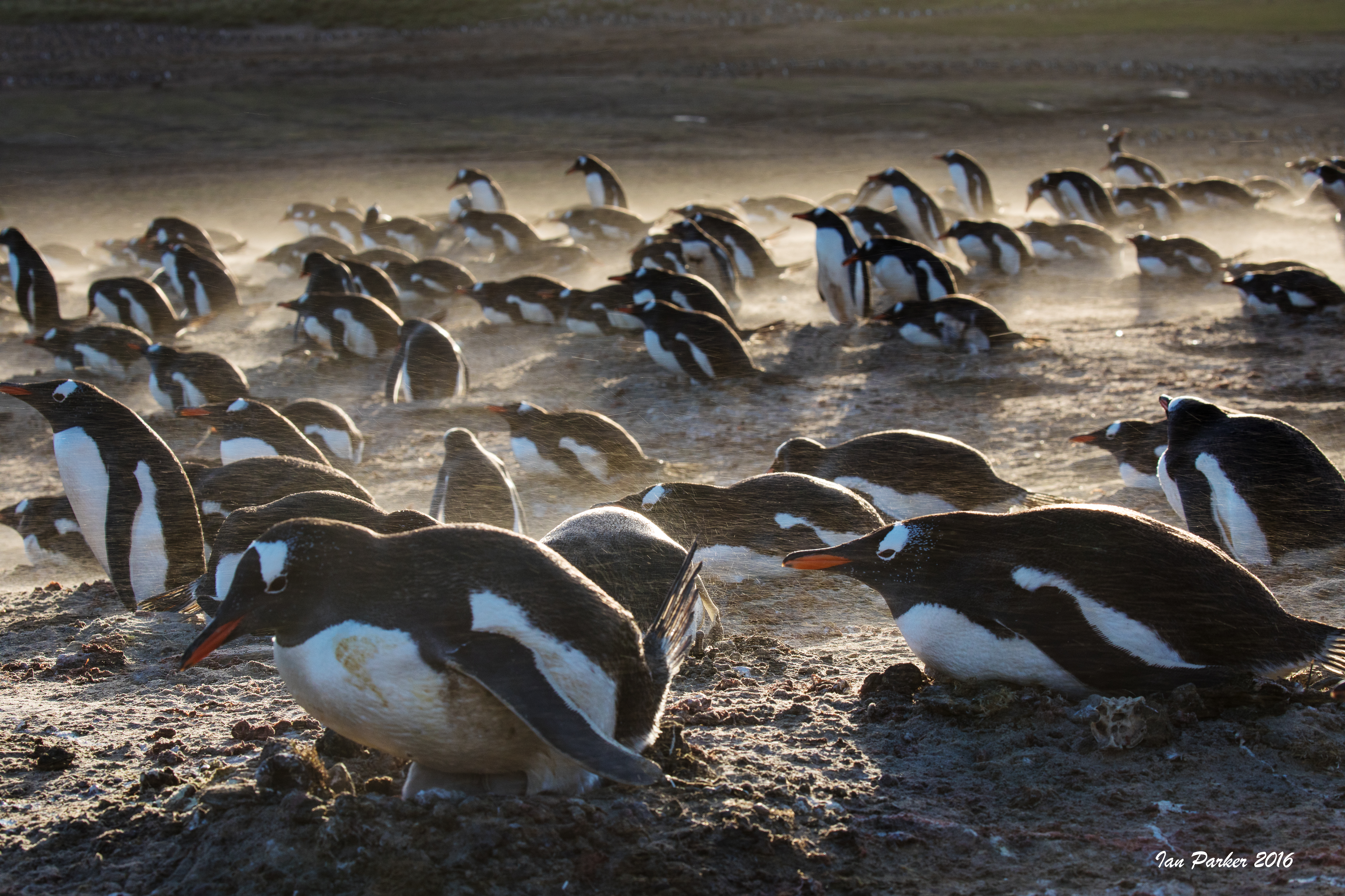
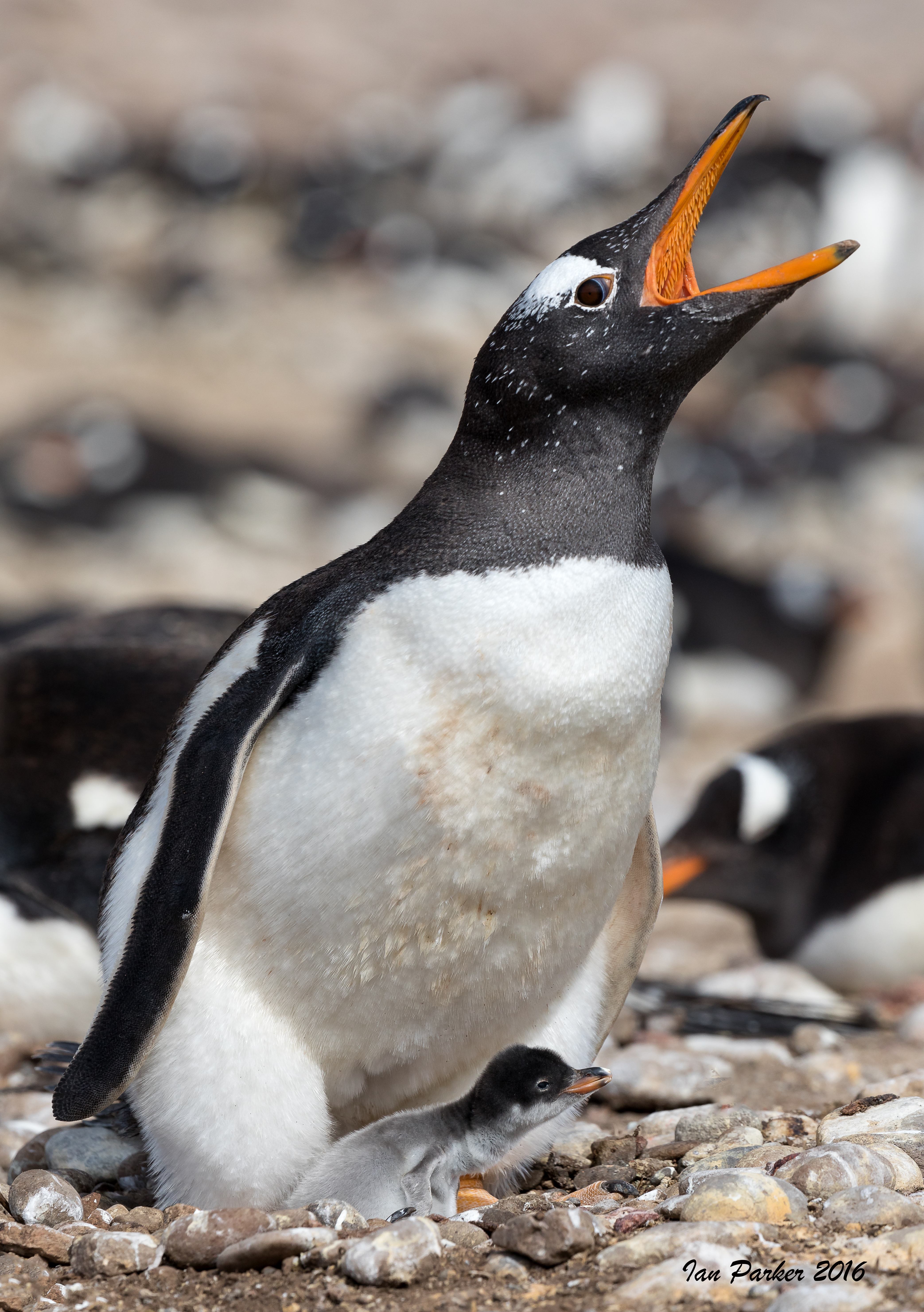
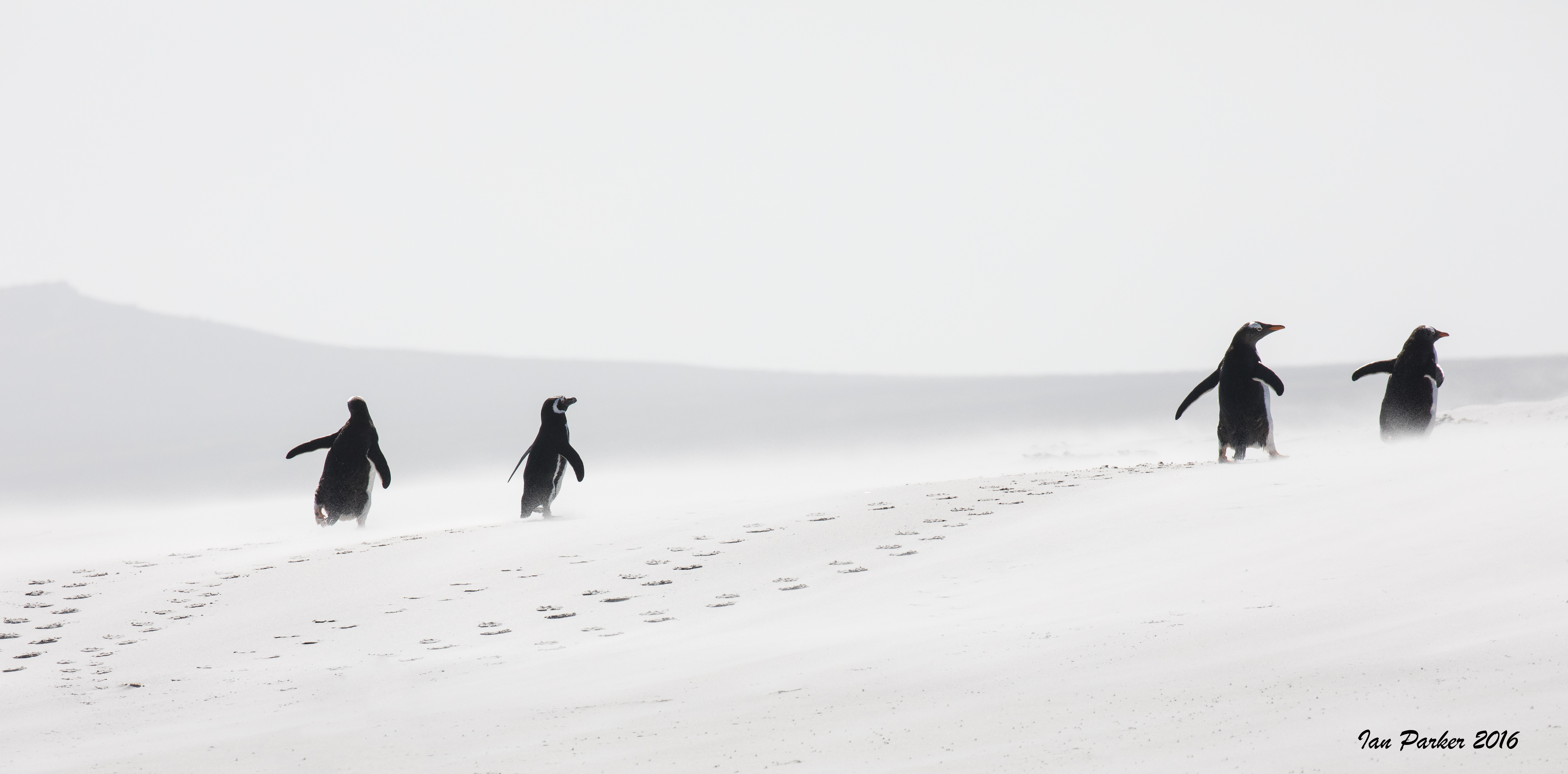
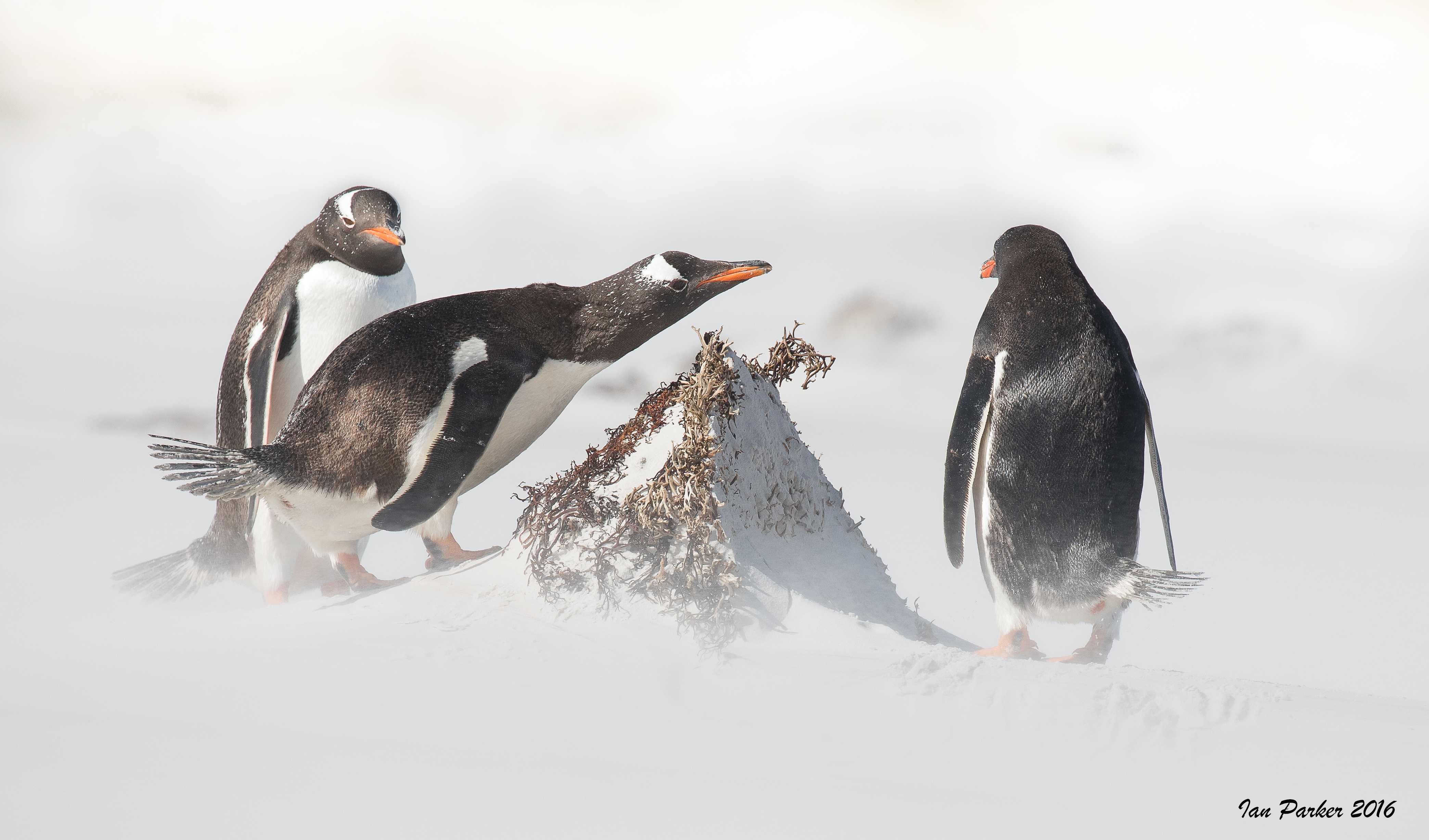
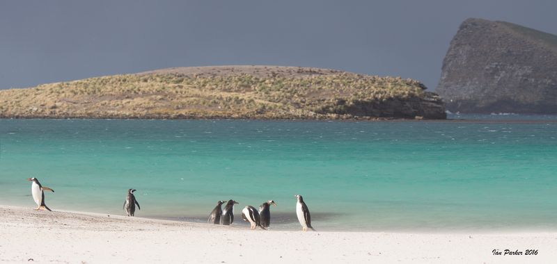 Gentoo Penguins on beach after passing squall: New Island, Falkland Islands
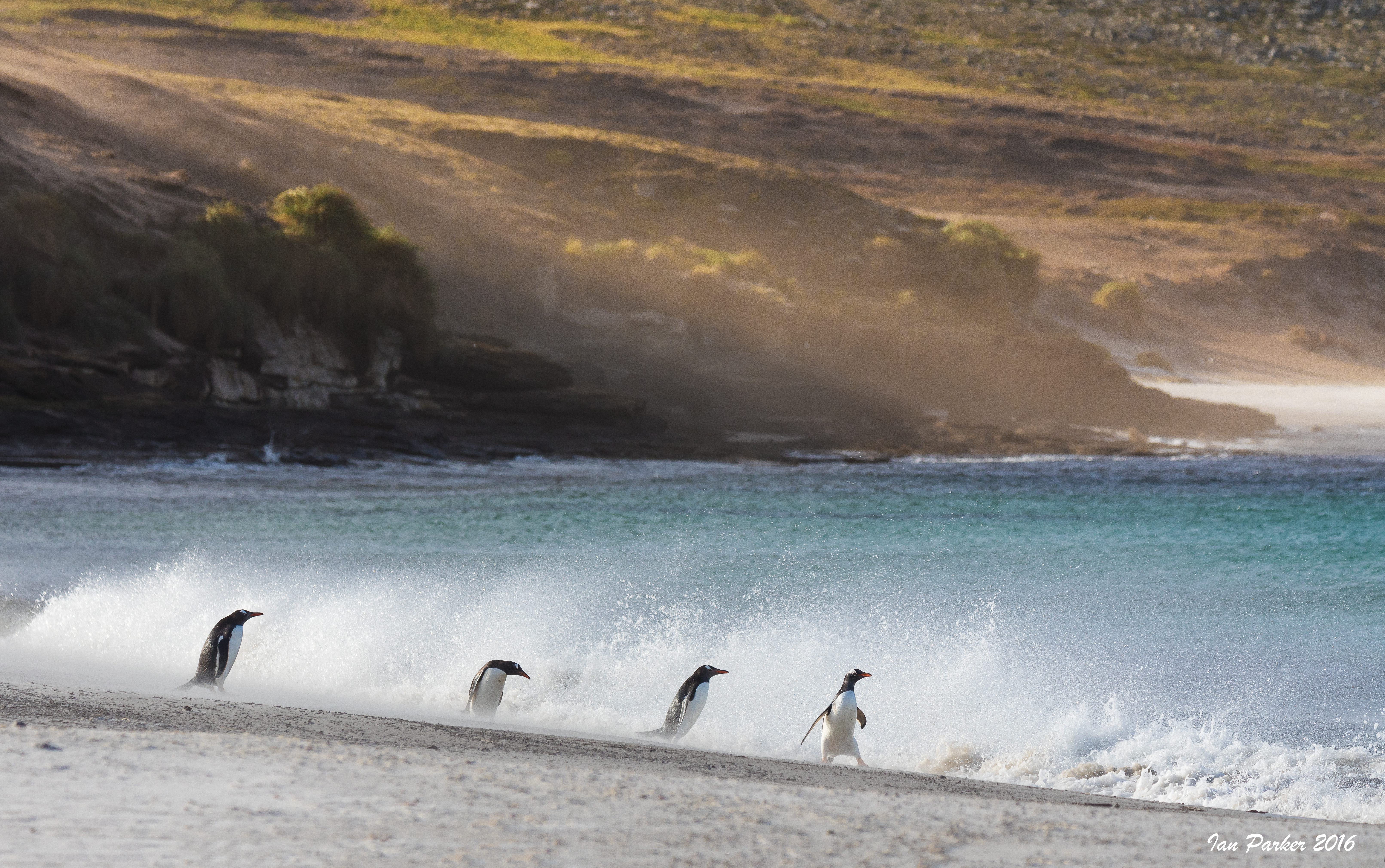


