<%@LANGUAGE="JAVASCRIPT" CODEPAGE="1252"%> Evanescent Light : Badwater


evanescent
: fleeting, transitory
evanescent wave: a nearfield standing wave, employed for total internal reflection microscopy

For faster browsing, click on the underlined text legend below any of the thumbnail images in the galleries. Use your browser BACK button to return you to the gallery. If you find a picture you like, you can download the image at full original resolution (usually between 10-30 Mpixels; with some panoramas >100 Mpix) by clicking on the thumbnail itself. To save a downloaded image, right click on it and scroll to 'save picture as...'. To use an image as your desktop background, right click and scroll to 'set as background...'.
Visitors are welcome to download images for personal use (e.g. as computer desktop wallpaper). Click HERE to order prints online. Please contact Ian Parker at evanescentlightphotography@gmail.com regarding possible commercial use. Details of copyright, image use and licensing are HERE.

Back to Evanescent Light Homepage

 
CALIFORNIA
Alabama Hills
Anza Borrego
Badwater 135
Big Sur
Bodie
Bristlecone Pines
Bolsa Chica
Bombay Beach
Carrizo Plain
California coast
Death Valley
D.V. Superbloom
Eureka Dunes
High Sierra
Imperial Dunes
Joshua Tree
King's Canyon
Lassen N.P.
Log Cabin mine
Mojave Desert
Mono Lake
Northern CA
Owens Valley
Pacific Redwoods
Point Lobos
Racetrack valley
Saline valley
Salton Sea
Salton Sea Ultra
San Joaquin marsh
Trona Pinnacles
UCI & The OC
Yosemite
508 bike race
 
USA
Anasazi Ruins
Antelope Canyon
Arches Natl. Park
Bisti Badlands
Bosque d'Apache
Bryce
Buffington Pks
Canyn. de Chelly
Canyonlands
Capitol Reef
Cedar Breaks
Chaco Canyon
Comb Ridge
Coyote Buttes S.
Crater Lake
Escalante
Folk School
GAP Trail
Glen Canyon / Lake Powell
Grafton ghost town
Grand Canyon
Hanksville
Kodachrome Basin
KOFA N.W.R.
Little Finland
Maine & Acadia
Monument Valley
Natural Bridges
Nevada
New Mexico
Other Places in S.W. U.S.A.
Oregon Cascades
Oregon Coast
Oregon, Columbia River Gorge
Oregon, Painted Hills
Parashant N.M.
Paria River
Petroglyphs
Pittsburgh
Saguaro N.P.
The Sand Hills
San Raphael Swall
The Wave
Valley of Fire
Valley of the Gods
White Pocket
Yant Flat
Yellowstone
Zion
 
ICELAND
Aurora
Ice
Water
Sea
Land
Sky
Flora & Fauna
Man
 
South & Central America
Belize
Easter Island
Bolivia/Chile, Landscapes
Bolivia/Chile, Wildlife
Bolivia, Salar de Uyuni

Bolivia/Chile, Works of Man

Carretera Austral
Patagonia
Tierra del Fuego
 
EUROPE
England - Canals
England - North
Faroe Islands
France
Lofoten Islands
Scotland - Aberdeenshire
Scotland- Western Isles
Tuscany
 
ASIA
Burma-Lake & River
Burma-Monks
Burma-Pagodas
Burma-Rural
Cambodia
India -Delhi
India -Kumbh Mela
India - Rann of Kutch
India - Varanasi
Laos
Singapore
Vietnam
Hong Kong
 

JAPAN

Red-crowned cranes
Whooper swans
Sea Eagles
Snow Monkeys
Hokkaido Landscapes
Hokkaido wildlife
 
AUSTRALIA
Animals & birds
Uluru
Landscapes & cityscapes
 
NEW ZEALAND
NZ Coast
NZ Mountains
NZ Wildlife
 
SUBANTARCTIC ISLANDS
Campbell Island
Snares Island
Macquarie Island
Auckland Islands
Bounty Islands
Antipodes Islands
Chatham Islands
Pyramid Rock
 
AFRICA
Cape Town
Sossusvlei
Wildlife
Flora
Morocco
Namibia landscapes
Namibia guide
 
FALKLANDS
Bird Island
Carcass Island
Grand Jason
Grave Cove
New Island
Pebble Island
Saunders Island
Sea Lion Island
Steeple Jason
Volunteer Point
West Point Island
 
Sth. GEORGIA
Cape Disappointment
Cooper Bay
Elsehul
Godthull
Gold Harbour
Grytviken
Hercules Bay
Jason Harbour
Larson Harbour
Nordenskold Glacier
Ocean Harbour
Prince Olav Hbr. /Fortuna Bay
Prion Island
Right Whale Bay
Salisbury Plain
St. Andrews Bay
Southern Ocean birds
Skyscapes
Stromness
Twitcher Glacier
 
ARCTIC
Svalbard Birds
Svalbard Flora
Svalbard Land
Svalbard Longyearbyen
Svalbard Polar Bears
Svalbard Wildlife
Greenland - ice
Greenland - land
 
ANTARCTIC PENINSULA
Ice
Land & sky
Wildlife
 
ROSS SEA
Land, sky, ice
Historic Huts
Wildlife
Balleny Islands
 
PANORAMAS
 
THEMATIC
Abstract
Arches & Bridges
Birds
Doorways
Fall Colors
Flowers
Gastronomy
Hoodoos
Ice
Jellyfish
Nightscapes
Other...
Penguins & puffins
Reflections
Roads
Skyscapes
Slot Canyons
Superblooms
Trees
Waterfalls
Wildlife
 
SCREENSAVER DOWNLOADS
 
Parker Lab at UCI
 
Visitors since 2006
EditRegion3
 

Badwater 135 Ultramarathon
The "World's toughest footrace"


Death Valley to Mount Whitney


Covering 135 miles (217km) non-stop from Death Valley to Mt. Whitney, CA, the Badwater® 135 is the most demanding and extreme running race offered anywhere on the planet. The start line is at Badwater Basin, Death Valley, which marks the lowest elevation in North America at 280’ (85m) below sea level. The race finishes at Whitney Portal at 8,300’ (2530m), which is the trailhead to the Mt. Whitney summit, the highest point in the contiguous United States.

I had previously completed the race 9 times in 2002 through 2011, and returned several times later not as a runner but as race staff photographer. Over those years the race changed considerably. The cutoff time for official completion was reduced from 60 to 48 hours in 2011; in 2014 the Death Valley National Park imposed a moraorium on sporting events so the course was re-routed to include climbs to Horseshoe Meadow and Cerro Gordo; and from 2015 onward the race has started in the evening rather than the morning, so runners are no lnger exposed to the fyll daytime heat of the hottest place on earth.

Click HERE for the Badwater 135 website.

Click on the links below for photos from other annual editions of the Badwater, and for the years (2002-2012) when I was runnng Badwater.

Badwater 2022    
Badwater 2021 Badwater 2019 Badwater 2015
Badwater 2014 Badwater 2013 Badwater 2002-12


Return to Badwater home page
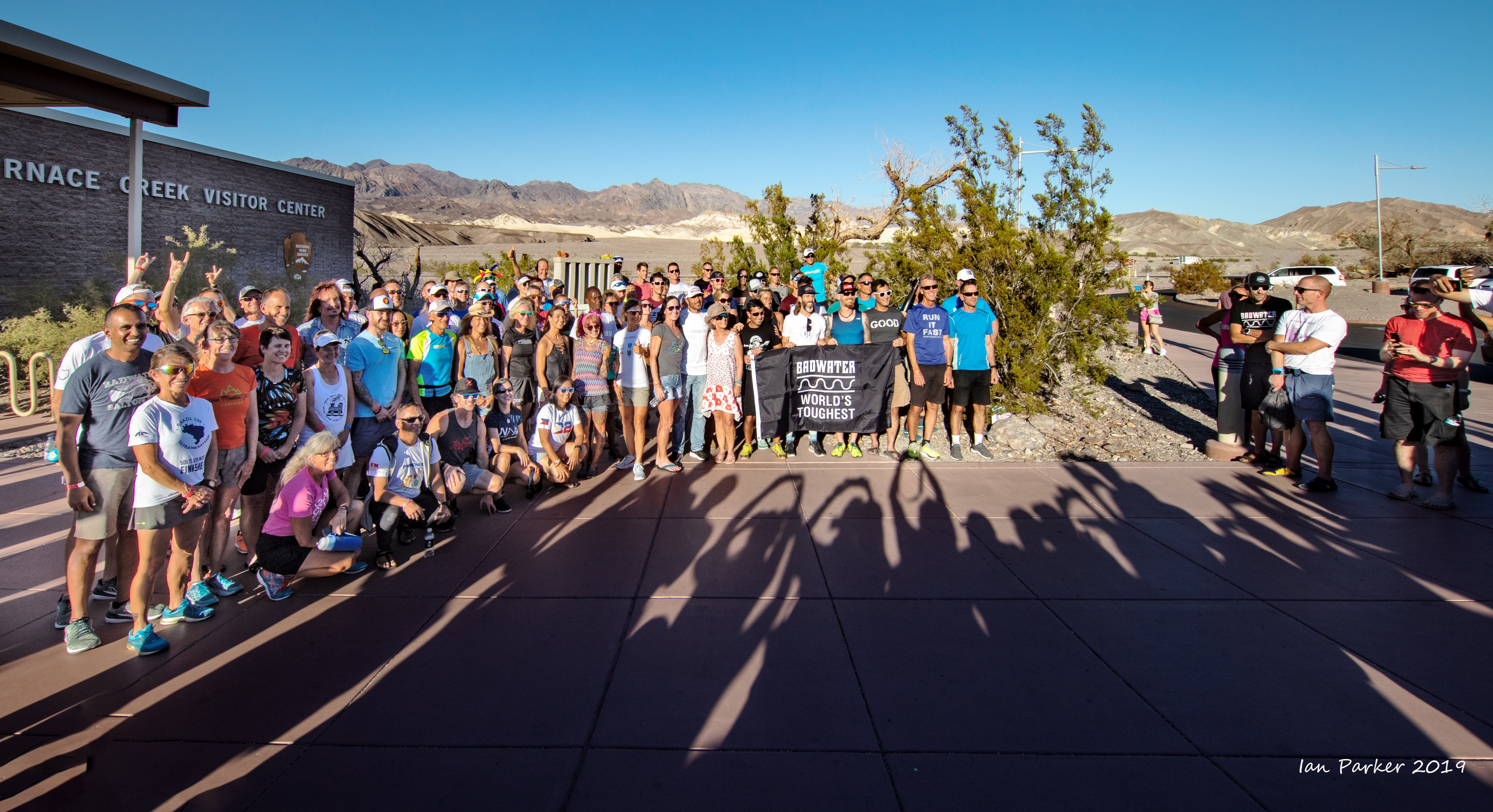

BADWATER 2019
July 13-17 : Badwater Ultramarathon

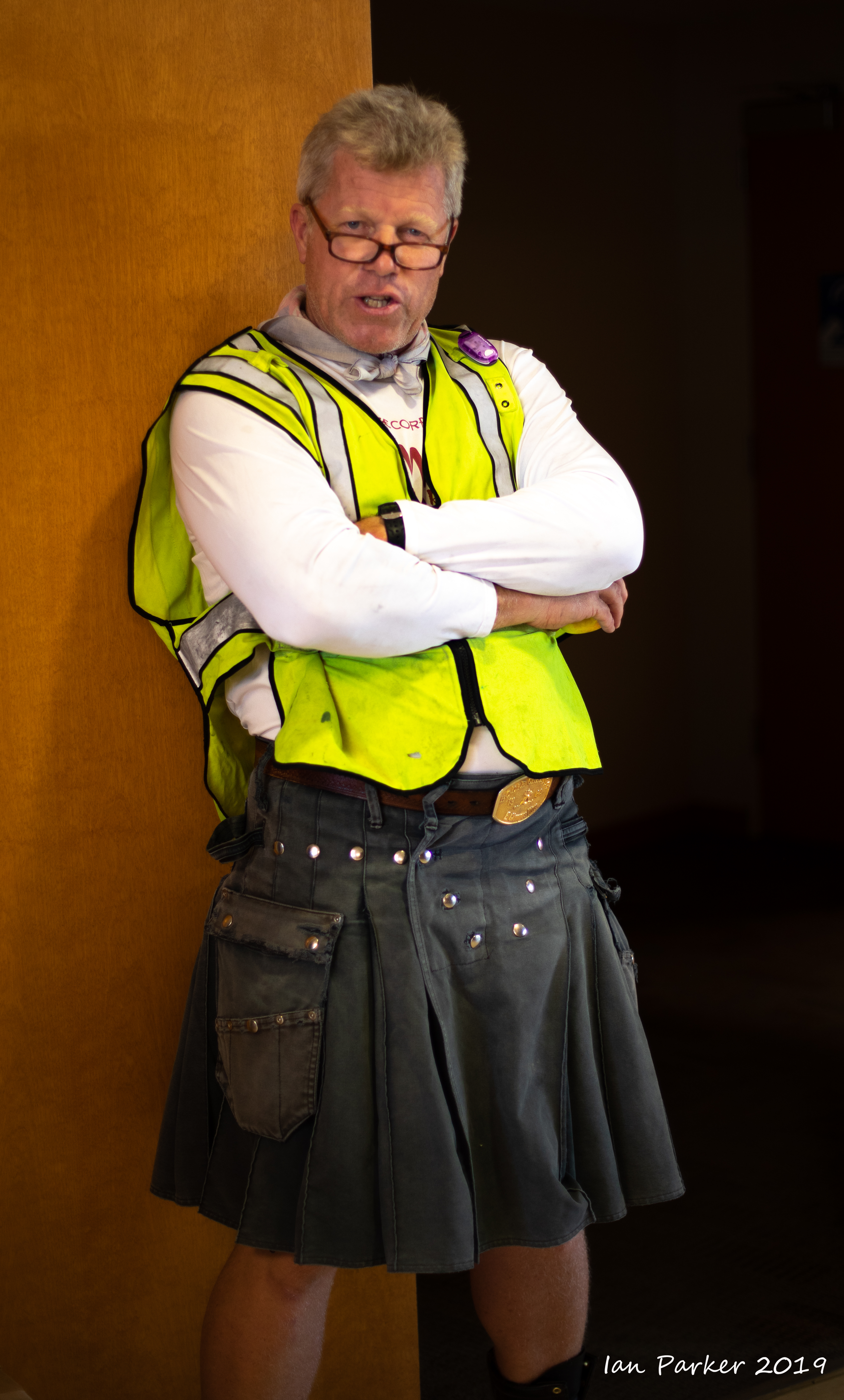
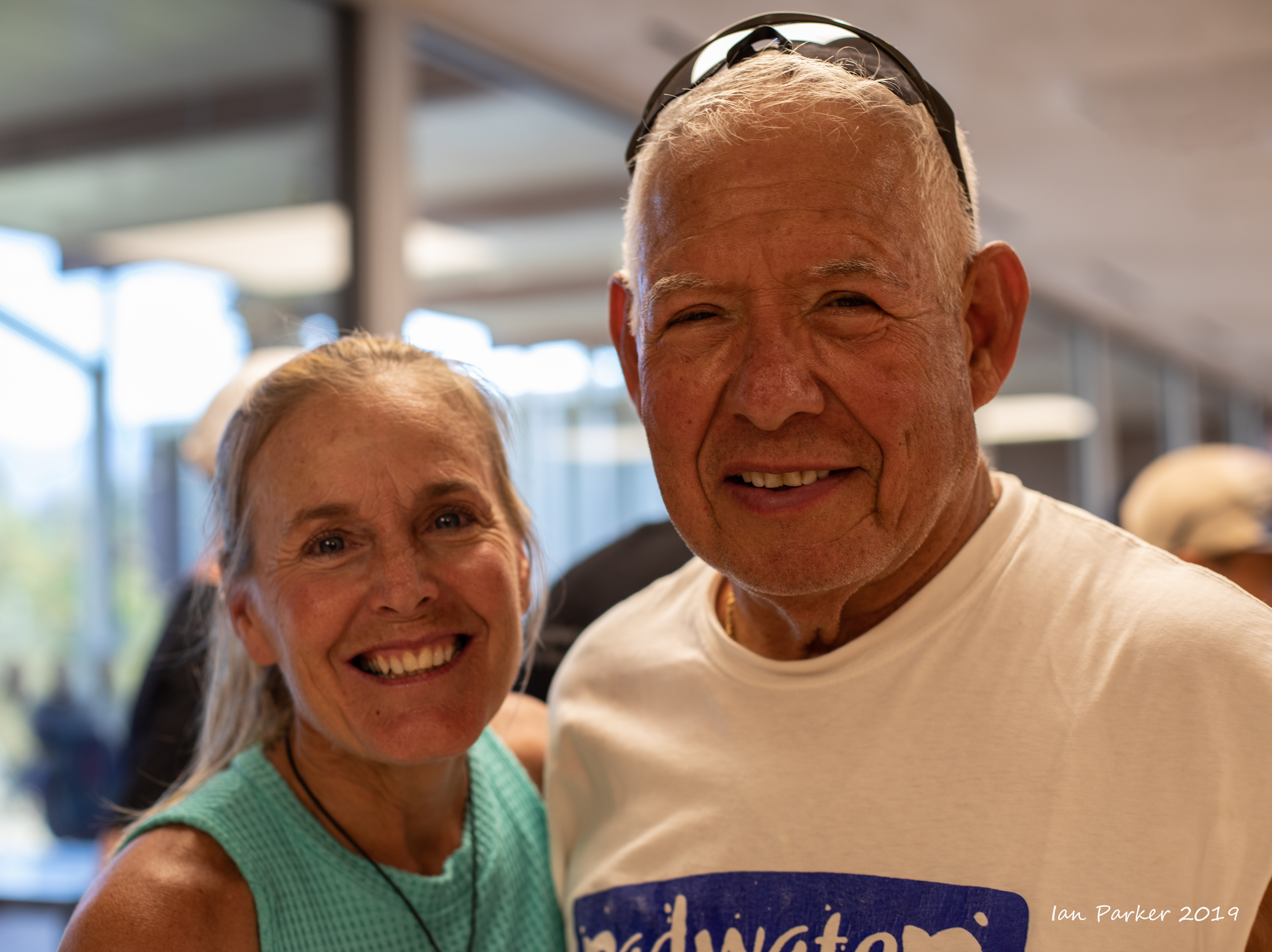
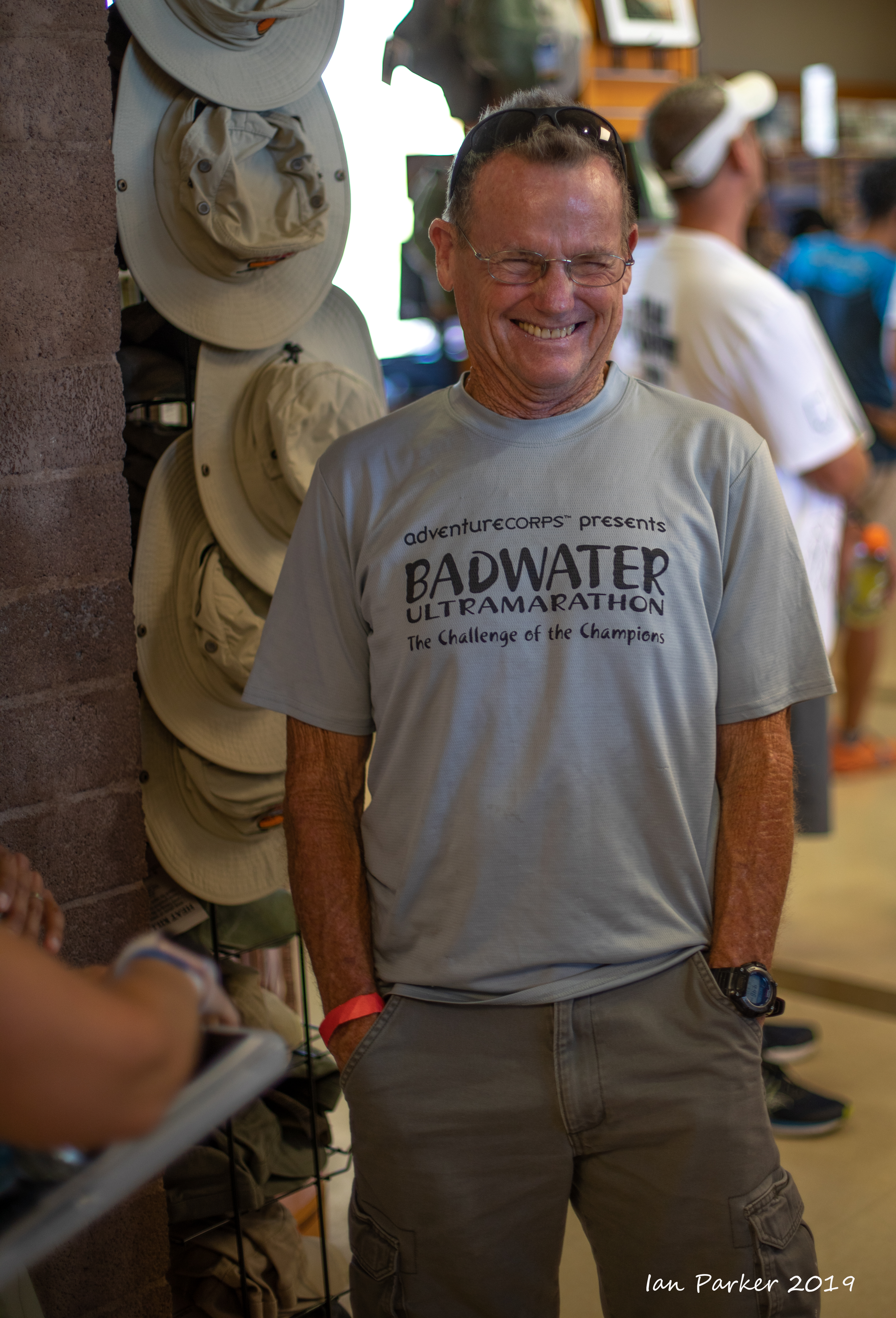
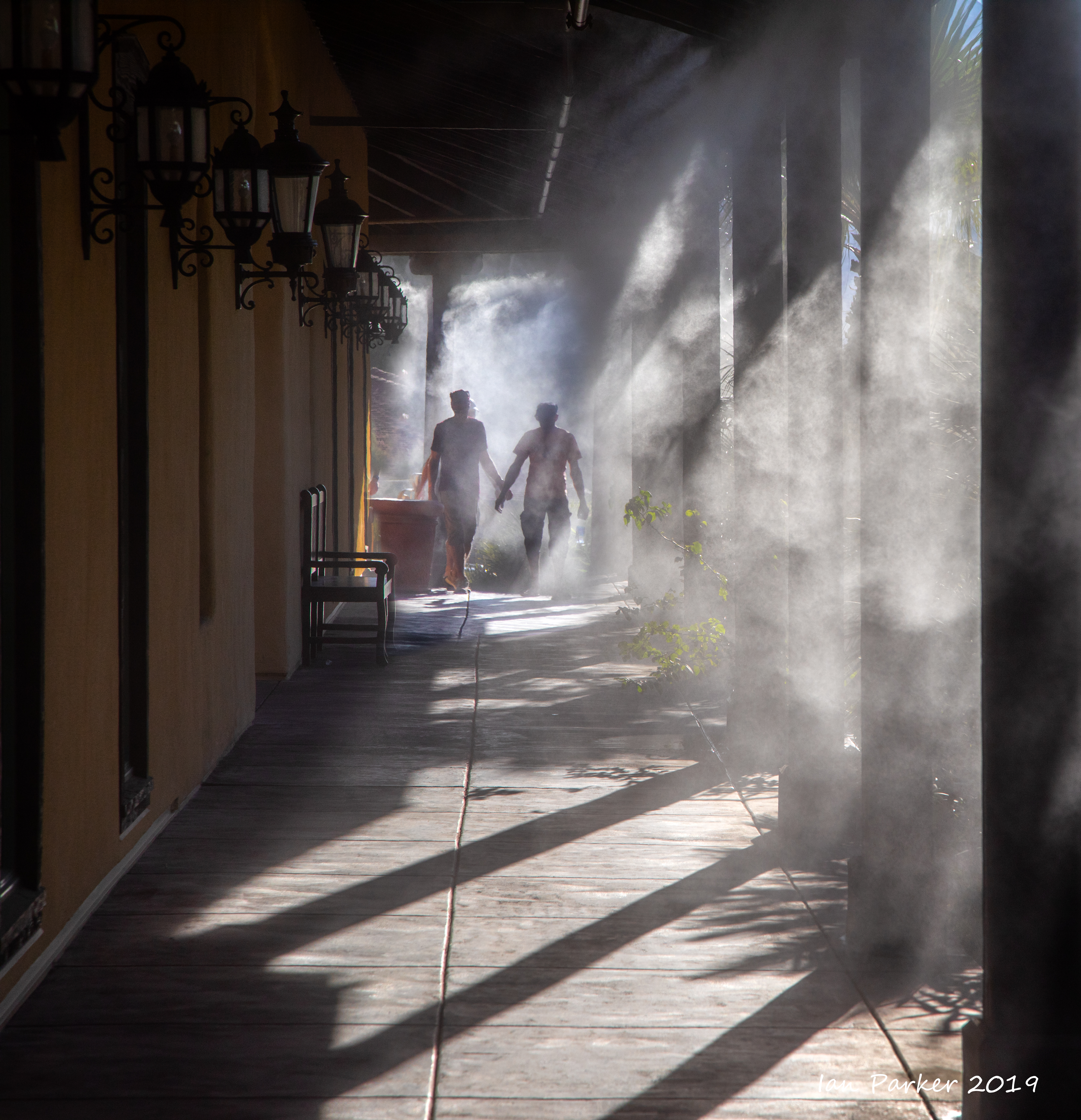
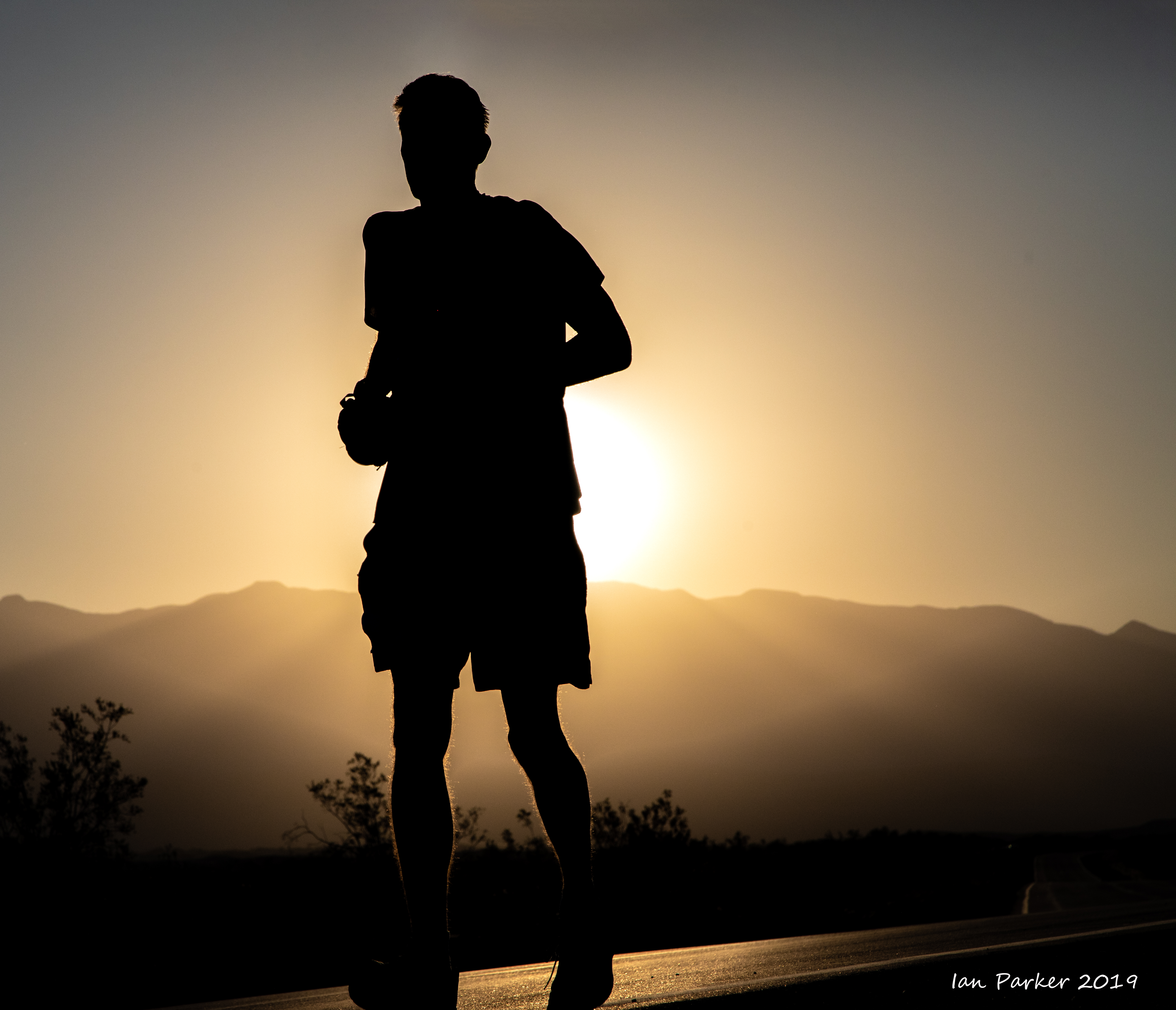
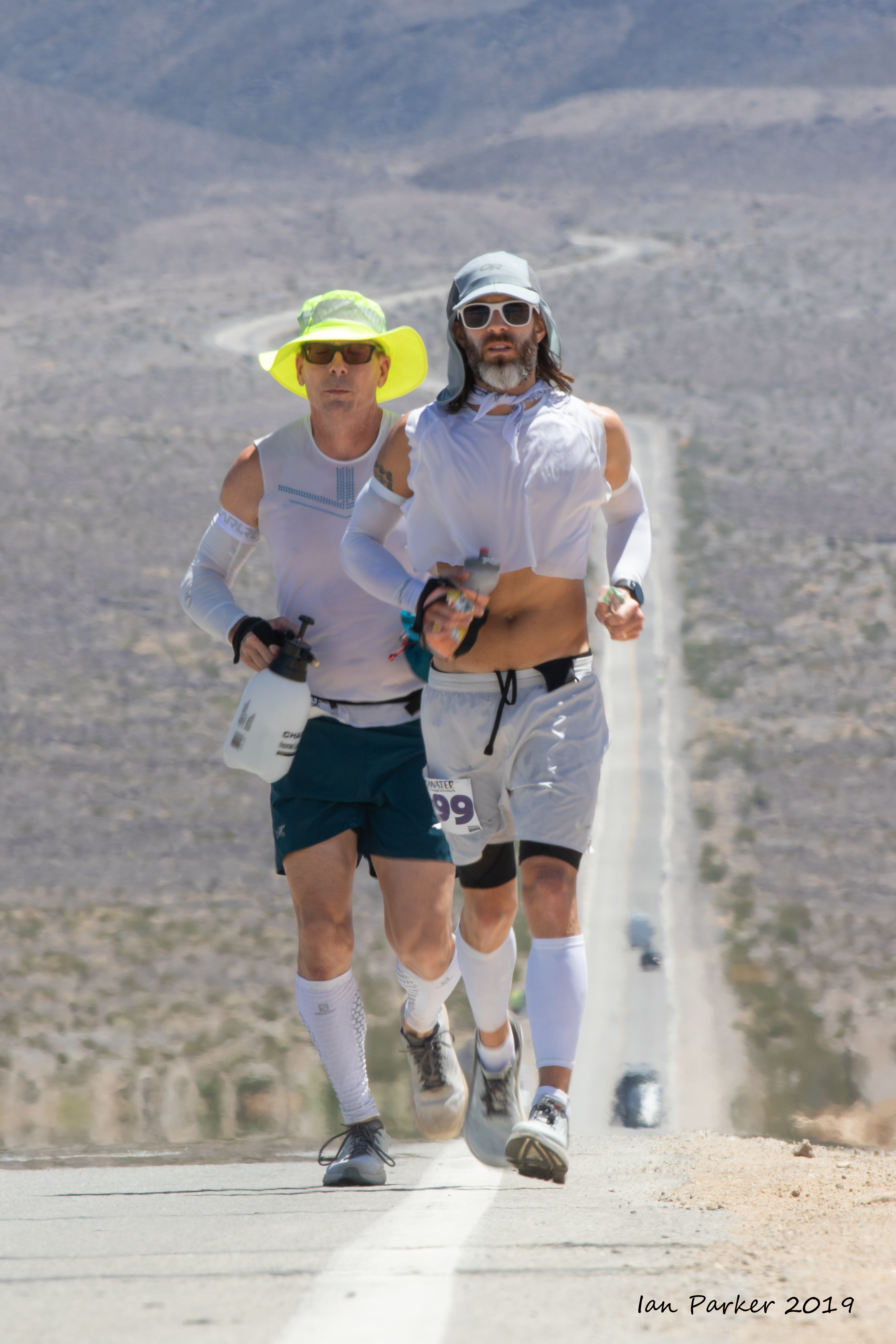
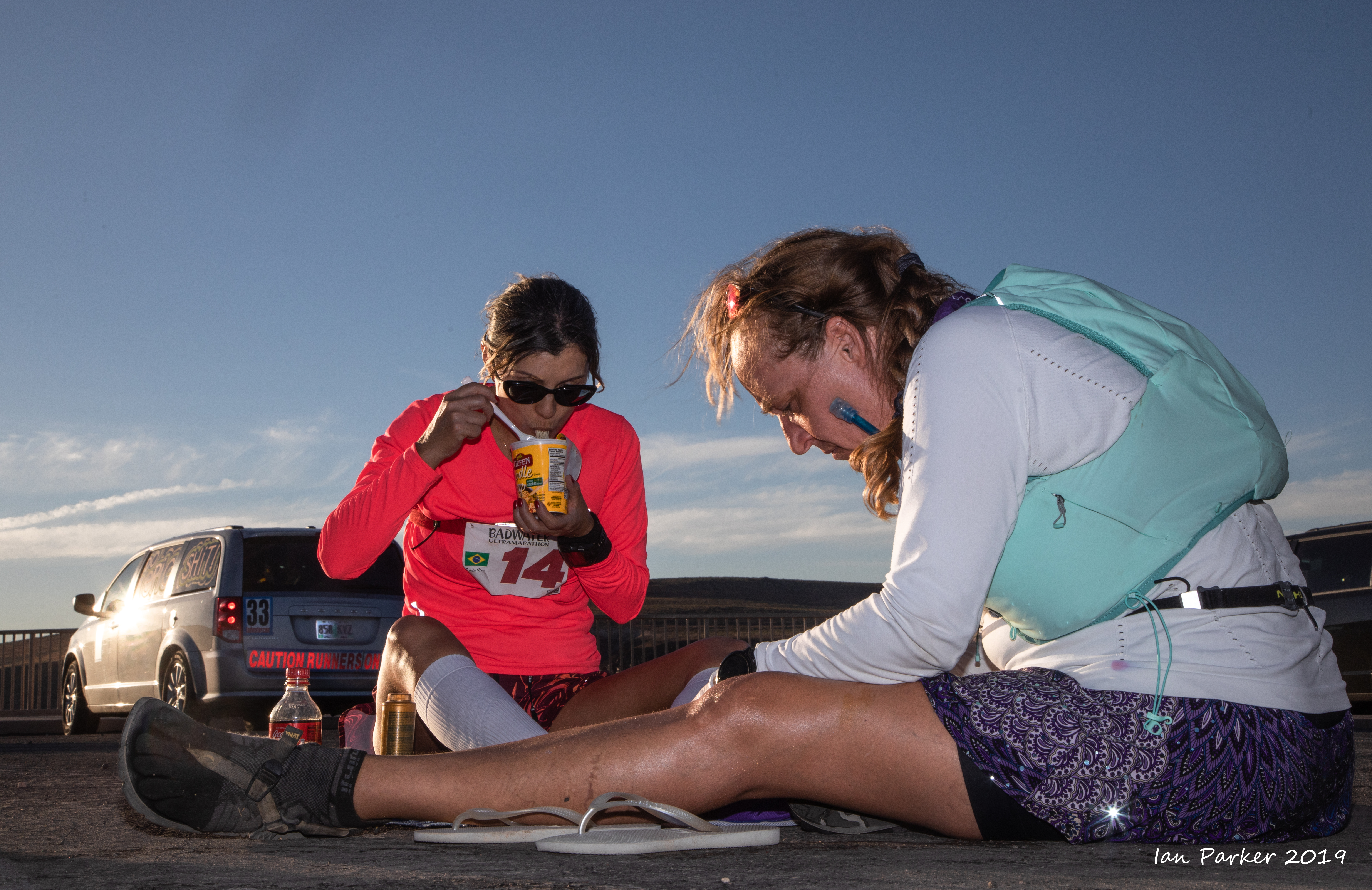
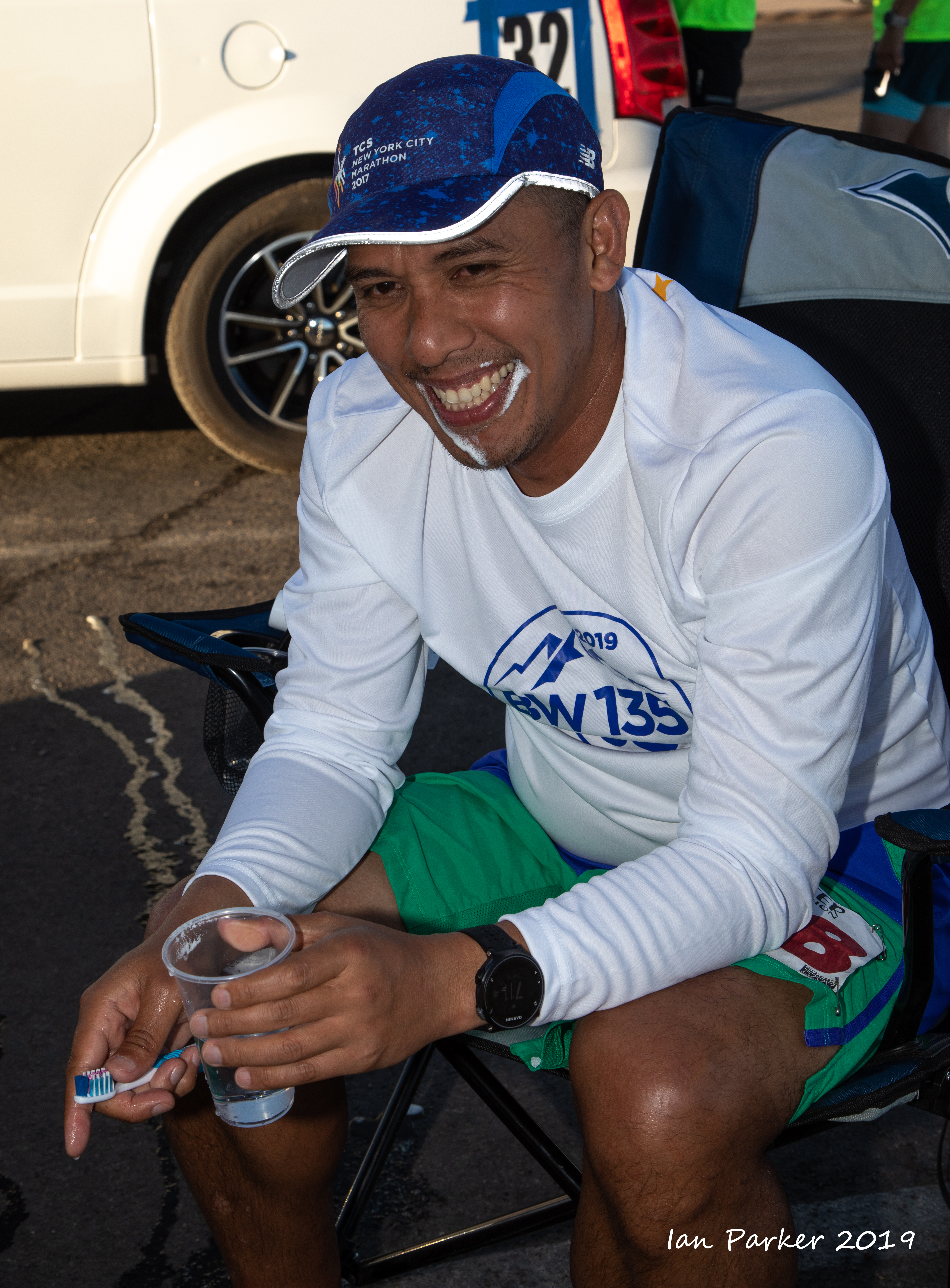
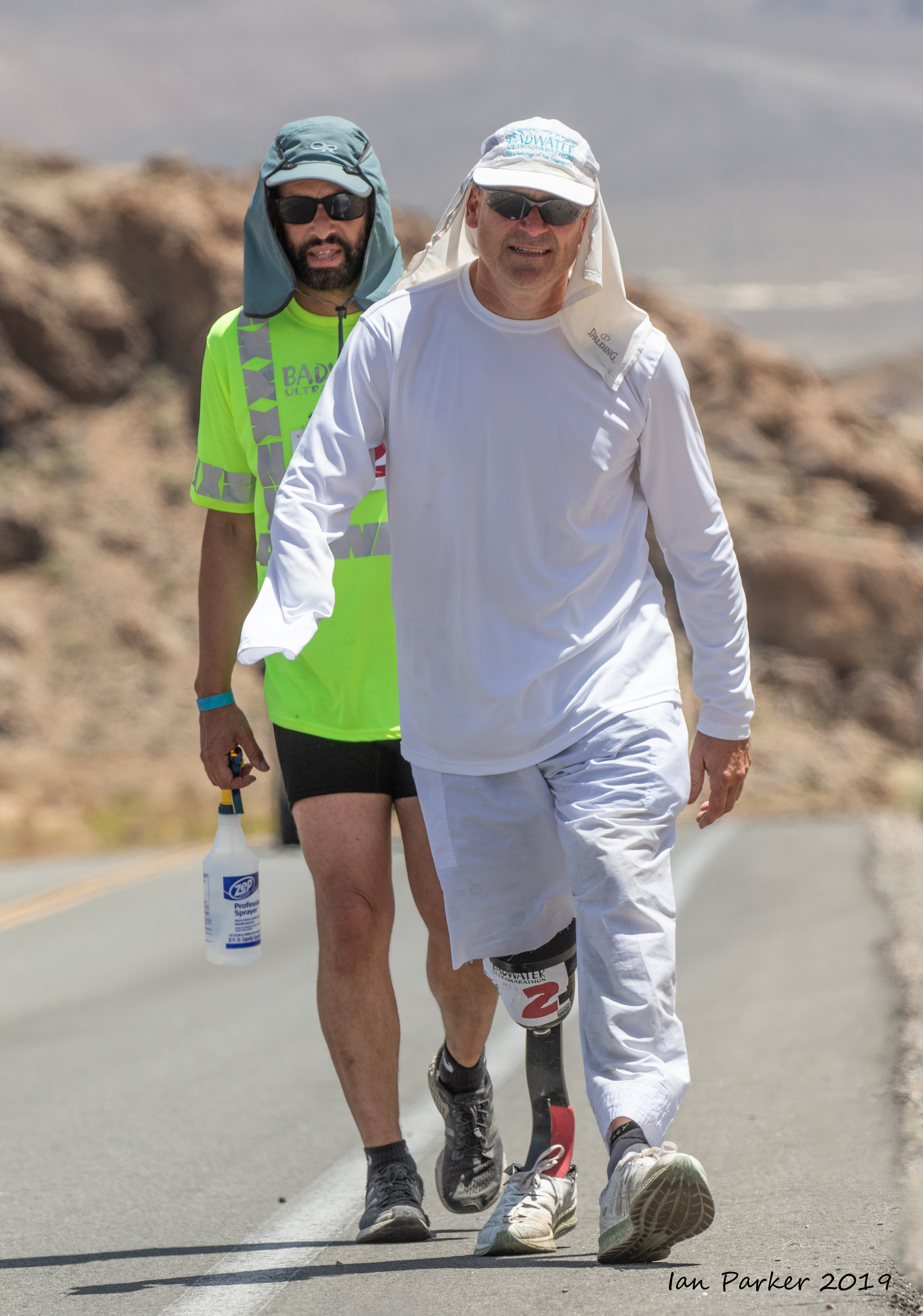
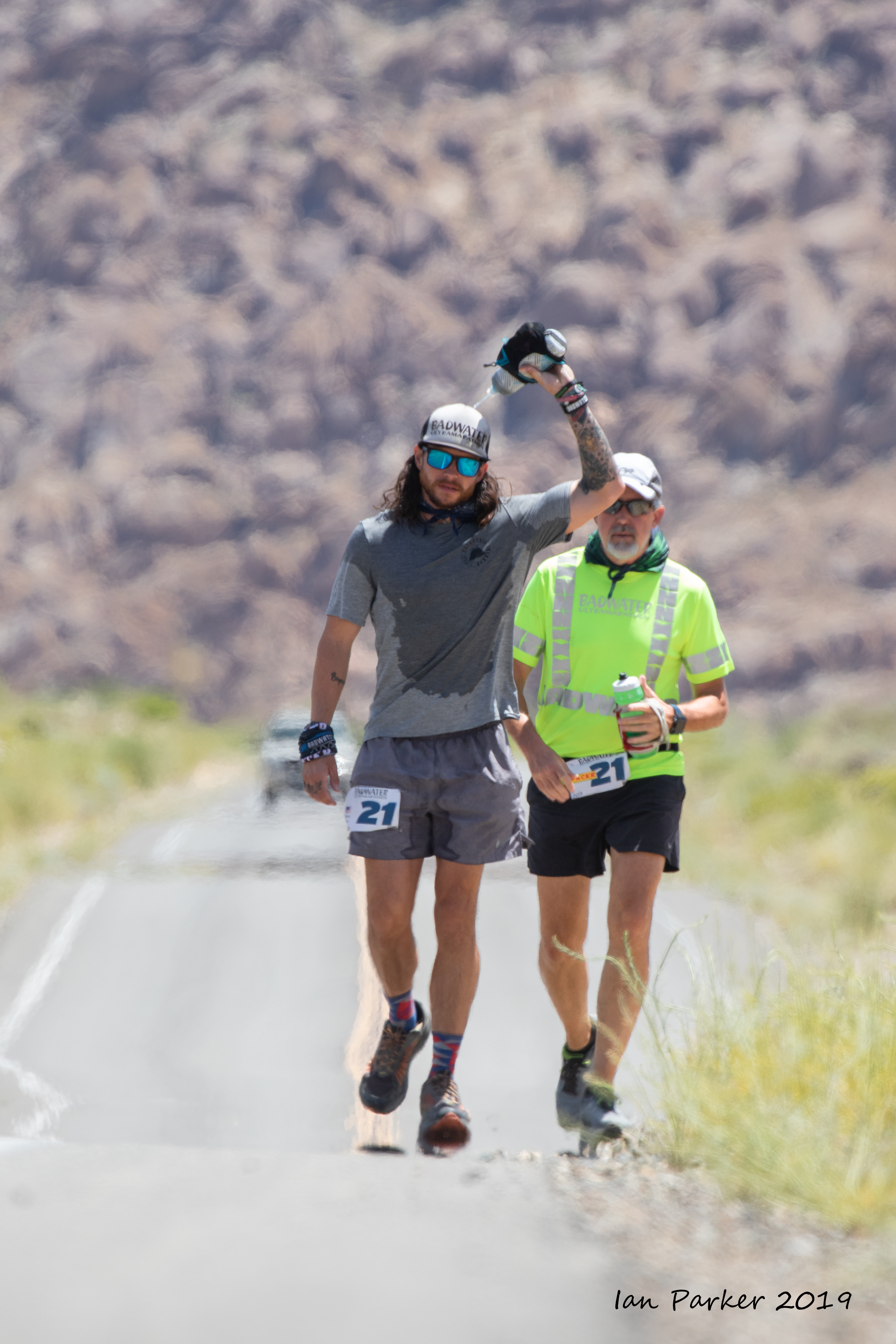
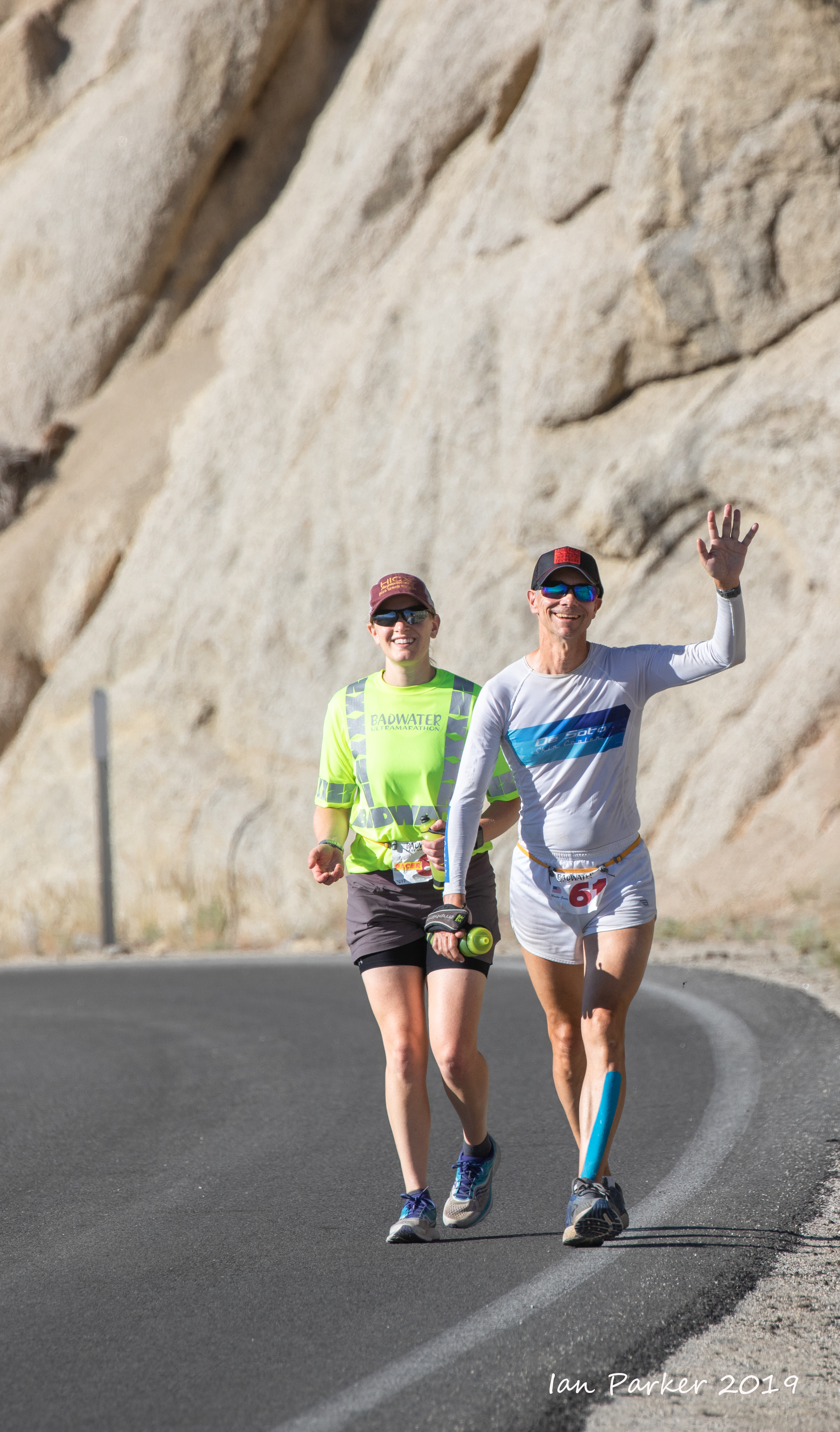
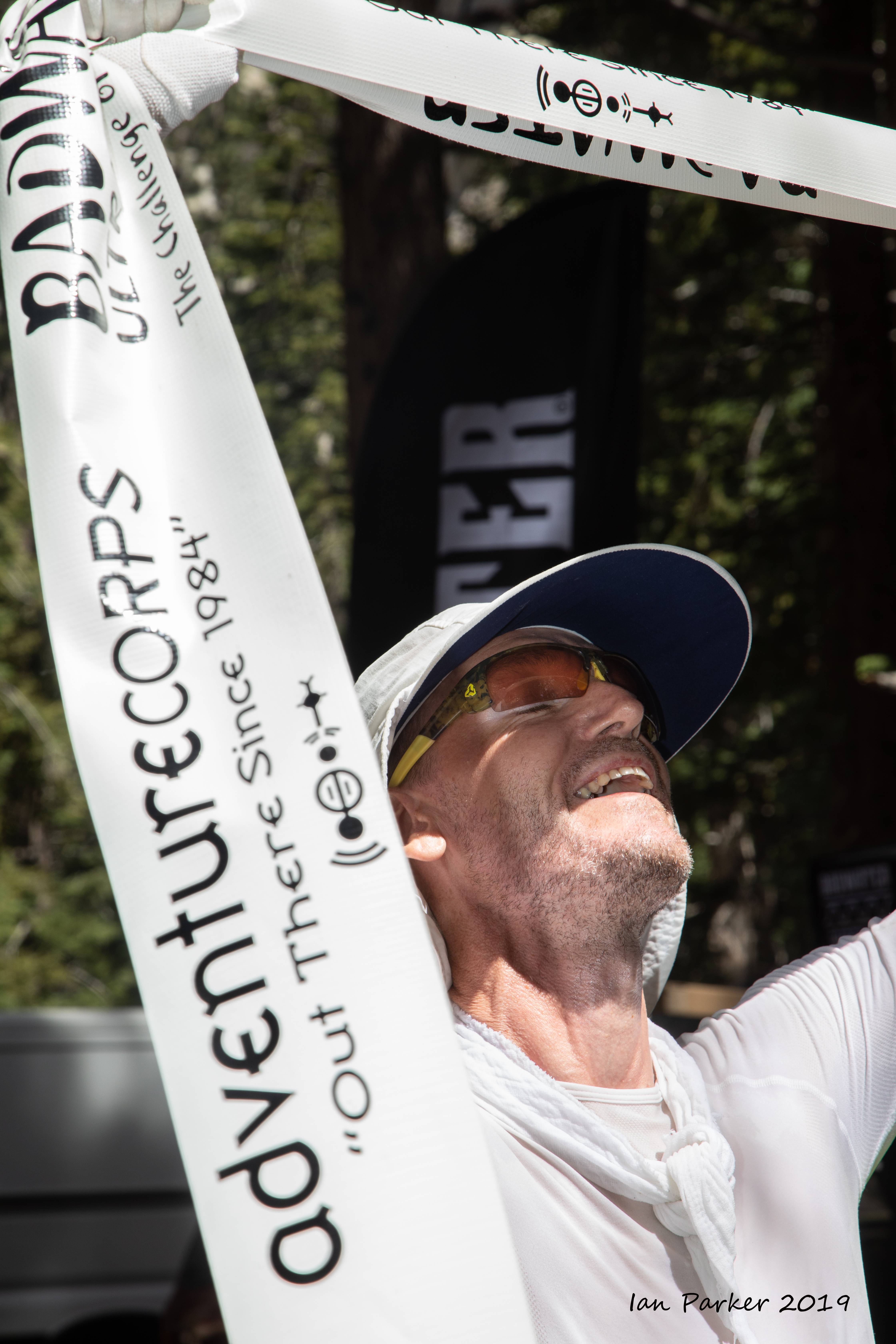
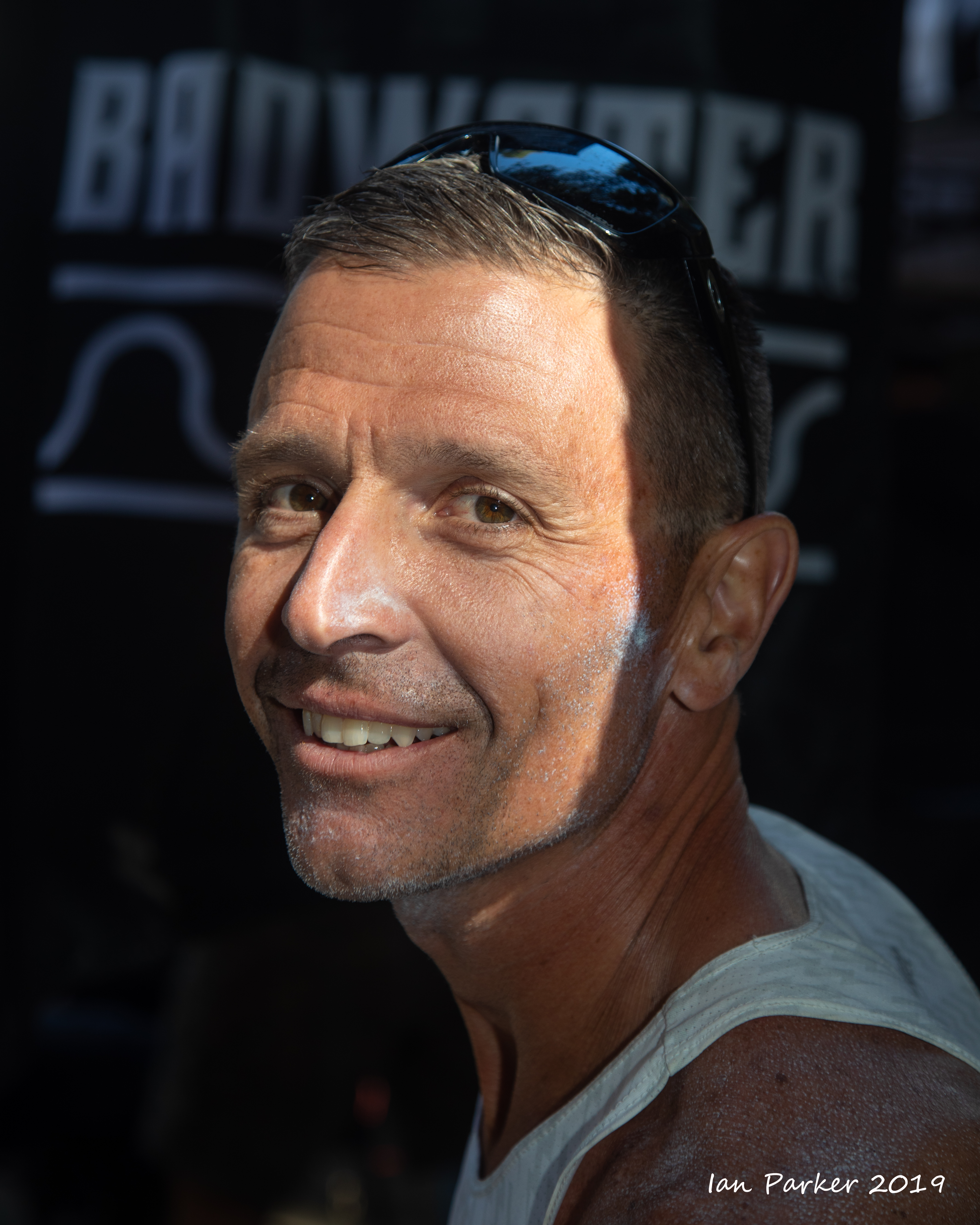
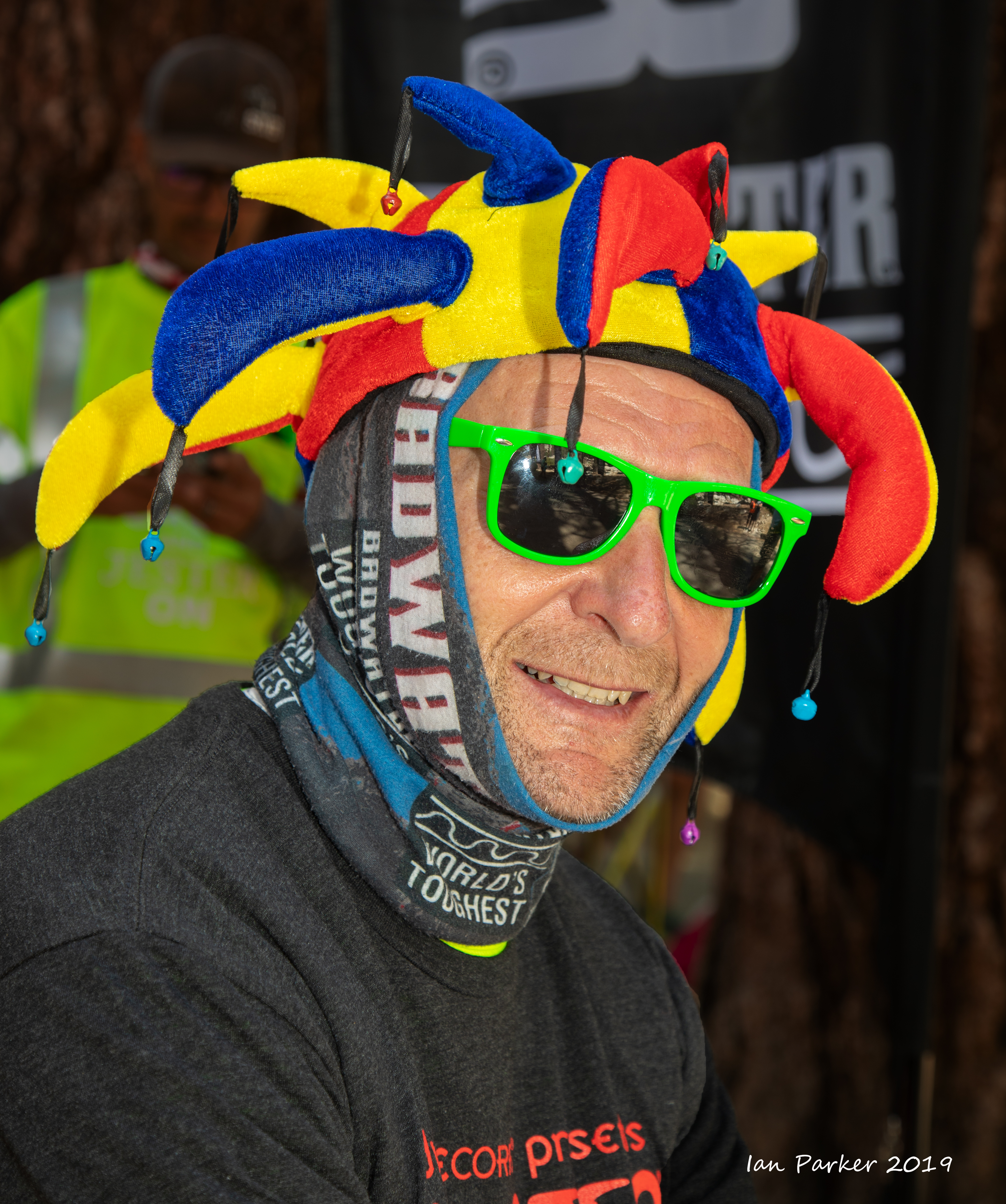
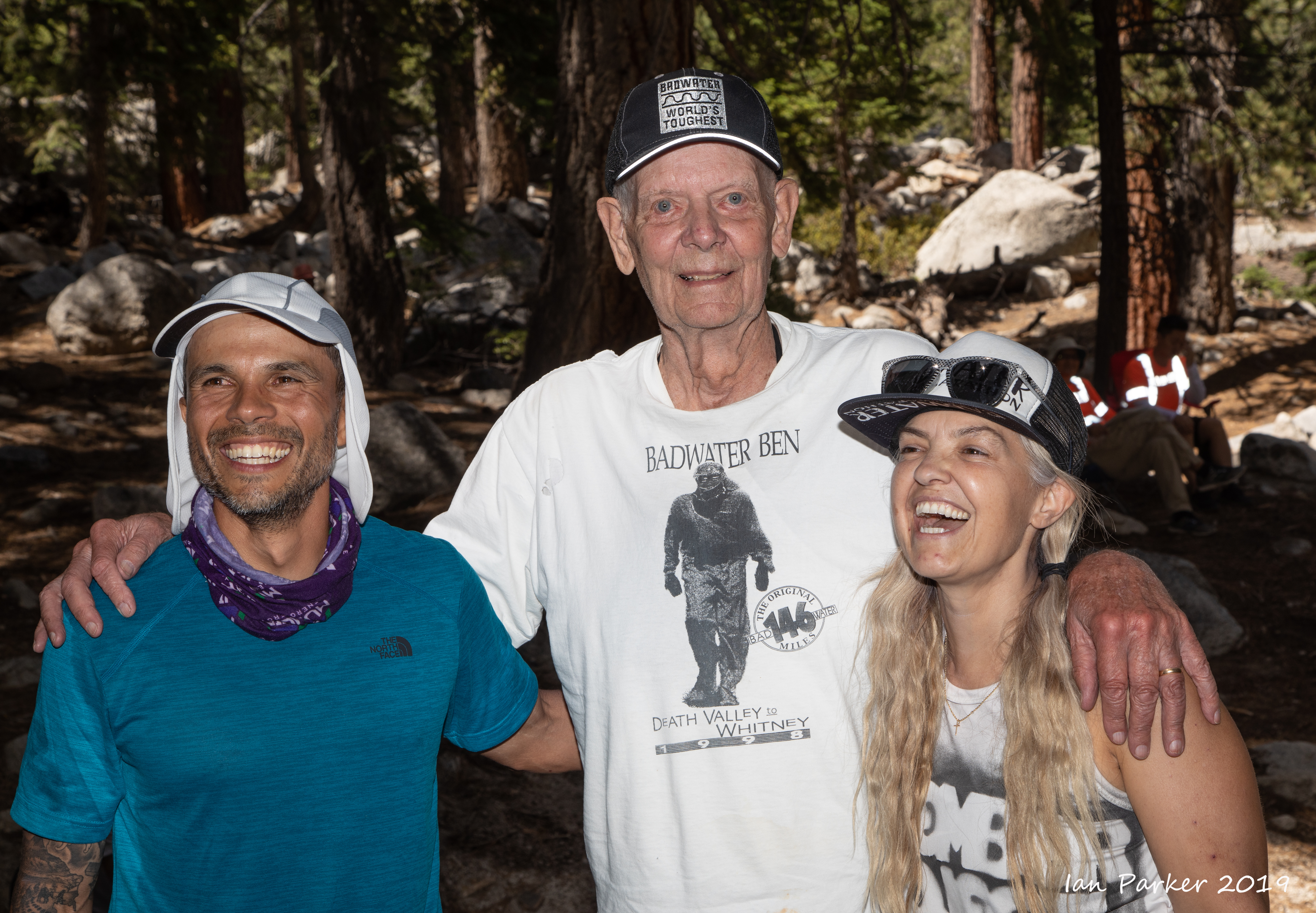
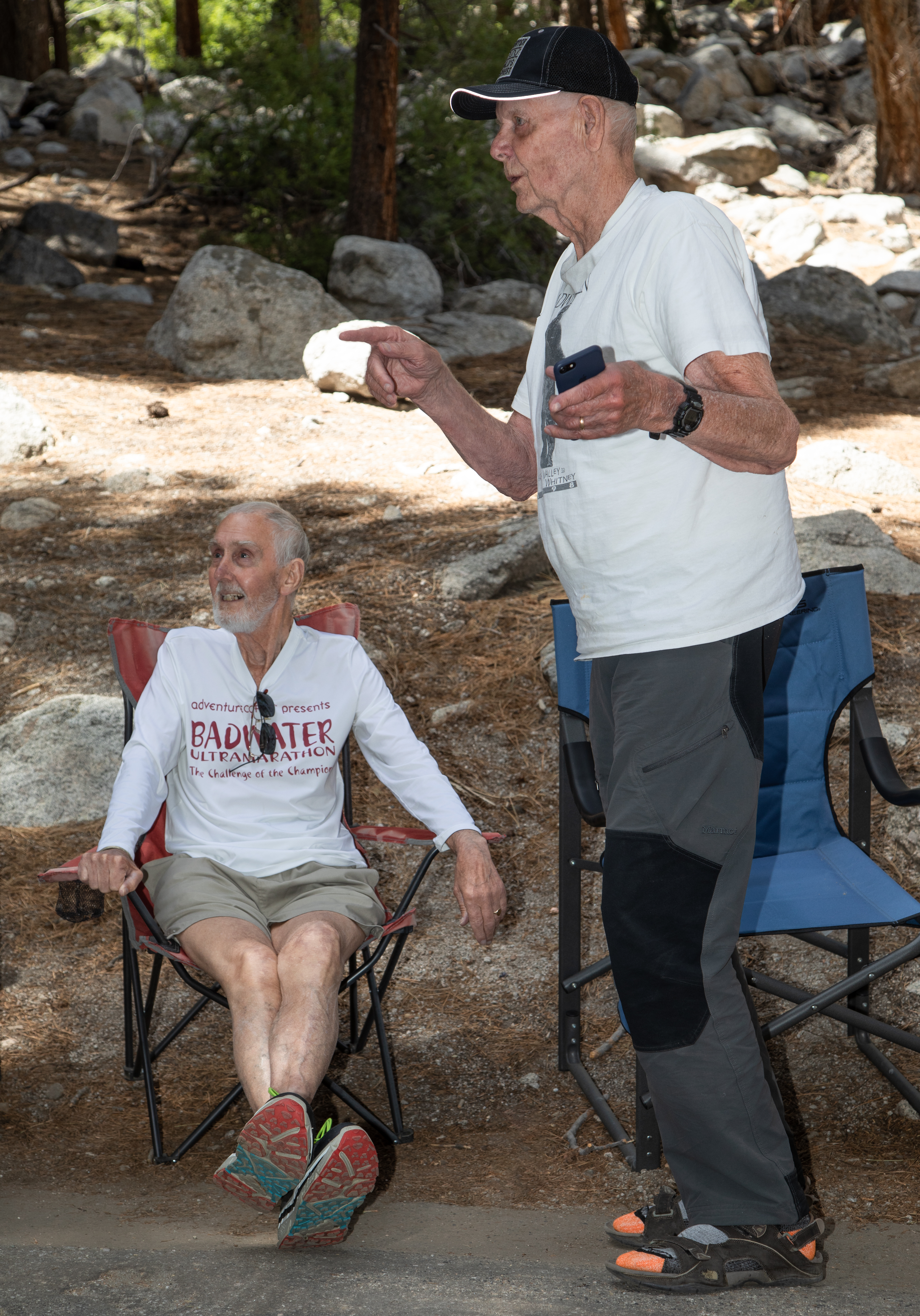
This was my 15th year at the Badwater Ultramarathon, the "World's toughest footrace"; eleven years as a runner or pacer, and four helping on the race staff and as a photographer. My approach the first year I came to photograph the race was from the perspective of a landscape photographer, aiming to place the runners in context of the spectacular scenery of Death Valley and the Eastern Sierras. This year I shifted gears, and also took on the mindset of a 'street'/portrait photographer, concentrating on the runners and their support crews. Badwater offers a photographic challenge of capturing the emotions of a group of very special people pushing themselves to the limit in an extreme environment. Moreover, the runners and their support crews are friendly, like having their pictures taken, and in any case have all signed waivers permitting the taking and publishing of photos!

The images below are a selection from many hundreds of shots. Click HERE for links to to numerous other photos from the 2019 Badwater Ultramarathon.


I drove out to Death Valley on the Saturday evening (July 13), and camped out in the higher, cooler mountains for the night.


The pre-race meeting was held at Furnace Creek on the Sunday afternoon.
The thermometer at the visitor center showed 124 F.


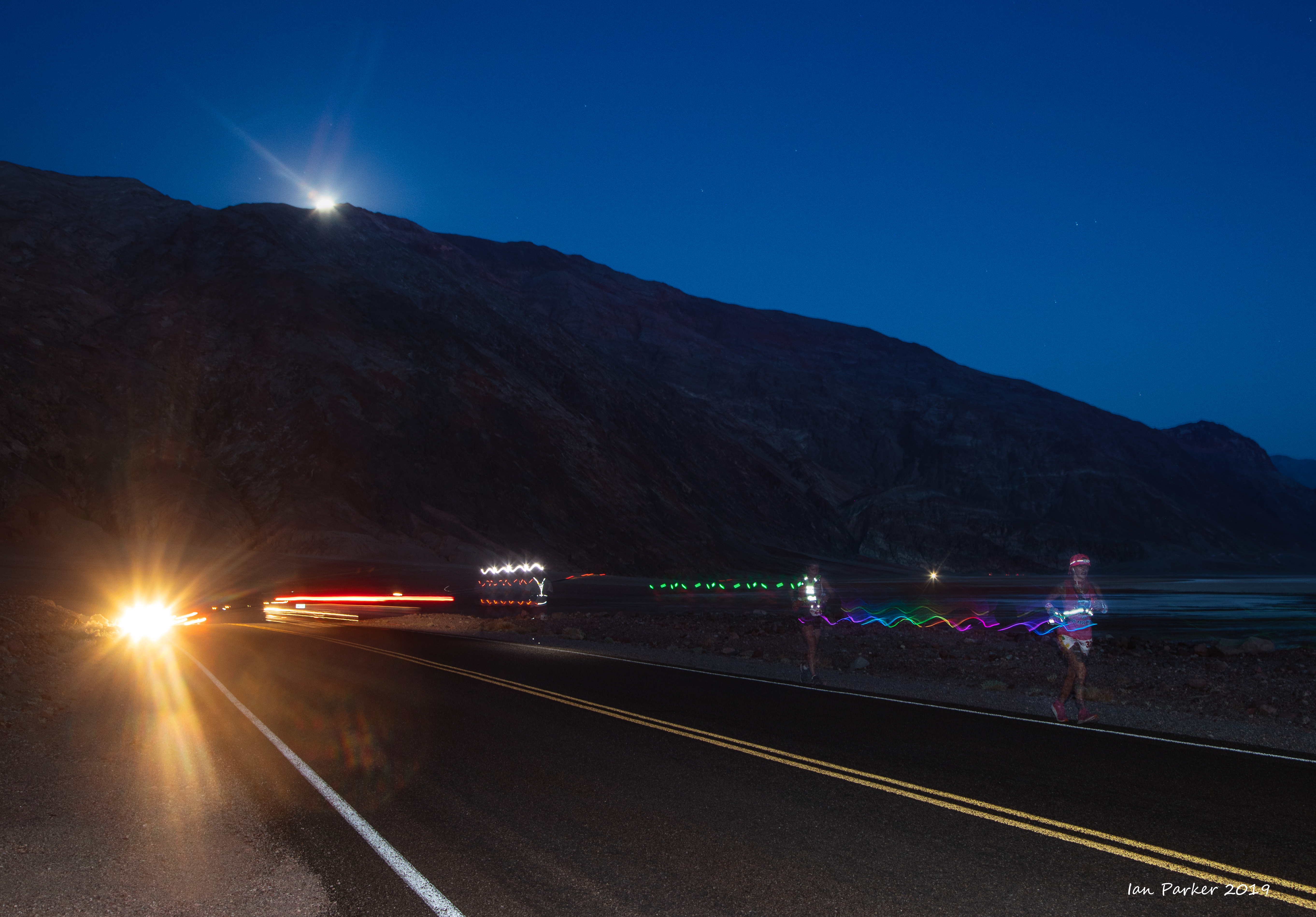
The race started on the Monday evening, with three waves at 8:00, 9:30 and 11:00pm. For many years previously the race began in the morning - much better for photography as the intitial 40 mile stretch passes through the most spectacular scenery.


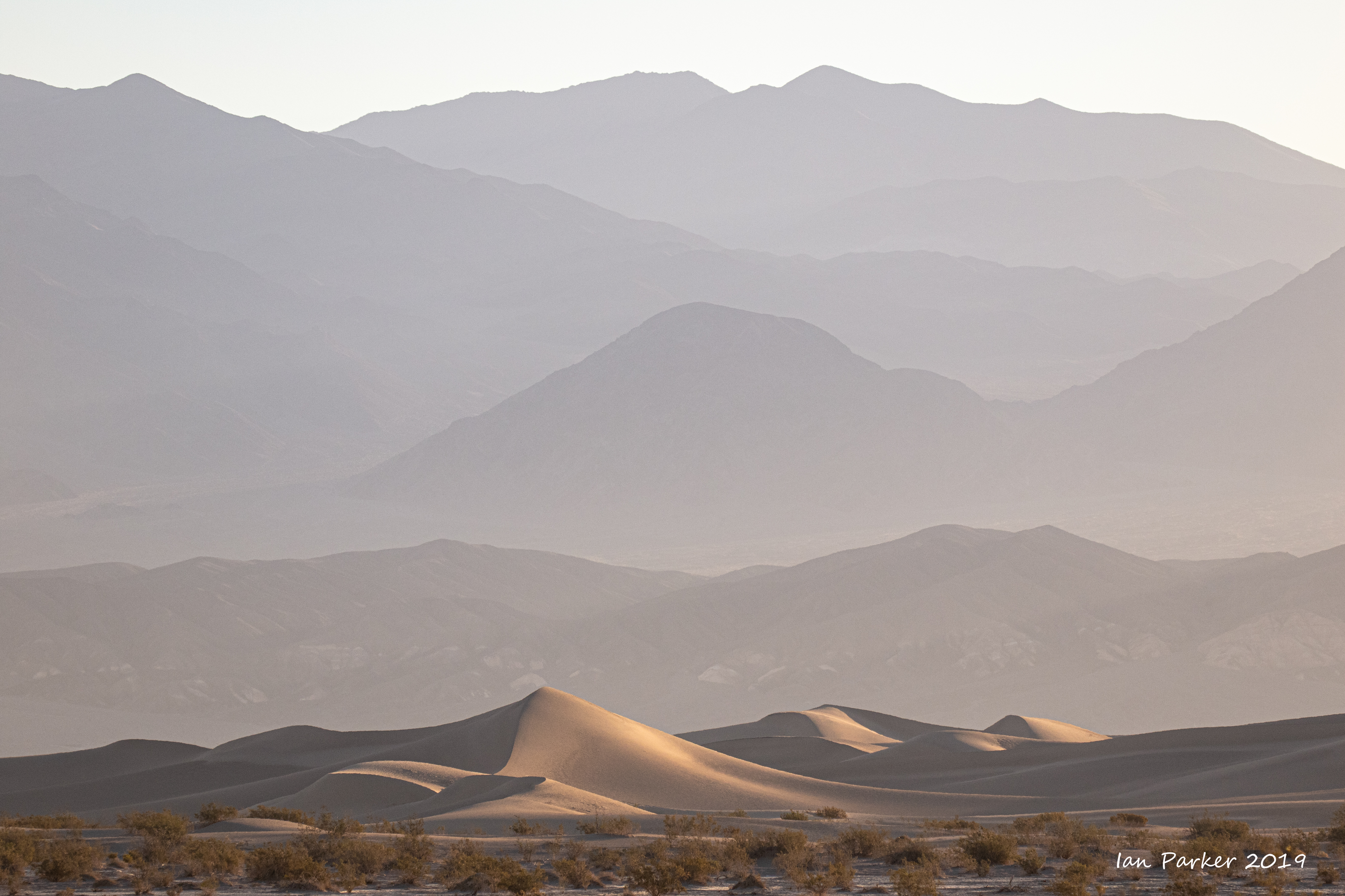
While the runners continued through the night I drove up to Chloride for a few hours sleep at a cooler 4000ft altitude, and caught up with them at daybreak near the sand dunes (Mile 40).


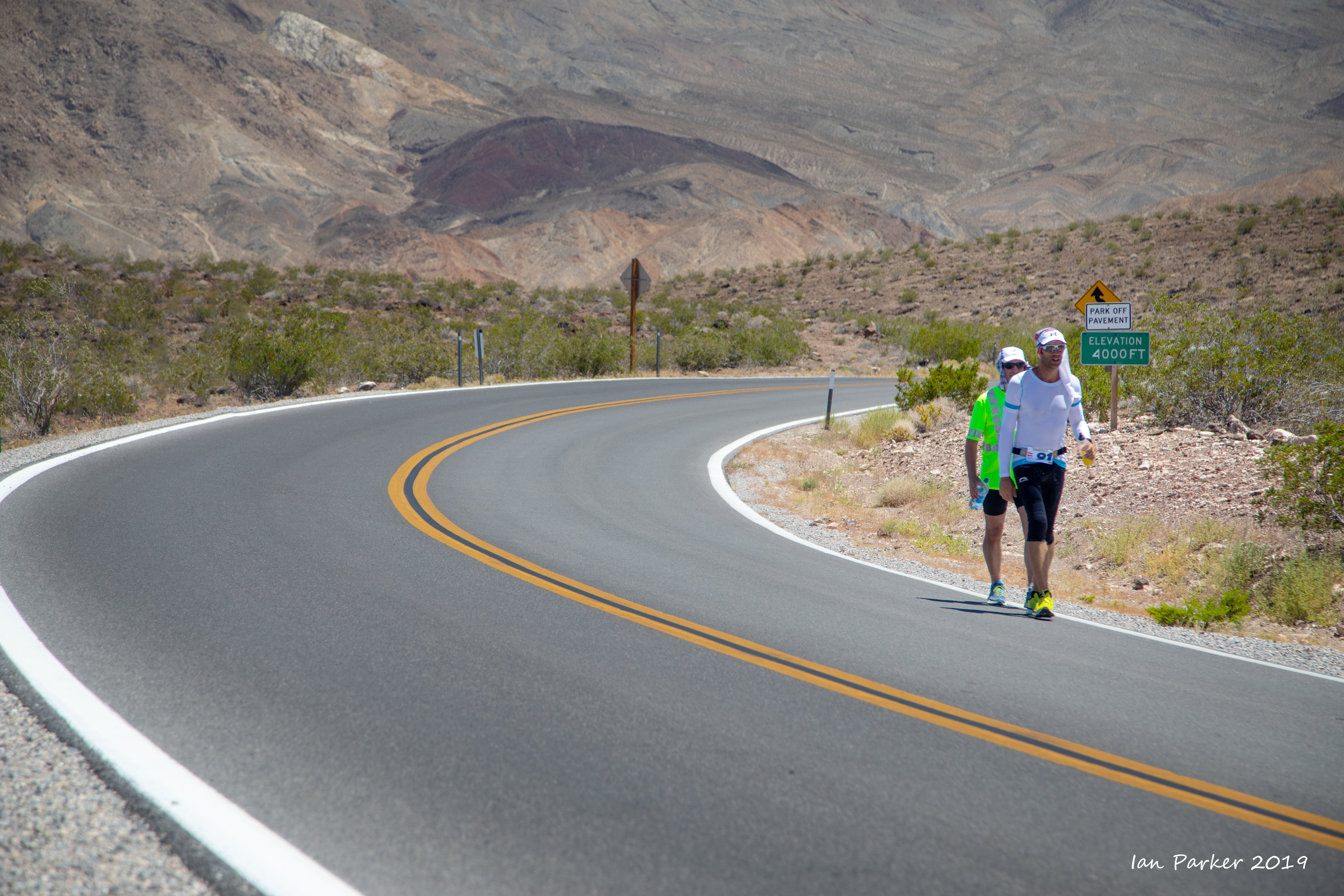
The thermometer at the Stovepipe Wells store read almost 100 F at dawn, with temperatures rising as the runners ascended Towne's Pass to make the first mandatory cut-off at the 2000ft level by 10 am Tuesday.


Rest stop at the "oasis", just above the 2000ft contour.


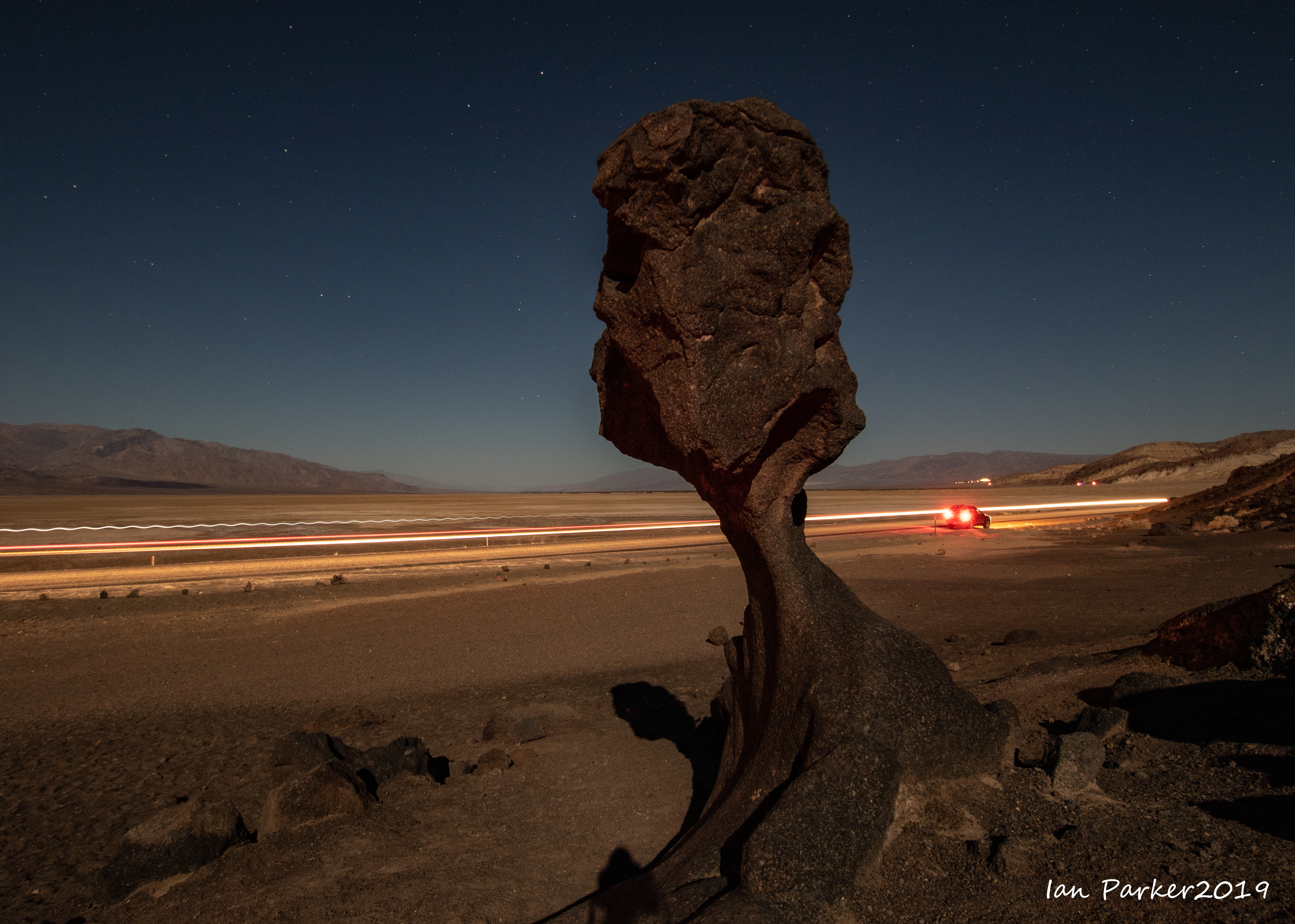
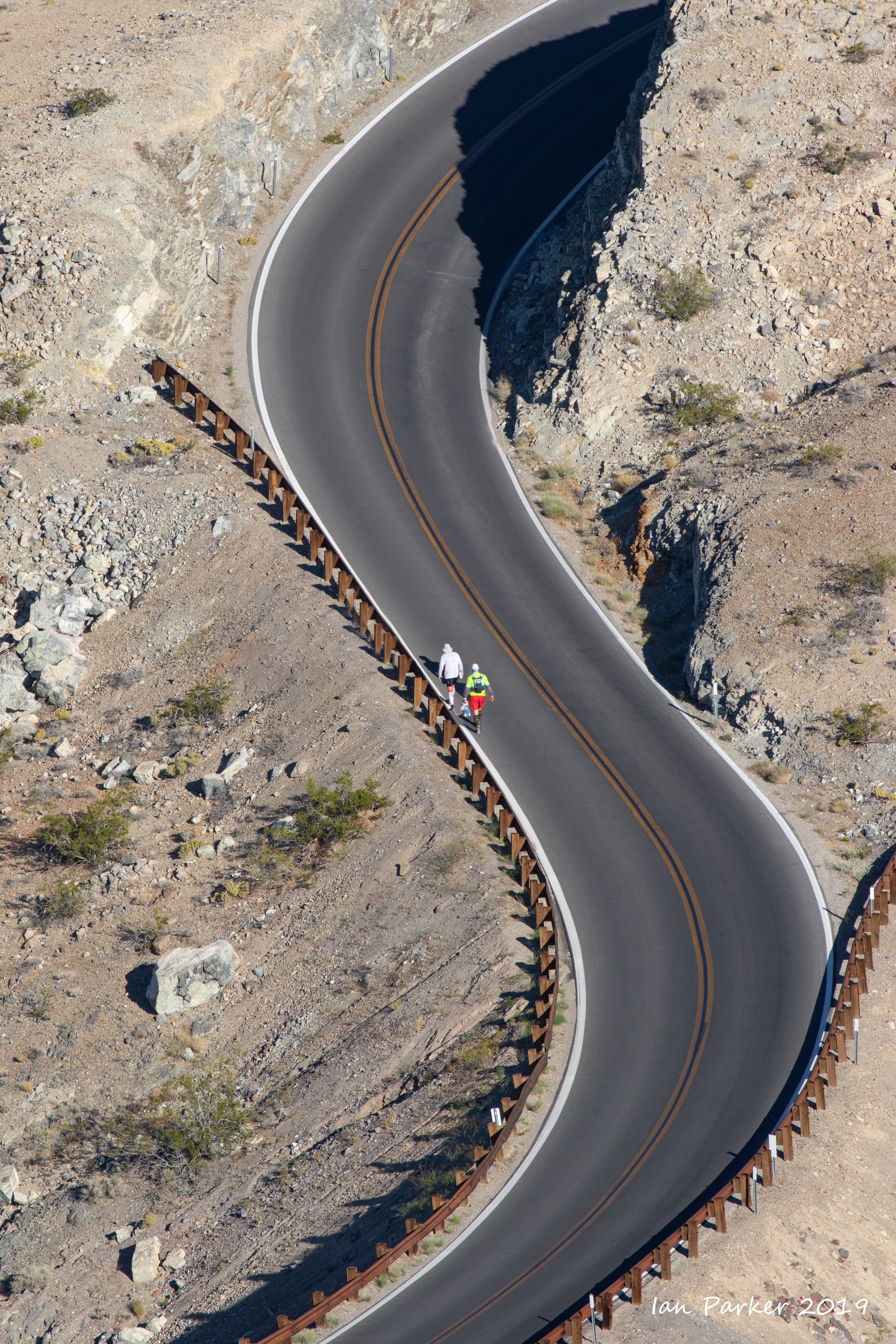
And onward, over Towne's Pass and down into the Panamint Valley


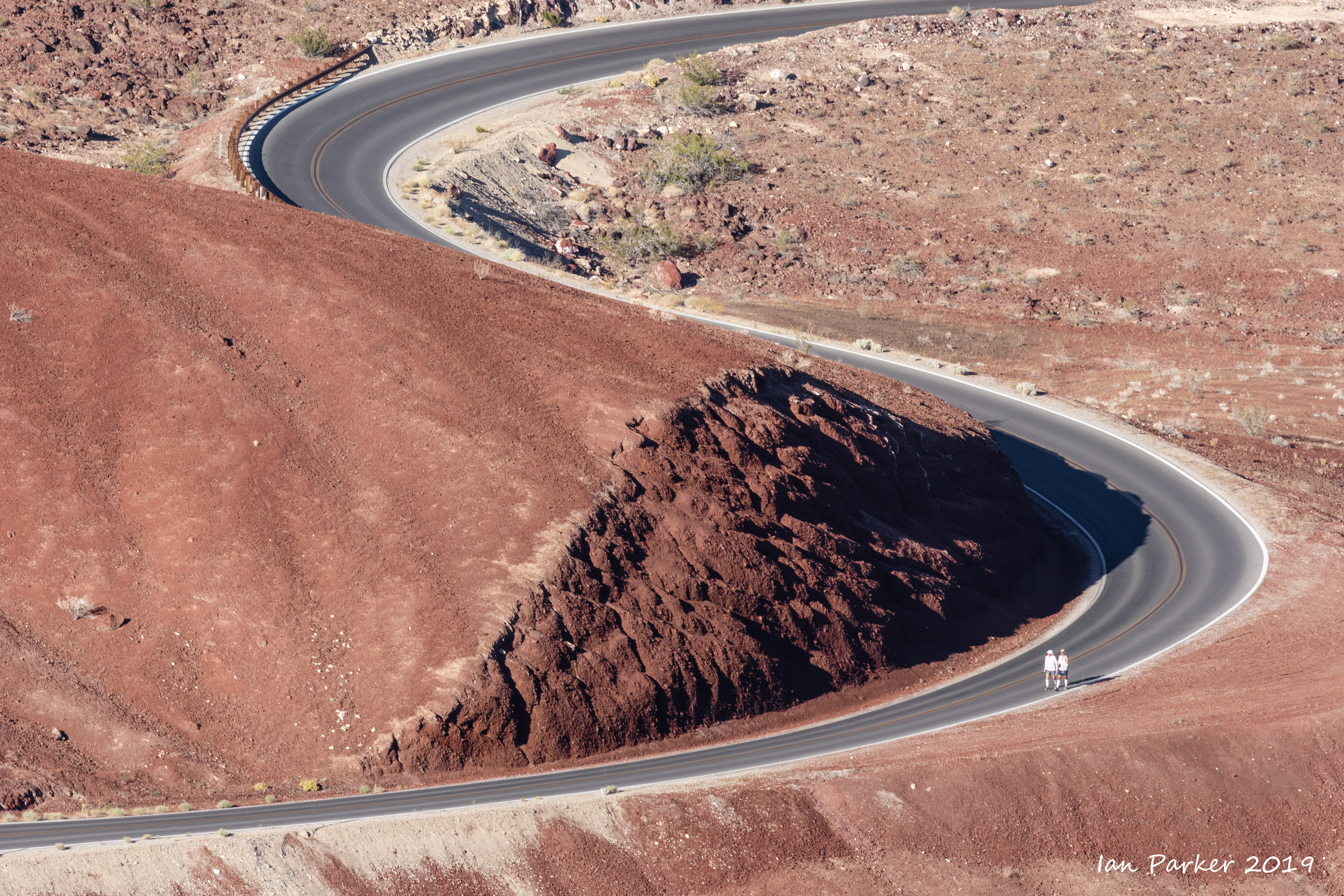
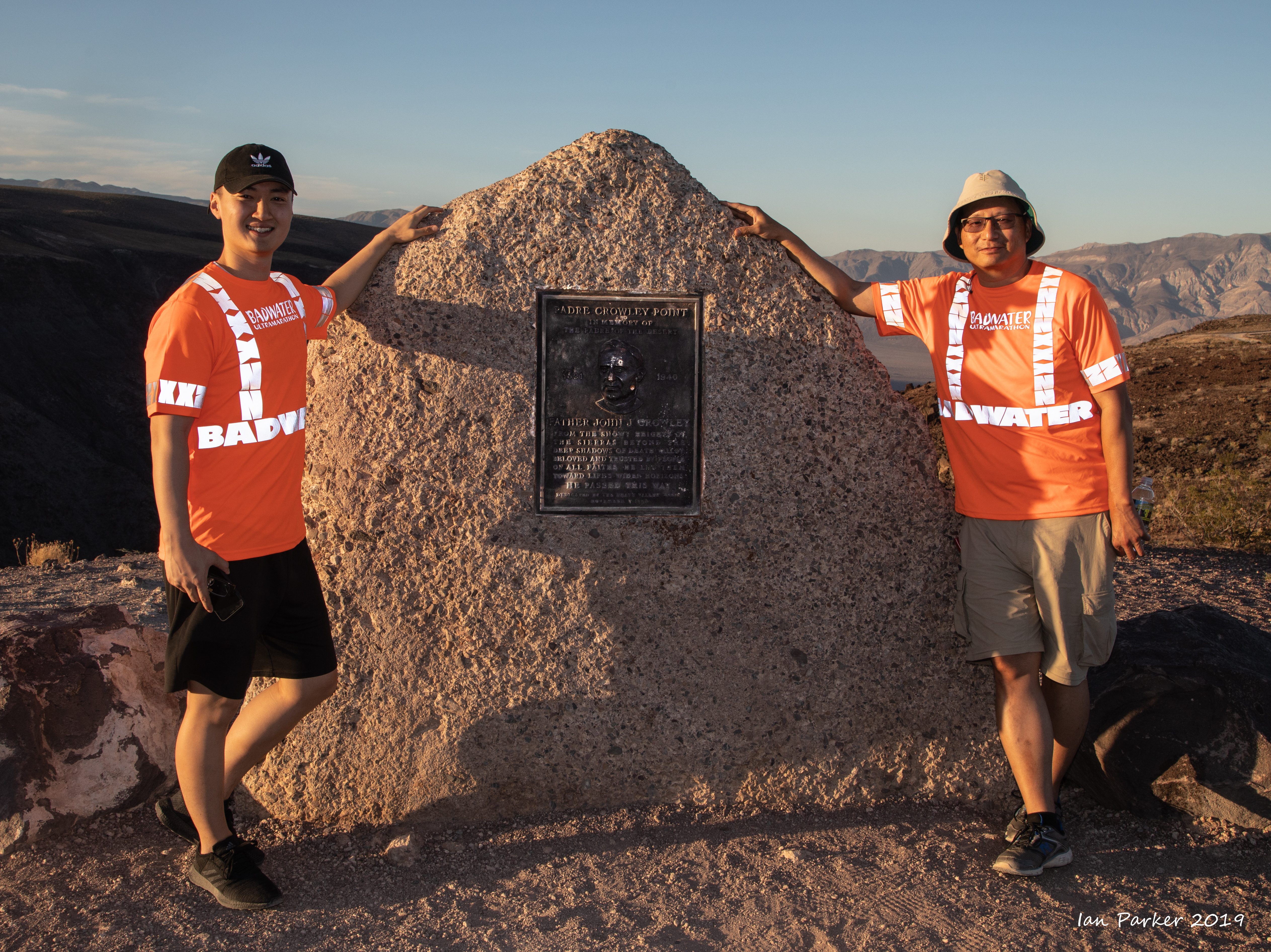
Crossing Panamint Valley and beginning the climb to Father Crowley's viewpoint


A rest stop at Father Crowley's Point (but still 1000 ft of ascent to the summit)


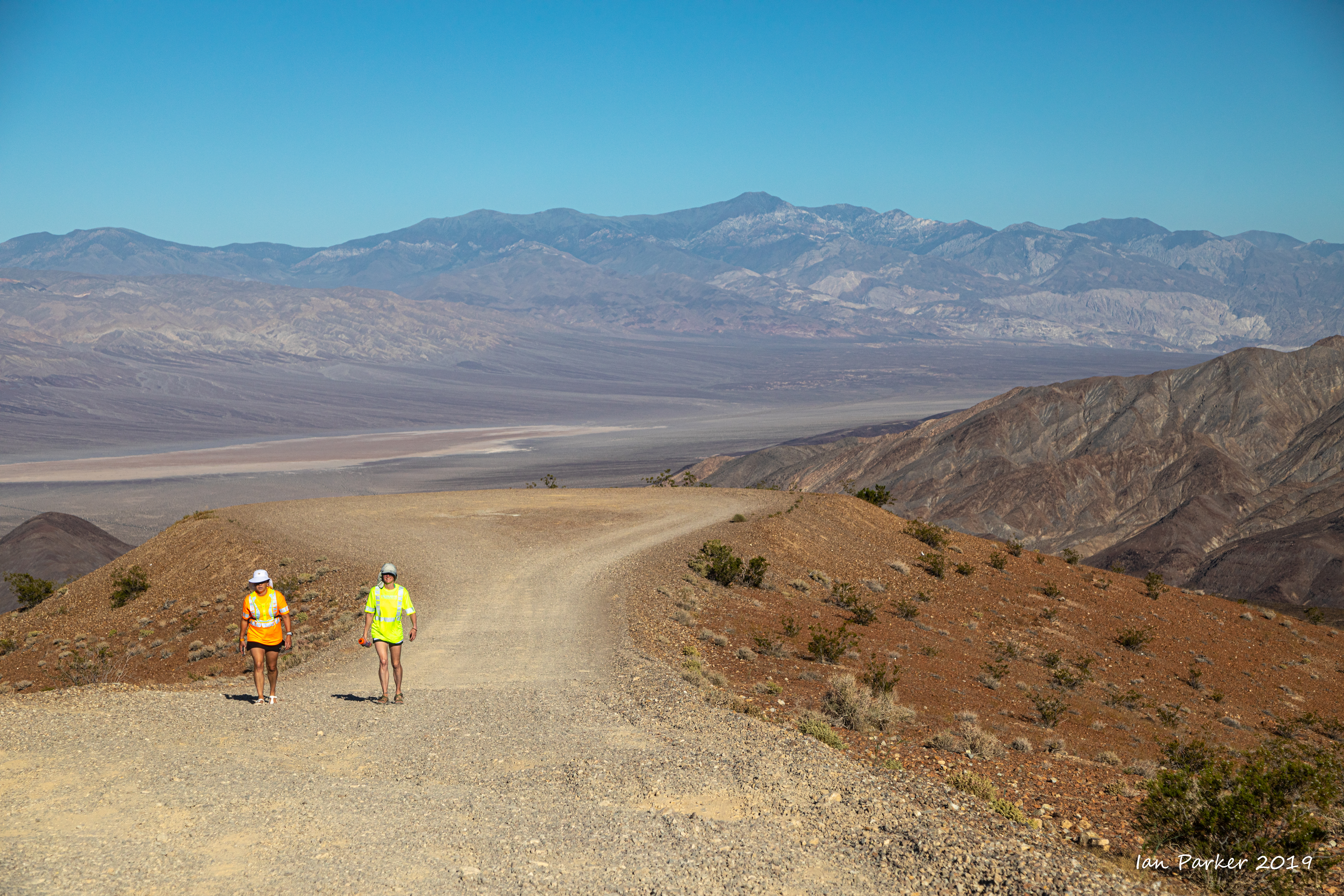
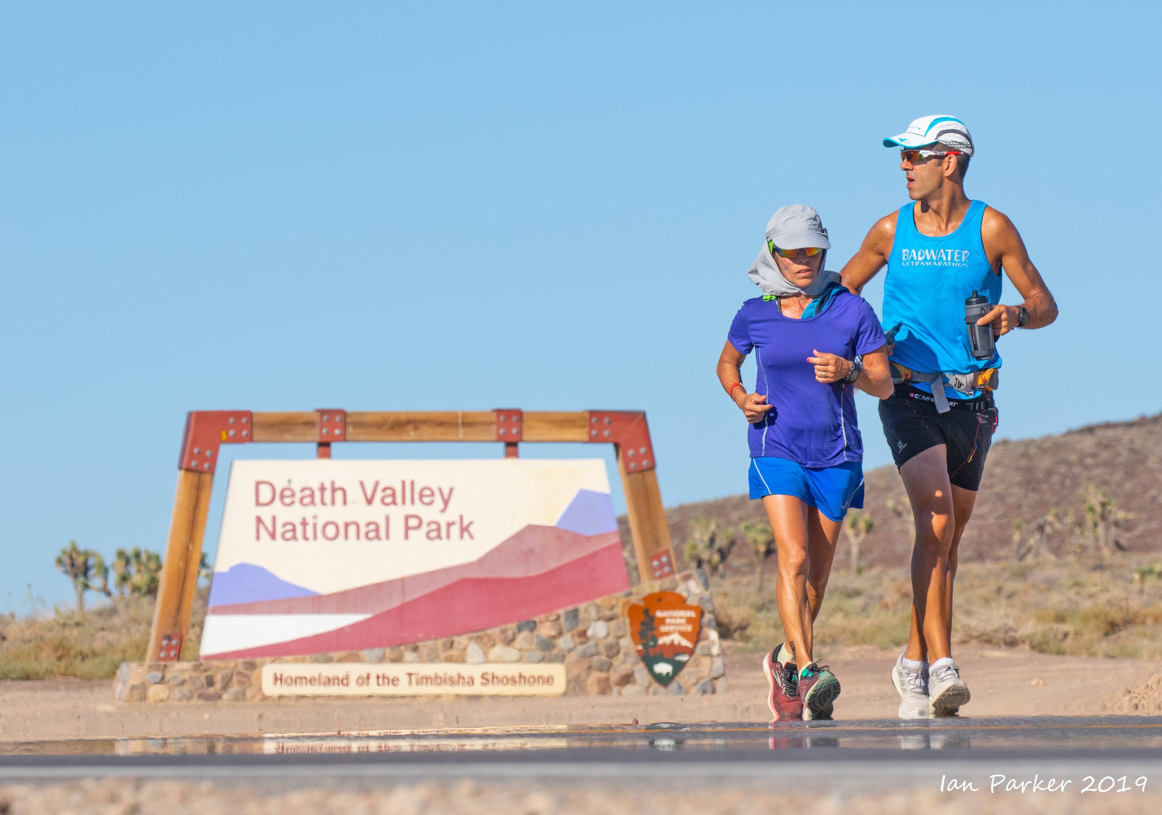
Five miles beyond Father Crowley's Point runners leave Death Valley National Park


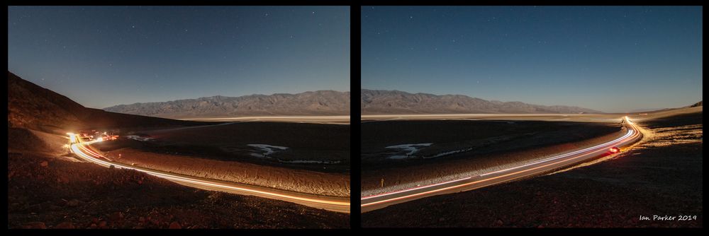
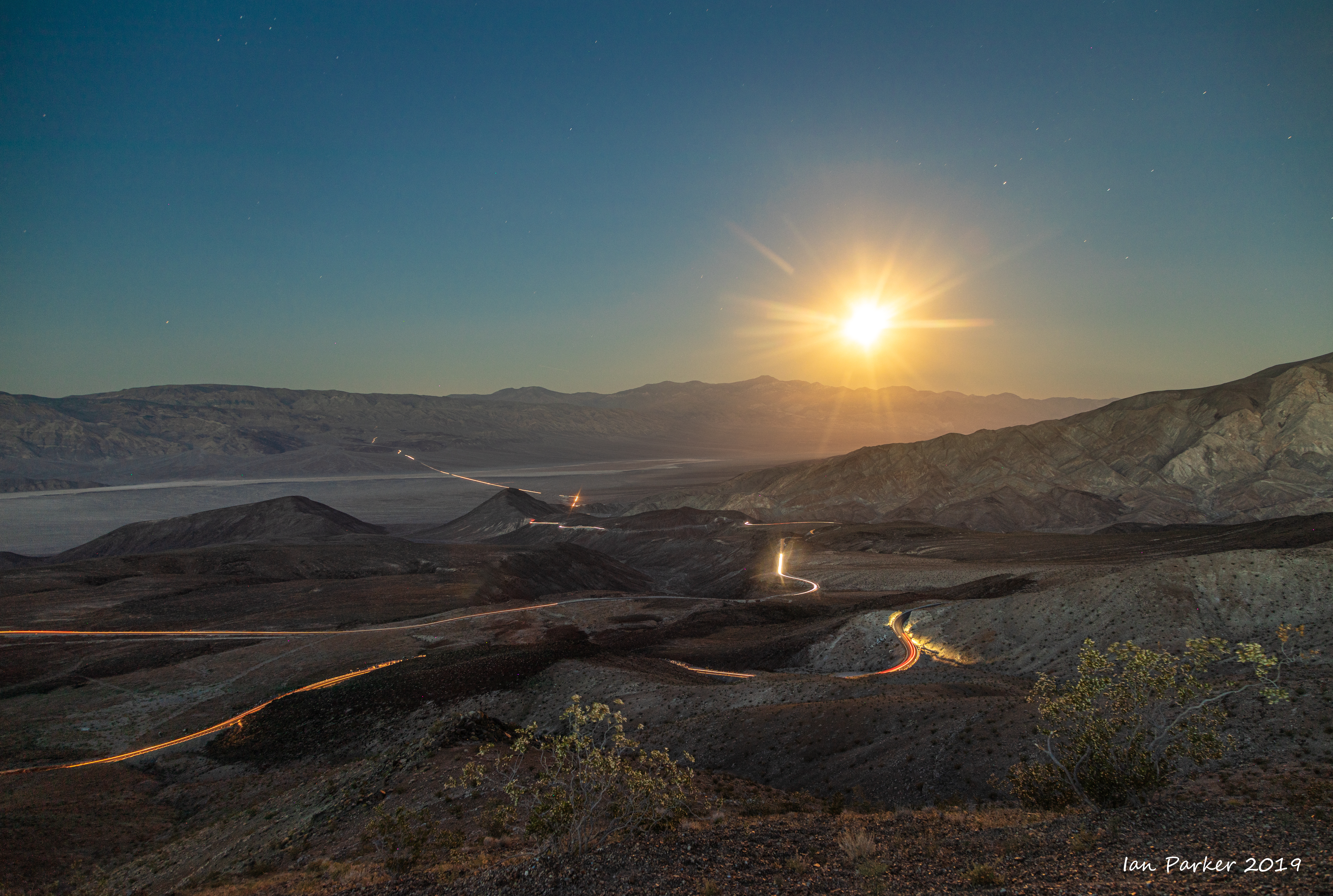
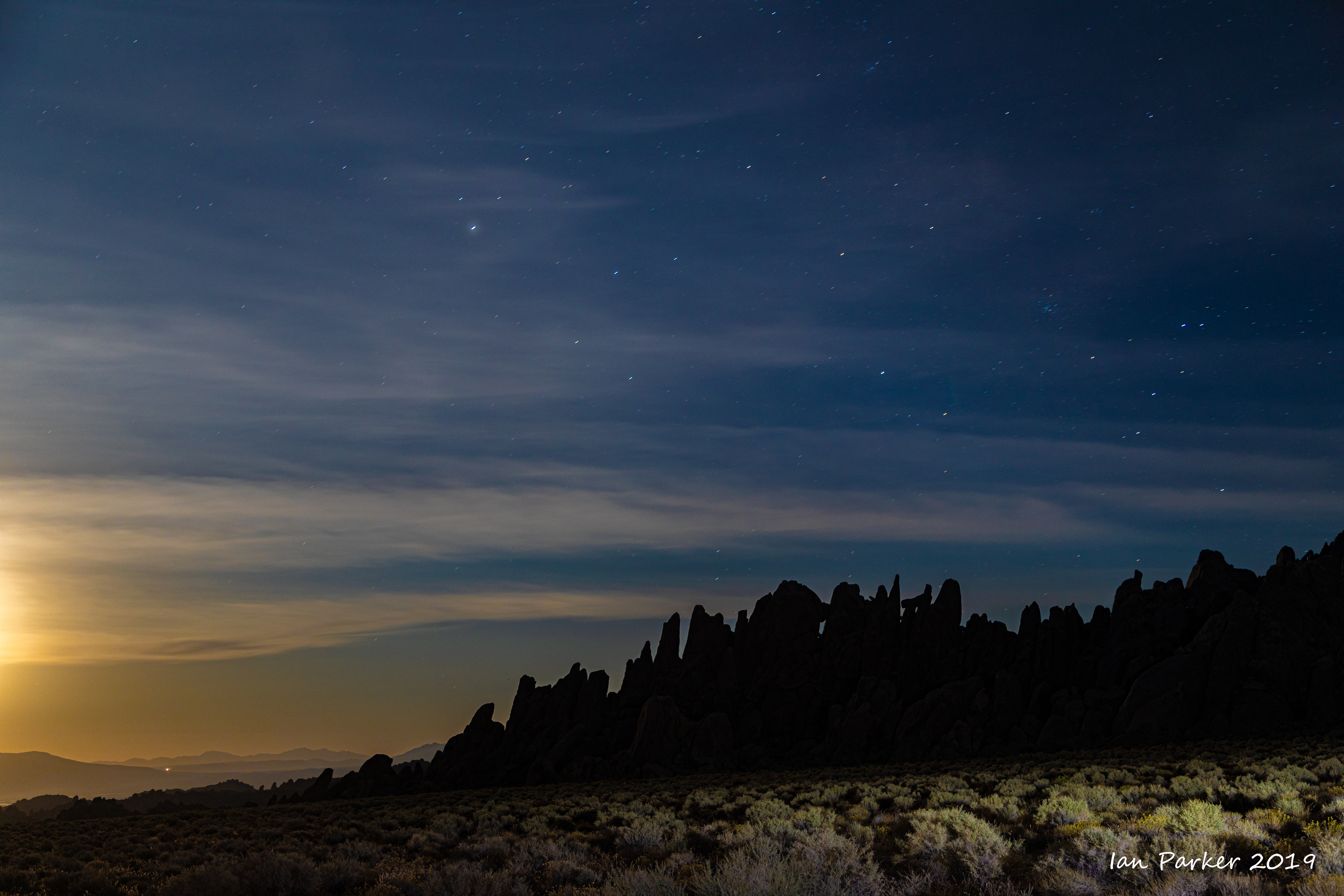
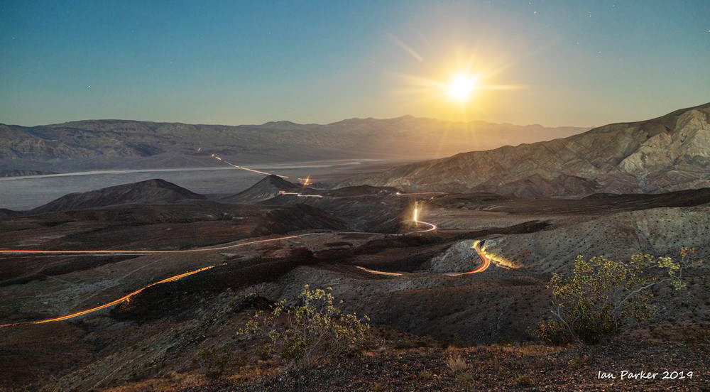
I backtracked to Father Crowley's Point to photograph the full moon rising at sunset over Telescope Peak.


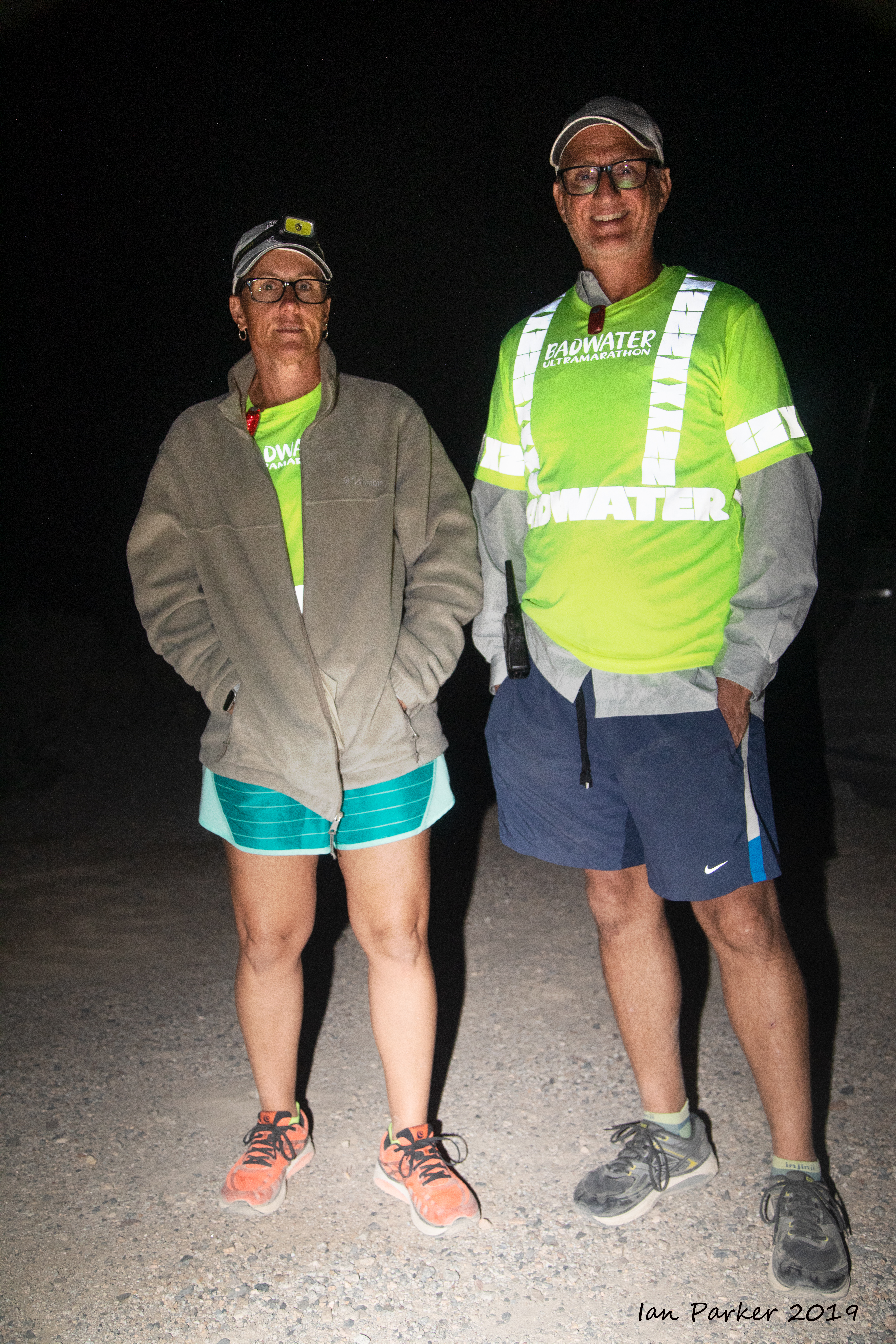
On Tuesday night I got a few hours sleep at a pull-out on BLM land along the 
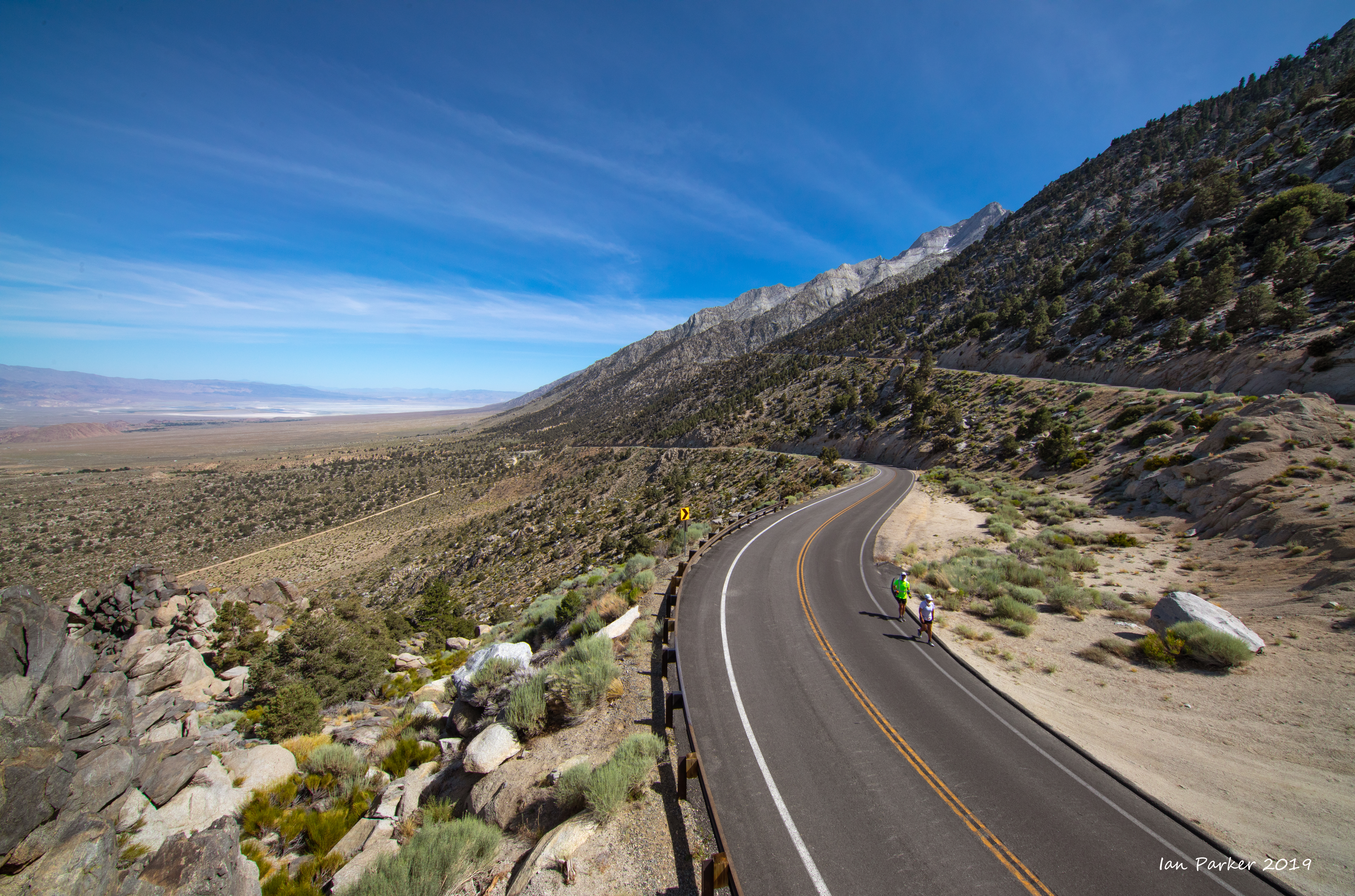
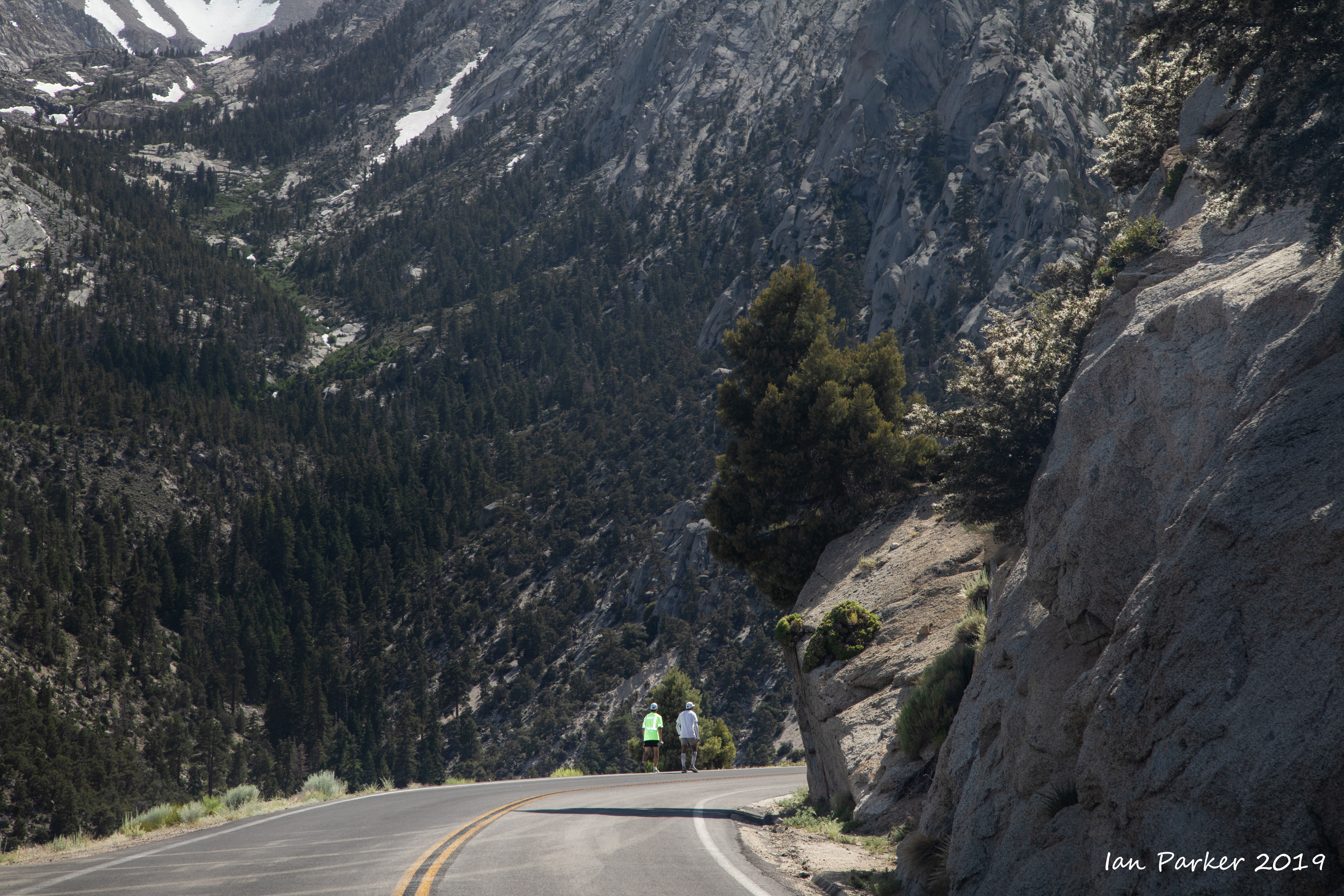
Saline Valley road, and caught up with the runners before dawn of their second night as they descended into Owens Valley.


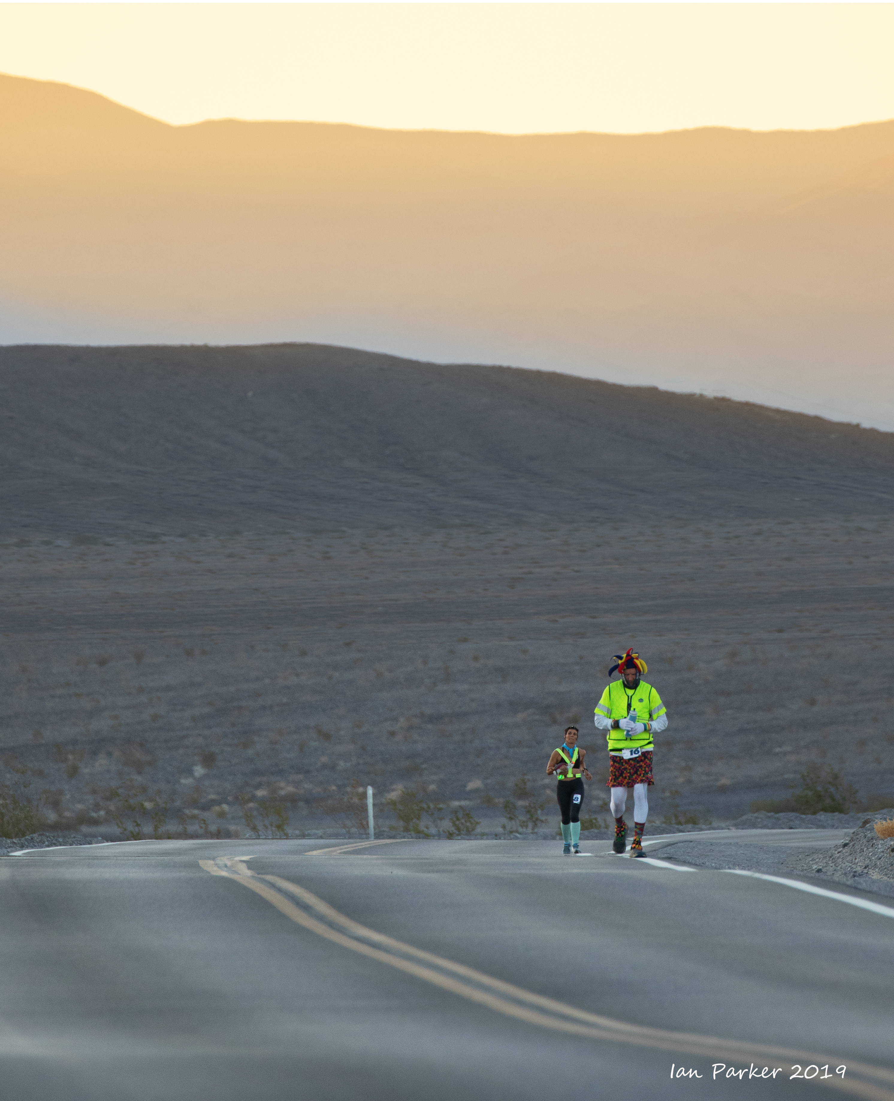
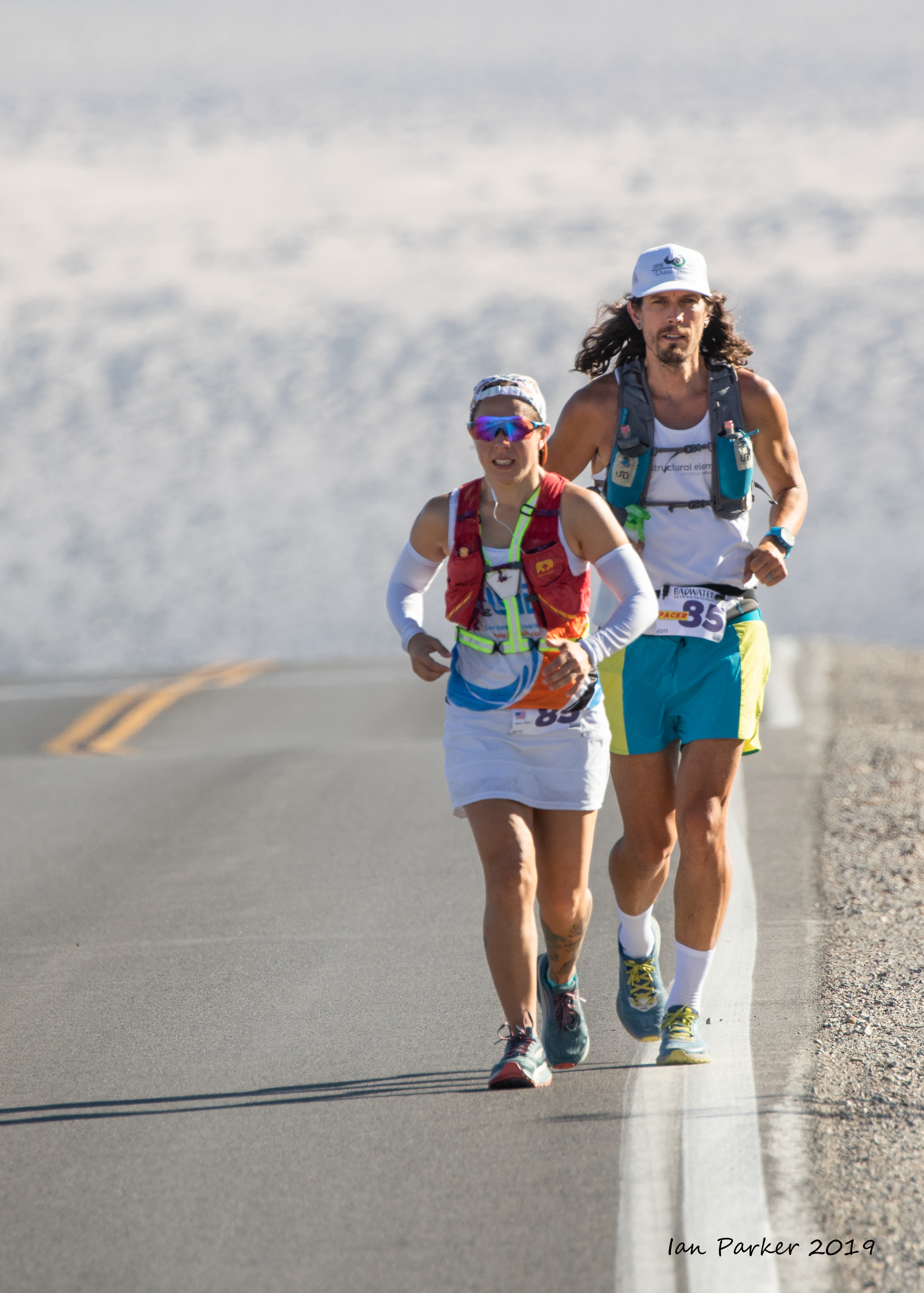
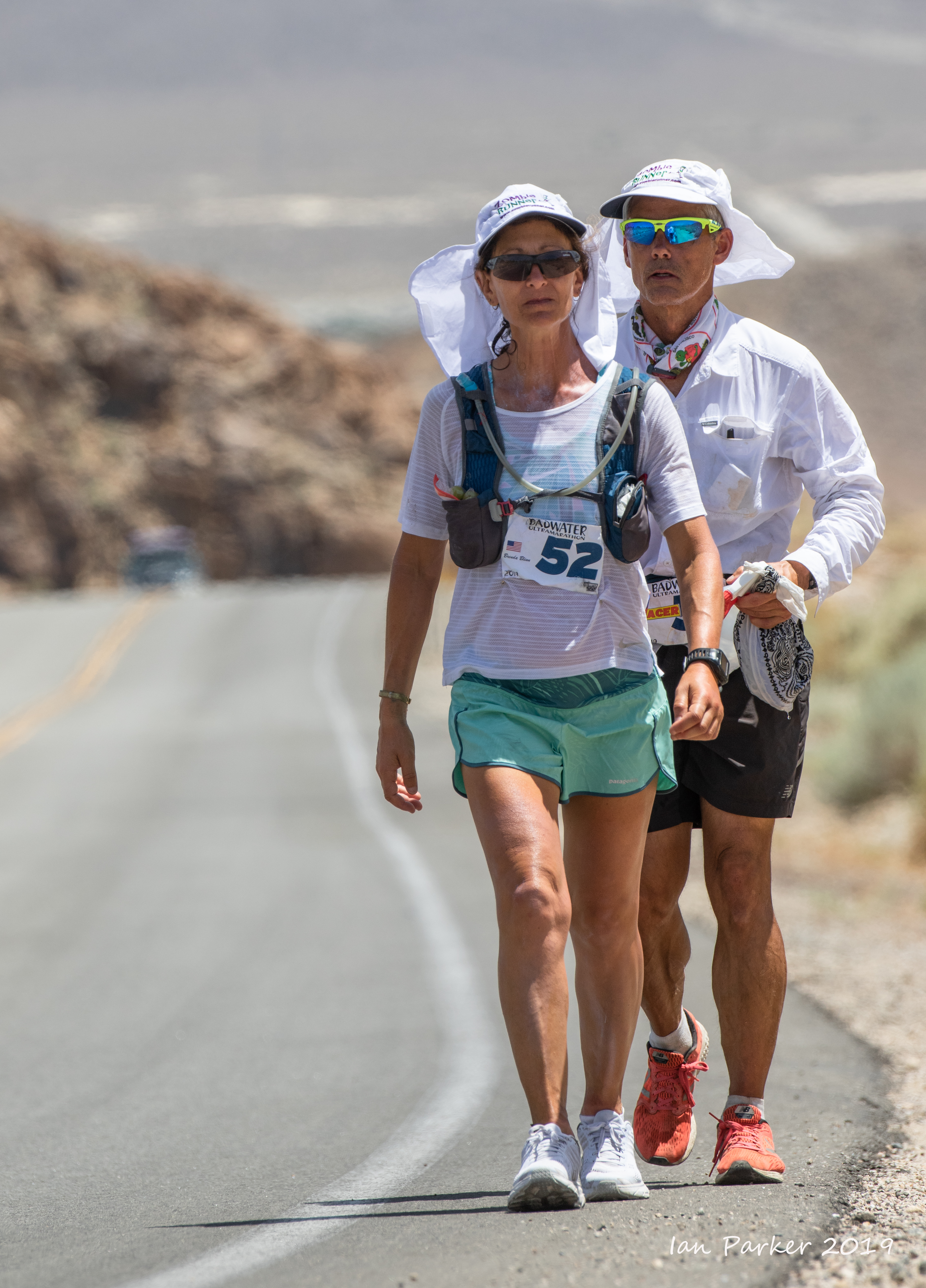
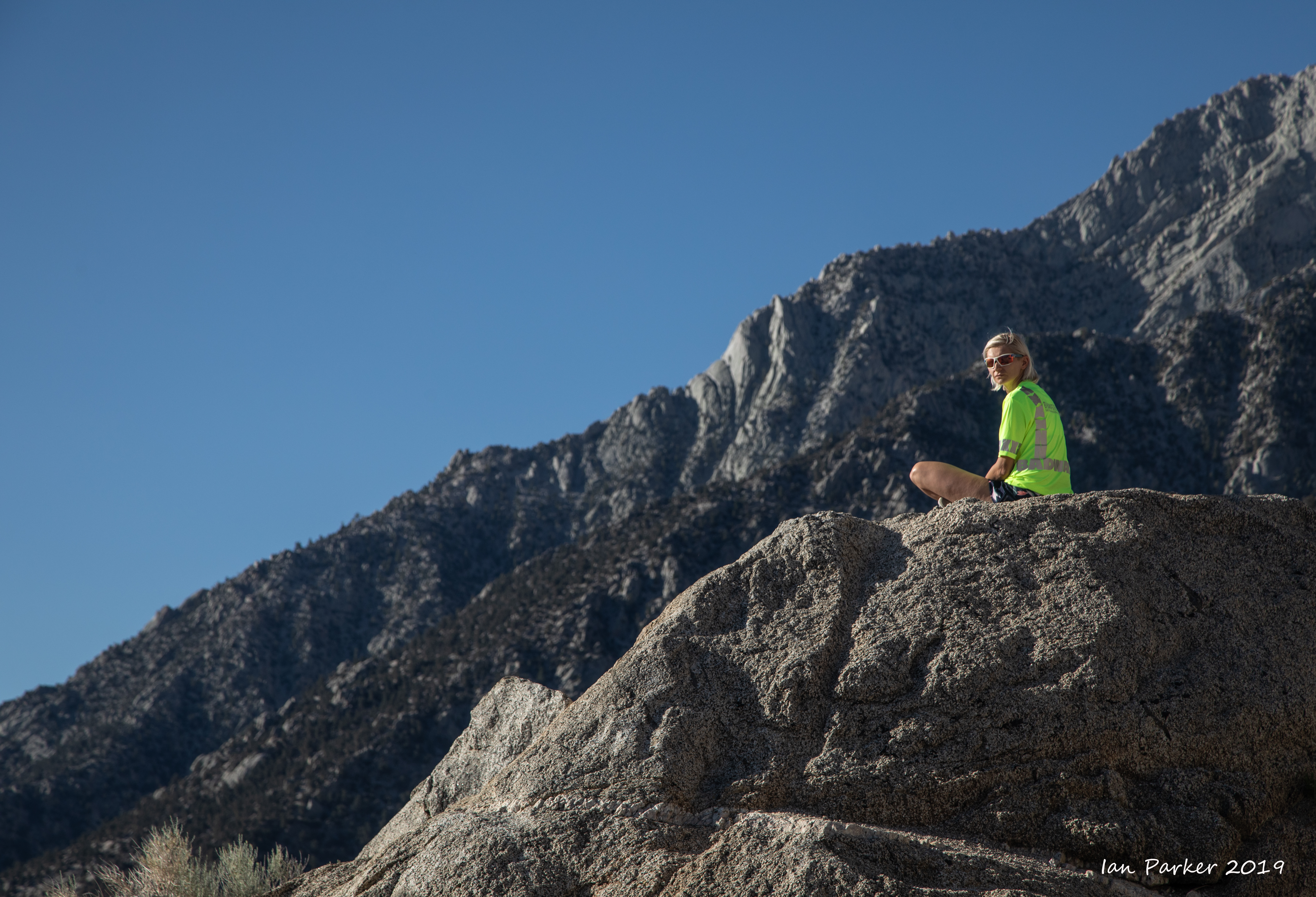
After a long journey through Owens Valley and passing through Lone Pine the runners begin the last half-marathon, with a 4,500ft climb through the Alabama Hills toward the finish line at Mt. Whitney trailhead.


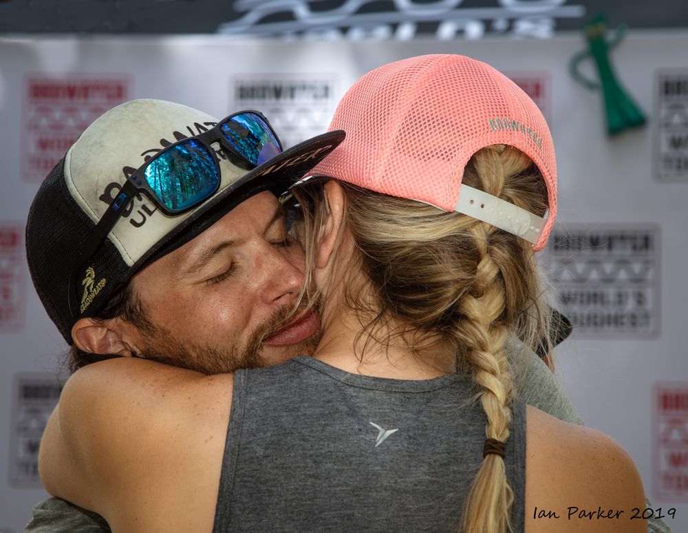
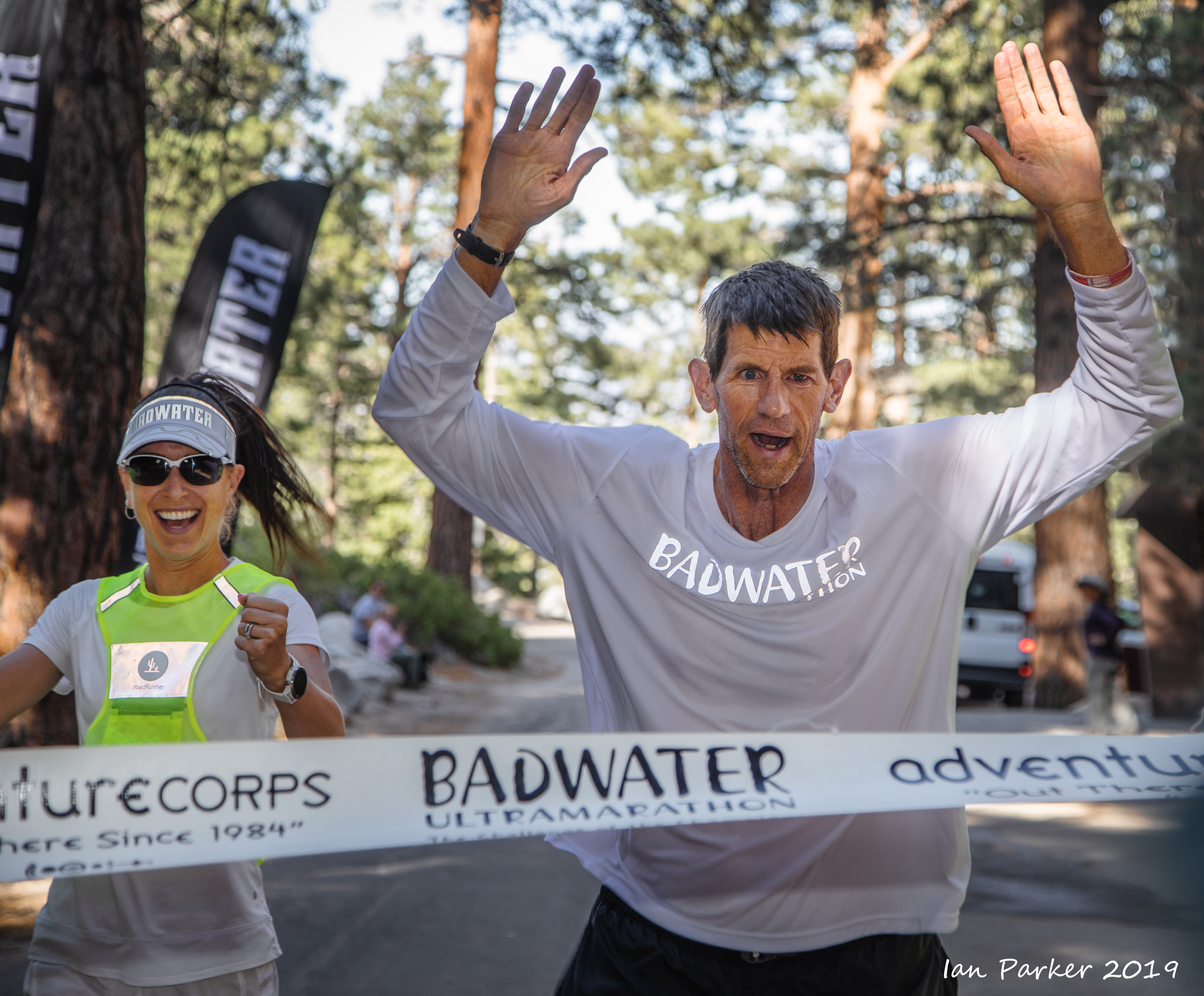
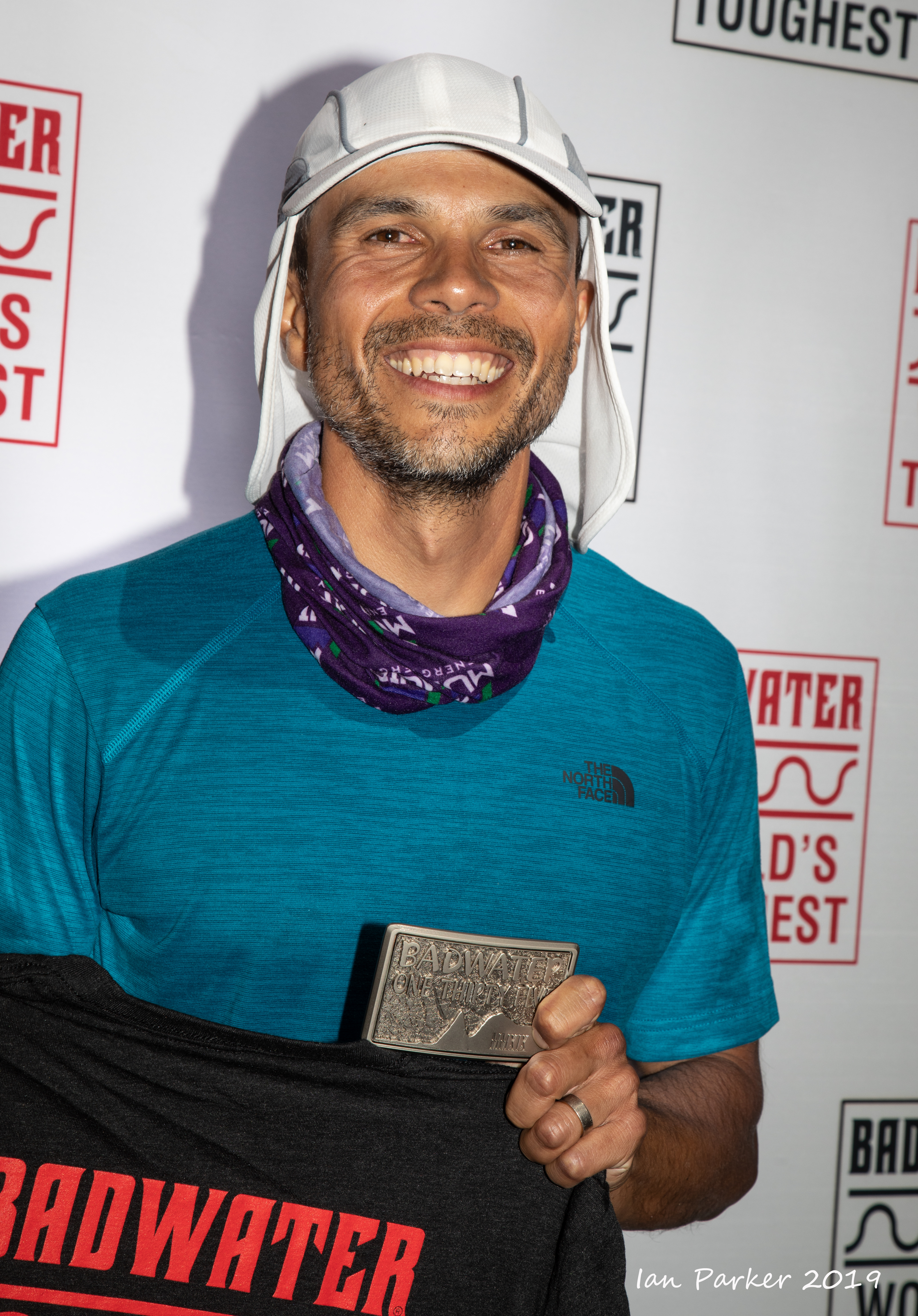
Michael Coutu - finisher
Badwater Ultramarathon 2019


IanParker
1146 McGaugh Hall
University of California,
Irvine, CA 92697

Please send enquiries to evanescentlightphotography@gmail.com

BACK TO >
Parkerlab >
Evanescent Light Galleries Home Page